

This is the final day of the first section of the six hundred mile route I am tackling in three sections over the next couple of months. Yesterday’s incident in the submerged underpass resulted in wet socks and boots for over twenty miles, my boots have dried out overnight and with fresh socks and blisters treated my feet are ready for today’s twenty mile walk to Bridgewater. After a hearty breakfast the rucksack is on my back and I am ready to go.
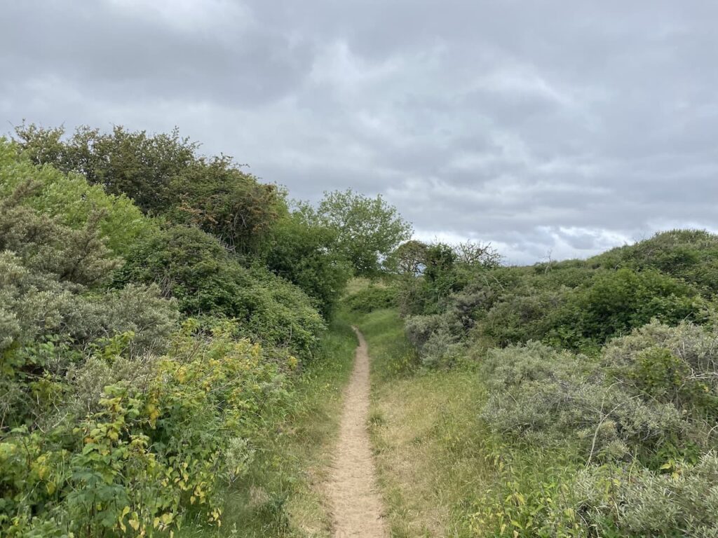
Leaving my accommodation at Yew Tree House I walk towards the seafront. I cross the main road and take a footpath leading onto the beach through the Berrow Dunes Local Nature Reserve.
Turning left along the beach I head south passing a warning sign of sinking sand and mud at low tide, I continue on making sure I stay on firm ground.
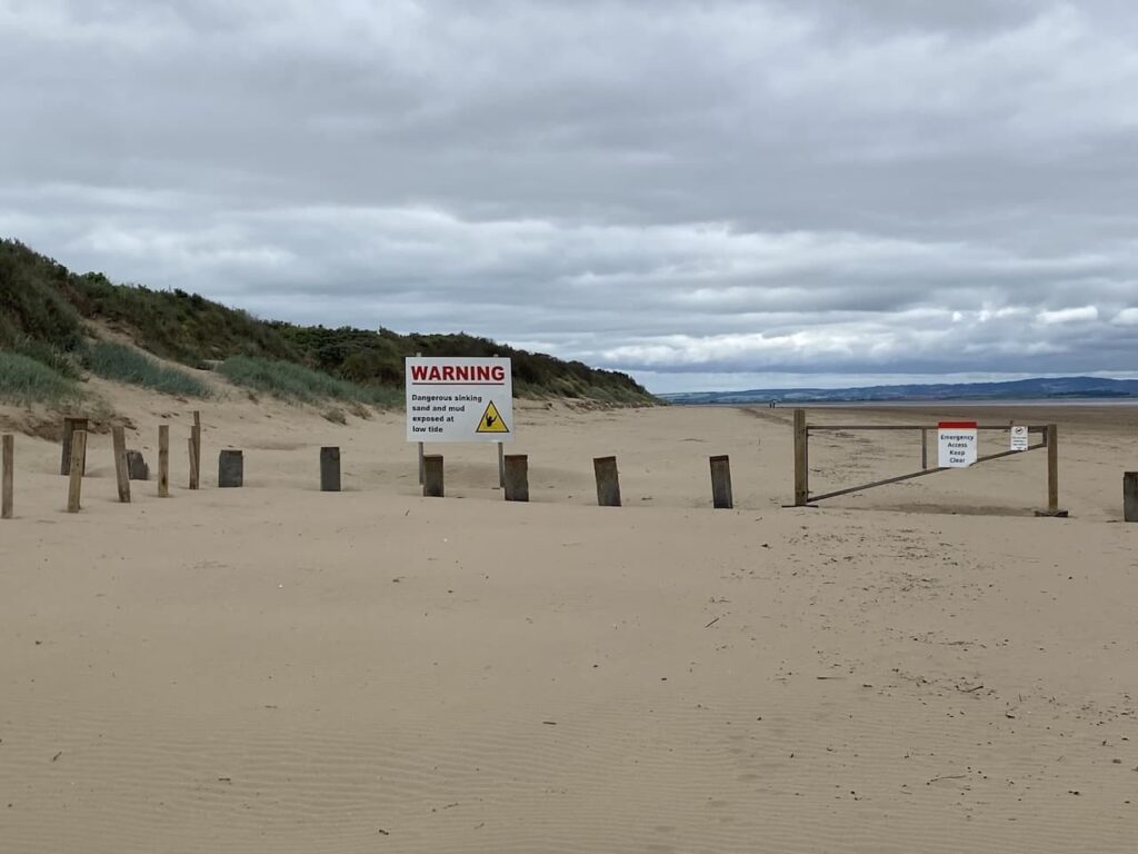
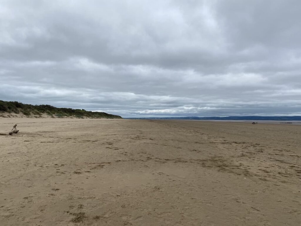
Brean sands is a seven mile long stretch of beach and at low tide there is a huge expanse of sand.
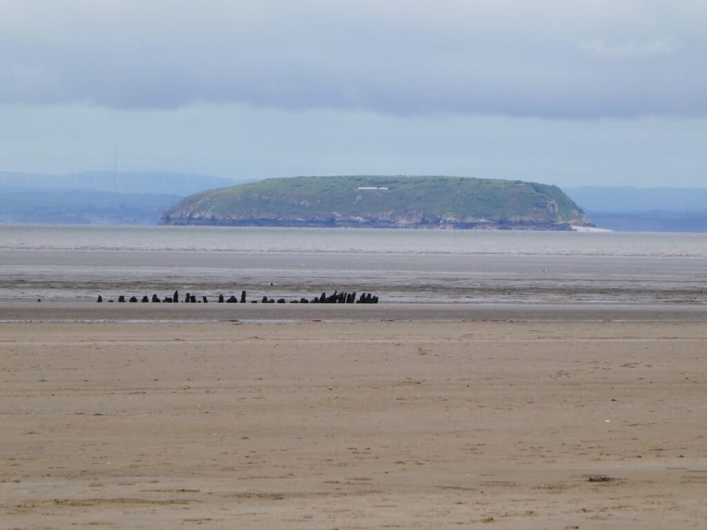
There are fine views behind me of Brean Down and the island of Steep Holm in the Bristol Channel. This island is now a nature reserve and uninhabited apart from the reserve wardens, however it is thought it was once an Iron Age settlement. The Romans used it as a watchtower and in the 6th century it was home to St Gildas and in the 12th century an Augustinian Priory.
It was fortified in the 1860’s and then again during World War I and II. In 1931 it became a bird sanctuary and is now owned by the Kenneth Allsop Memorial Trust.
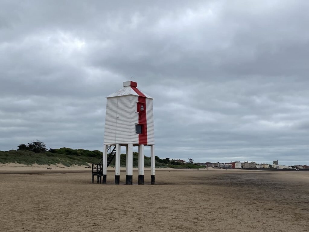
Continuing along the beach I reach the Burnham-on-Sea Low Lighthouse. This striking building has been a feature of this beach since 1832. It stands on wooden legs and was once one of three lighthouses in Burnham-on-Sea and is now the last remaining one.
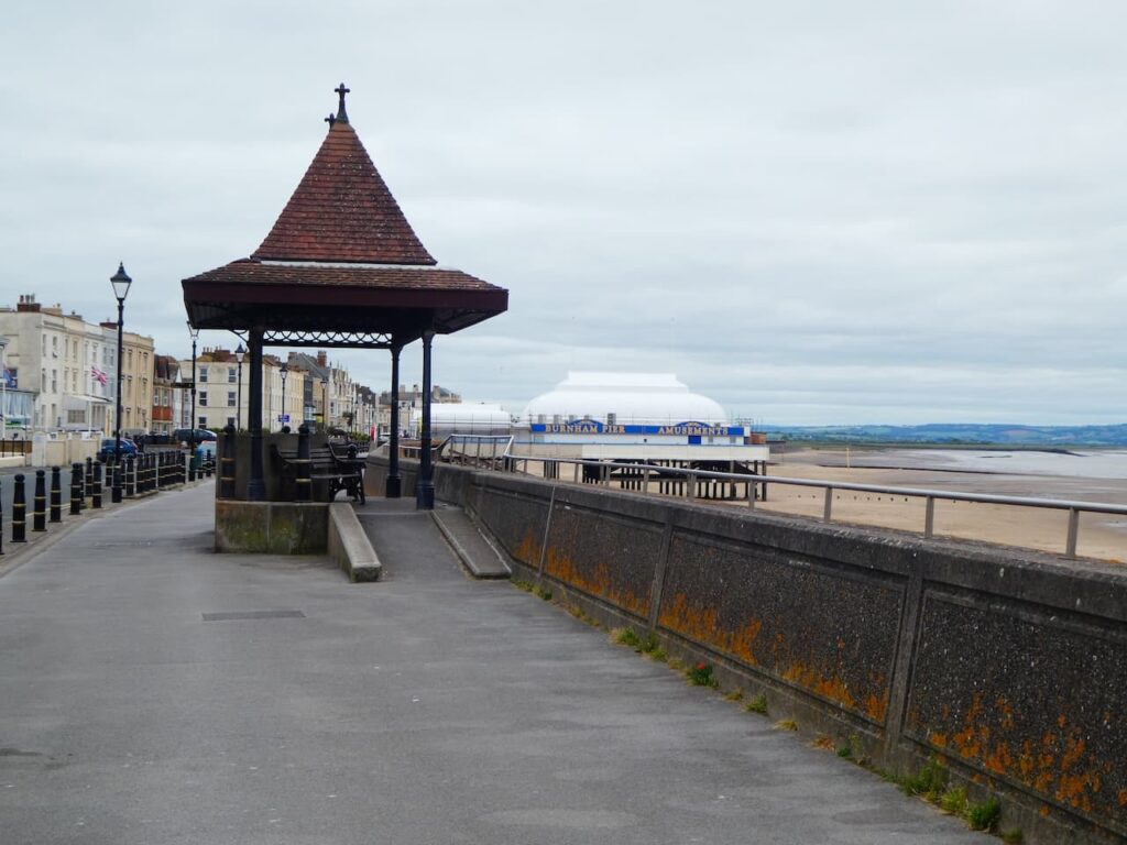
I stay on the beach until I reach the promenade at Burnham-on-Sea and head towards the pier. Built in 1914 and only 121 feet long it is said to be the shortest pier in the country.
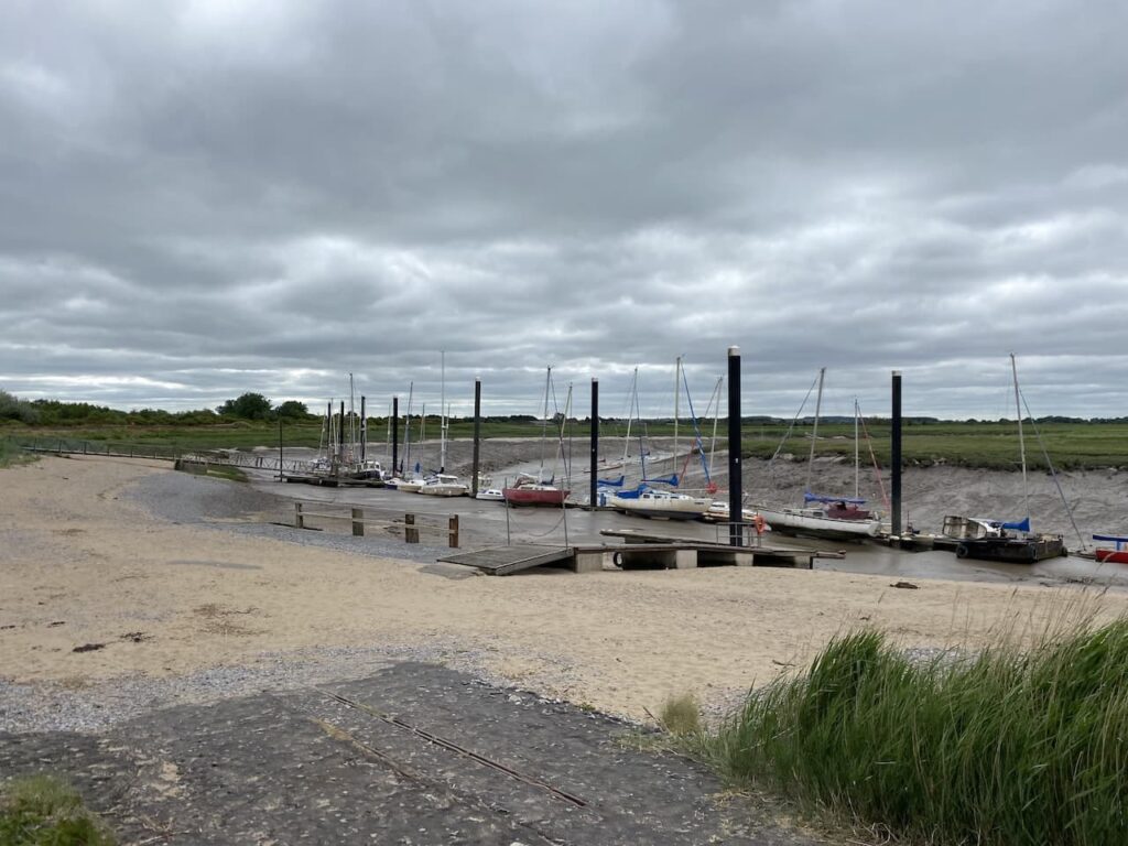
Continuing along the sea front I reach a marina at the mouth of the River Brue. This was once a major harbour in Roman and Saxon times, but the river silted up. In 1904 a wharf was built on the south side of the river and used for the import of coal and export of bricks, tiles and agricultural products.
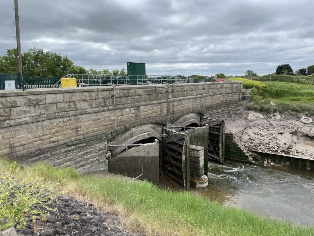
Following the way markers for the English Coast Path I head inland and then cross the River Brue at the New Clyce Bridge which has sluice gates to control the water level of the river and surrounding drainage network.
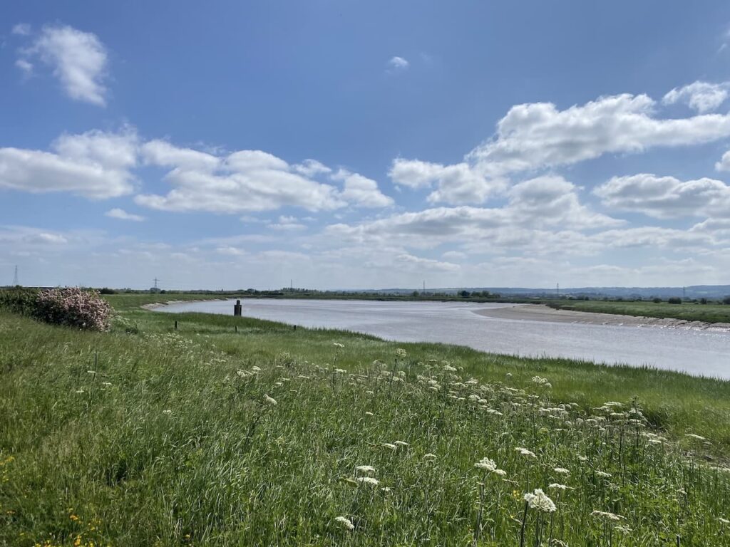
After crossing the bridge I turn right and walk along the coastal path on the south side of the river. There are a number of abandoned vessels dotted along the river bank.
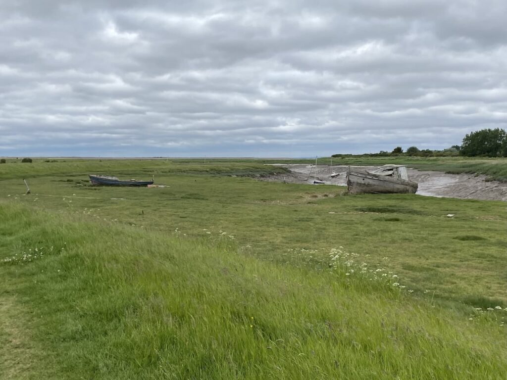
As I once again reach the Bristol Channel I look across the Bridgewater Bay and see the construction work at Hinkley Point C nuclear power station. Construction on this site started in 2017 and the date it will start generating electricity continues to be pushed back and the costs regularly increase by £1bn at a time.
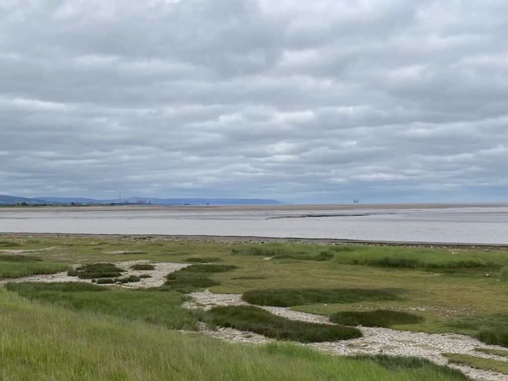
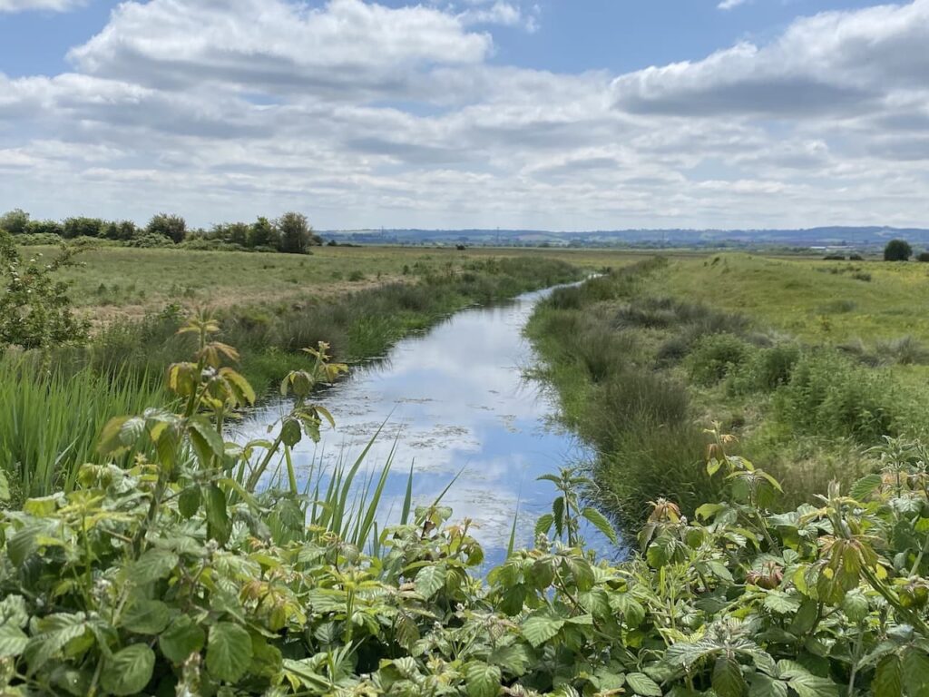
The path then takes me along the banks of the River Parrett with the Quantock Hills in the far distance.

I cross the River Huntspill at the Huntspill Sluice.
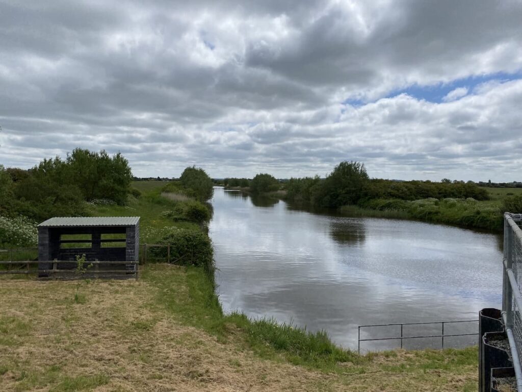
I continue along the flood defences beside the Pawlett Level.
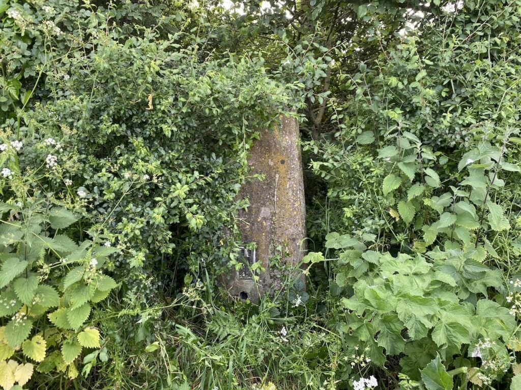
On reaching a footpath on my left I turn inland and head towards Dodds Farm. At a road I go straight on and then after a short distance at a junction I go straight ahead towards Pawlett and then after a couple of hundred yards I take a track heading slowly up Pawlett Hill.
Most people would have continued walking along the coast path besides the river, but this diversion inland is to bag the Pawlett Hill Ordnance Survey trig pillar, number 384 bagged.
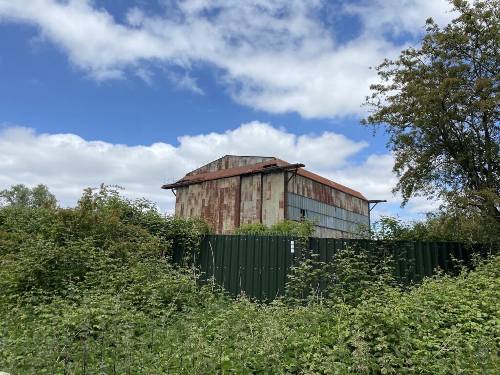
From the trig I head back downhill towards the River Parrett on White House Road and pass a World War II balloon hanger. This was erected in 1940 and was used to test barrage balloons. The hanger enabled the balloons to be stored without being deflated so they were ready for quick deployment.
White House Road continues through the low lying Pawlett Hams towards the River Parrett. The fields either side are surrounded by a network of drainage ditches which create the fresh water wetlands for grazing cattle. However, controversially as part of the development of the nuclear power station at Hinkley Point it is proposed to offset the impact of the nuclear facility by turning this area into a salt marsh which would impact the grazing pasture.
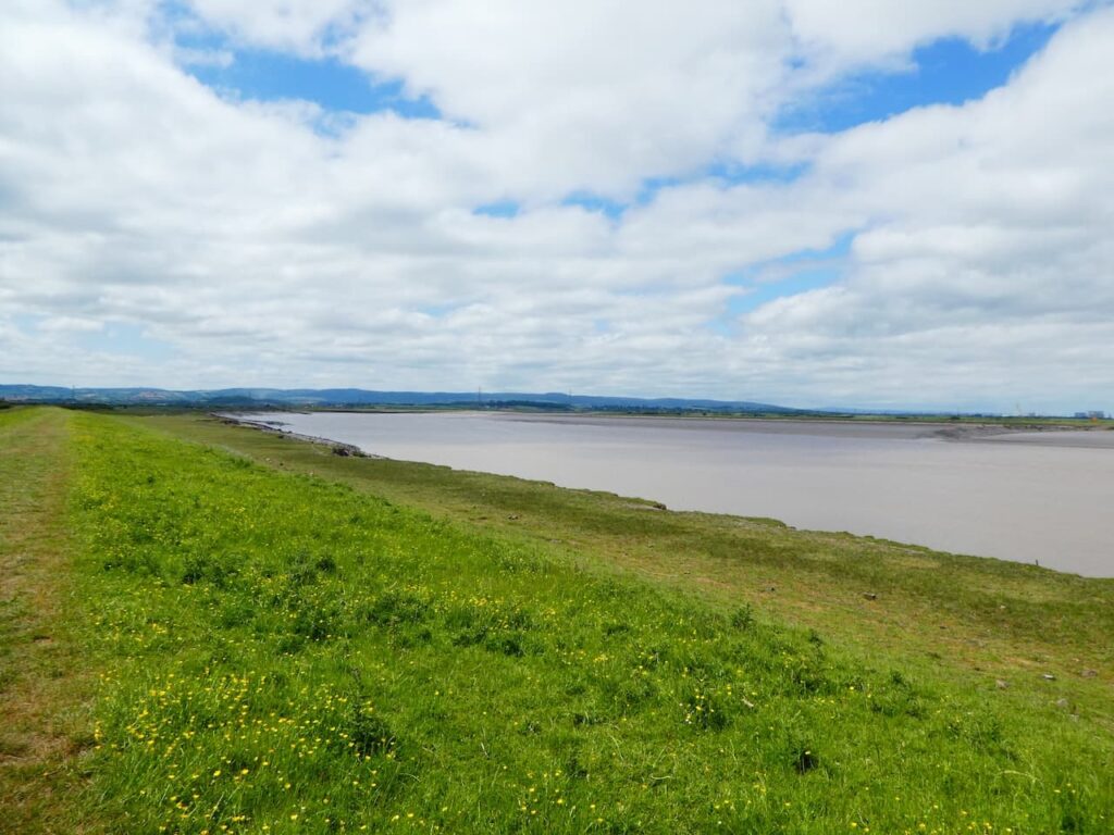
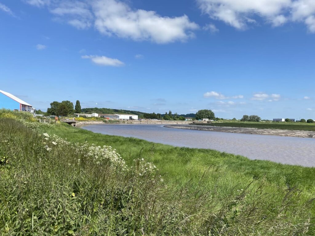
Arriving at the river bank I am opposite Combwich, back in the 15th century this was a port and as late as the 1930’s it was still used for the export of bricks and tiles. The wharf has more recently been used for the delivery of equipment for the construction of Hinkley Point C.
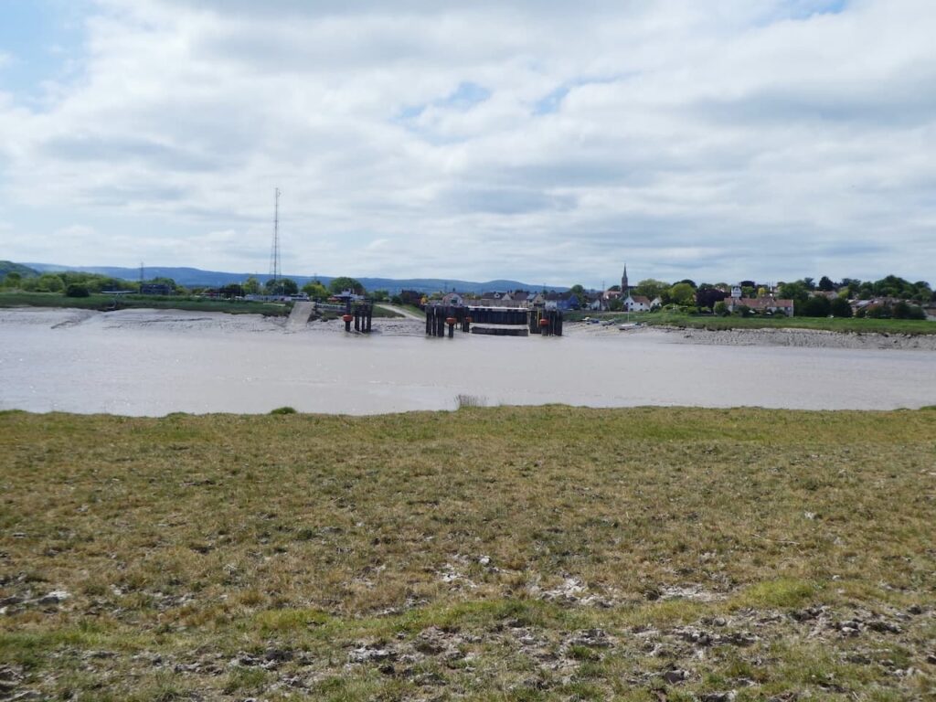
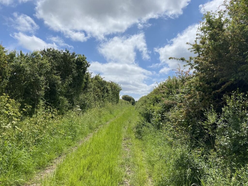
My route is easy to follow as I walk along the embankment beside the river and go through a series of fields.
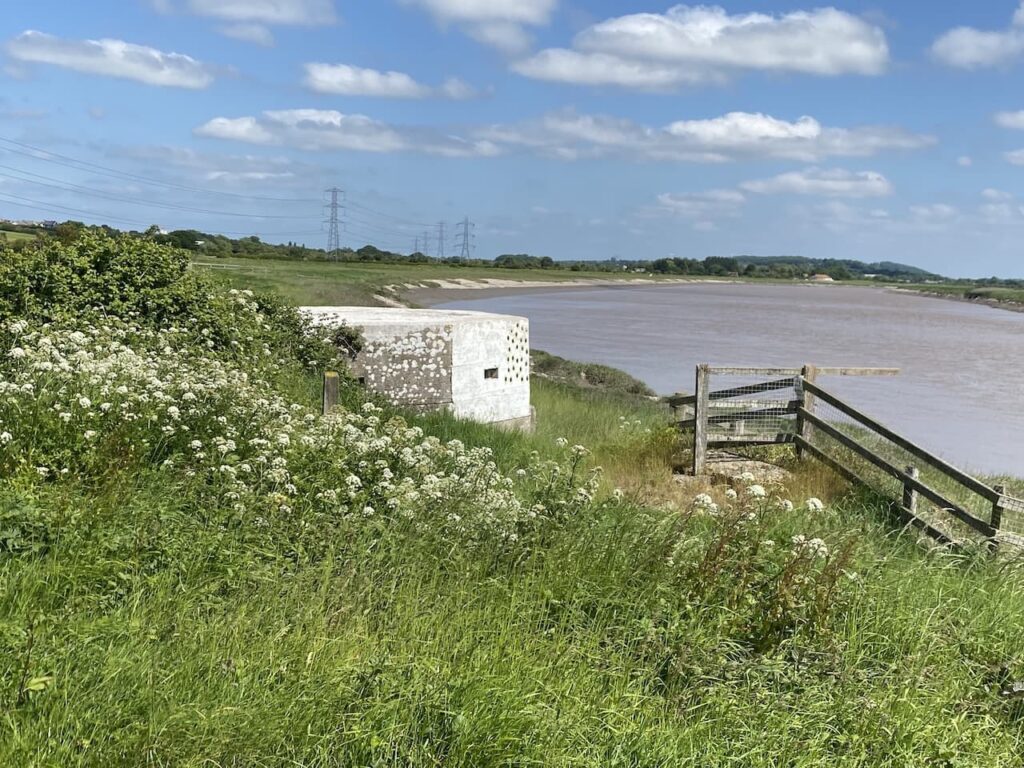
During World War II this river formed part of the defence line and there are a number of pill boxes located in the area.
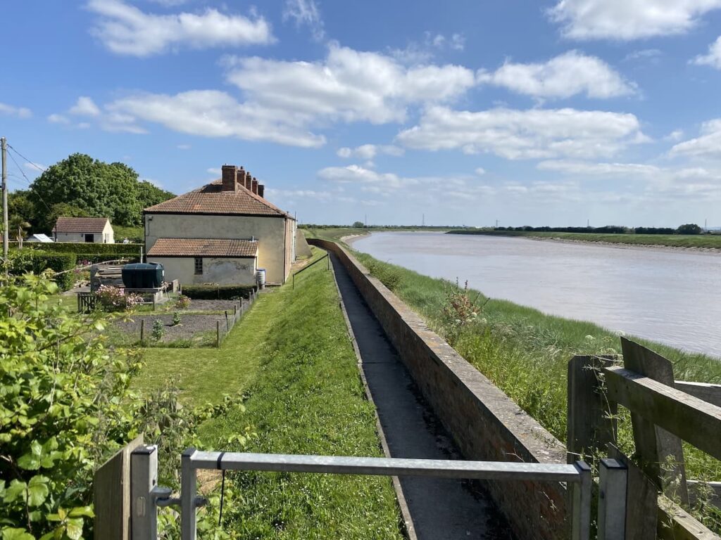
My journey around the Pawlett Hams is completed as I pass cottages close to Brickyard Farm. In times of global warming and rising sea levels this is not a spot I would want to live.
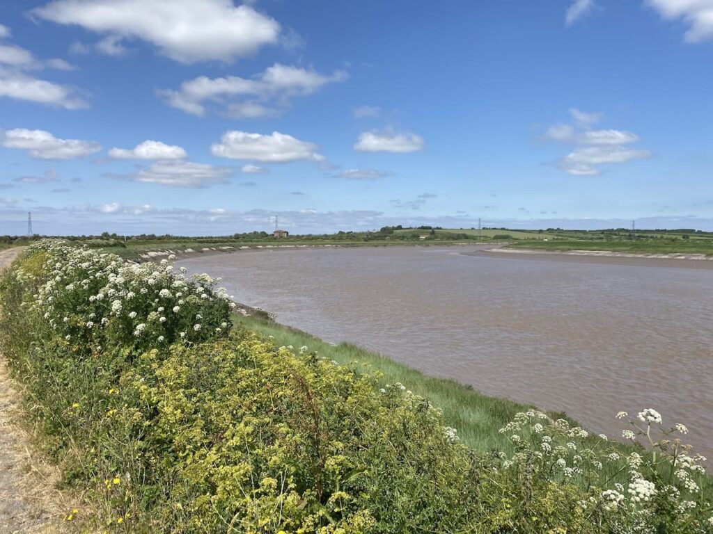
It has been interesting to see the rising tide as I have walked besides the river. The Parrett flows into Bridgewater which was once a major port so at high tide it would have been busy with ships.
So far this has been a very tranquil walk, but as I near Bridgewater the peace and quiet comes to an end.
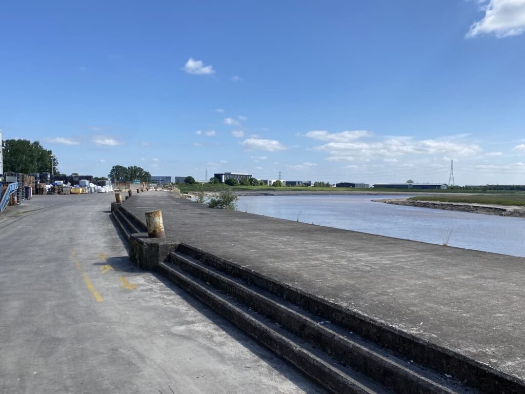
The path takes me through the wharf at Dunball. This was created in 1844 by Bridgewater coal merchants and is the only remaining part of the Bridgewater port still in operation but these days it is used to import aggregates for the construction industry.
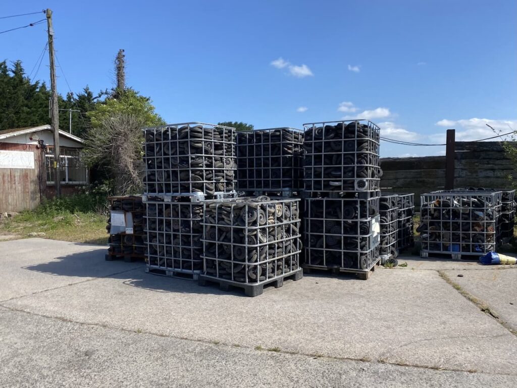
The wharf is also the home of a plastic recycling business and the place is full of old wheelie bins. A chap in the yard tells me it is one of the largest recycling centres for bins in the country.
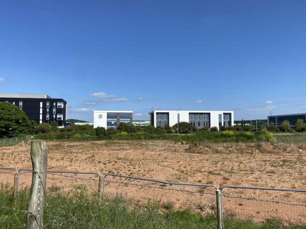
On reaching the A38 I turn right and after a short section take a footpath on the right which takes me back to the river bank. It is obvious that the area around here is soon going to be built on.
Whilst I have the river to my right the area to my left is increasingly occupied by industrial units so it is not the most relaxing place to walk. On reaching the A39 I take the bridge over the river and then on the other side rejoin the path with the river now on my left.
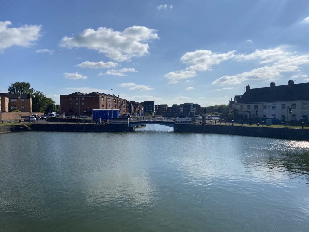
The riverside path leads to Bridgewater Docks. There were docks recorded in the town in 1348 with quays being built in 1424. A floating harbour which is known as the docks was opened in 1841 and at its peak in the early 1880’s 3,600 ships per year entered the port.
When planning the route I decided not to be tied by train services so have booked overnight accommodation. Over the last six days I have walked 150 miles and I have completed the first section of the much longer walk I have plotted for the coming months. I will resume my trek in just over four weeks time when I will head off from Bridgewater along the coast to Bideford before heading back inland on the south side of Exmoor to reach Taunton.
For now it is time to have a meal and pint and reflect on the ups and downs of this first part of my adventure.
To follow this walk you will need Ordnance Survey OS Explorer – 153 – Weston-super-Mare & Bleadon Hill; and OS Explorer – 140 – Quantock Hills & Bridgwater
You can view this walk and download the GPX File on OS Maps (OS Maps subscription required)
31st May 2023
© Two Dogs and an Awning (2023)
All information on this site is provided free of charge and in good faith and no liability is accepted in respect of damage, loss or injury which might result from it. To the best of my knowledge the routes are entirely on public rights of way or within areas that are open for public access.
Walking can be hazardous and is done entirely at your own risk. It is your responsibility to check your route and navigate using a map and compass.