

Over the last few months I have been planning a long distance walk which will take me on a circuitous route of around 250 miles from Letchworth in Hertfordshire to Warminster in Wiltshire. It is difficult to be more accurate because I know from past experience that the best laid plans for a route are often scuppered due to blocked footpaths or other unforeseen hazards.
Today’s 25 mile route from Letchworth to Dunstable mainly follows the Icknield Way long distance path so it should be easy to navigate. To ensure I am fresh for a full day of walking I travelled to Letchworth yesterday afternoon and stayed overnight.
Letchworth is an interesting place, it was created as a Garden City by the social reformer Ebenezer Howard. His idea was to mix Town and Country living and create homes where the residents had access to open spaces and also to create a barrier to development on agricultural land. His ideas on the protection of rural land later became enshrined in planning across the country and became know as the Green Belt.
The first homes were occupied in 1904 and parts of the architecture of the central part of the town were greatly influenced by the art-deco movement. This includes the Broadway Cinema, which opened in 1936.
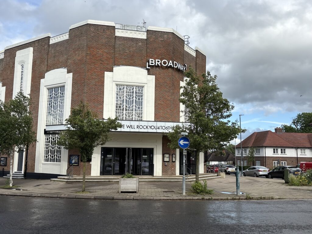
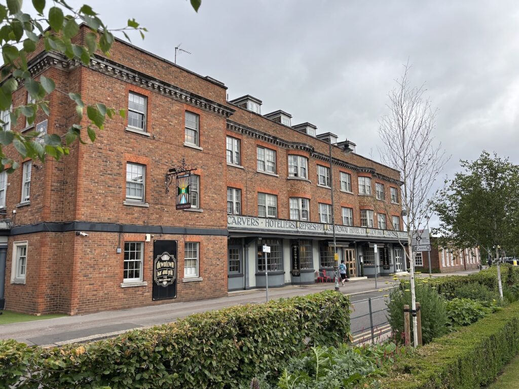
The Quakers had a strong impact on the development of the town resulting in no new pubs being built. The Broadway Hotel, built in 1961, was the first licensed premises to be built in Letchworth and this was my accommodation last night. After an early breakfast I load up the rucksack and make an early start.
Leaving the hotel I head towards the railway station and turn right into Station Road and go steadily downhill to a roundabout where I turn left and then soon turn left again into Nevells Road. For reasons that will become apparent this road was originally called Exhibition Road but the name was changed in 1908.
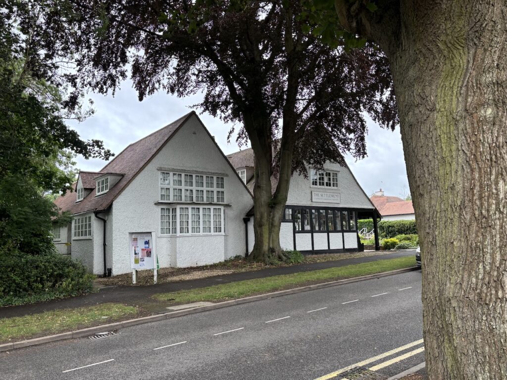
One of the first buildings on the left hand side is the Letchworth Settlement community centre. This building was formerly the Skittles Inn and was built in 1907 as part of the development of the town. It was known as the pub with no beer because it only served soft drinks. It remained as an inn until 1923 and was then taken over by the Letchworth Settlement. It was from here that the philosopher and puppeteer Walter Wilkinson started his travels in the book Vagabonds and Puppets, first published in 1930.
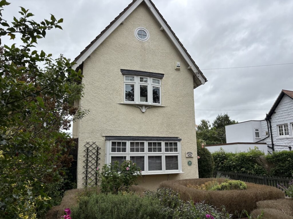
Making my way along Nevells Road I notice an extraordinary number of properties with Blue Plaques on them. Wondering why so many notable people lived on the same street I take a closer look and discover that the plaques commemorate the 131 Exhibition Cottages built in 1905 as model homes to demonstrate the various styles of properties that would be erected around the new Garden City with each costing no more than £150 to construct. This is why this road was originally known as Exhibition Road.
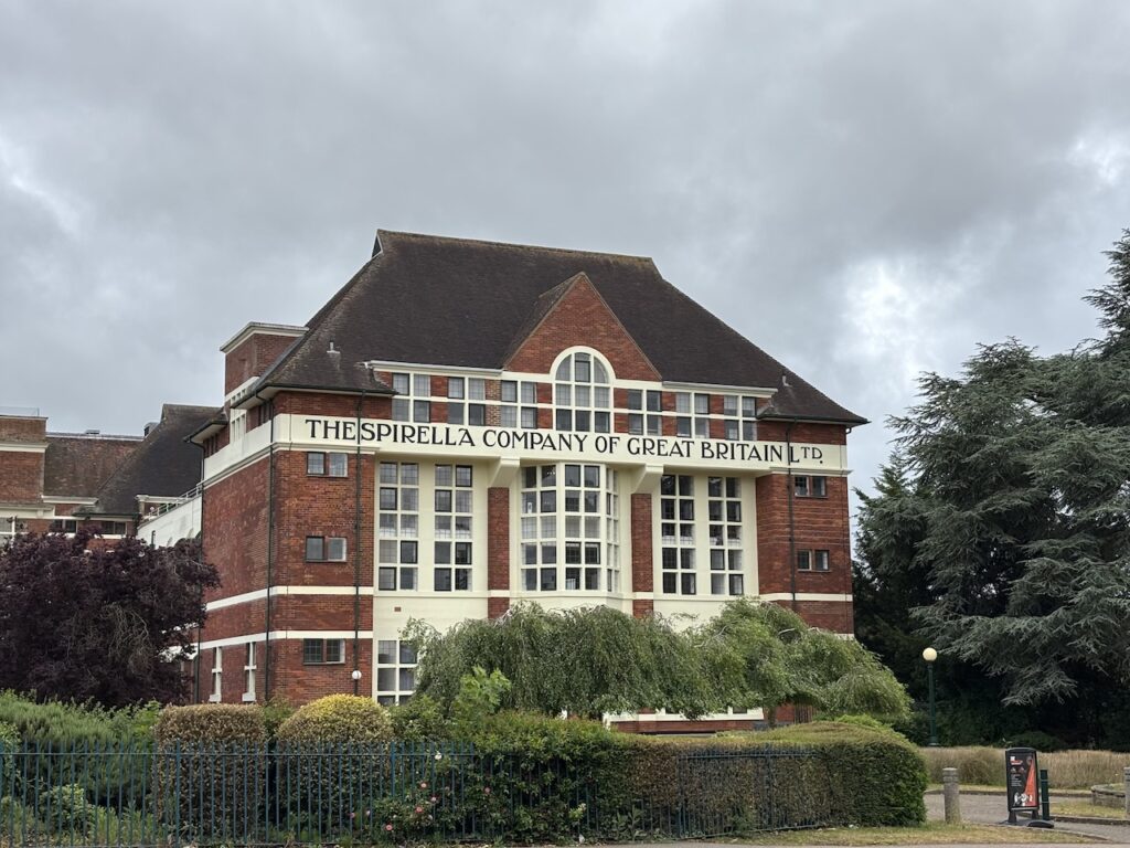
At the end of the road is the stunning former location of the Spirilla Company of Great Britain. The company produced corsets and undergarments and opened its first factory in Nevells Road in temporary accommodation in 1910 but between 1910 and 1920 the impressive factory was built. It closed as a factory in 1989 and was converted into high quality office space. The building is owned by the Letchworth Garden City Heritage Foundation.
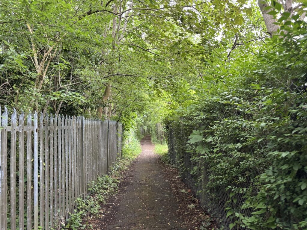
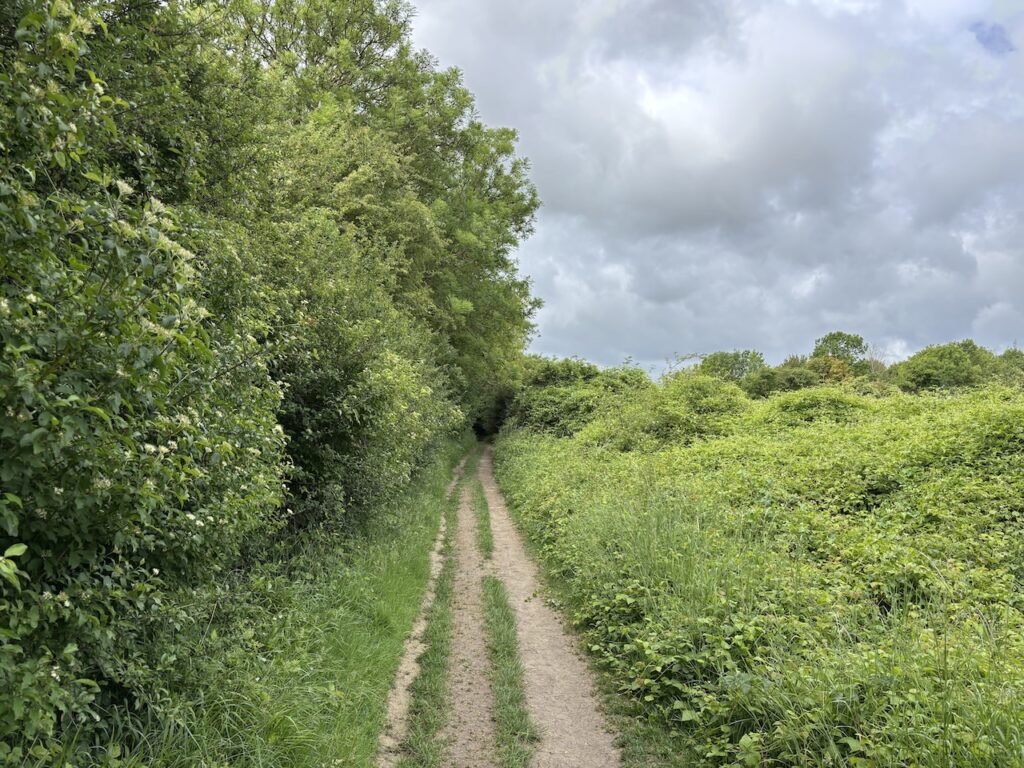
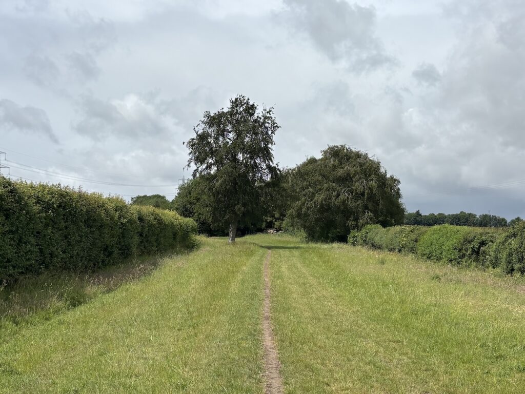
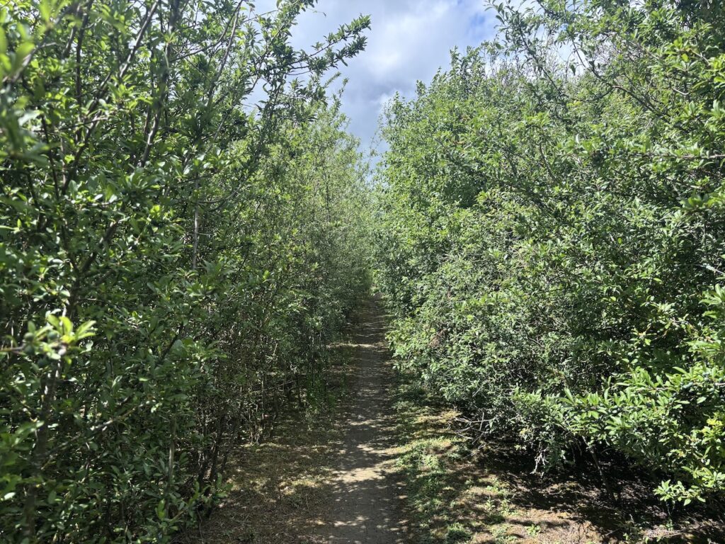
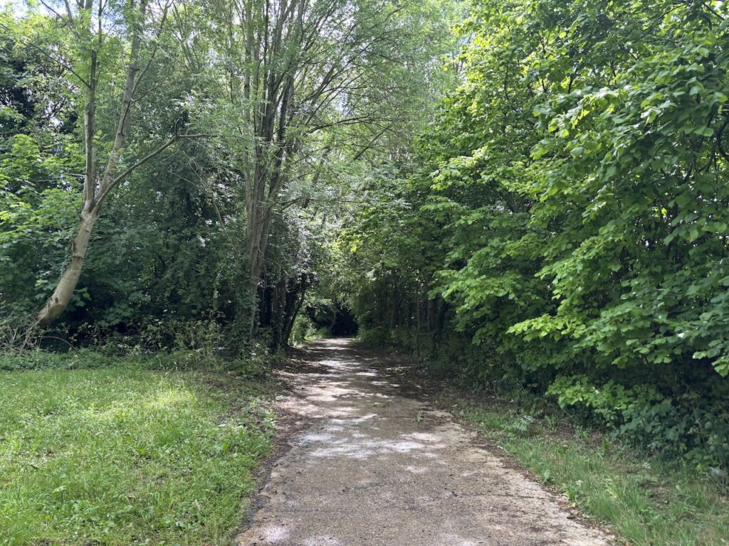
Turning left in front of the factory I take a footpath on the right just before reaching the railway bridge. This path runs between the railway line and factory and is part of the Icknield Way long distance path.
At the end of the path I follow the Icknield Way way markers and turn right and then left turn into a road appropriately named Icknield Way and stay with this to head west out of the town. Shortly after passing an entrance to a school I take a path on the left which heads across Wilbury Hill towards a main road.
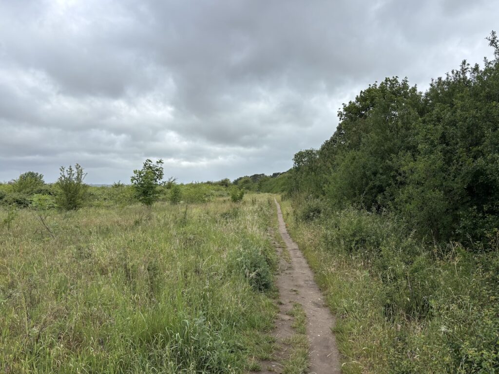
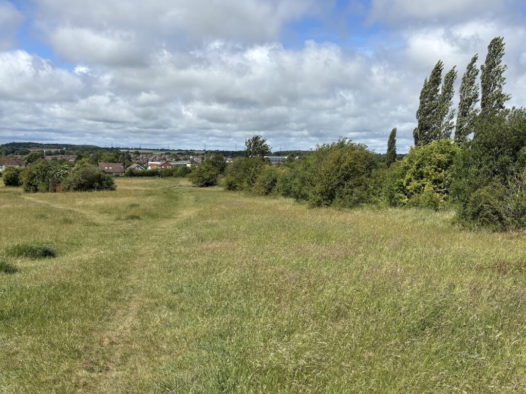
After crossing the main road I continue on the Icknield Way towards Ickleford. I know that sections of todays walk are going to be in built up areas so I make the most of the wide open countryside and expansive views.
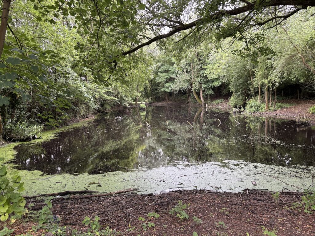
After taking a metal bridge across a railway line I reach a large pond . This is known as Gerry’s Hole and it is a “borrow” from where material was taken to build the nearby Hitchen to Bedford Railway line in the 1850’s. Apparently Gerry was a navvy who following a heavy night in the pub fell into the hole and drowned.
The site is now a volunteer run conservation project trying to create a biodiverse haven for flora and fauna.
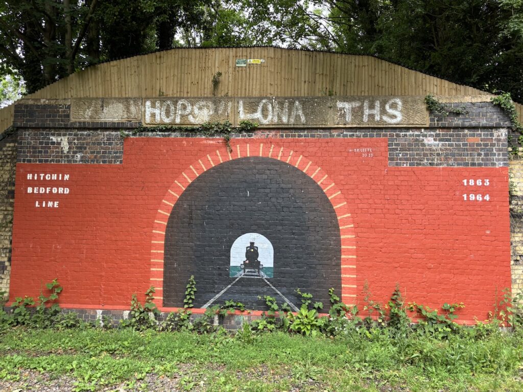
I pass the old Hitchen to Bedford Railway line, this opened in 1857 and was a branch line of the Midland Railway. It operated a passenger service connecting communities until 1961, goods services continued until 1964 when the line was completely closed.
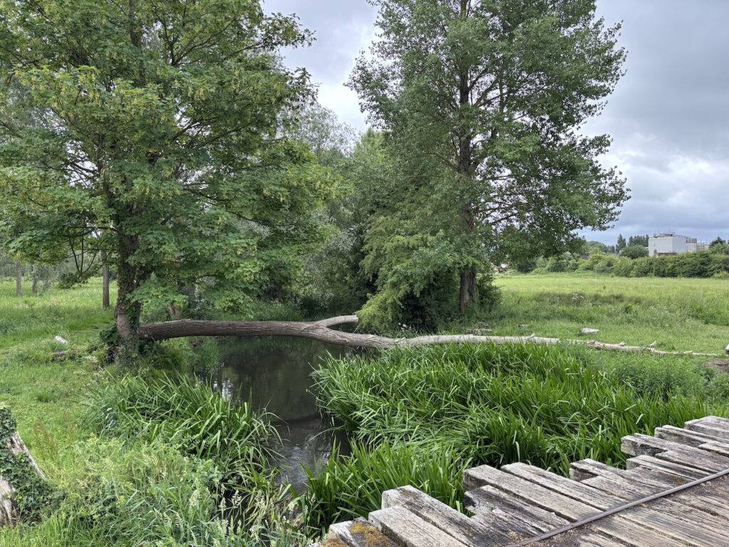
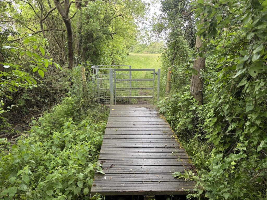
I am now on the outskirts of Ickleford and cross a river before entering the village.
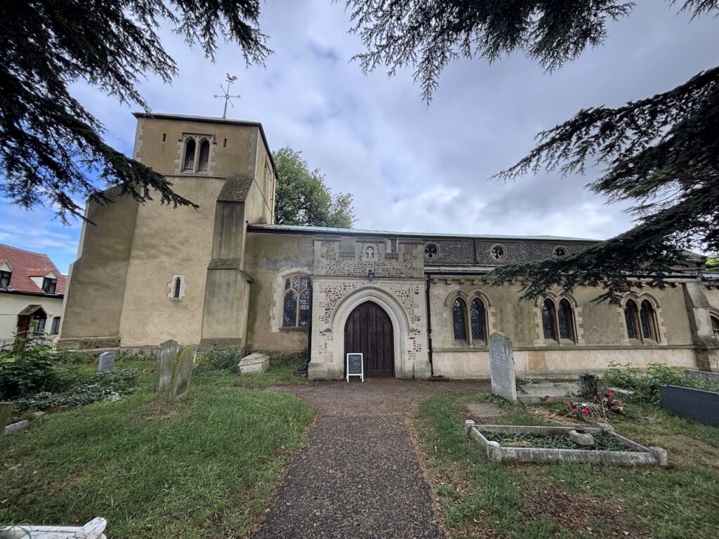
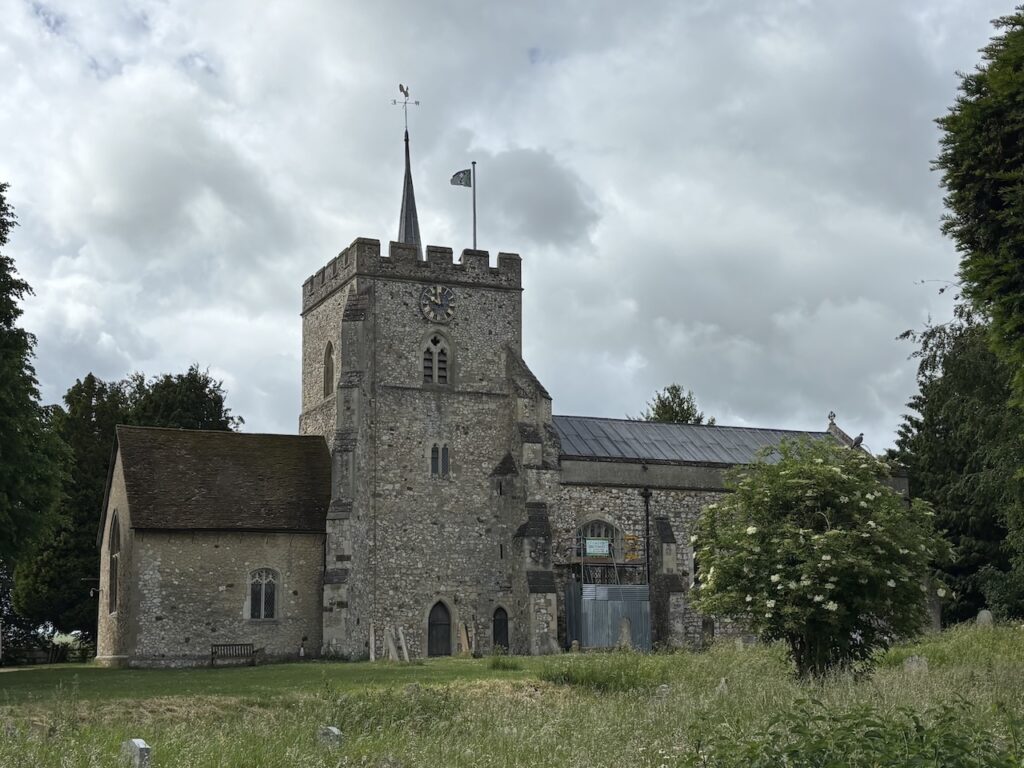
In the village I pass St Katherine’s Church, parts of the church date to the 12th century, with the tower added in the 13th century. It underwent a major restoration in 1859 overseen by Sir George Gilbert Scott.
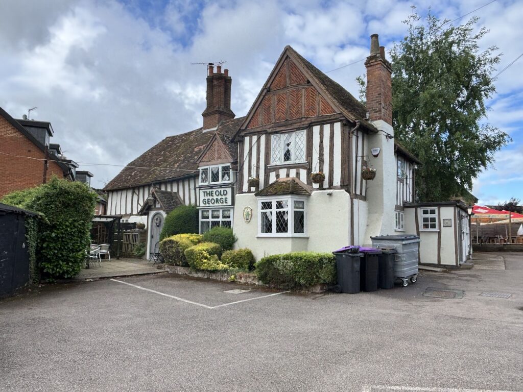
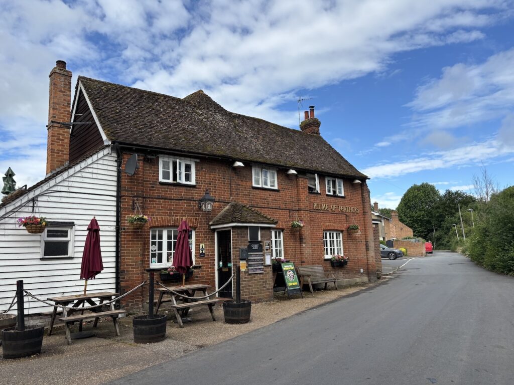
Reaching the 17th century Old George pub I turn right and follow a path beside the churchyard that leads to attractive cottages. On reaching Chambers Lane I turn left and soon pass The Plume of Feathers pub apparently this former house has been a pub since 1762.
I’ve now covered three miles and whilst it is a bit early to stop I decide make use of a bench in the village recreation ground. I know that regular breaks are necessary when I am carrying a heavy rucksack.
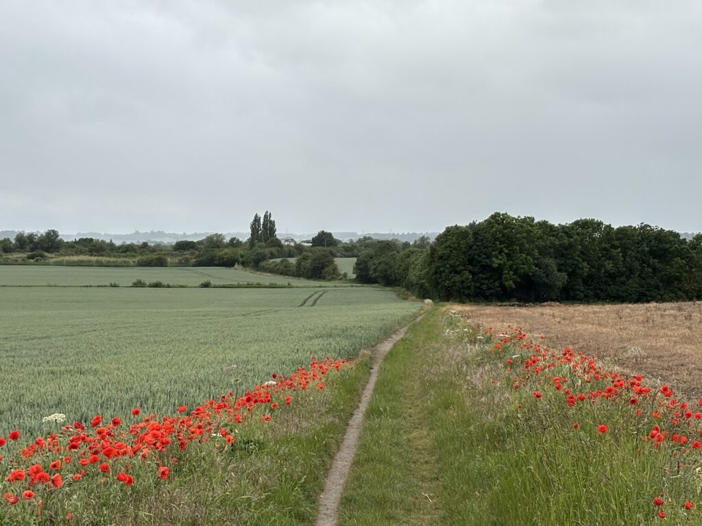
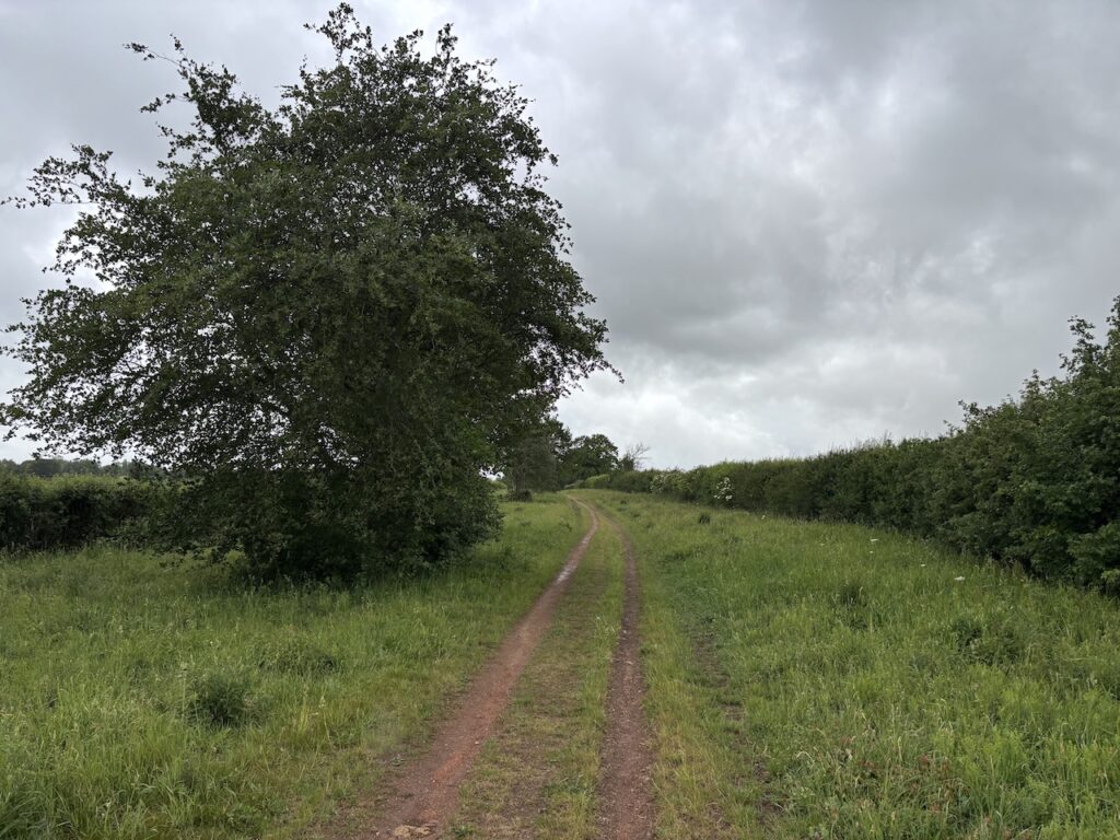
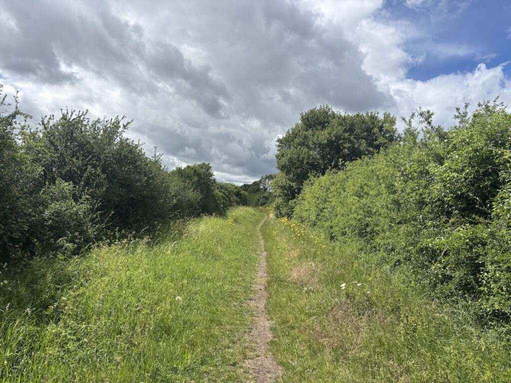
Refreshed I continue on the Icknield Way and leave the village on a path heading towards the busy A600. Having crossed the road I turn right and follow the path alongside the edge of the road, it is a bit overgrown but far safer than walking on the edge of the road. After 100 metres I turn left onto a track (Hambridge Way) to follow the Icknield Way waymarker towards Pirton.
This is a long track, initially through open fields it becomes hedge lined, after 3km I reach Pirton.
In the village I go straight over at a cross roads and pass the village pond,which has been restored to create a wildlife area. Reaching the Fox pub I turn left by the war memorial to enter the churchyard of St Mary’s, standing within the bailey of the former Toot Hill castle.
Taking a path from the churchyard I soon reach a road where I turn left and pass the Motte and Bailey pub and continue through the village to a road junction and Pirton Grange. Here I go straight across on the Icknield Way . So far it has been dry but annoyingly it starts to drizzle, not enough to get my full waterproofs on but sufficient to make me damp. Showers are forecast for today but I want to avoid wearing waterproofs unless really necessary.
The path heads steadily uphill to a field, here I go to the left to head south towards a road. At the road I turn right along it for 250 metres to reach a parking area. Leaving the road I take the Icknield Way as it heads steadily uphill.
As the path becomes steeper I reach two locked gates on the right hand side, they lead onto open access land on Deacon Hill so I hop over and follow the well worn path to the top of the hill.
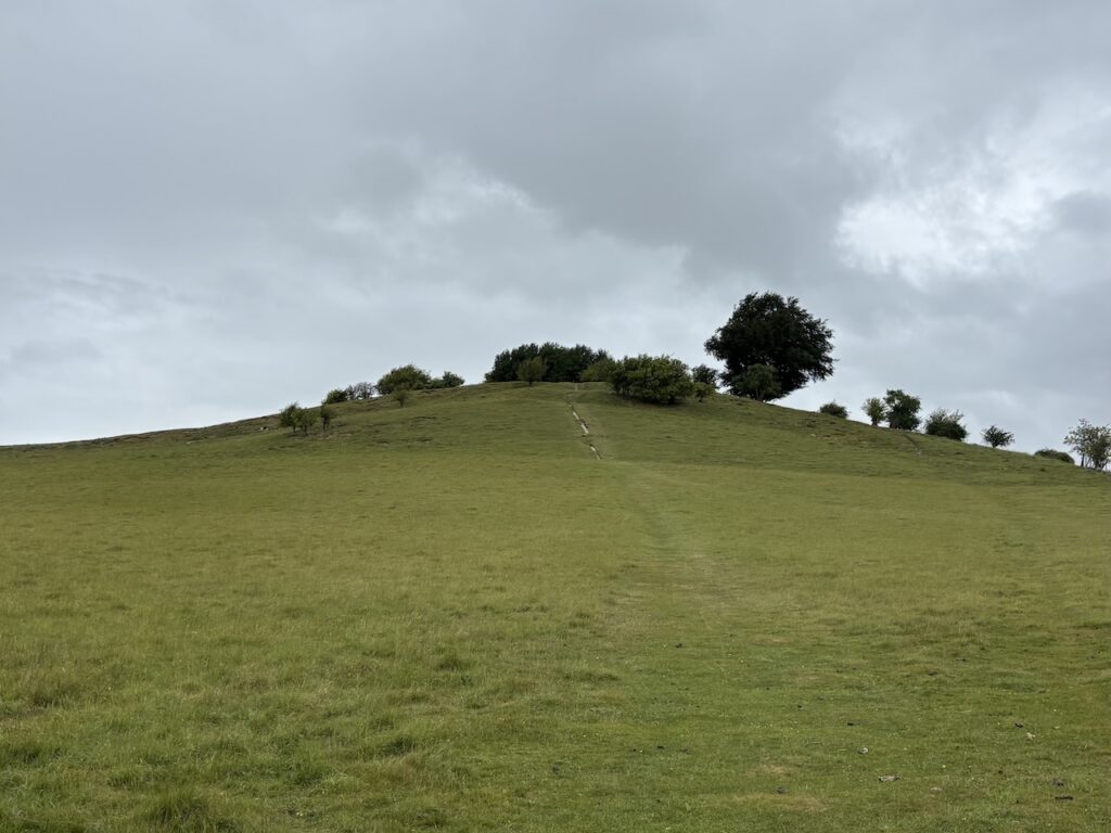
There are earthworks on the summit and the Deacon Hill Ordnance Survey Trig pillar. This is the 519th trig I have bagged.
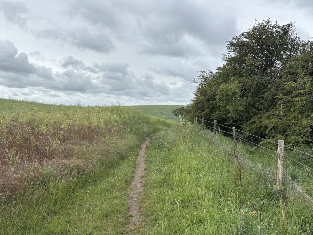
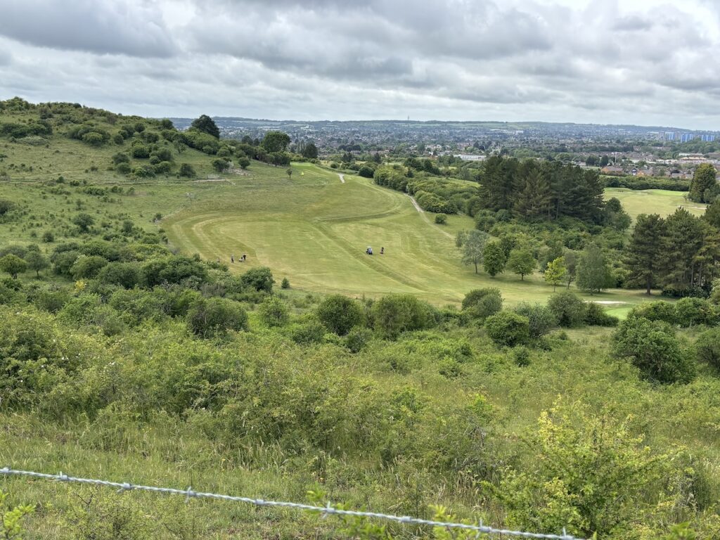
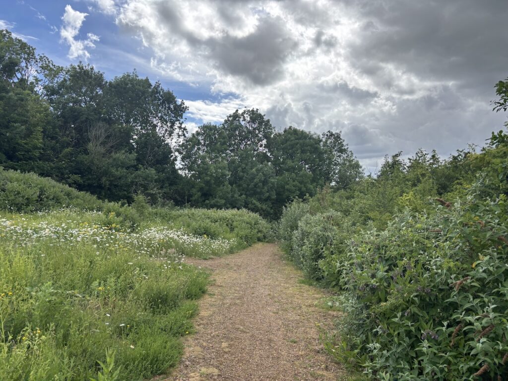
After taking in the far reaching views I retrace my steps down and hop back over the gate to rejoin the Icknield Way and continue uphill. To my right is the Pegsdon Hill and Hoo Bit Nature Reserve, unfortunately I have too far to walk today to stop and explore.
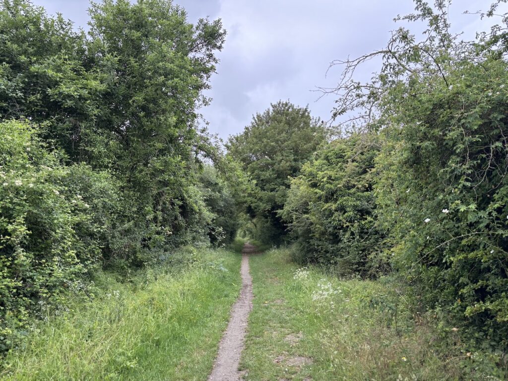
The Icknield Way then starts to descend steeply between trees before reaching a broad track leading to a minor road.
At the road I carry straight on, using the wide verge to avoid walking in the road. After 500 metres, at the entrance to Mortrove Farm, the road bends sharp to the left, but I continue straight on staying with the Icknield Way.
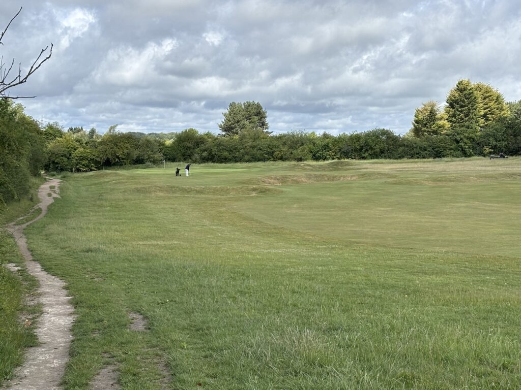
As the route passes through Maulden Firs I notice that unusually the track has been laid with a brick base. The Icknield Way turns left leaving the main track to cross part of South Bedfordshire Golf Club.
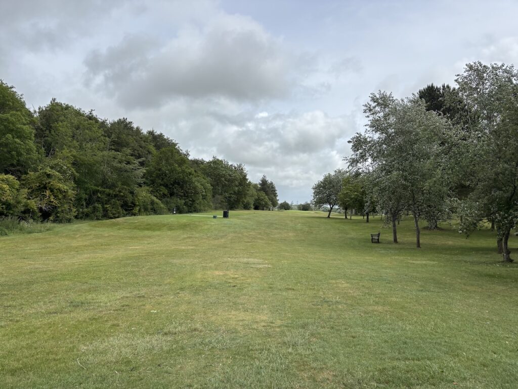
After crossing fairways I go through a gate and enter open access land on Galley Hill Nature reserve, still onthe Icknield Way I head south to go through a gate and along the edge of a field.
Down below me to the right I can see more holes of the golf course with Luton sprawled out in the distance.
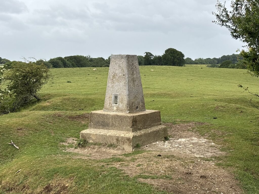
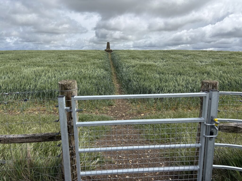
At a junction with a track I turn right, still on the Icknield Way join a track. After 200 metres I leave this track and the Icknield Way to go through a gate into Warden Hill Nature Reserve. There are a network of paths here, I follow ones close to the top edge of the nature reserve. In the distance I can see the Ordnance Survey trig pillar on Warden Hill.
My route takes me to a gate which gives access to the trig from the open access land. The trig is not on a public right of way, but the landowner has kindly made access very easy.
There are fine views from the trig which sits on top of Warden Hill
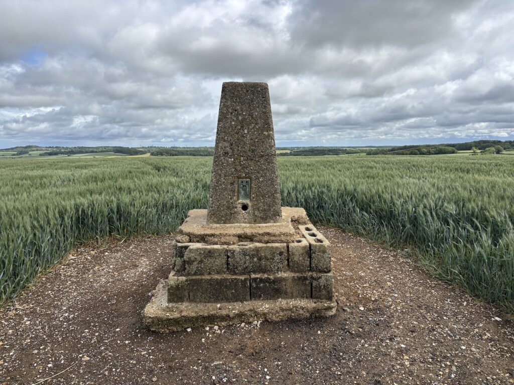
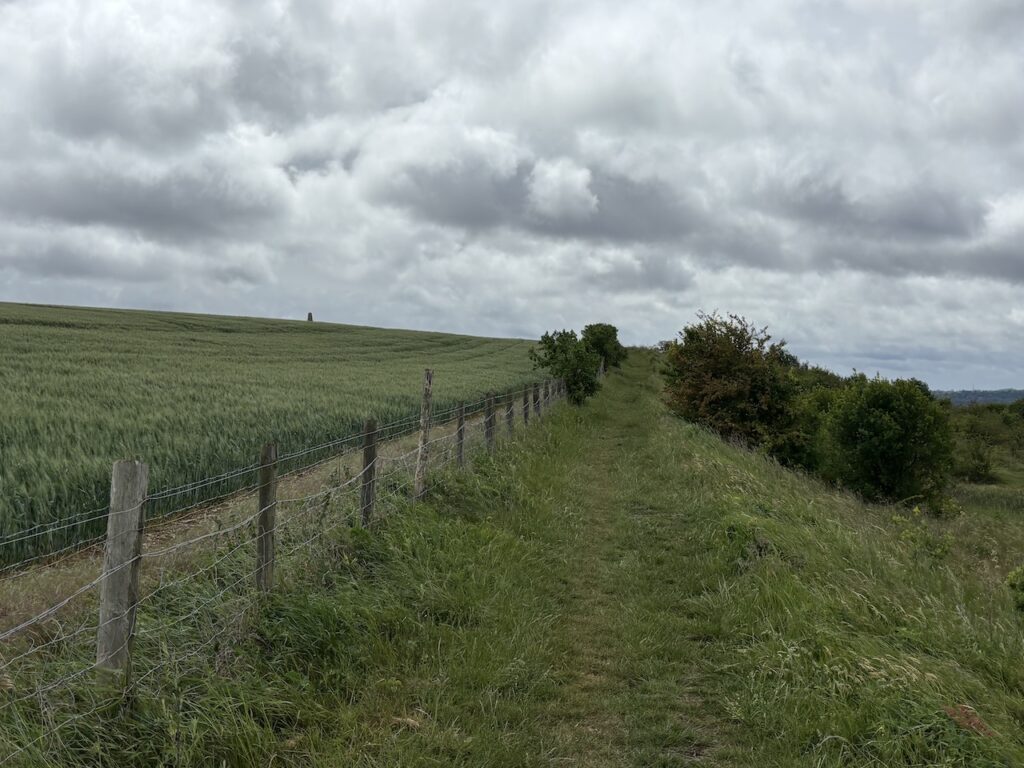
With my 520th trig bagged I return to the open access land and turn left to continue along the top of the hill. After crossing a stile I follow the fence line as it descends towards houses.
At a lane I turn right and pass a parking area and then continue on a path running beside part of the golf course.
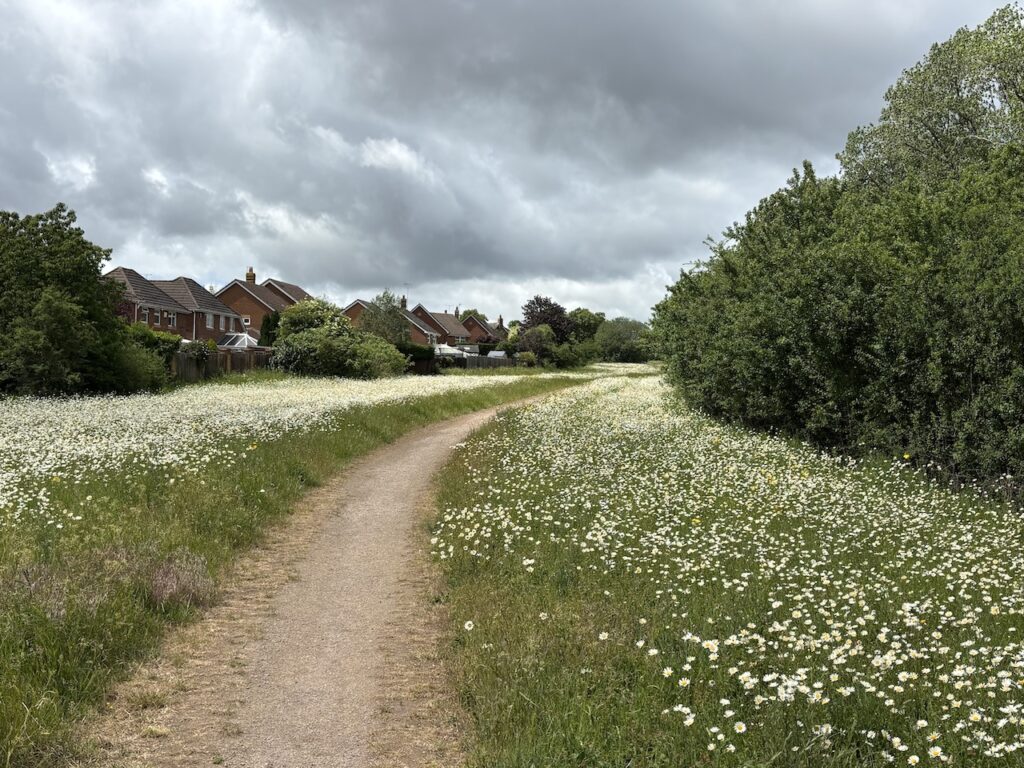
Just prior to the golf course club house I rejoin the Icknield Way by turning left at a crossing of paths. This path goes through bushes to reach the A6, which I cross with care and then continue on the far side through an area of Oxeye daisies with houses to my left.
I keep the fences of the properties to my left until I reach a tarmac path on the right. I take this and head downhill and stop for lunch on the edge of a recreation area.
Refreshed I resume my walk, on a path heading west between the back of houses and fields.
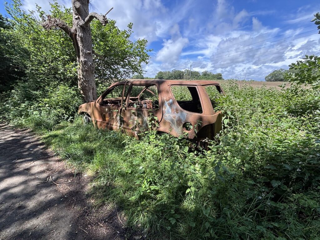
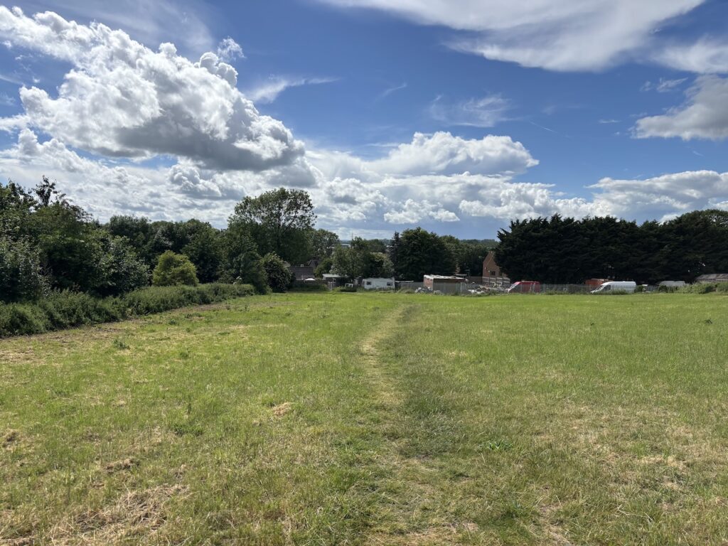
Since leaving Letchworth I have been mainly in open country side. Now there is a definite urban feel to my walk. I pass a couple of burnt out cars, one of which the local dog walkers have decided to use as a bin for their poop bags. This must be very unpleasant and unhealthy in hot weather.
On the horizon I can see a large water tower and focus on this rather than taking in the rubbish that litters the path and hedgerow.
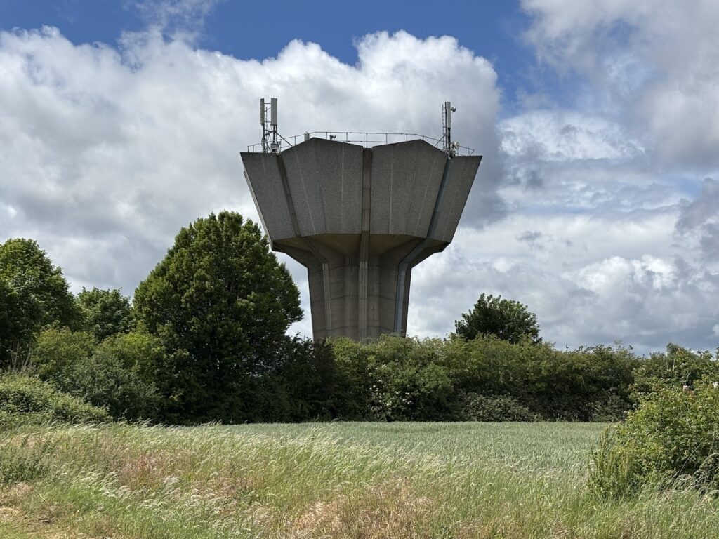
As I near the water tower, sitting besides the path by a new fence is the Ordnance Survey Marsh Farm trig pillar. It looks a bit out of place, but was obviously once located in open countryside.
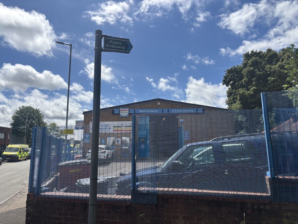
The path now descends towards a minor road. I cross and then join a road leading onto an industrial estate. I have glanced at my map and know that the path leads through this estate, but not concentrating I find myself in a yard at the back of one of the units. A chap kindly points out where I should have turned off the estate road and I retrace my steps for a few hundred yards and spot the Bridleway fingerpost.
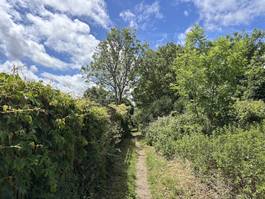
The path runs along the back of industrial units and in parts is slightly overgrown, but I am able find a way through without too much difficulty.
On reaching a busy road I turn left and cross a railway line and then at a roundabout I go straight over and cross the M1 to reach another roundabout, here I take a a tarmac path which initially runs parallel to a road and then turns right along a ridge heading towards Grove Farm.
At a junction of paths above Grove Farm I turn left and walk downhill to pass the farm buildings. My map shows this is the route of the Chiltern Way long distance path, but just after the farm there is a signpost suggesting the Chiltern Way keeps to the north of the A5. I decide to take the original route of the Chiltern Way and cross the A5 via a bridge.
It then starts to pour with rain so I rush to get my waterproofs on before I get soaked. The path runs beside a stream as it goes through fields.
Nearing a road I take a path on the left which goes alongside a rugby ground and then reaches a housing estate at Bidwell. After a short section walking on the pavement of the estate I take a footpath on the right, opposite a children’s playground. This path leads downhill across a field and then between houses to reach a road.
After crossing the road I follow a path into Blue Waters Woodland nature reserve. This was the site of a former chalk pit which was extracted for the cement industry. After quarrying was completed the site was used for landfill and then capped and trees planted in the late 1970’s.
I head uphill through the trees on the route of the Chiltern Way and then cross a road to a new housing development. There is a newly laid path with goes along the edge of a field and passes a sewage works before becoming more overgrown as it goes through bushes to reach a minor road.
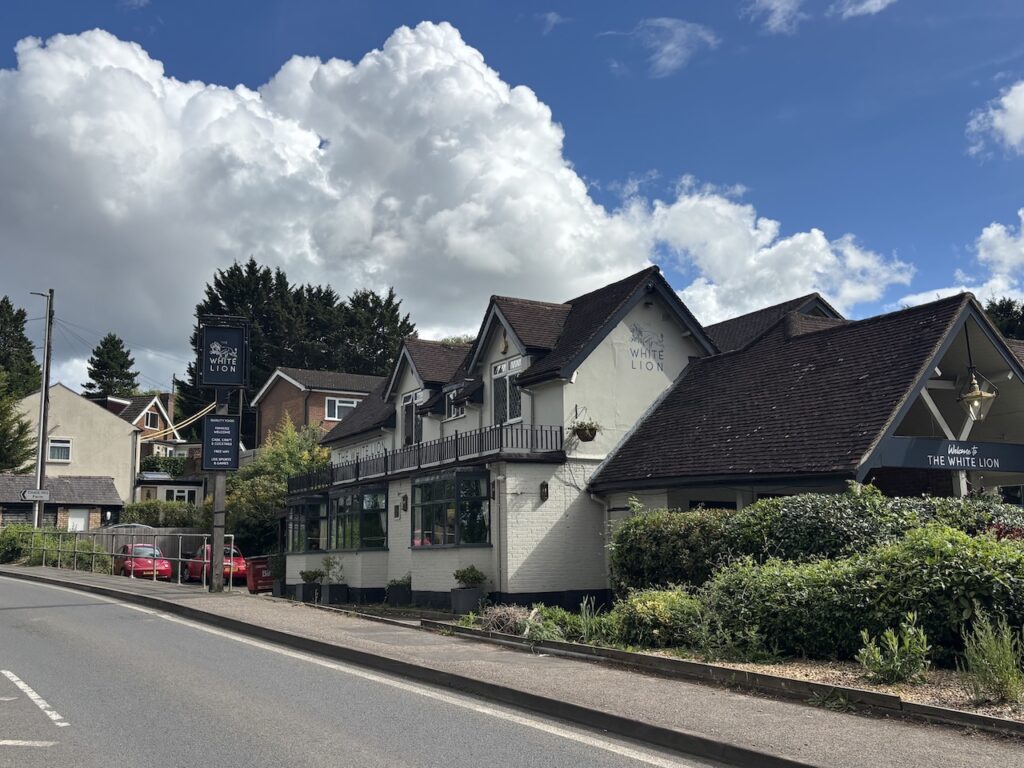
At the road I turn left and then almost immediately take some steps on my right which lead up to the A505, this road is the route of the ancient Watling Street and is the point where the Icknield Way crosses it at Chalk Hill. In the past this junction of two major routes would have been a significant location.
The Inn across the road is now called the White Lion but in the early 1900’s it was called the Green Man. According to local history in the days of stage coaches the area around Chalk Hill was notorious for highway men with some coming to a gruesome end on local gallows.
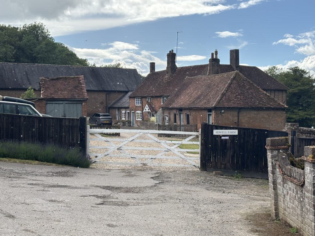
After crossing the road I turn left to pass the pub and then turn right into Sewell Lane and follow this past Manor Farm
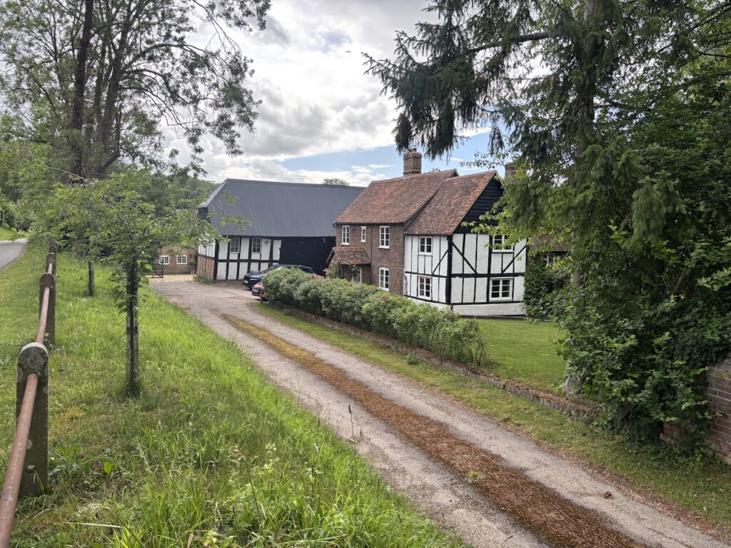
After passing Sewell Farm I go under a disused railway line.
As the path levels out I go by the iron age hillfort at Maiden Bower and then join a clear path with houses in the distance.
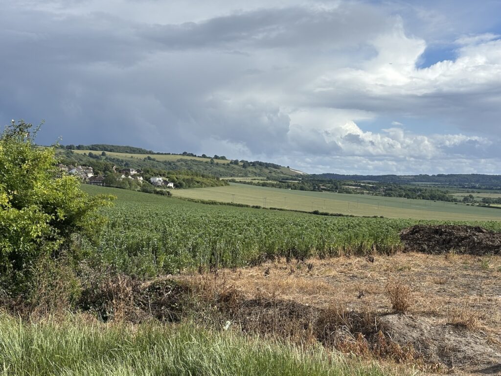
Staying with this path as it turns to the right I soon reach another junction with a track, Green Lane, here I turn left. But before doing so I take a look at the view across Dunstable Downs. I will be walking on the downs tomorrow morning.
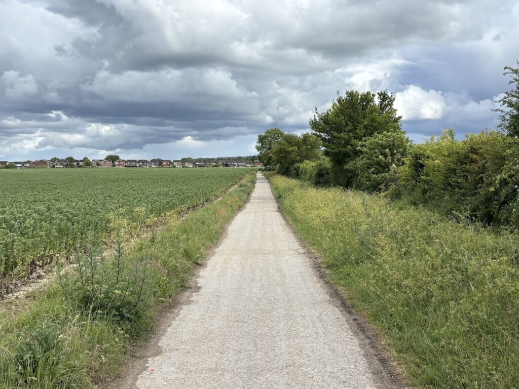
The path is now easy to follow with a housing estate to my left and open fields on my right.
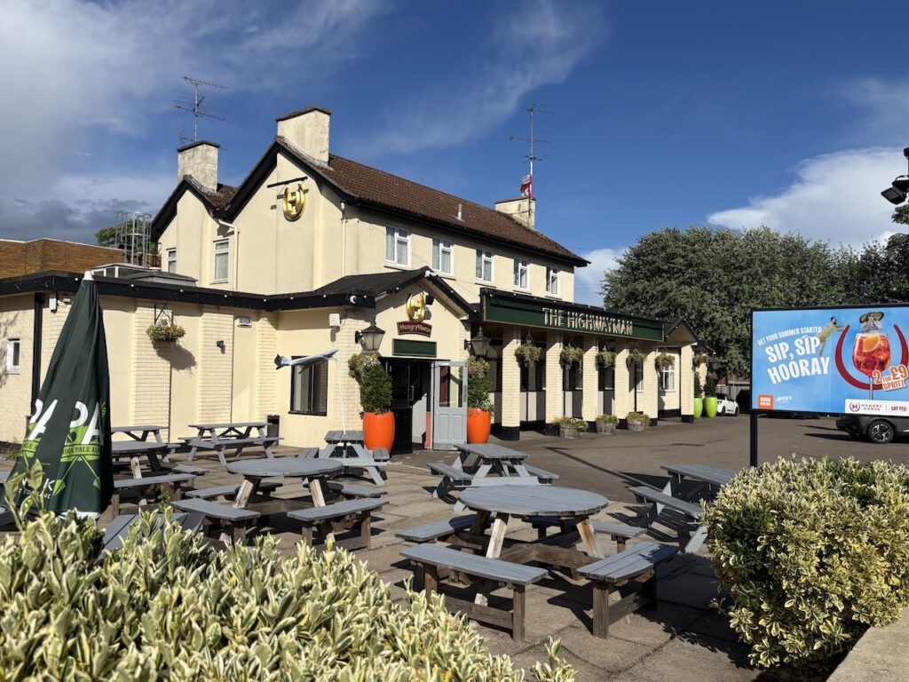
I stay with this route until I reach the B489, West Street and turn left to follow this road downhill until I reach the High Street where I turn right and follow this road for just over a mile to reach the Highwayman Inn which will be my resting spot for the night.
It has been a long, tiring day’s walk covering almost twenty five miles. The sort of distance I am usually happy walking, but I know I have a similar distance to cover tomorrow. I think an early night is in order!
To follow my walk you will need Ordnance Survey Explorer 193 – Luton & Stevenage; and Ordnance Survey Explorer 192 – Buckingham & Milton Keynes
You can view this 25 mile walk on OS Maps and download the GPX File Here
4th June 2026
© Two Dogs and an Awning (2026)
All information on this site is provided free of charge and in good faith and no liability is accepted in respect of damage, loss or injury which might result from it. To the best of my knowledge the routes are entirely on public rights of way or within areas that are open for public access.
Walking can be hazardous and is done entirely at your own risk. It is your responsibility to check your route and navigate using a map and compass.