

Rising early I am hopeful a goods night rest will have helped my knees recover, however, it is soon obvious this is not the case. Both are extremely painful and I decide the only way I can continue my walk is by getting some knee supports and stocking up on ibuprofen. So before heading off I am calling at the local Boots.
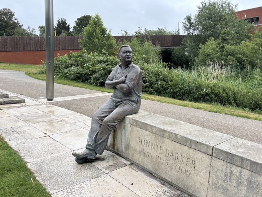
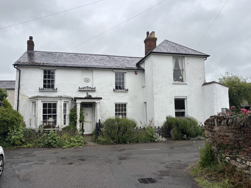
Leaving the Travelodge beside the canal I wander into the centre of town on the way passing a sculpture of the actor Ronnie Barker. Barker played so many roles on stage, screen, television and radio, my favourites being his Norman Stanley Fletcher in Porridge, only bettered by his role as the shopkeeper Arkwright in Open All Hours.
Barker was born in Bedford in 1929 and worked in a local bank before starting his acting career with the Aylesbury Repertory Company, he made his professional debut in November 1948.
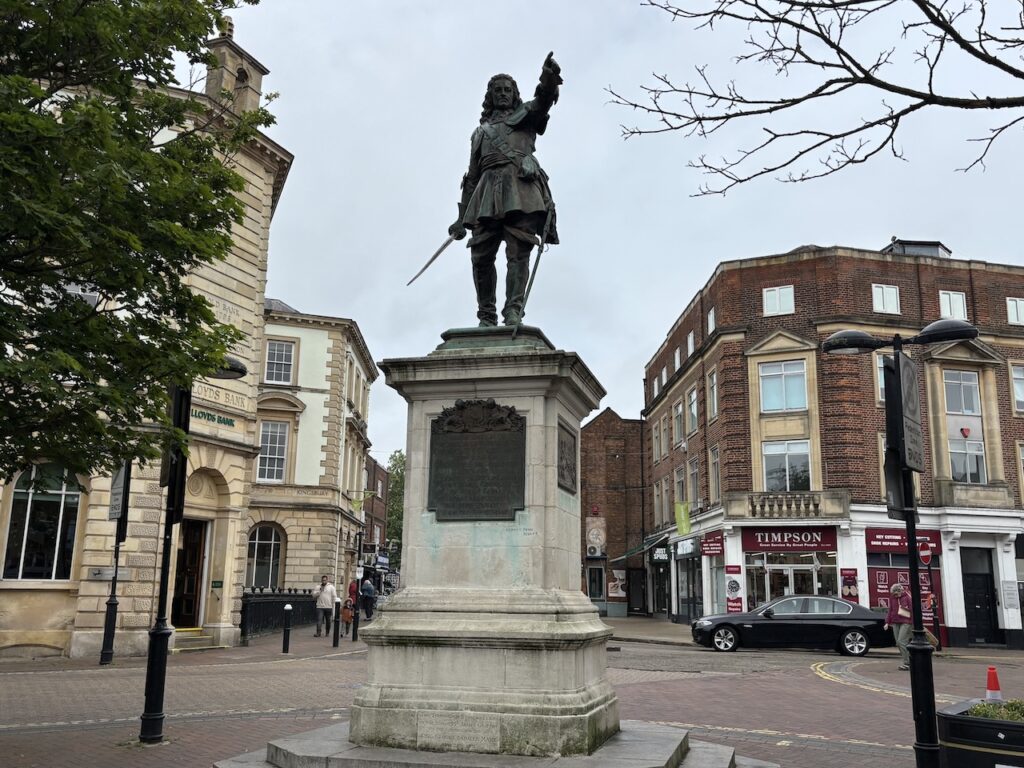
After purchasing my medical supplies I am ready to start my walk. Leaving the town centre I pass a number of statues including Benjamin Disraeli who served as Prime Minister for 279 days in 1868 and then from February 1874 to April 1880; Charles Compton the 3rd Baron of Chesham and John Hamden (1595 to 1643) he was a cousin of Oliver Cromwell and was one of the Five Members of Parliament that King Charles 1 tried to arrest in January 1642, this action led to the Civil War (1642 to 1651). Hamden was the MP for Buckinghamshire and was wounded at the Battle of Chalgrove Hill on 18th June 1643 and died six days later from his wounds.
The puppeteer and philosopher Walter Wilkinson describes in his book Vagabonds and Puppets performing under a statue of Cromwell in Aylesbury Market Square. There is no such statue, and as far as I can tell there never been. I can only assume that he was so engrossed in his performance that he mistook John Hamden for his cousin.
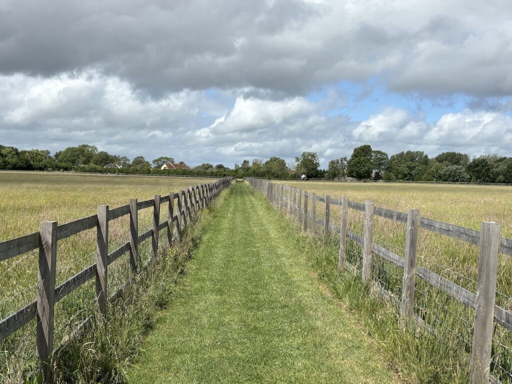
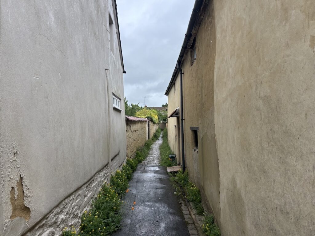
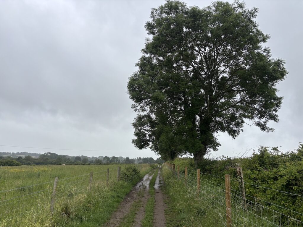
My route out of Aylesbury involves walking through residential streets, first along Walton Street, then right into Stoke Road which leads into Old Stoke Road, then right into Taylor Road to reach Church Square where I go left into Churchill Avenue before turning right into Ellen Road, then left into Anton Way and then quickly left into Tamar Close where I turn left and walk past a block of garages and join a path where I turn left.
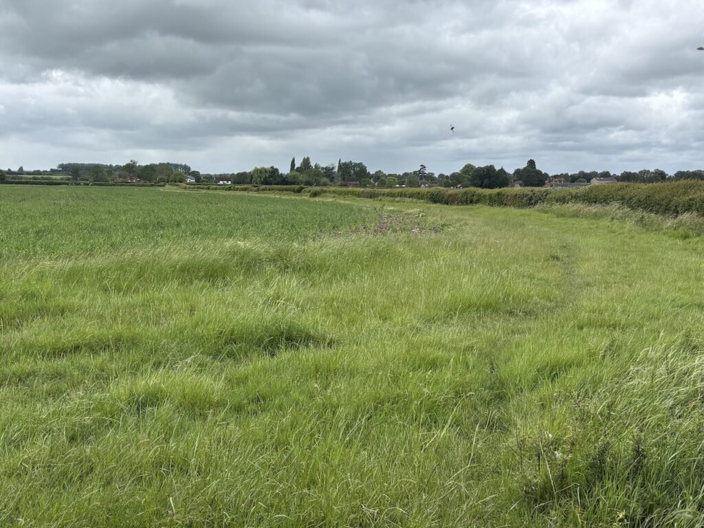
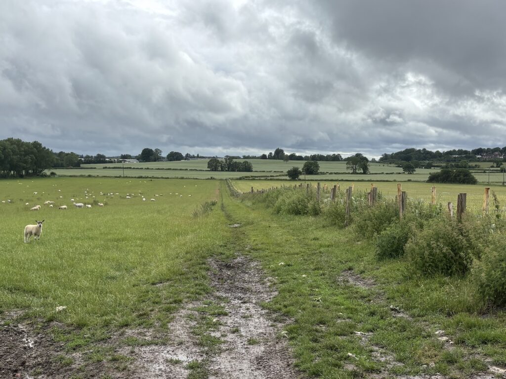
This path runs along the back of houses and beside a stream and I stay with it across the stream and then quickly turn right to walk towards Bishopstone. I have seen notices about footpaths being closed but it appears that the one I want is still open, albeit surrounded by metal fencing.
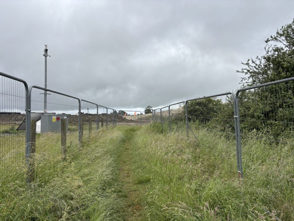
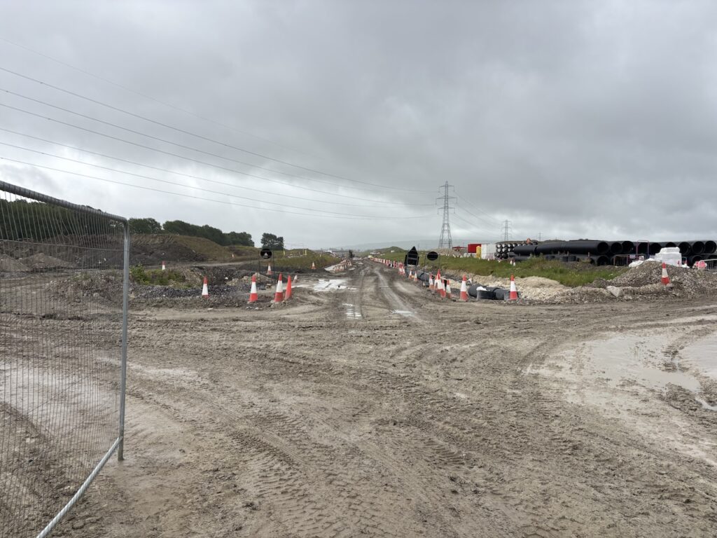
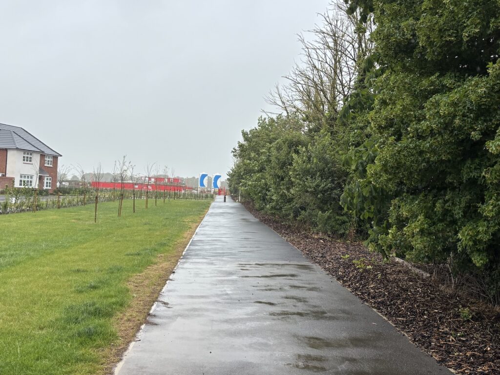
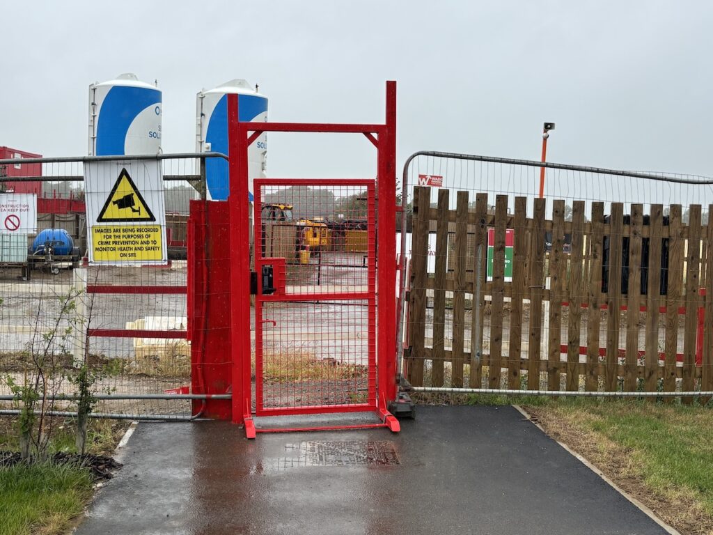
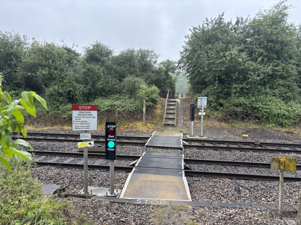
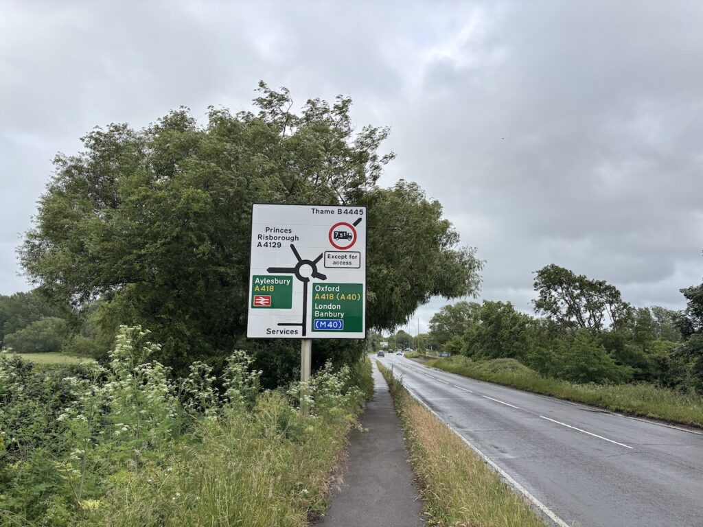
The reason soon becomes obvious, I am crossing the route of the HS2 train line as it carves its way through the Chiltern countryside.
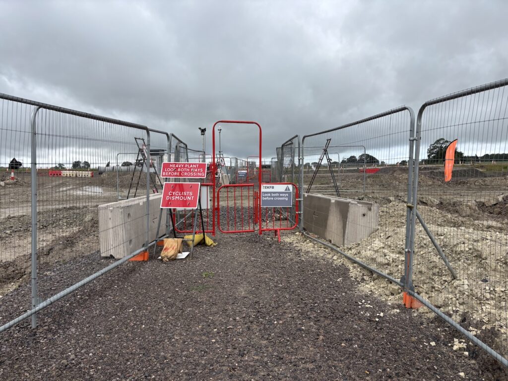
Despite all the opposition to this train line successive governments have continued to plough money into the project which will save a few minutes on the train time between Birmingham and London. To ensure the trains can operate at maximum speed the line has been designed to be as straight as possible. Subsequently ancient woodlands have been cut down and devastation caused to the countryside.
I have previously driven by some of the areas of construction but this is the first time I have walked across the route. The sheer size of the site, just to create two trains lines is incredible.
After going through the construction site I follow a path along the edge of a field and then cross a ditch on a footbridge.
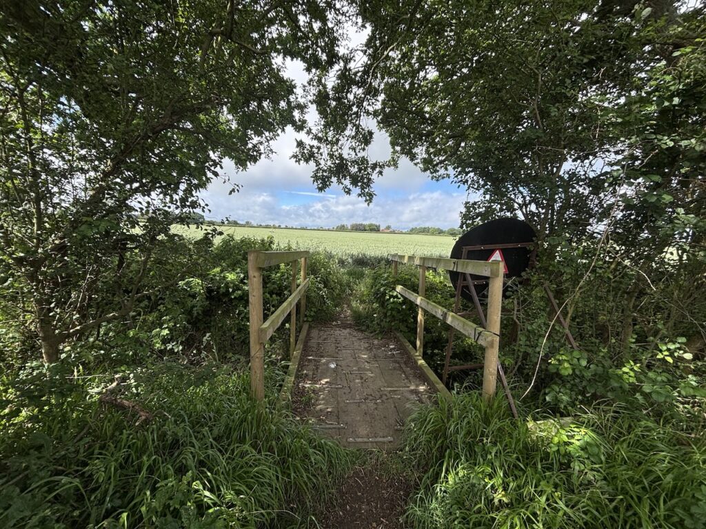
On the other side of the bridge I turn right to soon reach a track where I turn left to walk into Bishopstone.
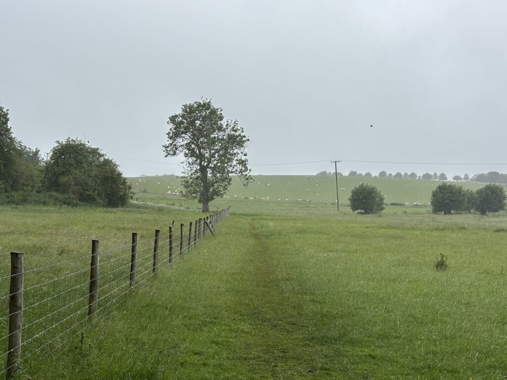
In the village I turn left along the road and opposite the war memorial I turn right into Moreton Lane and soon pass Bishopstone Farm. After going through a gate I follow a track through a field to another gate and then at a fork in the footpath I go right along the well defined path across an arable field. After 250 metres I reach a fork in the path, in the middle of the field, I go left towards woodland.
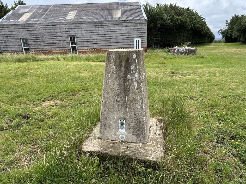
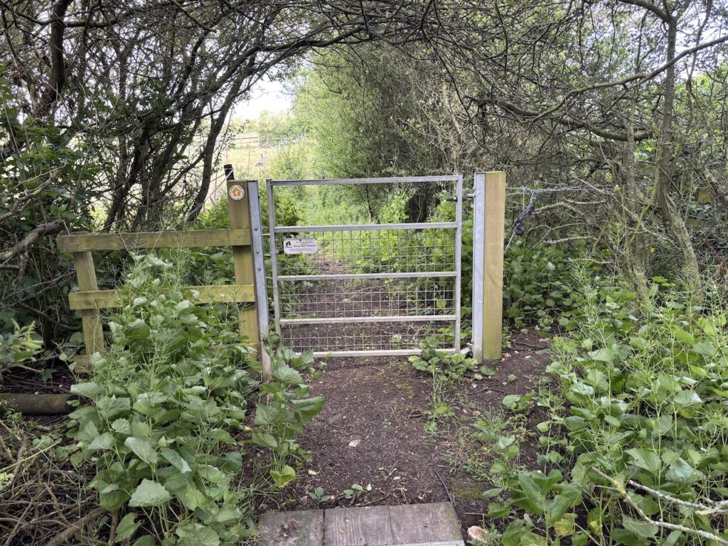
On the edge of the woods I go through a high gate to enter a fenced enclosure on the edge of the trees, the footpath goes along the south eastern edge of the woods. Midway along the enclosure I briefly divert from the path to walk along a wide ride to bag the Ordnance Survey Moreton Farm trig pillar, this is the 523rd trig I have bagged.
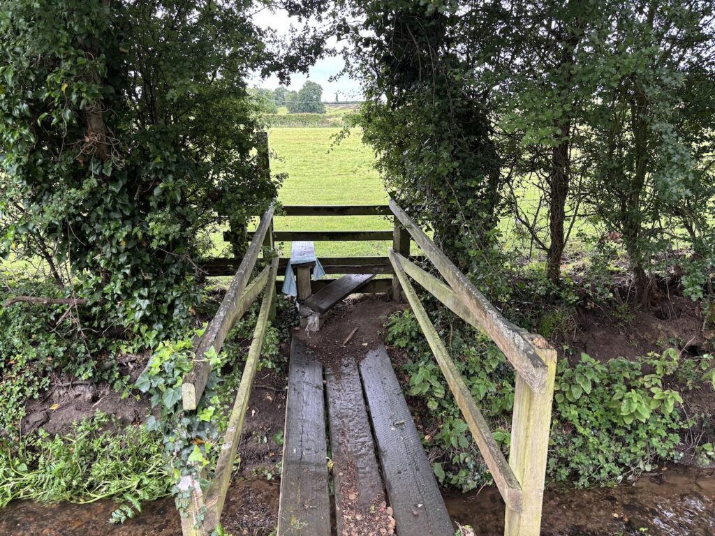
Returning to the path I continue along the edge of the woods to reach another gate in the fence. Going through I turn to the right and then follow a path through the hedge and take a footpath heading diagonally across a field leading to a footbridge over a ditch.
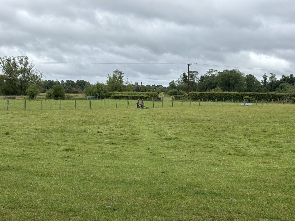
After going through a gate I pass through a series of gates passing paddocks as I head towards Ford.
On reaching houses the path continues through paddocks and gardens to reach a lane where I turn left.
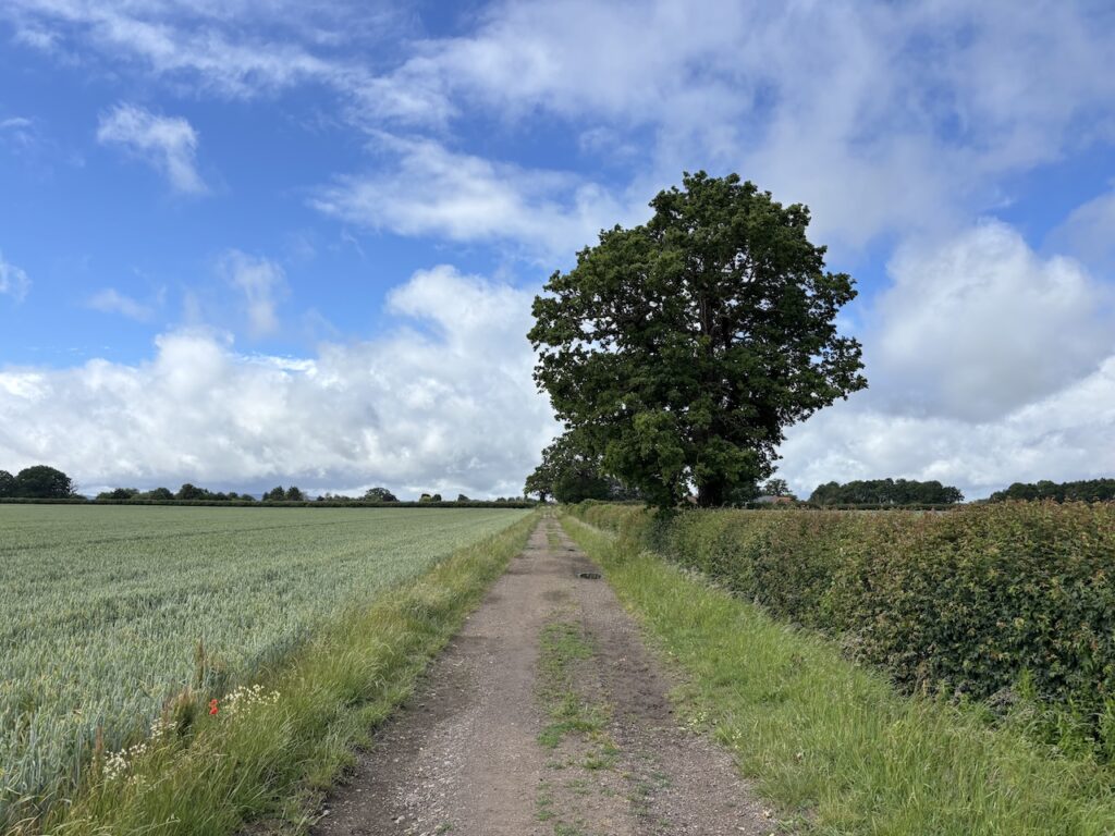
The lane passes the village pub the Dinton Hermit and then I turn left and sit on a bench by the war memorial for a short break. Resuming my walk I head along Chapel Lane and follow a path around Kemps Farm. I then head across fields towards Aston Sanford.
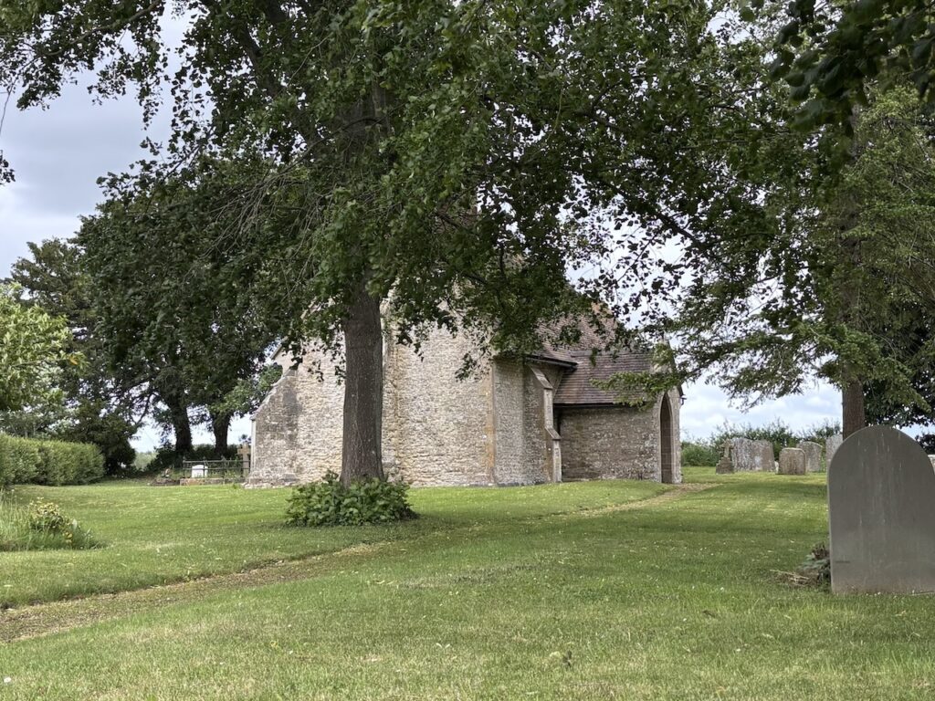
On reaching a lane I turn right and pass the St Michael and All Angels church. This small church can only seat about fifty people. It was built in the 13th century and renovation work was conducted in the 1870’s.
Next to the church is The Manor, here the lane turns to the left and leads to a B road where I turn right and walk to Stan Bridge. Turning right to cross the bridge I am now beside a busy road. I look for a footpath sign on the opposite side and can’t locate it so opt to walk a short distance down the road and then hop over a gate to my left and enter the field with the footpath in it. I can see where people have walked the path so it is a mystery why I could not find where it should have left the road.
Entering another field the path heads diagonally towards Church Farm on the edge of Haddenham.
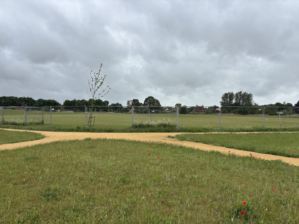
After going through a kissing gate I head towards the centre of Haddenham along the edge of a new housing development and a recreation ground which has been fenced off so is not accessible. I assume the recreation facility is part of the planning for the housing, all too often developers are quick to build properties and are then reluctant to put the same effort into fulfilling their obligations by creating the amenities for the residents.
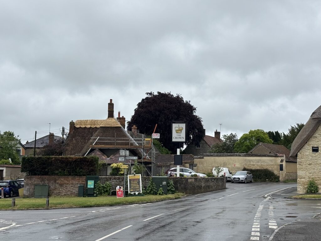
At a junction of paths I go straight on along a footpath between fences to reach Churchway where I turn right and walk towards the centre of the village. After passing the village hall I turn left into Banks Road and pass an arcade of shops.
I pass the Crown pub which is closed and undergoing renovations, it is unclear if it will reopen as a pub or be one of the growing number that are being converted into residential accommodation.
I turn into Fern Lane and pass a bakery, unfortunately it is closed, and continue along to reach the Old Brewery. This property, built in 1846, has been converted into a house.
I take a lane beside the Old Brewery and follow it through Townsend where I sit and have lunch on a bench on a green.
Resuming my walk I continue along Townsend into Rudd’s Lane and then turn left into Rosemary Lane. At a footpath on the left I leave Rudd’s Lane and pass some new houses.
The map shows my route out of the village is across open fields, however I find my way blocked by a construction site. Clearly I am going to have to find an alternative route. I can understand for safety reasons why people can’t walk through sites like this, however, I can’t see why they shouldn’t be obligated to provide an alternative route around the perimeter. My only option is to head to Churchway, the busy road leading into the village.
The only positive about walking along Churchway is there is good visibility and a wide verge so it is easy to step out of the way of oncoming cars. At the A418 Aylesbury Road at King’s Cross I had planned to turn left and walk along the road to join a footpath but it is a very fast road, so instead I cross and follow the road into Cuddington where I turn left at the crossroads.
I walk through the village until I reach a track on my left.
This track leads into a field where there are signs of cattle, but I can’t spot them. I am not usually bothered by cattle, but at this time of year inquisitive young steers are becoming large animals and a herd charging towards you does increase the heart rate.
I pass through open gates into a number of fields, still not spotting the cattle and then as I head towards a bridge over the River Thame I see them about 100 metres away to my left. Fortunately they show no interest in me.
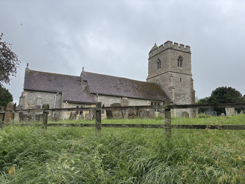
Across the bridge I follow the path into Chearsley and pass St Nicholas Church. Parts of this church date back to the 13th century with the west tower being added in the 15th century.
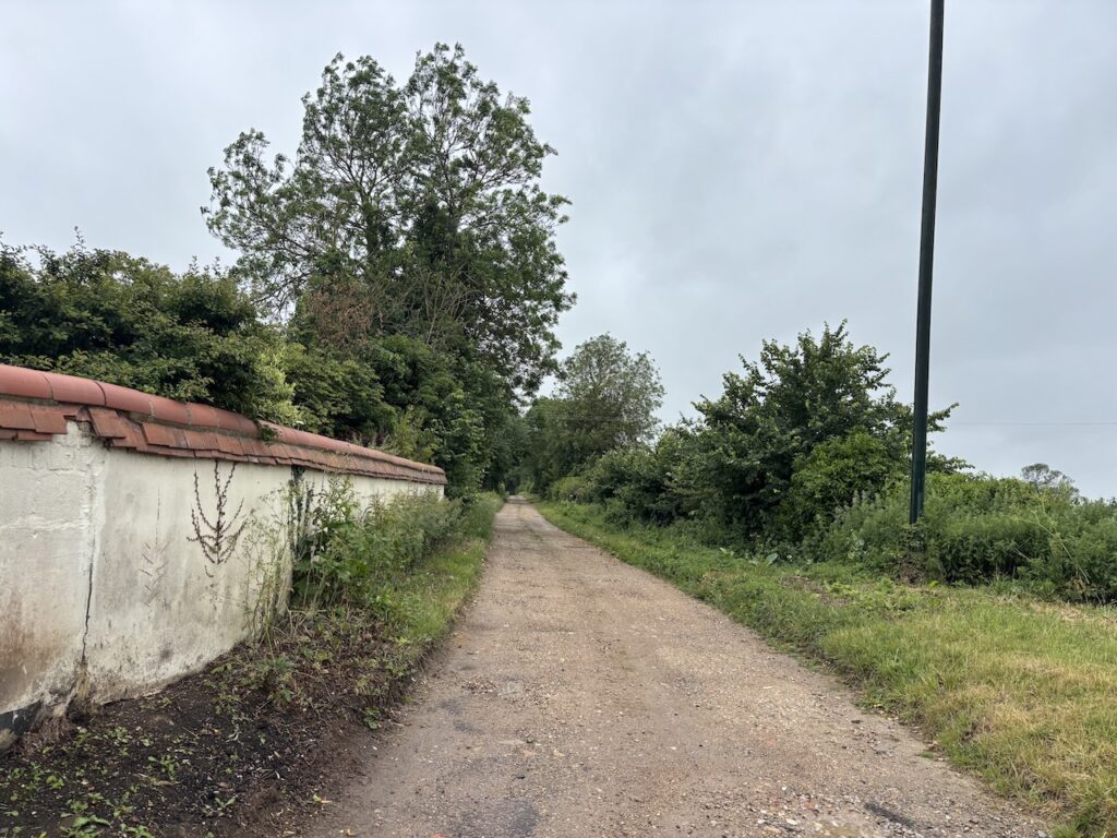
Reaching a footpath on the left I walk away from the village heading through fields to join a track.
This track leads to a main railway line which I cross with care.
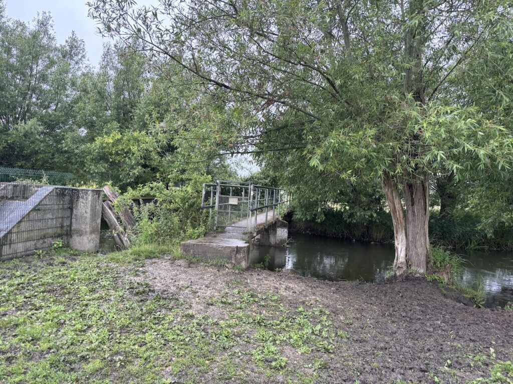
The path then leads through Long Mead Copse and crosses a stream before heading uphill towards the site of Notely Abbey.
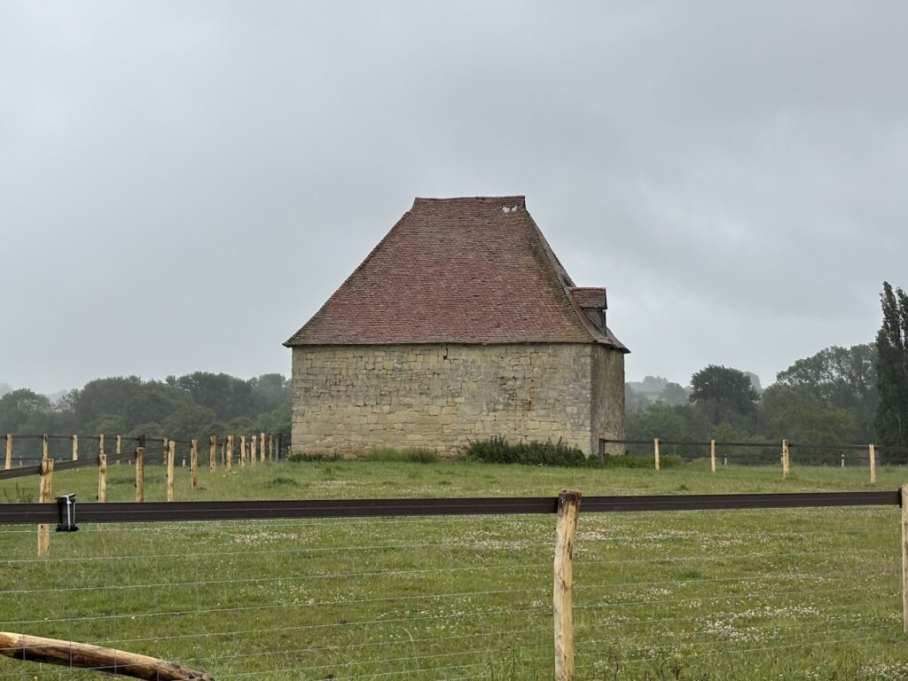
As I approach the abbey I pass the former dovecote.
This Augustine abbey was founded in the 12th century and was completed about 10 years before being dissolved by Henry VIII in 1538. The Abbots house and part of the cloisters were kept as a private house.
In 1944 the actors Laurence Olivier and Vivien Leigh purchased the house and lived there until 1960. It is now a venue for weddings. There is an event going on today so I respect their privacy and avoid the path that leads in front of the abbey so miss the opportunity to take a picture of the fine building.
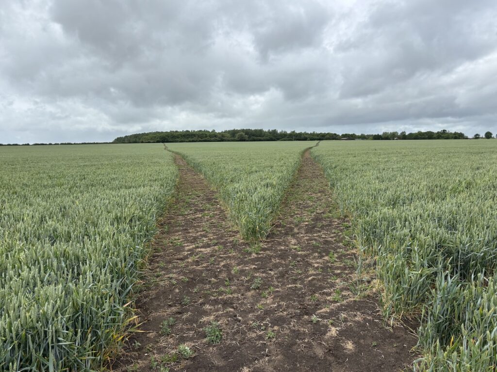
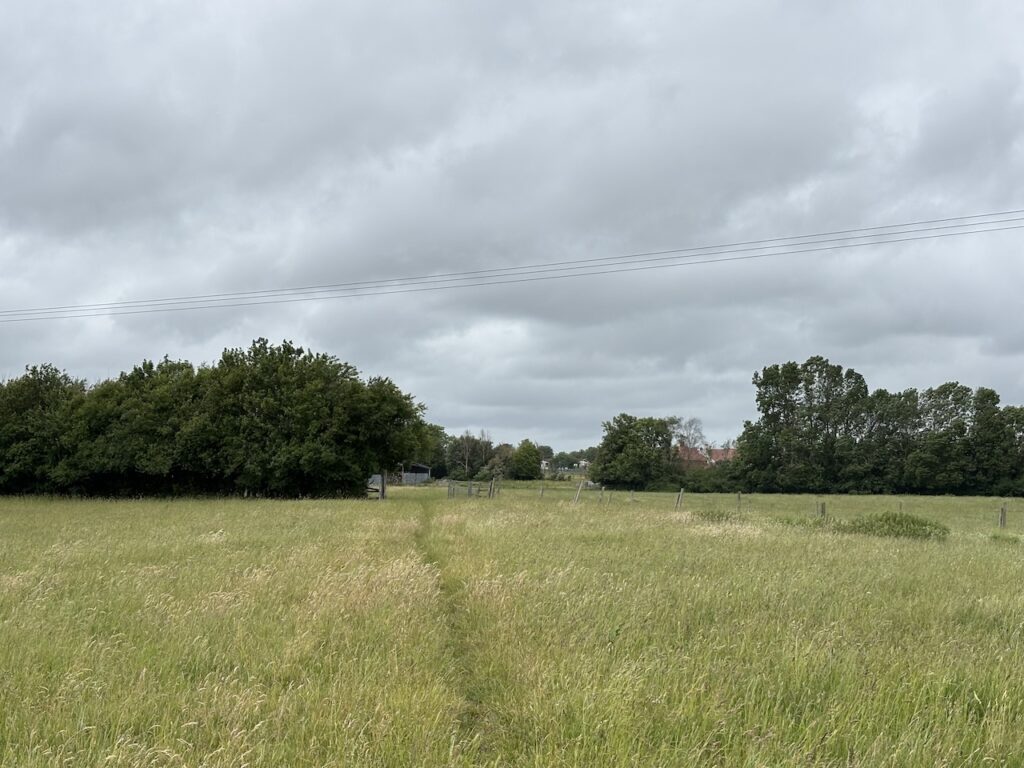
My route continues straight on past some barns and then heads out along the edge of a field.
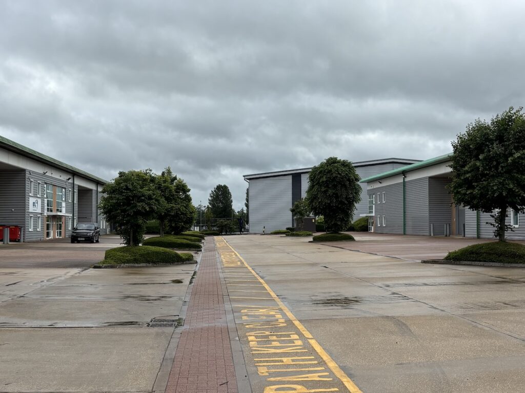
At a junction of paths I keep straight on along the edge of a field and then at another junction of paths beside a hedge I turn left and walk towards an industrial park following the clearly marked path.
Leaving the industrial park I take a footbridge over a stream and cross a stile into a field. My knees have been niggling all day, but crossing the stile is very painful.
Unfortunately I now encounter a series of stiles as I go through fields towards a main road.
The final stile is particularly high so very challenging. Turning left I walk along the pavement beside the road and soon pass a golf centre and then as I near a roundabout I turn into service area where there is a Travelodge which will be my accommodation for tonight.
At just over sixteen and a half miles today’s walk has been shorter than the previous two. But the combined distance is having an impact on my knees. Once again I hope that a good rest will make them feel better in the morning.
To follow my walk you will need Ordnance Survey Explorer 193 – Luton & Stevenage; and Ordnance Survey Explorer 192 – Buckingham & Milton Keynes
You can view this 16.5 mile walk on OS Maps and download the GPX File Here
6th June 2026
© Two Dogs and an Awning (2026)
All information on this site is provided free of charge and in good faith and no liability is accepted in respect of damage, loss or injury which might result from it. To the best of my knowledge the routes are entirely on public rights of way or within areas that are open for public access.
Walking can be hazardous and is done entirely at your own risk. It is your responsibility to check your route and navigate using a map and compass.