

After finishing my walk yesterday I wandered towards the centre of Dunstable and along the way I found a suitable pub for a couple of pints and nearby there was a Thai restaurant that had reasonable reviews. It is one of the challenges of walking solo that you are always eating alone. For years I travelled with work, so sitting at a table on my own is not unusual, however sharing the experience with others always enhances a drink or a meal.
After a hearty cooked breakfast I set off from the Highwayman to rejoin the Icknield Way at the point I left it yesterday close to the edge of Dunstable Downs. Yesterday I walked down West Street and then up the High Street. But this involves going downhill to go back uphilll, instead I take a route through a residential area, passing schools with parents dropping their offspring at some very strange locations which I am sure breaches the Highway Code.
Eventually I find myself on West Street and turn left to walk uphill to reach the point where I left the Icknield Way yesterday afternoon. After crossing Whipsnade Road I turn left and head steadily uphill in the company of a few morning dog walkers.
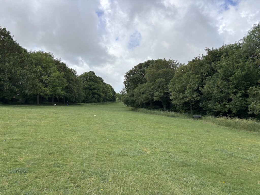
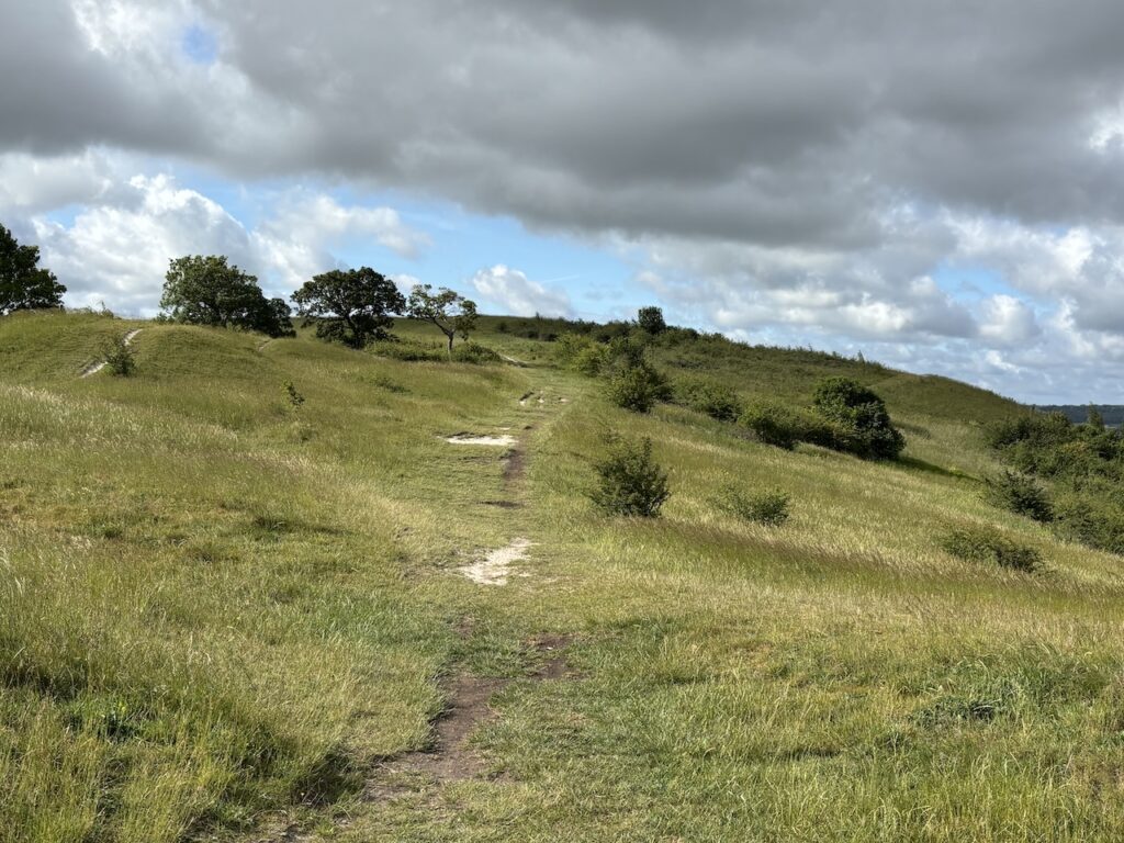
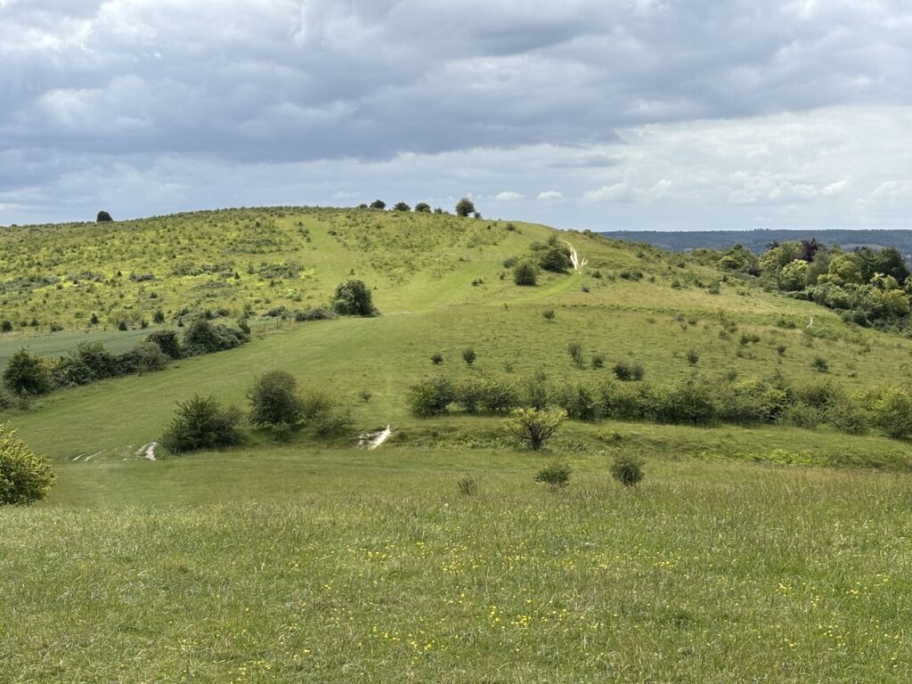
It is a fine morning, the forecast predicts a shower or two during the day, but hopefully I can avoid putting my waterproofs on. After a steep section the path takes me up Five Knolls.
Reaching the edge of the escarpment I get a fine view of Dunstable Downs and my walking route for the first part of the day.
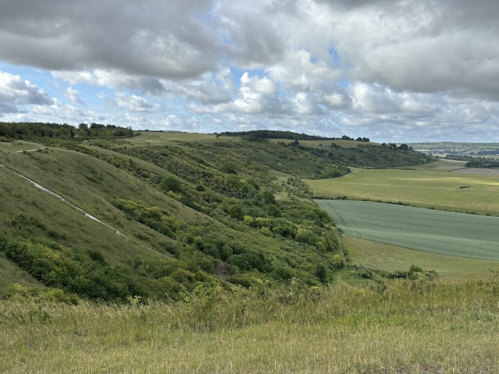
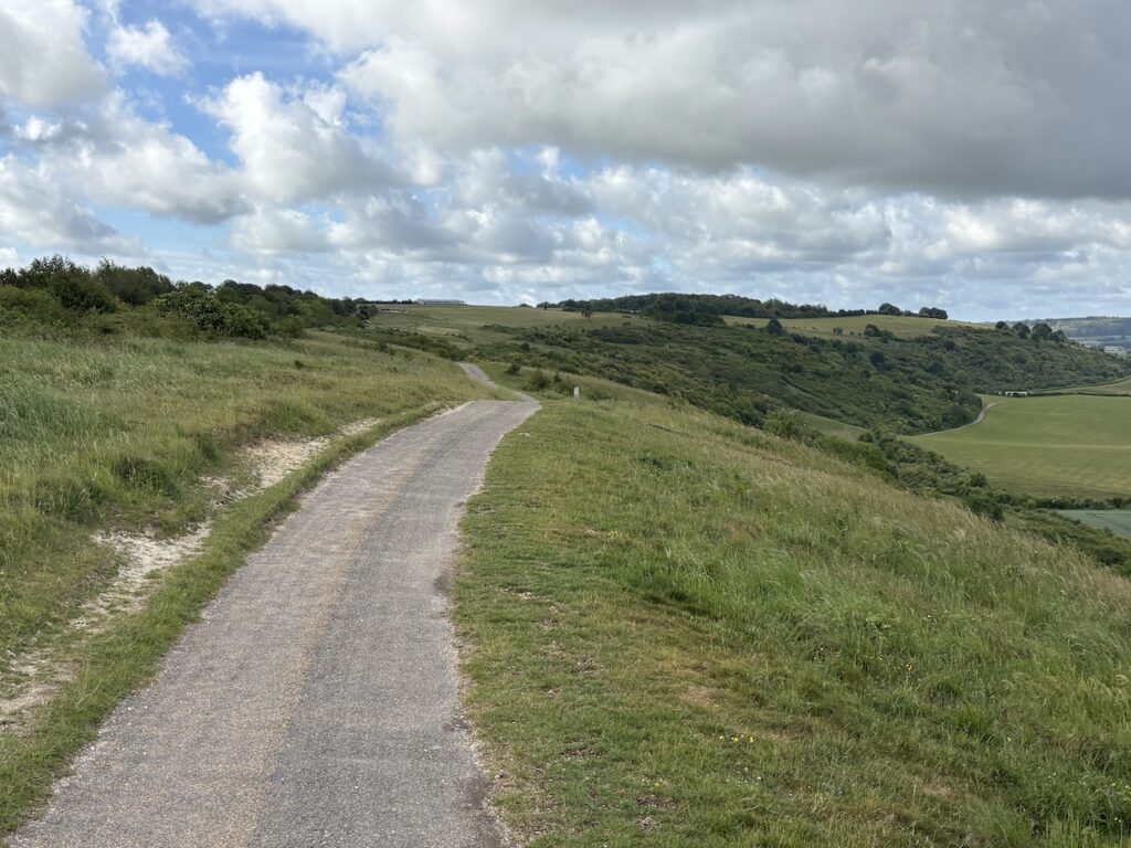
On joining a tarmac path I continue along the edge of the escarpment. This firm ground is easy going which is welcome because my knees are very sore from yesterday’s walk.
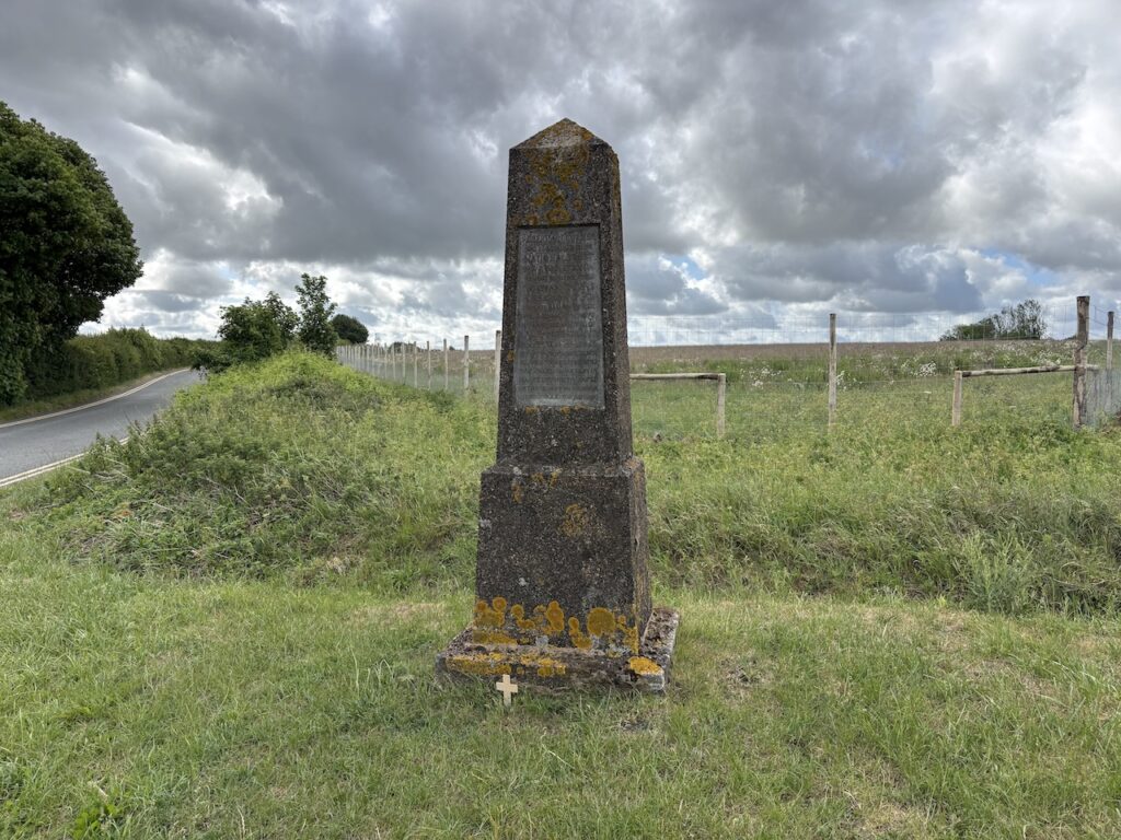
After passing a parking area I wander across to the Roberston Memorial which sits at the junction of Whipsnade Road and Isle of Wight Road. In 1937 William Robertson left a bequest to the National Trust to acquire property within reasonable access of London as a memorial to his two younger brothers who died in WWI. Norman Cairns Robertson died on 20th June 1917 at Hanover Germany, and Laurence Grant Robertson was killed on 30th July 1916 during the battle of the Somme in France. The bequest enabled the purchase of about 33.5 hectares.
From the memorial I walk towards the National Trust’s Dunstable Downs centre.
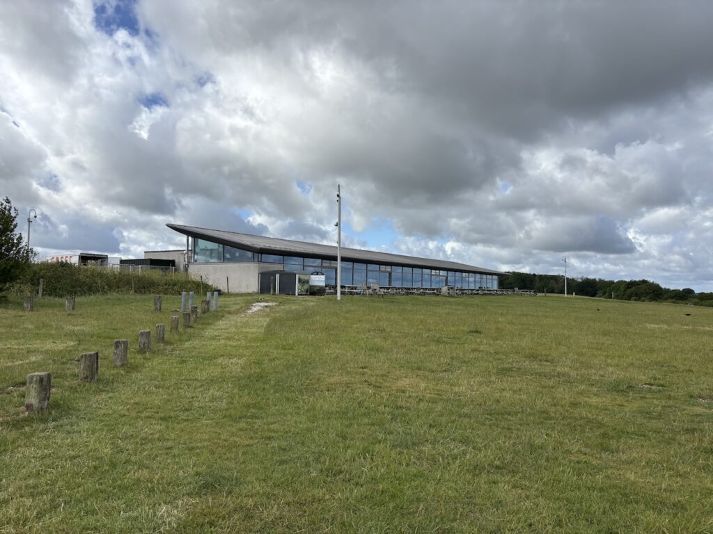
The centre is closed, which is okay because I wasn’t planning to visit.The reason for walking over to the centre is to bag the OS trig that sits near the entrance gateway. This is the 522nd trig I have bagged.
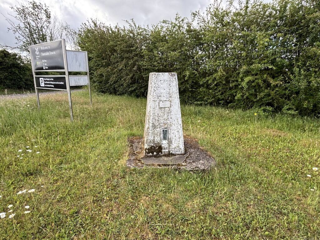
From the trig I head back across the downs to rejoin the Icknield Way.
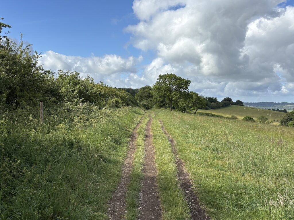
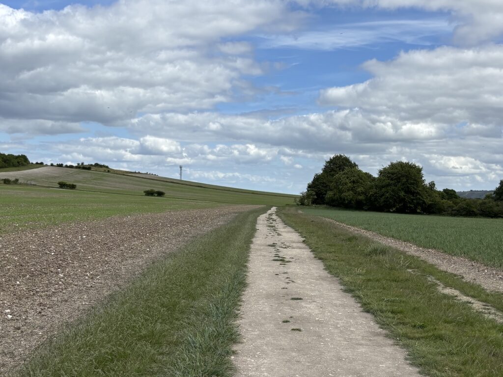
After going through a gate I continue on the Icknield Way and then after another gate I turn left and head uphill following the way markers. My route follows a track which leads away from the downs.
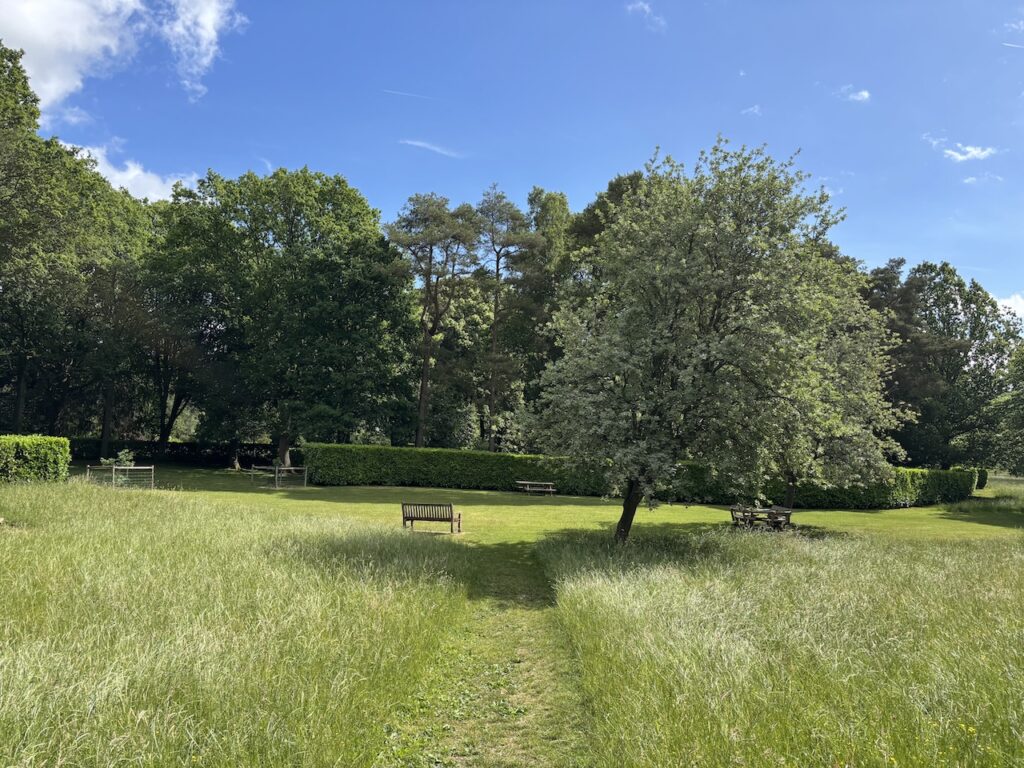
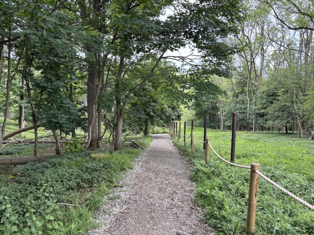
After 550 metres on the track I reach some properties and take a footpath on the left which leads to Dell Fields, the National Trust own this land and are in the process of rewilding the area.
After leaving the field I reach a seating area on the edge of the Whipsnade Tree Cathedral. This is a special presentation of 18 different types of tree species in the form of a medieval cathedral. It was first created by Edmund Blyth in memory of his friends who passed away in WWI.
After going through the car park to the Tree Cathedral I reach a road where I turn left and cross a green to reach a track.
Turning left along the track, Studham Lane, I am still on the Icknield Way with the fence of Whipsnade Zoo to the right.
At a junction of tracks I turn right to stay on the Icknield Way.
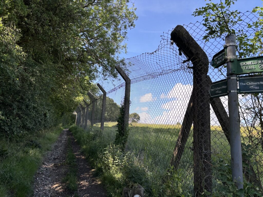
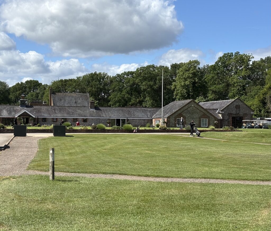
After 500 metres I reach a junction of tracks and turn right to stay on the Icknield Way, still with the fence of the zoo on my right. The path continues around the edge of the zoo and then reaches the edge of Whipsnade Park Golf Club. The path heads across a couple of fairways.
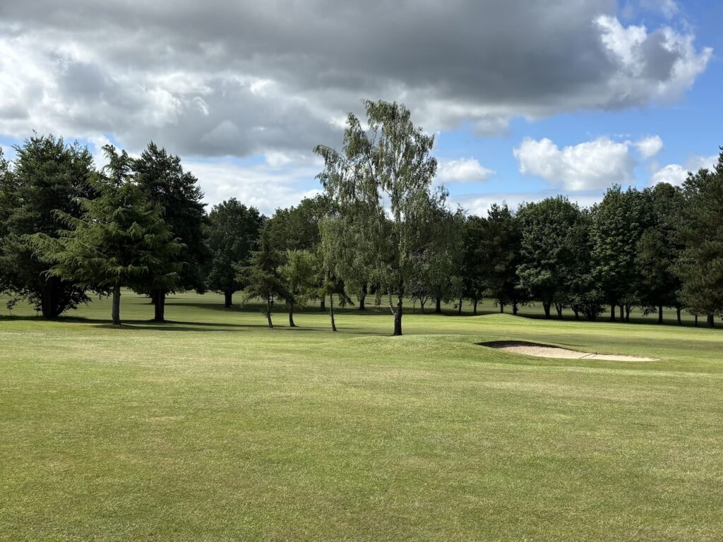
The golf course was built in 1972 on land that was formerly Dagnall Hill Farm. The path turns right and goes along the edge of a couple of holes and then goes in front of the club house before continuing into woodland and descending towards a minor road.
Reaching the road I turn right and walk along the road for 100 metres and then go left to stay on the Icknield Way. The waymarker indicates it is three and a half miles to Ivinghoe Beacon.
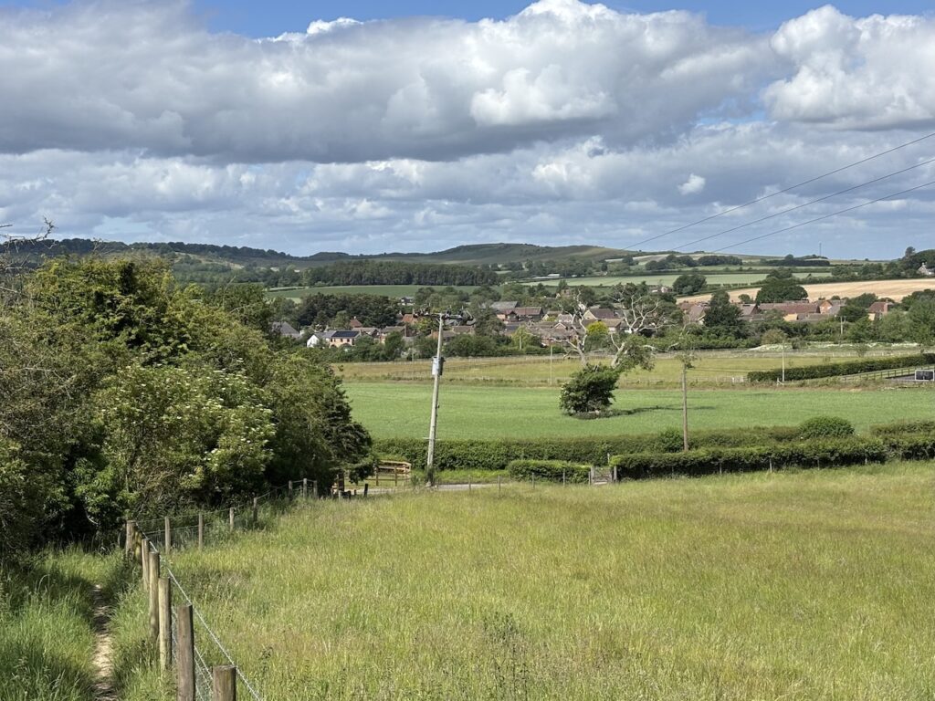
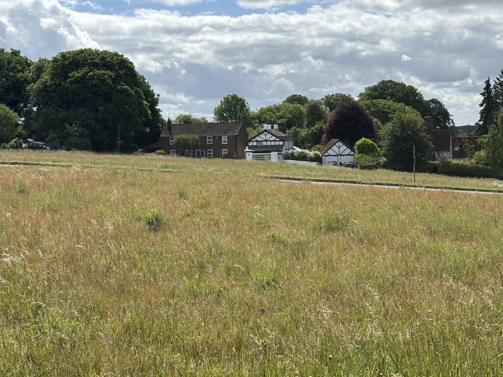
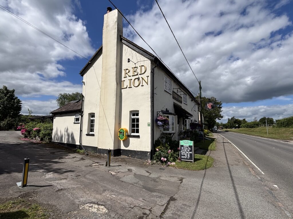
The path leads along the edge of fields to enter Dagnall by passing the village school. At the road I turn right and walk through the village. At a roundabout I go straight over and pass the Red Lion pub
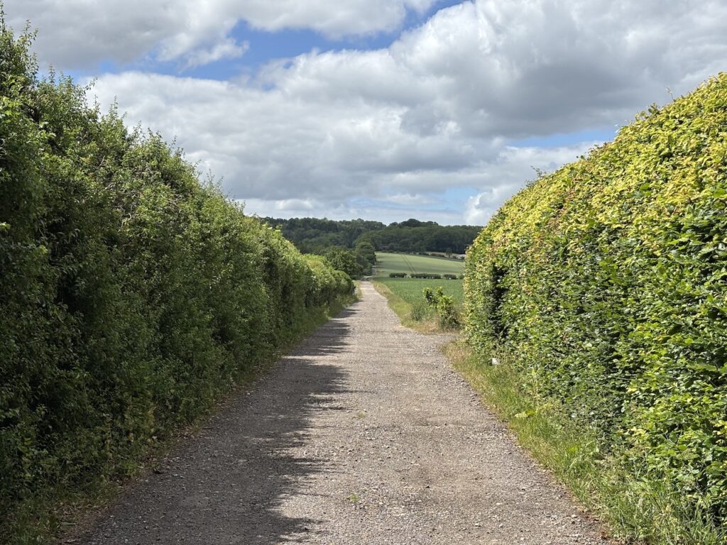
After a short section on a grass verge I reach Hog Hall Lane where I turn left and walk along this track leading to Hog Hall.
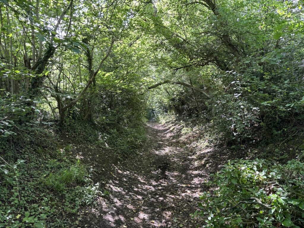
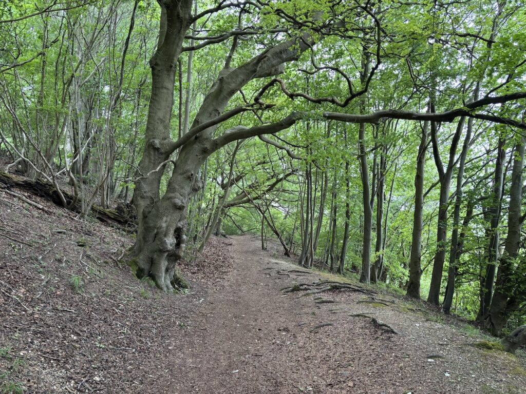
After passing the entrance to Hog Hall I follow the Icknield way as it goes to the left of the property and then continues into a field heading uphill to Ward’s Hurst Farm. There are a number of paths leading from the farmyard. I take the one waymarked for the Icknield Way, this goes through a field and then enters woodland and descends steeply on steps.
Following the well worn path through the woods I reach a gate and then take a path to my right, I am briefly leaving the Icknield Way to head to Ivinghoe Beacon via Gallows Hill.
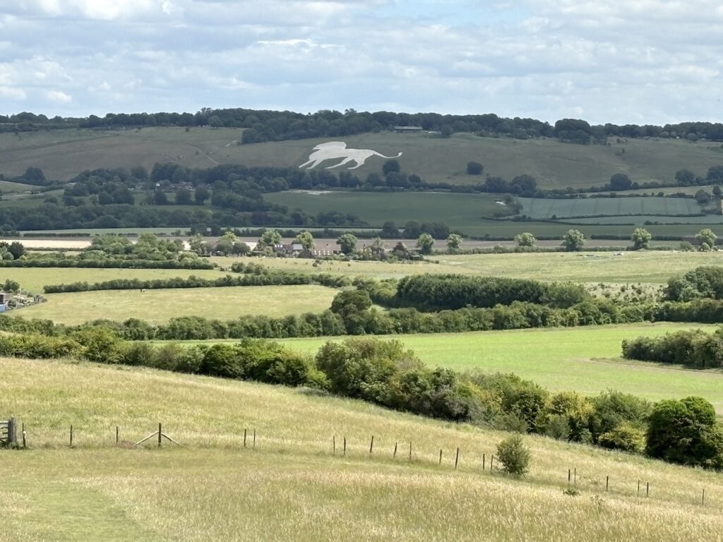
On reaching a junction of tracks I turn left and go through a gate and then head up onto Gallows Hill. There is a fine view of the Whipsnade White Lion from here. This chalk figure was first carved into the hillside under Whipsnade Zoo in 1933 and it is 147metres long from nose to tail.
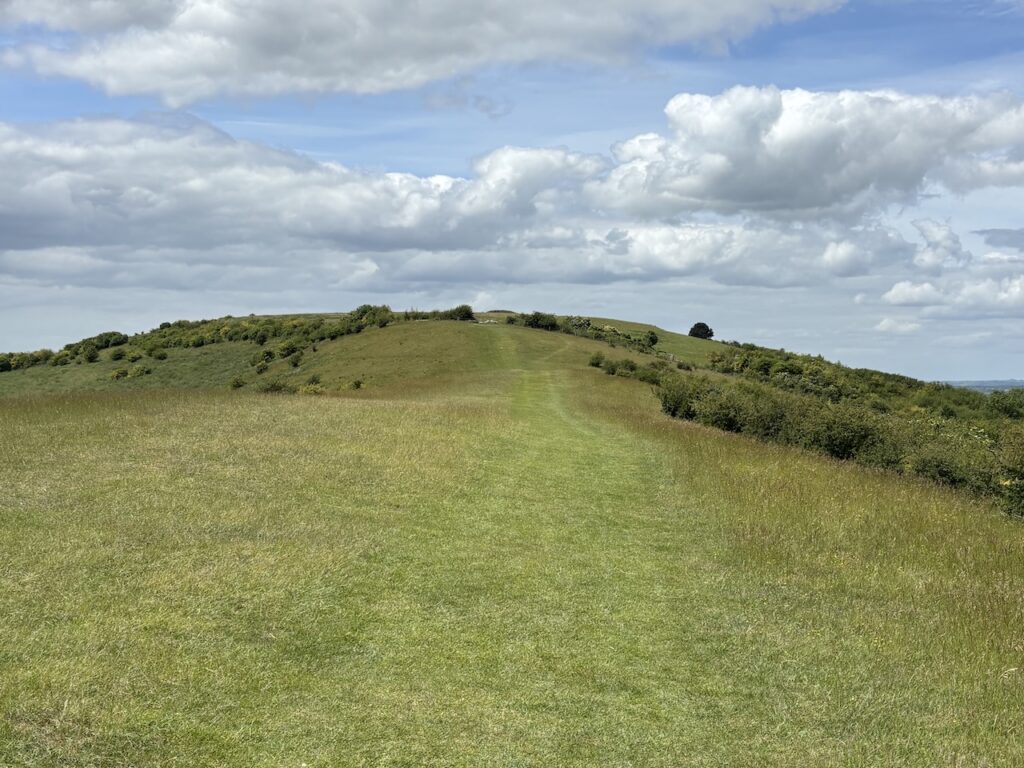
Turning away from the lion I take the long steady walk uphill towards the summit of Beacon Hill.
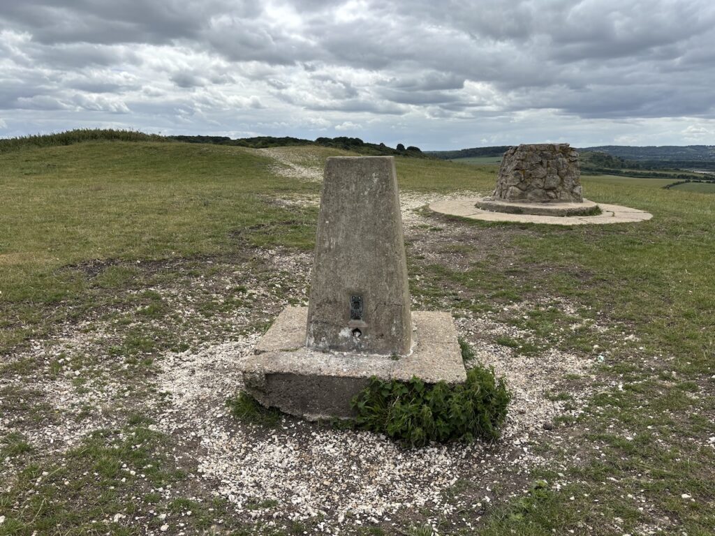
It’s a warm day but on reaching the trig point at the top of Beacon Hill there is a chilly wind blowing. I had initially intended to stop here for lunch but instead decide to walk a bit further to find a sheltered spot. I have visited this trig a couple of times previously so its not one to add to my “bagged” list.
Turning south I follow the well worn path. This is now the route of both the Icknield Way and the Ridgeway. The Ridgeway starts here and heads towards Avebury in Wiltshire, over the next few days I will be following sections of it but at times deviating off and then rejoining it further along.
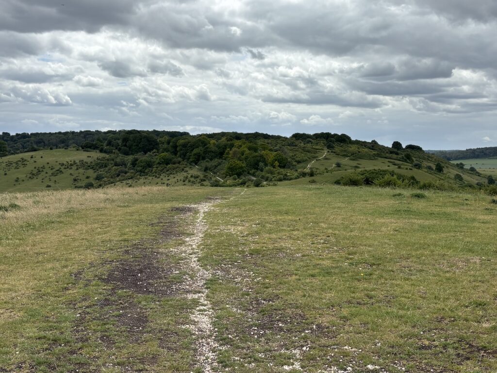
After crossing a road I follow the National Trail way markers which lead to the edge of Incombe Hole, a steep inlet in the hillside. Here I sit on a bench sheltered from the wind and enjoy the view whilst eating my lunch.

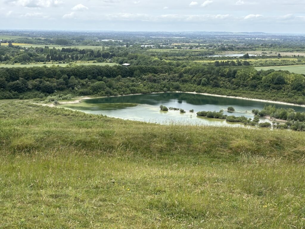
RechargedI head steadily downhill and cross a road and go through a parking area and then continue across the open access land heading for Pitstone Hill.
This is a lovely area to walk, I have been here a number of times before so it is familiar, down to my right are the large pools created from chalk quarries.
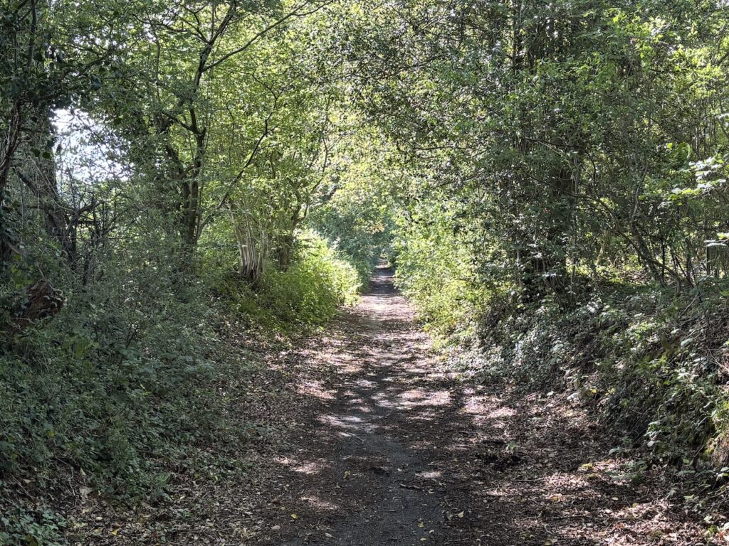
The clearly marked path now heads into attractive woods.
At a junction of a number of paths I take care to follow the way markers for the Ridgeway, despite having walked here previously I know this is a confusing junction with paths leading off in all directions.
The waymarkers take me along a tree lined path with fields to my left and then at a junction I turn right and head down to a gate by a road. After crossing the road I turn right on a permissive path which runs parallel to the road and leads into Tring Station.
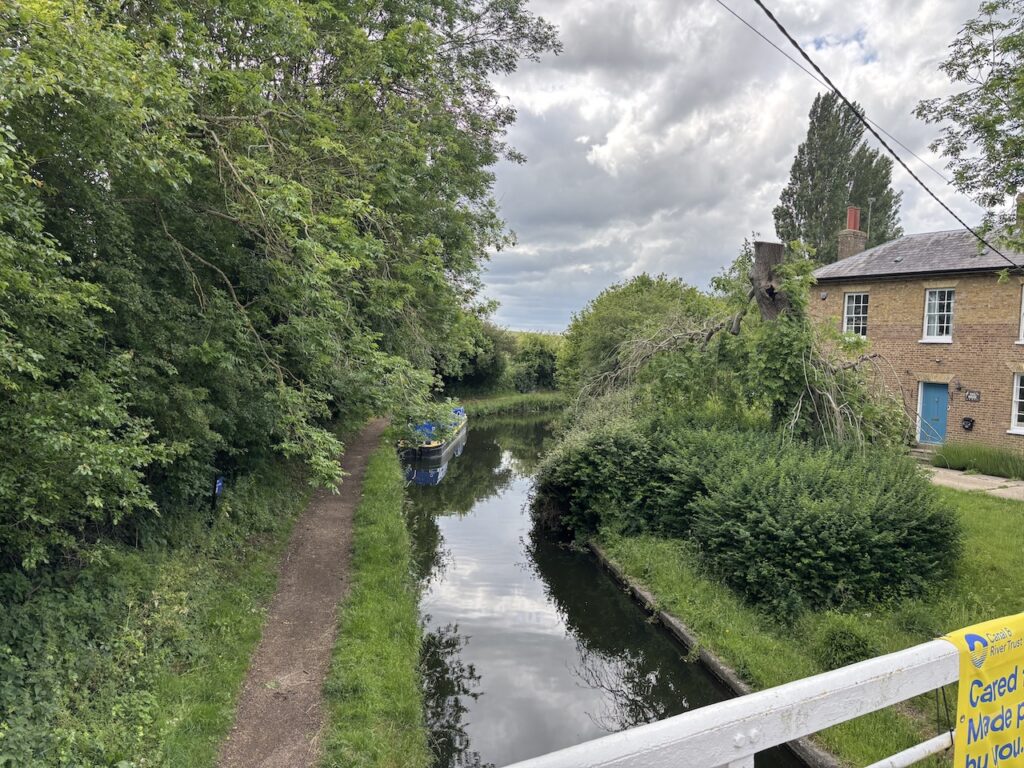
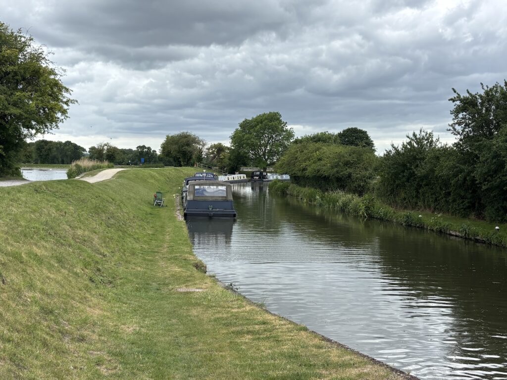
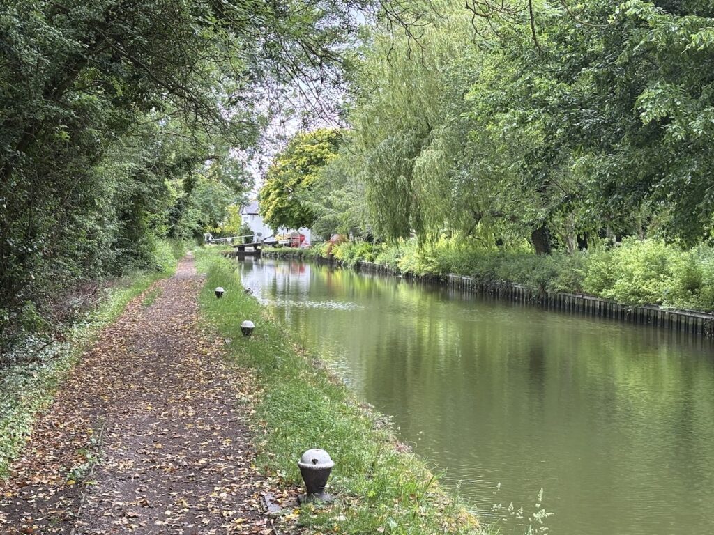
After passing the railway station I continue through the village and then take a path on the right which goes down steps and joins the towpath of the Grand Union Canal.
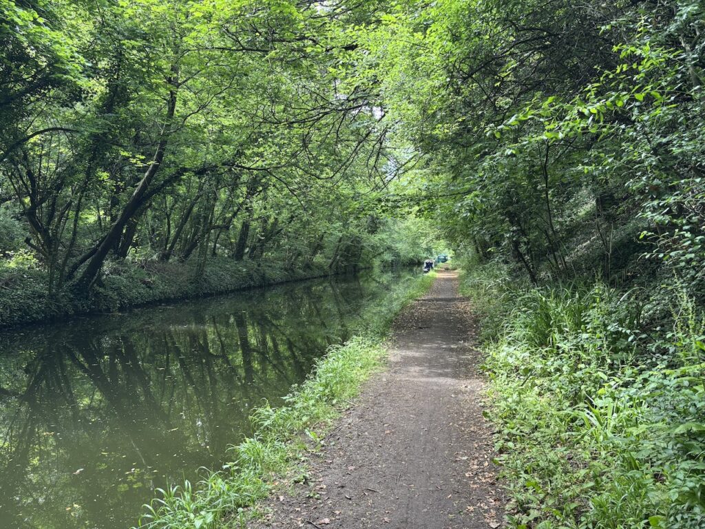
I have been looking forward to reaching the level ground of the towpath, for the last couple of hours my knees have been painful and hopefully walking besides the canal will put less pressure on them.
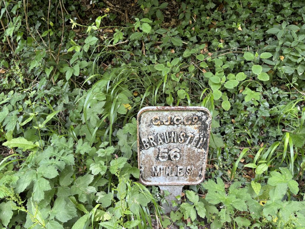
The Grand Union Canal is a major route on the British Canal network connecting London to the Midlands. This section joins the River Thames at Brentford and goes 93 miles to Braunston Junction. Along the way there are a number of spurs leading off to connect with other canals.
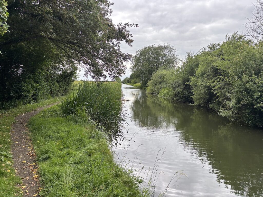
I will be following it for about 5km until I reach the Aylesbury Arm of the canal.
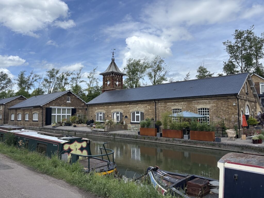
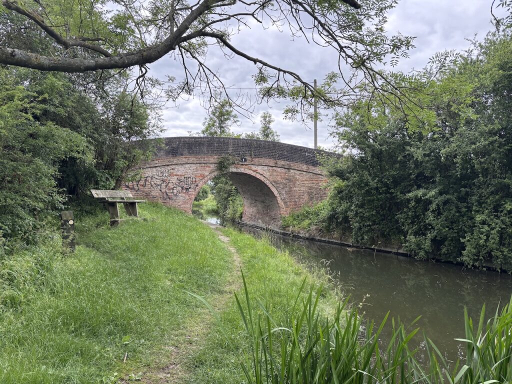
Initially I am walking with the canal to my left, but on reaching Marchcroft Lane Bridge the tow path switches to the opposite side. At Bulbourne I pass the Junction Pub and resist the temptation to pop in for a pint. On the opposite side is the former Bulbourne Workshops. Originally a boatyard it was used for many years by British Waterways to make Lock Gates and along with a carpenters workshop there was a blacksmiths forge. It has now been converted to homes.
Five hundred metres further along the canal I cross the Wendover Arm of the Grand Union Canal, a few years ago I walked a section of this canal which is in the process of being restored. It was a fascinating insight into the work required to get the canal full of water again.
From the bridge I get a good view of the Bates Boatyard Dry Dock sited on the opposite side of the canal. It is a solid brick building erected over an enlarged lock chamber. It is actually built over what was formerly one of the parallel locks that stood at this point.
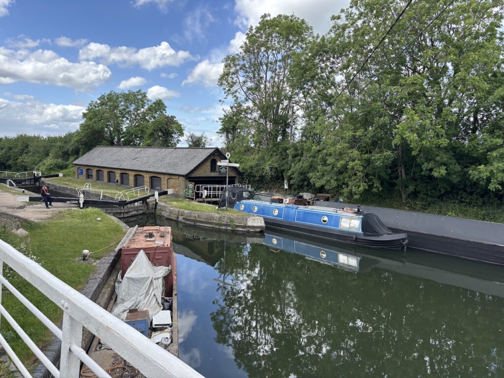
Continuing along the Grand Union Canal I soon reach the attractive lock keepers cottage at Marsworth.
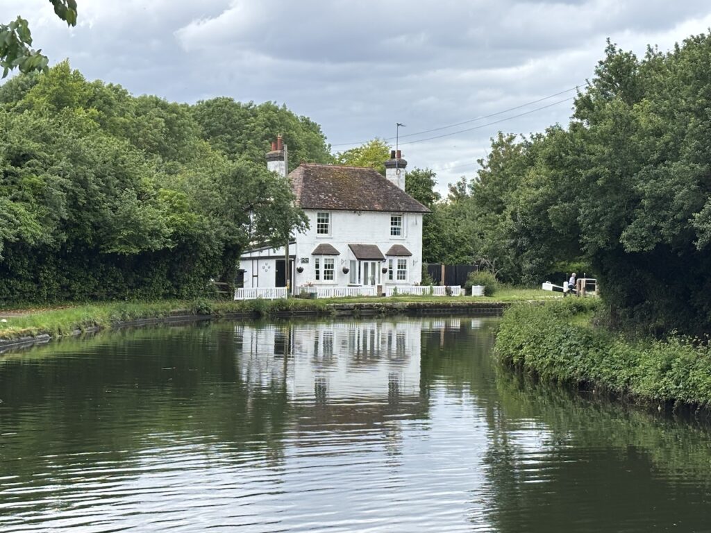
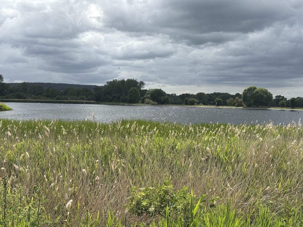
After passing the lock and cottage I get a sight of the Marsworth?? Reservoir, this reservoir is part of the Tring reservoir complex built in 1806 to provide a constant supply of water for the canal network. The complex of reservoirs are now a haven for wildlife and is a popular location for birdspotters.
My time on this section of the Grand Union Canal is almost over as I pass another reservoir. My knees are giving me serious pain, so I decide to use one of the benches by the canal to rest a while. I still have a few miles to do to reach Aylesbury and around 200 miles to reach the end of my intended route.
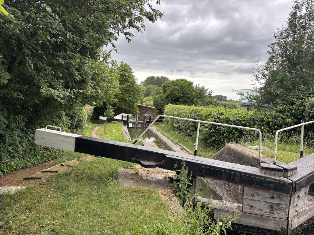
Starting off again the rest has helped my knees slightly, but I realise if I am going to complete this walk I will need some form of strapping on both legs. For now my focus is on reaching Aylesbury. At a junction of canals I take the left fork to join the Aylesbury Arm of the Grand Union. This will take me all the way to the centre of Aylesbury and my overnight accommodation which sits beside the canal.
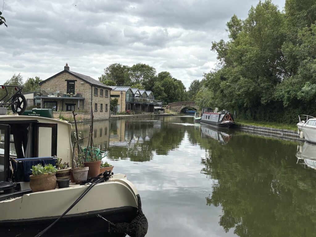
The Aylesbury Arm of the Grand Union Canal opened in 1815 after support from local residents and it became the main route of supplies to the town for many years. It runs for six and a quarter miles from the centre of Aylesbury to Marsworth Junction, to conserve water it was built with narrow locks.
Even after the opening of a rail line to the town the canal prospered and traffic included coal for the towns power station, Aylesbury Condensed Milk Company factory (which later became Nestle’s) and Aylesbury Steam Laundry.
By the 1950s traffic had almost ceased and later the canal was in danger of closure, but thankfully some quick minded members of the public formed the Aylesbury Canal Society in 1971 and started operating small boat hire to ensure the waterway remained open.
Reaching the canal bridge number 8 I still have 4 miles to go so decide to take a rest on the bench beside the bridge. The is a tranquil spot to sit for a while.
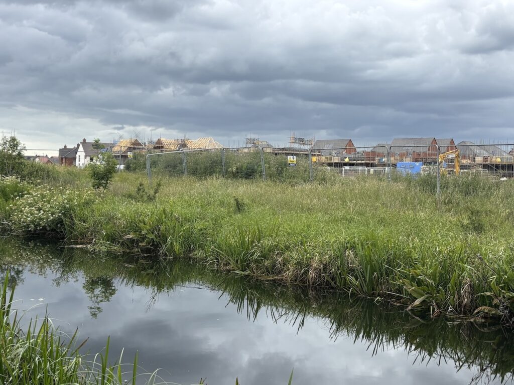
Nearing the outskirts of Aylesbury I pass a new housing development on the opposite side of the canal.
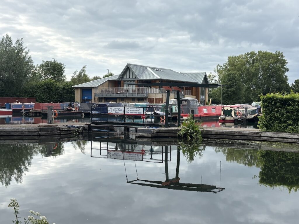
There is now a more urban feel, to my left is the Circus Field Basin Marina, this was built in 2013 and is the home of the Aylesbury Canal Society. As well as mooring and boatyards there is a large clubhouse.
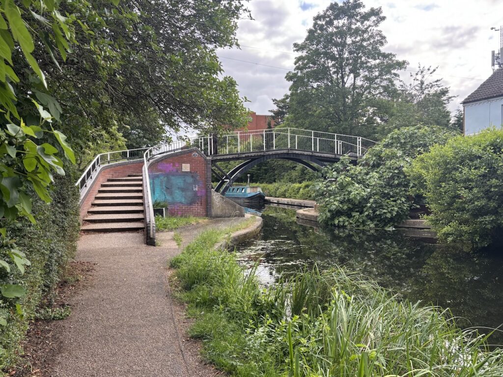
After passing Victoria Park I continue towards the town centre and cross a metal bridge to take me onto the opposite side of the canal.
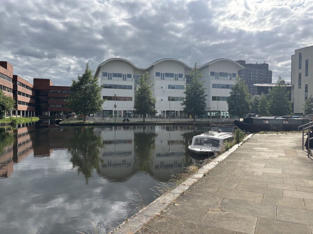
It is now a very short distance to reach Aylesbury Basin, alongside which sits a Travelodge which is my overnight accommodation.
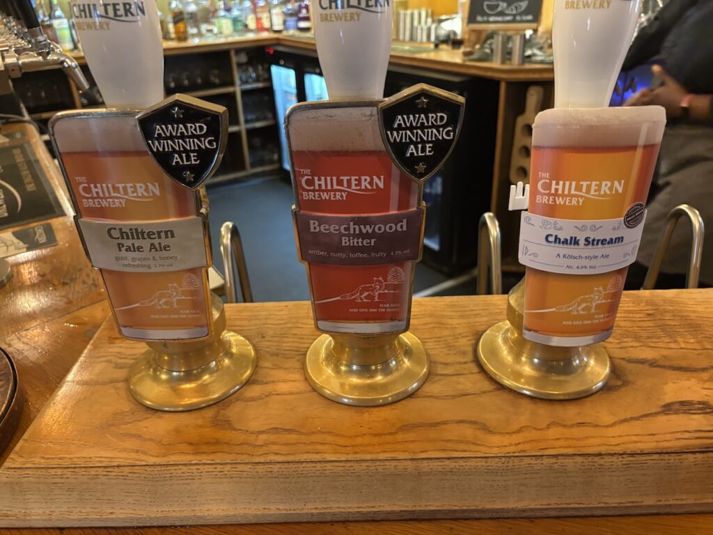
I have walked 24 miles today and my knees have been giving me a lot of pain. Hopefully a good nights rest and some pain killers will make things easier. But first of all its time for a shower and a wander into Aylesbury for a drink and a bite to eat. I find myself in the Kings Head which dates from 1455 and claims to be the oldest pub in Buckinghamshire. It is certainly a pub full of character and best of all serves an excellent pint of The Chiltern Brewery beer.
To follow my walk you will need Ordnance Survey Explorer 193 – Luton & Stevenage; and Ordnance Survey Explorer 192 – Buckingham & Milton Keynes
You can view this 24 mile walk on OS Maps and download the GPX File Here
5th June 2026
© Two Dogs and an Awning (2026)
All information on this site is provided free of charge and in good faith and no liability is accepted in respect of damage, loss or injury which might result from it. To the best of my knowledge the routes are entirely on public rights of way or within areas that are open for public access.
Walking can be hazardous and is done entirely at your own risk. It is your responsibility to check your route and navigate using a map and compass.