

Over the summer I have not made much progress on my trig bagging quest, the very hot weather has meant on a couple of occasions I cancelled or curtailed routes which would have added to my tally so I feel in need of a multiple trig walk. Within the local area I have managed to bag most of the trigs, but there are some between Ringwood and Christchurch that I have yet to visit, so that’s where I am heading today.
The starting point for my walk is the Forestry England car park at Ramsdown Plantation (BH23 6DY). From the car park I walk back down the entrance driveway and then just before reaching the Avon Causeway take a path on my right eading into the trees.
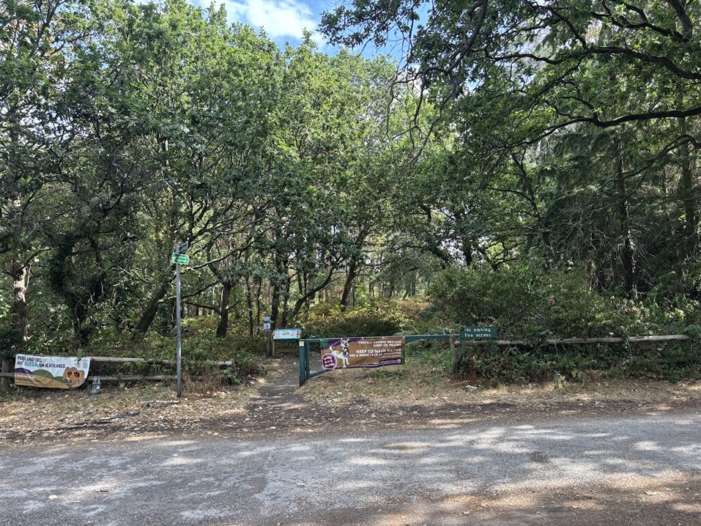
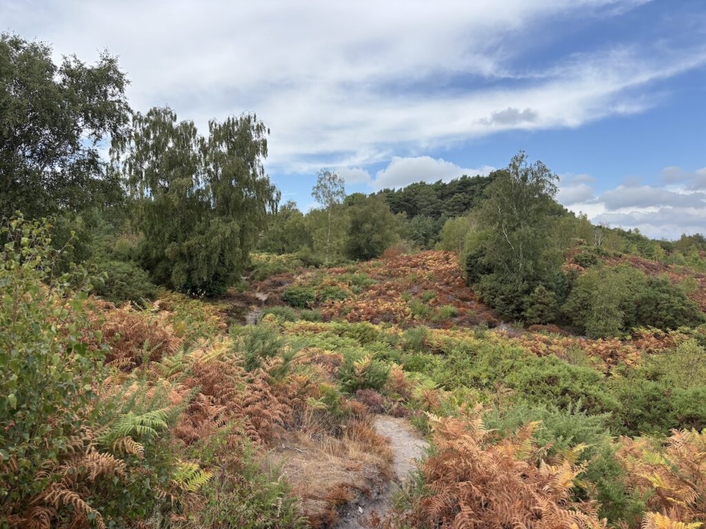
The path goes steadily uphill through the bracken and trees.
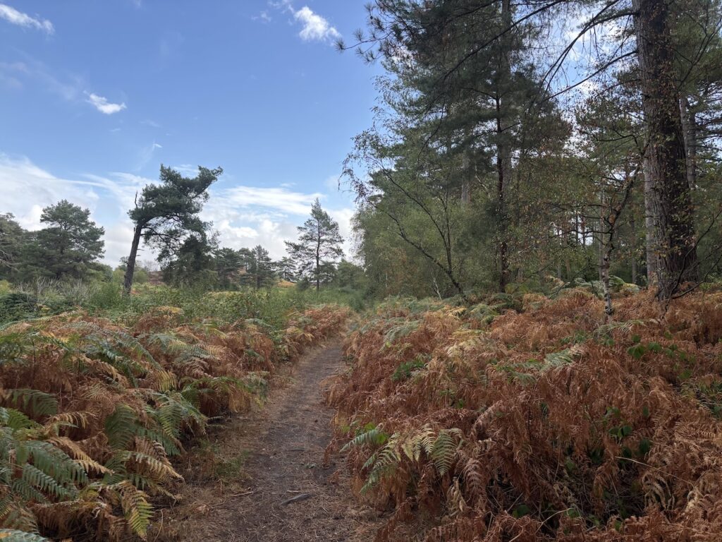
Ignoring paths leading off in both directions I pass an enclosed area on the top of the hill and then descend to reach a broad path where I turn left.
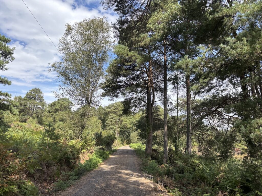
This track leads back towards the Avon Causeway but just before reaching the road I take a path on the right running parallel to the road and then just before reaching the main A338 join the road I cross and walk along the verge to cross the main road on a bridge.
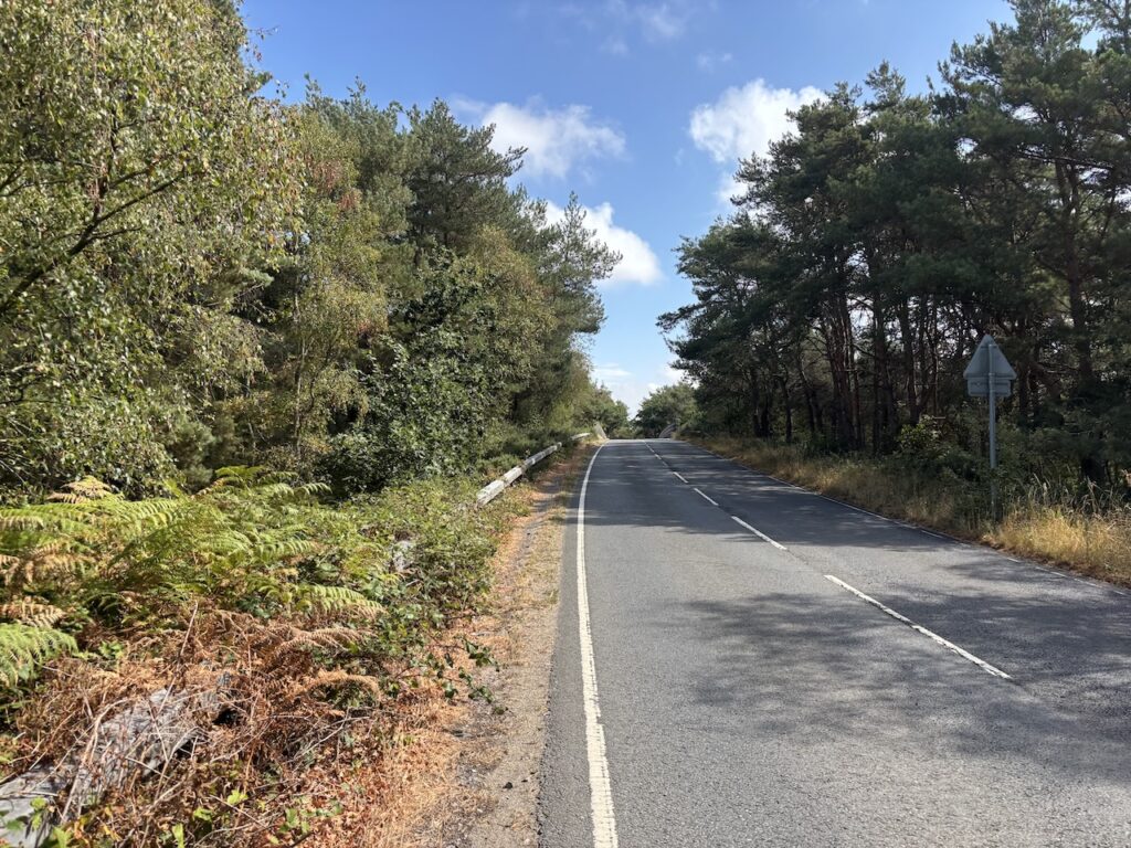
On the far side of the bridge I reach the entrance to the Avon Causeway pub, the pub is housed in the former Hurn Railway station which sits on the now disused Ringwood, Christchurch and Bournemouth railway line. The route passed through land owned by Lord Malmesbury and apparently one of his conditions for allowing it over his land was the installation of two private halts, one to serve his residence at Herons Court, which was later know as Hurn Court and the other at Avon Lodge which served his tenants and staff.
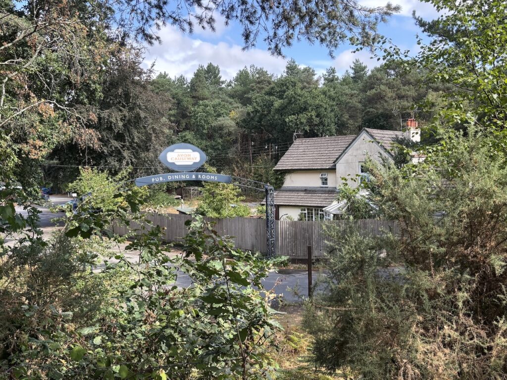
At the entrance to the pub I cross the road to join the route of the dismantled railway.
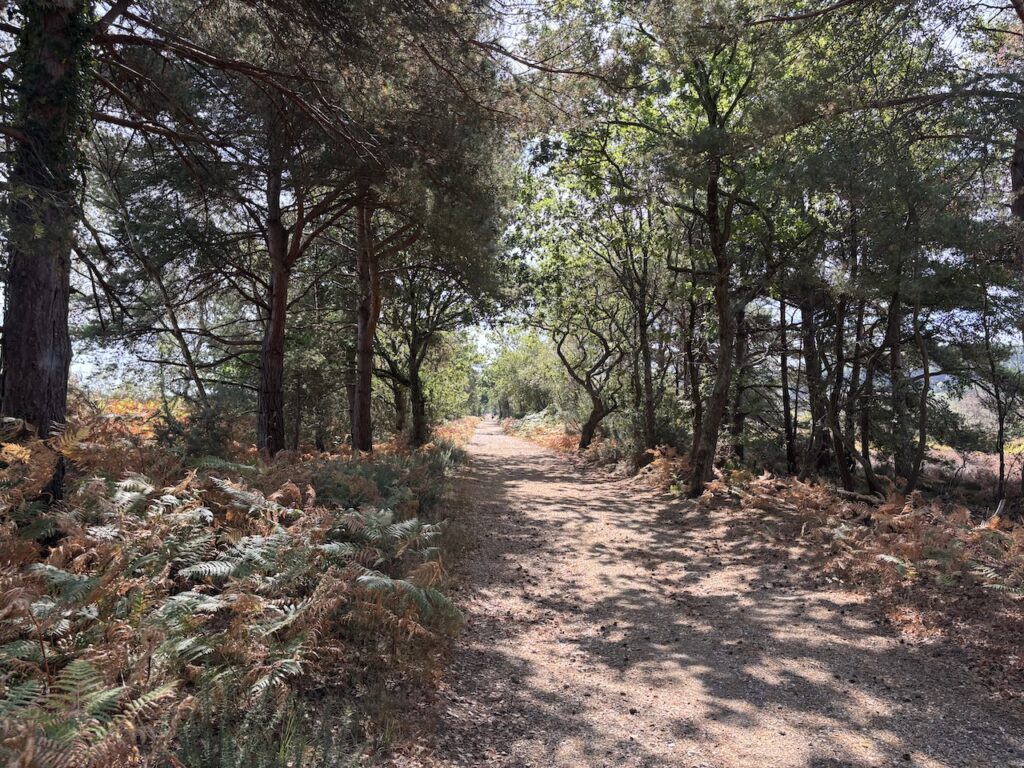
The Ringwood, Christchurch and Bournemouth railway was opened in 1862 and was built to connect the emerging resort of Bournemouth with the main Southampton and Dorchester line at Ringwood. However in 1872 the line was purchased by London and South Western Railway and they decided that diverting to Ringwood made the journey tedious and Bournemouth passengers would be better served by creating a new line from Christchurch to Brockenhurst where it could join the mainline.
The reduction of passengers on the route between Christchurch and Ringwood soon made it financially unviable and in September 1935 it was closed permanently.
I stay on the disused railway path passing properties on the left to reach Dudmoor Farm Lane.
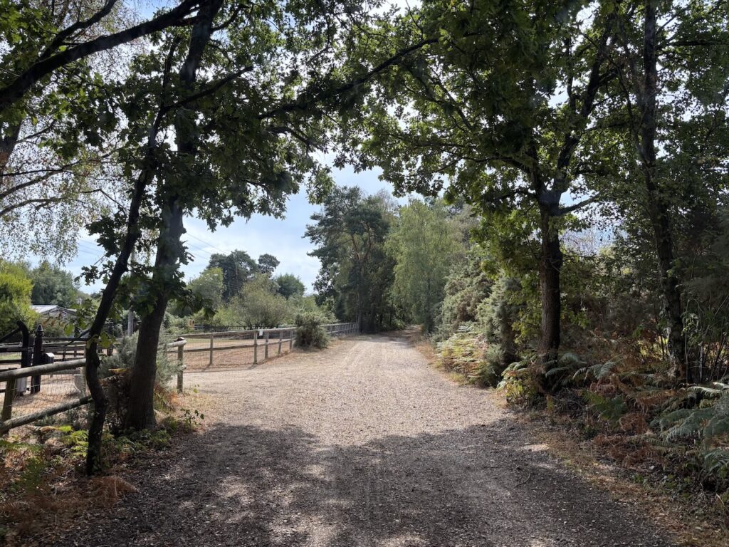
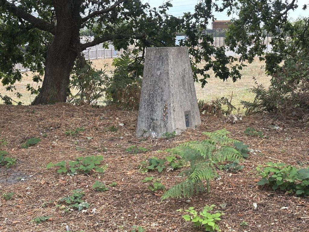
Turning right on Dudmoor Farm Lane I follow this for 100 metres and then take a footpath on the left which heads along Marsh Lane to a housing estate. At a junction I go straight on and soon reach the gate to Twynham Primary School. Fortunately it is the school holidays so I go along a driveway to the metal gates of the school and on entering a car park there is the Cowards Marsh Ordnance Survey trig pillar located behind a metal fence in the school playground.
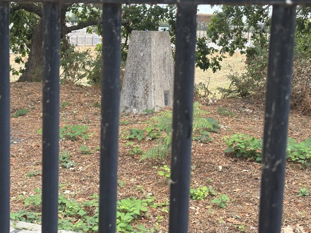
I usually like to touch a trig to bag it, but there are occasions when I have to be pragmatic and this is one, there is no way I am clambering over a high metal fence into a school playground to bag a trig. Indeed I would not even have attempted to visit this trig if it had been school term time. So I am content to take a picture through the fencing.
From the school I return to Marsh Lane and retrace my steps to Dudmoor Farm Road. This time I go straight across the road and go beside a metal gate to join a path.
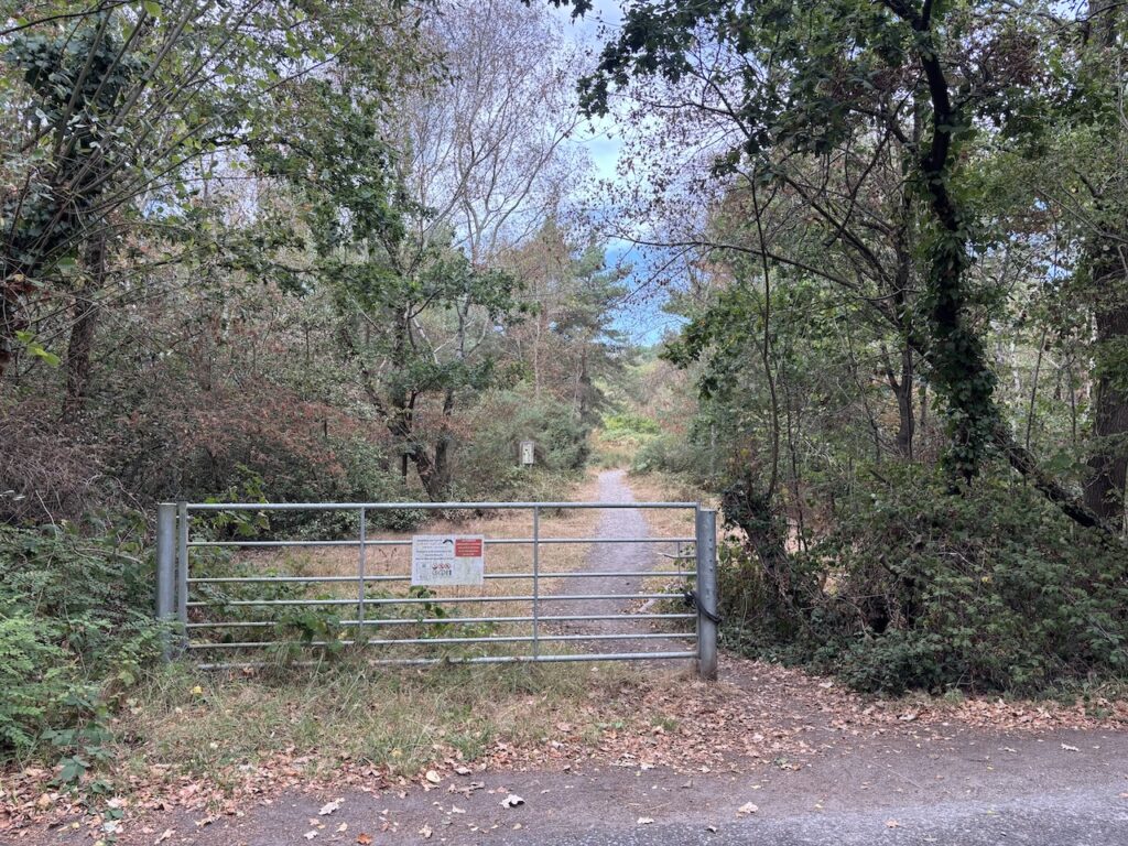
After pausing to read the information board about St Catherine’s Hill I continue along the path. There are a network of paths on this hill but I take the main path heading steadily upwards.
After a short steep section I reach the St Catherine’s Hill Ordnance Survey trig pillar, this my 530th trig.
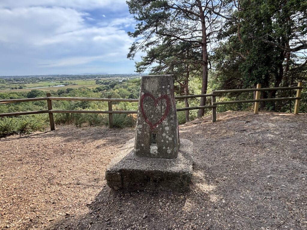
There are stunning views across the Avon valley from this point. A few years ago I walked the Avon Valley Trail between Salisbury Cathedral and Christchurch Abbey with a friend, parts of the walk were attractive but once south of Ringwood. even in June, we encountered flooded paths and then a section beside a busy road with no pavement. Nearing Christchurch a path was closed and we ended up walking into town along a busy road with heavy traffic. I think the route is far better looked at from here!
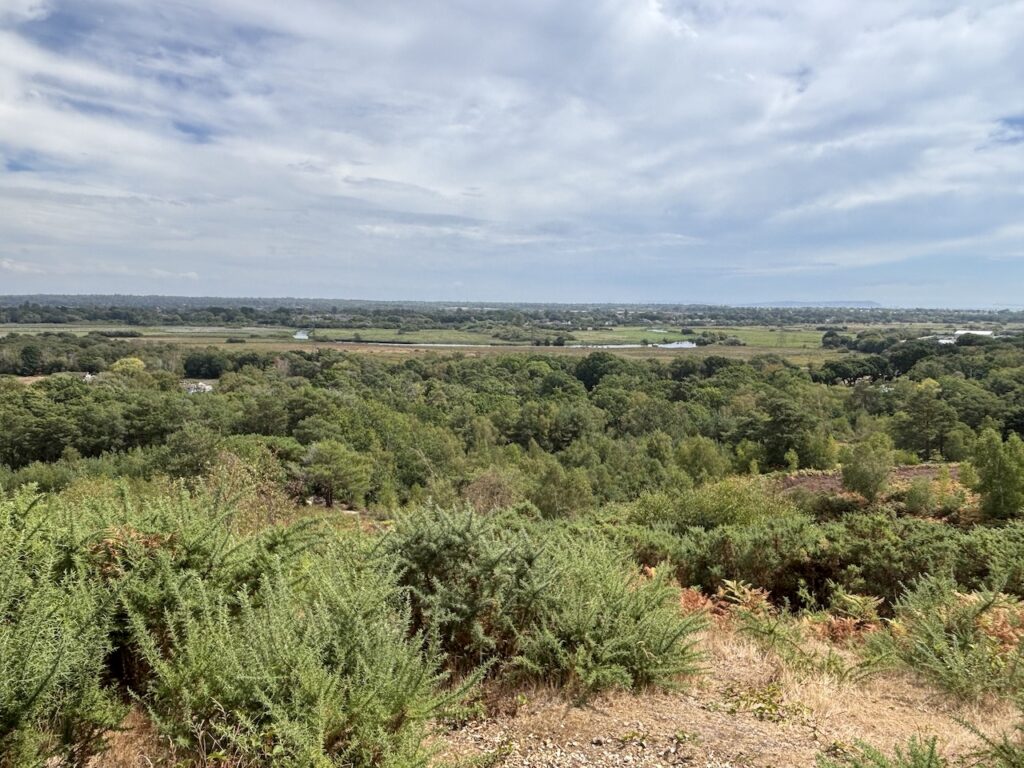
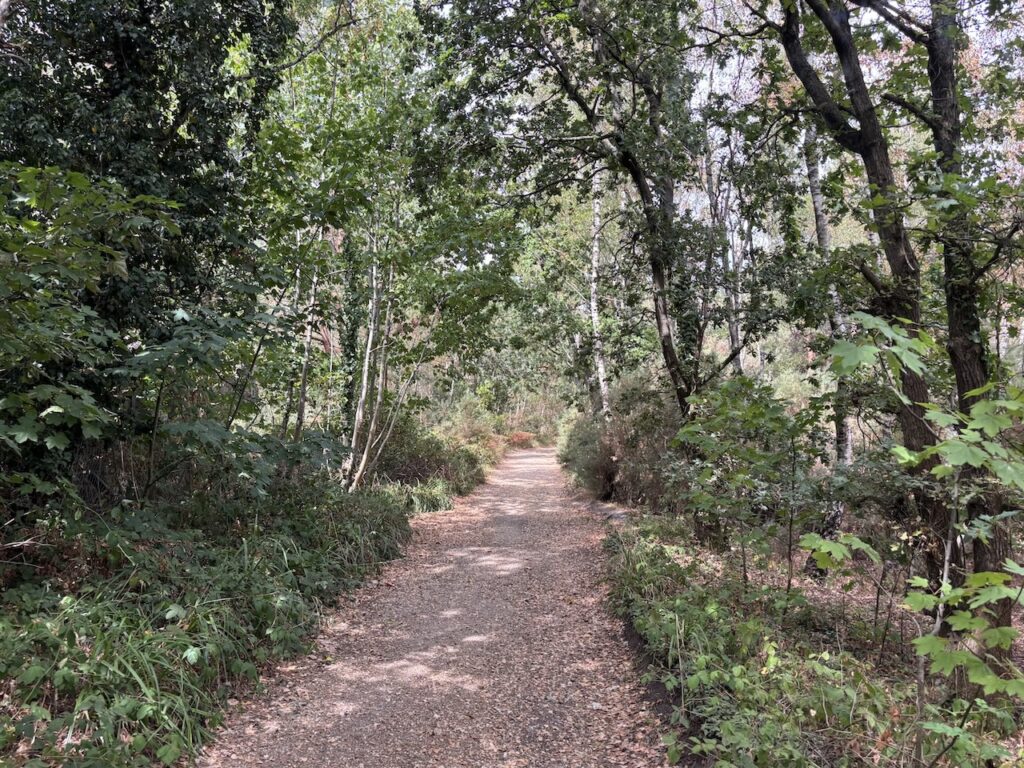
Leaving the trig via a path on the other side I soon reach a broad track and turn right to walk along the top of the hill.
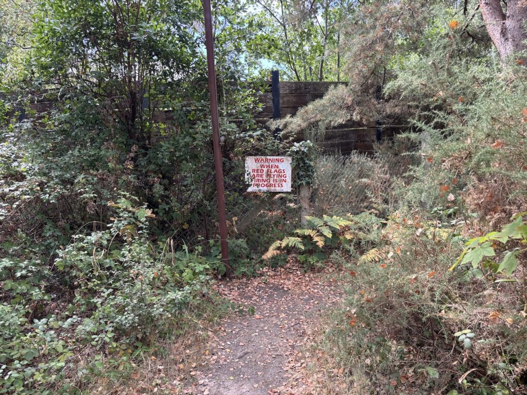
The path takes me past a warning sign from Christchurch Gun Club which is located in an old sand pit.
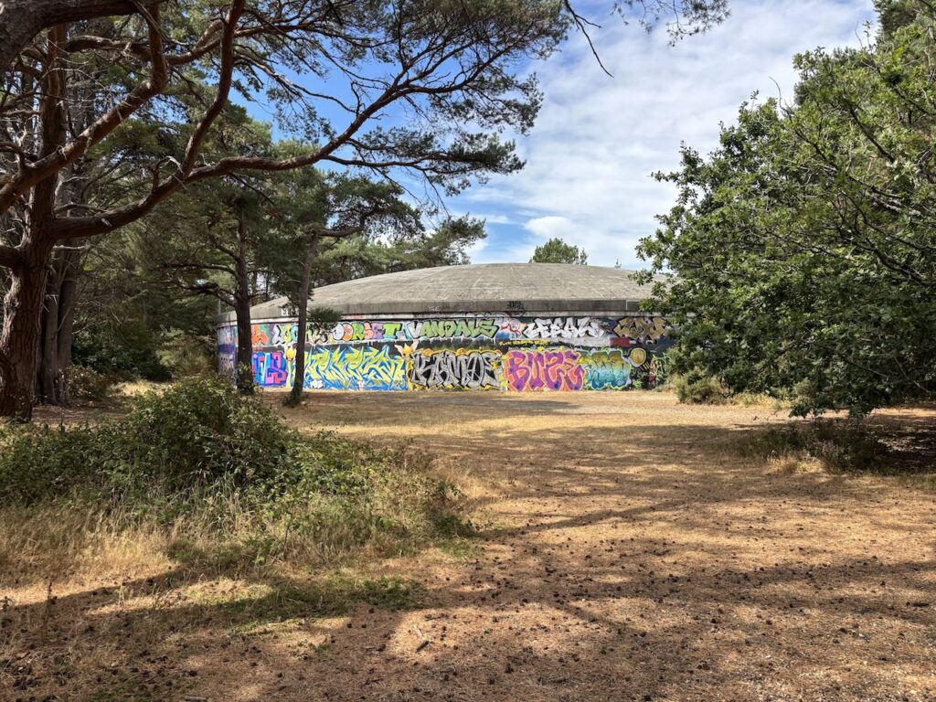
Soon after I pass a series of reservoirs. Apparently a reservoir was first constructed on the hill in 1895. It was rebuilt in 1930 and a second reservoir was added in 1960 they serve Christchurch and the surrounding area.
St Catherine’s Hill gets its name from a chapel that was built here prior to 1331, the exact date is unknown but that is the first recording of the building. Apparently the Bishop of Winchester, John De Stratford, got wind that a building had been constructed without his approval and banned services until he had investigated, this took a year before he gave his approval. Services were then conducted until the dissolution under Henry VIII, thereafter the building fell into disrepair and materials were reused in nearby constructions.
My route continues along the top of the hill through attractive pine woodland.
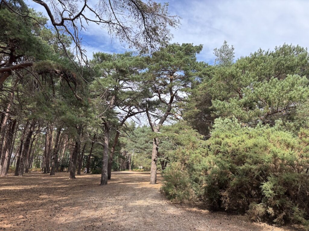
I pause at another information board, this one has details of local archeology and the use of the hill as a military training ground in World War I & World War II. Continuing on the path I head towards Blackwater Hill and then at a junction of paths I turn left, leaving the main route, to head to the summit of Blackwater Hill.
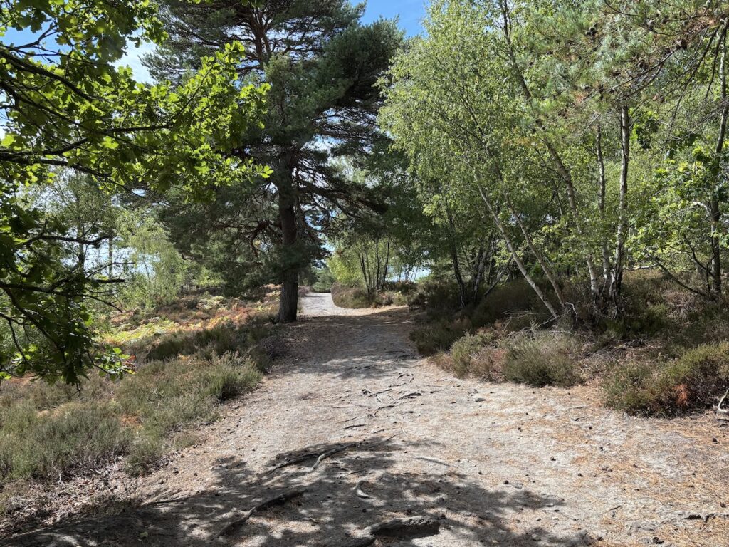
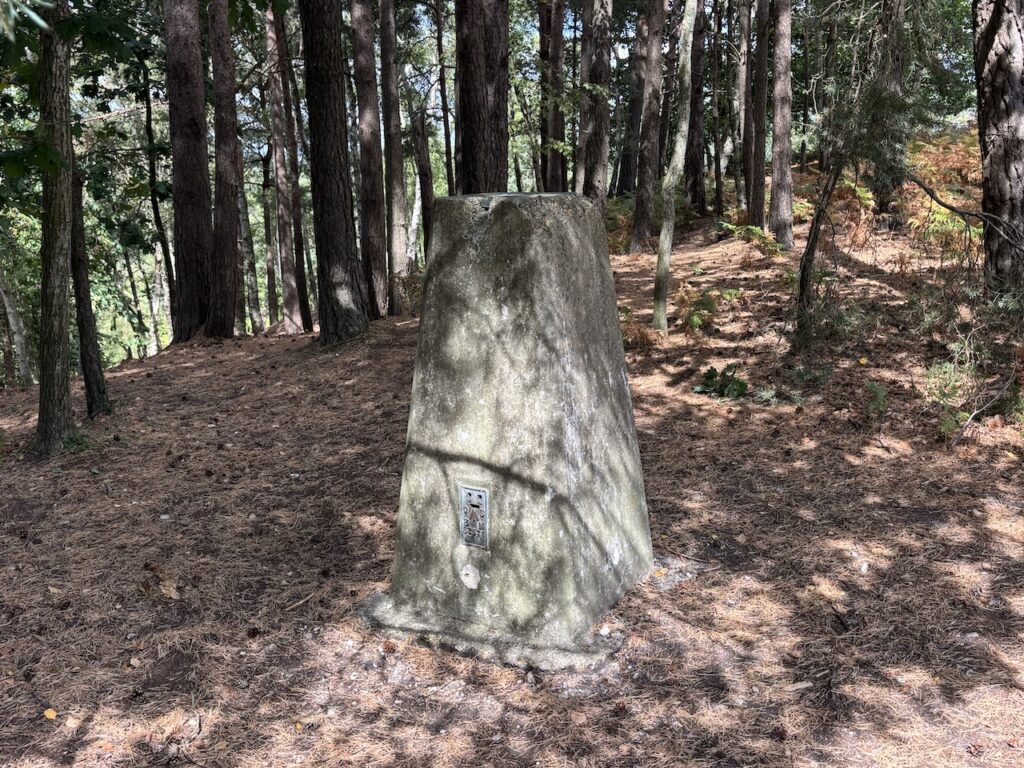
This path soon leads me to my third Ordnance Survey trig pillar of the day.
There are a number of paths on this hill, I head in a northerly direction around the contours of the hill to meet the main track again and then at a junction of footpaths I turn left heading towards the A338.
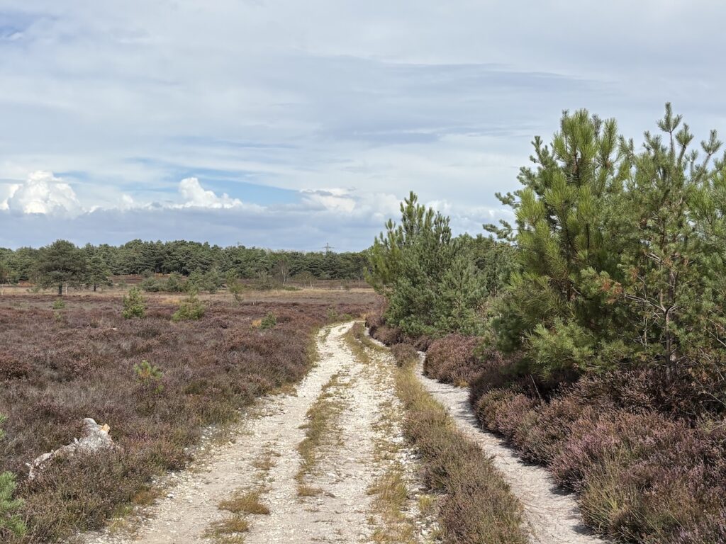
On nearing the main road I ignore a footpath through a metal gate to the road and instead follow a path across the common.
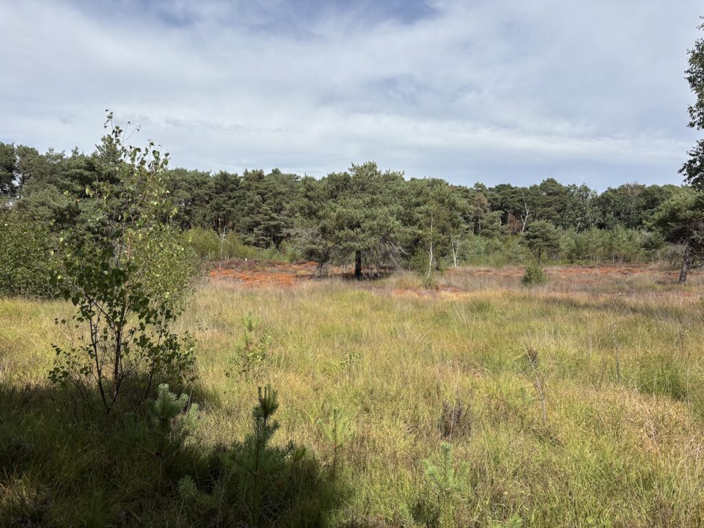
This clear path leads me back to the route of the disused railway where I turn left and retrace my steps, passing the Avon Causeway, back to Ramsdown Plantation. At the main track I keep straight ahead ignoring the path I took earlier over the hill.
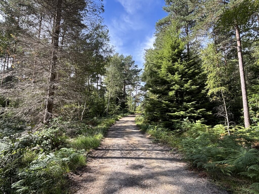
Just before reaching Brickfield Cottage I turn right and then take the second track on the left to reach a crossing of tracks where I go right to return to my start point.
To follow my walk you will need Ordnance Survey Explorer OL22 – New Forest
You can view this walk and download the GPX File on OS Maps (OS Maps subscription required)
27th August 2026
© Two Dogs and an Awning (2026)
All information on this site is provided free of charge and in good faith and no liability is accepted in respect of damage, loss or injury which might result from it. To the best of my knowledge the routes are entirely on public rights of way or within areas that are open for public access.
Walking can be hazardous and is done entirely at your own risk. It is your responsibility to check your route and navigate using a map and compass.