

We have decided to take a short trip away to visit Shrewsbury and Chester without the caravan. It will enable us to catch up with friends in Shrewsbury and also revisit Chester, Port Sunlight and Liverpool, places we last went to over 25 years ago. Of course I am always scanning maps seeking an opportunity to bag a new trig and today I am going to do a short walk from Uffington to bag the trig on Haughmond Hill.
Starting my walk from Uffington Village Hall I turn right to head north along the road through the village and after 150 metres take a footpath on the right to Haughmond Hill.
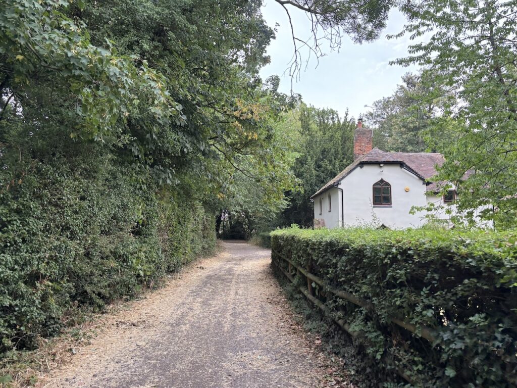
After 80 metres at a junction of paths I turn right to enter Forestry Commission land on Haughmond Hill.
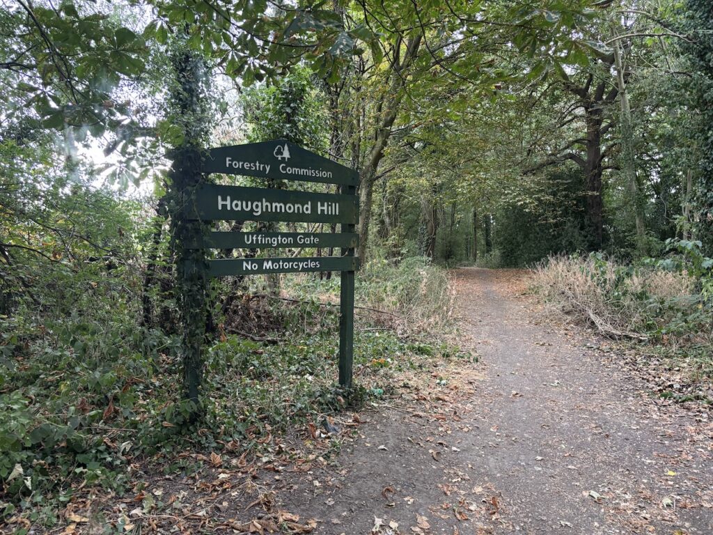
This is a broad track which I follow for just over 600 metres to reach a fork in the path.
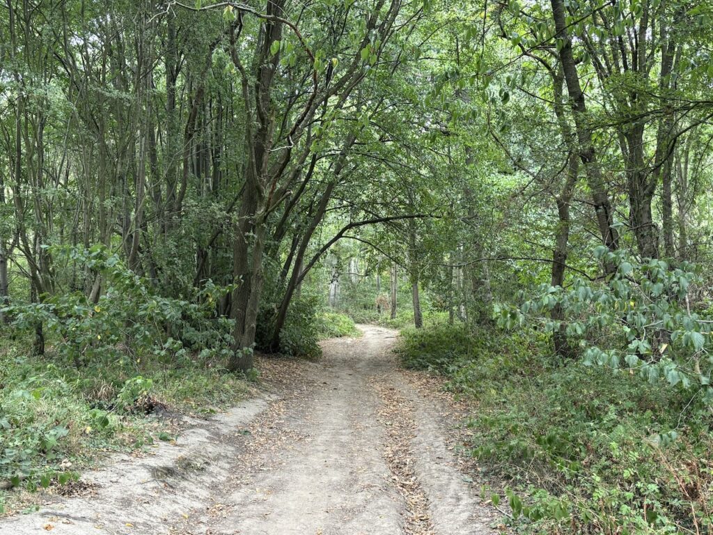
At the fork I take the path on the left and follow the path through trees and bracken as it stays close to the western edge of the woodland.
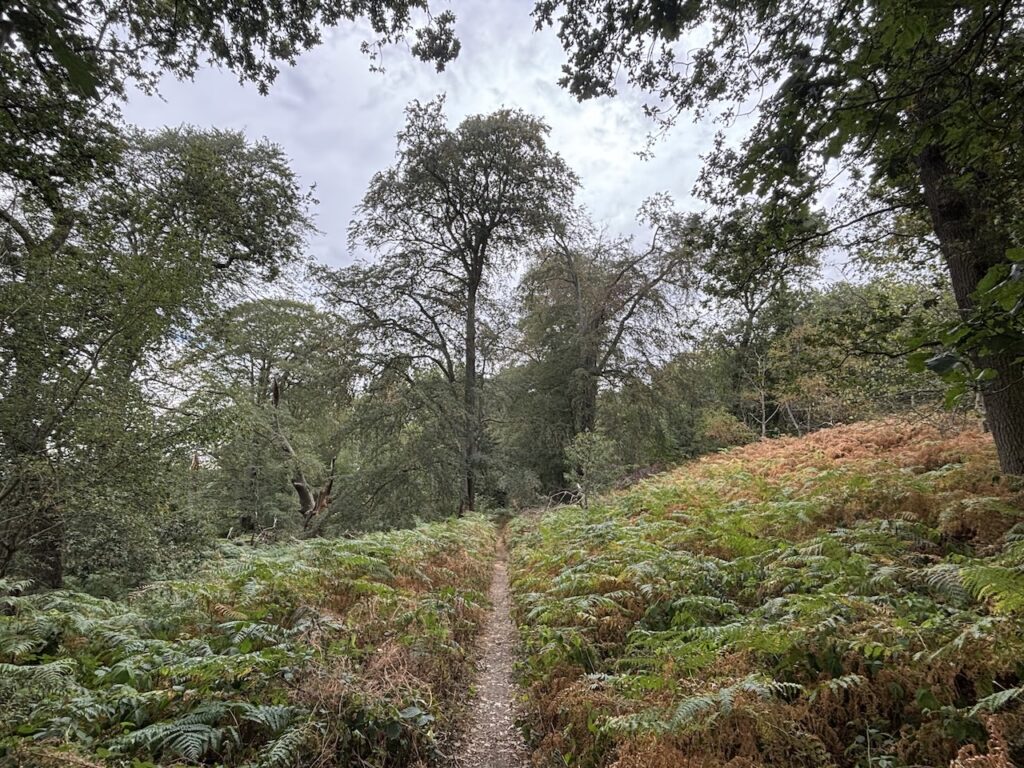
To my right there are signs of old quarry workings but the thick undergrowth makes it impossible to get a good look. The stone of this hill has been used for centuries in construction and road building.
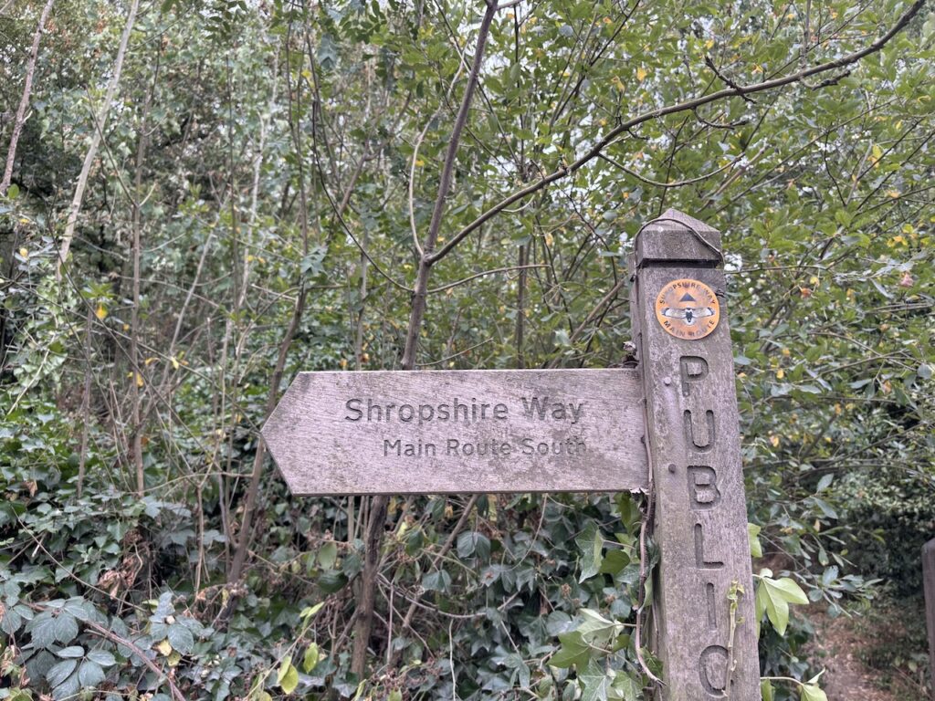
After 1.25km on the path I reach the busy B5062 and turn right along the wide grassy verge following the route of the Shropshire Way.
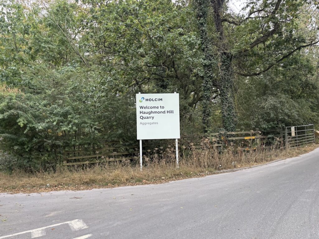
I stay beside the road for just over 200 metres and then turn right along a road sign posted to Upton Magna, Withington and Haughmond Quarry.
I soon reach the entrance to Haughmond Quarry, very little of this can be seen but it is a vast open cast site. Quarrying started in the 1950’s and it is now approximately 1km long, 225 metres wide and 33 metres deep. So it is a big hole!
There is a spot in the woods where you can safely view the quarry, but that is not on my route today.
Soon after the quarry entrance I reach the Forestry Commission car park, after 50 metres and before reaching the main body of the car park I take a path on the left which is way-marked as a “Wellbeing Trail”.
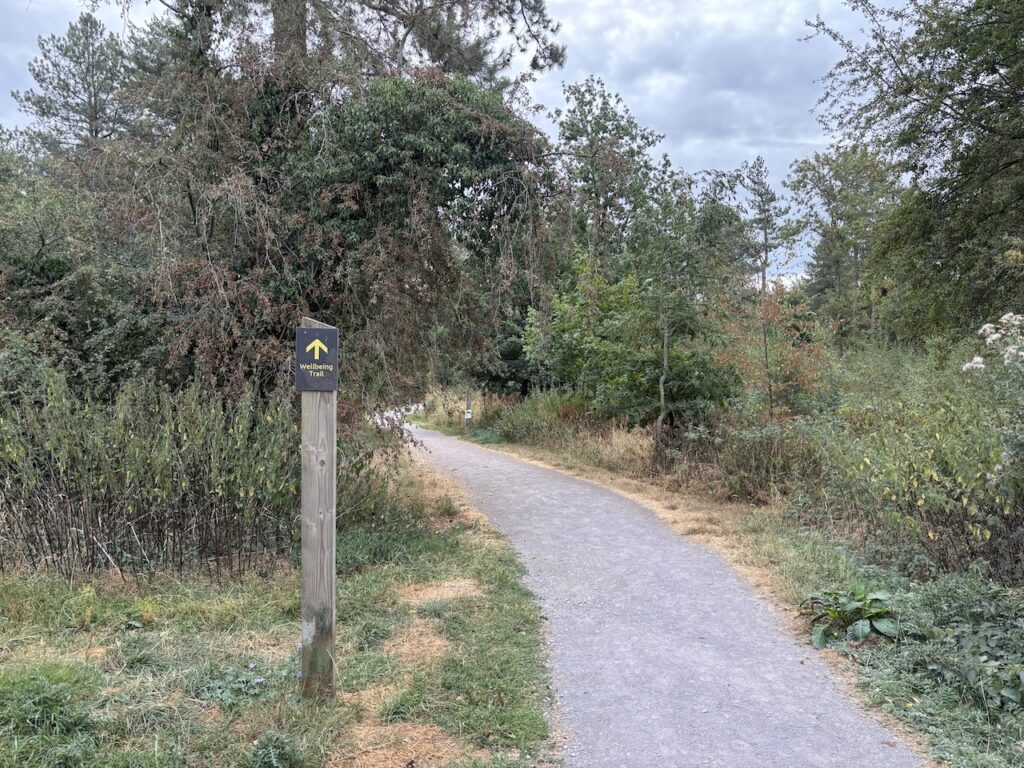
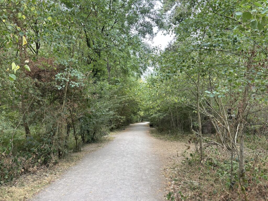
I follow this trail as it winds its way through the trees. The wellbeing trail covers 1.5 miles and has been created to boost mental and physical health and along the way it features themed panels that invite walkers to slow down and mindfully connect with nature.
I think such initiatives are a good idea especially to encourage folk to get out more. Frequently when I am walking I will find a spot to sit in the trees or along a hedgerow to take in my surroundings, but on this route today there are a number of dog walkers so there is not really an opportunity to immerse myself in nature.
On reaching a track I turn left and follow a path that soon reaches the eastern side of the wood where there are expansive views across the countryside.
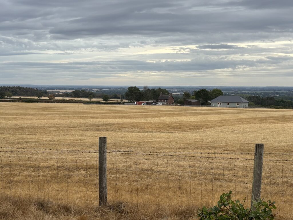
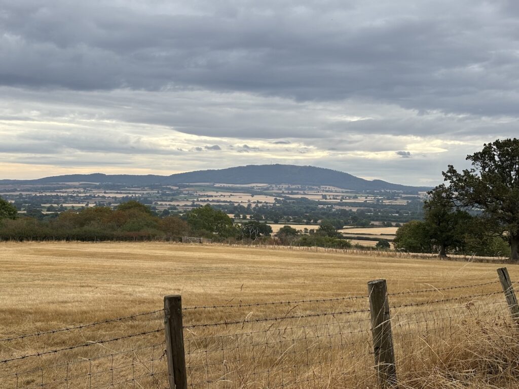
In the far distance I can see the Wrekin, it is a hill that I have planned to walk a couple of times but never got around to. It stands in such a prominent position the views must be stunning. I must plan a walk up it soon.
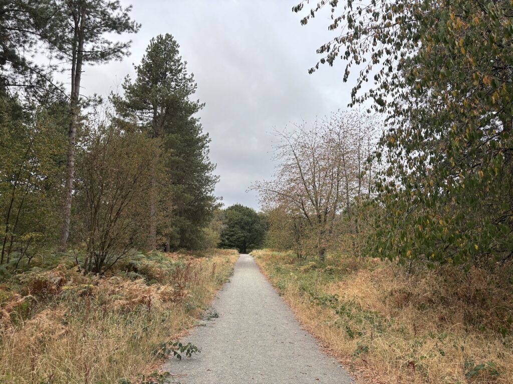
Reaching a broad track I turn right and follow it through the woods.
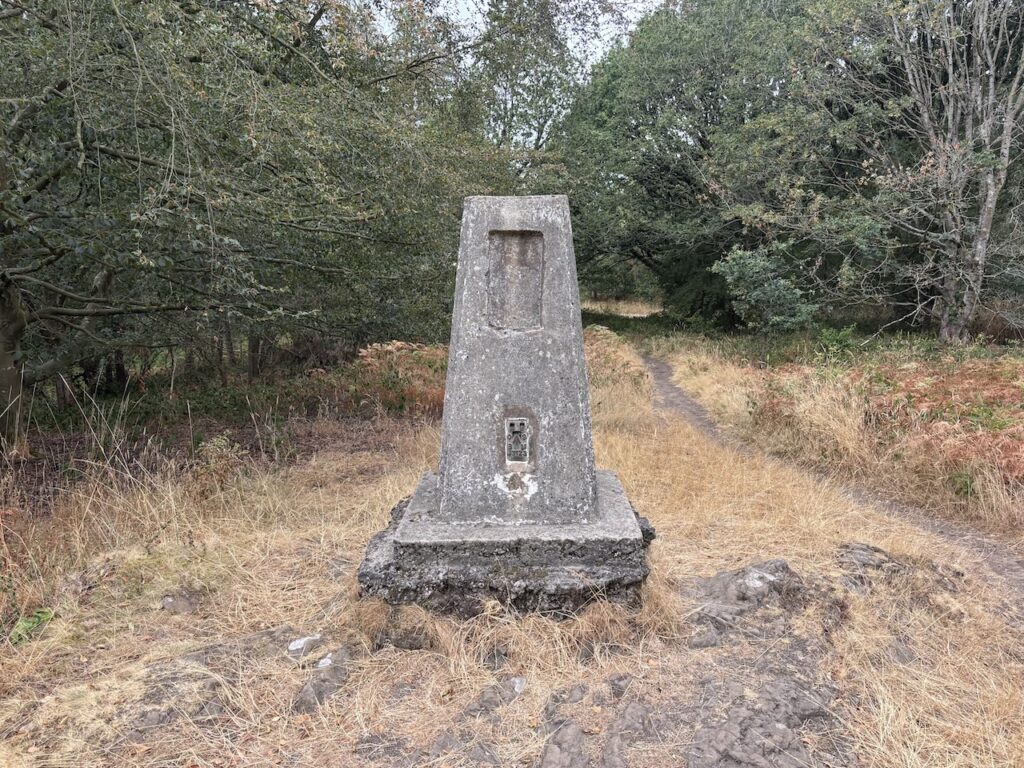
After 800 yards I spot the Hanging Hill trig, this is my 527th trig. It is now surrounded by trees, when the trig was operational there must have been stunning views from this point.
Returning to the path I walk a further 200 metres and then take a path on the left. Before descending on this path I take a slight diversion to a view point which looks across the Severn Valley towards the Berwyn Hills.
On 21st July 1403 an army led by King Henry IV fought a rebel army led by Henry “Harry Hotspur” Percy. The battle resulted in the death of Harry Hotspur. After his death Percy was buried in Whitchurch, however the King thought this was unfitting and had him disinterred and his body was salted and setup on a spear and display in Shrewsbury market place. Apparently after being quartered he was put on display in Chester, London, Bristol and Newcastle upon Tyne. Before his body was returned to his widow he was beheaded and his head was sent to York to be impaled on the north gate looking towards his land in Northumberland.
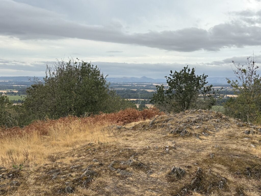
I now head downhill through the trees until I reach a junction of paths.
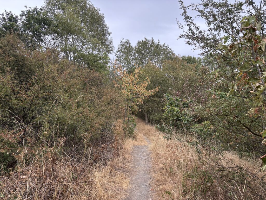
Turning right at the junction I follow a path along the south-west edge of the woods.
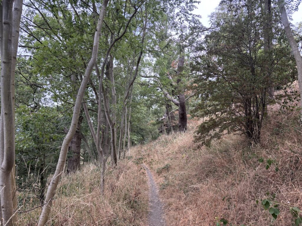
After 400 metres I reach a junction of paths. To my right is Queens Eleanor’s Bower, unfortunately there are thick brambles and despite exploring possible routes to look at this historic site I can’t find an easy way to access it.
Queen Eleanor’s Bower is a medieval fortified circular earthwork, it is suggested that the bower was the location that Queen Elinor, the wife of Henry IV chose to view the battle of Shrewsbury. The mystery is why she would stop halfway up the hill when there would have been a better view from the top.
Turning left I head across fields towards a minor road.
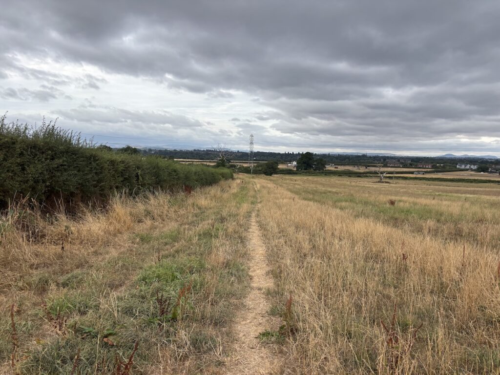
Reaching the minor road I turn right and almost immediately cross the route of the disused Shrewsbury Canal. Built in 1795 this operated until 1944 when it was officially abandoned.
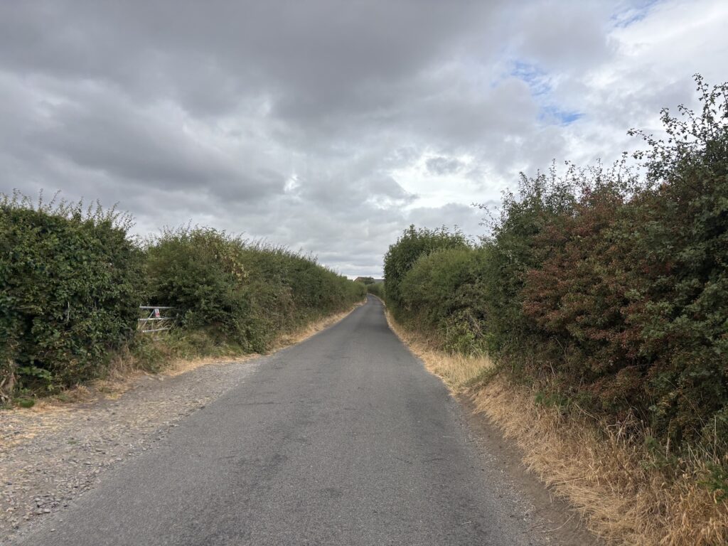
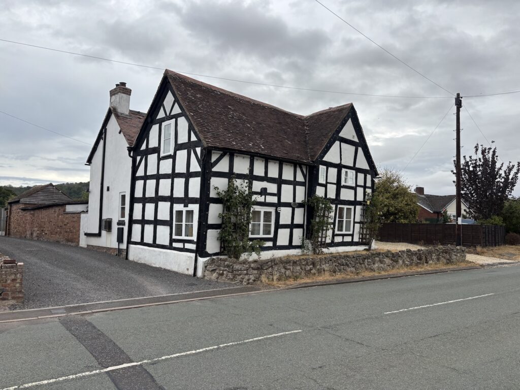
After 400 metres I reach a junction and turn right to walk through Uffington passing a number of attractive old cottages.
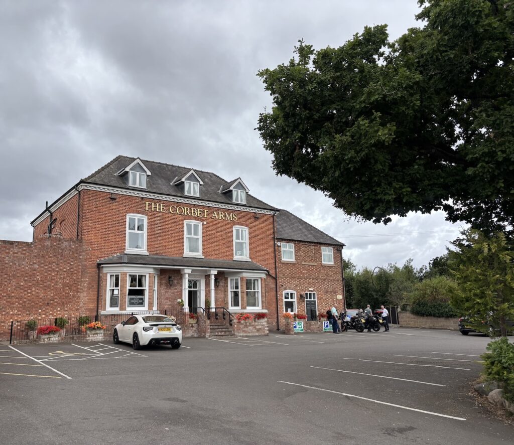
Soon after passing the Corbet Arms I reach my starting point at the village hall car park.
This has been an interesting walk and when I next return I will allow time to explore Haughmond Hill in more detail.
To follow this walk you will need Ordnance Survey Outdoor Leisure – 241 Shrewsbury
You can view this walk on OS Maps and download the GPX File Here (Subscription to OS Maps Required)
4th August 2026
© Two Dogs and an Awning (2026)
All information on this site is provided free of charge and in good faith and no liability is accepted in respect of damage, loss or injury which might result from it. To the best of my knowledge the routes are entirely on public rights of way or within areas that are open for public access.
Walking can be hazardous and is done entirely at your own risk. It is your responsibility to check your route and navigate using a map and compass.