

At the end of yesterday’s walk I was in so much pain with my knees that I thought it was unlikely I would be able to continue today. I phone home and have a chat with Lynnie about my options. She suggests I call our daughter’s partner, he is an osteopath and will be able to offer advice. Call made and I was duly provided with a demonstration on how to strap my knee to reduce the pressure on my knee caps.
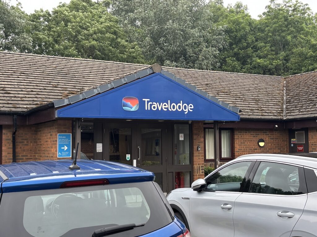
Waking early in the Travelodge I wander across to the petrol station in the service area to pick up some breakfast, it is less than 100 metres but I struggle to to make the journey and look at how I can do the next couple of stages of my walk by public transport so I can rest my knees.
I decide to walk into Thame to catch a bus to Oxford. I hate having to curtail a walk through injury so my mood is pretty low.
I cross the roundabout and go into Thame along the Aylesbury Road soon passing the cricket ground with St Mary’s Church behind it.
At a roundabout I turn right into Bell Lane and follow it to a junction with the High Street. I cross over and go into Southern Lane and pass the Rising Sun pub. I popped into this pub yesterday evening for a pint and a Thai meal.
I’ve now walked over a mile and the pain in my knees is manageable, it appears the strapping is working so I decide to abandon my plans of catching a bus and instead walk as far as I can, if need be I am sure I will be able to fund a bus stop somewhere, if not I will have to call a cab.
I continue along Southern Road and pass the town’s recreation ground where people are gathering for an exercise class and then tun right into Moreton Lane to go along theedge of the recreation ground.
I stay on Moreton Lane until it bends to the left, here I carry straight on along a tarmac track.
At a junction with the Phoenix Trail I go straight over and pass Bates Leys Farm and soon after at a junction of paths turn right to head towards Moreton.
In the village I pass the War Memorial and then fork left along a tarmac track to head south towards Moreton Field Farm.
This track is over 3km long and will eventually lead me to Tetsworth, at its highest point I had planned to bag the OS trig pillar at Horsenden Hill, it is a little bit off the public right of way and I hope there will be easy access. However ,when I get to the point where I need to leave the track the sign on the gate makes in clear the landowner does not welcome visitors.
It is always disappointing to miss out on a trig, but there is another one on my route today which should be easy to bag.
Continuing along the track I go through a gate and then soon head into Tetsworth.
In the village I turn right and soon pass The Swan, this former Elizabethan coaching inn was built in the early 1600’s, it is now used as an antiques business and restaurant.
I take a break on a bench in the village recreation ground and then reach the Red Lion pub which also doubles as a a village shop. They are doing a brisk trade in serving breakfasts, I am tempted to stop but I have a long way to walk and don’t want to arrive in Oxford too late.
I take a path which goes to the left of the pub and soon reaches a track which I cross and follow an overgrown path which soon enters a field via a broken stile.
I head across the field to a gate and then enter a field and walk parallel to the motorway to reach a stile in the corner which is partially blocked by a fallen tree.
With difficultly I get over and then have to navigate my way through a very overgrown path to reach a lane. Later when I get home I report these three issues to the Oxfordshire Council Rights of Way officer so hopefully any one walking this route in the future might find it easier.
At the track I turn left and walk over the M40.
On the far side of the motorway I follow the track to a gate on my right and go through to cross a field. The path goes over a stile and through another couple of pasture fields.
The paths on this side of the motorway are all well marked and easy to follow so I assume it must be a different landowner. The next field I enter has crops so I carefully walk along the tramlines and then after crossing a ditch head diagonally across a field to a paddock with a couple of horses.
Through the paddock I reach a lane and turn left to pass Lobb Farm.
The track leads steadily uphill towards a copse where I turn left and walk along the field margin. A few metres into the field is the Lobb Farm Ordnance Survey trig pillar, there are no crops in the field so I walk across to bag my 524th trig.
Rejoining the footpath I head south through arable fields and then head around the grounds of Latchford House. This manor house was built in the 16th and early 17th century, with later additions in the 18th century.
Joining a lane I turn right and head towards the village of Great Haseley, in the village I turn right to visit St Peter’s church which contains a number of interesting features including 13th century effigies of knights.
Leaving the church I follow a footpath which leads in front of Great Haseley Manor, which was built in the 17th and 18th century and has now been converted into luxury apartments.
On reaching a road in the village I cross and follow a footpath across fields soon passing the impressive Old Rectory, which dates to the 15th century but was partly rebuilt in 1846.
The footpath passes the back of the village pub and then joins a lane where I turn left and walk out of the village. Soon the road bends to the right but I go straight on along a track that passes Sands Farm and continues between fields heading towards Little Milton.
In the village I turn right to walk besides the A329 for 300 metres and then turn left on a lane sign posted towards Wheatley, Oxford and Views Farm. After 800 metres walking along the road I take a footpath on the left which is opposite a property on Windmill Hill.
After going through a kissing gate I follow the clearly marked path as it crosses fields towards the edge of a copse where it briefly goes through the trees and then passes in front of the Jack Peers Trust outdoor centre. This centre was built to give young people experience of being in the countryside.
After passing the outdoor centre I continue across fields to reach a minor lane where I turn left and soon pass Cuddesdon Mill which was built around 1800.
Soon after passing the mill I take a footpath on the right which heads across fields towards Cuddesdon.
Just before reaching the village I turn left at a crossing of paths and walk towards trees where I rejoin the lane and turn right to walk into the village where I join the High Street and turn left to pass the Bat and Ball pub. After passing the recreation ground I take a footpath on the right which passes farm buildings.
After crossing a stream I briefly join a track and turn right but within a few metres I take a footpath on the left which soon enters fields of pasture and passes the walled garden of Denton House.
On reaching a lane I turn right and after 800 metres I reach Garsington, before reaching the centre of the village I turn right into North Manor road and then take another right to follow the pavement besides Wheatley Road. Ignoring a couple of footpaths on the left I continue along until I reach a bridleway on the left which is way marked to Horspath.
After an initial spell between high hedges the path reaches a field and I descend across arable land with a view to the car factory at Cowley to my left. The original car plant at Cowley started manufacture of Morris cars in 1914 and there has been continuous car production on the site with both British Leyland and Rover using it. It is now used by BMW to make the Mini.
On reaching Cuddesdon Road I turn left and walk into the centre of Horspath and pass the Chequers Inn which houses the Gurkha Palace Restaurant.
I join Manor Farm Road and follow this until I reach an entrance to a farm, here I take a footpath on the left which leads between gardens and emerges into a field. Almost immediately I take a path on the right which leads steeply uphill to Horspath Common. Soon after entering woodland I join a track and turn right to continue uphill.
There are a network of paths on this hill but I stick to the way marked public right of way route and this soon leads to an open area where I go to the left and head across Shotover Plain.
After passing a parking area I follow a track for a short distance and then take a footpath on the right leading down to a nature reserve.
Emerging from the nature reserve I find myself needing to cross the busy Oxford bypass. Fortunately there is a refuge in the middle of the dual carriageway and traffic lights a bit further on in both directions mean it is safe to cross.
On the far side I don’t follow the pavement besides the dual carriageway but instead take a footpath between properties to lead to Spring Lane where I turn left and then shortly after I reach Trinity Road where I turn left and follow this to pass The Masons Arms pub. I am nearly at the end of my walk and fancy a pint, the pub seems to be doing roaring trade. However a quick check on my phone shows it is about to close for the evening.
After passing the pub I soon reach Quarry Hollow where I turn left and then very quickly take a right to followCoppock’s Alley and then Cox’s Alley to reach Gladstone Road where I turn left, I follow this road to reach London Road and my overnight accommodation.
Today’s route has covered 17 miles, this is less than previous days but given I was ready to throw the towel in this morning because of the pain in my swollen knees I am well pleased to have stuck with it.
Time for a shower and then a bus into the centre of Oxford for a couple of pints and some food.
To follow my walk you will need Ordnance Survey Explorer 193 – Luton & Stevenage; and Ordnance Survey Explorer 192 – Buckingham & Milton Keynes
You can view this walk and download the GPX File on OS Maps (OS Maps subscription required)
7th June 2026
© Two Dogs and an Awning (2026)
All information on this site is provided free of charge and in good faith and no liability is accepted in respect of damage, loss or injury which might result from it. To the best of my knowledge the routes are entirely on public rights of way or within areas that are open for public access.
Walking can be hazardous and is done entirely at your own risk. It is your responsibility to check your route and navigate using a map and compass.