

After the exploits of yesterday’s walk I am hoping that today my route from Bristol to Clevedon will be straightforward. I have plotted a route that bags a few OS trig pillars so hopefully there will be no path closures or diversions. There are, however, plenty of options so if I do have to re-route hopefully I can avoid busy roads.
It is another bright sunny day as I head off from my overnight accommodation at Bristol Travelodge, I was going to describe it as cheap and cheerful, but neither really apply. It was expensive and whilst the staff were polite it did not make me feel cheerful.
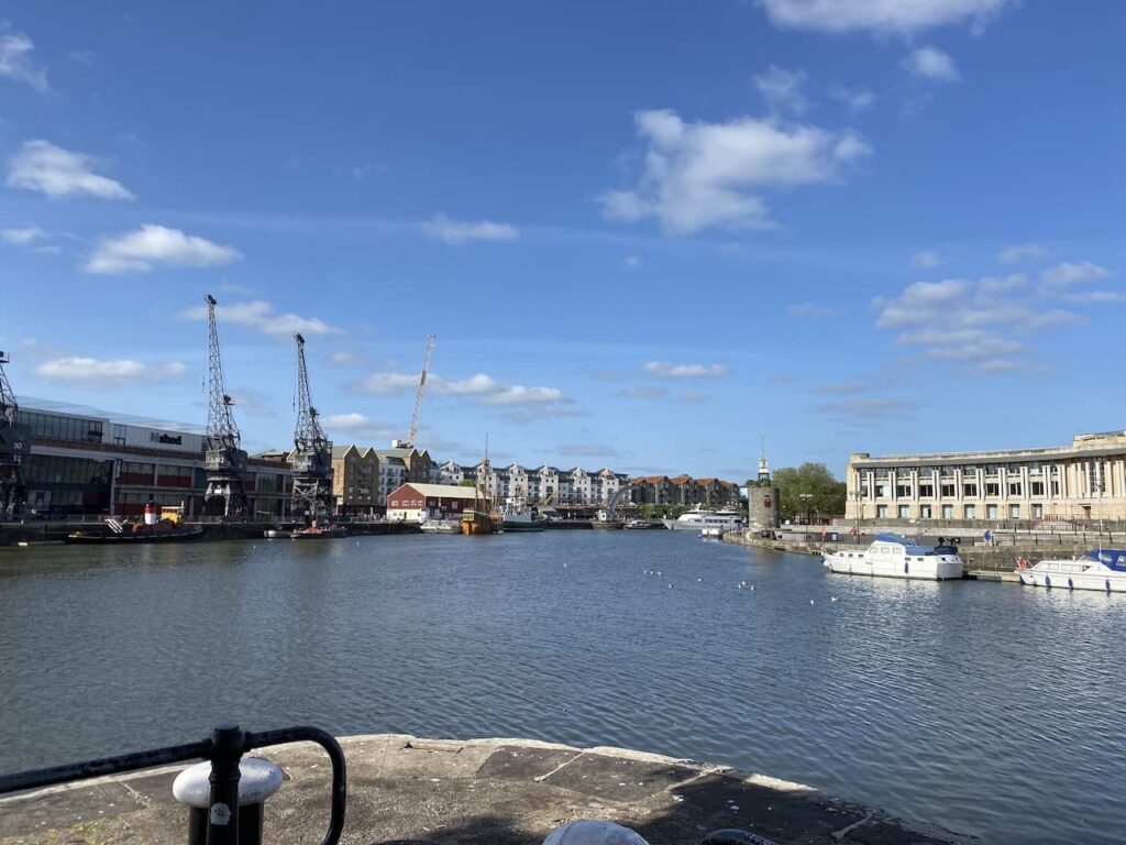
I start by heading to the harbour waterfront. Built around the River Avon it was once the heart of Bristol Docks which was a major trading port. Amongst other cargos tobacco was off loaded here and Bristol was the location of the W.D. & H.O. Wills tobacco company which later became part of Imperial Tobacco. My great grandfather spent a period of his life working in the Wills tobacco factory.
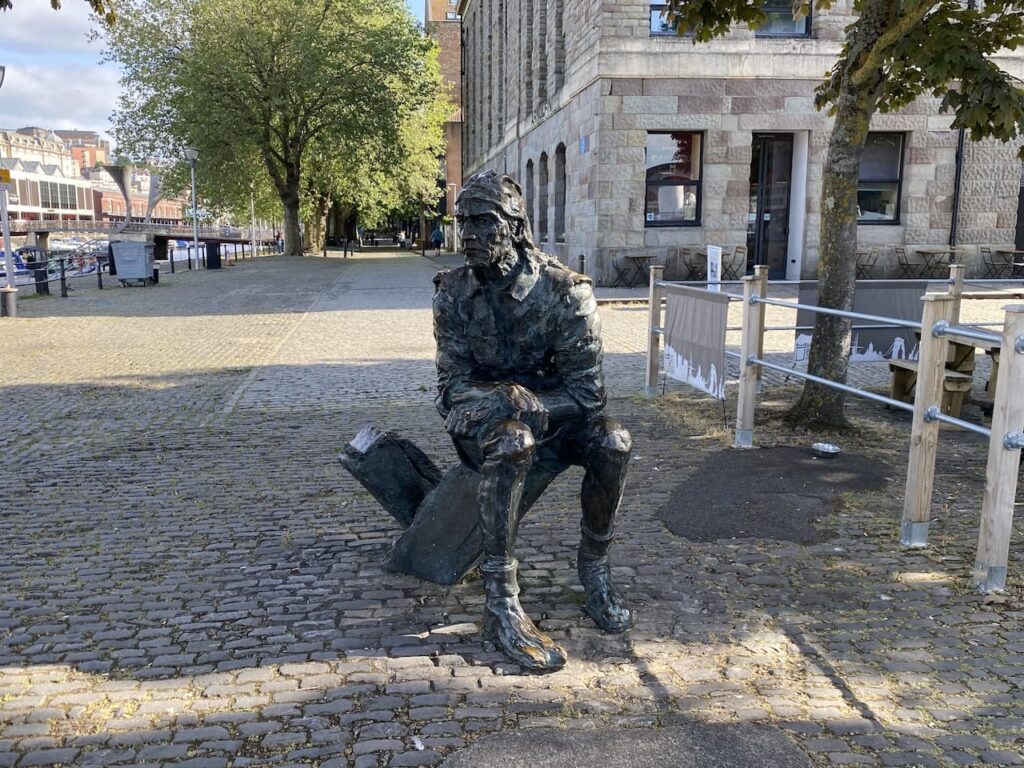
Around the waterfront there are a number of sculptures, one is of John Cabot (1450-1499) or to give him his Italian name Giovanni Caboto. Clearly there is a flaw in my historical knowledge because I hadn’t previously heard of Cabot. I had no idea that he is the earliest known European explorer if you disregard a trip by the Norse in the 11th century, to visit the North American coast. His expeditions were commissioned by Henry VII and all started from Bristol.
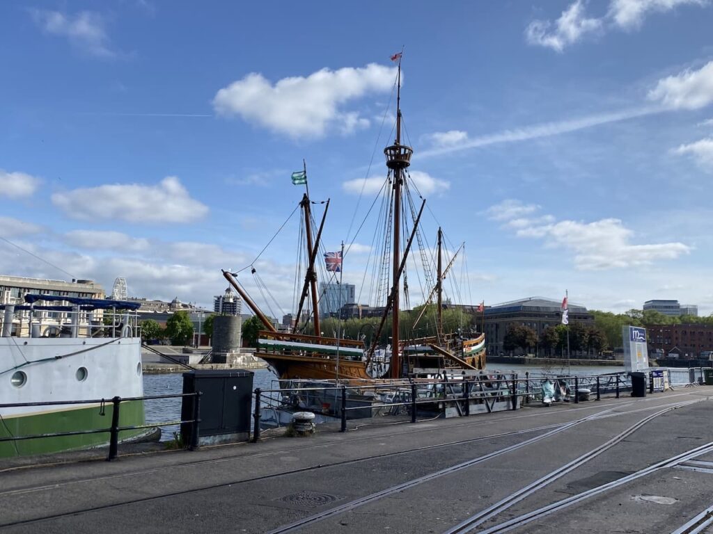
To mark the 500th anniversary of Cabot’s explorations a replica of his ship Matthew was produced and is moored in Bristol Docks.
I could easily spend the whole day just wandering around this dock area and looking at the historical sites but I need to press on because I have about twenty miles to cover to reach Clevedon.
I am on the south side of the Floating Harbour and have joined the River Avon Trail, this leads me past an engine and carriages of the Bristol Harbour Railway. Originally the railway had over five miles of track and served the docks but it closed to commercial traffic in 1964. In 1978 the Bristol Industrial Museum re-opened about a mile of track and still runs it as a heritage railway.

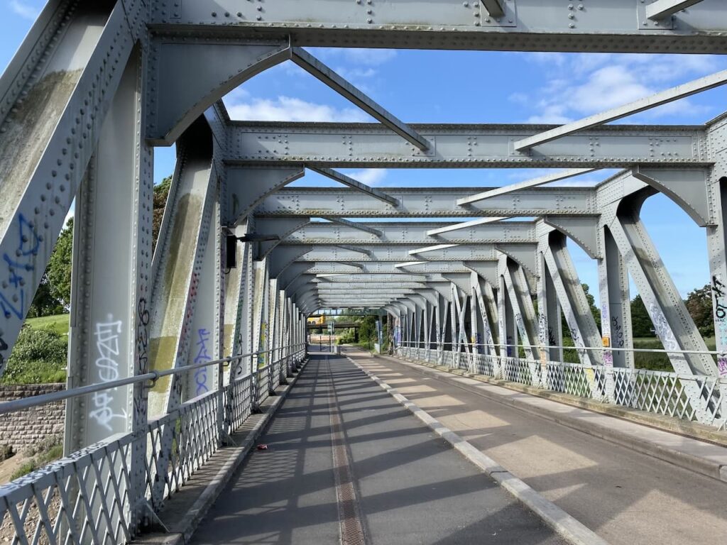
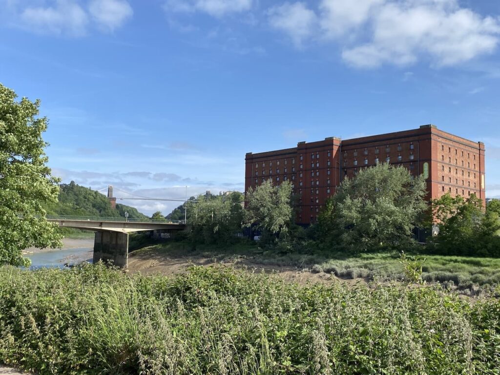
Just before reaching the site of the SS Great Britain I leave the dock and turn left into Gas Ferry Road and then on reaching Cumberland Road I turn right and follow this to reach Ashton Avenue Bridge. This bridge over the Avon was built in 1906 as a road and rail bridge which enabled the Bristol Harbour Railway to connect to the Great Western Railway network. The connection to Bristol Templemeads closed in 1964 and the rail track was lifted. It has now been created as a shared bridge for pedestrians and cyclists on one side and buses on the other.
On my way to the bridge I passed a couple of former bonded tobacco warehouses and I get a good view of these after crossing the bridge.
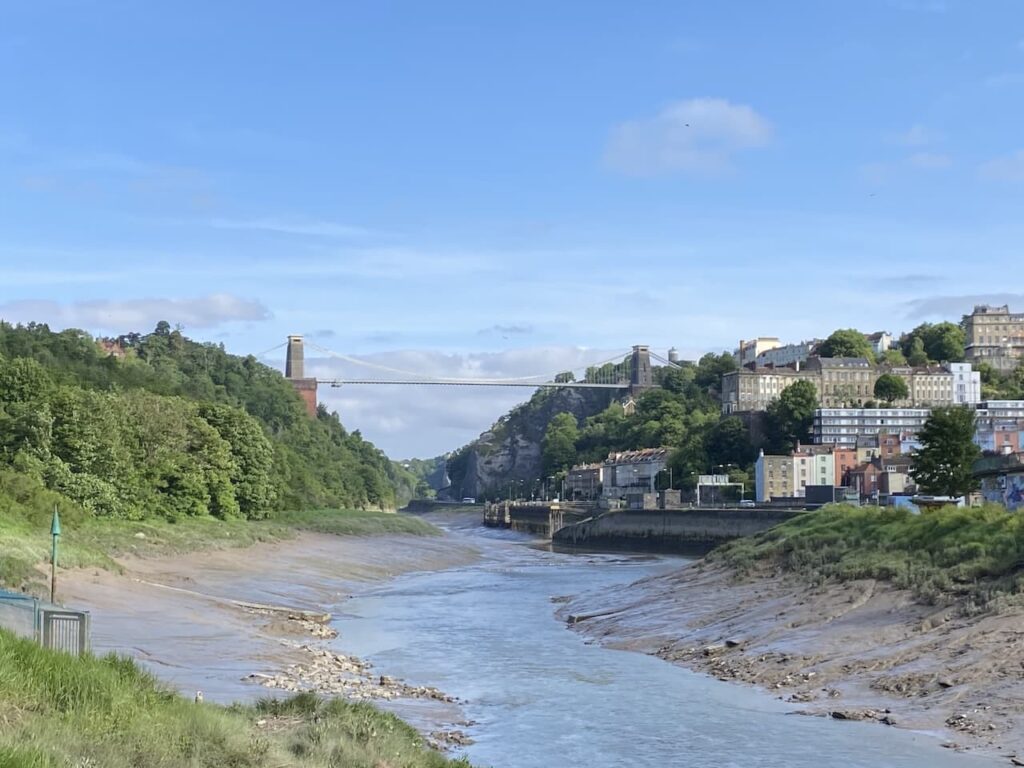
Now heading along the south bank of the River Avon I get a fine view of the iconic Clifton Suspension Bridge. After winning a competition for the design of the bridge Isambard Kingdom Brunel started construction in 1831, however the Bristol Riots or Queen Square Riots of 1831 put a halt to construction. The riots took place after the House of Lords rejected the second Reform Bill aimed at getting rid of Rotton Borough’s. At the time about 6,000 of the city’s 104,000 population were entitled to vote.
Brunel died in 1859 so did not live to see the completion of his project. After his death William Henry Barlow and Sir John Hawkshaw revised the plans and completed the construction in 1864.
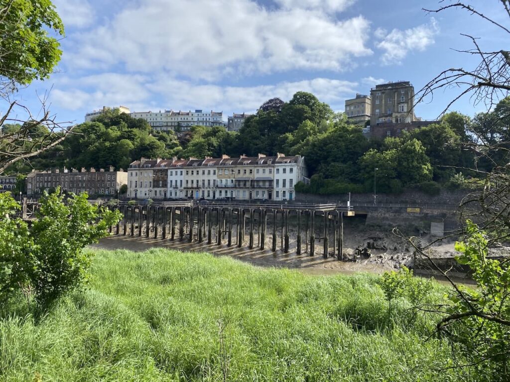
I am going to stay with the River Avon Trail for another six miles so it willbe easy to navigate alongside the river. On the far side is the former Hotwells Docks. At one time this was a major wharf but with the creation of the floating harbour and the docks at Portishead and Avonmouth this tidal stretch of the river became less attractive as a place to dock.
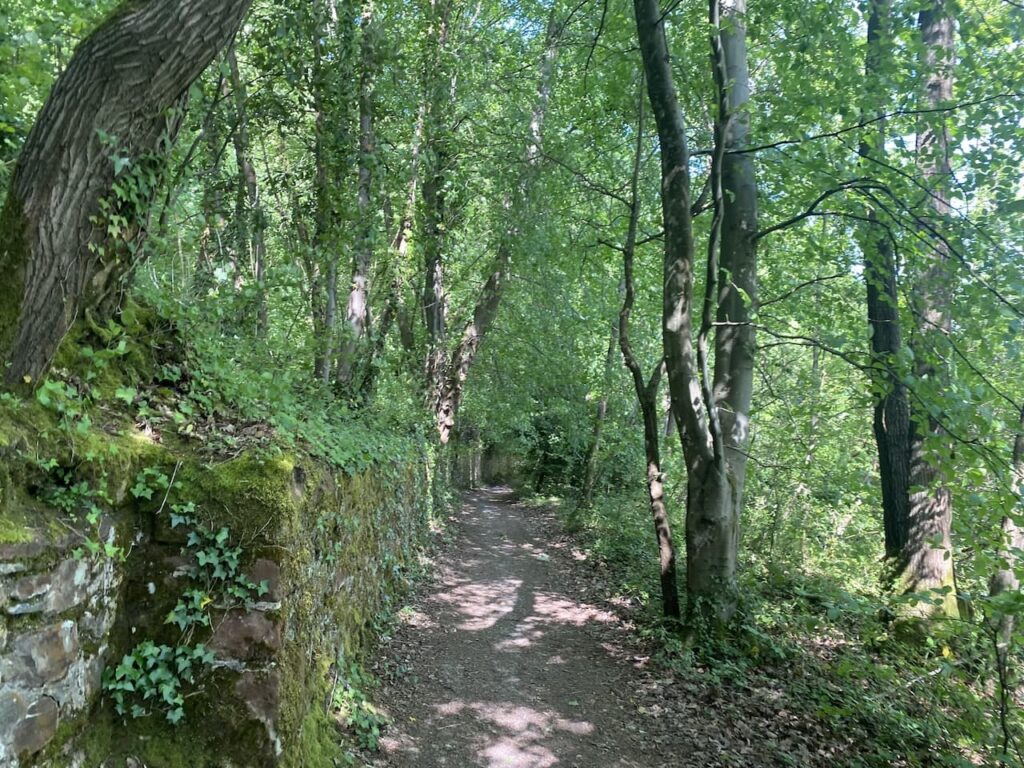
This is a pleasant path as it heads through the impressive Avon Gorge and passes under the suspension bridge. It is low tide and it is clear to see why ships needed to wait for high tide to enter or leave the docks in Bristol.
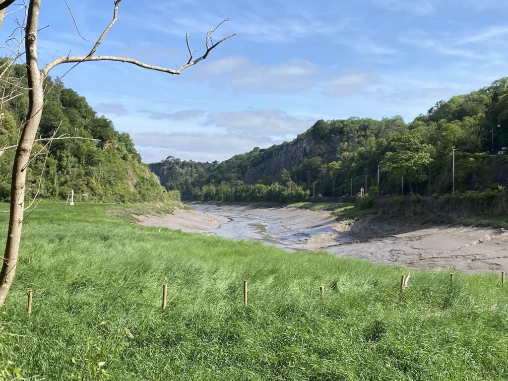
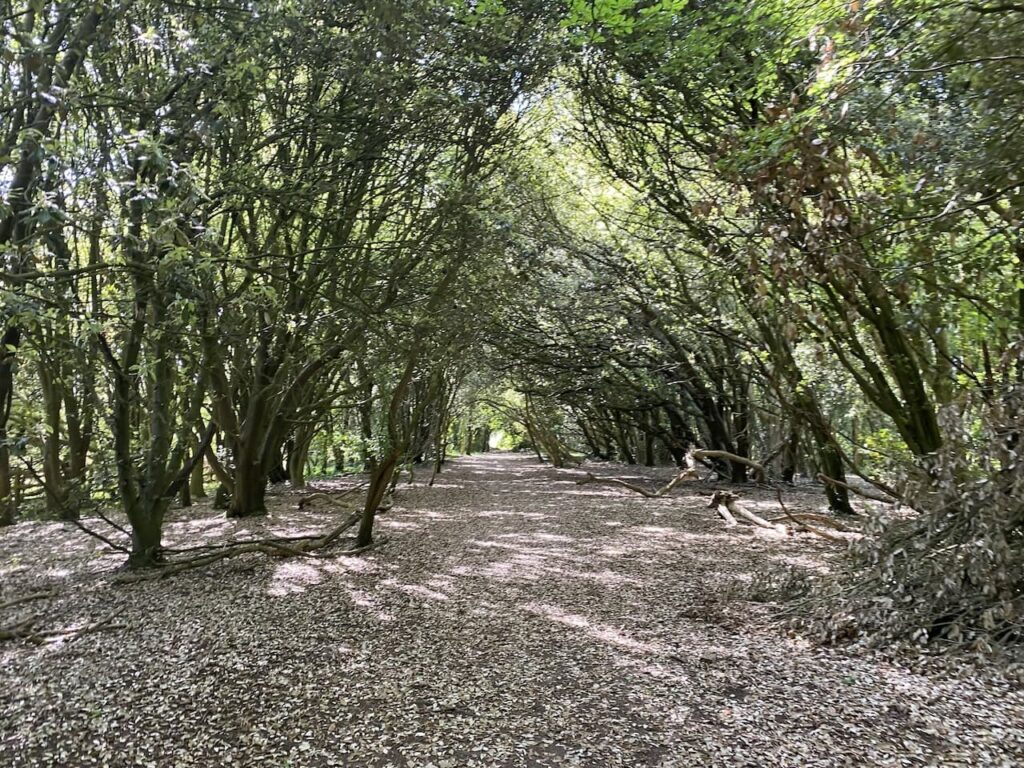
It is a warm sunny day so the shade from the trees along the path is very welcome.
Soon after leaving the shade of the woodland on the opposite side of the river is Sea Mills this is the point where the River Trym joins the River Avon. This was once the location of the Roman Settlement Abona which is thought to have served as a sea port and was abandoned in the 4th century.
The route now goes around Horseshoe Bend, this was a notorious stretch of the river known for being treacherous to navigate. In 1874 the Kron Prinz ran aground and stuck fast in the mud. As the tide went out the boat toppled onto her side and the river was blocked for several months whilst a salvage operation was conducted.
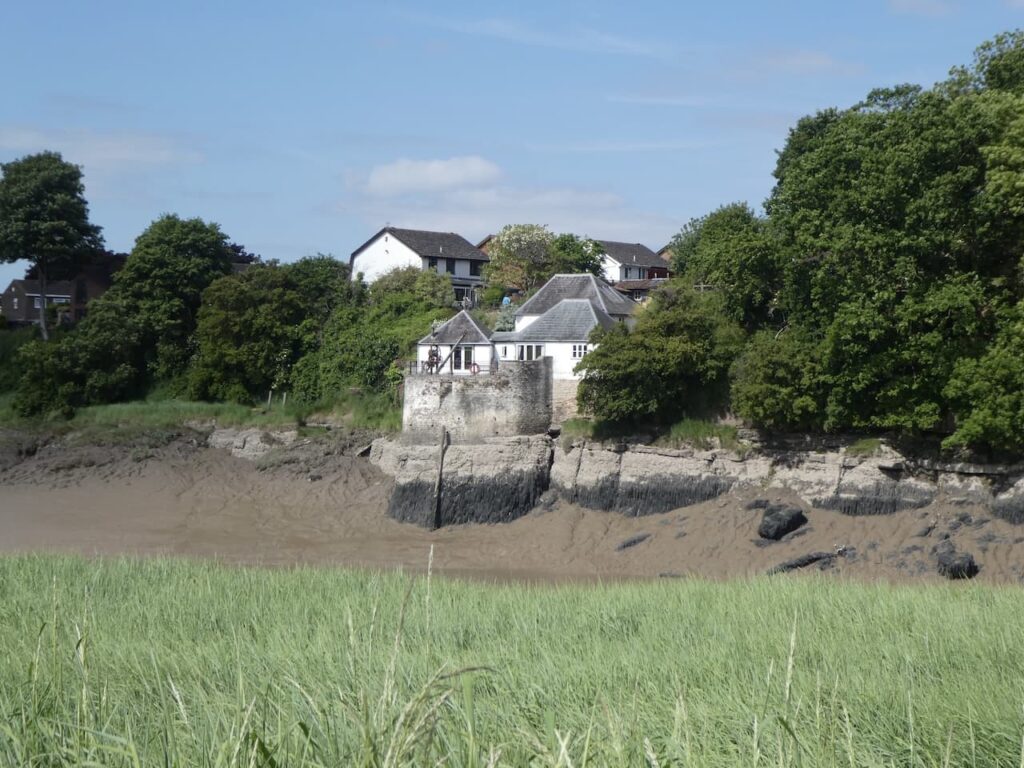
Just around the bend is the Old Powder House, apparently this was the point where gunpowder and other inflammable material was off loaded before vessels entered the port of Bristol.
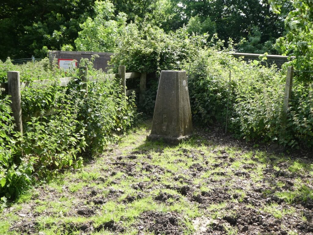
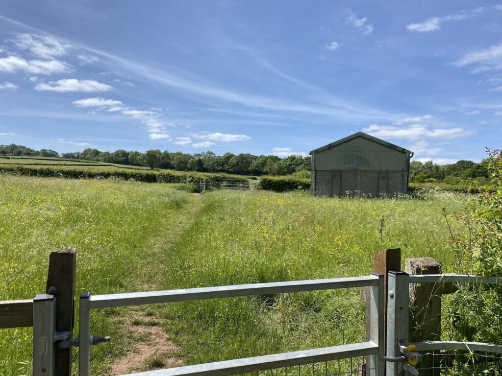
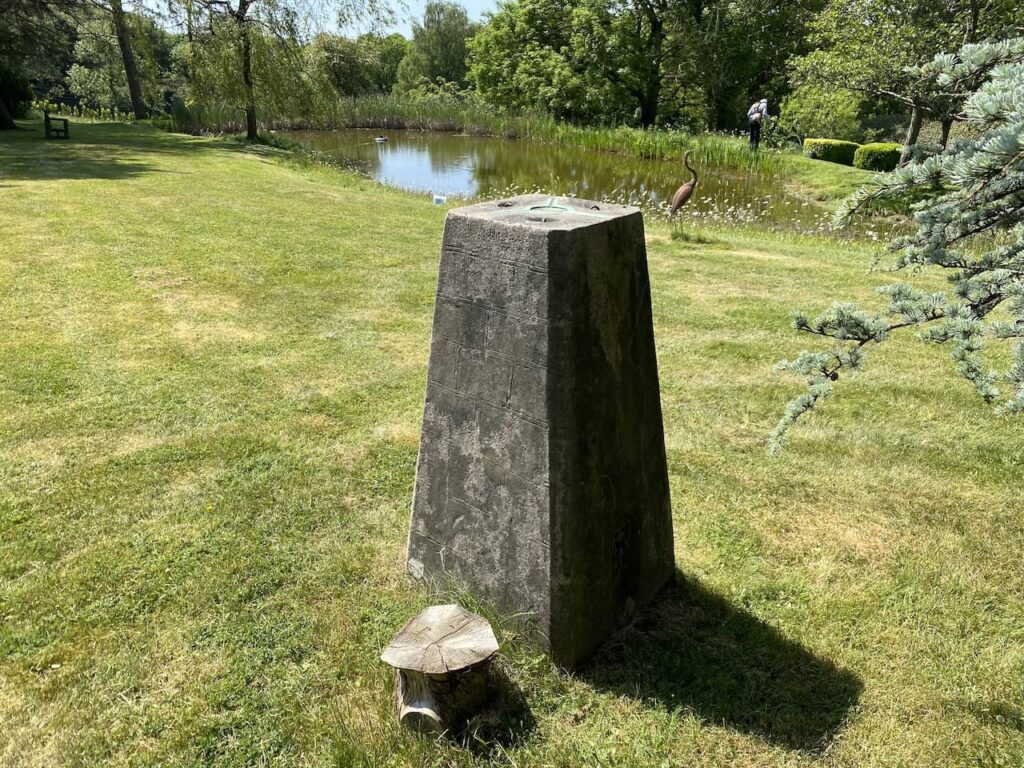
Now the path leaves the bank of the river and heads inland to go around Chapel Pill Farm. After passing a metal gate I briefly leave the trail to take a quick walk up the concrete Chapel Hill Lane to bag the OS Trig Pillar at the top of the lane. This is the 379th trig I have bagged.
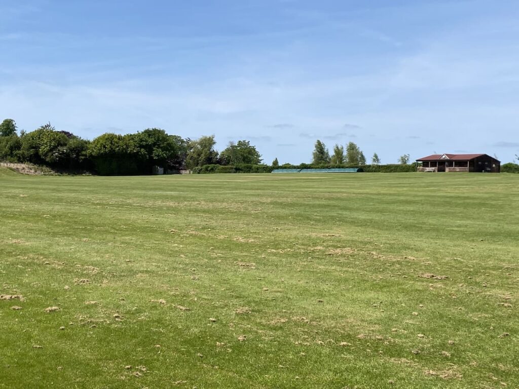
Back on the River Avon Trail I soon pass the attractive Ham Green fishing lake.
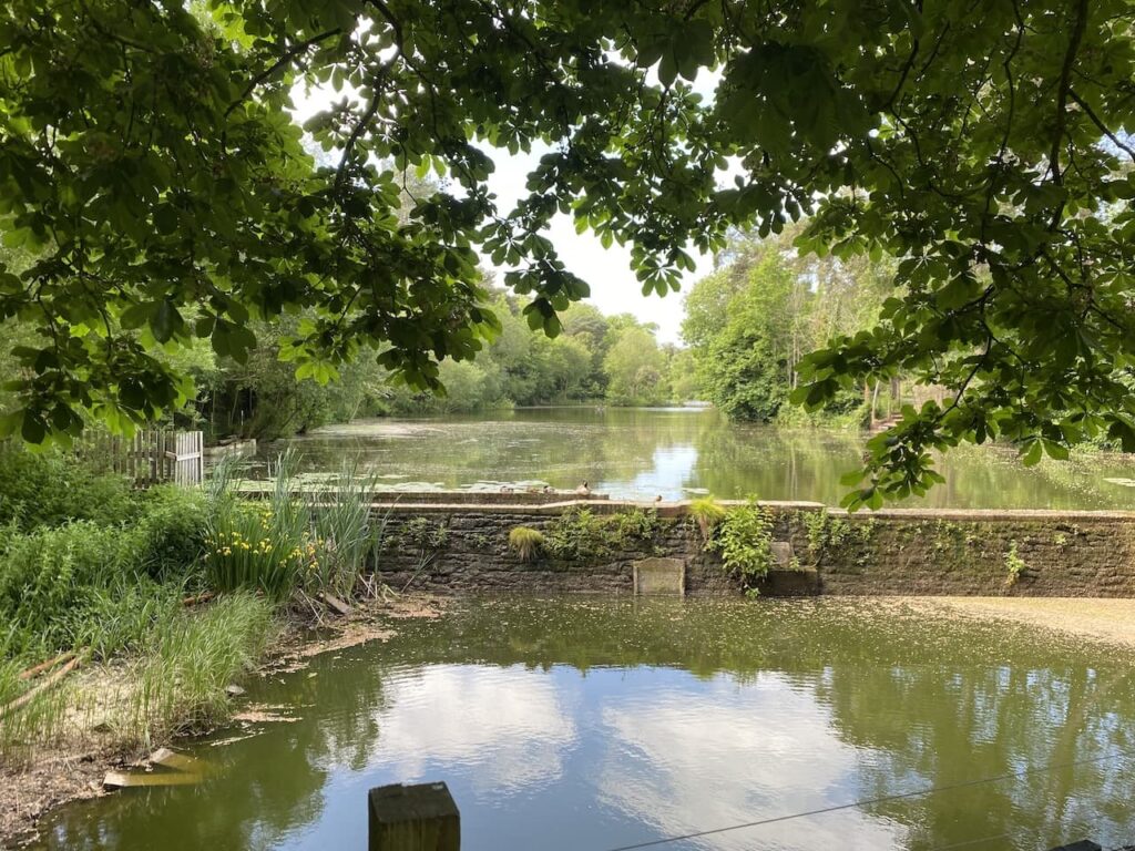
Continuing along the lane I pass the entrance to Ham Green Hospital, this was originally Ham Green House. It was purchased in 1894 by Bristol Corporation to tackle smallpox and typhoid outbreaks. Its location by the river meant those arriving on ships thought to be infected with these diseases could be transported here for treatment rather then risking a wider outbreak in the city.
It later became a centre for the treatment of Scarlett Fever and Diphtheria and then in the 1930’s became a sanatorium for the treatment of tuberculosis. In 1974 it became the first hospital in the country to have a dedicated unit for the treatment of chronically sick children. Prior to that children were treated in geriatric wards as I well remember from being on such a ward after having my tonsils removed in the mid 1960’s!
I now follow the way markers to head over a recreation area on Watch House Hill.
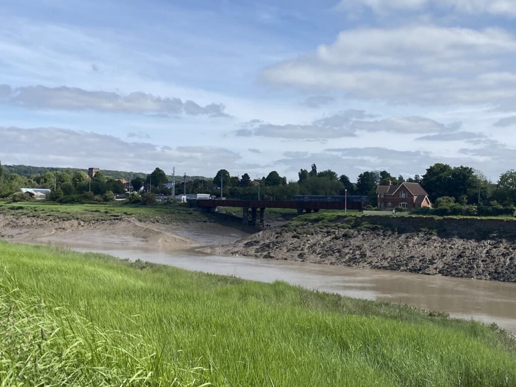
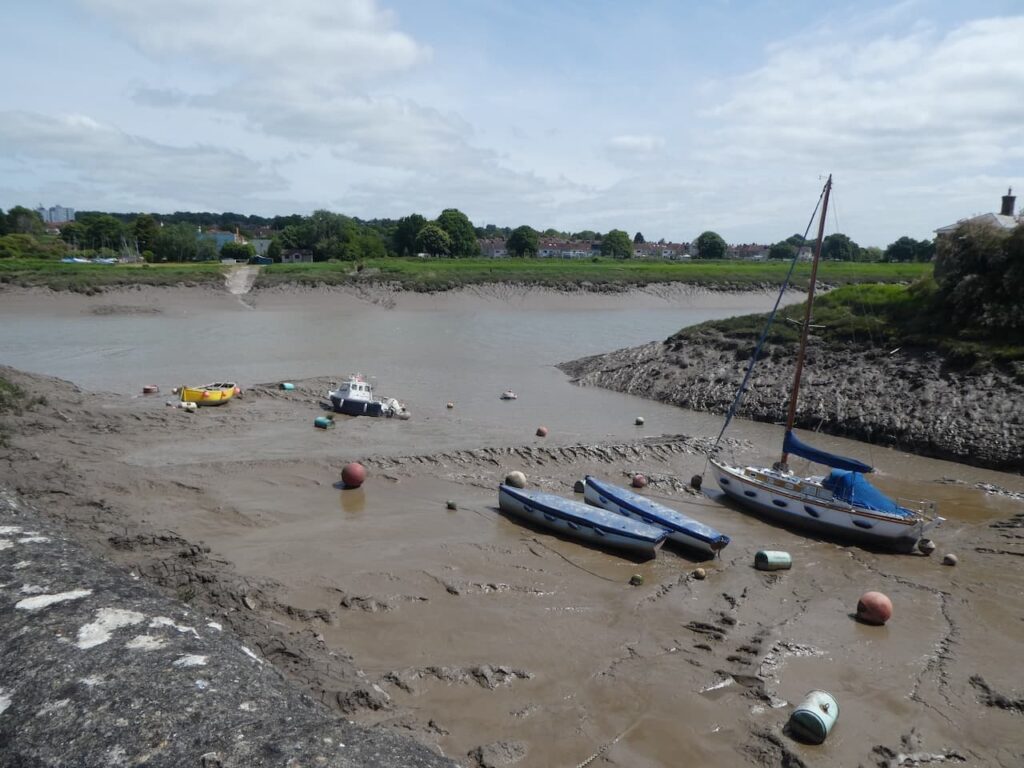
From the hill the path descends to reach the harbour at Pill. This harbour is also known as Crockerne Pill, because from 1100 to 1250 it was the place where pottery produced at the Ham Green Pottery was exported.
Pill was famous for the skill of its pilots, they had detailed knowledge of the tides and currents along the River Avon from the Bristol Channel and would guide ships to and from Bristol a journey that could take as long as a week because of the rising and falling tides. When the tide ebbed boats needed to be moored securely so they could rest safely on the river bed.
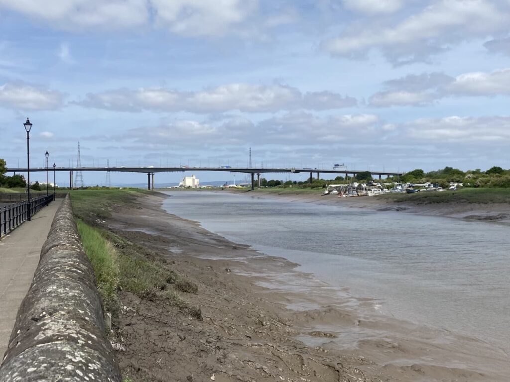
I have now reached the end of the River Avon Trail. My route continues along a path heading towards the Avonmouth Bridge which carries the M5 over the River Avon.
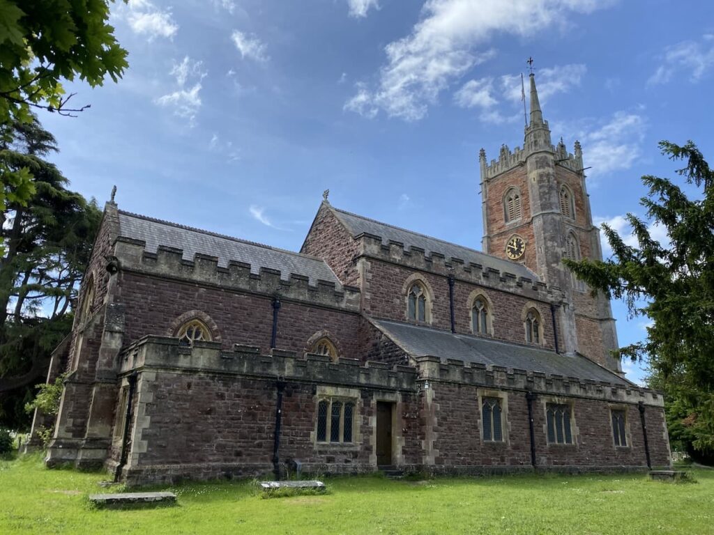
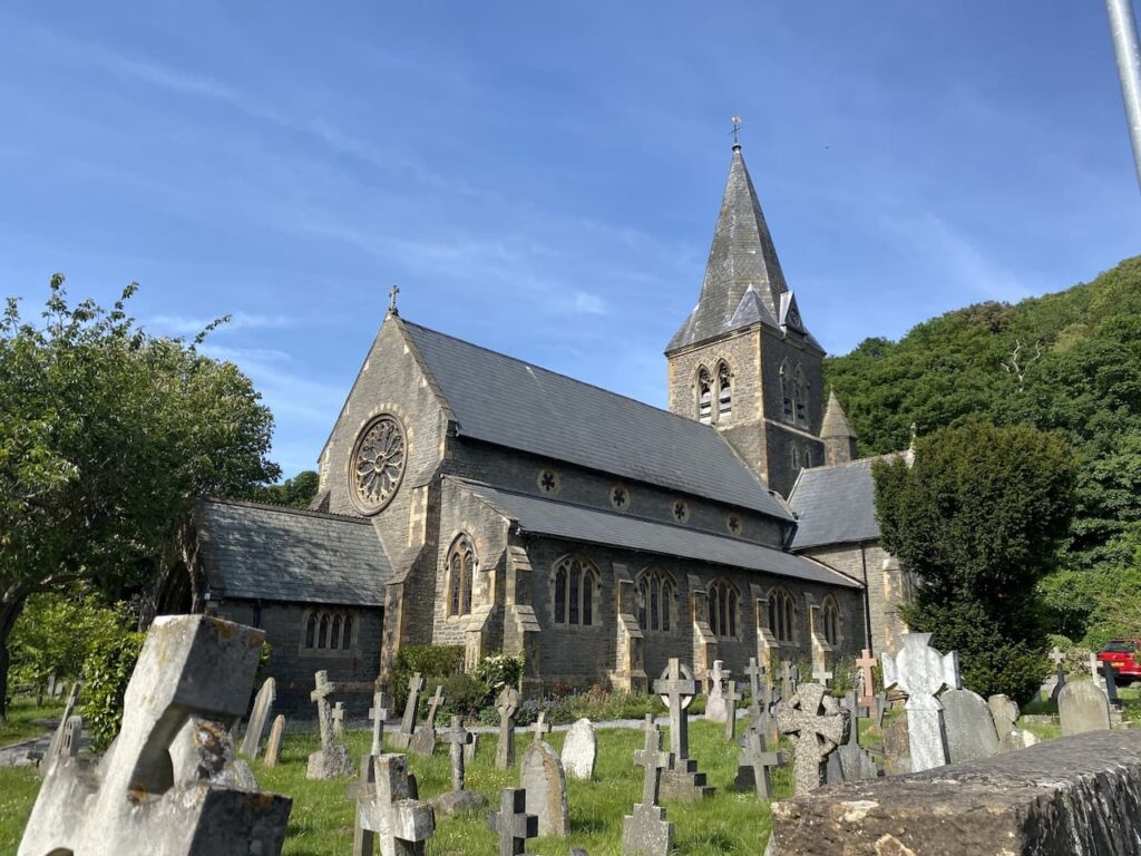
After passing the last house I turn left and follow a path marked towards Lodway. This heads steadily uphill passing houses and going under the Portishead railway line and then continues through a residential street to reach St George’s Church at Easton-in-Gordano.
Records of a church on this site go back to 1230 but it was rebuilt in the 14th and 15th centuries with another rebuild in 1872 when the current church was built around the old tower.
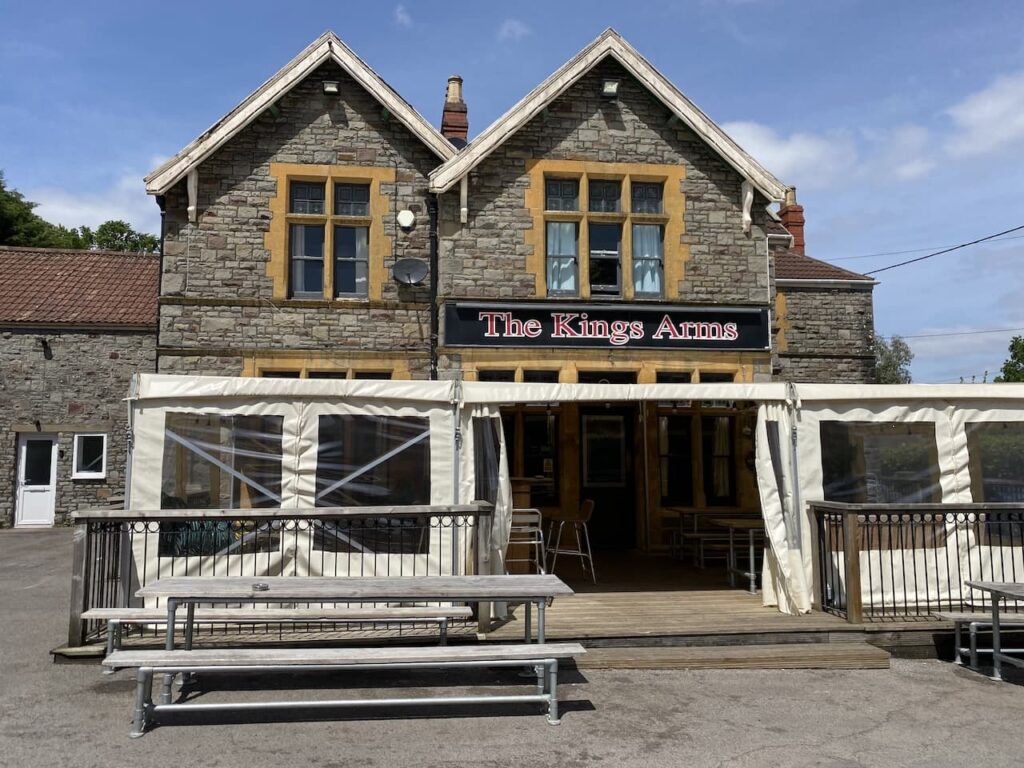
It is a warm day and I stop in the churchyard under the shade of a tree for some lunch and refreshments. Resuming my walk I soon reach a junction where I turn left and walk up Church Lane until I reach a junction and the Kings Arms pub.
Turning right to pass the pub I follow the road uphill, the road is a dead end leading to a short footpath, which emerges on to a main road thatI cross with care and then take the footpath opposite leading across fields to woodland.
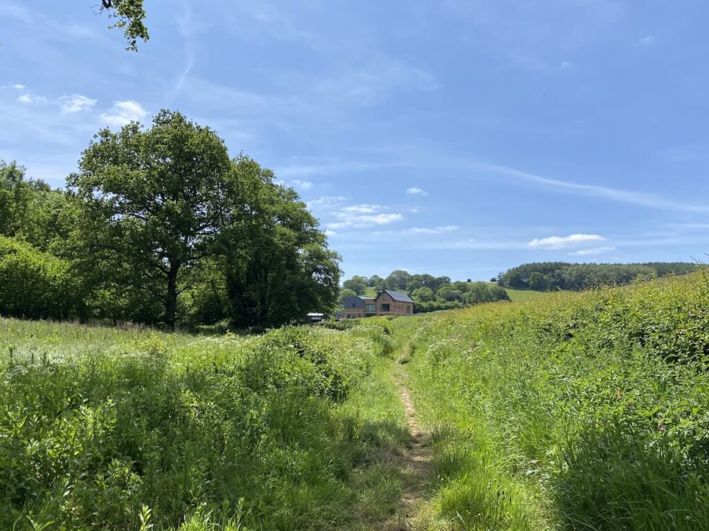
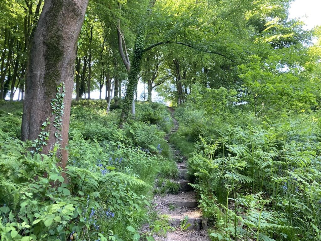
The woodland is a local nature reserve and the path soon leads through woodland at the bottom of a Valley. I am now on the route of the Gordano Round this is a 26 mile figure of eight walk which as the name suggests goes around Gordano. Emerging from the trees the path leads towards a newly built house which looks as if it might be a barn conversion.
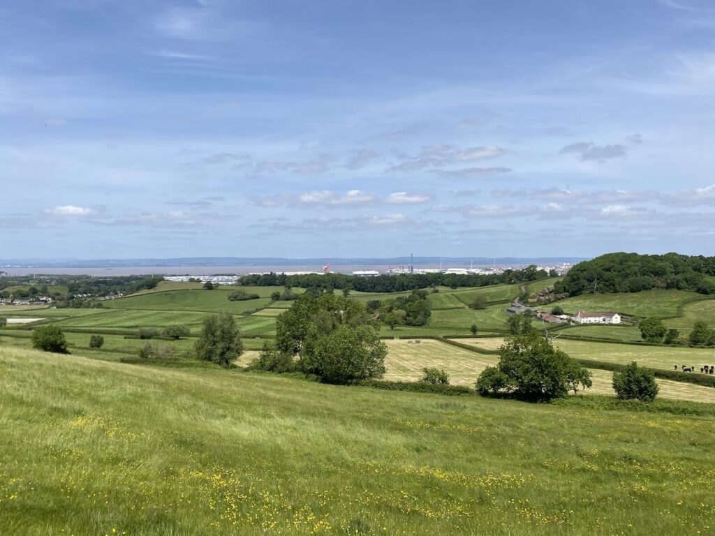
Near the house I join a track, Coombe Lane, and follow this to just after a driveway to properties where I take a footpath on the left which goes over a field to reach Failand Lane which I cross and to go through a kissing gate following the route of the Gordano Round as it heads across fields with views of the Bristol Channel to my right.
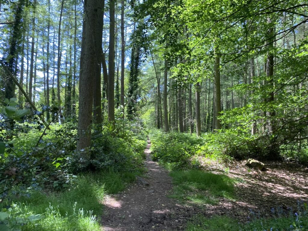
The path enters woodland and the shade is very welcome as it is now a very warm afternoon.
Leaving the trees of the woodland I go along the edge of the field and then reach a minor road which I cross and continue on the footpath opposite which goes through a copse and across fields to reach playing fields of the Downs Prep School.
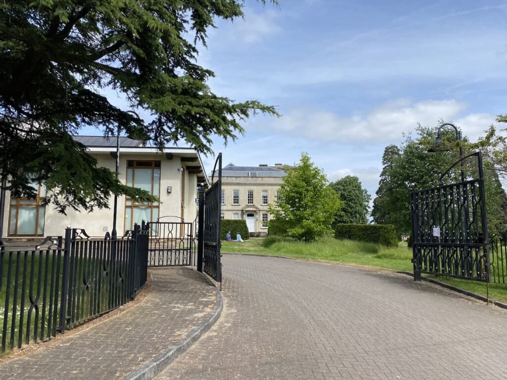
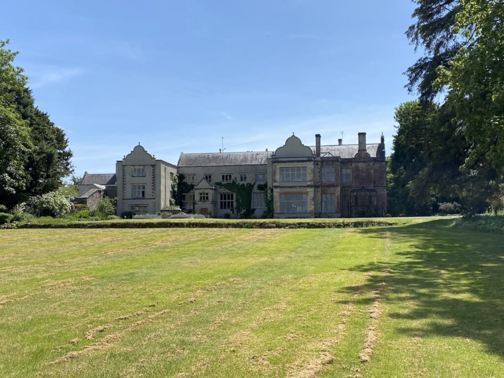
This school was originally located on the Downs in Bristol but moved to this side of the River Avon in 1927. The main building, Charlton House, was previously part of the Tyntesfield Estate apparently the original building dates from the late mediaeval period. There were alterations in the early to mid 17th century and then further extendsions between 1877 and 1884.
Following the footpath around the school I reach Charlton Drive and turn rightt and then take a footpath opposite the Charlton Farm South West Children’s Hospice. I head across fields and then through woodland. The path descends to cross a stream and then ascends towards fields.
There is a bizarre sign on a high gate which indicates that I am on the edge of a zoo boundary. This is Noah’s Ark Zoo Farm. In 1995 the Bush family purchased Moat House Farm and converted the 310 acres from dairy farming to the creation of the Noah’s Ark Zoo Farm. Apparently the wide collection of animals include lions, tigers, elephants and giraffes, I only hope they are secure in enclosures because I am not certain the fence I am walking by would keep a lion or tiger in!
The footpath takes me under power cables, to the right is a view across the Bristol Channel.
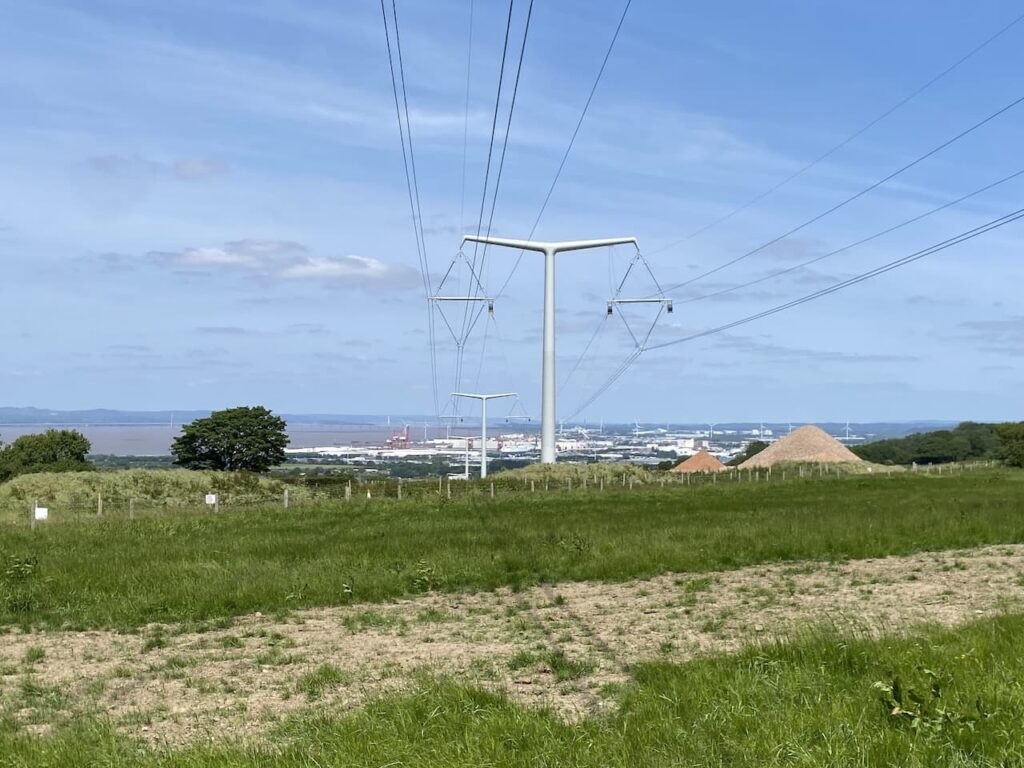
Soon after going under the power lines I reach Whitehouse Lane where I turn left and follow this to the junction with Cadbury Camp Lane. My route goes along this lane but first I continue along Cuckoo Lane with the hope of bagging the Ordnance Survey Trig Pillar at Wraxall. This trig sits in the back garden of a property, so involves knocking on the front door to seek permission to visit the trig. I am directed to the back garden and told to feel free to take pictures.
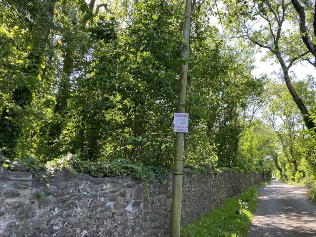
Having bagged my 380th trig I return to Cuckoo Lane and walk back to Cadbury Camp Lane and turn left to walk down this lane passing a number of large properties. There are numerous warnings that properties are protected by CCTV cameras so I sense that my progress down the lane is being recorded.
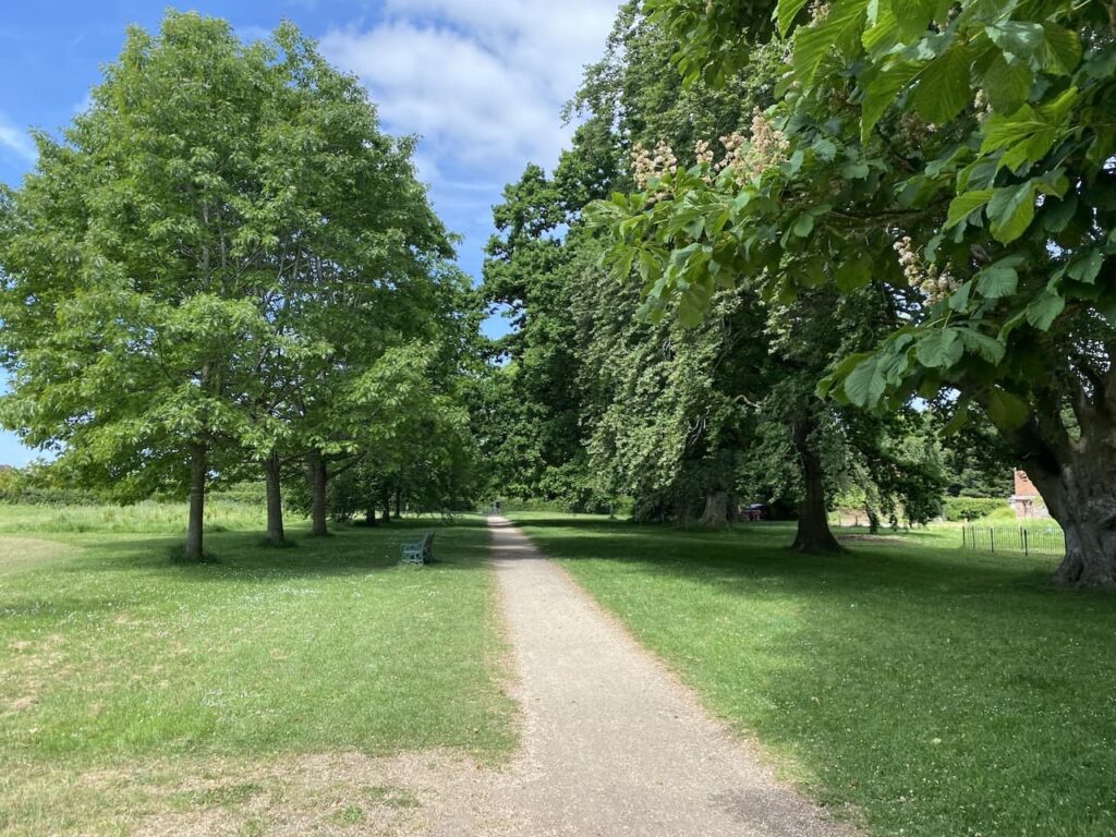
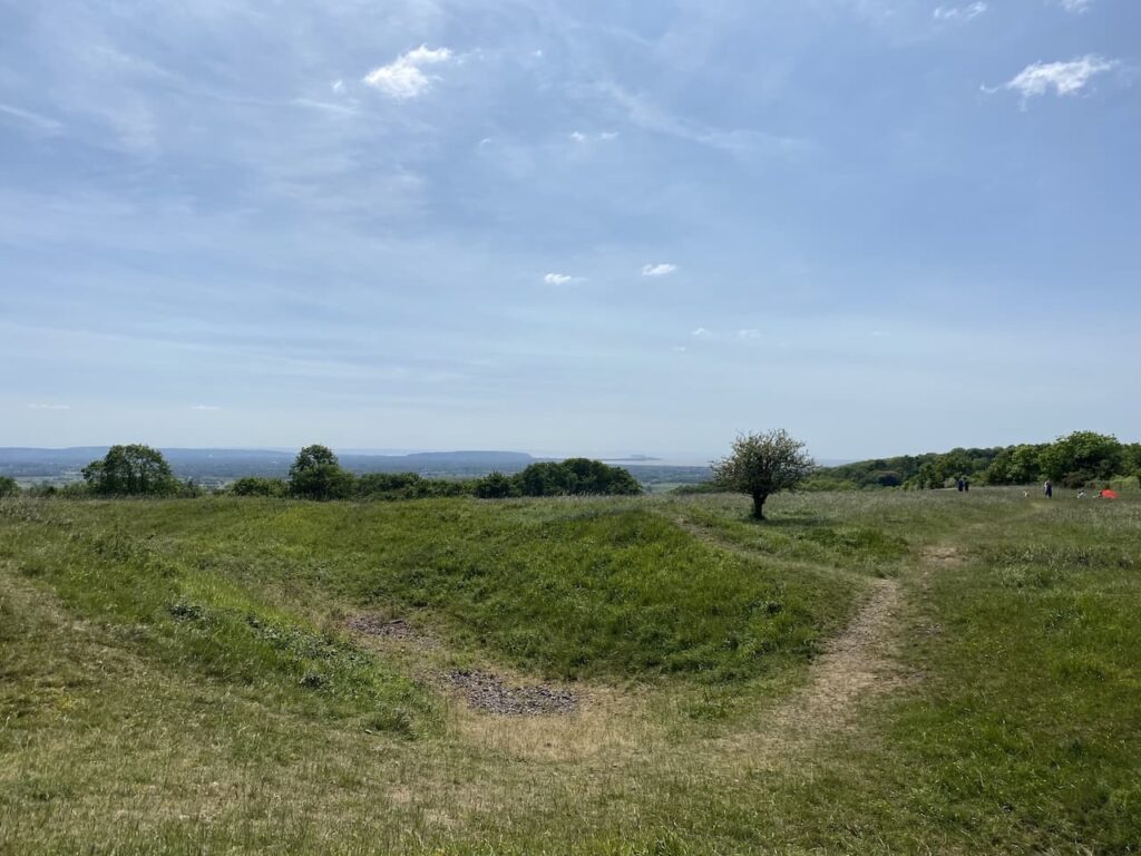
The lane leads to Cadbury Camp, this is a large Iron Age Hillfort with expansive views. Evidence has beenfound on the site suggesting there was also a Roman Temple herein the fifth and sixth century. During World War II the site was utilised as a searchlight battery seeking to locate enemy aircraft heading towards Bristol.
I follow paths through the camp descending steadily to rejoin Cadbury Camp Lane and follow this for just over 1km until I reach a footpath on the right which takes me across the M5 into woodland where I turn left and follow a path along the top of Court Hill.
I am still on the route of the Gordano Round, there are a network of paths here and the signage is not great but eventually I find the route that twists its way down the steep hill to reach All Saints Church in East Clevedon.
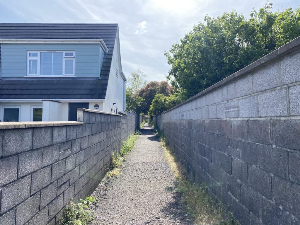
From the church I walk into East Clevedon turning left along the B3124 for a short distance and then turn right into Strawberry Hill. This lane passes houses and continues uphill through trees. At the top of the hill I take a path leading to a house where I turn left along Rippleside Lane as the road bends to the left I continue along a path between properties.
On reaching a road I turn left and then quickly take a right into Oak Park Road and follow this until I reach a footpath on the left which takes me onto Dial Hill where I bag my third trig of the day.
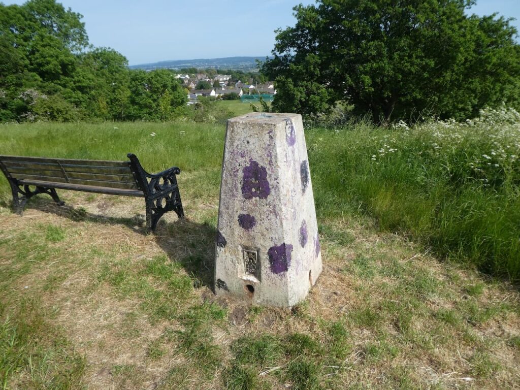
From the trig I follow the Gordano Round path into Clevedon.
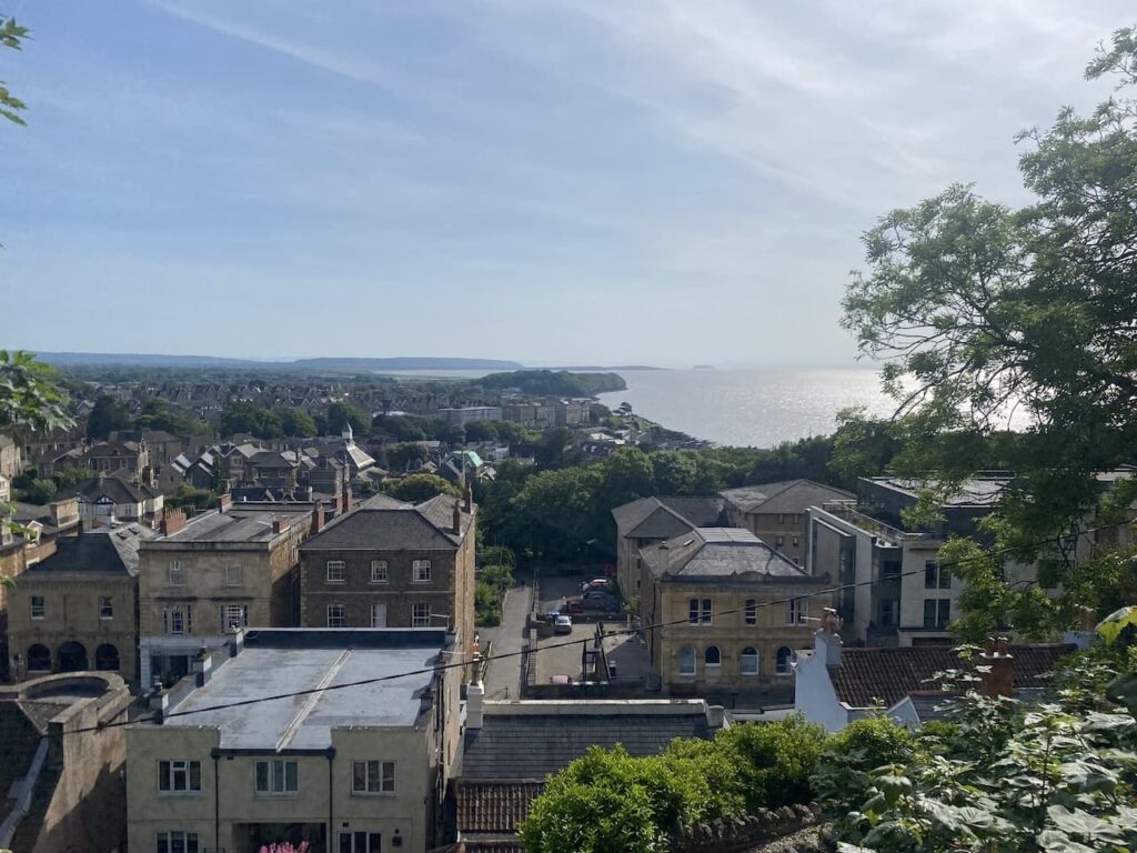
In the town I make my way to the pier on the seafront. This pier built in the 1860’s is 312 metres long. It opened in 1869 and served for almost 100 years as the embarkation point for paddle steamer excursions. In 1970 two of the spans collapsed and there was a proposal to demolish the pier, however the Clevedon Pier Preservation Society was formed in 1972. After a long battle the pier was taken apart in 1985 and taken to Portishead for restoration before being reconstructed in 1986, but it was not until 1998 that it fully reopened.
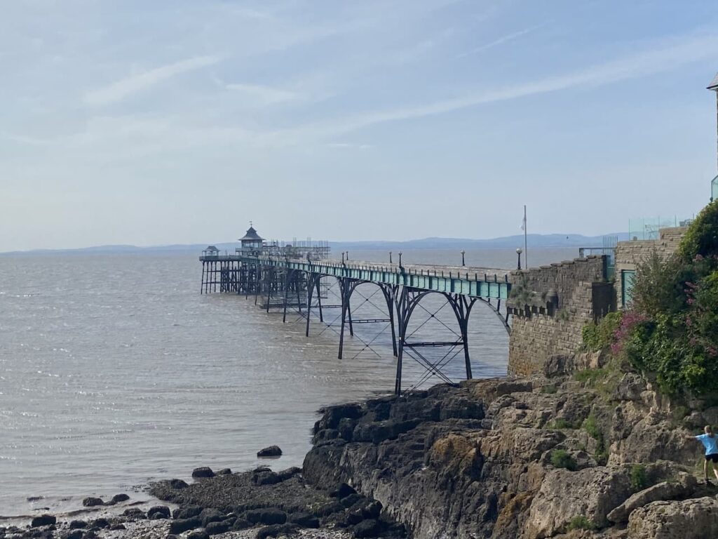
I had hoped to walk along the pier but I have arrived too late in the day so instead head to Walton Park Hotel which is my accommodation for the night. I have covered twenty miles today but plan an early night because I have over twenty-five miles of walking tomorrow.
To follow this walk you will need Ordnance Survey OS Explorer – 154 – Bristol West & Portishead
You can view this walk and download the GPX File on OS Maps (OS Maps subscription required)
29th May 2023
© Two Dogs and an Awning (2023)
All information on this site is provided free of charge and in good faith and no liability is accepted in respect of damage, loss or injury which might result from it. To the best of my knowledge the routes are entirely on public rights of way or within areas that are open for public access.
Walking can be hazardous and is done entirely at your own risk. It is your responsibility to check your route and navigate using a map and compass.