

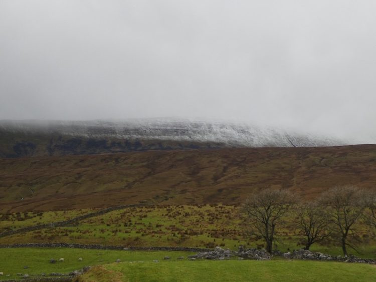
I am walking on my own again today and plan to ascend Whernside, a regular walk I undertake when we are in this area. Overnight we had some wintery conditions and as I drive towards Ribblehead Viaduct there is snow capping the peaks of Ingleborough and Whernside.
My starting point is from the roadside parking at Batty Green (Grid Reference: SD765793). I take the path towards the Viaduct.

After going under the arches of the viaduct I continue on the track through Gunnerfleet Farm and then carry on along the tarmac drive alongside Winterscales Beck heading towards Winterscales Farm.

At a junction of paths I turn left towards Ivescar and ignore the stile leading up the steep side of Whernside. From the track there is a view of the snowy summit of Whernside shrouded in cloud.
After passing a farm at Ivescar I continue across a couple of fields.
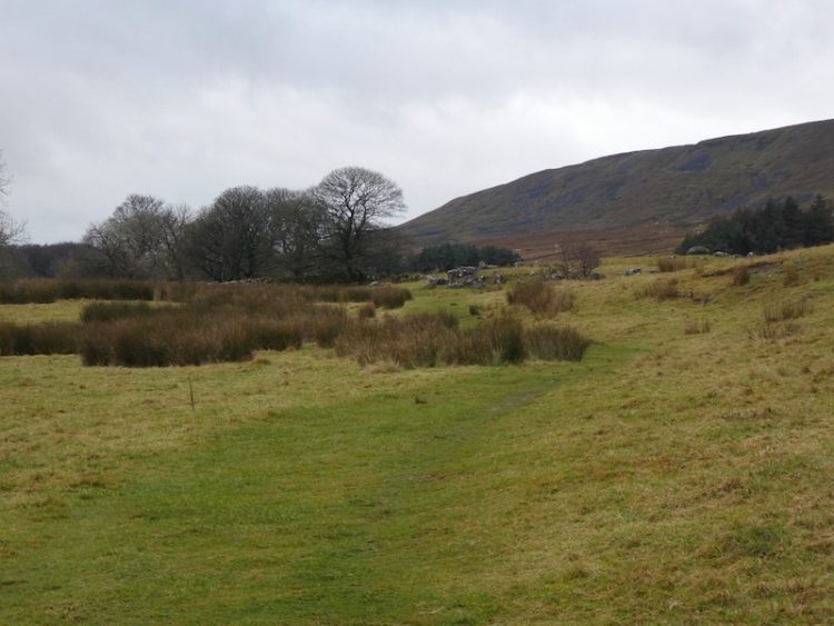
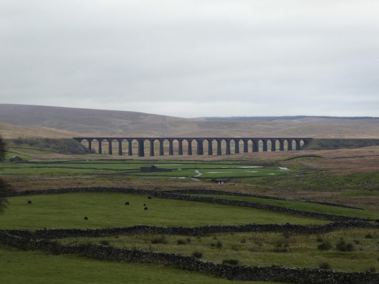
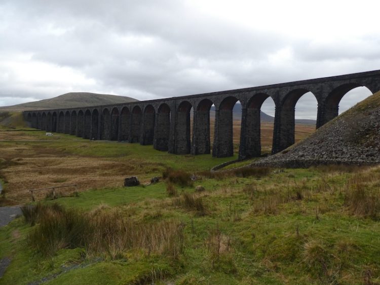
After going through Broadrake I head across another field, from here there are cracking views of Ribblehead Viaduct.
I turn right at Bruntscar joining the Three Peaks path heading towards Whernside.

This is initially a steady upward route, with the occasional steeper section. It is only after passing through a gate that the really steep climb is encountered. This year a lot of work has been done on this ascent and new steps have been put in, but it is still a tough climb to reach the ridge.

Once on the ridge I turn right and follow along it, still upwards on the snow covered path through the low cloud.
Finally reaching the summit of Whernside I stop for the obligatory photograph, I have “bagged” this trig point many times, but it is the first time I have been here in the snow.
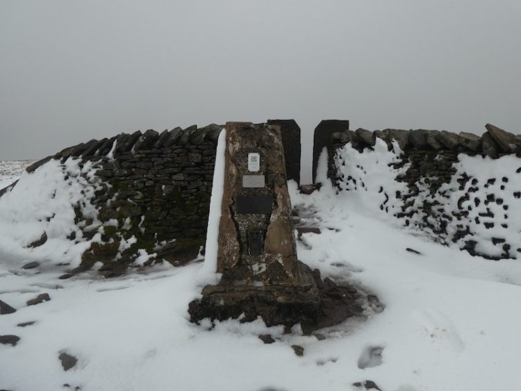
It is too chilly to hang around, at 2,415 feet above sea level with no protection from the cold wind I am soon continuing along the ridge.

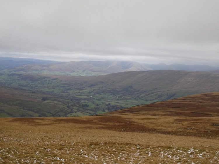
All of a sudden the cloud lifts and I get a stunning view of Dentdale.
I am now on my descent following the clear Three Peaks path.
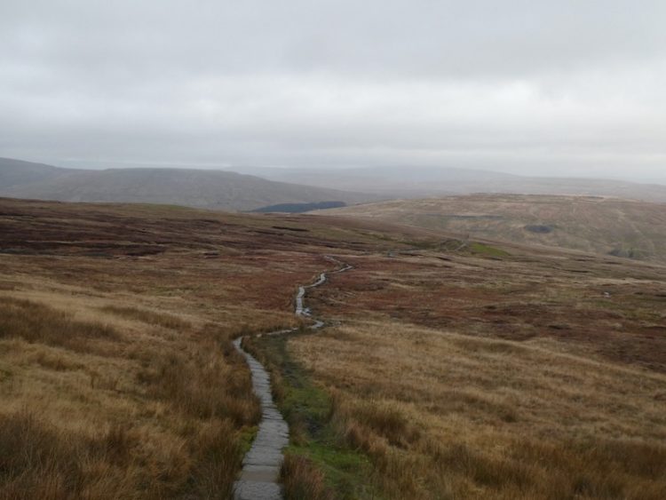
At the junction of paths I turn right to descend Slack Hill.

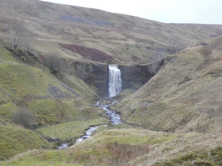
On reaching a gate I stop to admire the waterfall at Gill Force, the recent wet weather has swelled the volume of water flowing.
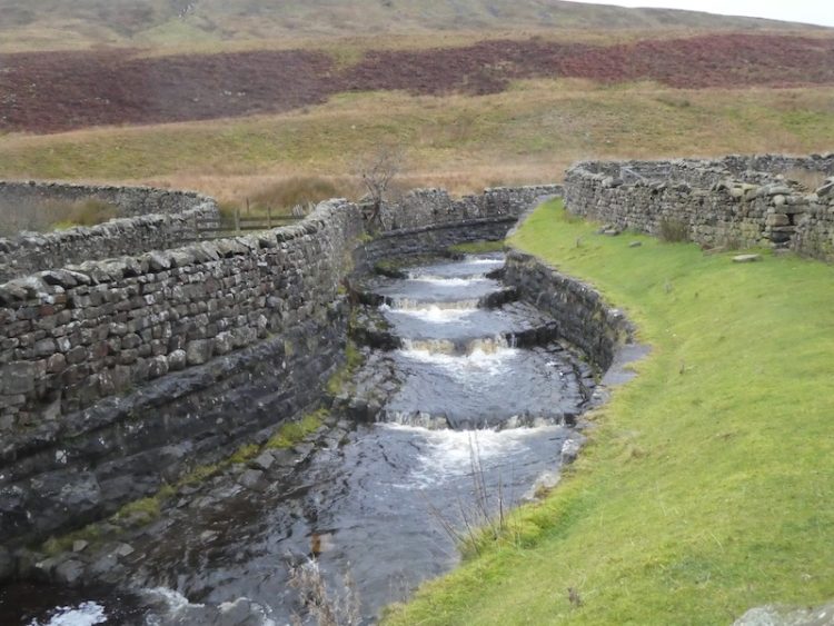
Soon after the path goes over the aqueduct at Blea Moor.
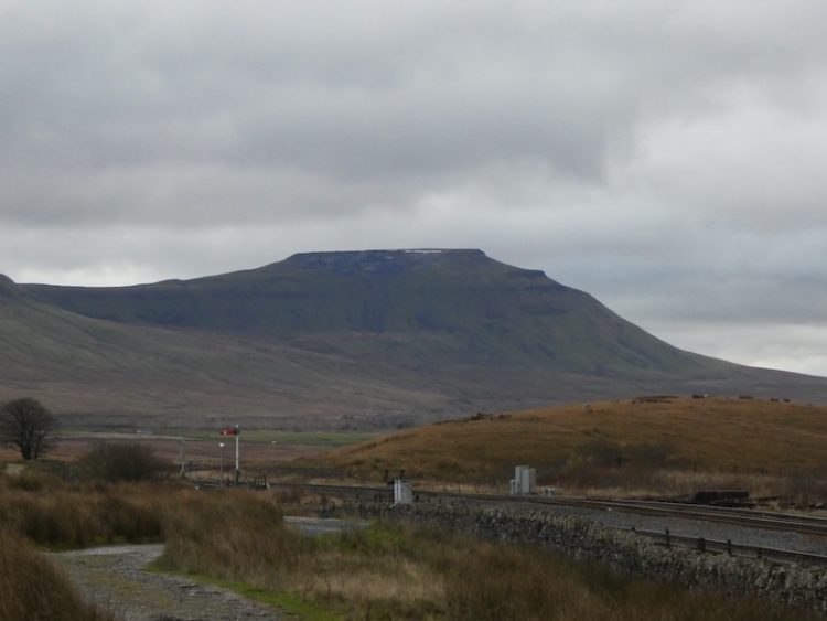
I follow the path with the railway on the right and go by Blea Moor signal box. In the distance in front of me is Ingleborough.
The clear path carries on towards Ribblehead Viaduct.
Now it is just a short walk back to my starting point.
This walk has covered 8 miles, I have walked this route a number of times, but this is the first time I have encountered snow.
[To follow our walk you will need Ordnance Survey Outdoor Leisure Map OL2 – Yorkshire Dales – Western Area]
You can view this 8 mile walk on OS Maps and download the GPX File Here (Subscription to OS Maps Required)
12th November 2019
© Two Dogs and an Awning (2019)