

After just under a week at home we are back in the caravan. Once again we have not ventured far from home and it takes us less than an hour to get to Wyndham Farm CL on the edge of the village of Silton which is just west of Mere.
It does not take us too long to get pitched up and whilst Lynnie sorts out stuff around the van I head off for a short walk with Crosby. These days Dexter does not travel with us in the caravan, he is too old to walk far and much prefers to stay with our neighbours whilst we are away.
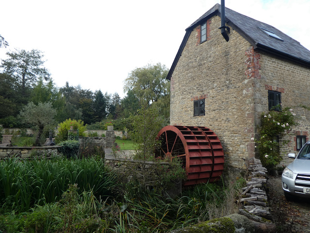
Leaving the site I turn left into Waterloo Lane and follow this towards Silton soon passing Waterloo Mill, apparently dating from 1815 it has been recently restored and sits beside the River Stour.
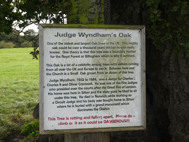
Soon I take a footpath on the right which leads through a kissing gate into a field and I follow this up to another field with a large oak tree in front of me. This is Wyndham’s Oak, said to be over 1,000 years old with a circumference of 38 feet apparently the greatest of any tree in the Country.
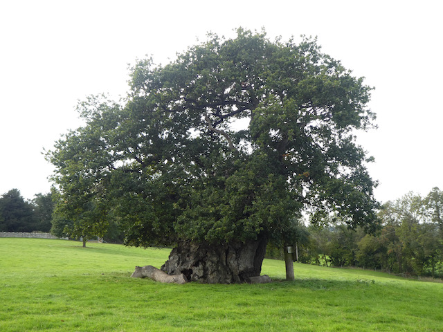
It gets its name from Sir Hugh Wyndham (1602 -1684). He lived an eventful life being appointed a judge of common pleas by Oliver Cromwell, he was imprisoned after the restoration of the Monarchy and later pardoned by Charles II. After the fire of London he was one of the Judges to sit as at the Fire Court which determined responsibility for payment of property rebuilding.
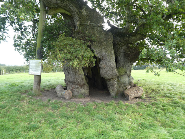
He lived much of his life in Silton and is buried in the village church. It is said that he spent hours sitting in the shade of this oak tree. As a result it is named after him.
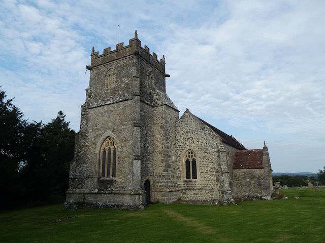
I continue across the field heading towards the church and after going through a gate turn left into the churchyard of St Nicholas’ Church, parts date from the 12th century but most of what is seen today is the result of a major restoration project in 1869.
I head through the churchyard and on reaching a road turn left to walk up the hill to pass Manor Farm with its fine barns.

As the road bends to the left I follow footpath along a track on the right and descend to pass an attractive old barn.

I now follow this track for just over half a mile to reach a barn and continue along the track to the B3081. The road is busier than I anticipated so I decide not to walk beside it, instead I turn around and retrace my steps along the track to return to the road in Silton. Now I turn right and follow the road downhill and then at a junction turn left into Waterloo Lane and follow this back to the caravan site at Wyndham Farm.
My walk has covered just over 3.5 miles and has been a pleasant introduction to the area. Now it is time to settle down with the map and plan tomorrow’s walk with Lynnie.
To follow my walk you will need Ordnance Survey Explorer Map 129 Yeovil & Sherborne
You can view this 3.5 mile walk and download the GPX File on OS Maps (OS Maps subscription required)
19th September 2020
© Two Dogs and an Awning (2020)
All information on this site is provided free of charge and in good faith and no liability is accepted in respect of damage, loss or injury which might result from it. To the best of my knowledge the routes are entirely on public rights of way or within areas that are open for public access.
Walking can be hazardous and is done entirely at your own risk. It is your responsibility to check your route and navigate using a map and compass.
Thanks for letting us look at your walk and interesting pictures! I’ve got a bit of a breathing problem so do you think that I would be able to go to the tree on foot, how far is it appropriately to walk on foot do you think it is please. Best wishes Richard.