

Lynnie has suggested that today I should take it easier having completed the clockwise route of the Three Peaks yesterday. I am broadly in agreement, but have in mind that I am nearing reaching 2,021 “boots on” miles in 2021 and want to make sure I achieve the target somewhere memorable.
One of Lynnie’s favourite spots in this area is Winskill Stones, it is a place we visit on every journey. The last time we went there we did a short circuit from Langclffe because Dexter was getting too old to walk far. Today we are going to walk from the caravan. Leaving Brigholme Farm CL we turn right and head into Settle and leave the centre of town via Constitution Hill and then continue along the tarmac narrow lane towards Langcliffe.
At the end of the lane we turn right and follow the pavement besides the B6479 for a short distance to reach Main Street where we turn right and wander into Langcliffe.
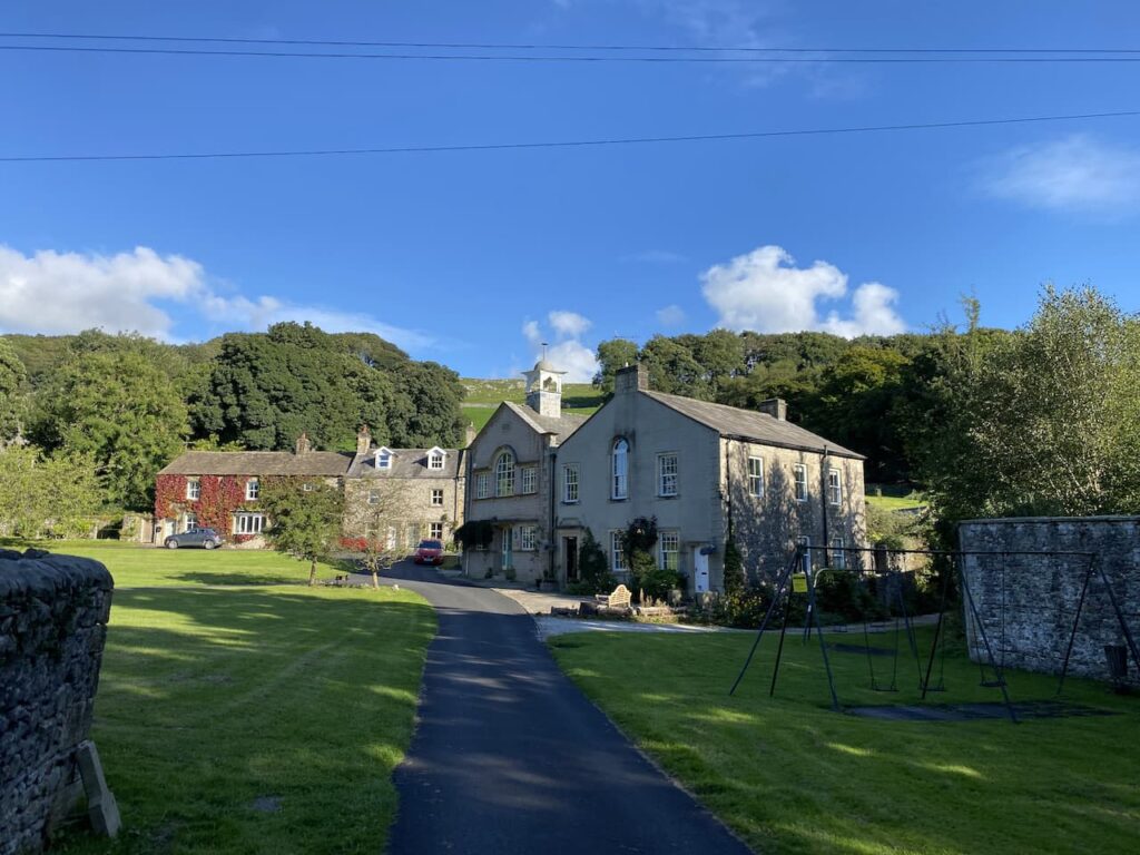
We have visited Langcliffe many times but I do not recall wandering around the green so we head across to the former Wesleyan Chapel. This was built in 1903 as an extension to the next door Sunday school which was built in 1852. The chapel and school building were converted into a private house in 2001.
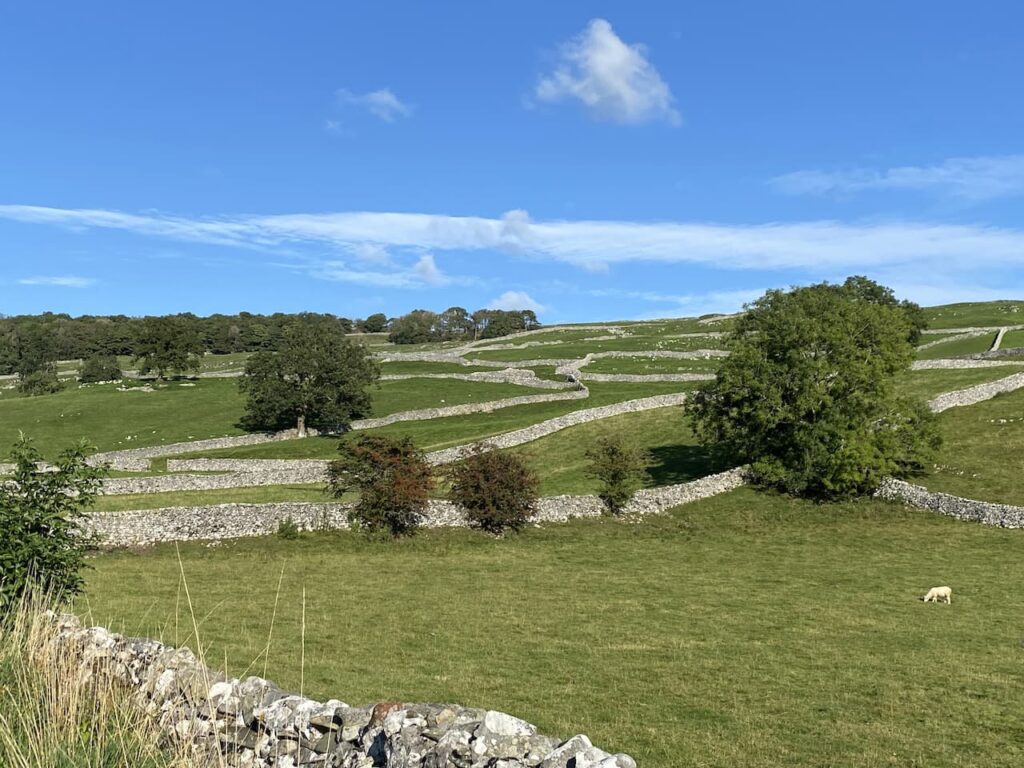
We continue around the green to pass the entrance to the church and then cross the road and go through a car park besides the former school and join Pike Lane and then continue along a walled track lane. The fields on either side of the track are a stunning patchwork of dry stone walls.
The path continues heading north towards the former Langcliffe Quarry. Reaching a gate we meet another walker, she is unsure of the route she needs to reach Stainforth. I explain the two options and she chooses to walk with us for a while until she reaches the path down to Stainforth.
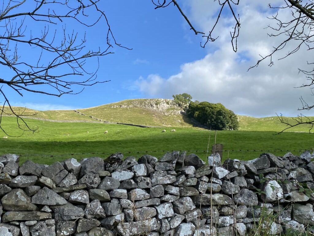
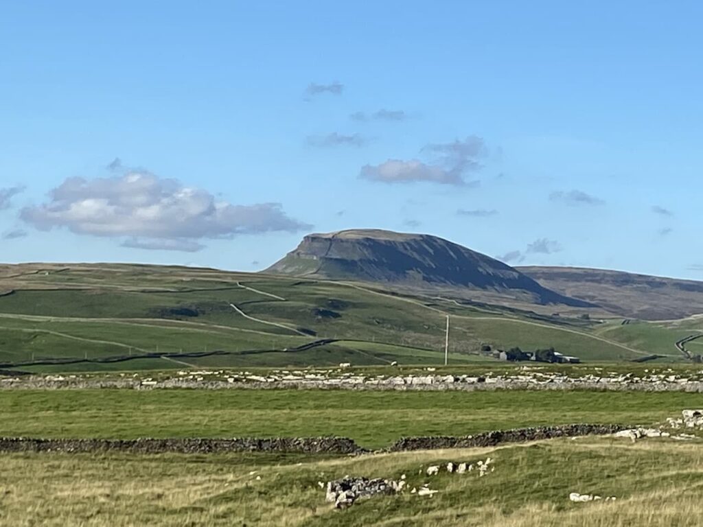
Through the gate we enter a field of pasture and follow the path as it runs close to the wall and then starts to climb besides the quarry. It is a short steep ascent to reach pasture land. In the Spring this is an abundance of wild flowers. After going through a wall gate we turn right on the track and head up to Upper Winskill passing through a gate besides a cattle grid. Now we continue on the path with a wall on our left. There are cracking views of Peny-Ghent from here.
At this point we bid farewell to our fellow walker. We turn right heading across the access land towards Winskill Stones. The limestone pavement around here is stunning, but sadly there is not as much as there once was. For some reason, probably greed, it was thought a good idea to dig up the limestone for people’s rockeries. The gardener Geoff Hamilton campaigned against this and after his death in 1996 the charity Plantlife was able to buy and safeguard the area for future generations.
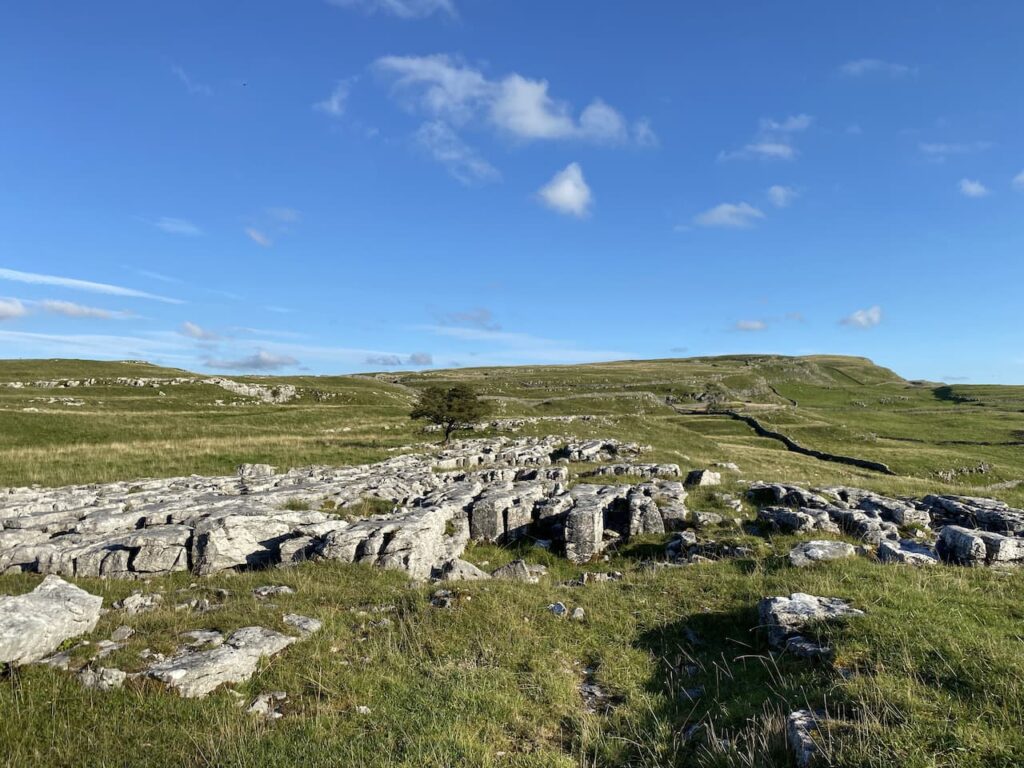
After looking at a section of limestone pavement we join a farm driveway and follow this to reach a minor road.
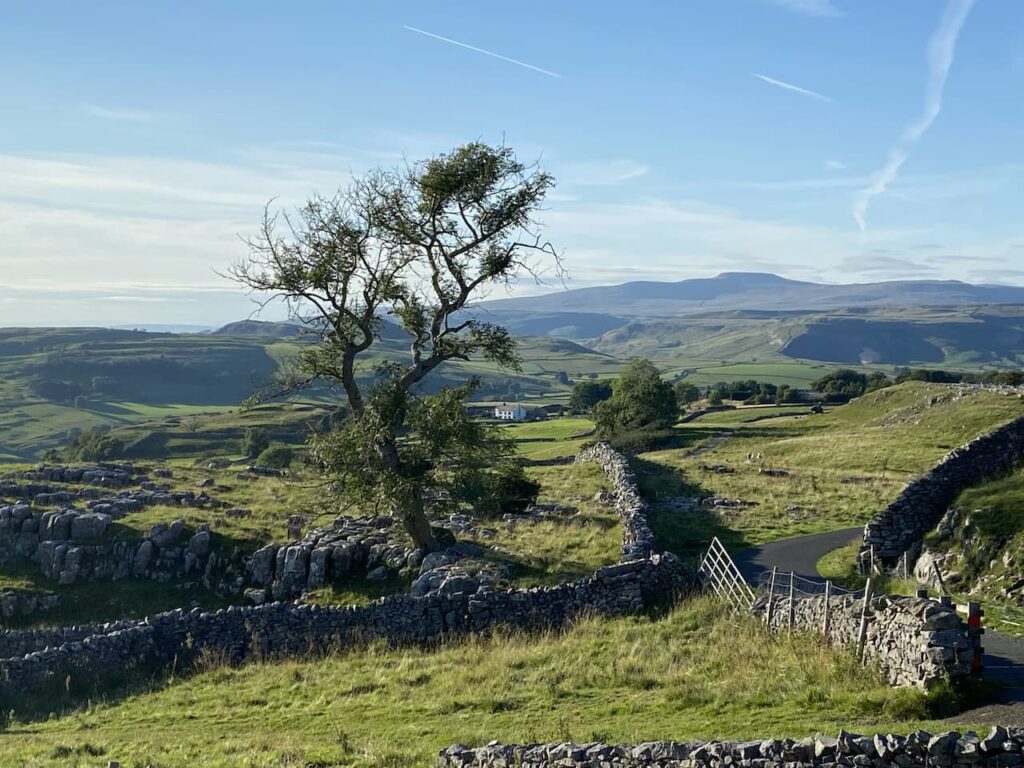
We turn right soon passing a cattle grid and within a hundred yards take a grassy track on the left leading across access land to a gate in the wall. We continue heading south across the access land on a grassy track to reach a stony track.
Here we turn left and go up to a gate then almost immediately turn right through a kissing gate and follow the path besides a drystone wall. To our left is Brent Scar and as we reach the path leading up to Victoria Cave I reach the point where I have walked 2,021 “boots on” miles in 2021.
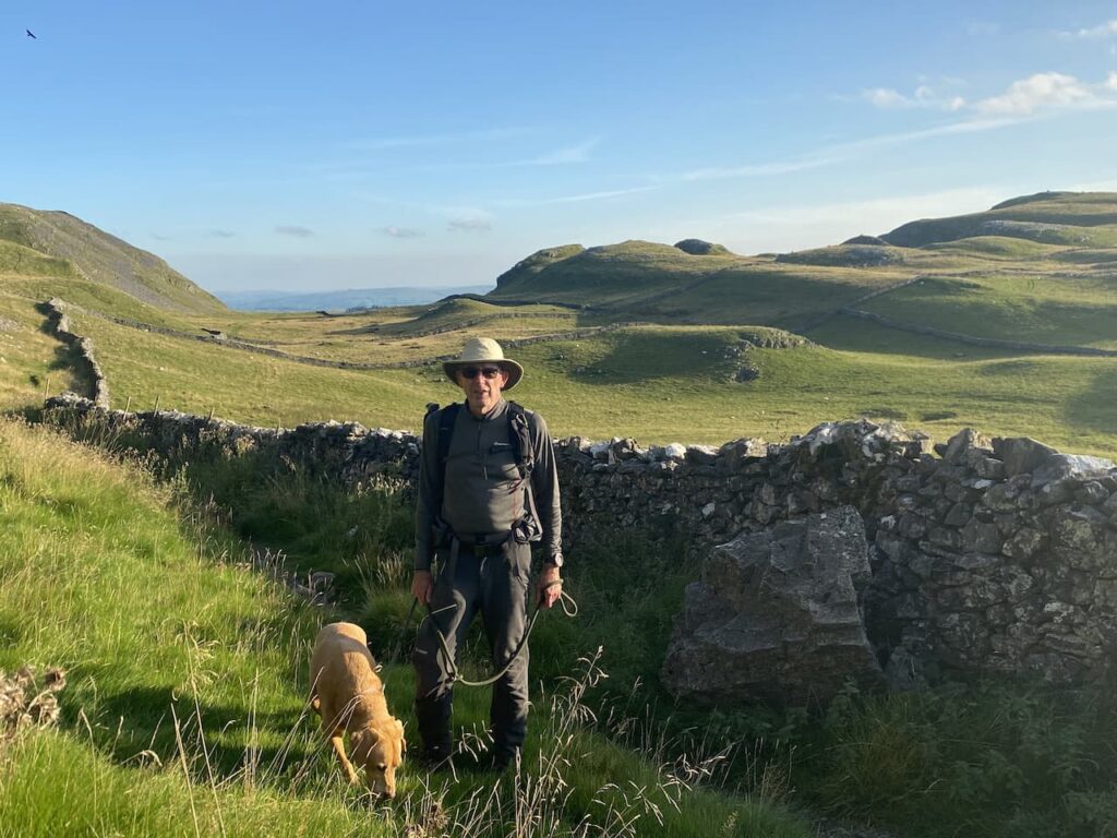
This is the earliest I have reached my walking target, last year I achieved the target on 16th October and the two previous year it was in November. Lynnie suggests I ease up on the walking now with no need to keep notching up miles. It is an interesting idea but I want to walk further this year than last when I clocked up 2,542 miles.
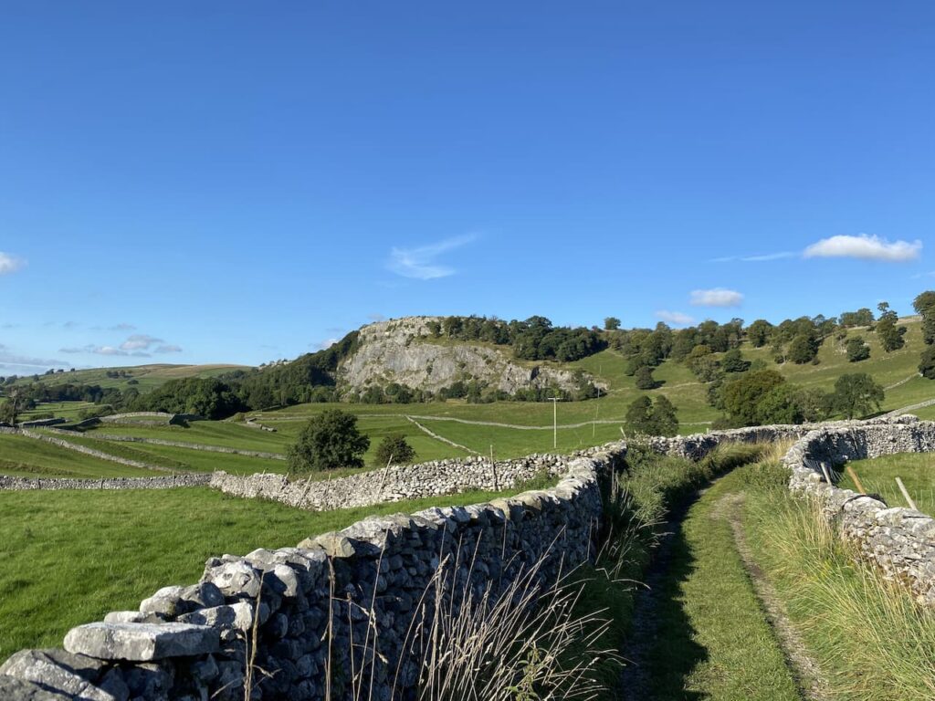
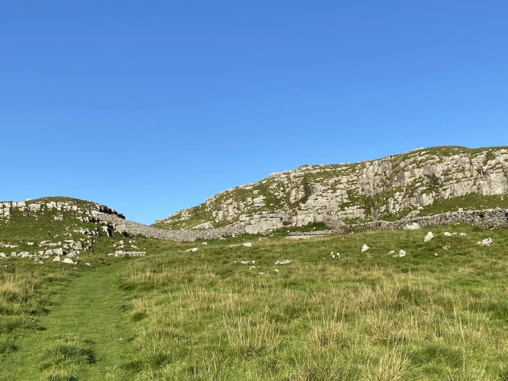
We continue besides the drystone wall to another kissing gate. The path now goes across a field below Attermire Scar to a gate in the wall.
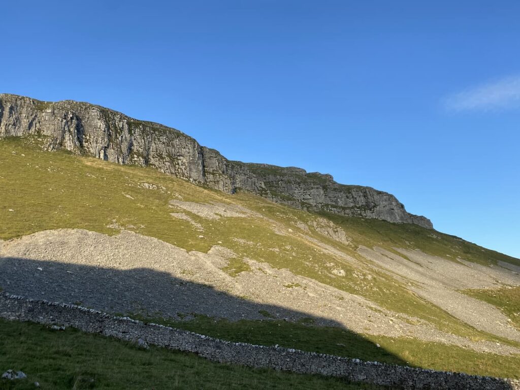
Through the gate we continue downhill through limestone outcrops and then turn right to follow the route of the Dales High Way heading west. There are cattle spread about in these fields and we are very conscious of avoiding getting between any cow and her calf. We are now below the impressive scar of Warrendale Knotts.

After going through a gate we start to descend steeply. The views are stunning. It is so clear we can see for miles with Ingleborough standing out in the distance.

We keep heading downhill on the steep grassy path and then veer to the left to pick up a walled track heading back towards Settle.

We arrive back in Settle at the Market Square and then head back to Brigholme Farm CL. It has been a cracking walk on a stunning day. Since losing Dexter we have revisited many places we had taken him but being at Winskill Stones without him was particularly sad.
As it is a milestone day reaching 2,021 miles we decide to pop along the road to the Craven Arms and enjoy a couple of pints of excellent ale from the Bowland Brewery.

To follow this walk you will need Ordnance Survey Outdoor Leisure Map OL2 – Yorkshire Dales – Western Area
You can view this 7 mile walk and download the GPX File on OS Maps (OS Maps subscription required)
16th September 2021
© Two Dogs and an Awning (2021)
All information on this site is provided free of charge and in good faith and no liability is accepted in respect of damage, loss or injury which might result from it. To the best of my knowledge the routes are entirely on public rights of way or within areas that are open for public access.
Walking can be hazardous and is done entirely at your own risk. It is your responsibility to check your route and navigate using a map and compass.