

Back in 2014 when I first started writing about our travels and walks I described a route we took on Godlingston Heath, it was a very interesting route in countryside I had not previously walked. We are currently staying close by at Ulwell Holiday Park so have decided to make another visit to the heath.
Our starting point is the large lay-by besides the Ulwell Road, OS Grid Ref: SZ021809; What3Words ///sketching.baseline.materials. This is across the road from the caravan park so only a short distance from our pitch. We leave the lay-by and take a footpath through a kissing gate and the go steadily uphill to a junction of paths where we continue straight ahead to reach steps which ascend steeply.
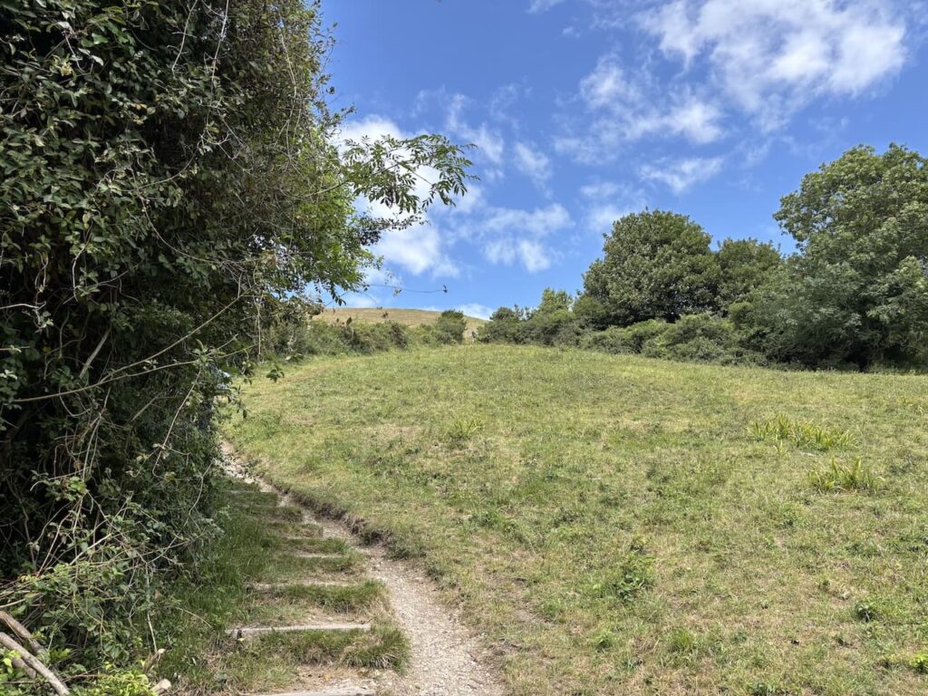
This is a long steep ascent and some of the steps are particularly high, so on a hot day they are challenging. I know Lynnie will be counting them so wait at the top to be told there are three hundred and twenty one.
The final part of our ascent is on a path across a field with an obelisk in front of us. This was erected in 1892 by George Burt, a public works contractor and business man who managed the construction company Mowlem which was founded by his uncle John Mowlem. The obelisk commemorates the provision of a new supply of drinking water to Swanage in 1883. It was taken down in 1941 to prevent it being used during World War II as a navigation aid to enemy aircraft and was re-erected in 1952.
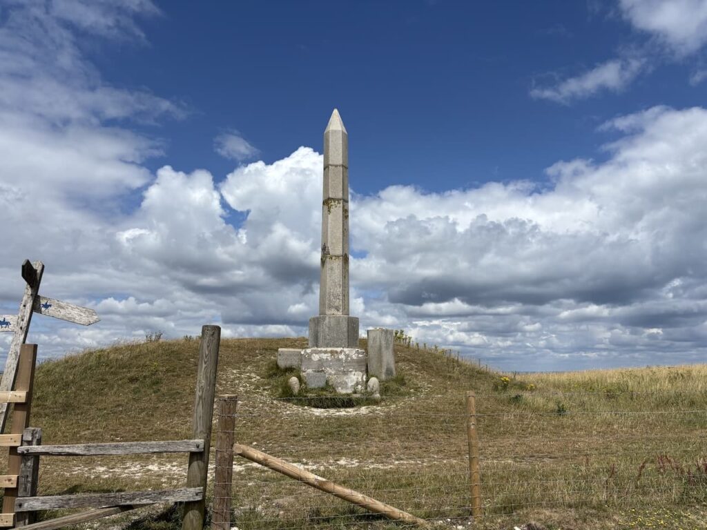
After crossing a stile we turn right beside the obelisk to head east along the ridge.
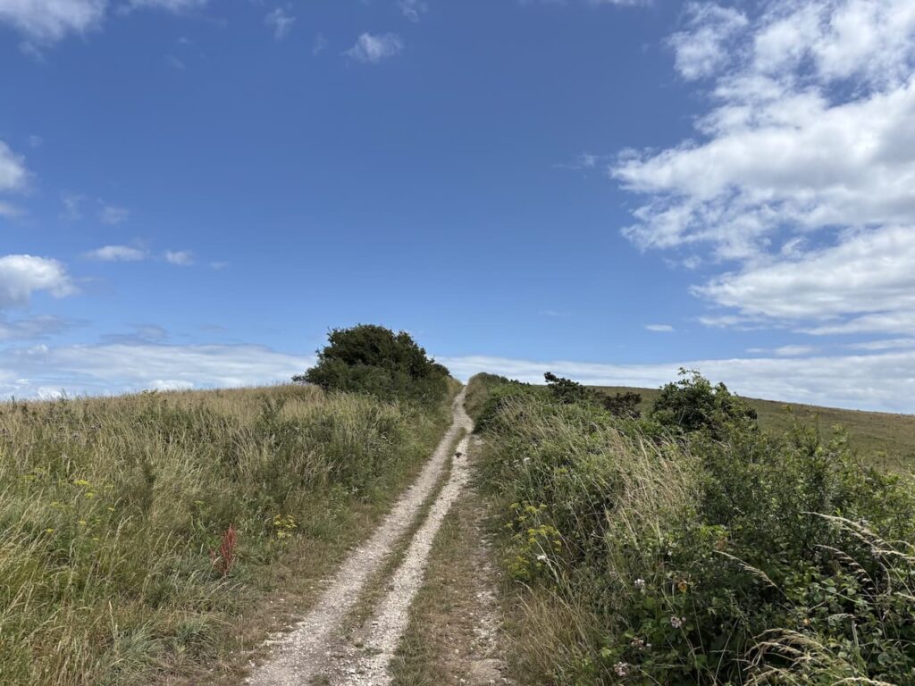
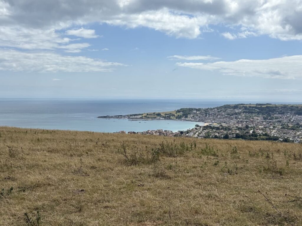
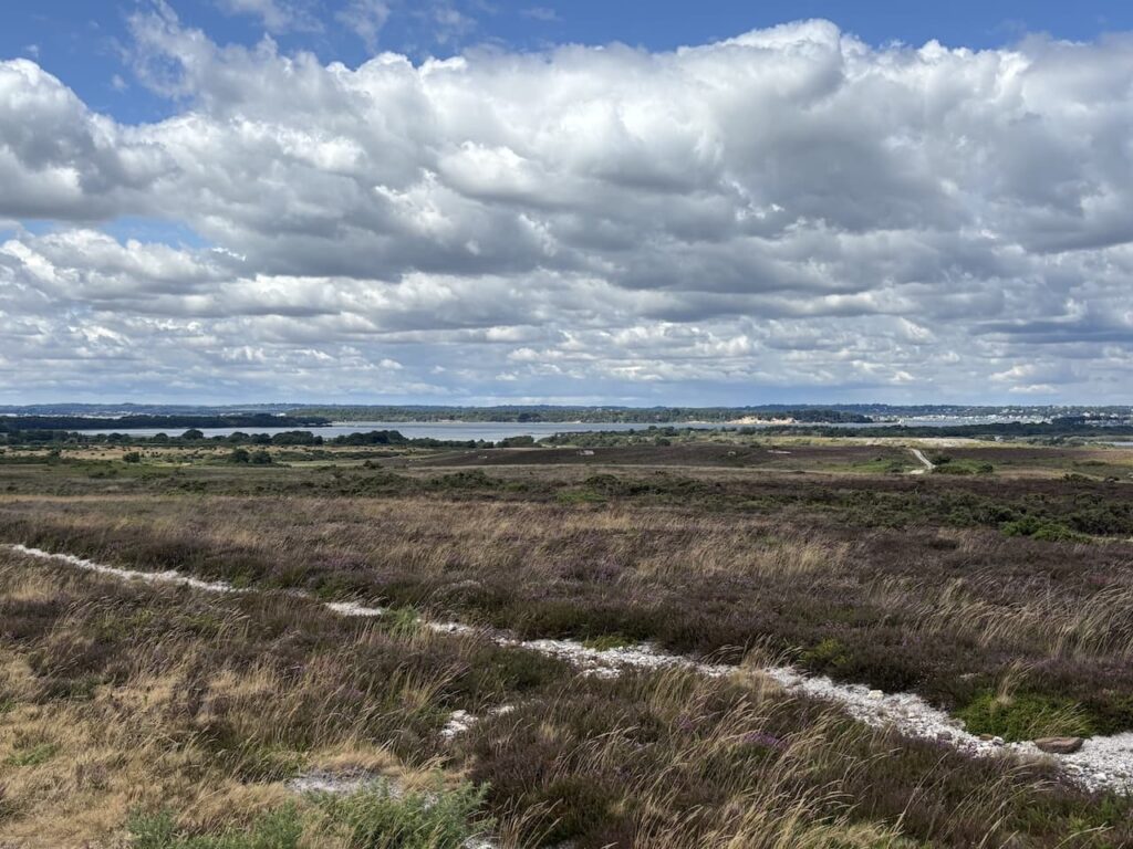
We stay with the path as it goes through a gate and about 600 metres from the obelisk ignore a footpath on the left towards Studland. There are stunning views across Swanage from here.
In front of us as we continue along the ridge we can see the Isle of Wight in the distance.
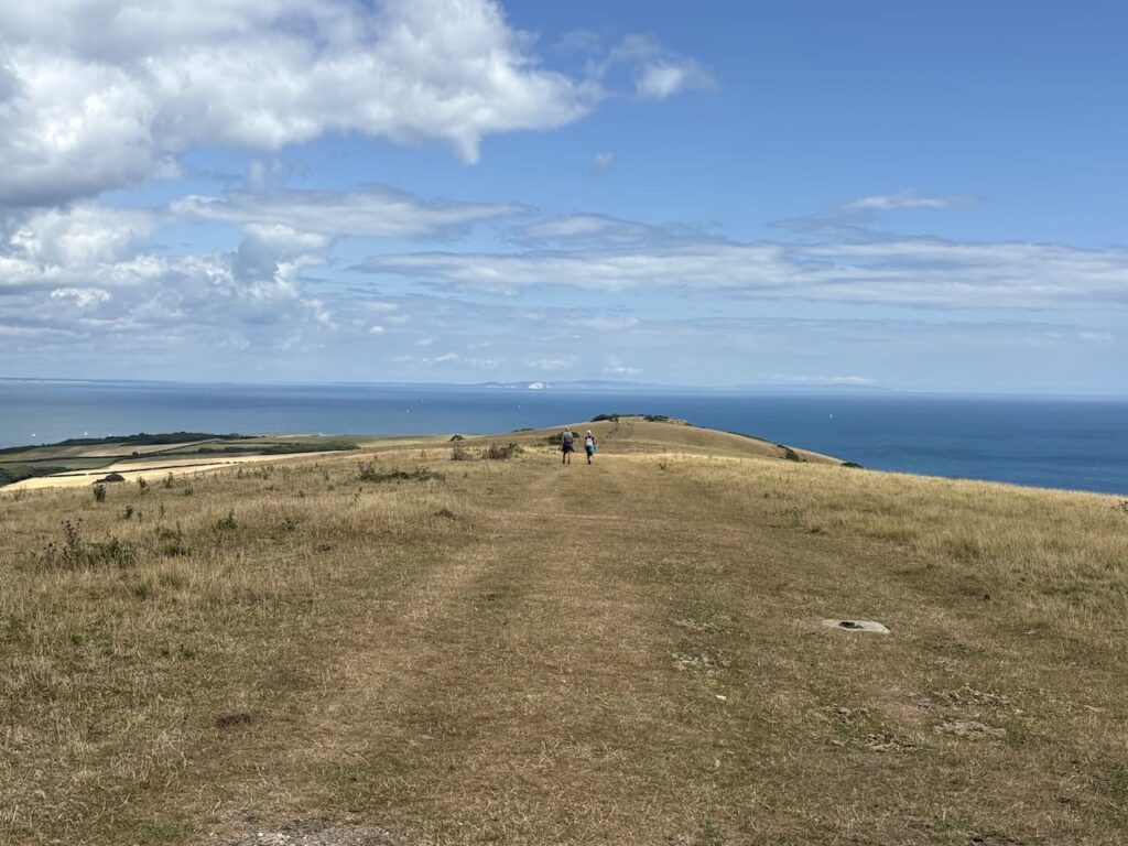
At the next junction of paths we take a path on the left descending diagonally across Ballard Down towards Studland.
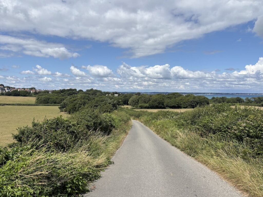
After going through a gate we join a tarmac lane and follow this into Studland.
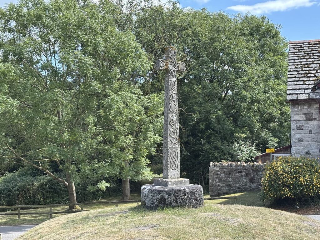
At a road junction by Manor Farm tea rooms there is a bench on a small green. We stop here for a drink and sandwich. On the green is a cross which was installed in 1976 on the base of an old Saxon cross. The cross is made from Purbeck Freestone and there are remains of Jurassic creatures embedded within the stone.
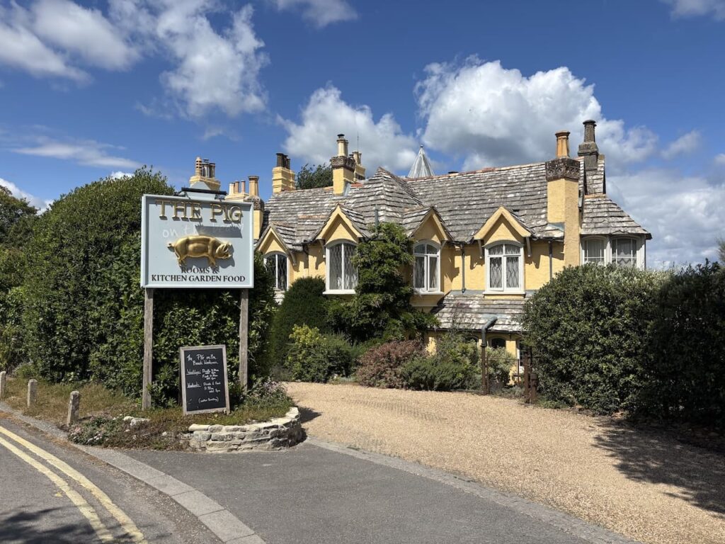
We continue our walk heading down Watery Lane and then turn into Manor Road and pass the Banks Arms which is very busy on a sunny Sunday lunchtime. Staying on Manor Road we pass The Pig on the Beach.
At the junction with Beach Road we turn left and take a footpath that is almost opposite. This leads us through to Ferry Road where we cross and turn right to walk on the wide verge. We soon turn left along Wadmore Lane.
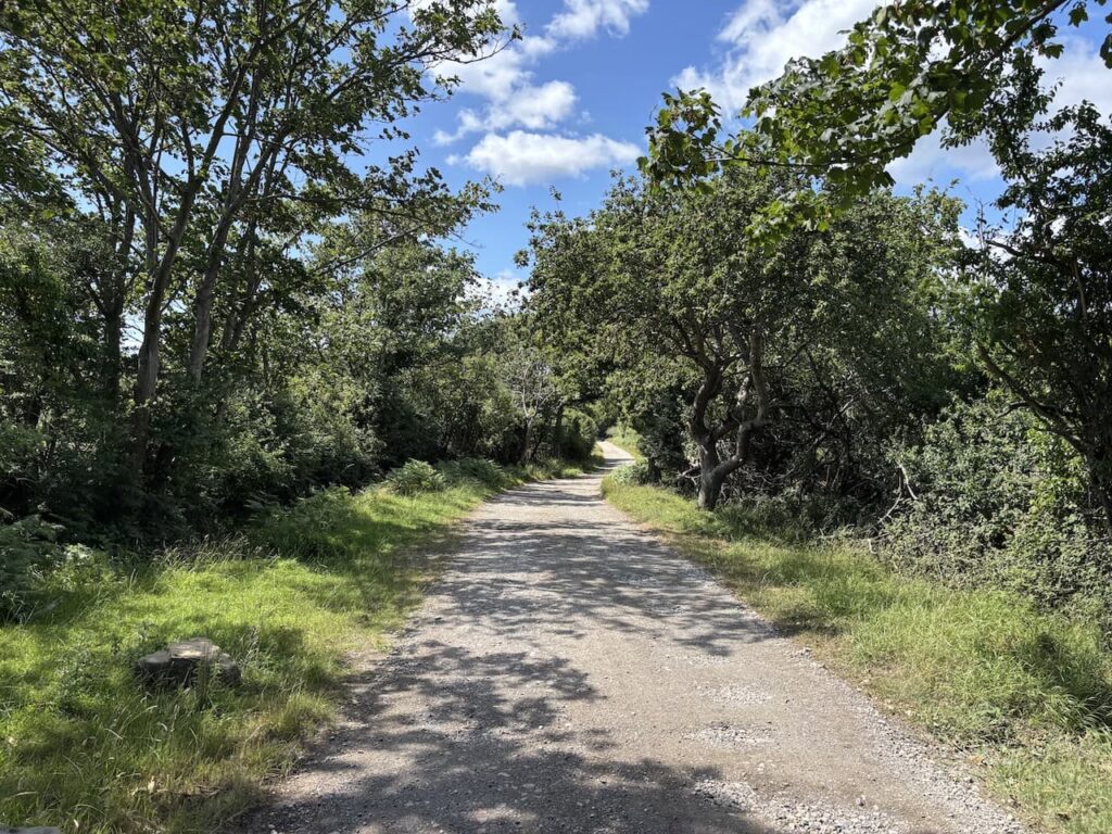
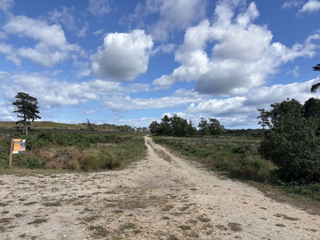
At the end of the track we continue on a bridleway which leads through the trees to a sandy track onto Godlingston Heath.
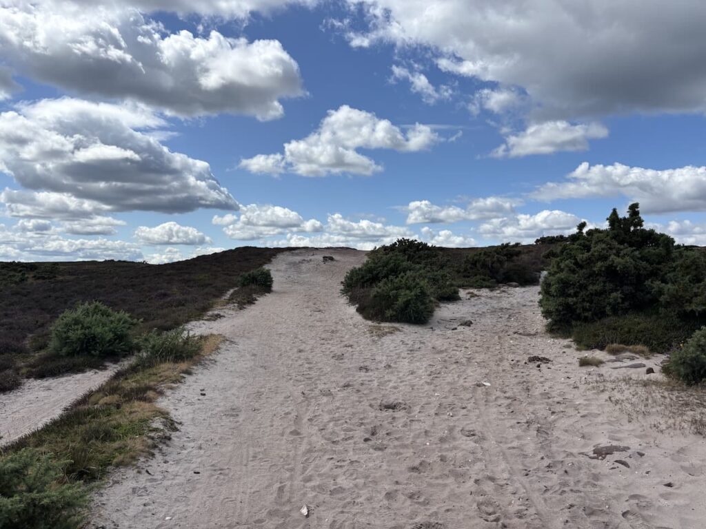
There is a network of paths on the heath but we keep heading straight on in a north westerly direction.
Much of this area of the Purbecks now forms the Purbeck Heaths National Nature Reserve. The NNR was created in February 2020 and it covers 8,231 acres stretching from Grange Heath in the West, to Studland in the east and from the Arne Peninsula in the north to Norden in the south.
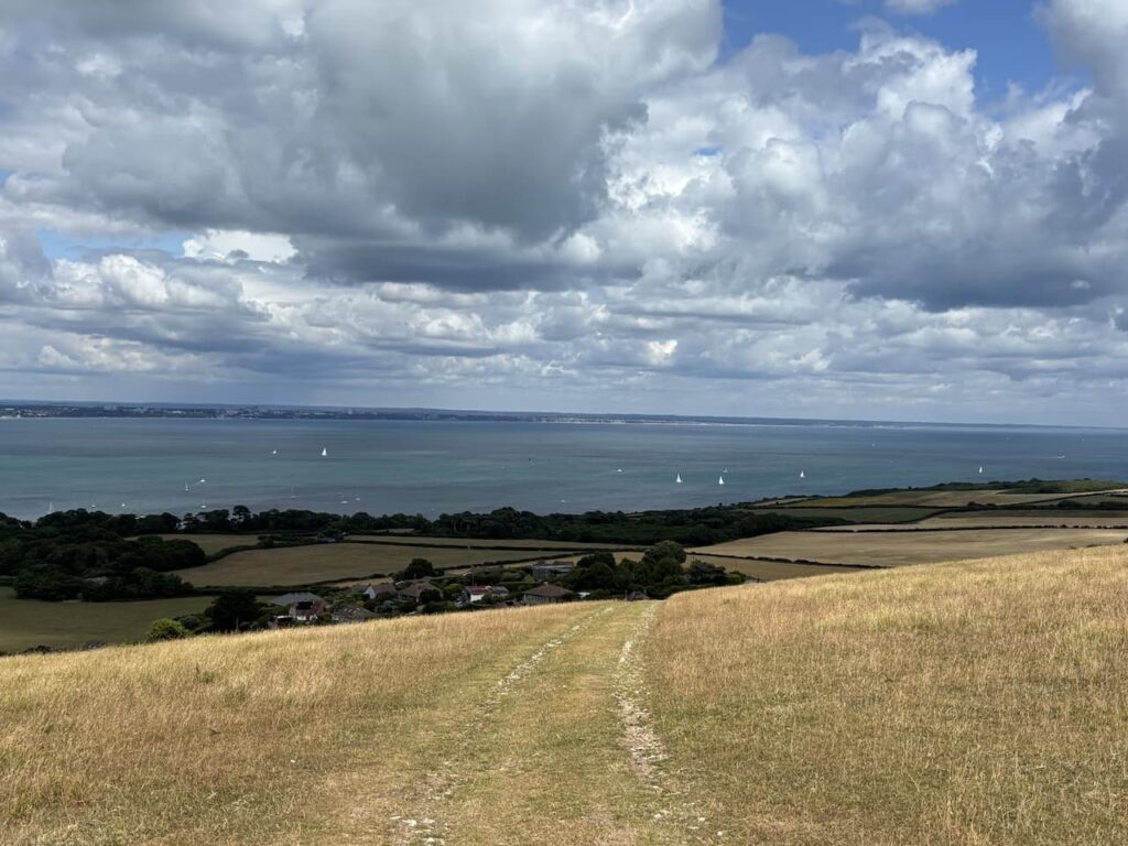
We can see across to Poole Harbour and Brownsea Island.
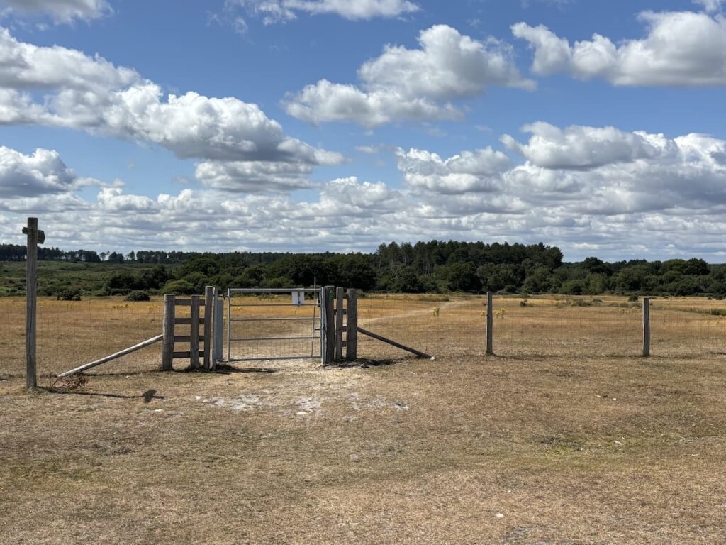
On reaching a gate in a fenced field we go through and follow the clear path across the field.
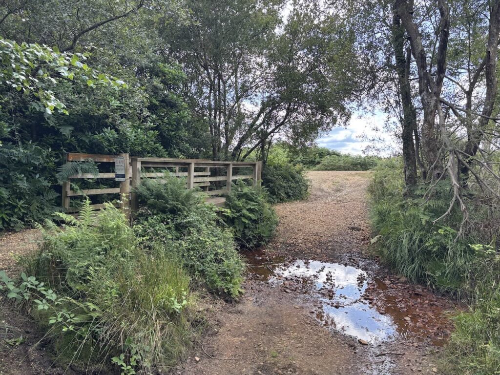
After going through a gate on the far side we take a footpath on the left which goes through bushes and leads to a footbridge over a stream.
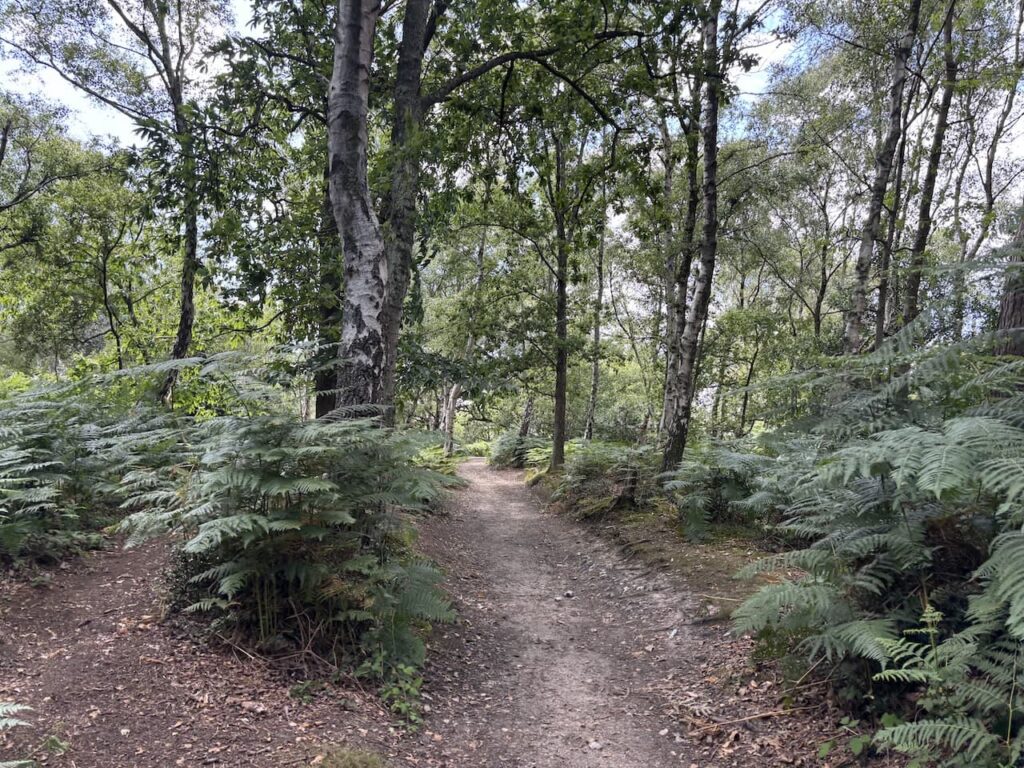
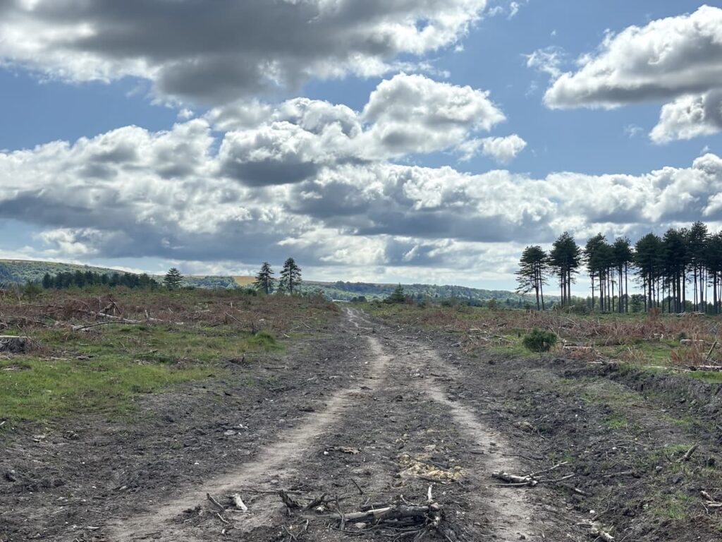
We are now on Newton Heath, since we were last here there has been a lot of felling of trees.
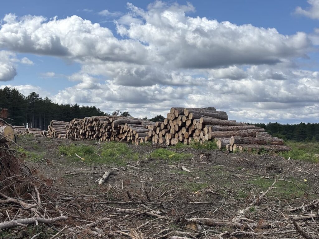
At a junction of paths besides a log stack we continue straight on accompanied by the distinctive sound of Stonechats, we stop for a while to observe these beautiful birds, unfortunately they are too far away to capture a clear picture.
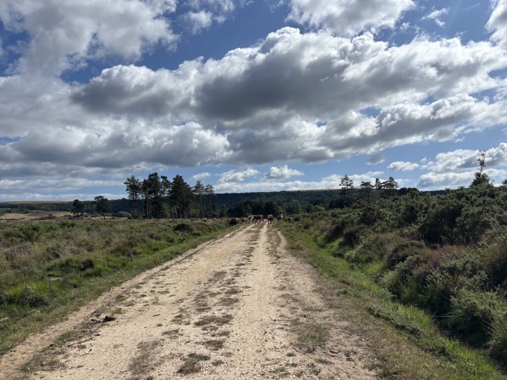
We keep heading in a south-westerly direction and go straight on at a crossing of tracks and then at the next track we turn left along a gravel track with a herd of cows in front of us.
At a junction we turn left on Kingswood Heath to head back towards Godlingston Heath.
At the next junction of tracks beside a large tanker we go straight on passing through a gate we are soon alongside the Isle of Purbeck Golf Course.

At a junction of paths we turn right and head along a clear path beside the edge of the course. I have played this course once during a hot summer over thirty years ago. I found it particularly challenging to keep the ball on the rock hard fairways and with so many blind shots spent a lot of the day looking for my ball.
The club was founded in 1892 and with the railway bringing more visitors to the area in became very popular. In the 1950’s the course was owned by Dr Darrell-Waters and his wife Enid Blyton, they sold it to Denys Randolph the Chair and Managing Director of Wilkinson Sword.

We ignore a footpath to the left and keep going to a point where a path crosses the course between greens.

This path leads us to a road where we turn left and then cross to take a footpath opposite which goes over a stile onto a nine hole golf course. We head across the course and then descends through trees to a field where we cross a stile and continue on the path which is marked by an electric fence.
On reaching a stile we cross and turn left along the wide verge beside a road for just over 200 metres and then cross to join a footpath on a track heading uphill.
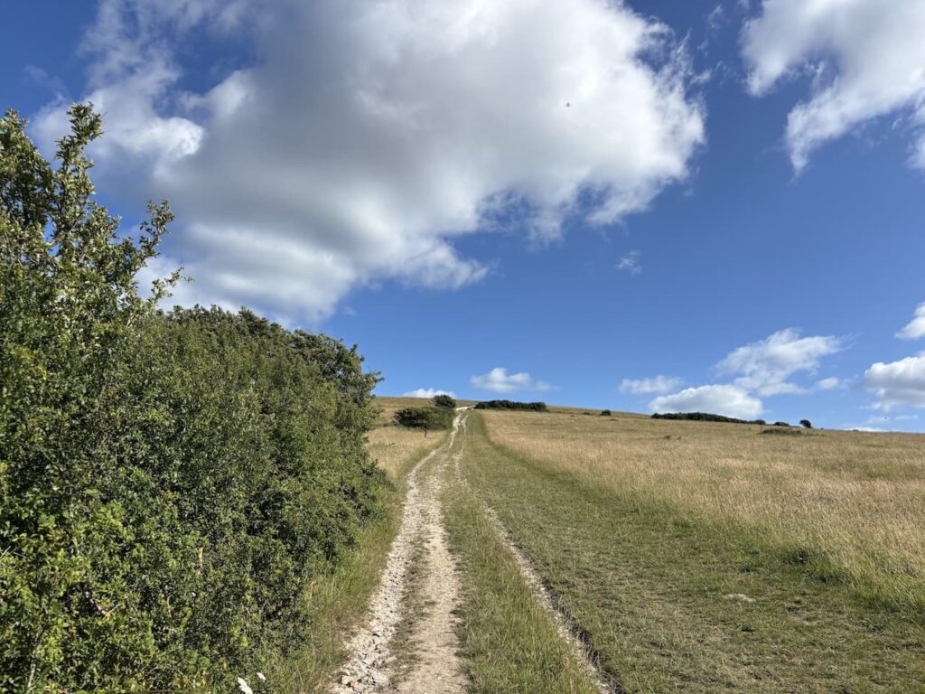
We stay with this track as it steadily ascends to the obelisk.

At the obelisk we cross the stile and head back down the steps to our starting point.
To follow my walk you will need Ordnance Survey Explorer OL15 – Purbeck & South Dorset
You can view this 8.5 mile walk and download the GPX File on OS Maps (OS Maps subscription required)
All information on this site is provided free of charge and in good faith and no liability is accepted in respect of damage, loss or injury which might result from it. To the best of my knowledge the routes are entirely on public rights of way or within areas that are open for public access.
Walking can be hazardous and is done entirely at your own risk. It is your responsibility to check your route and navigate using a map and compass.