

On our last trip to Giggleswick I did a walk that took me to nearby Long Preston and on the way I bagged a trig point at Hunter Bark. Before setting off on this trip Lynnie requested, even though we have not been here for almost two years, we did some new walks whilst staying at Brigholme Farm. So I have planned a route taking in a couple of familiar spots but also walking paths we have not previously covered.
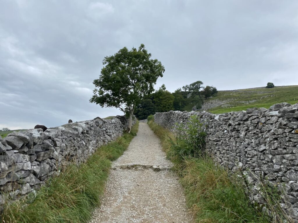
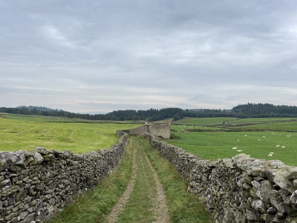
We leave Brigholme Farm by turning right and heading into Settle. On reaching the market square we leave the town via Constitution Hill and follow the road until it reaches the wide footpath that continues steeply upwards between two dry stone walls.
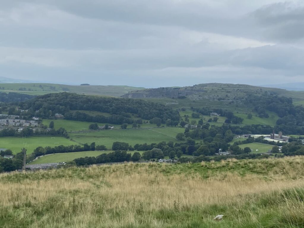
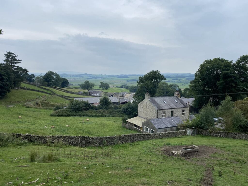
Through the gate at the top of the track we soon veer right to continue even more steeply uphill. As we climb we stop to admire the views back behind us. To the left is Settle and Giggleswick and to the right in the foreground is Langcliffe High Mill.
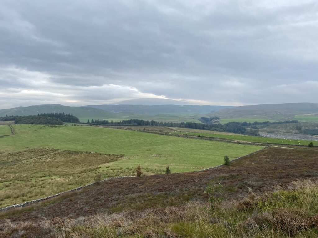
We are now on the route of the Dales High Way and follow the well-worn grass path to reach a gate. We go through and continue along the path with the impressive looking Warrendale Knotts on our left.
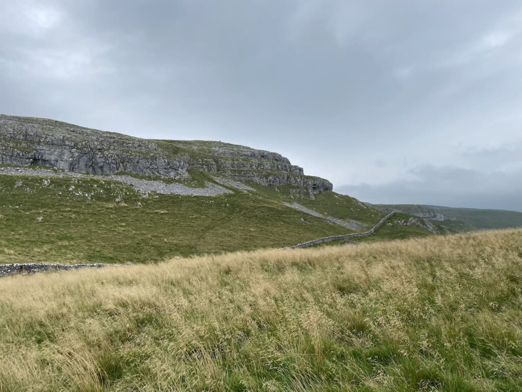
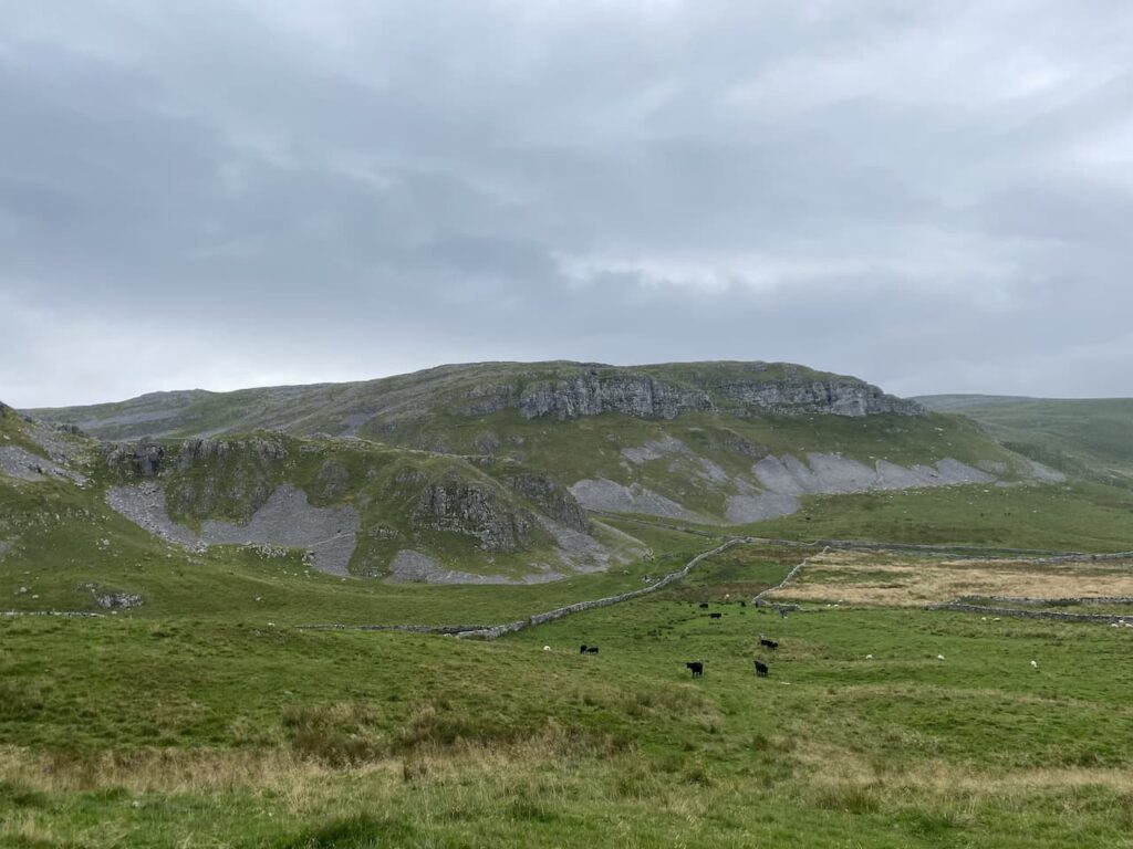
The scenery here is stunning and it gets even better as we go over the brow of a hill and head towards Attermire Scar.
On reaching a junction of footpaths we go right and head uphill to skirt the side of Sugar Loaf Hill and then as we head towards a gate stop to look at an Old Lime Kiln. These kilns are part of agricultural history, the lime was burnt and then spread on the fields as a fertiliser. If you look carefully you can frequently spot these features on farmland around the Dales.

We reach a ladder stile and cross to join Stockdale Lane and continue along this track to reach High Hill Lane where we turn right and then very soon left into Lambert Lane. This is a cracking walled track which soon passes Preston’s Barn.
We are now on the route of the Pennine Bridleway and we stay with this by turning left at a junction of Lambert Lane and Mitchell Lane. This broad track leads us past Black’s Plantation, we stay left at a fork in the track to stay on the Pennine Bridleway heading south. As the track reaches the access land of Hunter Bark we detour right to follow a path which leads uphill around the disused quarries. There are cracking views from the top of the hill.
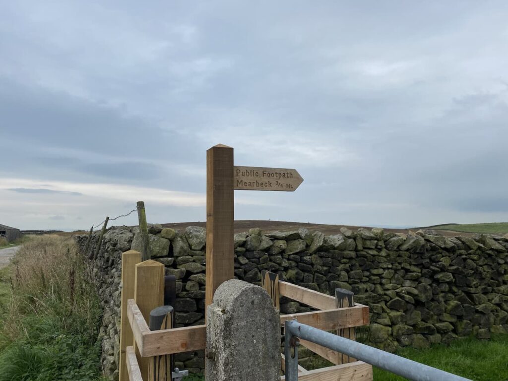
We follow the path as it descends to rejoin the track and continue past a fenced section of access land to reach a newly installed kissing gate with a footpath signposted to Mearbeck.
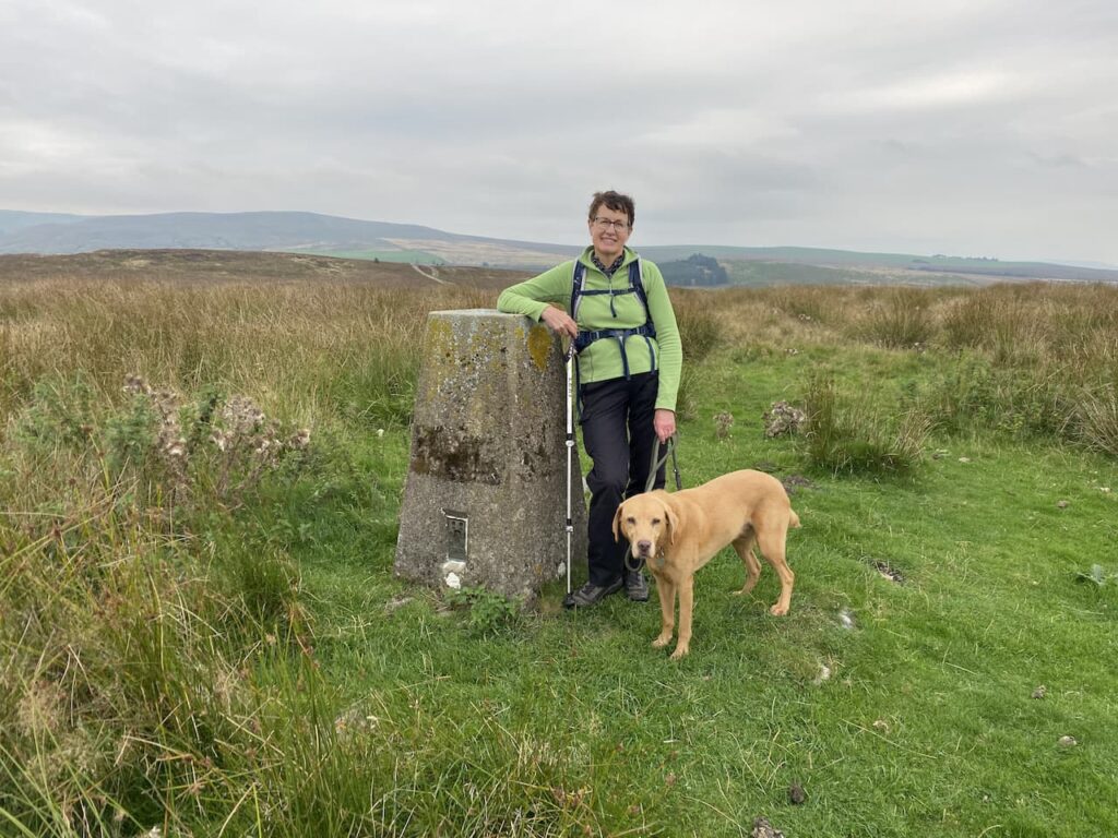
The footpath leads along the edge of the field; however we take a detour over the open access land to head up a grassy track to reach the summit of the hill in order to bag the Hunter Bark trig pillar. I have been here before but it is a new one for Lynnie.
From the trig we head to the south west corner of the access land and rejoin the footpath. After going through a gate this route continues across fields of pasture towards High Mearbeck Farm.
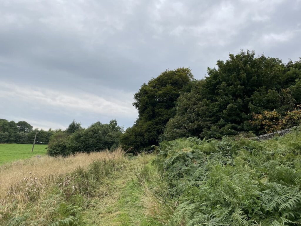
At the farm the farmer points us in the direction of the path we need to head back towards Settle. This way-marked path goes to the right passing a cottage and heading north to Mearbeck Wood. In the woods at a fork in the footpath we go right keeping close to a boundary wall and the top of the wood.

As the path emerges from the trees it descends steeply to a field of pasture and then goes through a wall gate to reach Cleatop Wood. This area is owned by the Woodland Trust.
The clear path leads us to a field of pasture, here we follow the path along the edge keeping a wall on our right had side. We then cross two further fields to reach the farm track to Lodge Farm. We cross this track and join Brockhole Lane and follow this back towards Settle.

Nearing Settle we pass allotments and then reach a road, we turn left then at the junction with Ingfield Lane we go left and then continue on to a crossroads where go straight over and then follow the road back towards Brigholme Farm CL. Our walk has covered eight and a half miles and ticked the box for being a new walk for us in this area. Tomorrow I have plans to walk a more familiar route and head up Ingleborough, but I will have to break the news to Lynnie gently.
To follow this walk you will need Ordnance Survey Outdoor Leisure Map OL2 – Yorkshire Dales – Western Area
You can view this 8.5 mile walk and download the GPX File on OS Maps (OS Maps subscription required)
13th September 2021
© Two Dogs and an Awning (2021)
All information on this site is provided free of charge and in good faith and no liability is accepted in respect of damage, loss or injury which might result from it. To the best of my knowledge the routes are entirely on public rights of way or within areas that are open for public access.
Walking can be hazardous and is done entirely at your own risk. It is your responsibility to check your route and navigate using a map and compass.