

After a few days at Hall Croft CL we are on the move to Giggleswick to stay at Brigholme Farm. Over the years it has been the CL we have visited most on out travels because it is so closely located to Settle which is a favourite location for us. It only takes us an hour to get from Ilkley to Giggleswick so soon after packing up we are setting up again.
It is great to be back at Brigholme Farm, our last visit was in November 2019 and who could have imagined what was just around the corner with the Covid -19 pandemic. There have been times in the last eighteen months that I have wondered if we would ever get back to the Dales.
From Brigholme Farm CL we turn right and soon cross Penny Bridge over the Ribble. We turn right to go under the railway bridge. At the crossroads we go straight over into Ingfield Lane and at the bottom fork right around the retirement housing complex. In a few hundred yards we reach Brockhole Lane on the right. We often walk along this lane, known locally as Watery Lane. At the end of the lane we go through a gate and at a crossing of paths close to a modern barn, turn left to follow the lane steadily uphill to Lodge Farm.
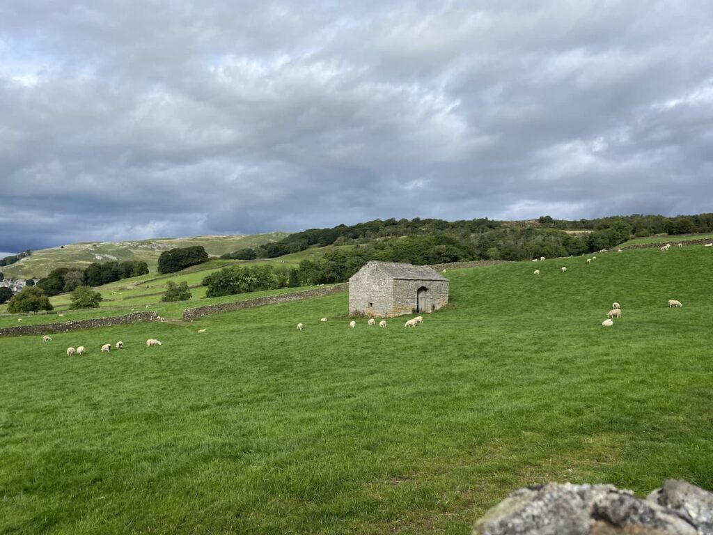
It is a steady ascent up the farm track to Lodge Farm where we go through a gate and turn left. Soon after at a fork in the track we take the right option. We go through a gate and walk uphill on the track besides Hudsa plantation and then at a second gate follow a walled track.
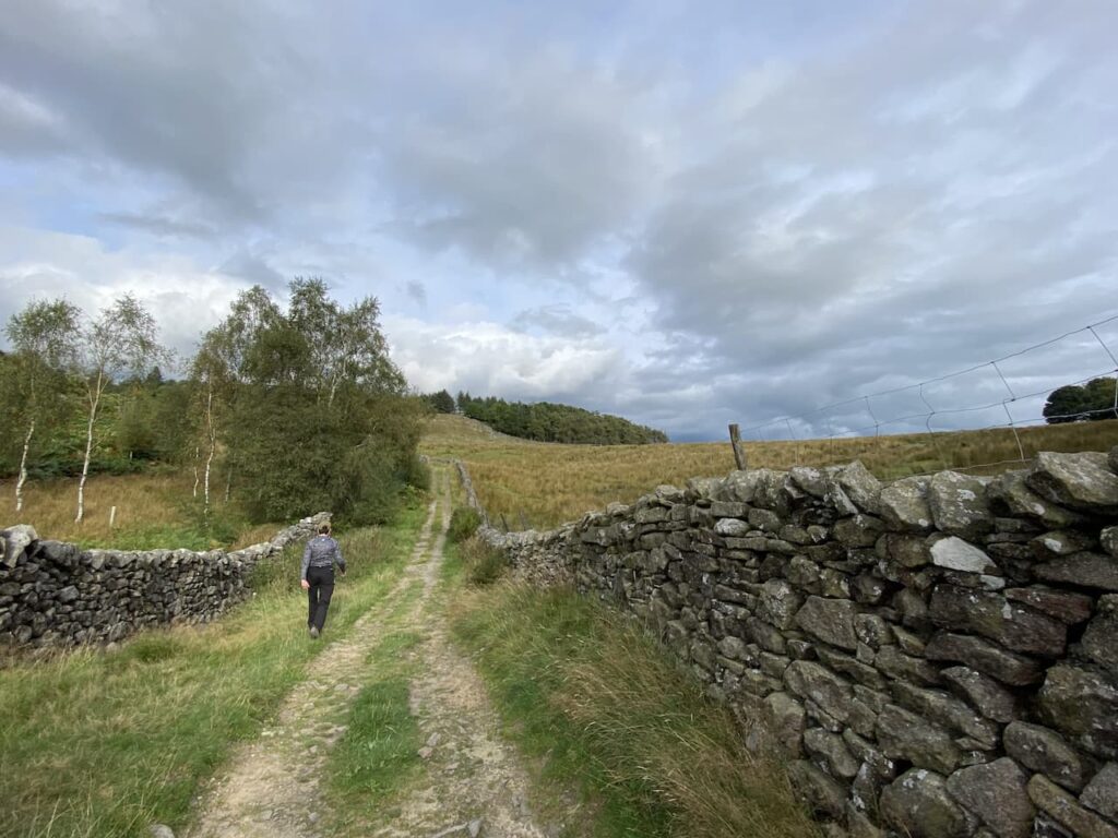
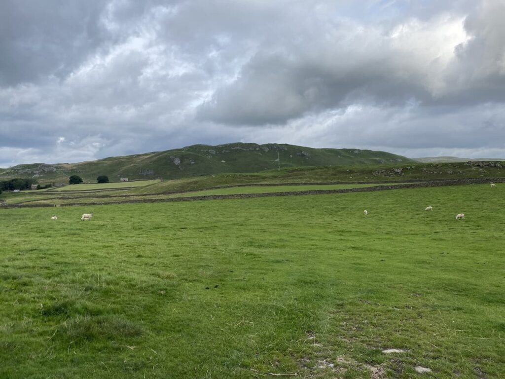
At another gate we keep straight ahead keeping Black’s Plantation on our right. There are fine views and in the distance is Ingleborough. I have a couple of walks planned up that peak over the next couple of weeks, hopefully I will be able to persuade Lynnie to join me on one of them.
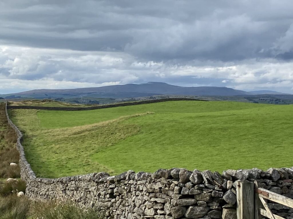
At the junction of Mitchell Lane and Lambert Lane there is a cracking view of High Hill in front of us.
We now turn left and follow Mitchell Lane downhill into the centre of Settle and from there head back to Brigholme Farm CL. Our stroll around has covered four and a half miles and has been a welcome reminder of why we come here so often.
To follow this walk you will need Ordnance Survey Outdoor Leisure Map OL2 – Yorkshire Dales – Western Area
You can view this 4.5 mile walk and download the GPX File on OS Maps (OS Maps subscription required)
12th September 2021
© Two Dogs and an Awning (2021)
All information on this site is provided free of charge and in good faith and no liability is accepted in respect of damage, loss or injury which might result from it. To the best of my knowledge the routes are entirely on public rights of way or within areas that are open for public access.
Walking can be hazardous and is done entirely at your own risk. It is your responsibility to check your route and navigate using a map and compass.