

It is one of those days where I have to spend a chunk of it working. Fortunately, such days are becoming less common on our travels but part of the reason for coming to this area is to meet with a client. Before I head off to my meeting we have time for a walk.
Our walk today starts off similarly to the one we did a couple of days ago. We leave Fowey CL, turn left and walk along Passage Lane towards Fowey. On reaching Penventinue Lane we turn left along the tarmac lane. We have now joined the route of the Saints’ Way and follow this past Penventinue. Where the Saints’ Way turns right on a footpath we continue on the tarmac lane. On reaching Lanheriott Farm we follow the broad track.
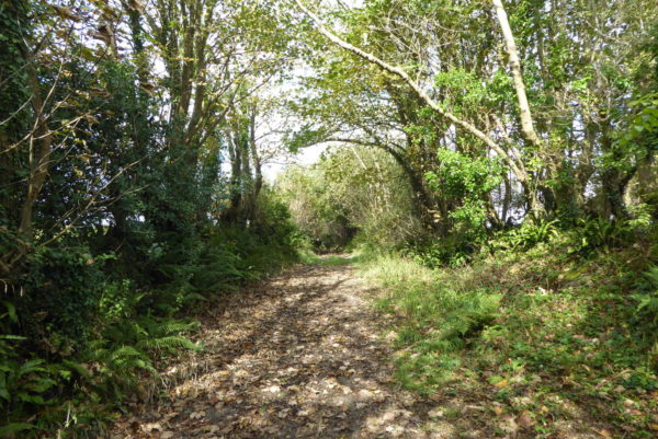
Initially it is dry under foot but soon we encounter some very muddy sections requiring the skills of a mountain goat to ensure we don’t get boots full of gunge.
As the path starts to descend it becomes drier and walking down this sunken route, that must have been used for centuries, we ponder about those who have travelled this way before.
Approaching Torfrey Nursery we take the tarmac drive on the left leading to a crossing of minor roads, here we turn right along the road towards Torfrey and then at a fork in the road go right to Golant.
The road heads steeply downhill into the village passing the village Reading Room as we approach the estuary.
This is a tranquil spot, the tide is out and there are a number of small boats tied up in Golant Pill. This area was created in 1863 when the Fowey to Lostwithiel mineral railway was constructed. The line opened in 1869 and runs along the river. It was initially built to move goods and iron ore from the Restormel iron mine to Fowey for loading onto ships. Later in 1883 a passenger service was added but it was not until 1896 that a station was built at Golant.
Our route out of Golant is on the Saints Way, from the quay we turn right up the hill on Fore Street to pass the Fishermans Arms. At a junction we turn left following the lane to its ends. Here the Saints’ Way follows the footpath through trees above the estuary.
The path descends on Golant Down to reach Bodmin Pill where we cross the stream. An old quay stands here. The Saints way follows the stream and then climbs up through Colvithick Wood.
After leaving the woods we follow the path across fields and on reaching Penventinue Lane turn left and retrace our steps back to Fowey CL. Our short stroll has covered close to five miles.
To view this route on OS Maps Click Here
To follow our walk you will need Ordnance Survey Outdoor Explorer Map 107 – St Austell & Liskeard
5th October 2017
© Two Dogs and an Awning (2017)