

In a normal year, and this is anything but a normal year, we would have been away in the caravan for around sixty nights by now. However this year we have had less than fifteen so we are spending a bit of time today just sorting things out around the van and chilling in the sunshine.
Another reason for resting up a bit is that on my morning walk with Crosby I started getting pain in my right knee. This is something I have experienced on and off for the last six years and normally a day’s rest and an application of Ibuprofen gel sorts things out.
Crosby is content to lay in the sun, but there comes a time when both dog and man need to stretch their legs. So come late afternoon the boots are on and we all head out.
We leave the CL and turn right along the farm lane and follow this to a gate which we go through and continue across fields to reach a gate onto a track which we follow to reach a minor road, Durlett Road, where we turn right.
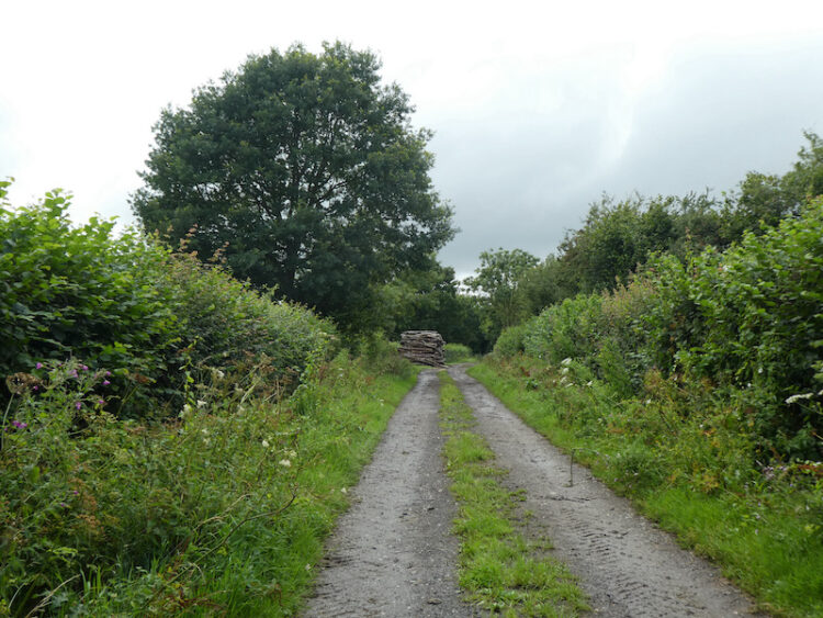
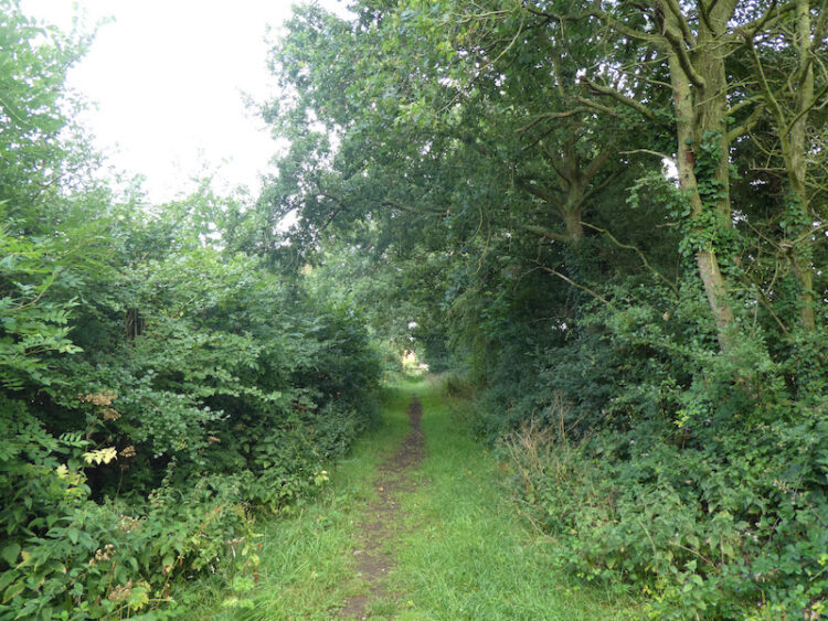
We follow Durlett Road heading north for just over a mile to reach a footpath on the right which is way marked to St Edith’s Marsh. This path follows a lane.
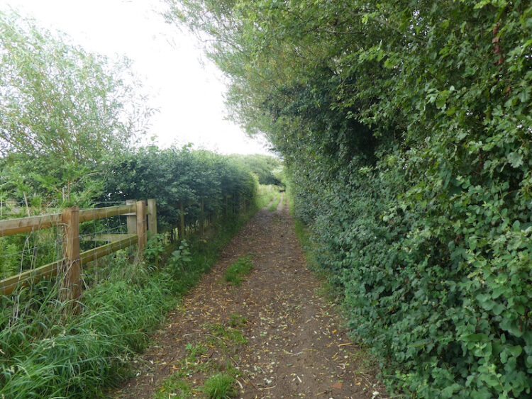
We stay with the lane to pass a disused farmyard.
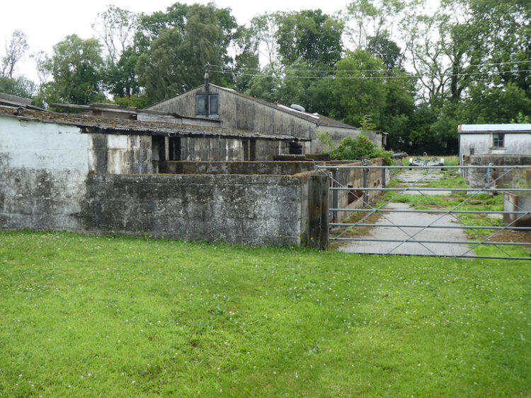
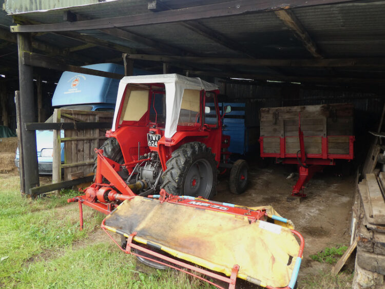
The yard looks in a dilapidated state, but the pole barn on our right contains two cracking old tractors. There is a Ford 4600 dating from the 1970’s which looks like it has just come out of a showroom.

In equally immaculate condition is a Massey Ferguson with a hay cutter attached.
Needless to say as we continue our walk I am regaling Lynnie with tales of working on a farm as a nipper in the early 1970’s. At a junction of tracks we turn right and follow a track into a copse and then emerge into a field of pasture. At a junction of paths we turn left crossing a field to reach a track leading to the A342.
We cross the road and turn right along the pavement and follow this for quarter of a mile to reach the entrance to Horse Lane Farm CL. Our walk has covered almost 2.5 miles and most of the way my knee has been painful. Hopefully tomorrow it will have eased a bit.
To follow this walk you will need Ordnance Survey Explorer Map OL157 Marlborough & Savernake Forest.
You can view this 2.5 mile walk and download the GPX File on OS Maps (OS Maps subscription required)
27th July 2020
© Two Dogs and an Awning (2020)
All information on this site is provided free of charge and in good faith and no liability is accepted in respect of damage, loss or injury which might result from it. To the best of my knowledge the routes are entirely on public rights of way or within areas that are open for public access.
Walking can be hazardous and is done entirely at your own risk. It is your responsibility to check your route and navigate using a map and compass.