

I am out on my own again for my daily exercise. Crosby is making good progress after his surgery, but is still restricted to short walks. My route today is a familiar one, it is a walk I do most weeks when we are at home, but always find it interesting as a section follows the south side of Houndwood and it is always a good insight into the changing seasons.
Today’s trip has a special purpose because I am dropping off a couple of bottles of Proper Job Ale to one of my walking buddies who lives in Farley. With the current social distancing I have arranged to leave them by his gate. I am a big fan of Billy Bragg and delivering beer to mates in this troubled time makes me feel a bit like the “Milkman of Human Kindness.”
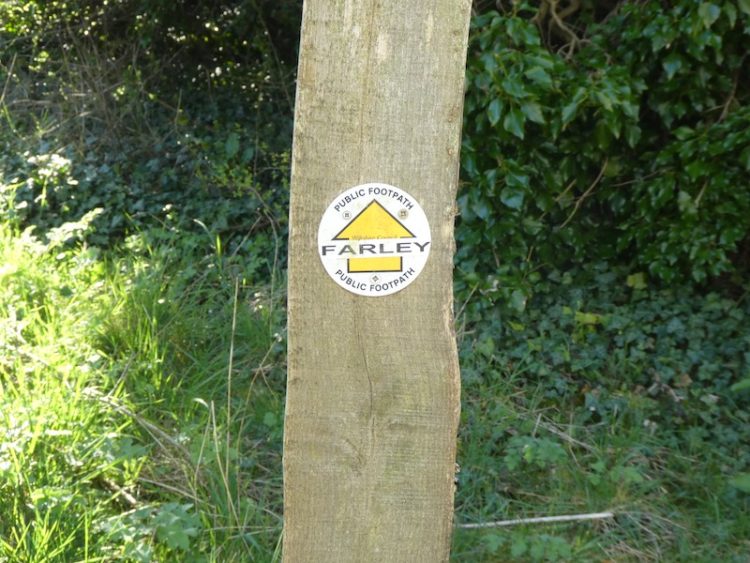
I start the walk from the Silver Plough car park and turn left and then immediately left along The Green. After 100 metres I ignore a footpath on the right and continue along the lane for a further 160 metres to reach a second footpath on the right and turn here to head uphill leaving Pitton heading towards Farley.
After going through a kissing gate at the top of the hill I continue past paddocks and through two more gates to follow the footpath past a plantation. The path soon narrows and becomes hedge-lined.
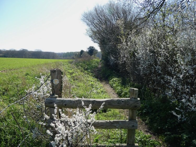
This path leads into a new plantation in Church Copse. Over the last couple of years I have watched the growth of these trees with interest. I am a friend of “Chunky” the woodman who planted these trees, whilst he was doing so we chatted one afternoon and came to the conclusion that neither of us would be around to see them grow to maturity.
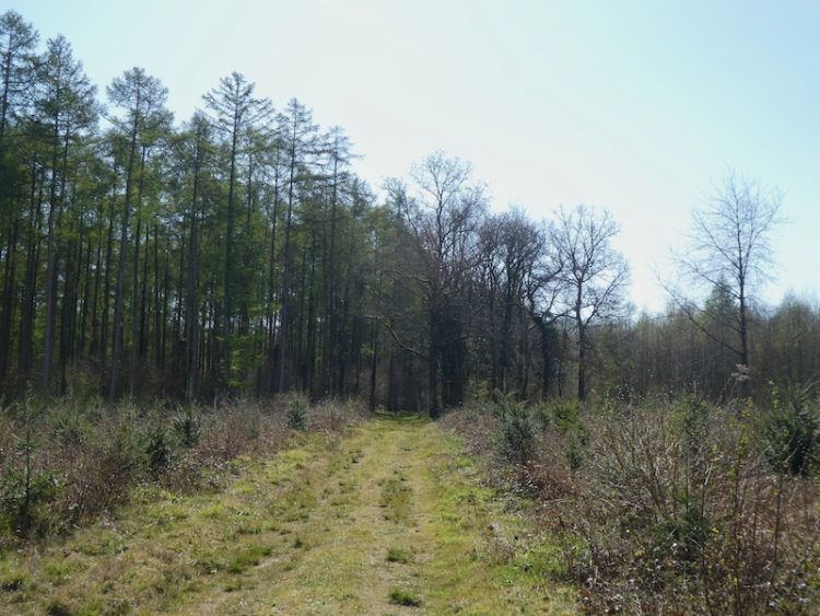
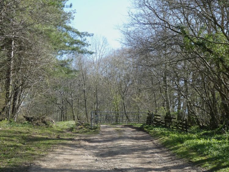
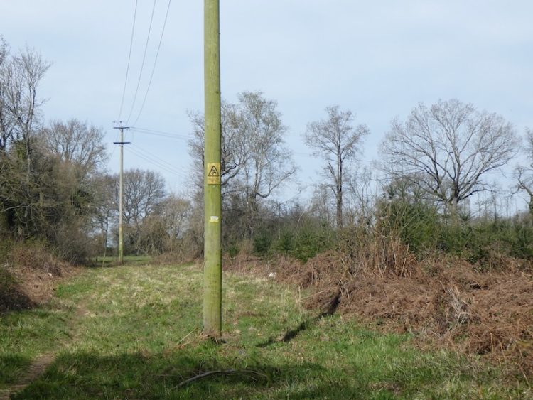
When the footpath joins a forestry track I turn right and follow it for 250 metres to a six-way junction of footpaths. Here I take the forestry track on the left passing besides a metal gate.
I continue along this broad trail for 850 metres until reaching a footpath on the right.
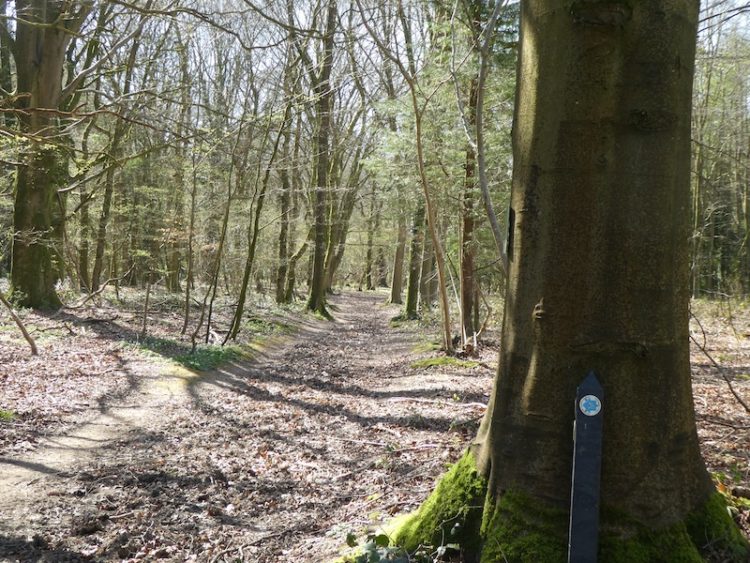
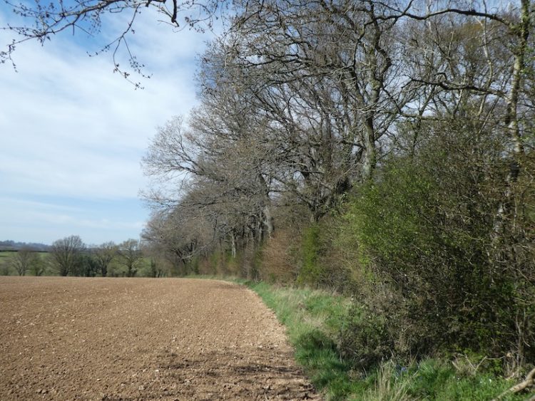
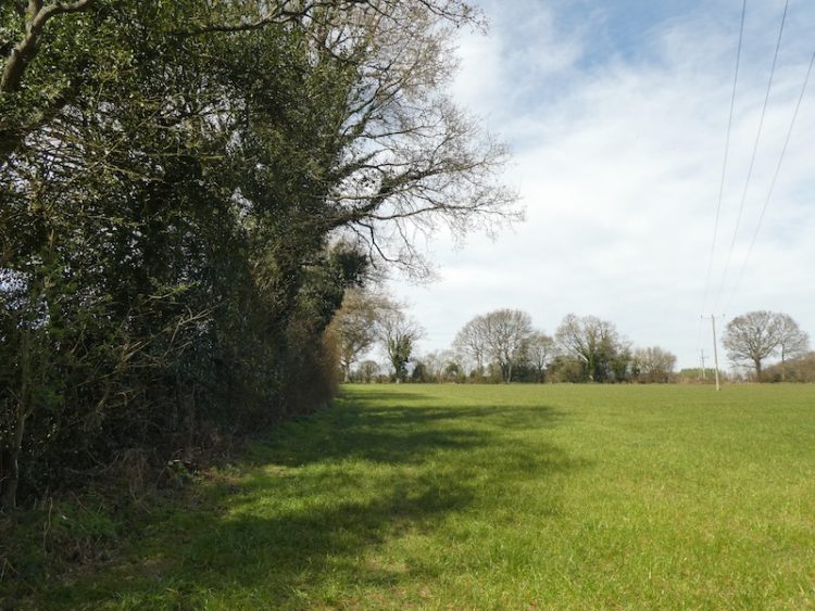
I follow this path south through Houndwood to reach the edge of a field. The path goes around the edge of the field to reach a wide gap in the hedge line where I continue on the grass path between fields.
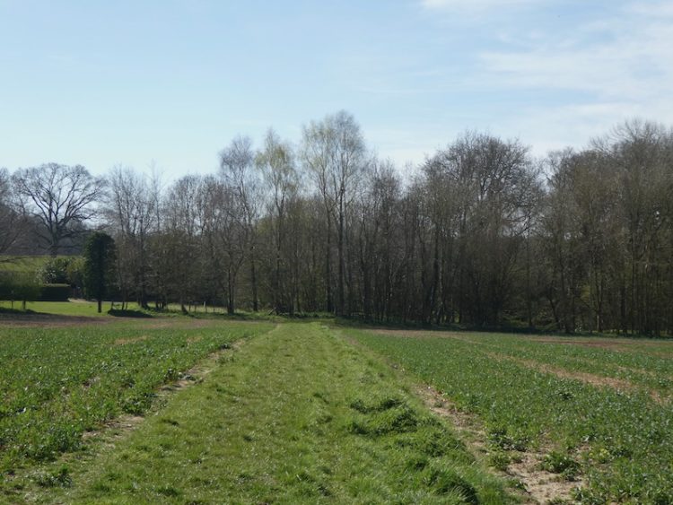
At a junction of footpaths turn right besides a disused pit and enter a field, after 30 metres turn left and follow a footpath diagonally across a field, to the right is a fine view of All Saints Church.
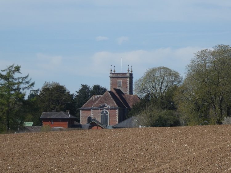
The church was built in 1688 and funded by Sir Stephen Fox, he was born in Farley and assisted King Charles II to escape after the battle of Worcester. For his loyalty to the King he was, after the restoration, appointed Paymaster to the Forces. He was a friend of Sir Christopher Wren and All Saints church is said to be a Wren design, however there is also suggestion that the design was by Alexander Fort, a student of Wren’s. It is known that Fort designed the Almshouses opposite the church, which were also funded by Sir Stephen.
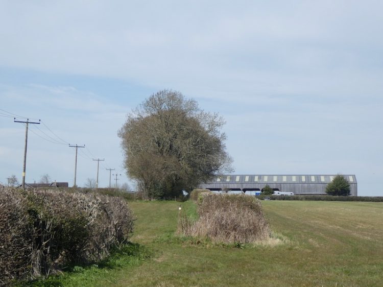
On reaching Church Road I turn left and follow the road for 100 metres, as the road bends the route continues straight on along a driveway to Farley Farm.
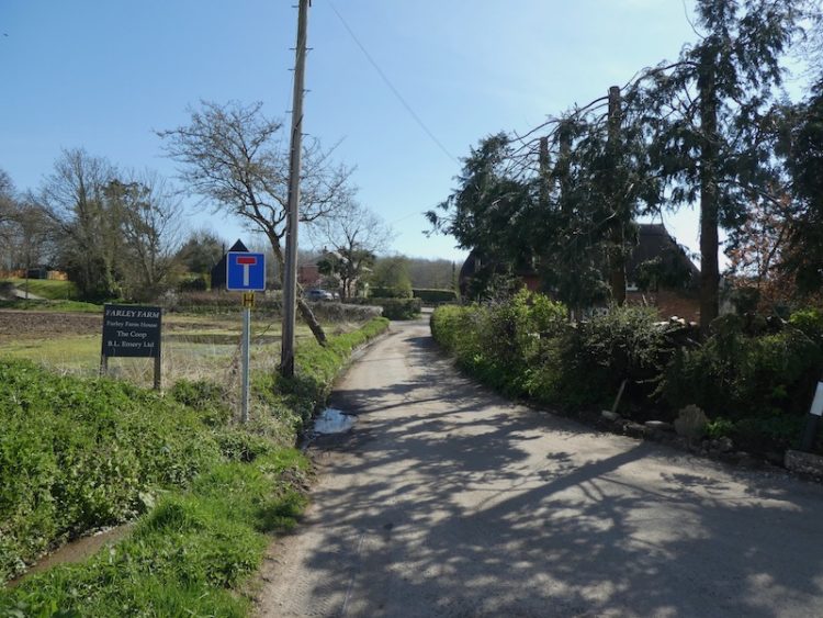
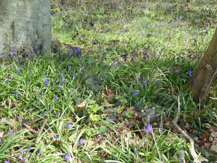
Staying on this tarmac driveway I pass Farley Farmhouse and then the chicken sheds. At the far end of the last chicken shed I turn left on a farm track for 50 metres then take a footpath on the left. This footpath goes along the edge of an arable field. Under the trees to my right Bluebells have already started to emerge.
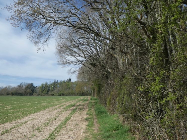
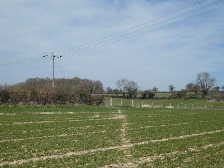
I cross a junction of paths and continue in a westerly direction along the edge of further arable fields.
On reaching a gap at the corner of the field I go through the hedge line to return to the junction of six paths. Now I take the footpath opposite that runs along the edge of the field besides Church Copse.
After 450 metres the way-marked path enters the woodland and then emerges into a clearing besides a new plantation.
I keep on the path to go through a disused pit and then into an arable field.
The path reaches a stile I cross and enter another arable field and cross diagonally to another stile.
I continue along a path with a hedge to the left and on entering another field continue with the hedge now on the right to enter a hedge-lined path to reach stables.
Turning right I go along the track for 200 metres to reach a crossing of paths where I turn left and go through a gate to take the path back to Pitton and my starting point at the Silver Plough.
To follow our walk you will need Ordnance Survey Outdoor Explorer Map 131 – Romsey, Andover & Test Valley.
You can view this 5 mile walk and download the GPX File on OS Maps (OS Maps subscription required)
Additional Information
For more information on this walk including car parking, amenities, refreshments and detailed walking directions visit my associated Walking Moonraker website.
© Two Dogs and Awning (2020)
All information on this site is provided free of charge and in good faith and no liability is accepted in respect of damage, loss or injury which might result from it. To the best of my knowledge the routes are entirely on public rights of way or within areas that are open for public access.
Walking can be hazardous and is done entirely at your own risk. It is your responsibility to check your route and navigate using a map and compass.