

After a couple of days walking Lynnie has decided that Crosby and I should head out on our own today. I have long planned a walk to the top of Dunkery Beacon from Minehead. I’ve walked up Dunkery Hill on a number of occasions but never from Minehead.
Leaving the site I turn left and walk uphill along the pavement besides the A39, Hopcott Road. On reaching The Hopcott I turn left to follow the narrow tarmac lane as it heads steadily uphill passing Higher Hopcott and then reaching woodland.
I ignore footpaths leading off from the road until I reach an information board for Dunster Woods.
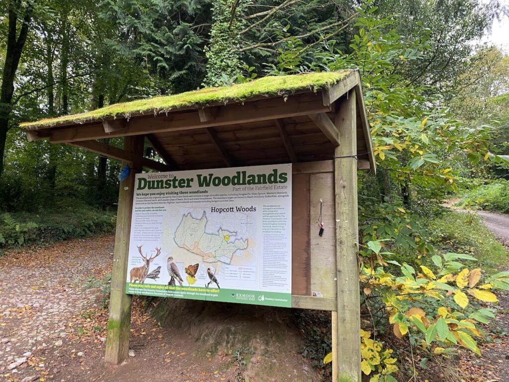
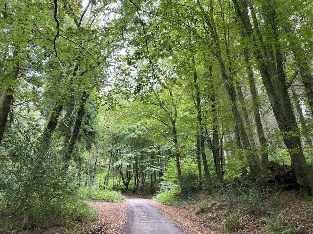
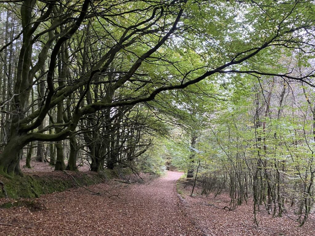
I take the uphill path to the right of the information board on the route of the Macmillan Way West. I ignore a path on the right soon after leaving the car park and then where the Macmillan Way meets a crossing of tracks I continue straight on, staying on the route of the long distance path. The path now goes around the head of Long Combe, this is a cracking spot with stunning Beech trees lining the path.
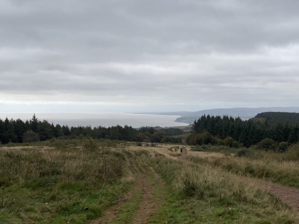
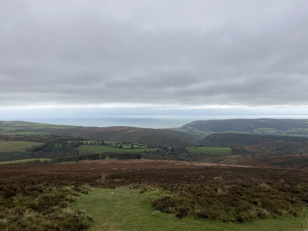
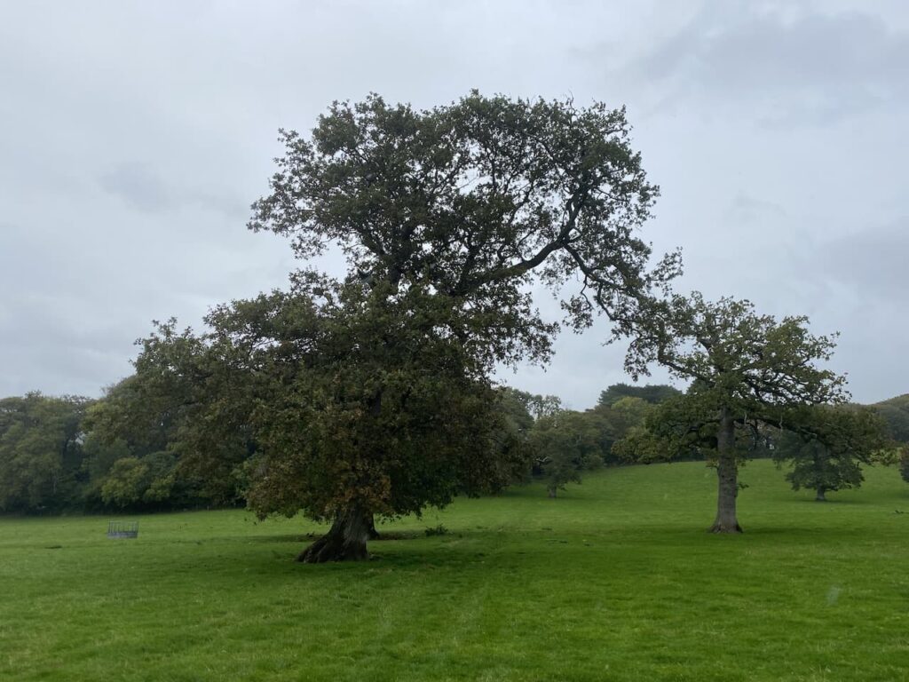
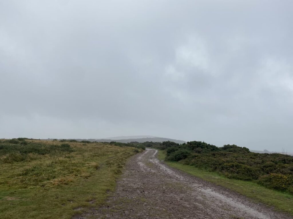
Leaving the trees the path continues through a section of open land with dead bracken and gorse. On reaching a junction of tracks we turn right still on the route of the Macmillan Way West heading towards Tivington across the top of Hopcott Common. At a fork in the track I go left to keep with the Macmillan Way West. There are good views from here back along the coastline towards Blue Anchor.
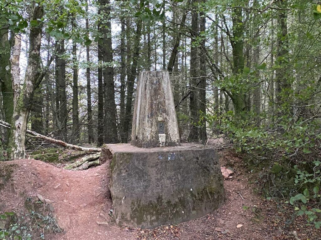
I continue to head west to another crossing of paths. The Macmillan Way turns left towards Wootton Courtney, however, I keep going straight ahead soon reaching an Ordnance Survey trig point tucked to the left of the track on a high bank. This trig on Periton Hill is one which I have bagged a number of times.
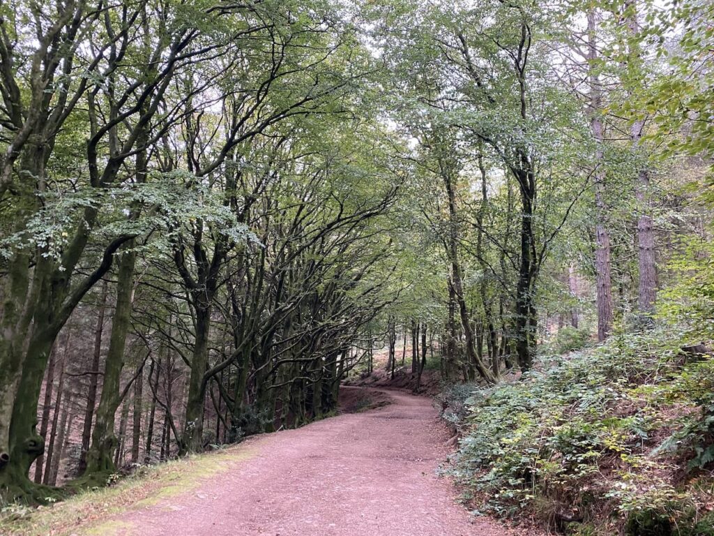
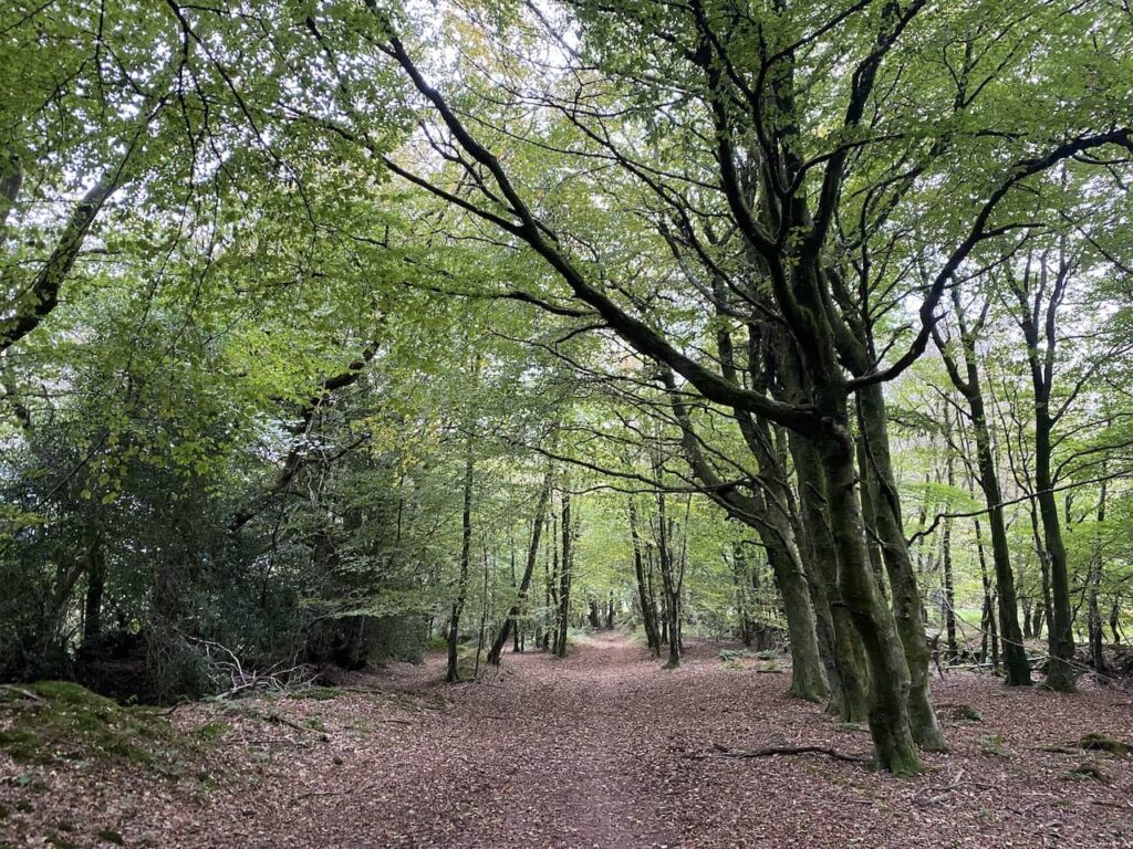
I continue straight on through an attractive area of woodland.
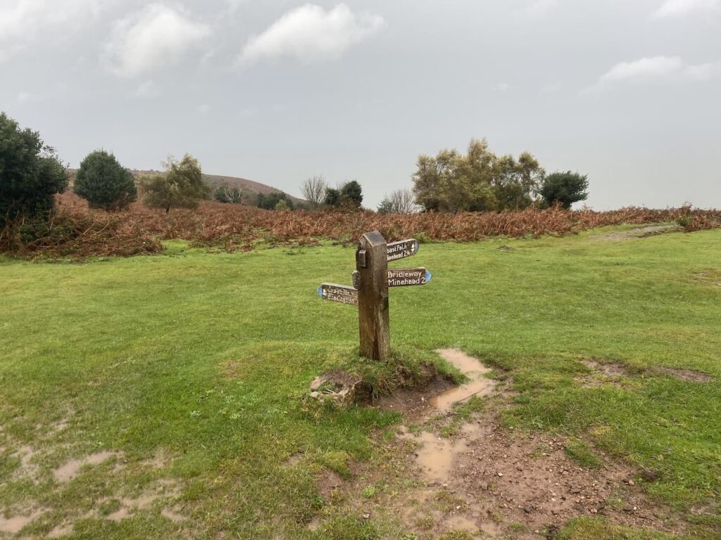
On reaching another junction of paths I turn left on a track leading to Roadway Lane.
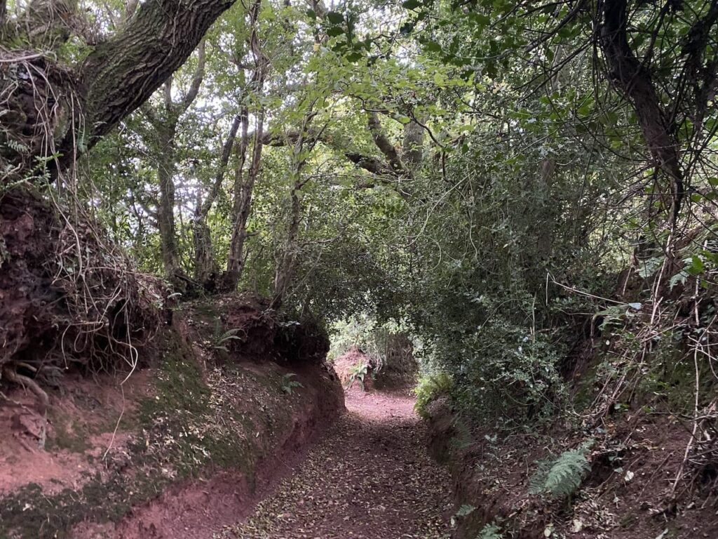
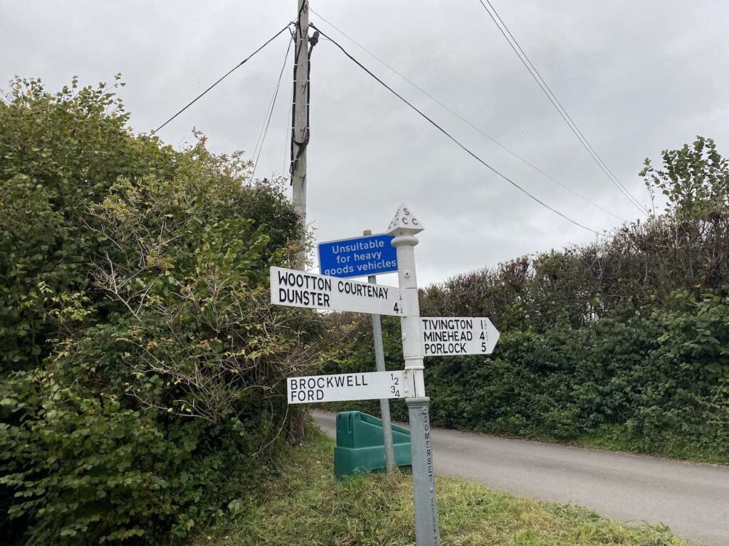
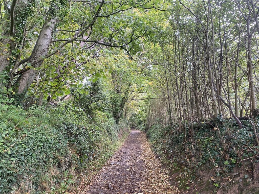
Joining Roadway Lane I follow this ancient track as it heads downhill to Wootton Courtenay.
Arriving in the village I turn right and then after 100 yards at a junction I fork left onto Brockwell Lane towards Brockwell and Ford.
I now stay with this lane to reach Brockwell Farm and then as the road sweeps to the left I continue straight on to join a footpath signed to Dunkery Beacon.
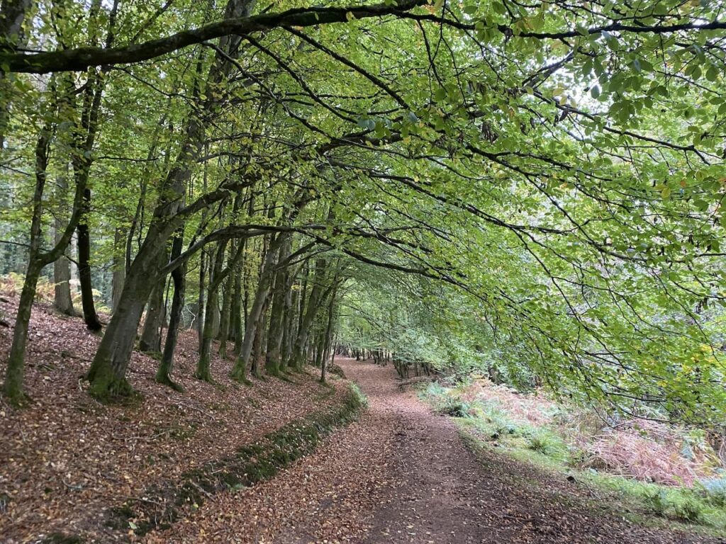
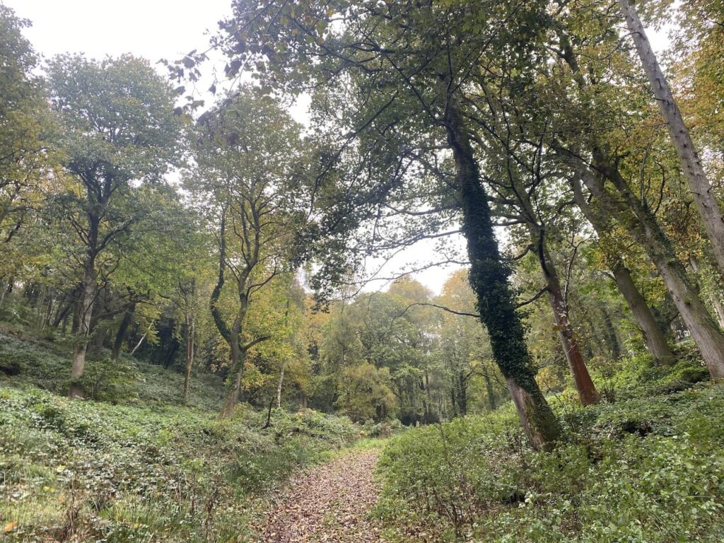
There are a couple of paths here but I follow the one heading south west which soon leads through an attractive area of beech woodland.
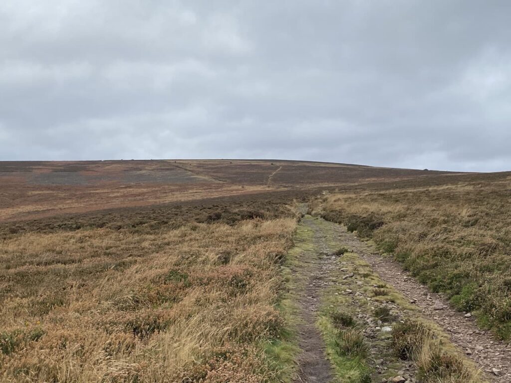
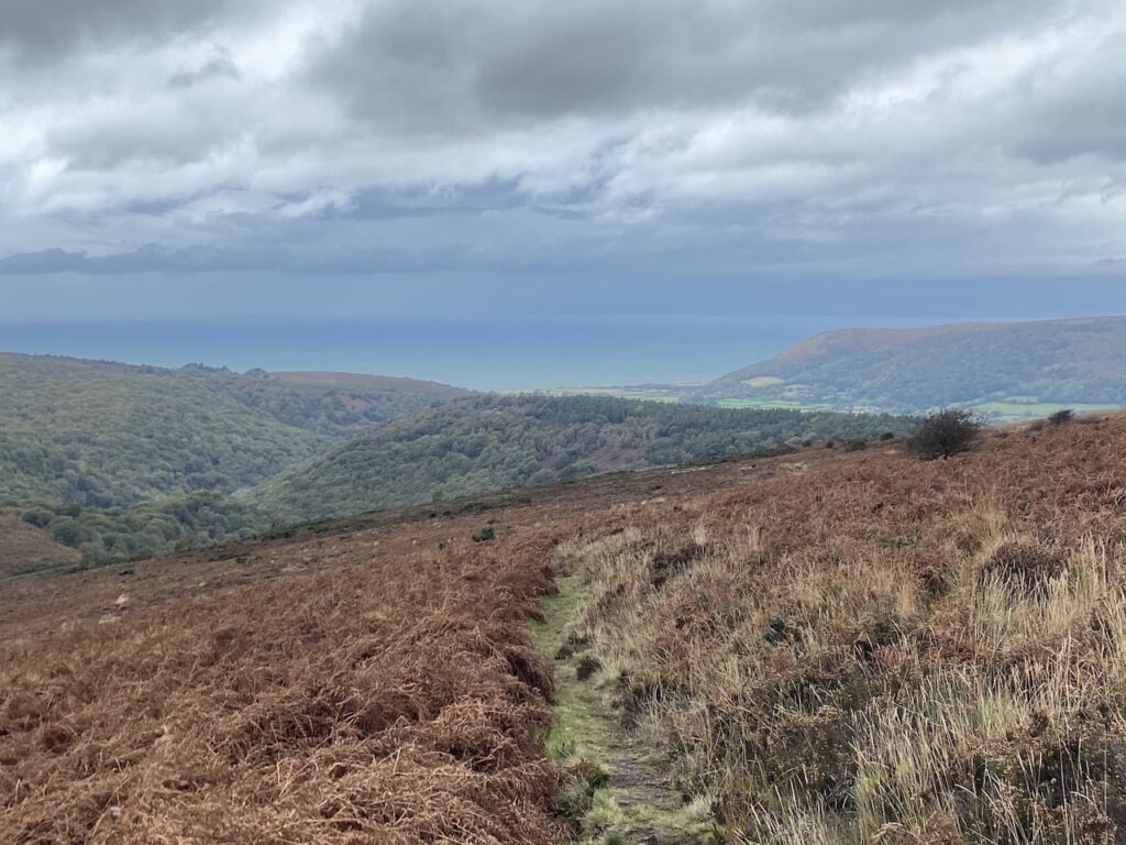
At a crossing of paths I continue straight on through the trees to reach the edge of moorland. Here I keep heading in a south westerly direction and start the gradual ascent of Dunkery Hill.
It is a long steady two mile up hill to Dunkery Beacon but I appear to have the hill to myself so I can enjoy the solitude.
After crossing a minor road I continue uphill along a broad track with the beacon in view in the distance.
As I near the beacon I stop to check out the toposcope. I have been here a number of times, but previously the visibility has been poor.
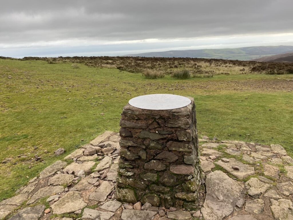
On every occasion I have been here there has been a chill wind blowing and today is no exception. This hill stands at 1,705 feet and is very exposed.
From the beacon I take a grassy path which heads north as it descends the hill.
After a couple of hundred yards I take a path on the right which heads north east towards a minor road.
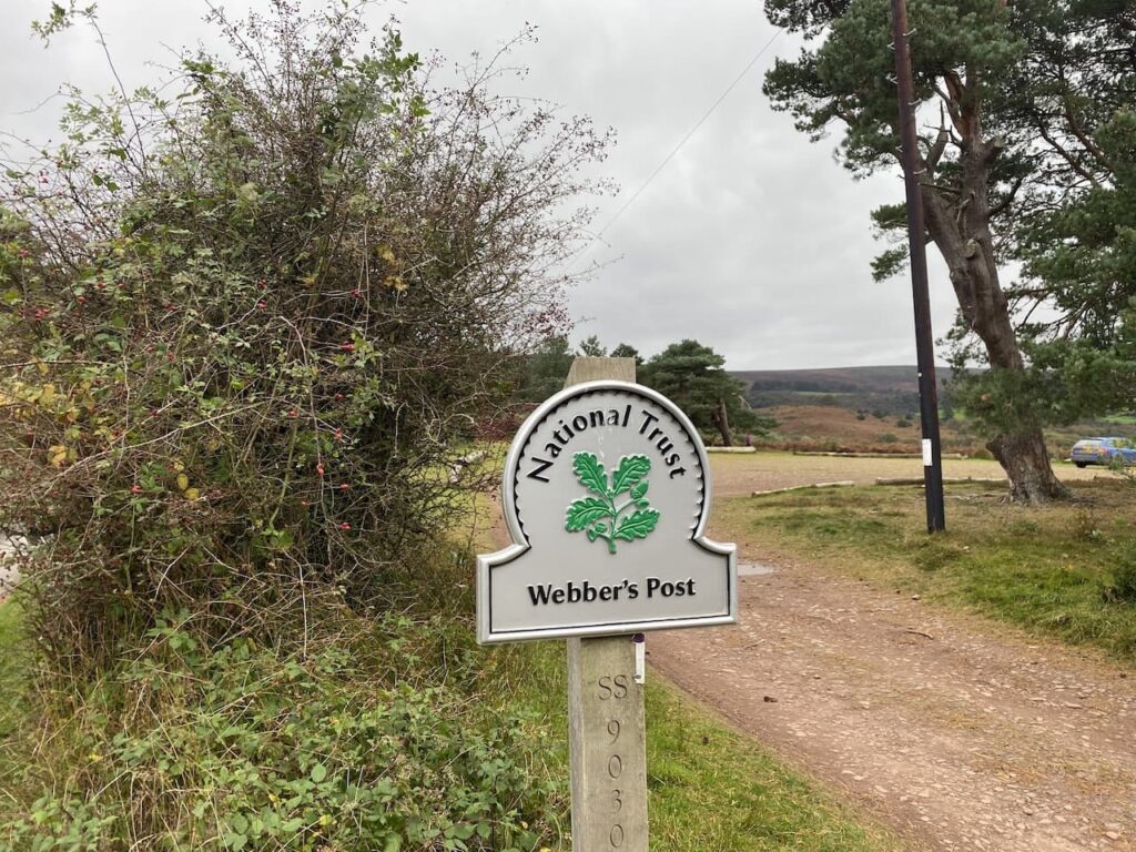
Nearing the road I turn left on a path which initially runs parallel with the road but then joins it and continues downhill to Webbers Post Car Park.
From the car park I join the route of the Coleridge Way. This trail covers the fifty miles from Nether Stowey, on the east side of the Quantocks, to Lynmouth linking locations associated with the poet Samuel Taylor Coleridge.
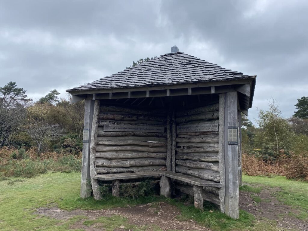
I stay with the way-markers until I reach Jubilee Hut. This is a weather hut thought to have been built originally by the Acland’s who owned Holnicote Estate. Built in celebration of Queen Victoria’s Diamond Jubilee it became known as the Jubilee Hut. During World War II it was used as a look out post, but then fell into disrepair and collapsed in the winter of 1946. The National Trust have rebuilt it, following the original design, facing four directions it always provides shelter from wind and rain.
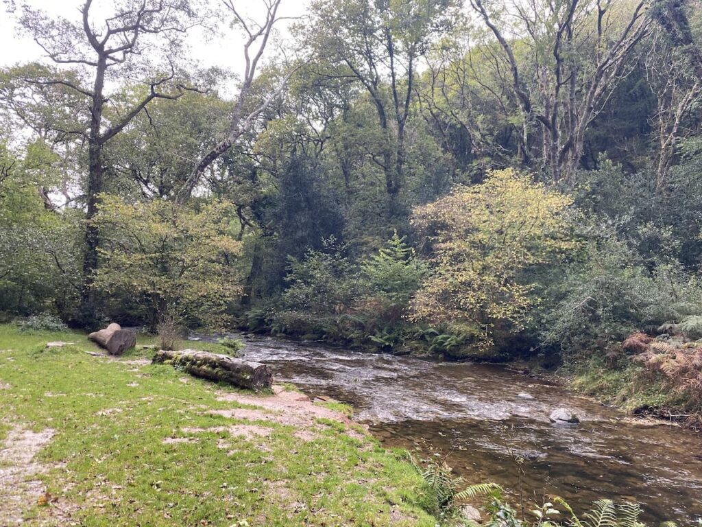
At the hut I leave the Coleridge Way and take a footpath on the left which soon descends steeply towards Horner Water.
On reaching the water I cross on a footbridge and turn right along a track heading towards Horner with the water flowing to my right.
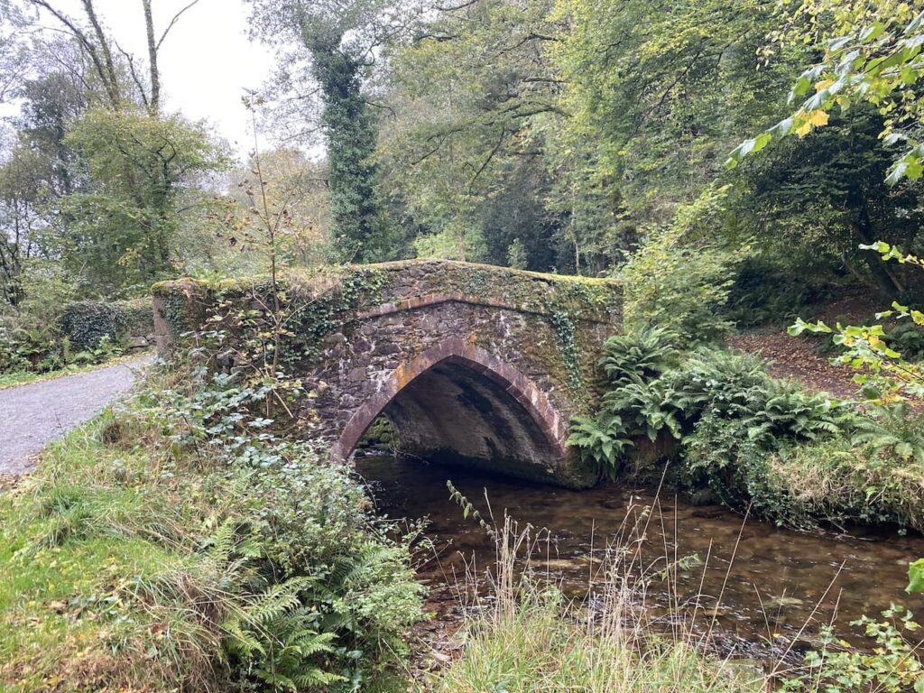
After crossing a bridge I turn left along a minor road and walk through Horner.
I stay with this road heading towards West Luccombe until I reach a footpath on the right which is opposite a campsite on the left. The path goes through a gate and across a field heading east to a band of trees.
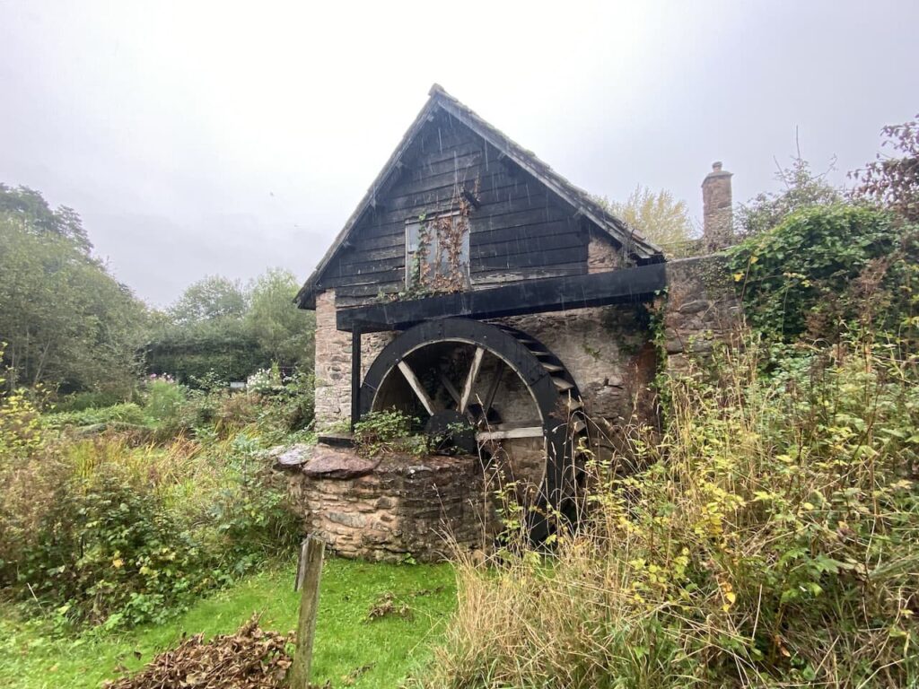
After going through a kissing gate I continue along the edge of a field and then pass through two more fields to reach a minor road where I turn left and follow this lane to Piles Mill. This 16th century mill was originally a corn mill and then between 1930 and 1940 it was used for cider making. Now it is run by the National Trust.
With care I cross the A39 and walk into Brandish Street and turn left to follow a lane to Higher Allerford. Here I turn right to follow a track signposted to Selworthy. This route heads steadily upwards along the track towards Selworthy.
At a junction of paths I turn left and go through a gate to head uphill through Holnicote Combe. Despite walking a lot in this area this is the first time I have walked through this attractive combe.
At the top of the combe I reach a minor road where I turn right and then very quickly take a track on the left leading to Selworthy Beacon.
From the Beacon I follow a track heading east across North Hill. There are a number of paths up here but I know as long as I head east and keep the minor road somewhere to my right I will be fine.
The track leads towards a parking area and soon after passing through it I take a path on the left. This heads north and rejoins the South West Coast path where I turn right and soon go through a gate into an area of pasture.
The path continues close to the road to reach another gate, now I keep going east to reach another parking area. From here I follow a waymarked path indicating it is two miles to Minehead.
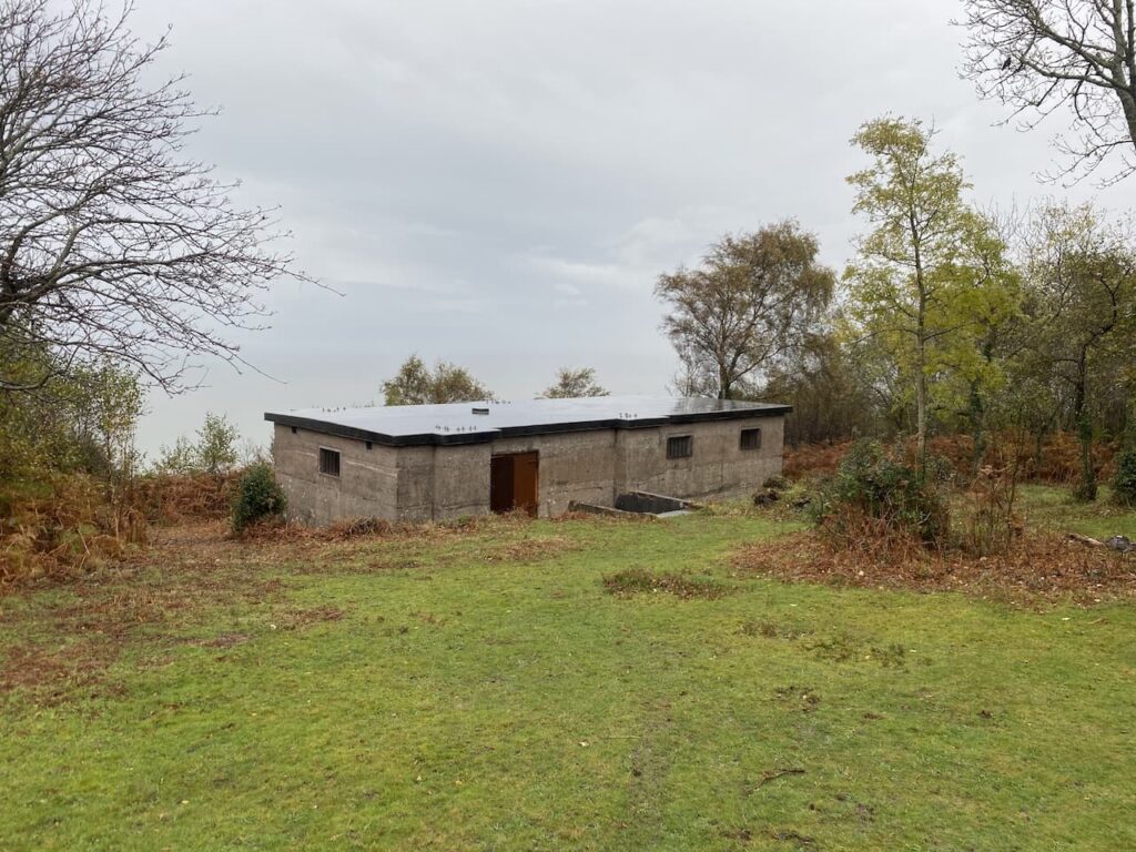
During World War II North Hill was requisitioned and local farms evacuated so the area could become the Minehead Armoured Fighting Range. It is not long before I start to see signs of the construction that took place to enable the tank movements and the strategically placed Radar Station. This station was built in 1942 and formed part of a network of 244 similar stations across the Country constructed between 1937 and 1944.
The purpose of these stations was to plot the German Luftwaffe aircraft and guide British pilots. During World War II Lynnie’s mother was stationed in a unit like this in South Devon.
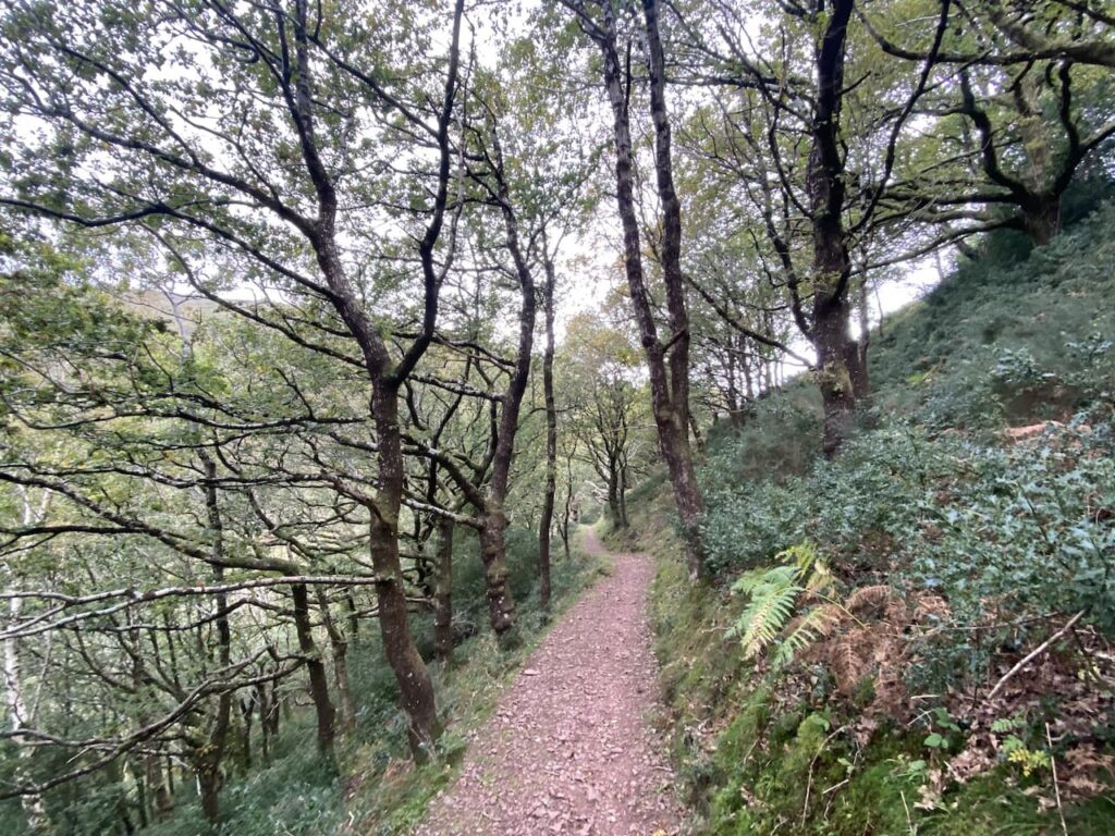
I now continue along a track which leads into woods above Culver Cliff.
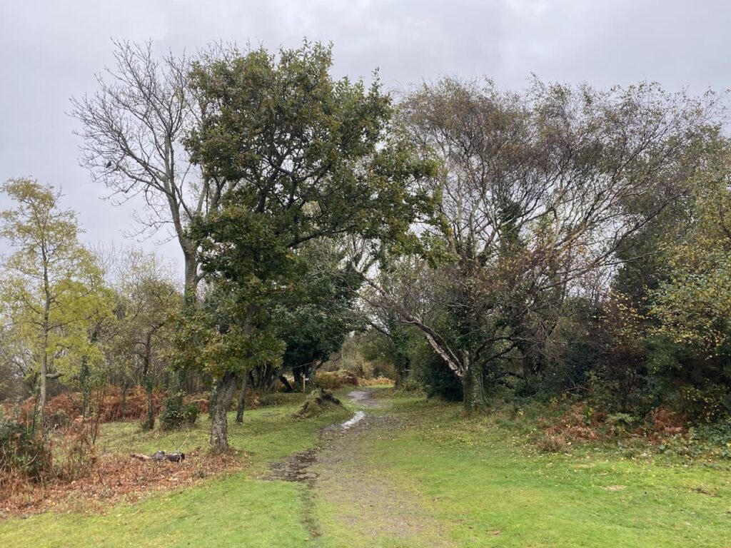
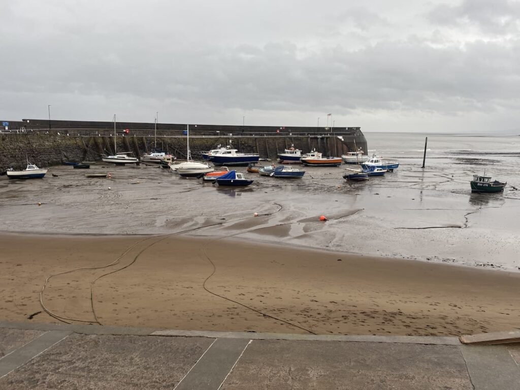
There are an extensive network of paths that zigzag down through the trees. I know that as long as I keep descending and follow the way-markers towards Minehead I will eventually end up in the town. The route I take arrives at the sea front by a park where I then walk besides the road to reach Minehead Harbour,
From here it is a case of following the roads through Minehead to return to the caravan site to find out how Lynnie has spent her day.
To follow my walk, you will need Ordnance Survey Explorer Map OL9 – Exmoor
You can view this 19 mile walk and download the GPX File on OS Maps (OS Maps subscription required)
28th October 2021
© Two Dogs and an Awning (2021)