
For many years I have intended walking from Pitton to Clearbury Ring. As a circular walk it is over twenty miles, a distance I walk regularly. In normal circumstances, when travelling with the caravan, time at home is filled with catching up on jobs around the house and garden. So I don’t often take a day out for walking long distances. However, with the current restrictions on travel getting out for a whole day sounds perfect.
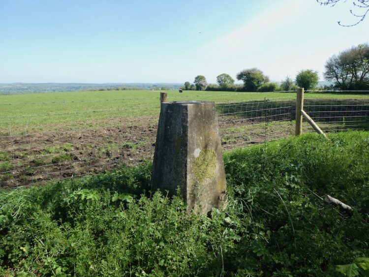
I have two reasons for wanting to visit Clearbury, there is a trig point I have not previously bagged and it was a spot we would often look towards when I was a teenager helping Jack Judd with his harvest. It was always a diversionary tactic to take a breather, when it got hot working in the field stooking or collecting sheaves. We would ask Jack to identify points on the skyline of which Clearbury was always a favourite.
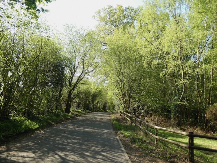
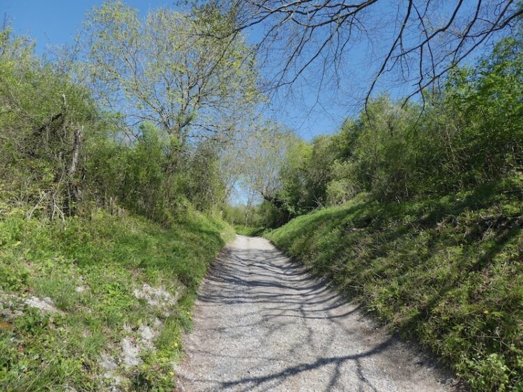
I start my walk from outside the Silver Plough pub in Pitton. Leaving the car park I cross the road and take the track to the left of the village hall passing the village playing field. Just after the tennis court the footpath leaves the track and follows a parallel route on the left. This leads into a copse where just after passing Coldharbour Cottage I fork left and head steadily uphill through the copse to reach a fence lined path along the ridge with memorial benches.
At a junction of paths I continue straight on along a track, Cock Road, so called because in medieval times local peasants used to net Woodcock along it.

I stay with this track until I reach a tarmac drive where I continue straight on to a junction with Lucewood Lane. Here I turn right and walk along the road. At a T-junction I turn left on to Clarendon Road and after a couple of hundred yards fork right into Green Drove.
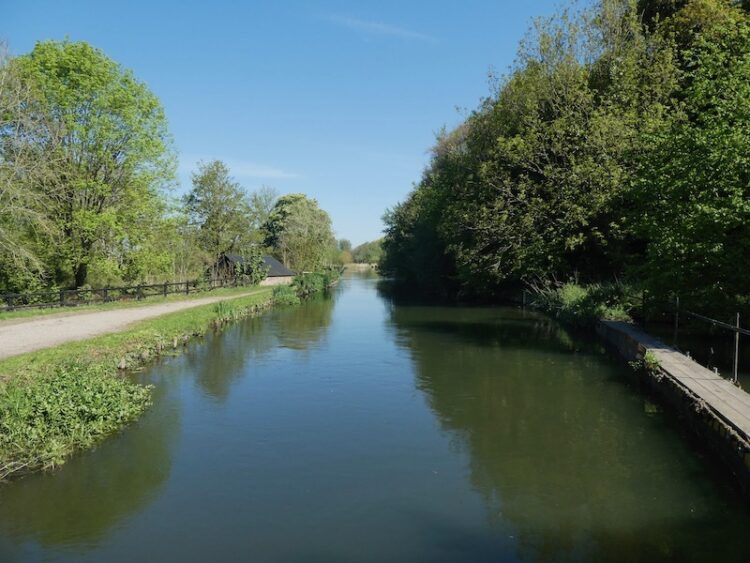
At the bottom of the drove I carry straight on to cross the River Dun and then go under the railway bridge. Here I leave the road and take a footpath directly opposite.
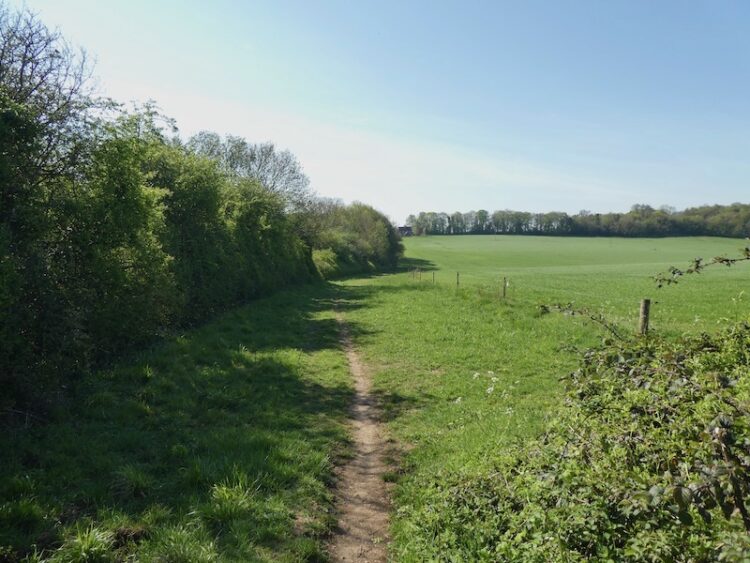
On reaching a road I turn right and walk through the village of West Grimstead. The early morning chill has gone from the air and I stop at a bench on the green to take a layer off. Resuming my walk I follow a path that runs inside a hedge parallel to Grimstead Road.
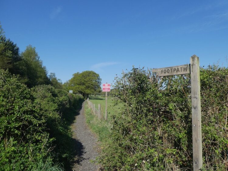
Nearing Alderbury the path joins a pavement and crosses the A36. I then continue down the road to a junction where I turn right onto the Southampton Road. Prior to the by-pass this was the main Salisbury to Southampton route. Within a hundred yards I turn left opposite the village shop to walk along an unmade road, Castle Lane. When the lane forks I go left and then join a footpath on the right and stay with this to pass Matron’s College Farm.
This footpath crosses the disused Salisbury and Dorset Junction Railway and continues on a clear track across arable fields.
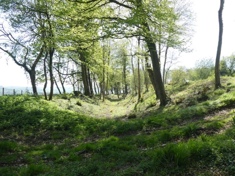
At a junction of footpaths I turn right and then after crossing the disused railway line again turn left and walk along a permissive route parallel to the railway line. The Salisbury and Dorset Junction Railway was an 18 mile line spurring from the Salisbury Southampton line at a junction in Alderbury through Downton and Fordingbridge to West Moors where it connected with the main Southampton to Dorchester line. The line was completed in 1866 and operated until May 1964. This section of the line ran through a deep cutting.
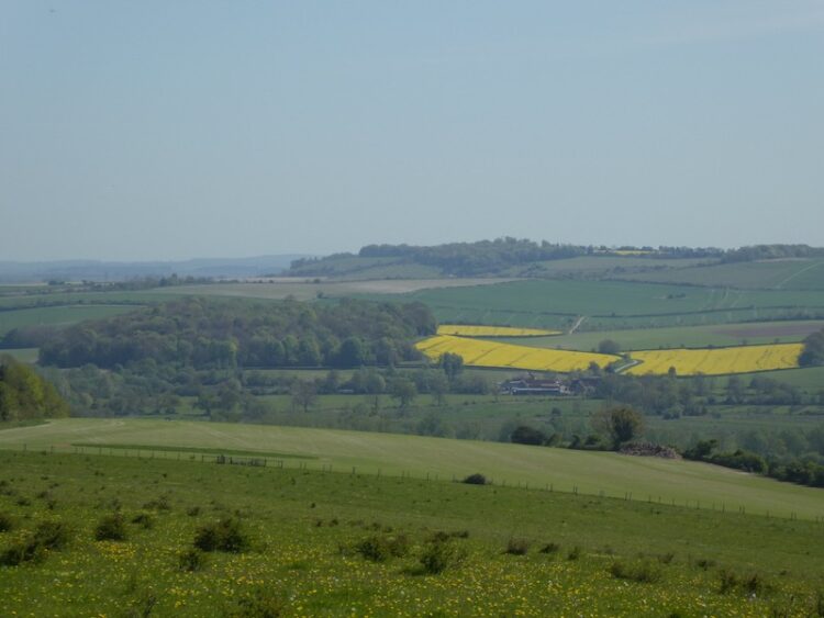
To my right I get a good view of Clearbury Ring in the distance it will be a couple of hours before I am up there. I keep the disused railway to my left until I reach Four Gates, after passing through a gate I turn right and walk along a minor road to reach a junction with Witherington Road where I turn right and follow this minor road downhill towards Standlynch Farm. Just before the entrance to the farm I take a footpath on the left which heads into woodland.
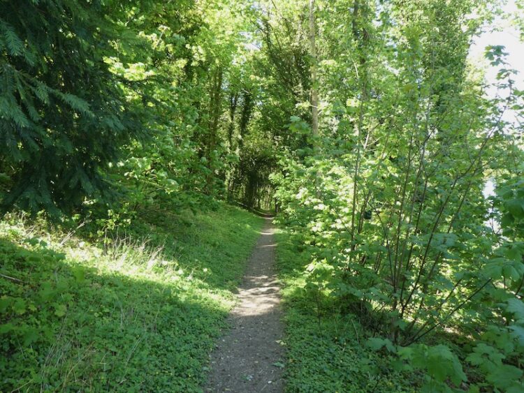
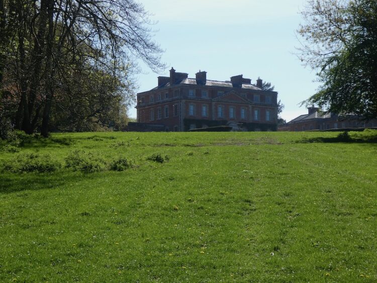
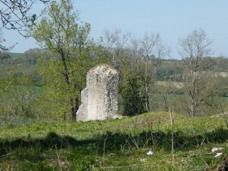
These woods are part of the Trafalgar Park estate and after passing through a gate I catch a glimpse of the main house. As you might imagine with a name like Trafalgar this estate has connections with Admiral Horatio Nelson. Following Horatio’s death at the Battle of Trafalgar in 1805 his brother Rev William Nelson was created 1st Earl Nelson and apparently lobbied Parliament for an estate in recognition of his brother’s service to the nation. Standlynch Park was the location chosen by the Treasury and it was renamed Trafalger Park. Descendants of Horatio Nelson lived here until 1948 when it was sold by the 5th Earl Nelson.
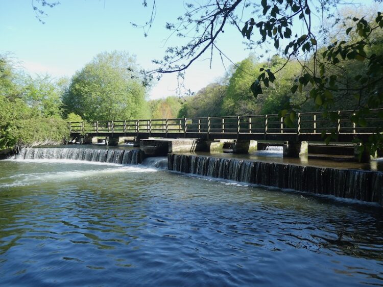
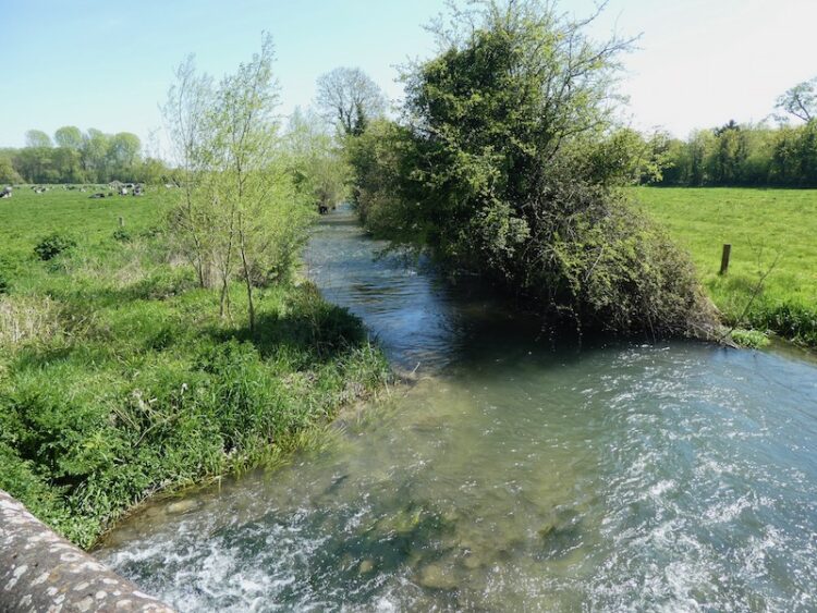
After crossing a field I go through another gate to follow a track through woods. I stay with this path until I reach a concrete path. Here I turn right and head downhill to reach the disused Standlynch Mill.
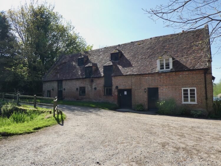
This is a cracking spot besides the River Avon.
The footpath goes over weirs on the river. I have not visited this spot before it is absolutely stunning. I will have to come here again with Lynnie.
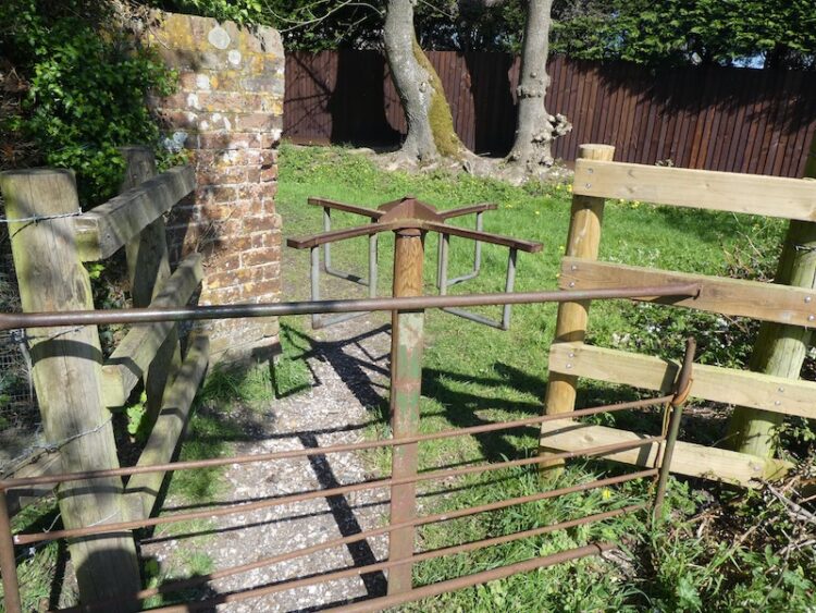
After a series of small footbridges I reach a field and fork right to head towards Charlton-All-Saints. The exit from the field is by way of an unusual turnstile gate. I cannot recall passing through a gate like this before.
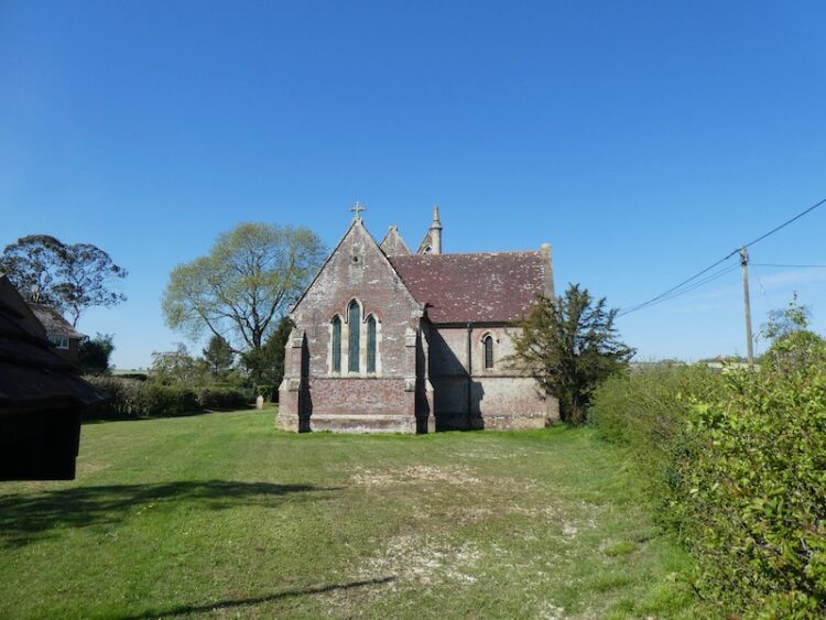
I now turn left along a path to reach a road running through the village where I turn right and walk along Lower Road. At All Saints Church I turn left into Church Lane.
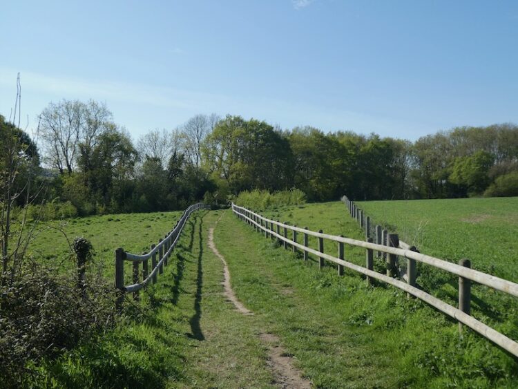
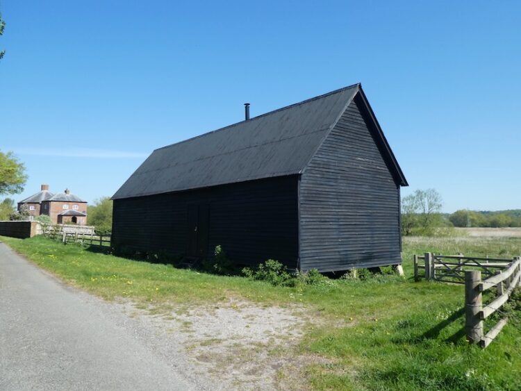
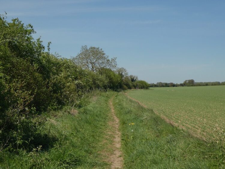
After a few hundred yards on Church Lane I take a footpath on the right across a field. This is the Avon Valley Path and I stay with it to cross further fields to reach a minor road where I turn right and follow the lane passing old barns and Matrimony Farm House.
At a footpath on the left I leave the road and cross a field to reach the A338 which I cross with care to join a footpath heading uphill besides a field. I stay with this path as the Avon Valley Path goes through a gate on the right.
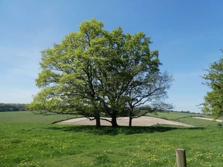
This is a steady ascent and after going through a gate carries on along the edge of a field of pasture to reach Clearbury Hill fort. This is an impressive fort much of which is amongst trees.
I make a brief diversion here to visit the trig point which is to the right, on the edge of the ring.
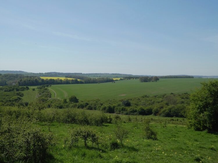
Back in the pasture field I take a few moments to admire the view. I can see for miles, but cannot immediately pick out the spot back in Pitton from where I used to look at this ring.
The path follows around the ring on Clearbury Down. After passing through a gate this becomes access land, I stick to the path continuing around the ring and then heading south looking towards the Cranborne Chase.
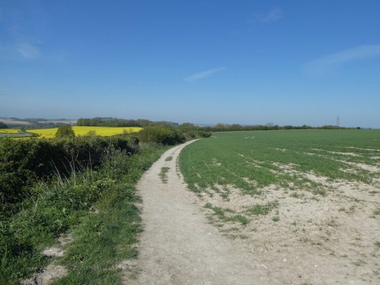
The path descends steadily and then joins a track that heads uphill to a junction of tracks. I turn right along a wide drove to reach the entrance to Yew Farm. Here I continue straight on along a minor road towards Odstock Copse. There are fine views to my left.
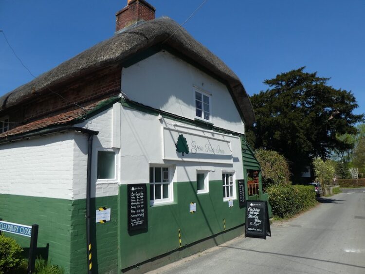
After going through Odstock Copse the road starts to descend to reach Odstock by the Yew Tree pub.
At a crossroads I continue straight on along Odstock Road soon crossing the River Avon.
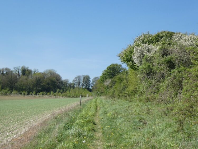
As the road bends to the right I take a footpath on the left which initially goes through bushes and then reaches arable fields.
This is a well-worn path that I follow heading west. I ignore a path on the left and continue to a crossing of paths. Here I turn right and go steadily uphill. This path crosses a drove and continues up towards houses.
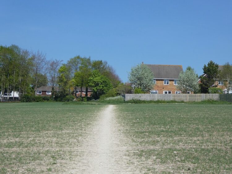
It then descends down steps to reach the A354 which I cross and take a footpath opposite. Initially fenced this path soon reaches Bouverie Avenue South which I continue on as the road sweeps into Bouverie Avenue I take a footpath directly in front of me between properties. This leads to steps which I take to head to the right and downhill to reach the Old Blandford Road. From here I continue downhill to a junction with the A3094.
I turn right and then cross the road at traffic lights and then turn left into Harnham Road. This is the first time I have been in a built up area since the start of the lockdown, it is immediately noticeable how everyone is walking well away from each other. With so little traffic about some are walking in the road. I pass the Rose and Crown Hotel and continue towards Salisbury.
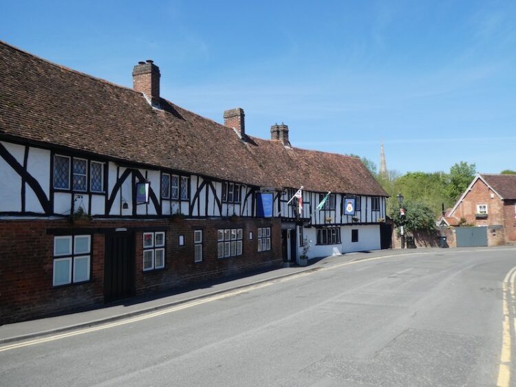
To ensure I give people a wide berth I avoid the Cathedral Close, instead I follow the wall of the Close until I reach Exeter Street. I am surprised how few people are in what is normally a busy street. So rather than navigate a route through back streets I pass the White Hart Hotel and continue into Catherine Street. At the junction with Milford Street I turn right and head out of the City Centre.
After passing under the ring road I continue up Milford Hill. I have recently been researching my family history and was surprised to discover that my grandfather owned a house on this road. His daughter and her husband lived in it and when my father left school he lived with them. It was whilst he was living there that he met my mother. They both came from Southampton but met in Salisbury in the mid 1940’s and their courting continued after my mother’s family returned to Southampton.
At the top of Milford Hill I fork right into Shady Bower following it as it descends to Milford Mill Road where I turn right and continue along to cross the River Bourne.
After the river I turn left into Queen Manor Road and stay with it until I reach the gates to Clarendon Estate at Rangers Lodge. I am now on the Clarendon Way and follow the Estate Road before forking right onto the footpath to cross a field heading towards Kings Manor Hill.
The path continues up a track and as it bends to the right I continue straight on to visit the remains of Clarendon Palace. This Royal Hunting Lodge was a major residence of Kings from the reign of Henry II to Henry VII. When I was a youngster this site was overgrown and the ruins were lost in the undergrowth, now they have been cleared and it is an interesting and historic spot to visit.
I leave the site of the palace by a gate in the north east corner and rejoin the Clarendon Way and turn left along a track. Within a hundred yards I fork left leaving the track to follow the Clarendon Way sign into the woods.
I now stay with the Clarendon Way as it follows a clear path through the trees to reach farm buildings and then continues around the back of Four Cottages and then back into Pitton. At the cross roads I turn right and walk up White Hill to reach my starting point at the Silver Plough.
To follow my walk you will need Ordnance Survey Explorer Map OL131 Romsey, Andover & Test Valley; and OL130 Salisbury & Stonehenge
You can view this 20 mile walk and download the GPX File on OS Maps (OS Maps subscription required)
Additional Information
For more information on this walk including car parking, amenities, refreshments and detailed walking directions visit my associated Walking Moonraker website.
21st April 2020
© Two Dogs and an Awning (2020)
All information on this site is provided free of charge and in good faith and no liability is accepted in respect of damage, loss or injury which might result from it. To the best of my knowledge the routes are entirely on public rights of way or within areas that are open for public access.
Walking can be hazardous and is done entirely at your own risk. It is your responsibility to check your route and navigate using a map and compass.