Last year whilst driving from home for a walk in the Pewsey Vale I had to make a diversion due to a road closure. The revised route took me through Market Lavington and I realised I had never visited the village. On numerous occasions I have driven along the A360 which goes through nearby West Lavington, but had never turned off. So today we are going to explore the area and start a walk from Market Lavington.
The starting point for our walk is the car park of Market Lavington Community Hall in St Mary’s Road (SN10 4DG) (Grid Ref: SU013541). We start by walking up towards St Mary’s Church, parts of which date from the 13th century with further additions in the 14th and 15th centuries. Major restorations took place in 1864 and 1910.
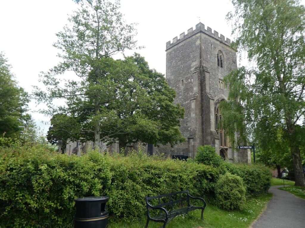
We take a path that goes north besides the church wall and then through the corner of the churchyard to reach houses. We we follow the estate road down to reach Grove Road where we turn right and follow the pavement to a mini roundabout. Here we take the first left into Canada Rise and head uphill. Just before reaching houses we take a footpath on the right and follow this until we reach a road where we turn left and walk along the pavement for just over a hundred yards and then take a bridleway on the right.
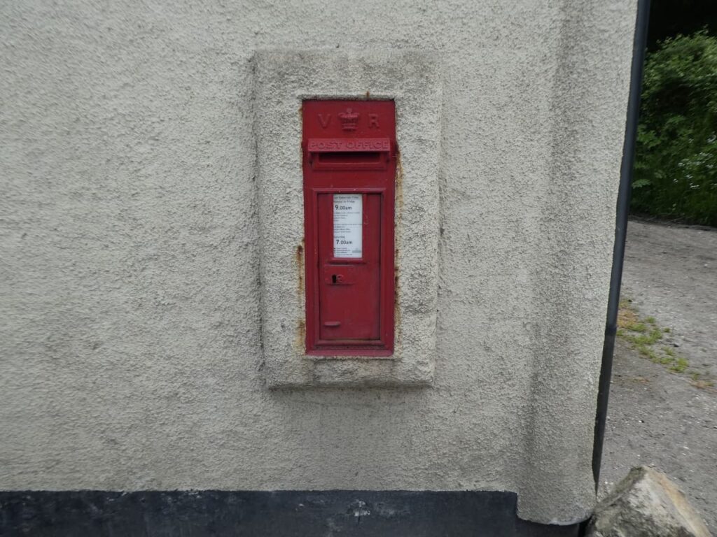
This track soon forks and we go right and follow a path between fields to reach a junction of paths where we turn left and then at the end of that field fork right and continue on to reach a junction of tracks beside a cottage on Kings Road. In the wall of the cottage is a Victorian post box.
We now follow Kings Road, which is a narrow lane, to reach a junction. Here we go straight on along a lane called Eastern Sands and keep going until we reach Sands Farm. We fork left and then almost immediately take another fork to the right to follow a lane down through West Wood.
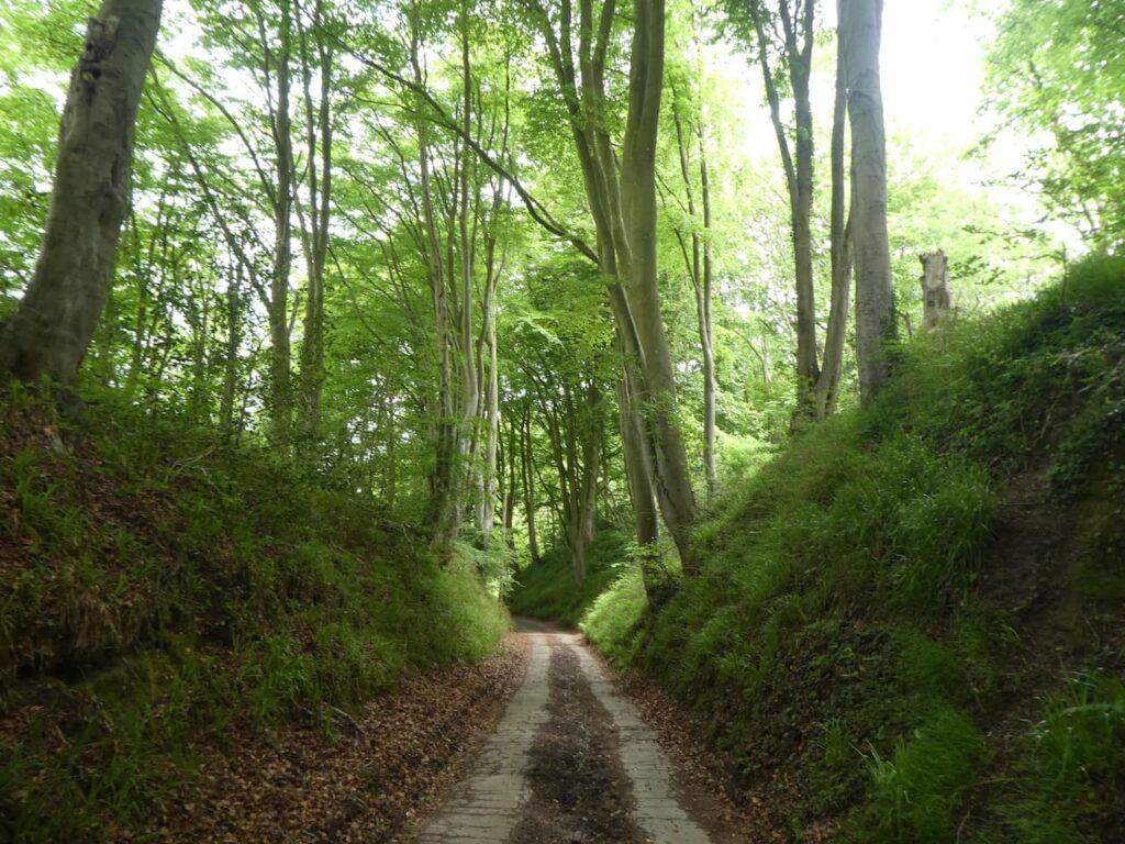
This lane leads past Forest Farm and then goes under a railway line and continues on a grassy track in open countryside.
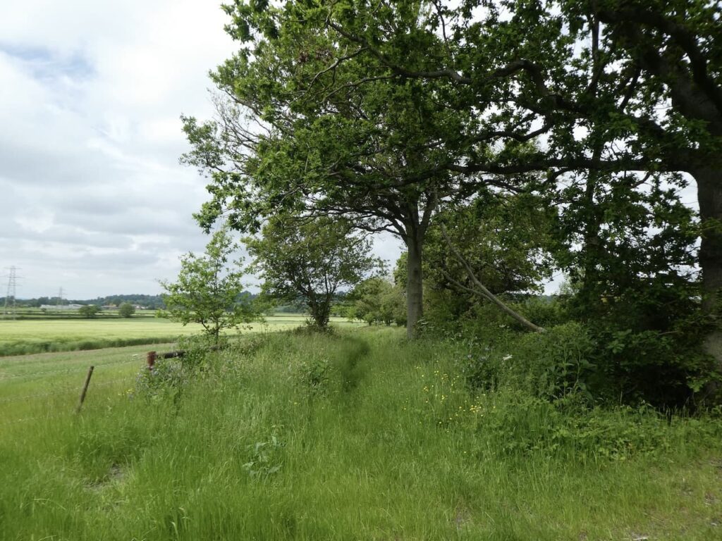
On reaching a gate we turn left and follow a farm track which soon bends to the right and heads west towards Potterne Wick. The path leads us to a paddock where the horse is very interested in us and follows us towards a stile on the far side.
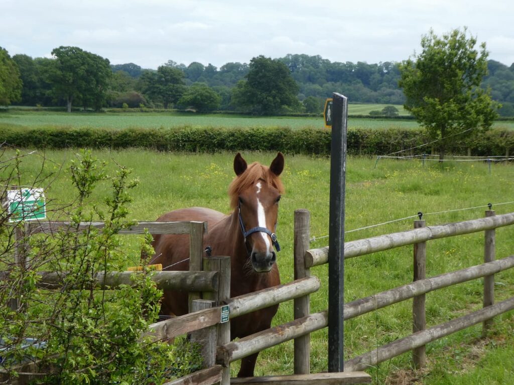
We have now joined the driveway to Potterne Park Farm and we continue along this towards Potterne Wick. At a junction of paths we continue along the lane and then a few hundred yards later take a footpath on the right leading through a field of free range chickens and then over a stile to a lane which we cross to continue along Saddleback Lane.
This lane heads uphill and when the houses end we continue on a footpath following a fine sunken track lane.
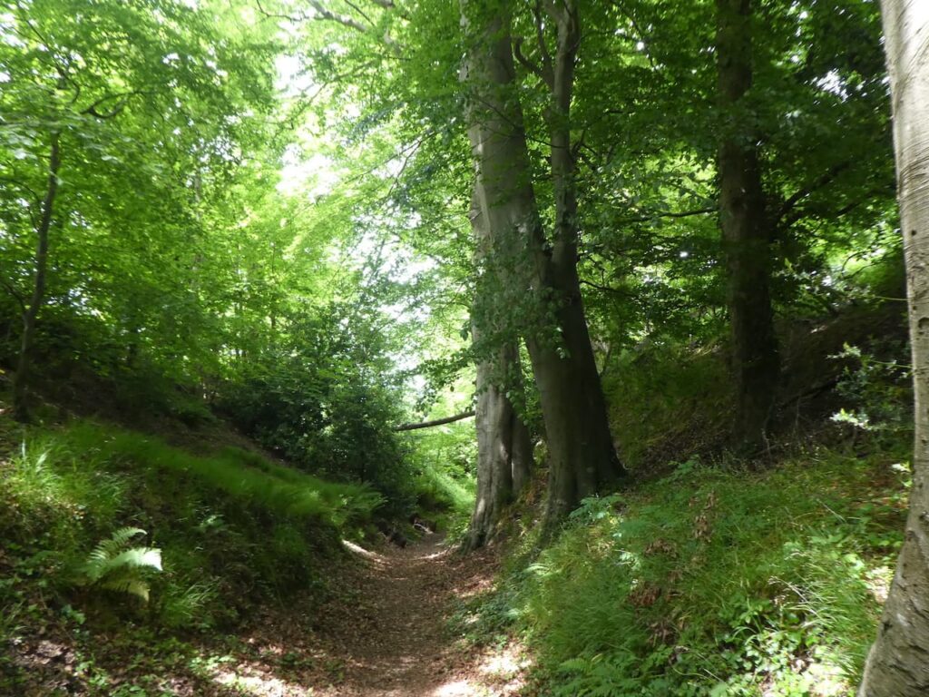
On reaching a cottage we join a tarmac lane and continue downhill to a junction of lanes where we go right uphill on a lane heading north. After passing the post office we turn left to walk on the pavement besides the A360 to reach the entrance to St Mary’s Church.
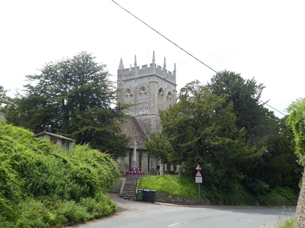
It is time for lunch so we enter the churchyard in search of a bench and find a spot tucked behind the tower providing a pleasant view. The A360 passes below the church but we are high above it so not disturbed. Refreshed we resume our walk and return to the road and follow the pavement to reach a junction we leave the A360 to join Mill Lane heading downhill until we reach a lane where we turn left and then almost immediately take a footpath on the left besides a water pump.
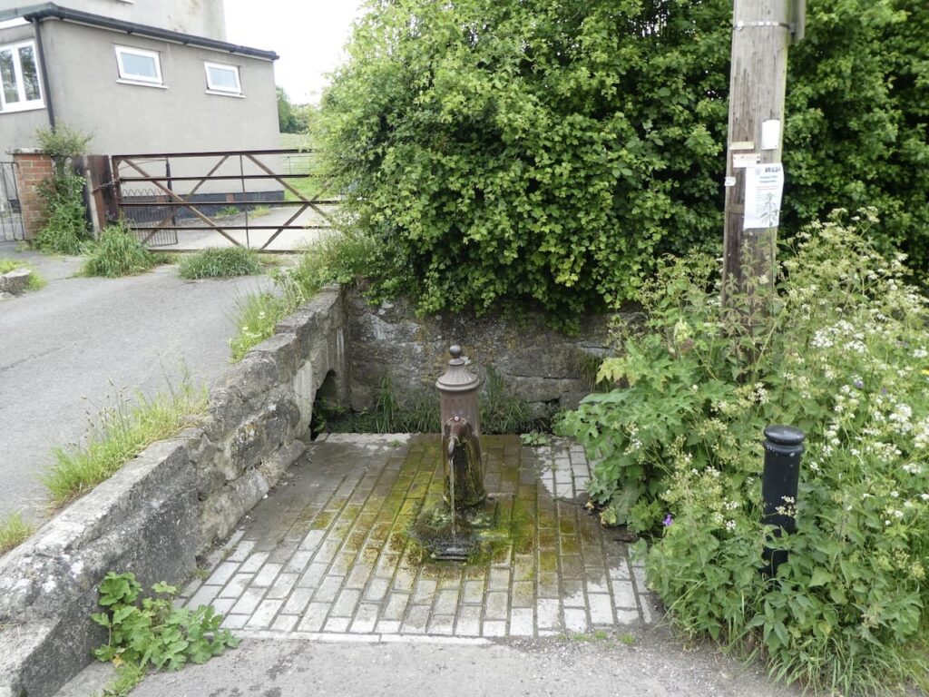
This path leads through a farmyard and then continues across fields to reach a lane where we turn left and then after about 100 yards take a footpath on the right and stay with this path in a south-westerly direction towards Ware Farm.
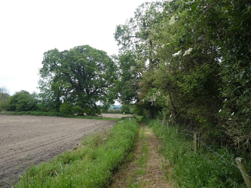
At a crossing of tracks near a barn at Ware Farm we go left and follow the path through a large arable field.
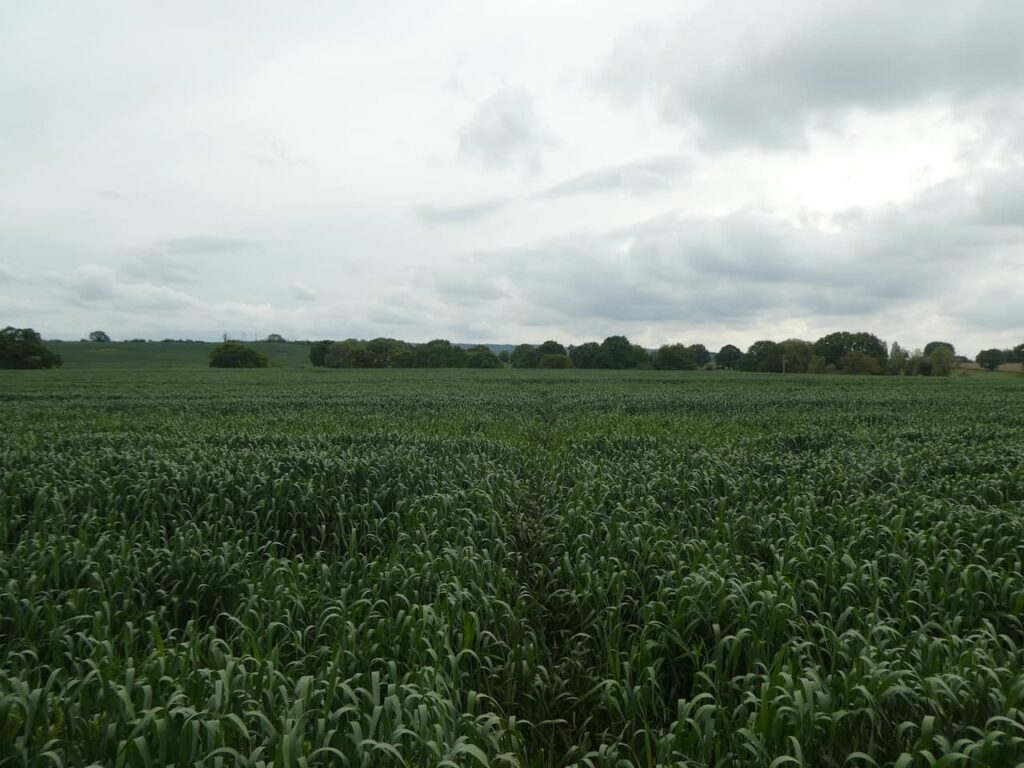
We go into another field and continue heading east across fields. At a junction of paths we turn right and continue across fields on a path that goes close to Larborough Farm. The path descends to a large indoor pig unit. It is not particularly well marked and in parts is overgrown as we cross a stream and beat a route which continues with the farm barns on our left. It is irritating when landowners neglect footpaths or allow the way-markers to become obscured. I often wonder if this is a deliberate act to try and discourage walkers.
On reaching a road we turn right and walk with care beside the road to reach South Cross Lane where we turn left and follow this lane past farms and Great Cheverell Mill, this was built in the 19th century and has now been converted to a private house.
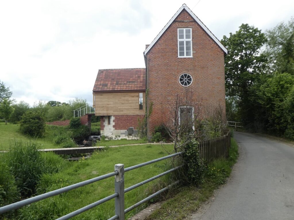
We stay with the lane which has now become Cheverell Green Road and then The Green which leads into Great Cheverell. The sign announcing the village is a long way from the centre and when we finally reach the High Street we turn right and head uphill. At the Kyte’s Garage we turn left at Hill Corner.
After passing some houses the lane becomes School Lane and we follow this into Little Cheverell. On reaching the B3098 we turn left and walk on the pavement until we reach the entrance to St Peters Church. The tower on this church was built in 1291 whilst the rest of the church was rebuilt in 1850.
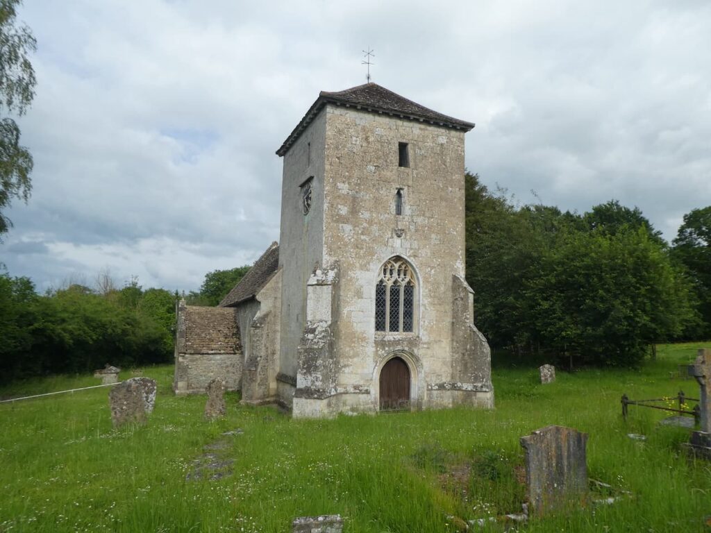
From the church we continue downhill besides the B3098 and then turn left into Low Road. Just before we reach The Owl pub we turn right into a lane and follow this as it curves around heading back towards the B3098. Shortly before reaching the road we take a footpath on the left which heads across fields towards Littleton Panell.
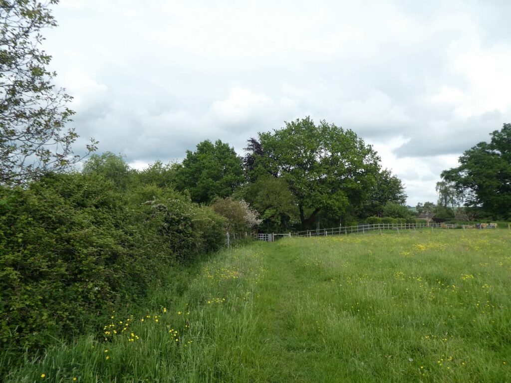
As we near houses we take a footpath on the right and follow this as it continues around to meet the A360. Here we turn left and then soon take a right turn into Russell Mill Lane. We stay with this lane until we reach the entrance driveway to Park Farm here we fork right and follow the path uphill to enter woods.
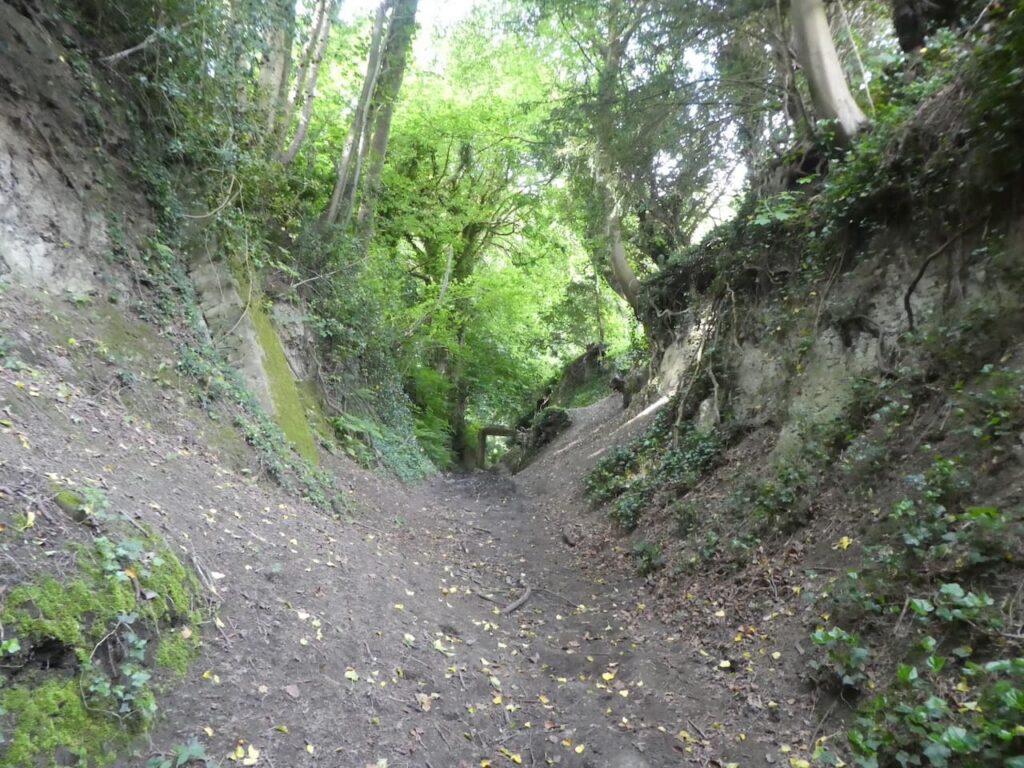
The path continues along the northern edge of the woodland and then at a junction of paths we turn right and follow a footpath towards Beech Wood.
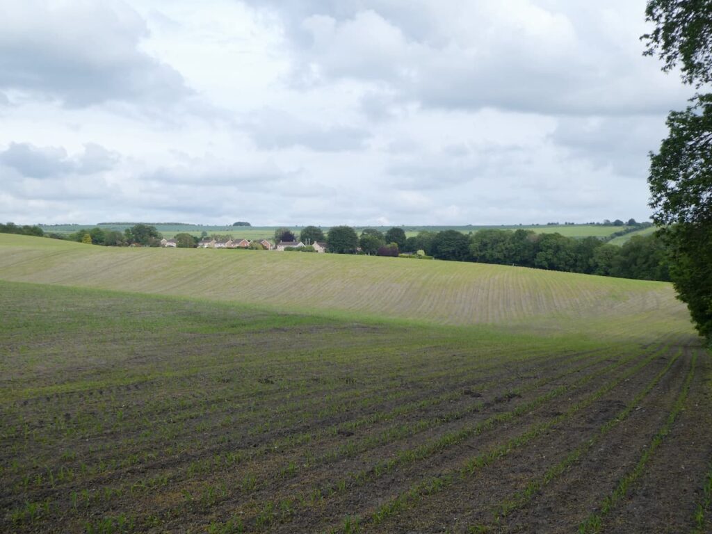
The path continues through the woodland and leads us to the mini roundabout at the junction of Grove Road and Canada Rise. Here we turn right and retrace our steps back to our starting point at Market Lavington Community Centre.
Our walk has covered twelve miles. It has been interesting to visit the villages of Potterne, Great Cheverell and Little Cheverell, however the enjoyment of the walk has been hampered by the lack of signage and poorly maintained footpaths and stiles on the section between Potterne and Great Cheverell.
You can view this 12 mile walk on OS Maps and download the GPX File Here
To follow my walk, you will need Ordnance Survey Explorer 130 – Salisbury & Stonehenge; and OS Explorer 143 – Warminster & Trowbridge
7th June 2021
© Two Dogs and an Awning (2021)
All information on this site is provided free of charge and in good faith and no liability is accepted in respect of damage, loss or injury which might result from it. To the best of my knowledge the routes are entirely on public rights of way or within areas that are open for public access.
Walking can be hazardous and is done entirely at your own risk. It is your responsibility to check your route and navigate using a map and compass.
