

There is something special about waking up in the caravan to the sound of early morning bird song. It encourages me to get out and enjoy the early morning and Crosby never needs asking twice. There is a great early morning loop from Charlton Manor CL covering just under 3 miles. An hours walk before breakfast suits me fine.
We have a relaxing start to the day, there is no rush, at this time of the year there is plenty of daylight for walking and we have planned a walk from the site so don’t need to travel anywhere. It is late morning before we head off, with lunch packed in our rucksacks, for a jam about in the Pewsey Vale.
I use the term “jam about” to refer to a walk when we have a rough idea of where we will go, but take a flexible approach, deciding on the route as we go along. It means we wander off in another direction if we see something of interest and aren’t restricted to a particular pre-planned route. Invariably on a “jam about” we walk further than originally intended, but that is one of the attractions.
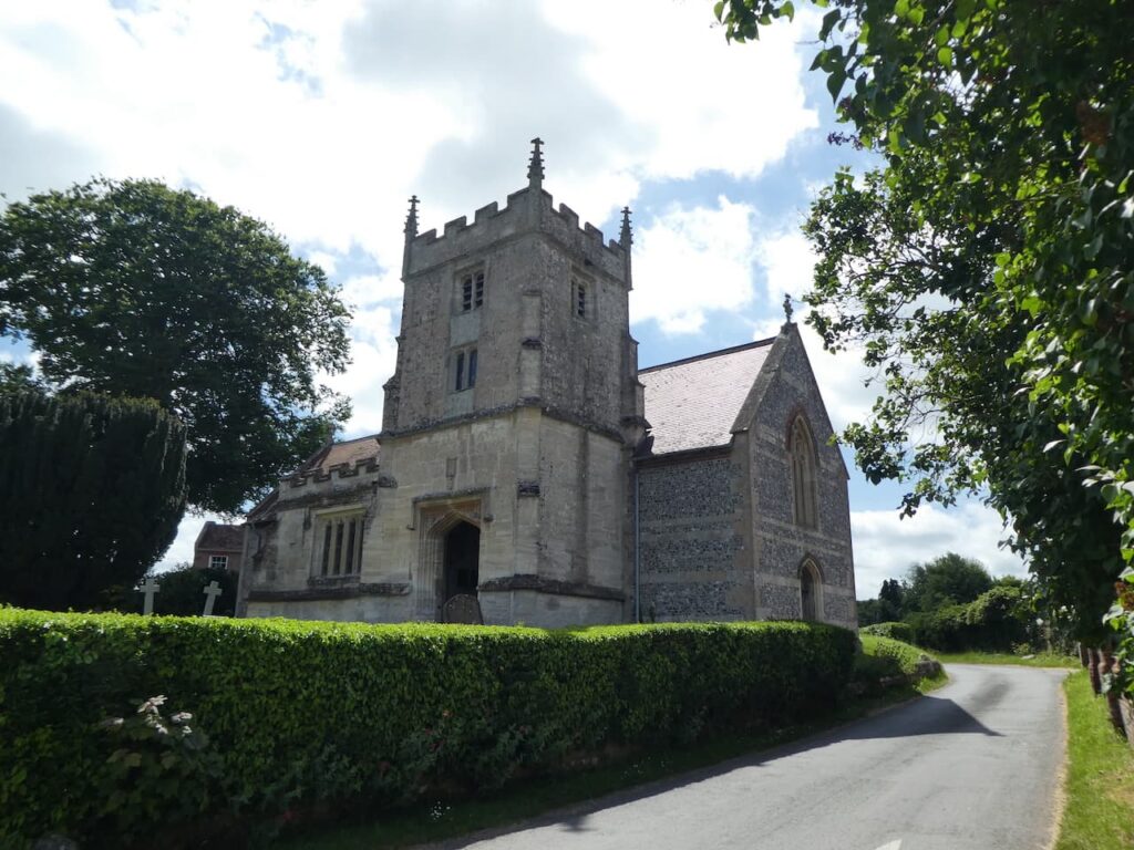
We leave Charlton Manor CL and turn right to walk into the village of Charlton St Peter. This is a tranquil hamlet with most of the houses sitting along the one lane, Friday Lane. This leads nowhere other than into the village, so there is no through traffic. We wander along the lane and stop to look at St Peter’s Church. This was rebuilt in 1858 but parts of a 12th century church survive and the tower is said to date from the 15th century.
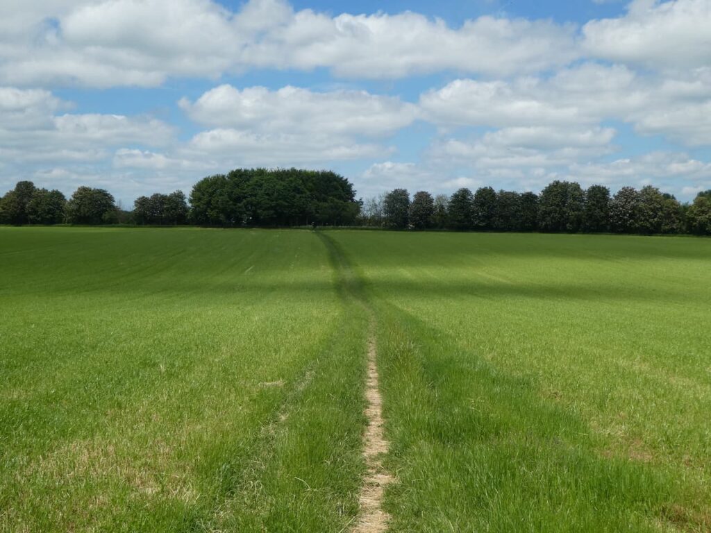
We stay with Friday Lane heading east. At the edge of the village the lane turns into a well maintained path which we follow towards Rushall.
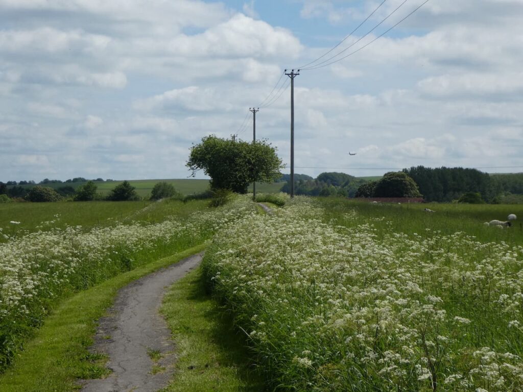
We enter Rushall by the village allotments and continue along a lane to reach the Pewsey Road, passing the village school on our right. We continue along the pavement until we pass the last house on the right, here we turn right to take a footpath across fields of pasture.
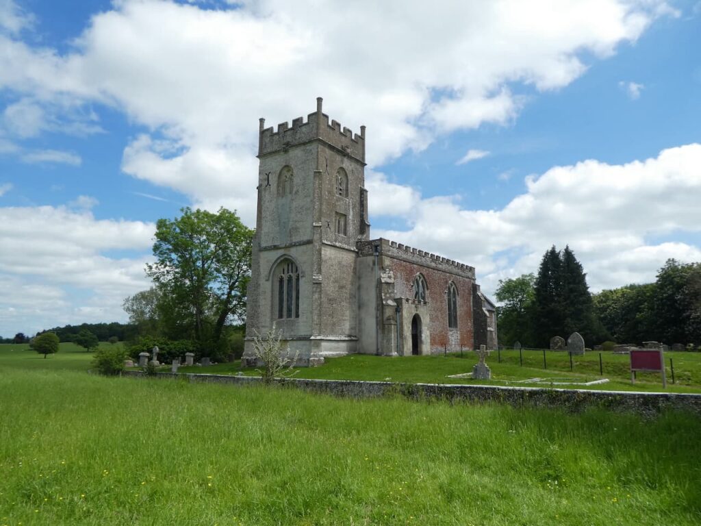
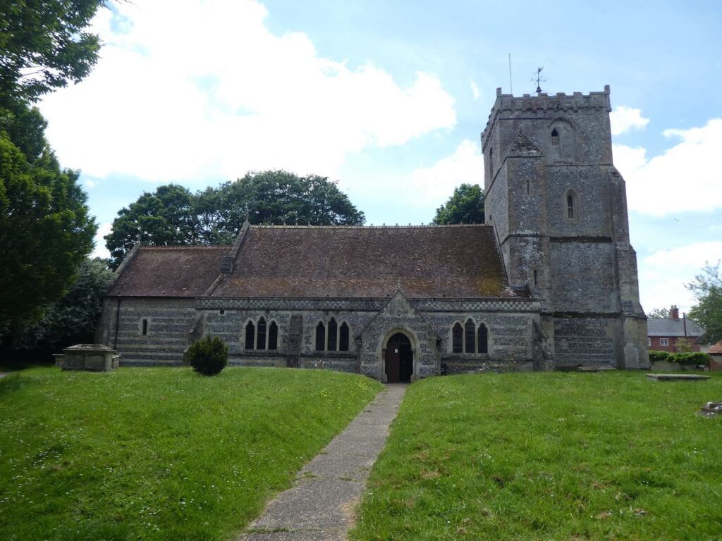
Staying with this footpath we cross fields heading towards St Matthew’s Church. Apparently the church was first recorded in 1086 and was then rebuilt in 1332. There was further rebuilding in 1812 and restoration in 1873 and 1905, the tower contains three bells dating from 1400, 1606 and 1740.
From the church we join Church Lane and turn right back towards the village and then almost immediately take a path on the left which enters a field. This path is not marked on the map but is well worn and is obviously regularly used by locals. It takes us across a field heading towards trees.
At a junction of paths in the trees we continue straight on heading towards Upavon and enter the village beside allotments and stop to have a chat with a chap bemoaning the state of his vegetables. I grow a few vegetables in the garden at home, developing a good crop is not compatible with our travelling lifestyle, so I am grateful for whatever we manage to harvest. As far as I can see this chap’s produce looks to be in good shape, but it is not unusual for gardeners, or farmers, to complain that something is preventing them getting a better crop.
Now in Upavon we turn left down Jarvis Street and then at a junction turn right to walk into the centre of the village. Just before we reach the shop we take a turning on the left with a finger post pointing towards the church. We follow this lane around to have a look at the exterior of St Mary’s Church parts of which date from the 13th and 15th century. A refurbishment was undertaken in 1875.
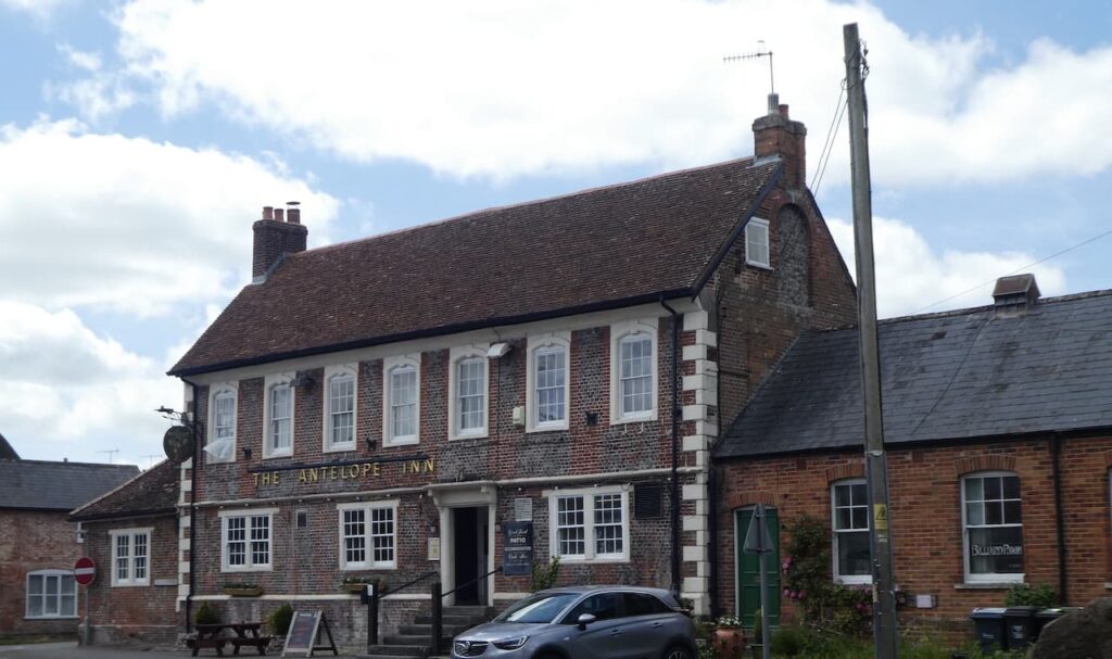
From the church we cut through to the High Street. The village has two pubs which are almost directly opposite each other. The Antelope is in front of us, apparently the first mention of this pub dates back to 1604 and the current building dates back to 1729. Like many of the older properties in this area it originally had a thatched roof which has now been replaced with tiles.
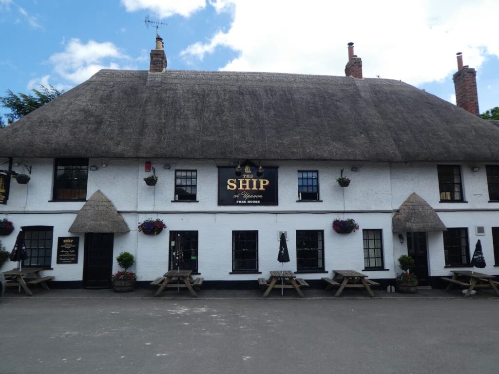
Opposite it is the thatched Ship Inn. This building dates back to the 16th century. I am always intrigued when a pub which is miles from the sea is called the Ship. I can understand it in a coastal village, but not on the edge of Salisbury Plain. I am sure there is a reason, but a quick internet search later does not reveal anything.
The walking from Upavon is limited by the restricted access on the nearby Ministry of Defence Land. There are footpaths across the ranges but these are only open when military manoeuvres are not taking place and I neglected to check the firing times before we set off. Therefore, we walk back through the village the same way as we came in, from the High Street turning up Jarvis Lane and then past the allotments to head across the field towards the Green Way Track.
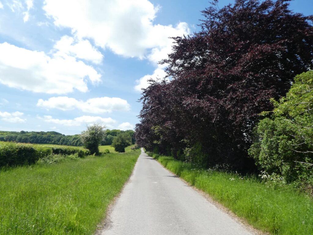
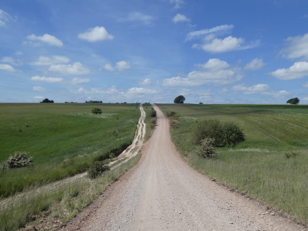
On reaching the track we turn left and continue up to the A 342. After crossing the road we continue straight on along Rushall Drove and soon pass Rushall Manor. This is a tarmac drove but it only leads to a few barns and the edge of the Larkhill Artillery Range.
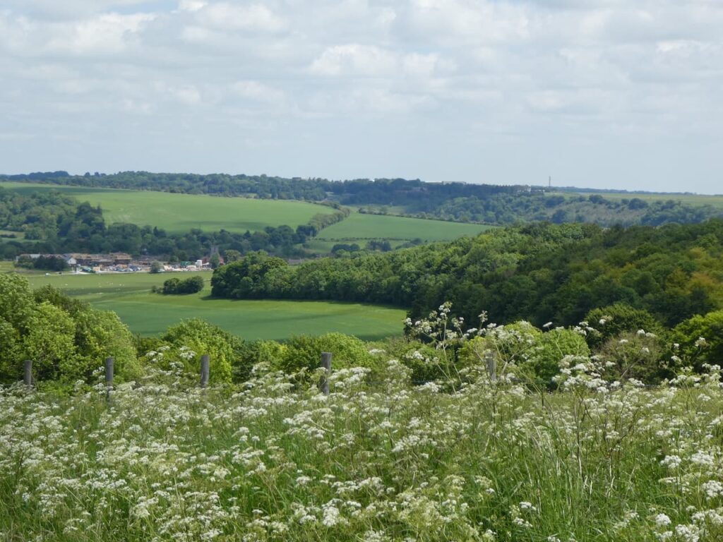
The drove soon starts to ascend and as we head up we get fine views back over the area we have just walked.
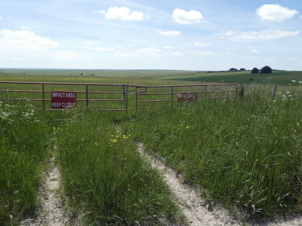
At the top of Rushall Hill the drove continues to reach the edge of the artillery range. The warning signs are clear and there is no way I would consider trying to enter these ranges where live firing takes place.
We turn right and walk along the perimeter of the range. Lynnie keeps an ear out for the sound of gunshots. When we were walking another section of this range last year there were army manoeuvres taking place and despite us being on the safe side of the fence Lynnie was very uneasy. I reassure her that we will not encounter any military activity on this track. Then in the distance a cloud of dust erupts.
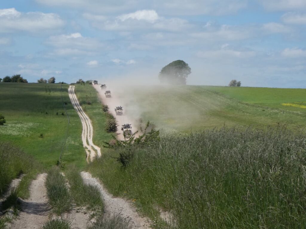
Heading towards us is a convoy of army vehicles, we quickly ensure we are on the right side of the track not to have the dust blown in our faces and very soon the heavily armed convoy reaches us. I admit to being a bit disconcerted at having so many machine guns pointing in our direction as they pass by. They do look as if they mean business.

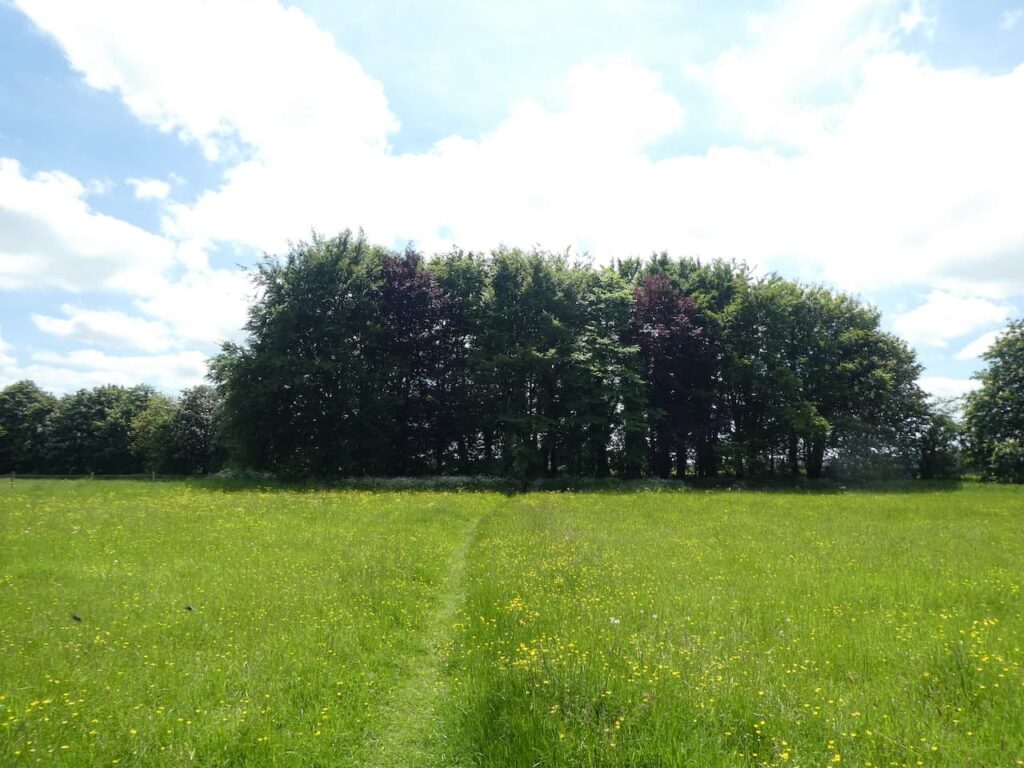
When the dust settles we resume our walk heading along the track towards Charlton Clumps.
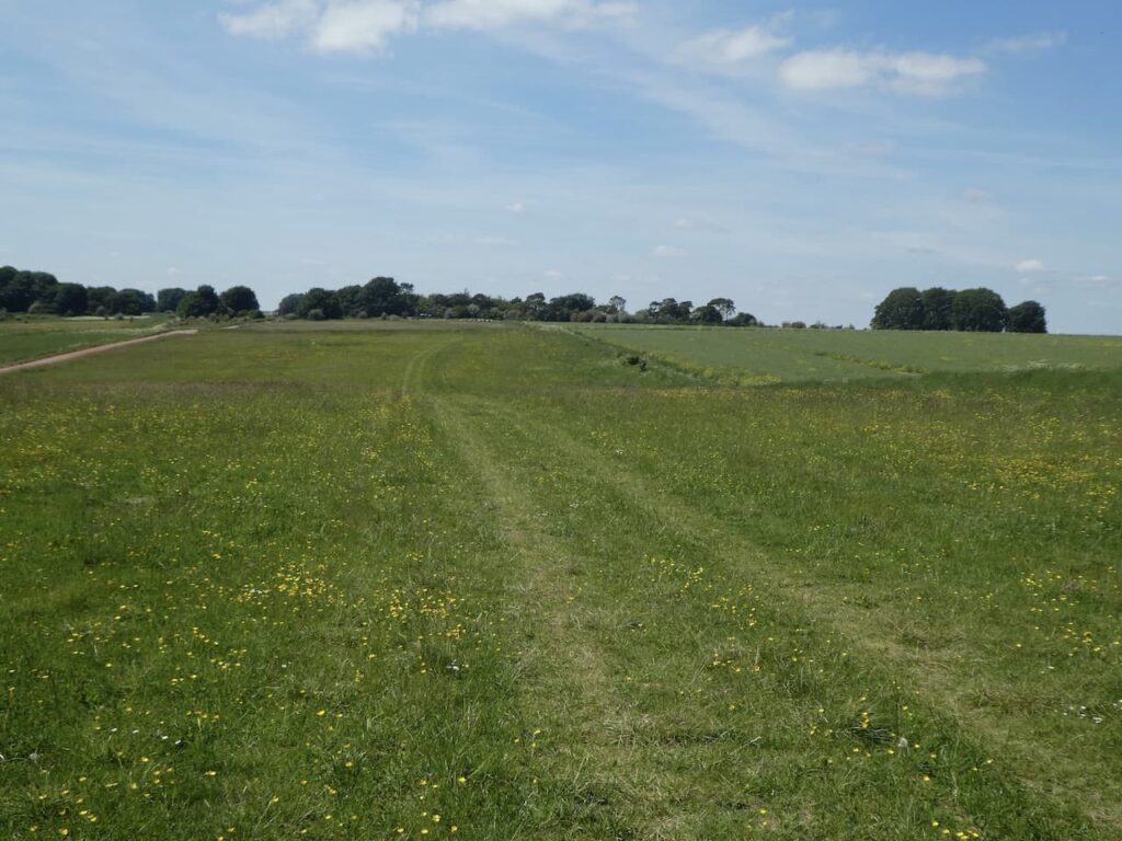
At Charlton Clumps we ignore the path on the right which would lead us back to Charlton St Peter and stay with the track to reach another footpath on the right which we also ignore. This one would also lead us back towards the caravan site. It is a pleasant afternoon to carry on walking on this chalk downland.
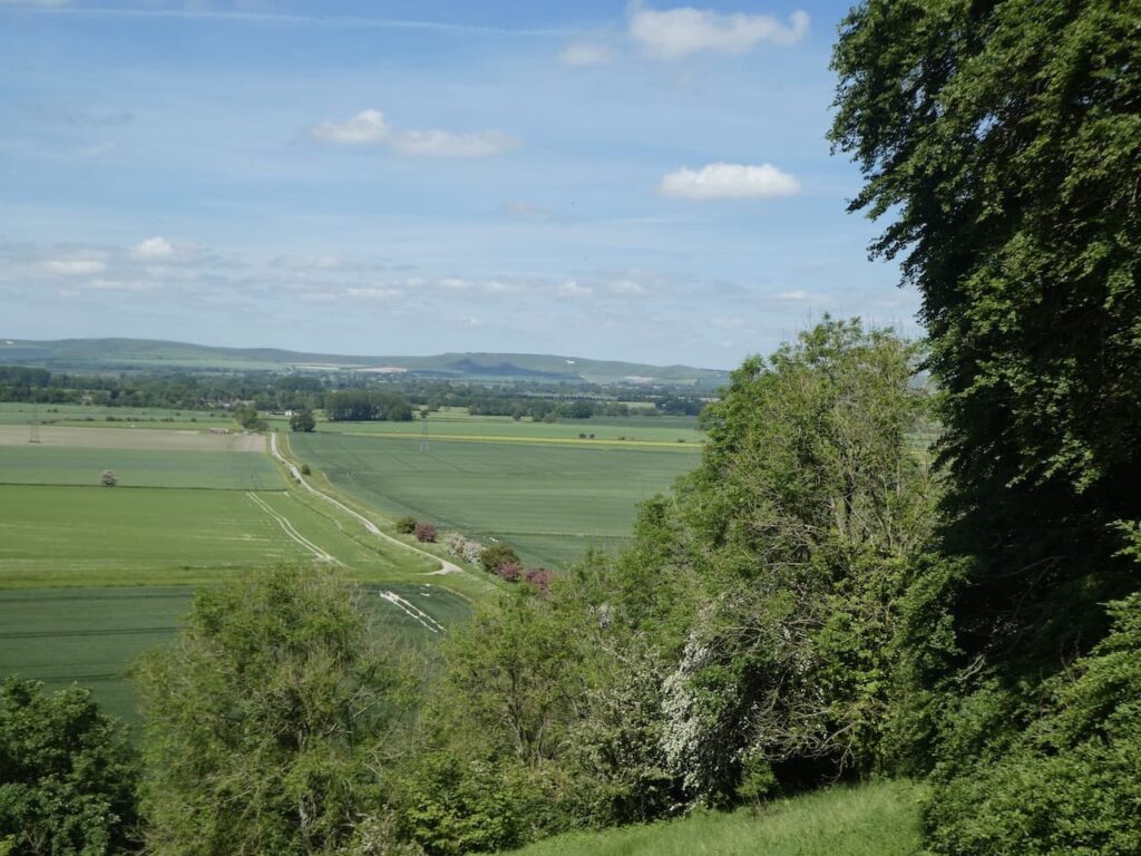
We continue along the perimeter of the range and pass two more footpaths on the right which lead towards Wilsford. The beauty of this track is there are numerous options to make a circular walk. Eventually we decide to take a path on the right and choose the one that leads towards Marden Copse. As this starts to descend there are cracking views over the Vale of Pewsey.
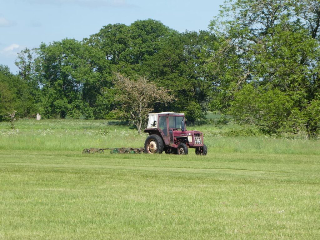
As we pass besides the trees the path descends steeply. After crossing a stile we join a track and follow this heading north towards Marden. After crossing the A342 we continue heading towards Marden on a minor road. When this straight road starts to bend to the left we take a track on the right and pass a recently converted barn and Marden Cricket Club. The tractor and game mowers for cutting the outfield look as if they have been abandoned in the field. Presumably there are no fixtures coming up.
We now follow this track heading east.

We continue on to cross a track and then reach a minor road where we turn left and then in just over a hundred yards we take a turning on the right continuing between fields to reach a minor road where we continue straight on and then at a junction turn left and then soon take a footpath on the right. We are now heading across fields and soon the Charlton Cat comes into view.
We keep following the path as it heads towards Charlton St Peter and then in the village turn left to cross the River Avon and return to the caravan site.
Our jamabout has covered just over ten and a half miles and it has been a cracking day to be out. Now it is time to start planning tomorrow’s walk.
To follow my walk, you will need Ordnance Survey Explorer Map OL130 – Salisbury and Stonehenge
You can view this 10.5 mile walk and download the GPX File on OS Maps (OS Maps subscription required)
8th June 2021
© Two Dogs and an Awning (2021)
All information on this site is provided free of charge and in good faith and no liability is accepted in respect of damage, loss or injury which might result from it. To the best of my knowledge the routes are entirely on public rights of way or within areas that are open for public access.
Walking can be hazardous and is done entirely at your own risk. It is your responsibility to check your route and navigate using a map and compass.