Many years ago Lynnie and I decided to go to the Peak District for a weekend and stay in bed and breakfast. It was before the days of the internet and a time when if you were looking for accommodation you either went to the Local Tourist Information centre or drove around looking for a sign offering B&B. We made a couple of unsuccessful attempts to find a place for the night and then arrived at the Monsal Head Hotel. These days the hotel is very smart, in those days it was clean and functional and we had an enjoyable stay and a room with a fantastic view out over the viaduct.
On one of our days there we decided to go for a walk. I had purchased a walking book and worked out we could combine two walks to make a decent days walking. We had no provisions with us as we planned to stop at Eyam for lunch. However, on arrival we could find nowhere to eat or even buy a bar of chocolate. The place was closed. If there is one thing Lynnie does not like it is going without her lunch! So the walk has lived long in the memory. Today we are returning to Eyam for the first time since the eventful day, but this time we have packed some sandwiches and a flask.
The starting point for our walk is the public car park on Hawkhill Road in the centre of Eyam. Leaving the car park we turn right along Hawkhill Road and head uphill out of the village. As the road bends to the right we take a lane on the left, The Nook, and continue to head uphill passing properties. After the last property the lane becomes a track and gets steeper as it passes through woodland.
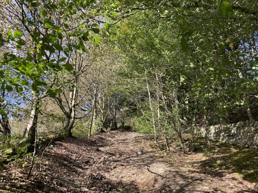
The track leads onto a minor road where we turn left and walk past Highcliffe Barns. After the rain of yesterday we are pleased to be walking in the dry and it looks like it should be fine for most of our walk. The fine weather means there are some good views away to our left.
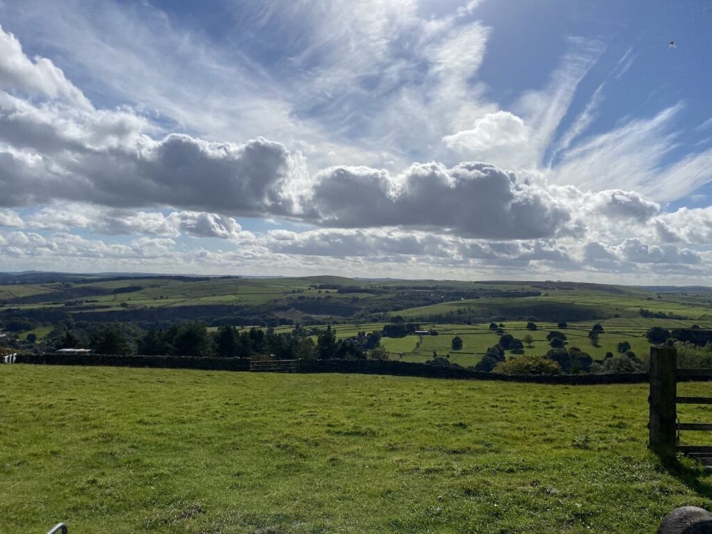
The road bends to the right and then after a couple of hundred metres bends to the left. Here we turn right onto a byway, Sir William Hill Road.

We stay with the track to pass a tall radio tower. To our left is the trig point on Sir William Hill, it’s on open access land but we cannot gain access because of a high drystone wall. Instead we have to continue down the track to a wall stile leading to a footpath onto the access land. Instead of following the footpath we turn left and follow a well-worn path back up the hill to reach the Ordnance Survey trig pillar.
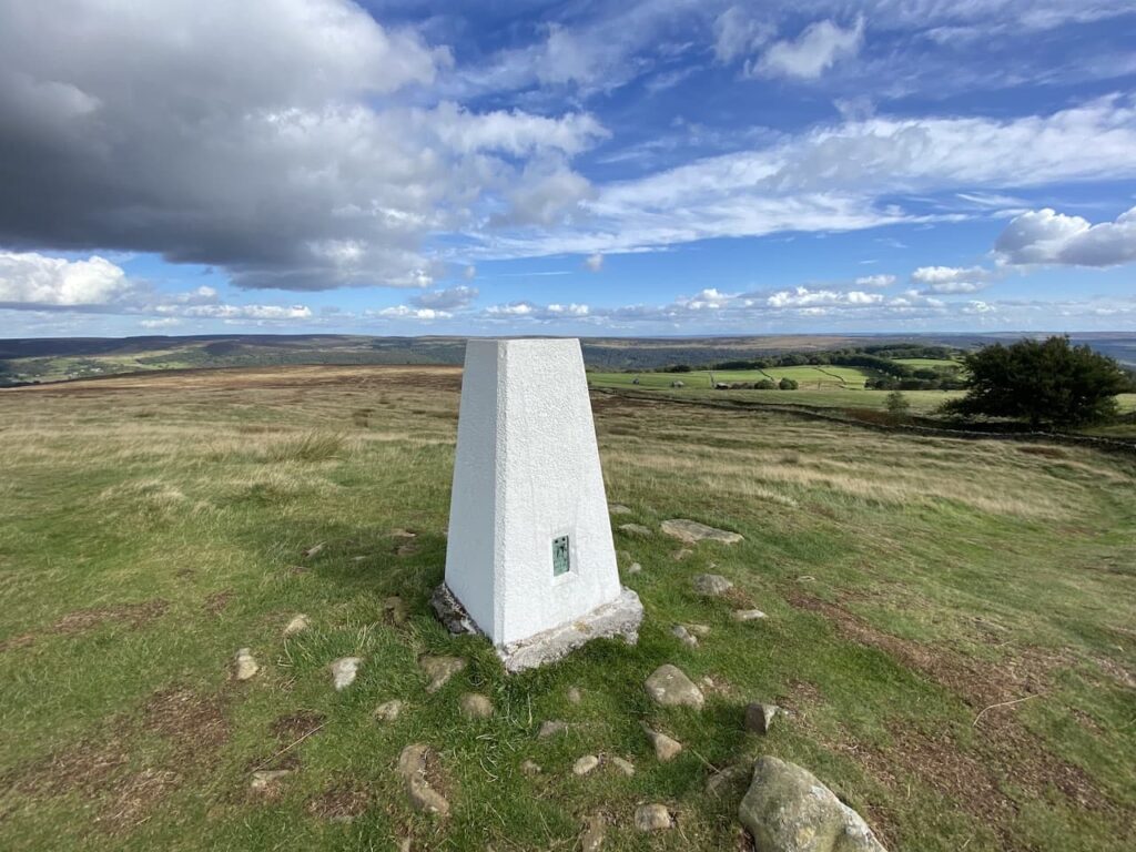
This is the 279th trig I have bagged and there are some fine views from this hill which stands at 429 metres above sea level. It is unclear which Sir William the hill is named after, there are plenty of candidates but apparently there are local parish records that record the hill by this name dating back to 1692.
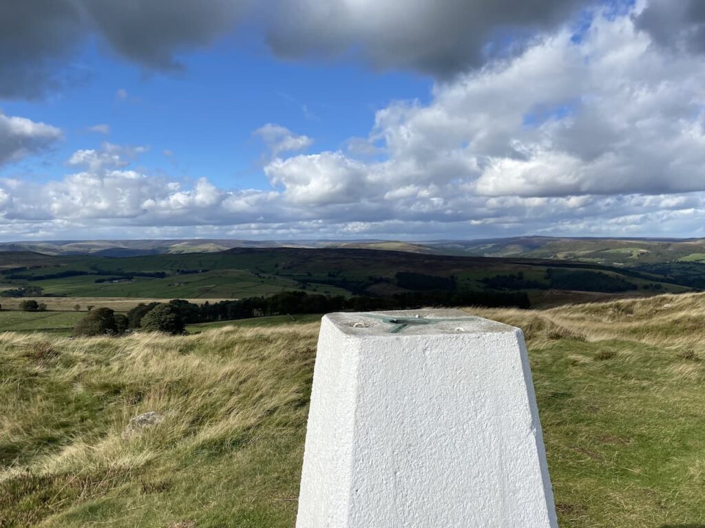
From the trig we head north on Eyam Moor and soon pick up the route of the footpath.
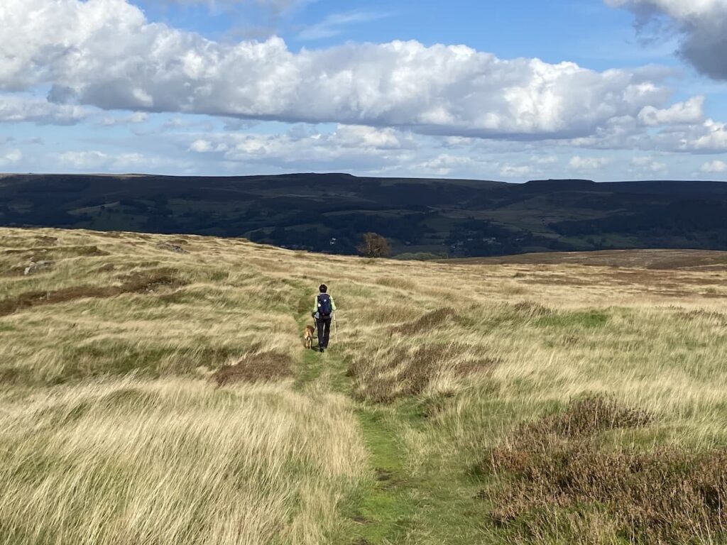
The path now goes steadily downhill to pass Gotherage Plantation.
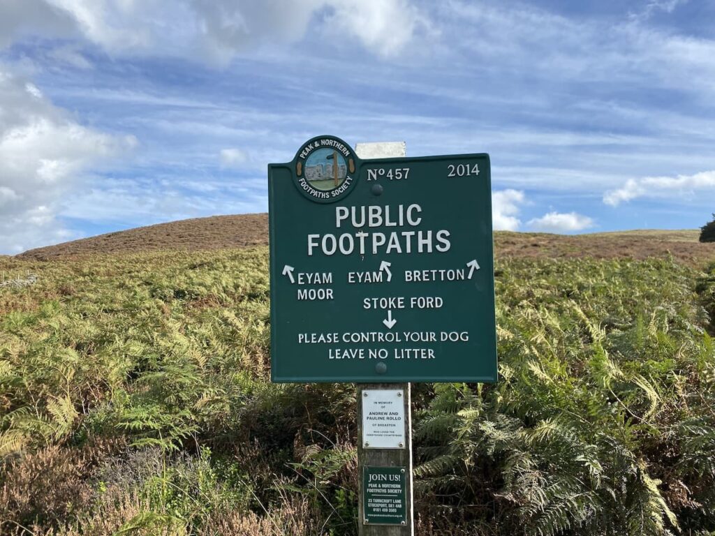
After passing the plantation we reach a junction of paths beside a stone wall. There is a cracking footpath sign here that was erected by the Peak and Northern Footpath Society.
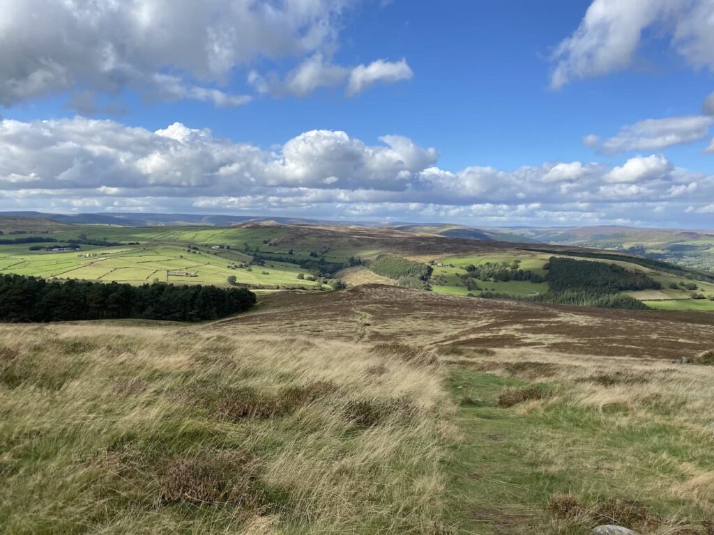
Our route is the path in the field on the far side of the wall which heads towards Stoke Ford. This path continues downhill with cracking views
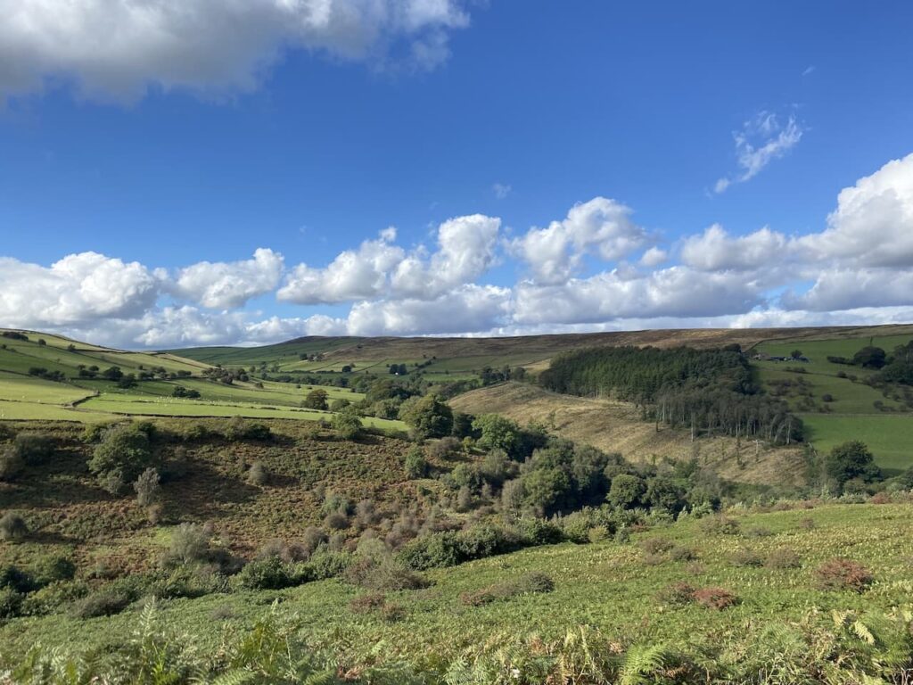
As he path nears the footbridge at Stoke Ford it becomes steep and stony so we pick our route with care. Lynnie is particularly wary going down steep uneven ground, she broke her leg a few years ago when the dogs knocked her over in our garden. So any hazardous terrain requires extra caution.

After crossing the footbridge we take the footpath on the left which follows the stream through woodland in Abney Clough. Being a southerner I am not familiar with landscape which is described as a Clough, apparently it is a northern term for a steep valley. What I would probably call a combe if I was walking in the west country.
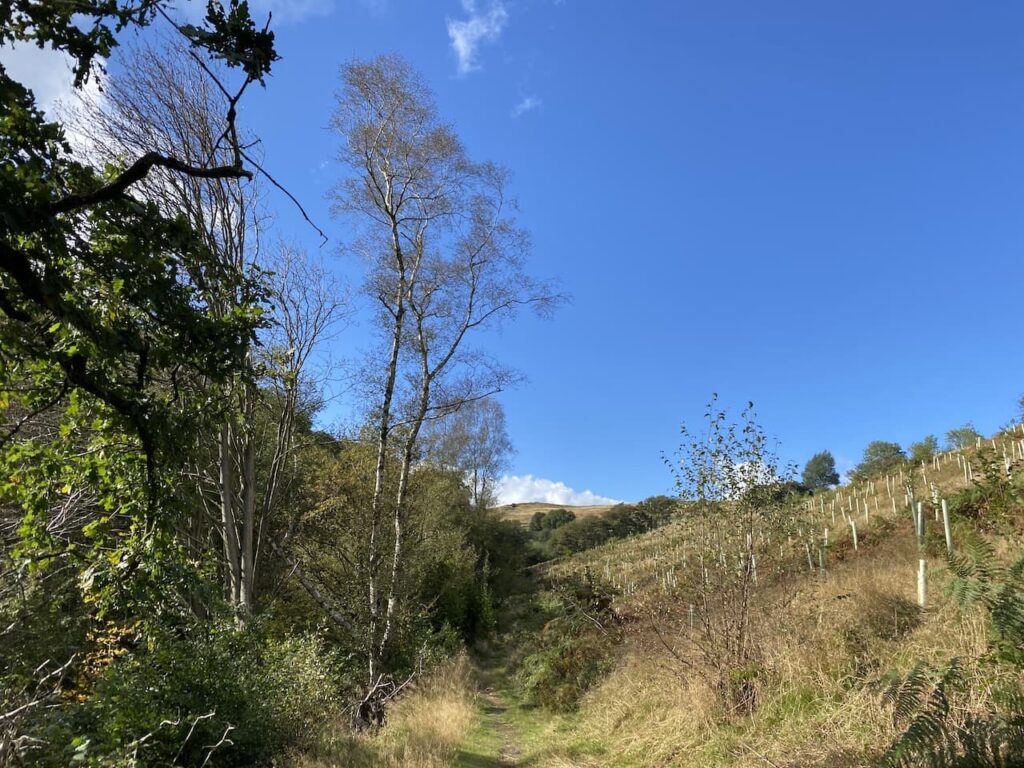
After leaving the trees the path continues through fields and then joins a track which heads uphill to Abney.
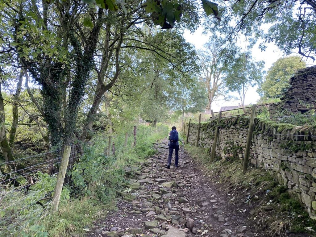
Abney is a small hamlet and we turn left and walk past houses and farms. On the wall of a barn I spot a Victorian post box.

Just before reaching a telephone box we turn right into a narrow lane which is little more than a farm track. At the end of the lane there are tracks going to the left and right. We go left heading towards Abney Moor.
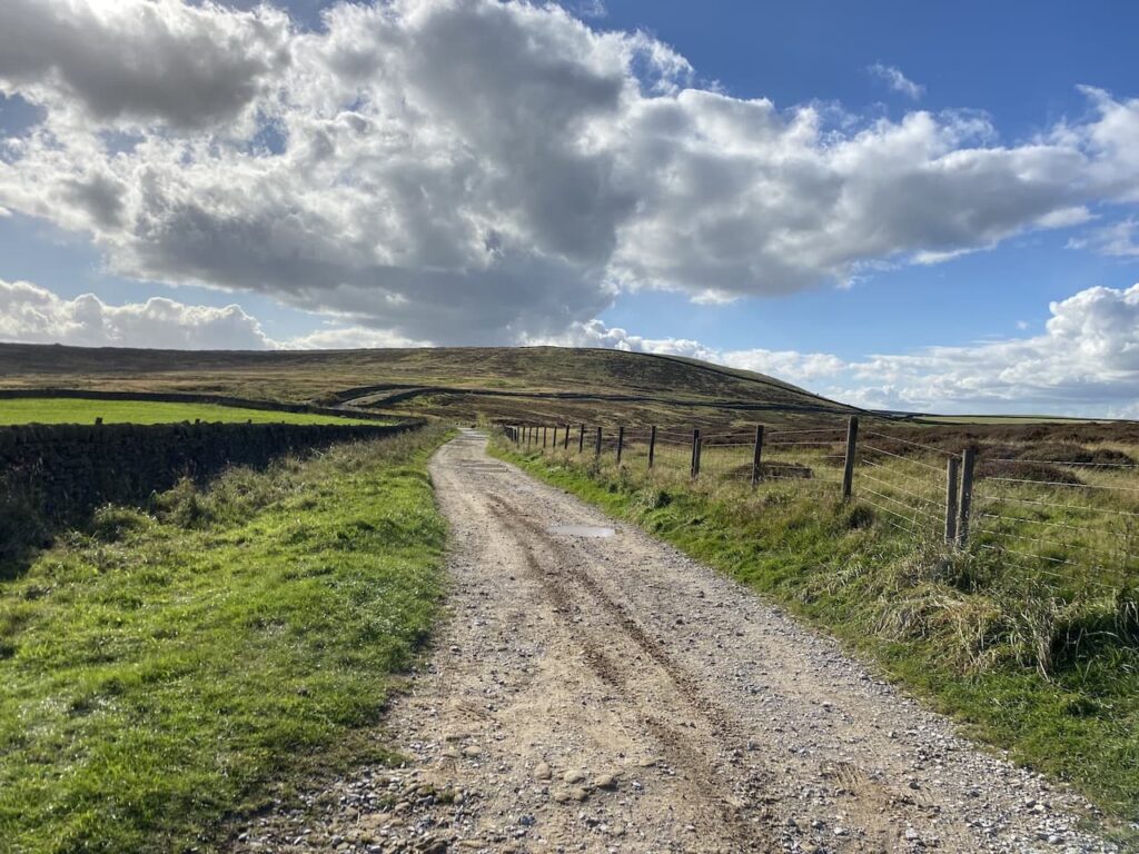
On reaching a footpath on the left we head onto Abney Moor. It had been my intention to walk across the moorland access land to the trig point which is in a field to the west. However, this is one of those moors where access for dogs is restricted to public footpaths because of the grouse shooting. So whilst I am free to wander anywhere my four legged companion, despite being on a short lead, dare not venture from the designated right of way.
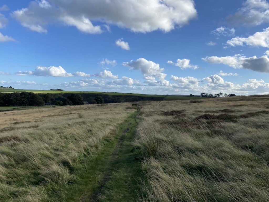
Needless to say Lynnie has to endure my full repertoire of views about grouse shooting and land management for a few wealthy individuals to kill or maim the local wildlife for the rest of the way across this moor.
Once I have calmed down a bit I am able to fully appreciate the views, but still can’t help thinking how good they would have been from the trig on top of the hill!
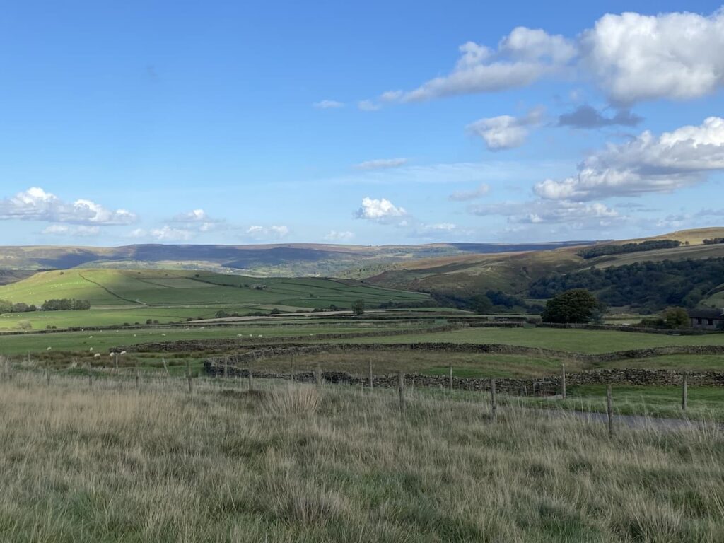
On reaching a minor road we turn right and continue along to pass the entrance to the Derbyshire and Lancashire Gliding Club. The road now sweeps around the head of the valley and we get another stunning view. It is hard to believe the weather was so bad yesterday, when it is such a cracking day now.
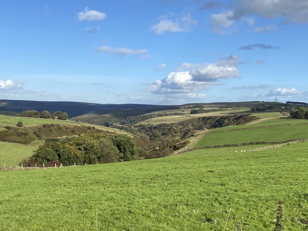
At a broad junction at Hucklow Edge we continue straight on heading east. I had thought we might take a footpath on the right to pass through the access land and visit the disused mine. But a notice on the gate warns of significant ground failure on the site and it is impossible to predict where the next void might occur. It is interesting that they say investigations into the cause of the collapse are ongoing. Perhaps investing in an OS map would give then a clue, there is a disused mine and mine shafts in this area!

I always view a forced change in route hopefully, as an opportunity that something more interesting will materialise on our revised route. It is not long before we pass a pair of fine disused gateposts. I find this interesting but still hope for something more unique.

The road leads us to Bretton Mount and the Barrell pub. Pubs are always interesting, but this one more so because it is the highest pub in Derbyshire and stands at 380 metres above sea level.. The information board at the viewpoint opposite says this former farmhouse became an Inn in 1753 (although the pub’s website claims it dates back to 1597) and served travellers on the two bridlepaths that meet beside the pub.

We now have a couple of options for our route back to Eyam, we decide to stay with the road we are on and continue on to the junction with the Sir William Hill track, here we turn right staying on the tarmac road to retrace our route back to the car park in Eyam.
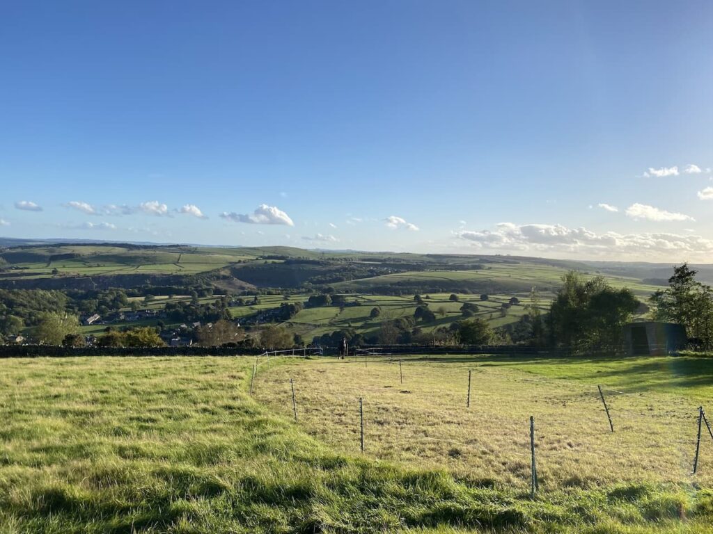
We had hoped to wander around Eyam and visit the museum that charts the role the village played in the plague. However, we started our walk a bit late and have stopped to admire too many views and we find that everything is closed in the village. This seems to be a common occurrence when we visit!
Next time we will have to come earlier and look around before starting our walk. Meanwhile it is time to head back to the caravan and pack up for our return home tomorrow.
You can view this 9.5 mile walk on OS Maps and download the GPX File Here
To follow this walk you will need Ordnance Survey Explorer Leisure – OL24 – The Peak District, White Peak
1st October 2021
© Two Dogs and an Awning (2021)
All information on this site is provided free of charge and in good faith and no liability is accepted in respect of damage, loss or injury which might result from it. To the best of my knowledge the routes are entirely on public rights of way or within areas that are open for public access.
Walking can be hazardous and is done entirely at your own risk. It is your responsibility to check your route and navigate using a map and compass.
