

On yesterday’s walk on the Quantock Hills Lynnie managed to lose one of her expensive Sealskin walking gloves, so today we plan to do the same walk but in reverse in the hope that we might find it. We start once again from the parking area just off the Crowcombe Road to the east of Wilmot’s Pool.
Leaving the parking area, we head north west on a grassy track to join a stony track heading west skirting the summit of Black Hill. There is a keen wind and fortunately I have a spare pair of gloves so Lynnie’s hands are protected from the cold.
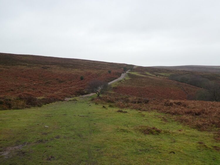
At a crossing of tracks we turn right and head north along the ridge between Street Combe and Frog Combe, as we skirt the summit of Higher Hare Knapp the ponies are seeking protection from the cold wind.

At a crossing of paths at Lower Hare Knapp we turn left and are soon in the trees and grateful for some respite from the wind. Normally we walk reasonably close together and chat, but today Lynnie is focused on the glove search and is striding out ahead of me.

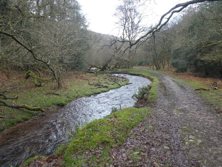
The path descends steeply into Somerton Combe, where we ford the stream and turn right to head into Hodder’s Combe where we ford another stream.

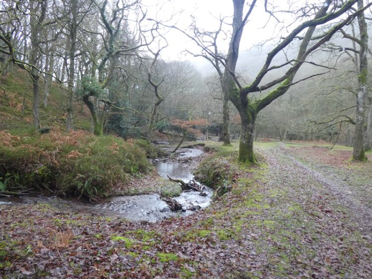
It is always a pleasure walking through Hodder’s Combe with the stream babbling besides the path.
The path leads into Holford besides the Bowling Green where we turn right?. With joy Lynnie sees her glove besides the road. Reunited with the lost item we reassess our options. The weather is quite miserable so we decide there is little attraction to walk along the ridges with the wind and rain biting at us. Instead we turn and walk through Holford, turning right at a junction and then at a grassy triangle follow the road towards Holford Combe.This is another very attractive combe with a stream running besides the path.
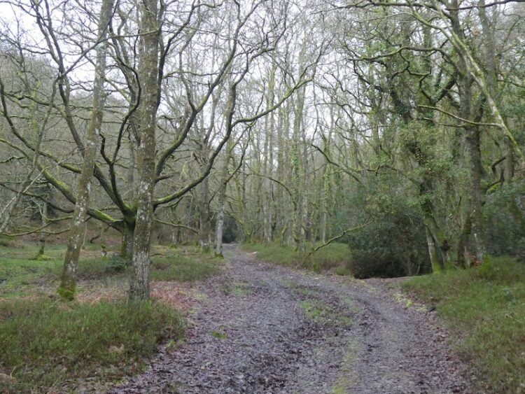
At the head of Holford Combe we fork right to follow the path through Frog Combe. When the children were small we used to walk this combe regularly but it is a while since we walked here together.
After emerging from the trees we follow a path for a short distance uphill to reach a track and turn left to head back to the car park.
By our standards this has been a short walk of just over 5 miles, but success in the glove hunt has been a real bonus!
To follow my walk you will need Ordnance Survey Explorer Map OL140 – Quantock Hills & Bridgewater.
You can view this 5 mile walk and download the GPX File on OS Maps (OS Maps subscription required)
Additional Information
For more information on this walk including car parking, amenities, refreshments and detailed walking directions visit my associated Walking Moonraker website.
11th January 2020
© Two Dogs and an Awning (2020)
All information on this site is provided free of charge and in good faith and no liability is accepted in respect of damage, loss or injury which might result from it. To the best of my knowledge the routes are entirely on public rights of way or within areas that are open for public access.
Walking can be hazardous and is done entirely at your own risk. It is your responsibility to check your route and navigate using a map and compass.