

I am near to hitting my target of walking 2,019 miles in 2019. This is the second year that I have “walked the year”; last year I reached 2,018 miles on the Quantock Hills a favourite spot for me. This year I plan to complete my quest whilst walking in the Yorkshire Dales and hopefully somewhere near the summit of Ingleborough.
After a near 300-mile journey yesterday we arrived at Brigholme Farm CL in the dark. It is the measure of our confidence in caravanning that we no longer worry about pitching up in the dark, levelling the van and erecting an awning by the light of a head torch. Soon we were snug inside the van.
After yesterday’s driving I am reluctant to go far in the car, so soon after breakfast I am heading off with Crosby for a walk from Brigholme Farm CL. Leaving the site I turn right along Station road and then after crossing the Penny Bridge I take a right turn into Cammock Lane. At a crossroads I go straight across into Ingfield Lane and stay on this lane as it forks right, then within a few hundred years I turn right along Brockhole Lane, which understandably is known locally as Watery Lane.
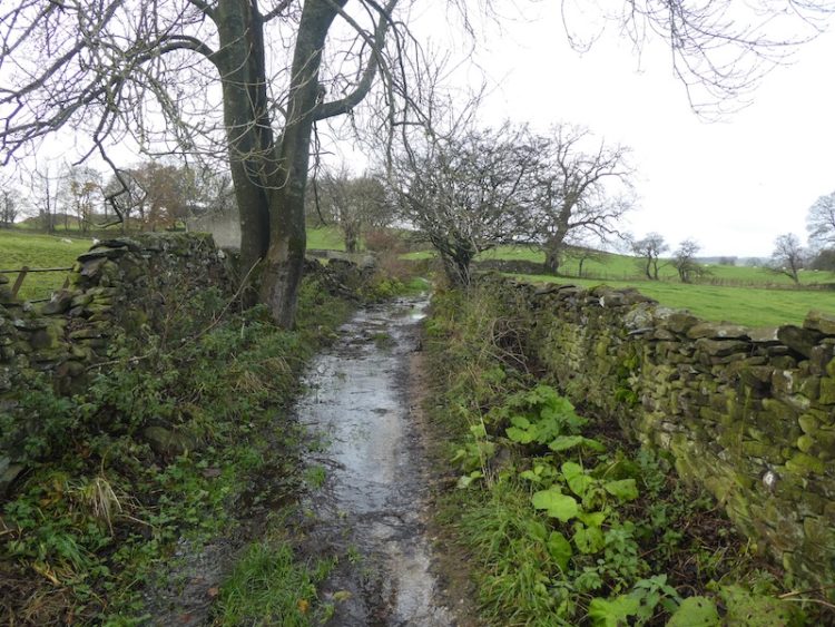
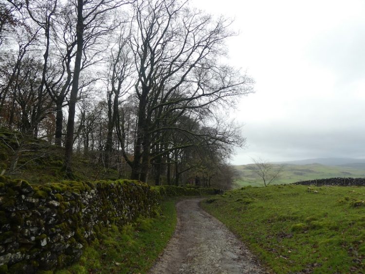
I follow this dry stone walled lane until the end, ignoring footpaths on the left and the right. At the end of Brockhole Lane I turn left onto Lodge Road, despite its name this “road” is actually a track that heads uphill towards Lodge Farm.
At the top of the lane I reach Lodge Farm and after going through a gate I turn left and at a fork in the track take the right option.

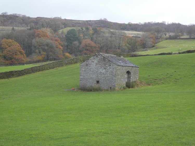
I go through a gate and walk along the track by a plantation and then at a second gate follow the walled track. At another gate I keep straight ahead keeping Black’s Plantation on our right.
At the junction of Mitchell Lane and Lambert Lane I fork right into Lambert Lane and follow this walled track, enjoying the views.
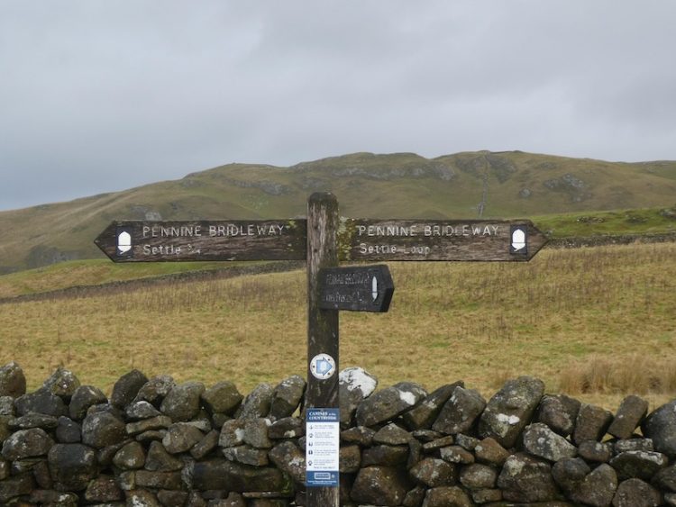
Reaching a road it is a right turn and then shortly a left onto Stockdale Lane. In a few hundred yards at the bend I go over a ladder stile to follow the path as it gradually climbs up alongside the wall.
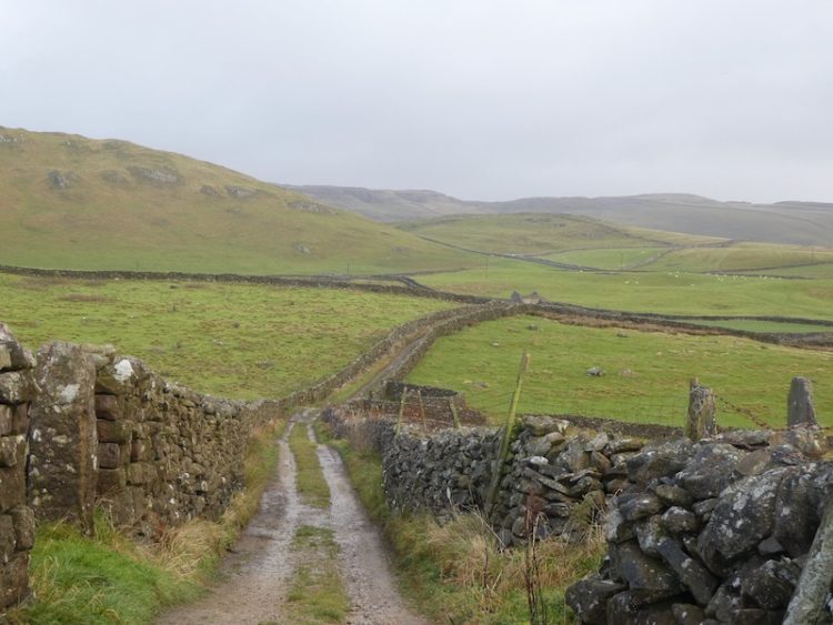
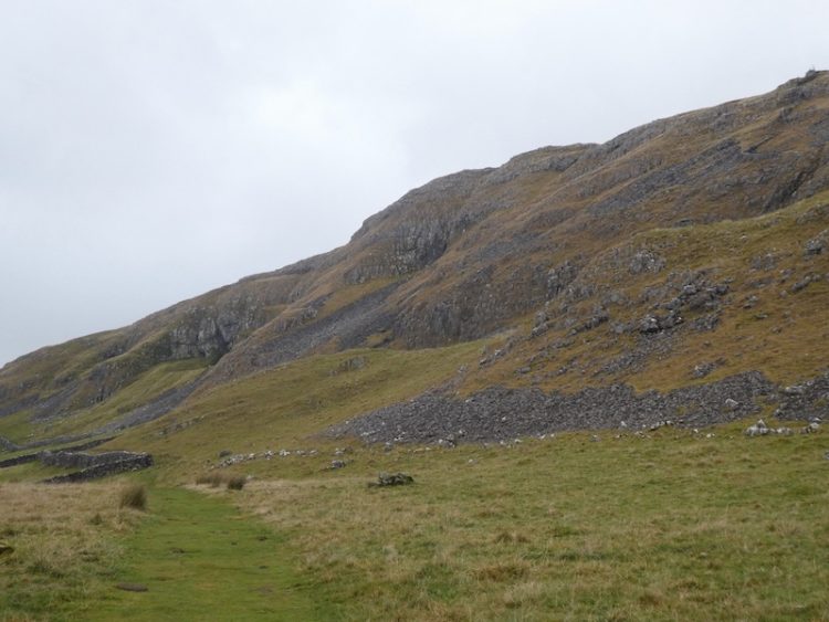
I head over Sugar Loaf Hill; now in front of us is one of my favourite views in the Dales, the spectacular escarpment of Warrendale Knotts and Attermire Scar.
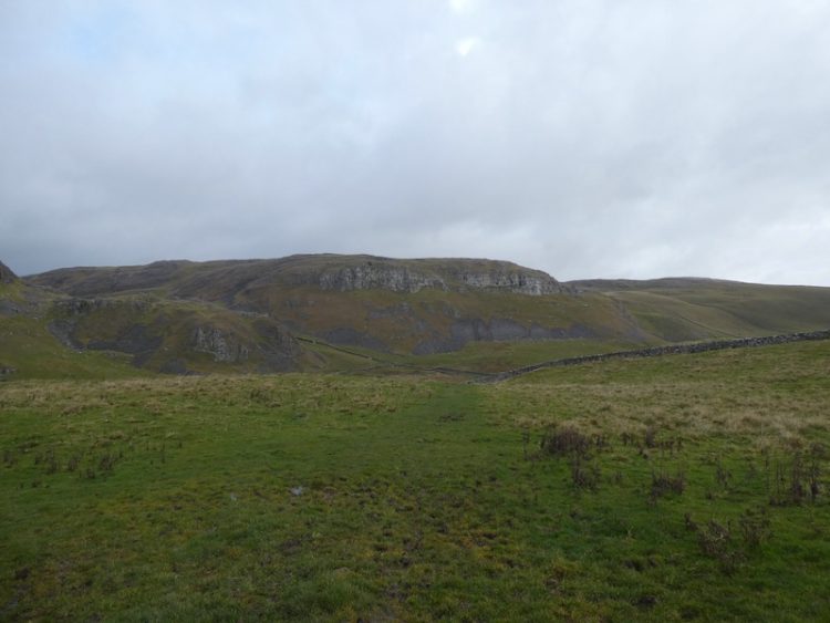
From here my route is under Attermire Scar, passing Victoria Cave.
After going through a kissing gate I turn left and go through a gate on a farm track to descend downhill through another gate. I then take the path on the left way-marked the Pennine Bridleway.
Now it is case of following the path across a couple of fields below Blua Crags before descending on a walled track to return to Settle and then back to Brigholme Farm. It has been a cracking wander covering just over seven miles.
To follow my walk you will need Ordnance Survey Explorer Map OL2 – Yorkshire Dales Southern & Western
You can view this 7 mile walk on OS Maps and download the GPX File Here (Subscription to OS Maps Required)
11th November 2019
© Two Dogs and an Awning (2019)