

This is my fifth year of walking the year, I started in 2018 with a challenge to walk 2,018 miles in the year and in doing so sought to raise over £2,018 for the Trussell Trust. It was supposed to be a one off but it has become an annual event partly because the need to raise funds for this excellent charity, supporting those living in poverty, is even greater than it was five years ago. In itself a terrible indictment of the political leaders who have become obsessed in extricating the Country from our European neighbours and ignored the most vulnerable in society. As the Billy Bragg song goes there will be a day of reckoning, hopefully sooner rather than later!
Walking soothes my soul. It helps me manage the challenges of life and keeps my head on the right way around. So I don’t need a mileage target to motivate me to lace up my boots and head out. However, having the target means on days when I have walked a couple of miles and could turn for home I keep going.
Despite being on the cusp of reaching this year’s target with well over two months to spare I have found 2022 the most challenging year. This is mainly due to picking up an ankle injury in the spring, it required rest, but I don’t do rest well and tried to punch on. Of course it soon reached the stage where I could not walk more than a quarter of a mile without being in agony. Thanks to excellent treatment and a recuperation period involving rest and exercises I gradually got back to full walking fitness. However, it took almost three months before I was back to doing long distances.
It had never occurred to me that an injury could curtail my walking. I am not an elite athlete but considered myself able to comfortably walk twenty miles a day for a prolonged period without any problem. So an injury made me appreciate how athletes and sports players must feel when they pick up injuries which put them out of action for weeks or months.
Knowing I am only seven miles from reaching 2,022 miles I have decided to venture somewhere different for today’s walk. I don’t often go into the New Forest despite it being fairly close to home. But doing the National Navigation Award Bronze and Silver courses with Nigel from New Forest Navigation introduced me to parts of the Forest I had not previously visited. Today’s walk starts in Anderwood, a few miles south of Lyndhurst just off the A35.
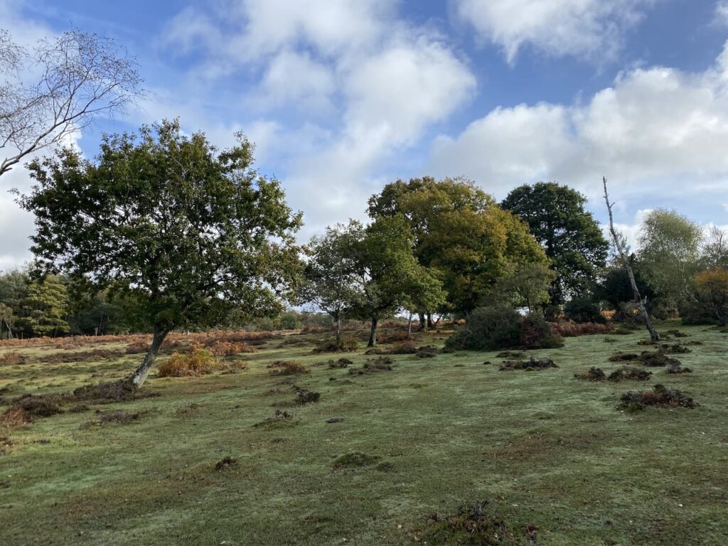
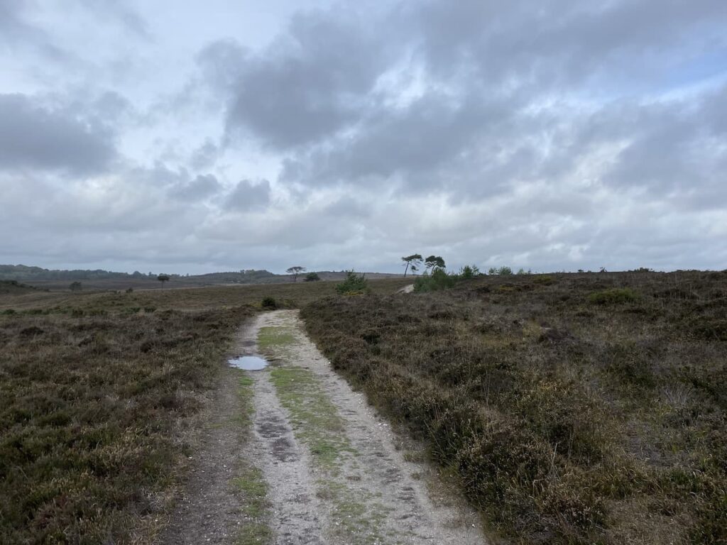
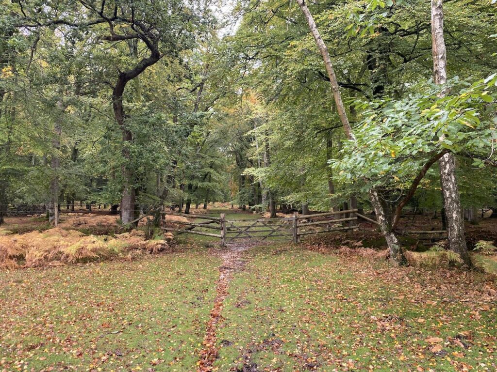
The starting point for my walk is the Forestry England car park at Anderwood, (OS Grid Reference SU248058). From the car park I head south through a clearing and cross a minor road to enter Dames Slough Inclosure.
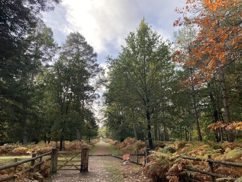
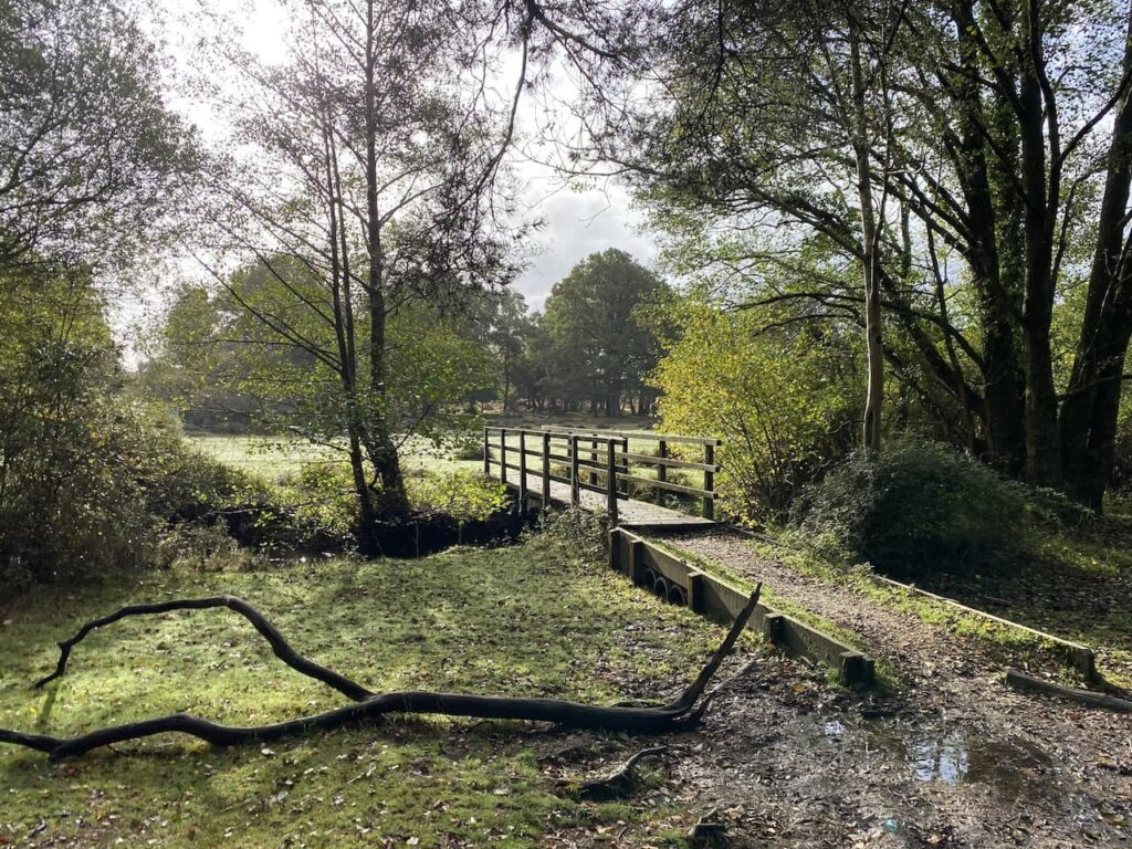
The track I’m following heads south through the trees and crosses a footbridge over Black Water.
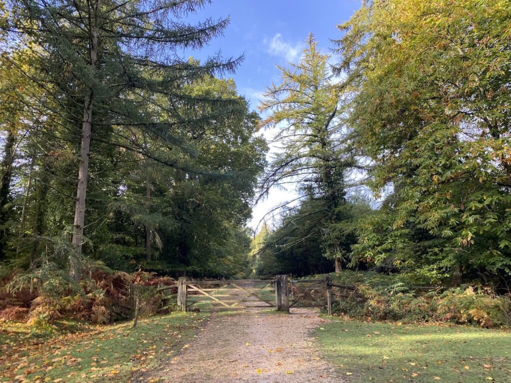
150 metres from the bridge I ignore a track on the right, instead I continue south and then stay on the track as it sweeps to the right. The track leads to a gate which I go through before continuing west towards Cockroad Hill.
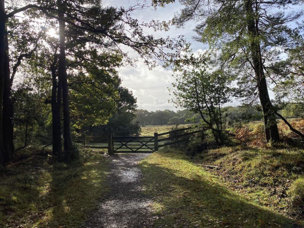
About 700 metres past the gate I reach a junction of tracks and turn left and stay on this path for 200 metres before turning left along a ride which heads south to a gate at the edge of the inclosure.
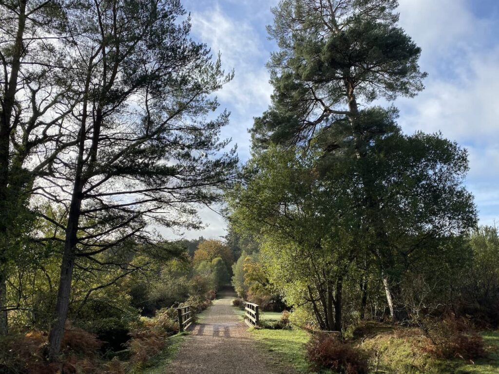
Turning left I follow the inclosure fence line to cross two footbridges and then follow a path in a south easterly direction over Redrise Hill.
After crossing the hill I descend to reach another footbridge.
Now I continue heading south, initially crossing a stream and then heading uphill on a clear track leading to the top of Rock Hills.
As the track levels out I turn left at a junction of paths and after 250?? metres turn right on a grassy track. To my left near the A35 is the Parkway Hill OS trig pillar, I have previously bagged this trig so don’t make the diversion today.
The path leads to a junction of paths near the A35 at Wilverley Post. I initially continue south but after 25 metres turn to the right to follow a path down a valley into Scrape Bottom.
I had initially planned to turn left at a junction of paths, however, decide to follow a faint path that follows the contour line around the hill and heads south towards a minor road.

I cross the road beside a cattle grid and then turn left to take a pathway besides the road which leads to a path along a disused railway track. I turn right and walk beside the remains of the platform of the former Holmsley Railway station. Apparently when the station was opened in 1847 it was known as Christchurch Road but was changed to Holmsley in 1862.
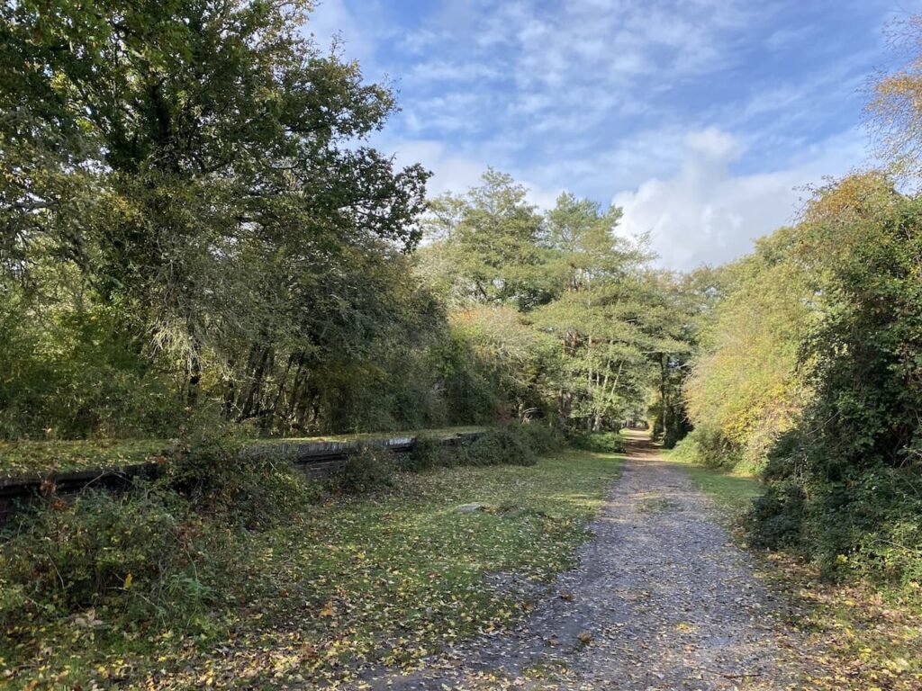
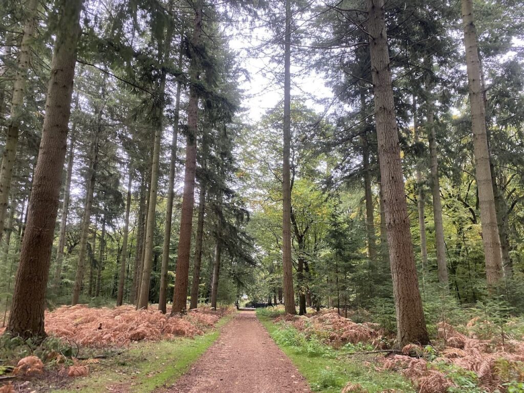
I now follow the track bed of the old Southampton to Dorchester railway line. This was opened in 1847 and was part of a greater scheme to create a coastal route from Southampton to Exeter. The railway operated for passengers until the 1960’s. Apparently there has been a campaign to re-open this section between Brockenhust and Ringwood, but it is currently viewed as a low priority.
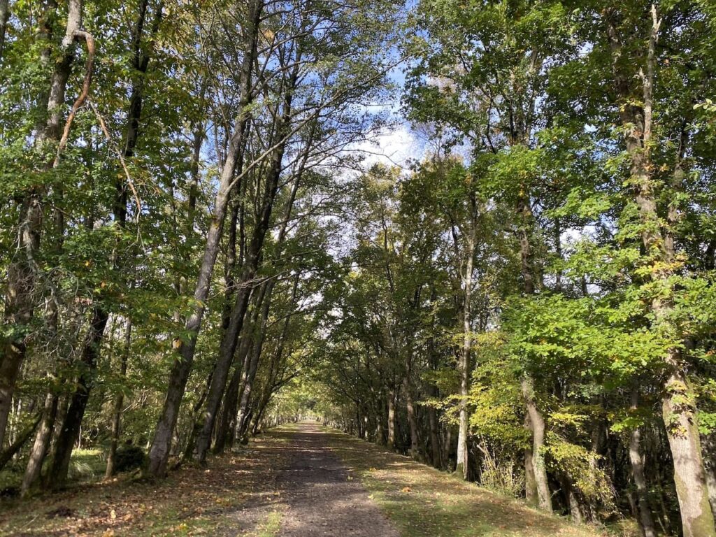
My route is very straightforward following the railway line for 2.5 kilometres heading west towards a car park at Burbush.
It is now a cracking day and it is clear this section of path is a popular venue for weekend walkers and cyclists, so I am grateful when I reach the car park at Burbush. After walking through the car park I cross a minor road (Pound Lane) and then take a path that heads north westerly towards Long Pond.

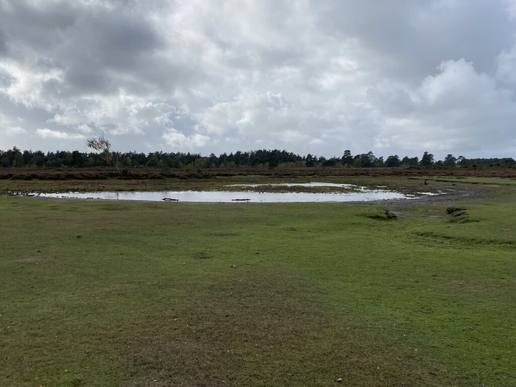
The path goes to the north of the pond, which following an exceptionally dry year looks more like a large puddle. Even the rainfall of the last few days has had little impact.
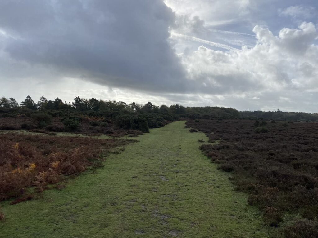
I now take a clear path heading north through Church Moor towards Black Bush. At a fork in the track I keep to the left following the wider of the two paths.
At the next junction of paths I go to the left heading towards a minor road. At the road I cross and continue, soon reaching a fork in the path where I keep left to head through Broad Bottom. There are a network of paths but I have the clear landmark of Vereley Hill Mast in front of me.

The path goes up the hill and then passes a copse heading towards Vereley car park.

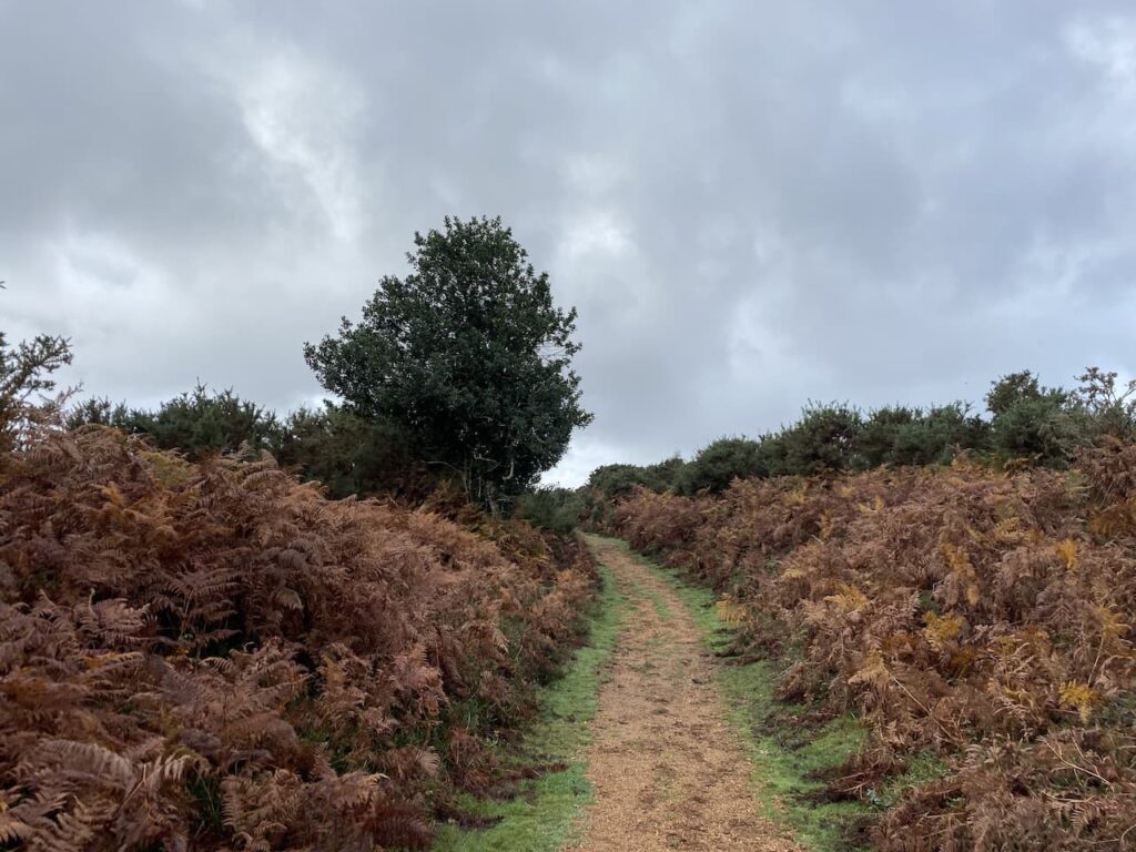
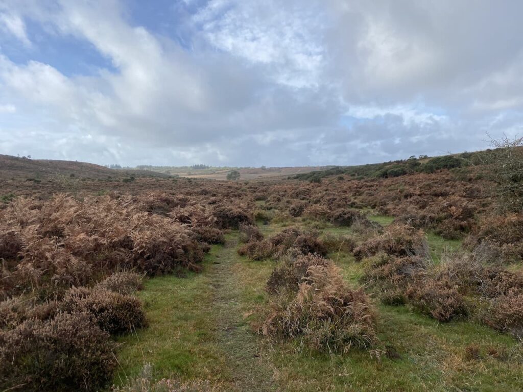
After passing the car park I continue straight on along a clear path through the gorse and bracken.

At a junction of paths I go straight on through a gap in the gorse to reach Smugglers Road. This is a broad track and I turn right. During the 1700’s and early 1800’s the New Forest was rife with smugglers, the proximity to coastal inlets and close knit communities provided an ideal environment to avoid the attentions of excise men. Burley is thought to have been a smugglers haunt. Apparently when renovations were undertaken at the Queens Head Inn in the late 1900’s a secret cellar which still contained firearms and contraband was discovered. Smugglers Road linked the hamlet of Knave’s Ash with the trading post at Ridley Wood.

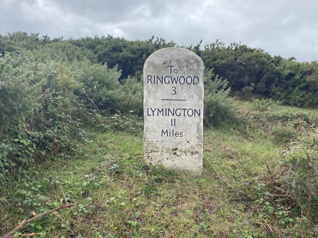
After 300 metres I reach a road, where I turn right and walk the short distance to reach a Milestone which dates back to the early 1800’s, it shows that I am currently 3 miles from Ringwood and 11 miles from Lymington. It also signifies that the road here was once a turnpike road because Milestones did not come into general use until the Turnpike Act of 1766 made them compulsory on turnpike roads. This was an early form of PFI construction because these roads were built by private enterprise under licence from the Government and maintained by tolls on those who used them.
I now cross the road and turn right and follow a track for 100 metres and then turn left on a track that heads east towards Vereley Woods. In the woods the track continues towards the entrance to Vereley Farm.
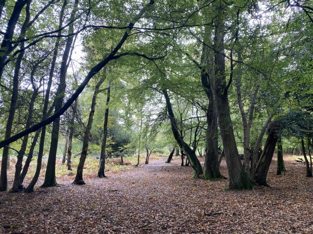
On the track I turn left and follow a clear path towards Ridley Wood, this path initially goes downhill to cross Mill Lawn Brook.

After crossing the brook I continue on the clear path heading north to reach Ridley Wood. In the past these woods were the location of a popular trading post where forest folk and those from further afield, including Salisbury and Winchester, would gather. Therefore, it was also popular with smugglers seeking to sell their contraband.
At a junction of tracks I go right and head east on a clear path through the trees and on reaching a junction of tracks continue straight on along a path known as Sir Dudley’s Ride. The route is so called because it was named after Sir Dudley Forewood in recognition for services rendered to the New Forest as Official Verderer from 1974 to 1982. In his early life he was also the sole equerry to the Duke of Windsor after his abdication in 1937 until the outbreak of war in 1939.
When I come across commemorative paths or plaques to the “great and good” I am often left wondering how many other more ordinary people have given time and effort to a community without any recognition for their dedication.

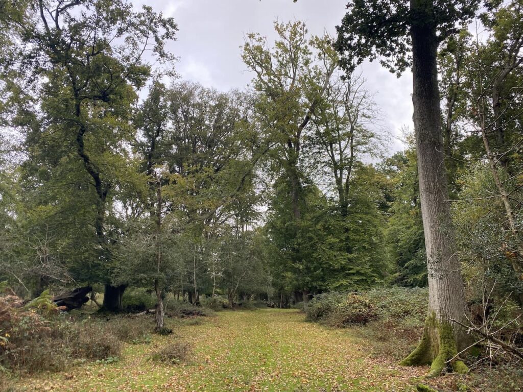
This track crosses a brook and then ascends steadily to go through the edge of Berry Wood to reach a tarmac drive where I go left passing the entrance to the Old House which was once the home of Sir Dudley Forewood. I soon reach a junction of paths where I turn right through an area marked on the map as Soarley Bottom.

I am now heading east and keep going in this direction at a junction of paths to head towards a gate leading into Beech Bed Inclosure.
In the woods I follow a broad grassy track, still heading east. As I stroll along I can hear the distinctive sounds of stags bellowing, it is currently the rutting season and I am wary of getting too close to any stags. The calls seem nearby, I can’t see the stags but proceed with caution.
At a junction of paths I cross a cycleway and continue straight on. I have joined a cycleway to skirt around Burley Rails Cottage.
I now head south for 200 metres to reach a crossing of tracks where I turn left and follow the track across Blackensford Brook.

Staying with the main track I continue straight on for a further 600 metres to reach a cycleway on the right beside a clearing.

I take this right turn and head south for a further 600 metres to reach a footpath on the left which leads me back to a track in Anderwood Inclosure where I turn right and walk the short distance back to the car park where I started my walk.
Like many walks in the New Forest this one is difficult to describe because there are multiple options of paths which appear on the ground but are not shown on the map. I therefore suggest that if you plan to follow this route you download the GPX file or make sure you mark up your paper map before setting off.
To follow my walk, you will need Ordnance Survey Explorer Map OL22 – New Forest
You can view this 15 mile walk and download the GPX File on OS Maps (OS Maps subscription required)
22nd October 2022
© Two Dogs and an Awning (2022)
All information on this site is provided free of charge and in good faith and no liability is accepted in respect of damage, loss or injury which might result from it. To the best of my knowledge the routes are entirely on public rights of way or within areas that are open for public access.
Walking can be hazardous and is done entirely at your own risk. It is your responsibility to check your route and navigate using a map and compass.
Cracking achievement well done….