

We have decided to walk from the caravan site today. I am never keen on driving far when we are away. Years ago I used to find driving pleasurable, but nowadays it is something to be done out of necessity and I try to limit our mileage as much as possible. Walking from the site also gives us a great opportunity to get to know the area in more detail.
After chatting to the CL owner Kate this morning I have checked the map and plotted a walk that will take Lynnie and I along a section of the River Severn. Leaving the site we turn left and follow the minor road Stoneyard Lane, which soon becomes Hill Lane, towards the village of Hill. Clearly the locals around here were not that imaginative when they named their villages, but then again the land around here is fairly flat.
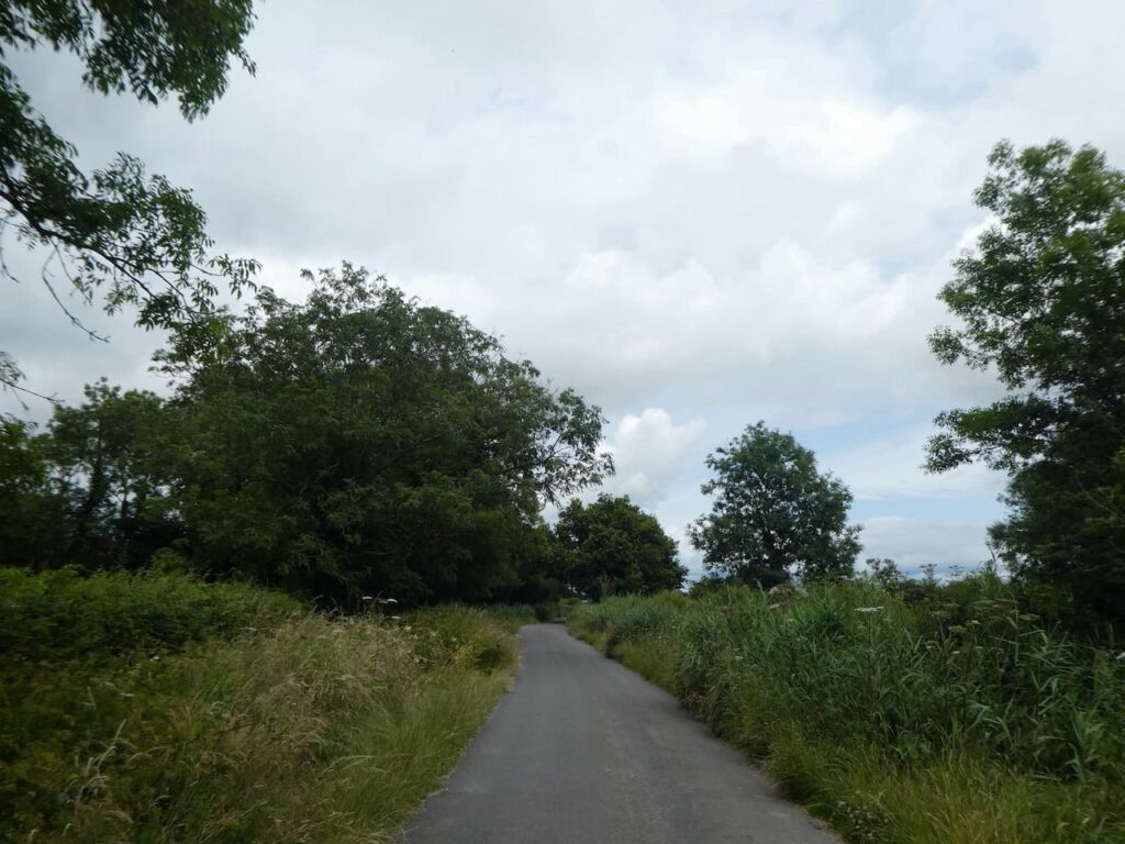
This is a very quiet lane and forms part of Route 41 on the National Cycle way. This is a 120 mile cycle way connecting Bristol with Gloucester, Stratford-on-Avon and Rugby.
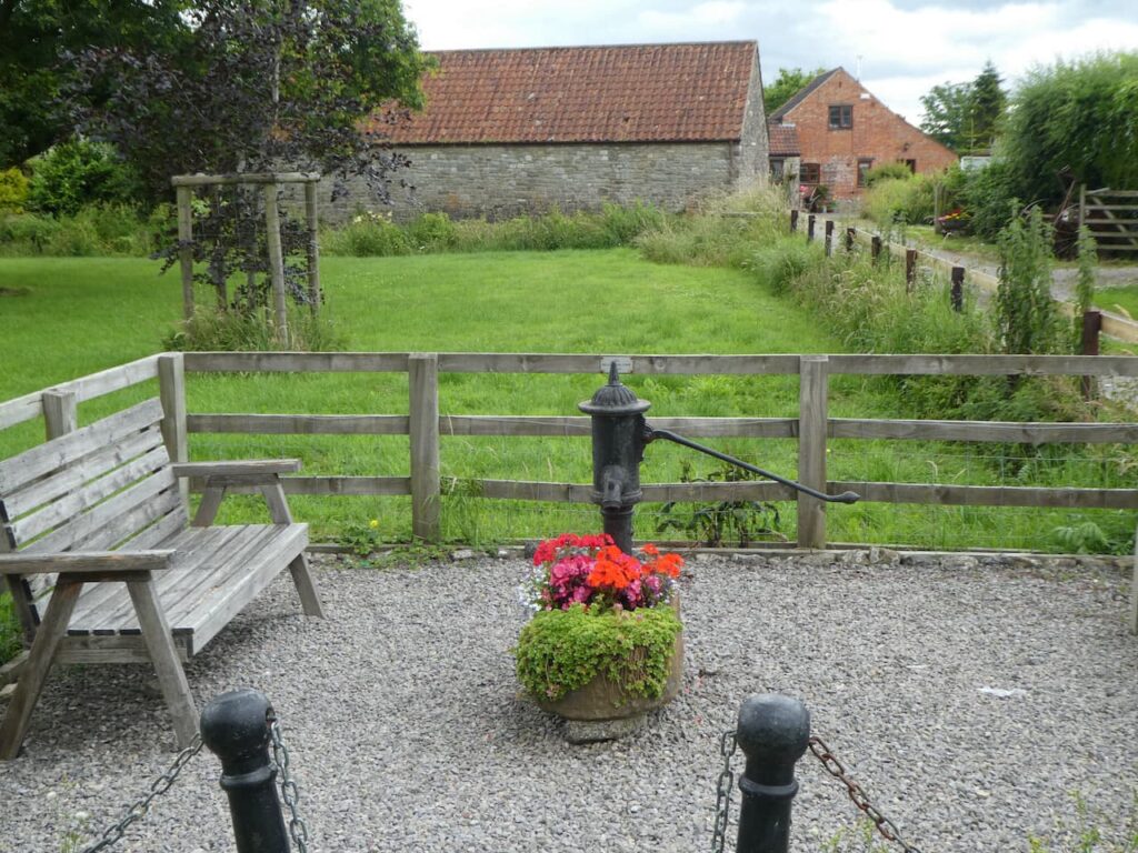
We follow the road into Hill and decide it is time for lunch, we find a convenient spot on one of the two benches besides the Millennium Pump. Areas like this are always a blessing to walkers looking for a suitable spot to stop and take on some refreshments.
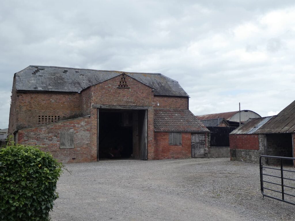
Apparently Hill is recorded in the Doomsday Book as Hilla and then between 1250 and 1455 it was recorded as Hulla, but since 1733 it has been known just as Hill. After our lunch we continue along the road and pass the entrance to St Michael and All Angels Church and Hill Court. We stay with the road passing Blisbury Farm with its collection of fine old brick barns.
Up on the escarpment to our right is Catgrove Wood. These woods were the scene of a murder on the night of 18th January 1816. Sixteen poachers took part in a mass poaching intended as a protest, feelings were running high following the death of a local man, killed by a spring gun two months earlier. The group encountered gamekeepers and in the resulting melee an assistant gamekeeper, William Ingram, was shot dead. Eleven men stood trial for his murder, two were executed and the remaining nine were transported as convicts to Australia.
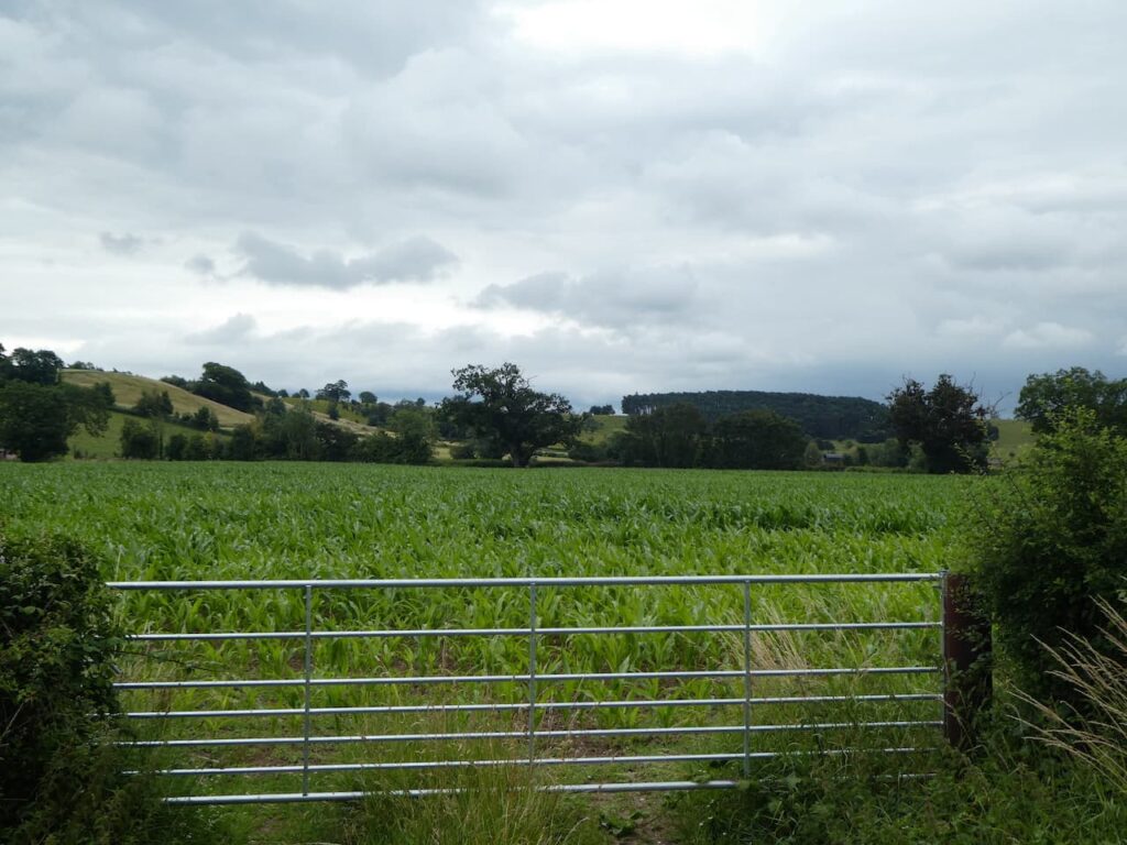
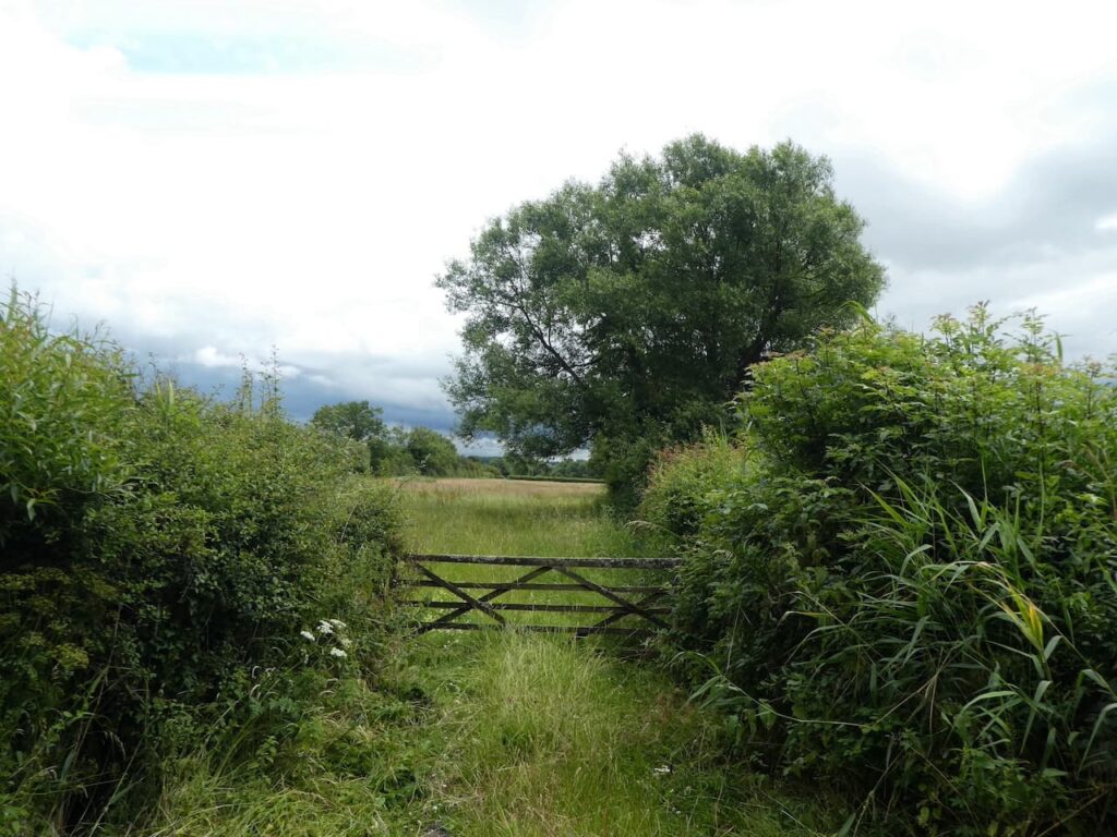
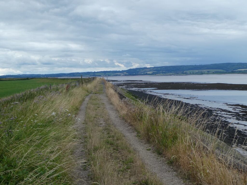
On reaching a crossroads we turn left onto Severn Lane and follow this to reach Severn House Farm. Here we go through a gate and turn left to join the Severn Way as it follows a path along the sea wall.
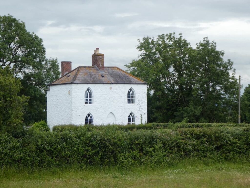
Following the Severn Way we pass the White House, apparently this house dates from 1845 and has long been associated with navigation on the River Severn. It now has a navigation beacon beside it.
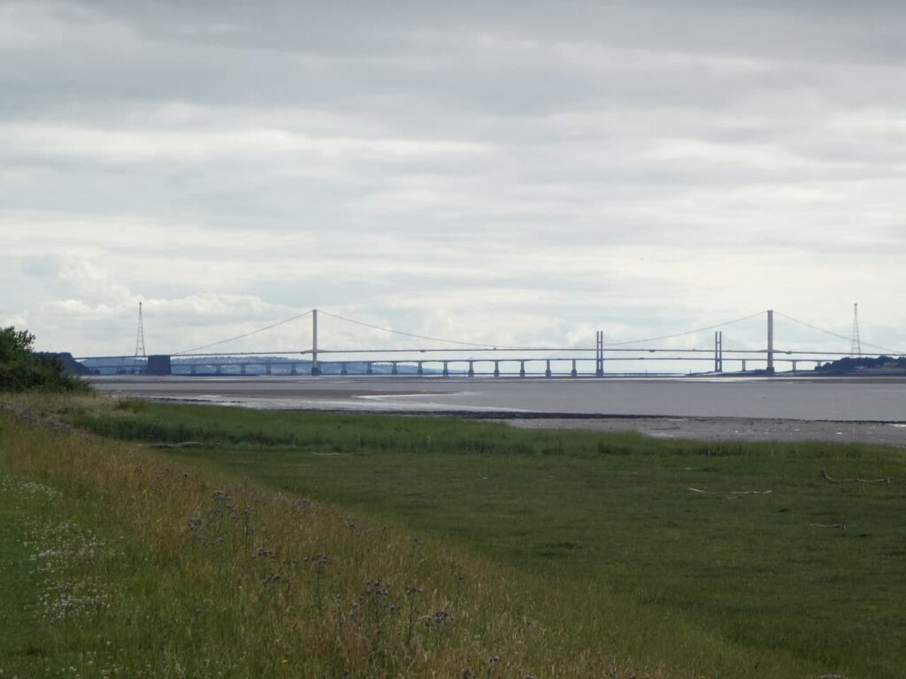
In front of us we can see the two road crossings over the River Severn. The suspension bridge closest to us, The Severn Bridge, was opened in 1966 by Queen Elizabeth II, it was granted Grade 1 listed status in 1999 . It originally carried the M4 to link England and Wales. With the opening of the second river crossing, The Prince of Wales Bridge, in 1996 the main M4 was rerouted to cross the new bridge, whilst the old bridge was designated as the M48. Both started life as toll bridges but are now free to cross.
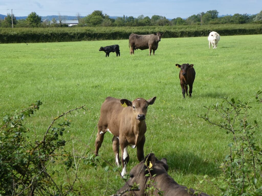
On reaching a gate to a minor road we leave the Severn Way and walk along Shepperdine Road heading back inland. This lane passes farms, there are options to cut corners on footpaths, but it is pleasant walking on the quiet lane so we stick with it as we wend our way back. As we pass a field of cattle the inquisitive calves watch us carefully.
At the junction with Stoneyard Lane we turn right and walk the short distance back to the entrance to Golden Valley House CL. Our walk has covered ten and a half miles and it has been a pleasant jamabout.
To follow our walk you will need Ordnance Survey Outdoor Explorer OL167 Thornbury, Dursley & Yate
You can view this 10.5 mile walk and download the GPX File on OS Maps (OS Maps subscription required)
10th July 2021
© Two Dogs and an Awning (2021)
All information on this site is provided free of charge and in good faith and no liability is accepted in respect of damage, loss or injury which might result from it. To the best of my knowledge the routes are entirely on public rights of way or within areas that are open for public access.
Walking can be hazardous and is done entirely at your own risk. It is your responsibility to check your route and navigate using a map and compass.