

Earlier in the year whilst staying at Goodleigh Hill CL near Pershore we walked from the site to Parsons Folly on Bredon Hill. It was a cold day and on the way up it started to snow and at the top we were in a blizzard. It is hard to believe it was just eight weeks ago. Today the forecast is for a warm, sunny day so it will be a significant contrast.
We leave the site by the main driveway passing the glasshouses and reaching Back Lane where we turn right and walk into the village. Turning left at the end of the lane we see the village cross. It is thought that prior to the village church being built in 1627 this cross was used as a preaching place by the monks from nearby Beckford Priory.
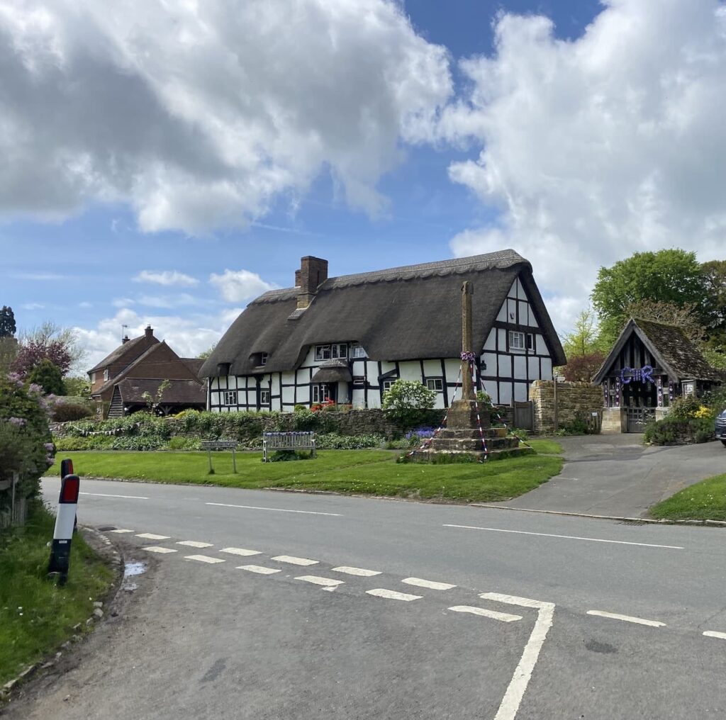
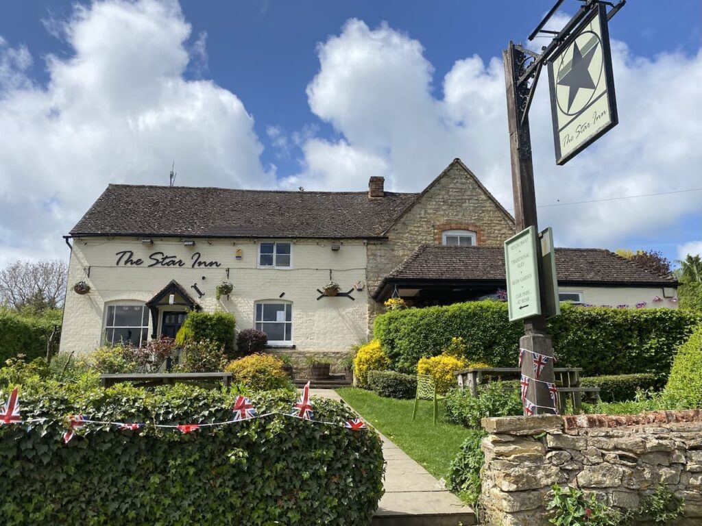
We now turn right and head through the village passing the Star Inn. After my walk yesterday we popped to this pub for a couple of sharpeners and I was very impressed with the quality of the beer. We may well be venturing in a couple more times during our stay.
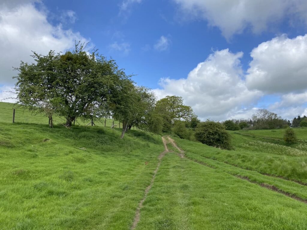
We continue through the village until we reach Cotton’s Lane where we turn left and head steadily uphill out of the village. We ignore a couple of paths to the right and stay on the tarmac driveway with some fine views.
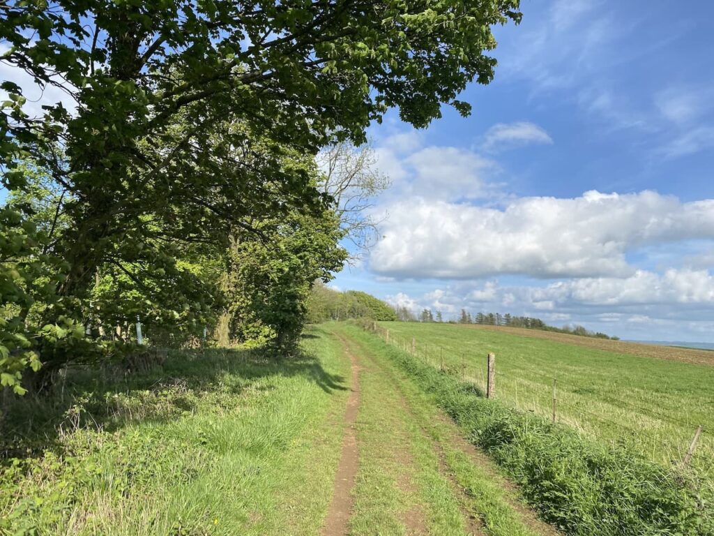
After passing some farm buildings we go through a gate and continue uphill on a track.
At a junction of paths we go to the right following the path uphill to reach a gate into a field.
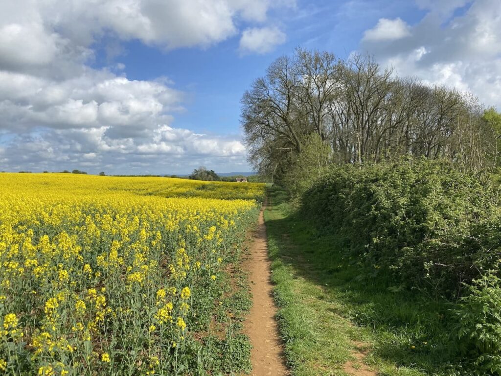
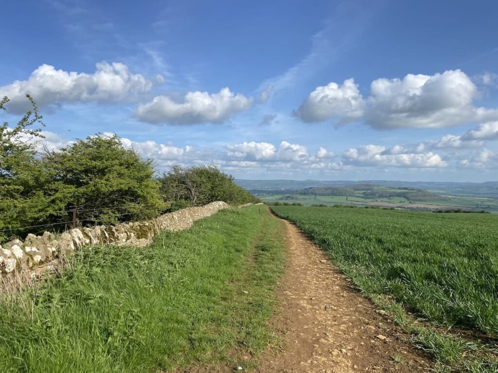
This is a well way marked path and we continue through fields in a north westerly direction following the contour line through fields.
At a junction of paths at Fiddler’s Knap we turn right and head downhill towards Elmley Castle.
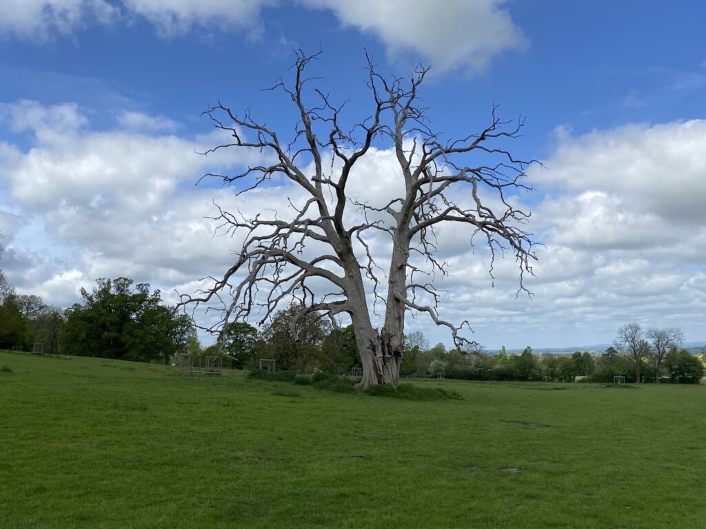
We go downhill to reach a footbridge across a stream, here the path forks, we go left to cross a field with a fine old dead tree standing in the middle.
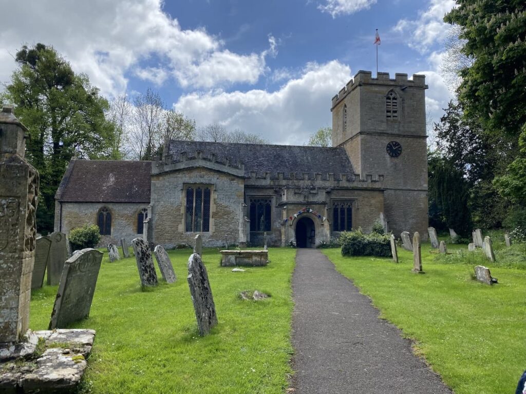
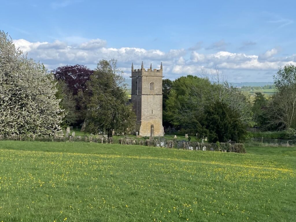
Through a kissing gate we head diagonally across a pasture field and then cross a stile and head along a fence lined path leading into the churchyard of St Mary’s. We have previously looked inside the church which contains some interesting features including some impressive monuments. Today our focus is on finding a bench in the churchyard to have our lunch.
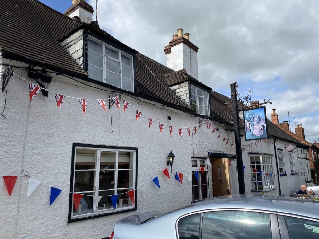
Leaving the churchyard we turn left by the village pub, The Queen Elizabeth. This 16th century pub apparently derives its name from the visit of Queen Elizabeth I to Elmley Castle in August 1575. One side of the pub sign shows the date 20th August 1575, and the pub’s website says they like to think that the Queen stayed at the inn. Even if it can’t be proven it is a good marketing ploy.
The pub is owned by the community, which increasingly seems to be the only way many villages can keep a local pub. I am a strong advocate of community ownership of pubs and shops, it ensures the longterm viability of assets which are essential to rural life.
We now head out of the village along the road and when the lane turns sharply to the left we take a footpath on the right. The OS map shows the footpath traversing the yard of a farm but the signage directs us to the right and then left. I am not sure if this is an official diversion or something put in place by the land owner. Either way it makes it easy to navigate because the route is well marked.
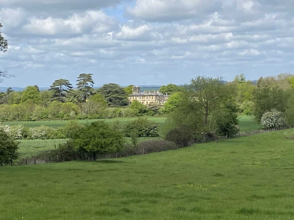
Away to our right we get a glimpse of Bricklehampton Hall. This is an interesting Italianate house built in 1848 which, has now been converted into a care home.
We follow the footpath as it passes through fields to reach a junction of paths at a track. Here we turn left and head towards Windmill Hill.
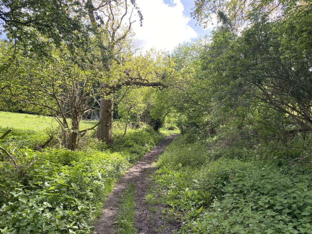
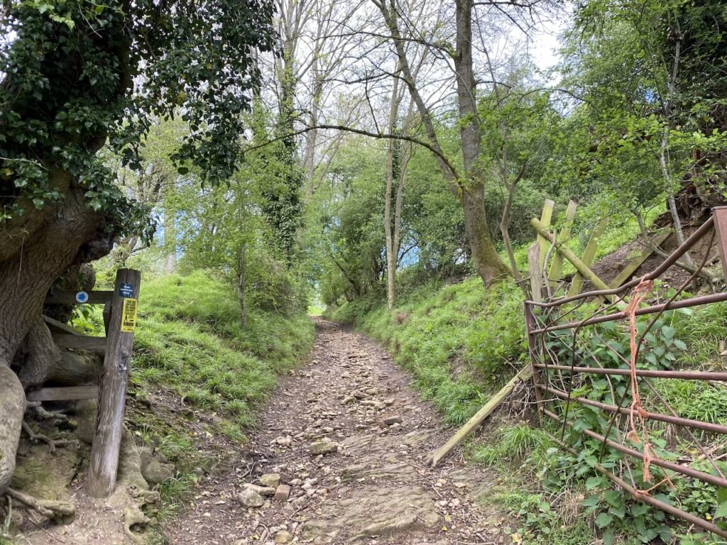
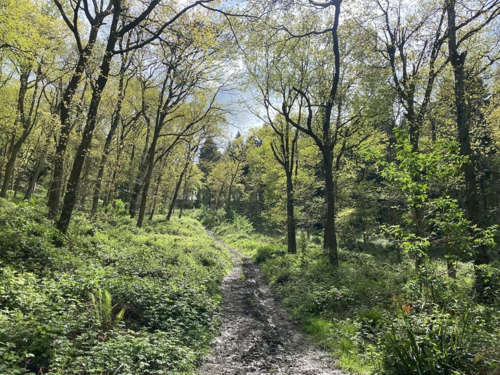
The track soon levels as it enters woodland and then goes steeply uphill through Cames Coomb. When Lynnie and I came here in March it was boggy and very slippery, after the recent heavy rain it is not much easier now.
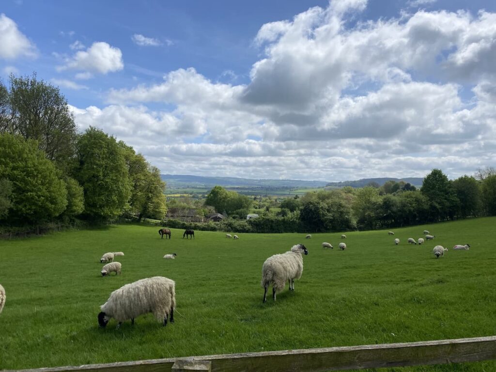
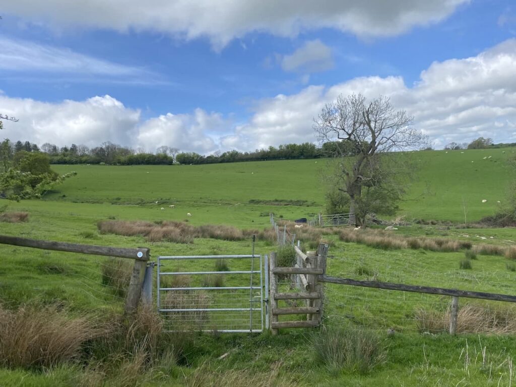
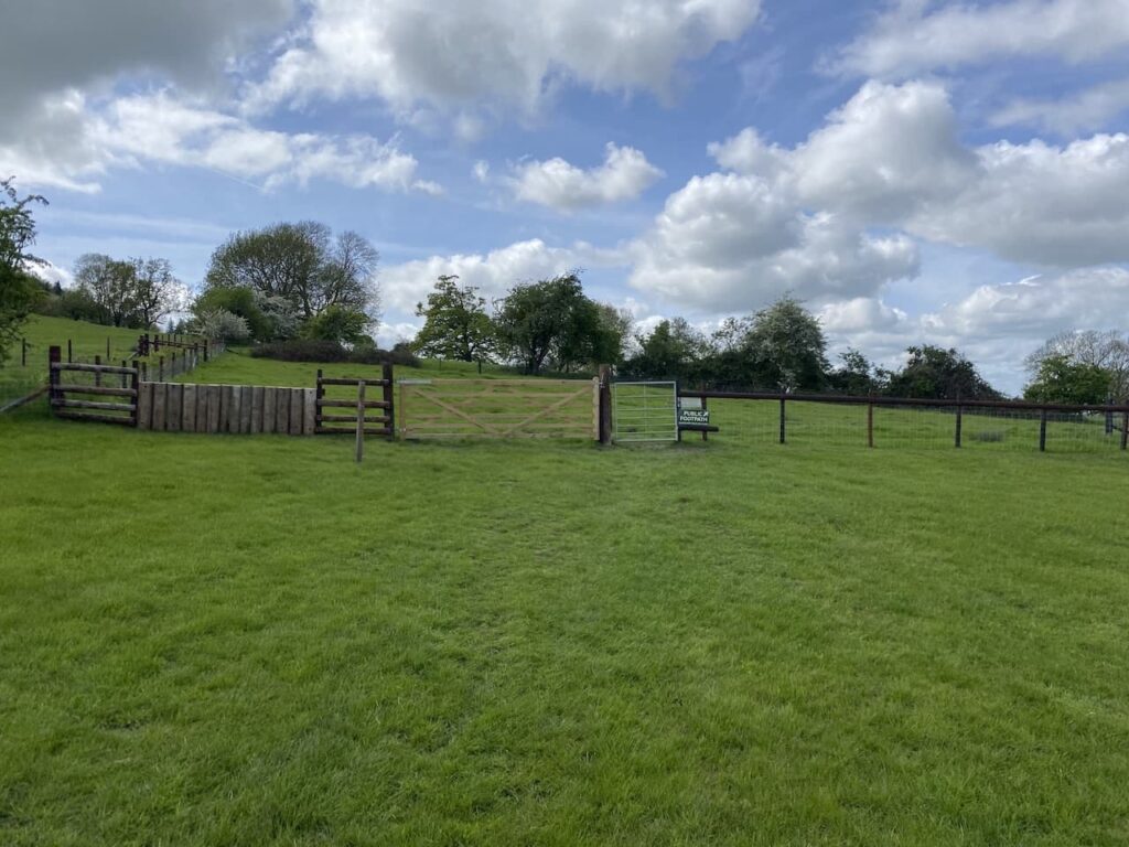
Nearing the top of the hill we go through a gate and then continue across a field of pasture.
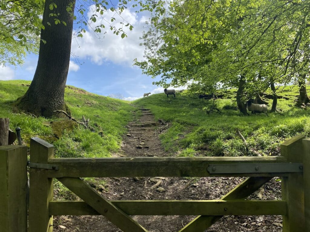
After going through another gate we head uphill on a grassy track.
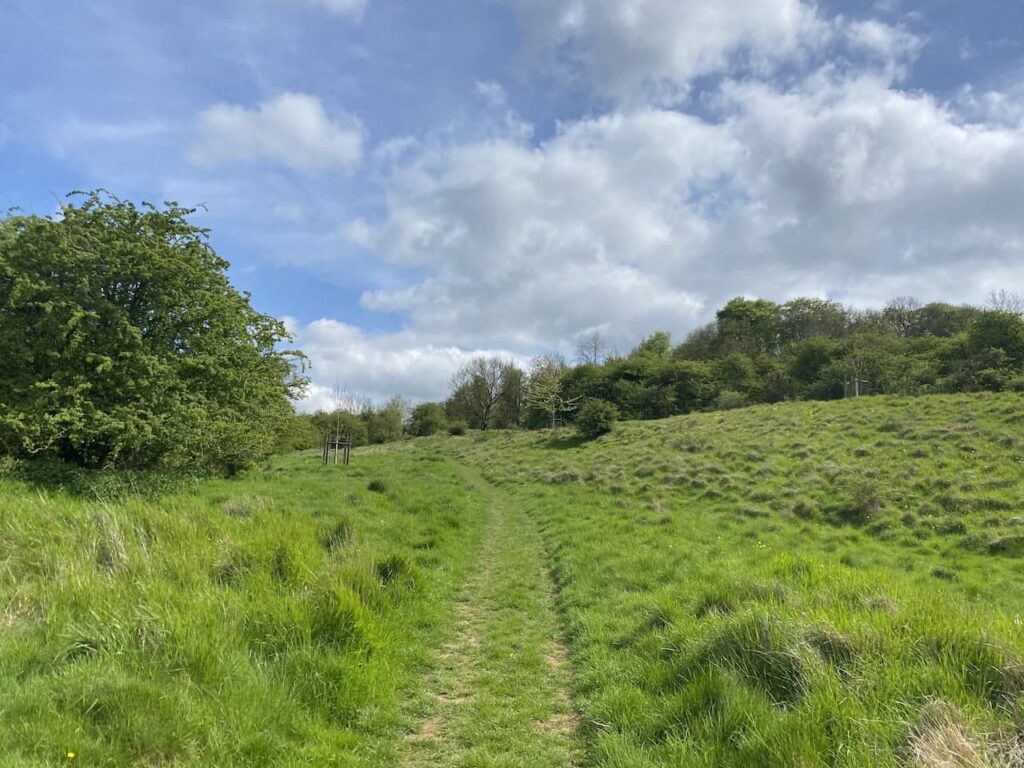
At a junction of tracks we turn right and keep going uphill to reach the top.
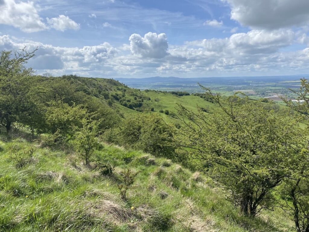
We now follow the path as it heads west towards Bredon Hill Tower which is also known as Parsons’ Folly. The tower was built in the mid 18th century for John Parsons MP (1732-1805) as a summer house, he was the squire of nearby Kemerton Court and the folly is now owned by Overbury Estate and leased as a mobile phone base station.
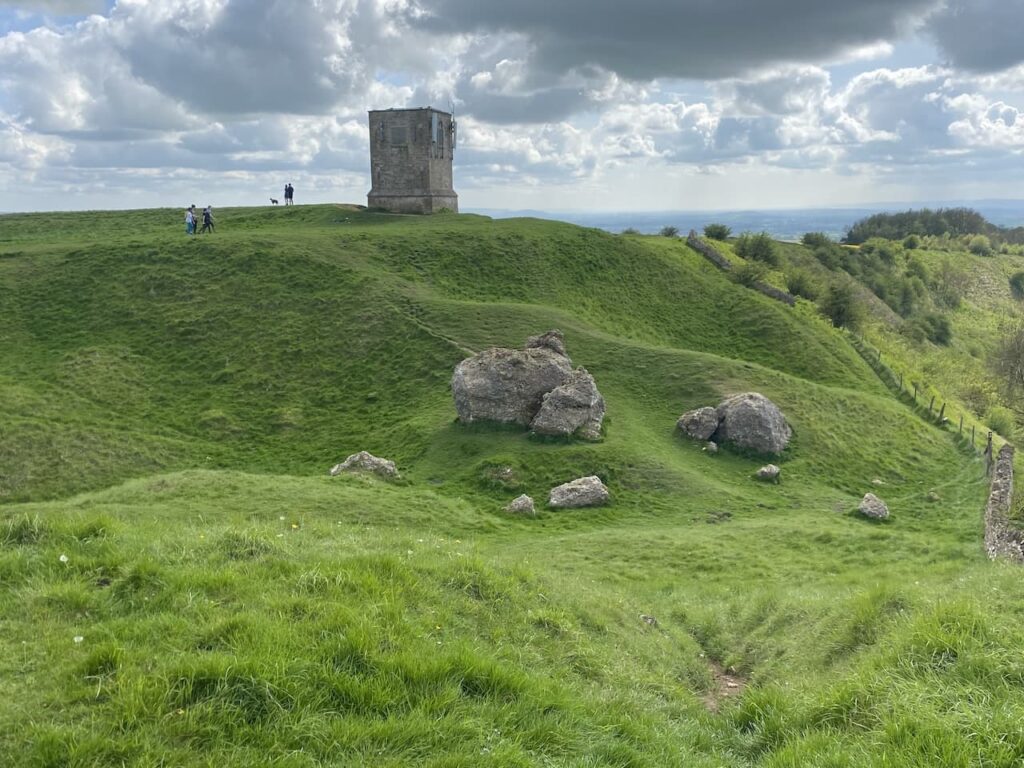
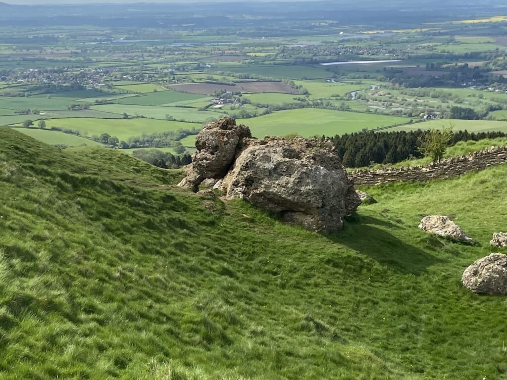
Just below the tower is the “Banbury Stone” which is also know as the Elephant Stone because of its supposed similarity to an elephant.
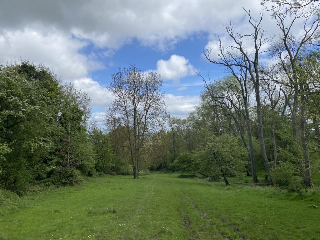
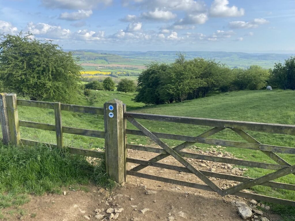
From the folly we continue along the edge of the hill and then go through a gate and enter a belt of woodland.
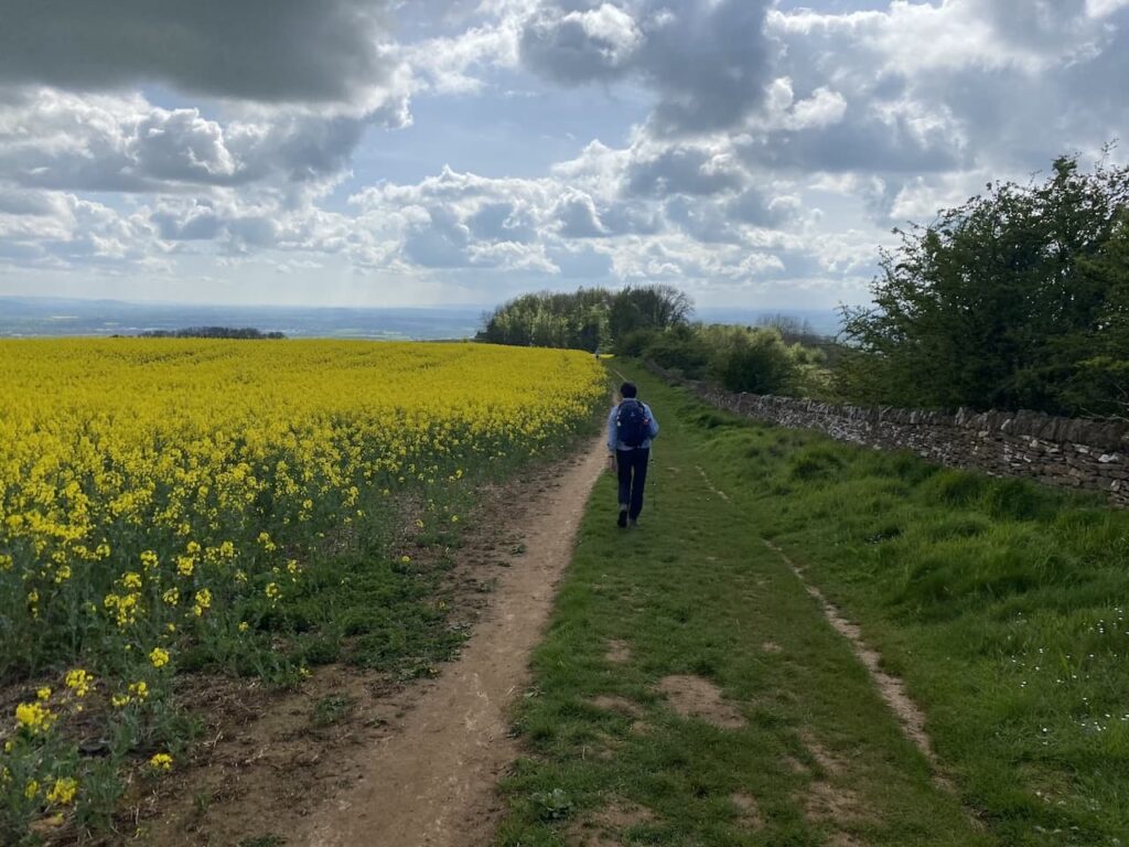
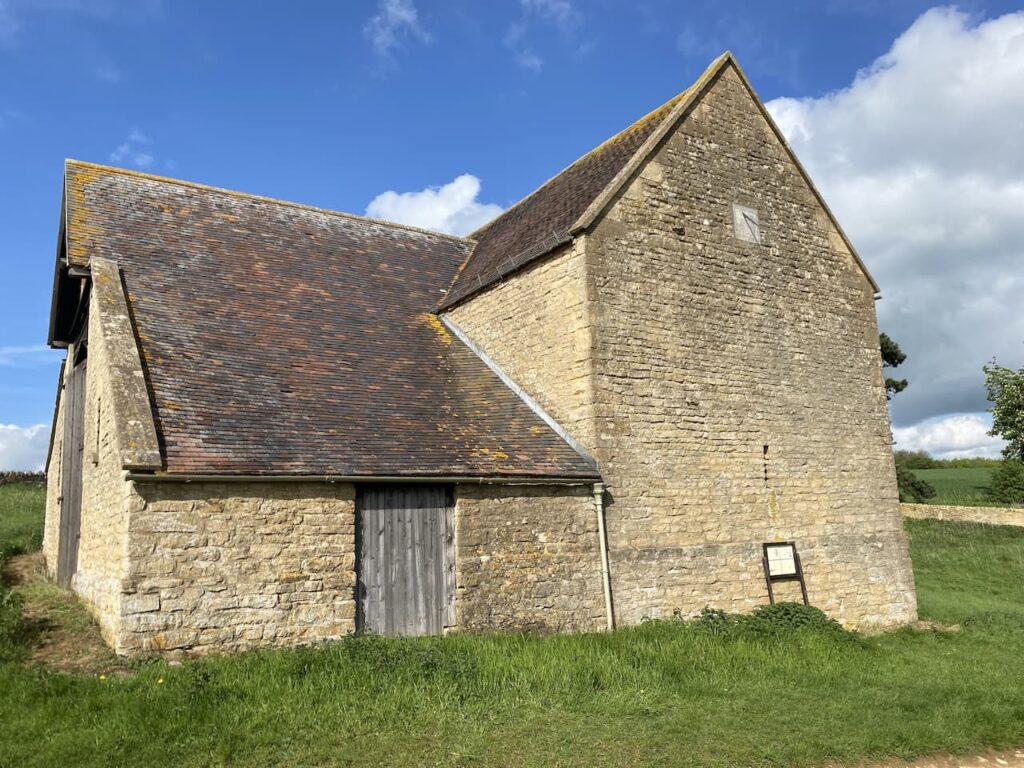
We ignore a path on the right which heads downhill and then after 250 metres we take a footpath on the left which heads along the edge of a field going towards Sundial Farm.
A restored barn is all that now remains of the former Sundial Farm. On the east side there is a sundial high on the wall, it is from this that the former farm got its name.
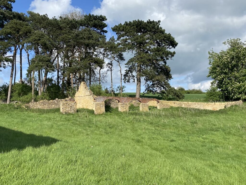
We stop briefly to have a look at the ruins of the former farm before heading off in an easterly direction.
At a belt of trees we turn left and follow the track with the trees to our right.
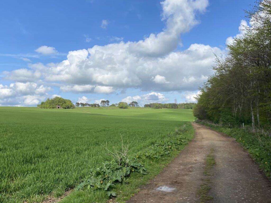
At a junction of paths we turn right and continue on with the trees to our right going straight on ignoring two paths leading off to the right. The path turns left and heads uphill towards woodland. At a junction of paths we turn right joining the route of Wychavon Way. The Wychavon Way is a forty-mile long distance path crossing Worcestershire from Droitwich Spa to Broadway.
As the path starts to descend we get a stunning view in front of us.
Going through a gate we continue to head downhill still on the Wychavon Way.
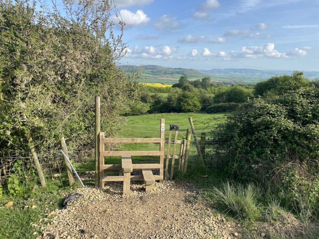
On reaching a stile we cross and follow the way markers as our route heads more steeply down hill to Ashton under Hill.
The route takes us into the village beside St Barbara’s church, parts of this church date from the 12th, 13th, 14th and 15th century with the chancel being rebuilt in 1624. Restoration work was undertake in 1868 and 1913.
Now back in Ashton under Hill we head back to the caravan site at Rails End. It has been a cracking walk with some stunning views.
You can view this walk and download the GPX File on OS Maps (OS Maps subscription required)
To follow this walk, you will need Ordnance Survey Explorer Map – 190 – Malvern Hills & Bredon Hill
7th May 2023
© Two Dogs and an Awning (2023)
All information on this site is provided free of charge and in good faith and no liability is accepted in respect of damage, loss or injury which might result from it. To the best of my knowledge the routes are entirely on public rights of way or within areas that are open for public access.
Walking can be hazardous and is done entirely at your own risk. It is your responsibility to check your route and navigate using a map and compass.