Following yesterday’s unsettled weather today’s forecast is for a warm, sunny day so we decide not to wander too far. Crosby is not so keen on long walks in hot weather these days. We have a route in mind which will visit Winskill, but we have an option to shorten it if Crosby is struggling.
Leaving Brigholme Farm CL we turn right and follow Station Road towards Penny Bridge. Before reaching the bridge we turn left into Sandholme Close and soon join the Dales Way as it heads besides the River Ribble on a tarmac path. We soon reach the Giggleswick Memorial Bridge with the converted Kings Mill on the far side of the river. Kings Mill was an old cotton mill built around 1830 by John Proctor.
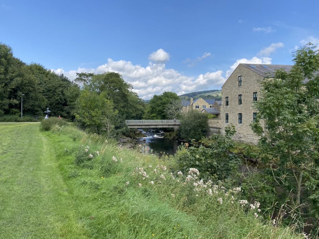
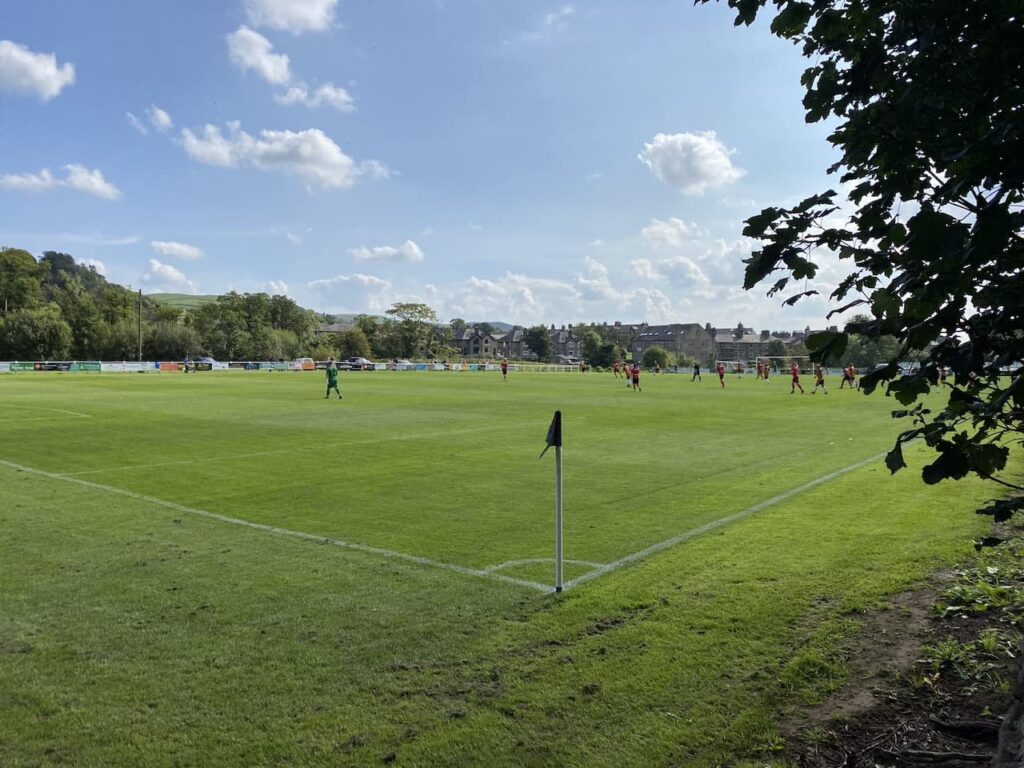
Instead of crossing the bridge we continue along the path with the river to our right. On reaching Settle Bridge we still keep the river to our right and cross the road to take the footpath which runs beside Settle United AFC’s football ground. There is a match in progress so we watch as we slowly pass the side of the pitch. Formed in 1884, Settle United AFC until recently played in the Craven Premier League which they won on a number of occasions. They now play in the East Lancashire League and their website claims they are highly successful at this level. However, today they look set for a defeat.
After passing the school playing field we go through a wall gate and enter a pasture field following the Dales Way towards Stackhouse Lane.
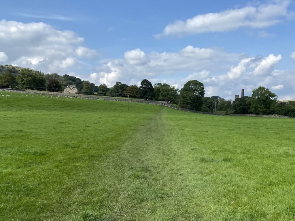
After going through a couple of fields we reach the lane and turn right and walk along the road to reach Stackhouse Farm. Since we were here last year a new Caravan and Motorhome Club CL site has opened at Stackhouse Farm.
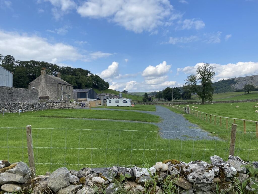
We take a footpath on the right just before Stackhouse Farm, this goes through a gate and follows a walled path towards the River Ribble.
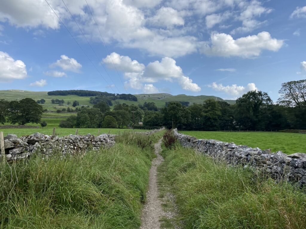
At the river the Dales Way goes to the left, but we take the path leading over a bridge and past a weir.
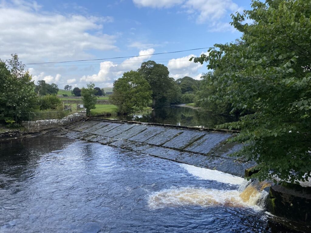
On the far side of the river we turn right and walk through cottages on either side and then take a path besides the final cottage on the left. This leads to a gate which we go through to walk beside the Mill Pond of Langcliffe Mill.
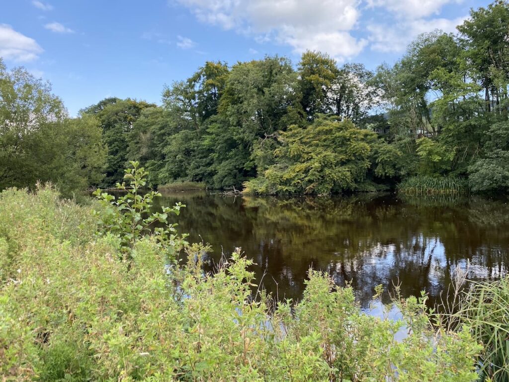
The High Mill at Langcliffe was built in 1780 and was one of Yorkshire’s earliest and largest cotton-spinning mills. It is still in use today as a paper mill.
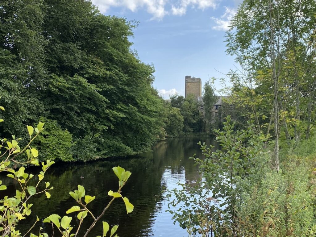
We follow the path around the side of the mill to reach the entrance driveway to Langcliffe Park Caravan site. Crossing the driveway we take a walled footpath leading to a footbridge over the Settle to Carlisle railway line.
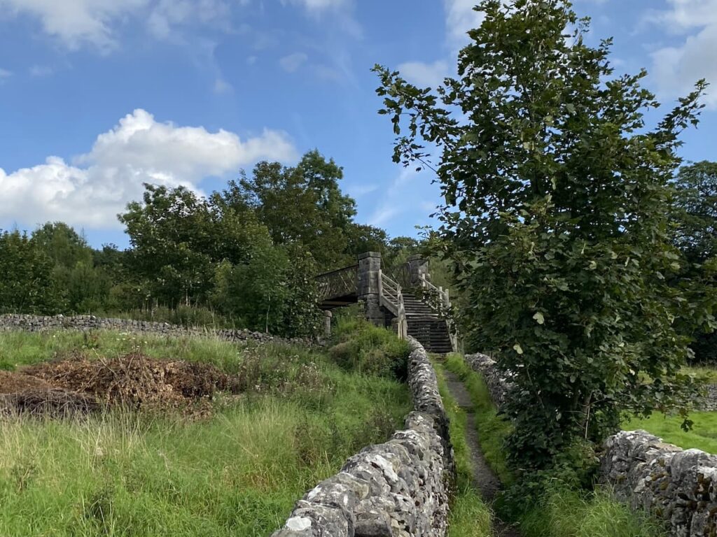
The footpath leads us to the B6479 which we cross with care and walk into Langcliffe where we stop at the War Memorial to get a drink for Crosby. We decide it is too hot to head towards Winskill so instead opt for the shorter route back towards Settle.
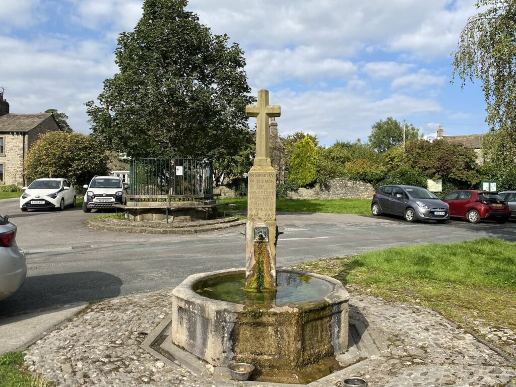
Continuing through the village we pass the Church and former school and continue uphill on the road. Just as the road bends to the left we take a footpath in front of us which goes through a gate and then heads steeply up through a pasture field.
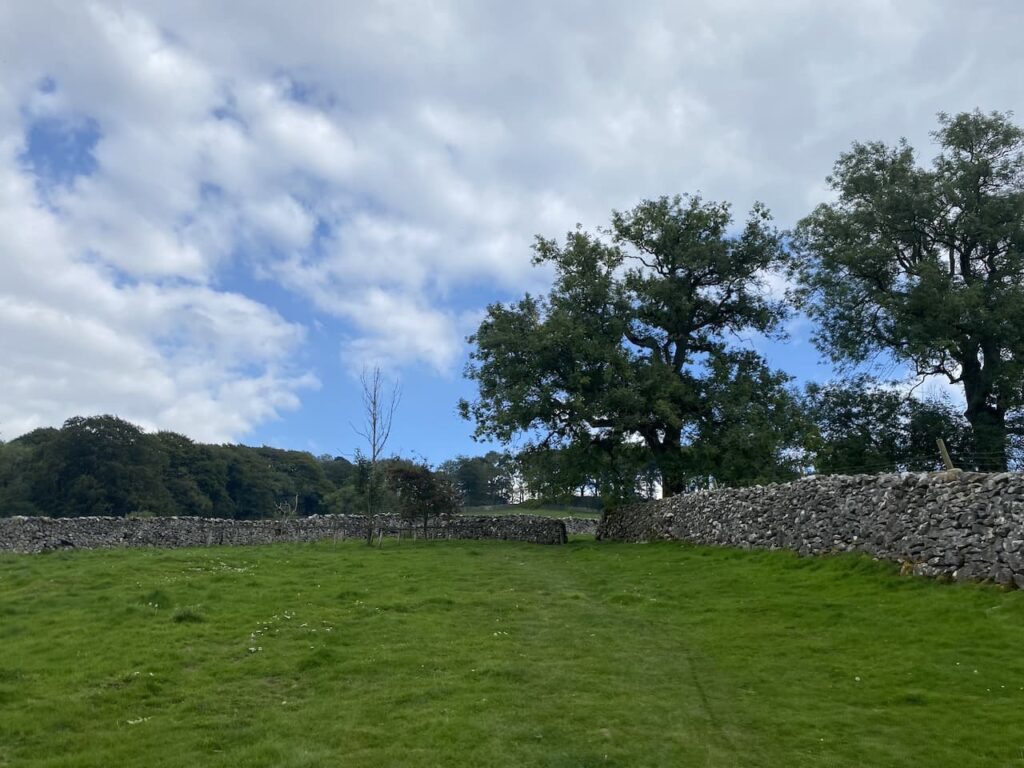
The path turns to head south through fields passing under the limestone outcrop of Blua Crags with views towards Settle to our right.
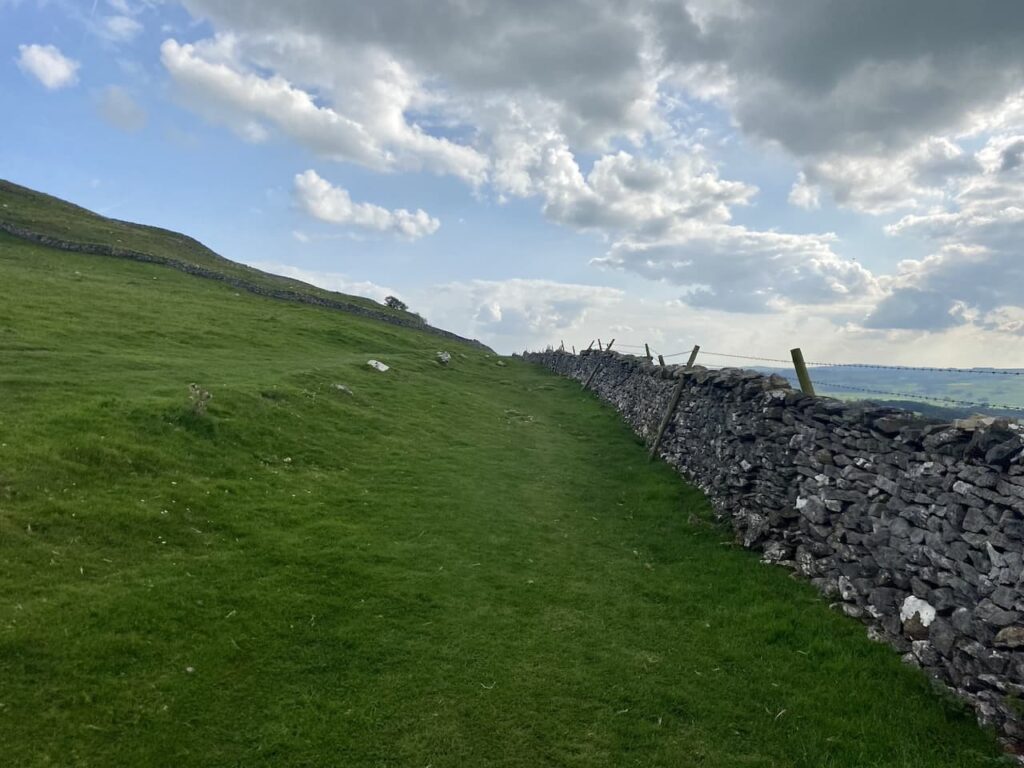
We keep the drystone wall to our right going through a couple of gates to join a track heading steadily downhill into Settle.

In Settle we head down to the Market Square.

We then make our way back through Settle to the caravan at Brigholme Farm. In has been a pleasant wander on a warm afternoon.
To follow our walk you will need Ordnance Survey Outdoor Explorer – OL2 Yorkshire Dales Southern and Western Areas
You can view this 5 mile walk and download the GPX File on OS Maps (OS Maps subscription required)
2nd September 2023
© Two Dogs and an Awning (2023)
All information on this site is provided free of charge and in good faith and no liability is accepted in respect of damage, loss or injury which might result from it. To the best of my knowledge the routes are entirely on public rights of way or within areas that are open for public access.
Walking can be hazardous and is done entirely at your own risk. It is your responsibility to check your route and navigate using a map and compass.
