

When planning walks for this trip I realised we had not walked around Combe Martin. A couple of years ago we drove by and had a brief stop in the village, but that is the extent of my visits. Lynnie remembers trips there many years ago but apart from our brief stop has not been for nearly fifty years. Like most walks I plan, this one will start a few miles away from where I want to visit. We start from the car park in the old quarry on Holdstone Hill EX34 0PF (Grid Ref: SS263474).
From the car park we go northwest uphill on Holdstone Down on a clear path through the gorse and heather.
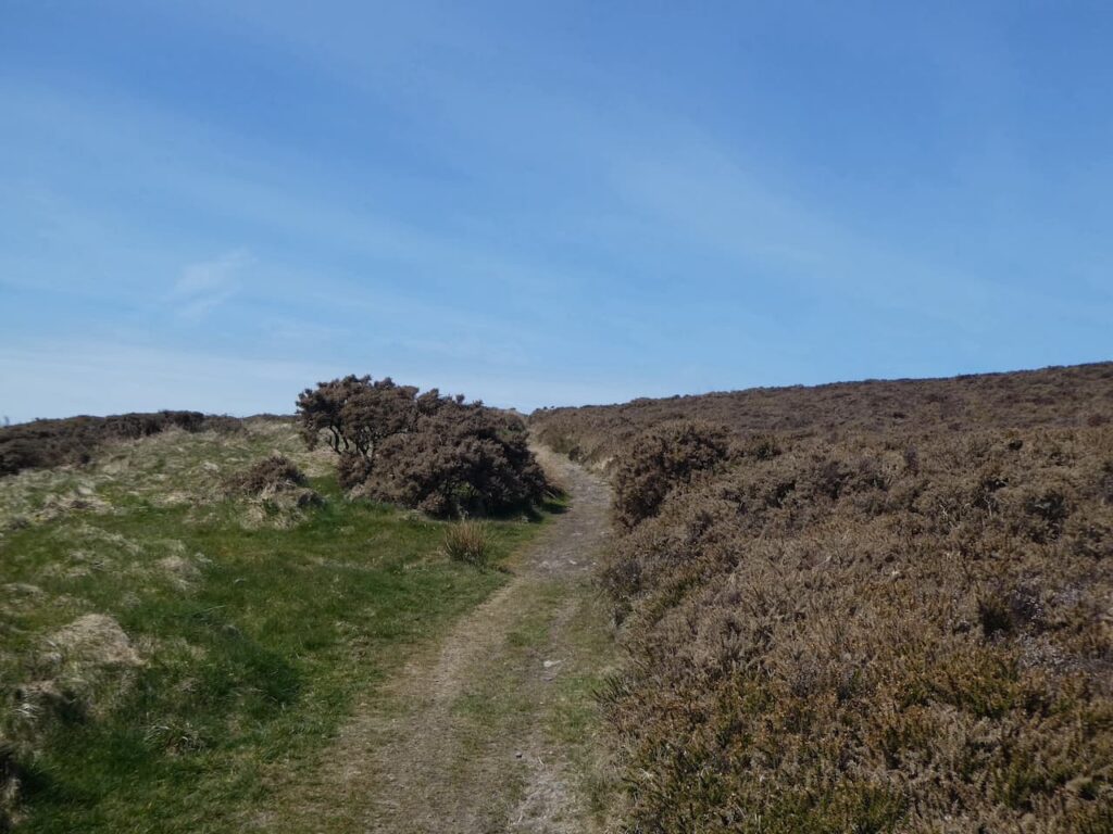
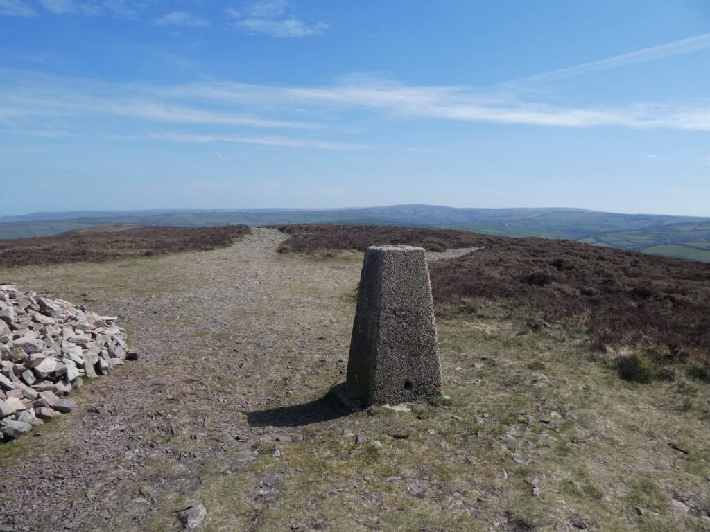
After months of walking on the chalk downs in Wiltshire it makes a welcome change to get a rocky path beneath our boots. Soon we are at the hill summit on which sits a large cairn and an Ordnance Survey trig pillar. This is the 239th trig I have bagged, but it is 140 days since I bagged the last one.
From the trig point we head west on a clear path that steadily descends through the gorse, we stay with this path until we reach a junction with the South West Coast Path.
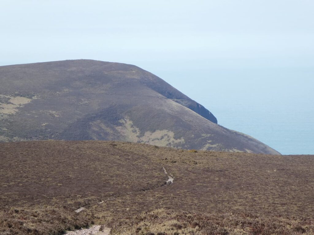
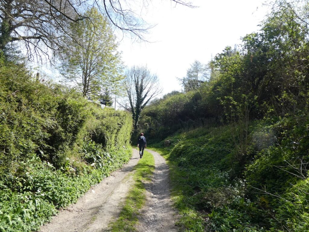
We turn left onto the South West Coast Path and stay with this route as it passes through a gate and descends steeply into Sherrycombe.
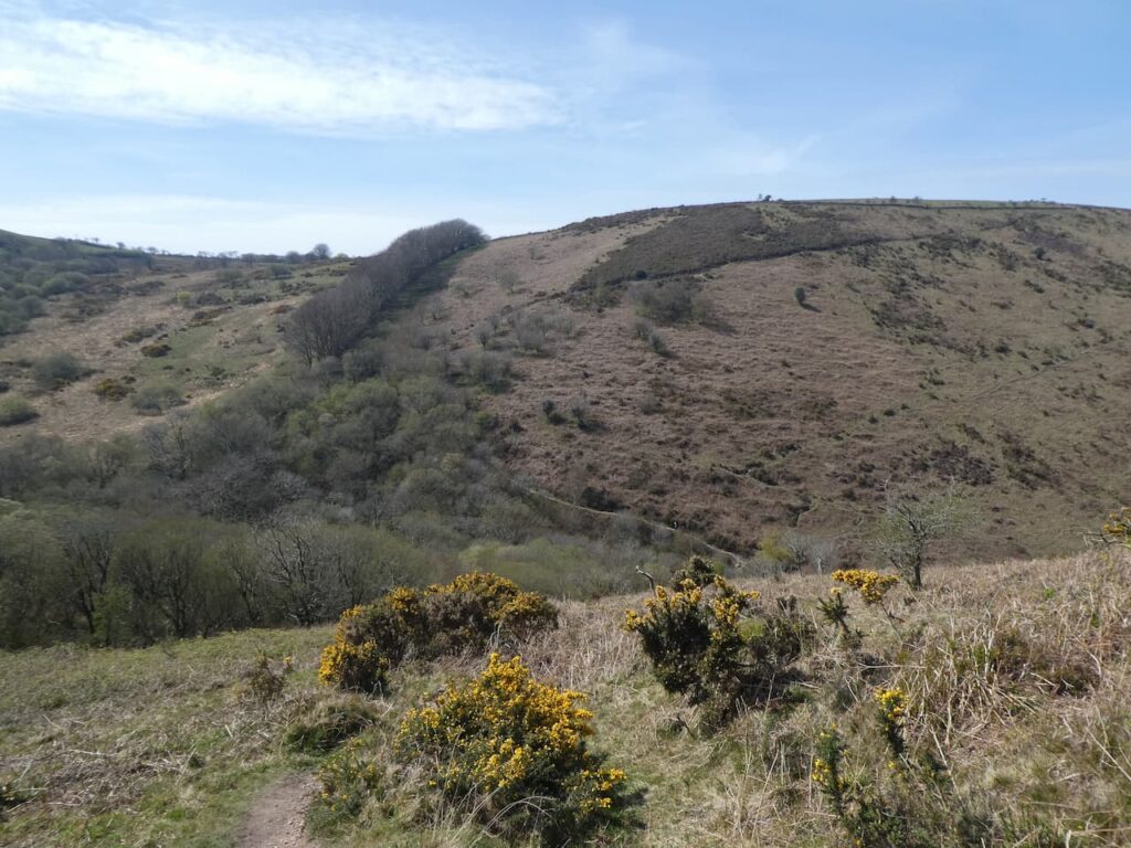
This is a cracking combe, the path leads to a footbridge over a stream.
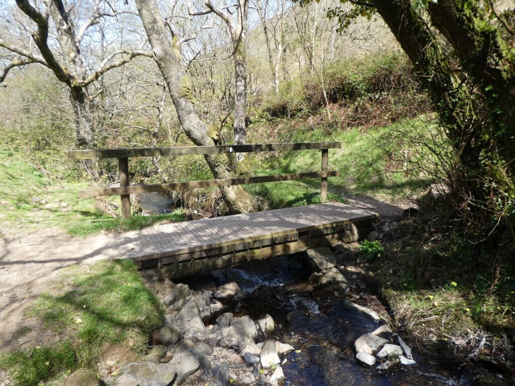
After crossing the bridge the path takes us out of the combe onto the aptly named Girt Down. This is a stiff ascent the likes of which we have not tackled for a long time and it gets the calf muscles burning.
As the route begins to level we reach a junction of paths, here we turn left leaving the South West Coast Path to take a route signposted to “County Road”.
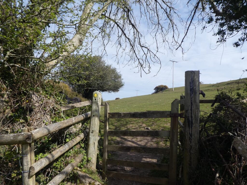
We now head along the boundary of access land and a field to reach a stile. After crossing the stile and entering a pasture field we continue with the fence line to our left to reach a gate onto a track.
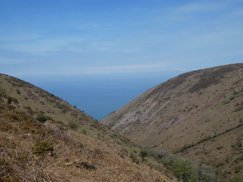
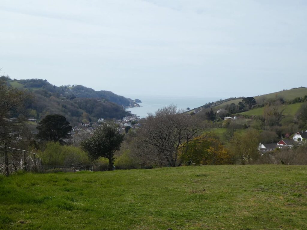
Staying with the track we pass Girt Down Farm and then soon after take a track on the right with a way marker for Combe Martin. There are some cracking views of the village and coastline as we steadily descend.
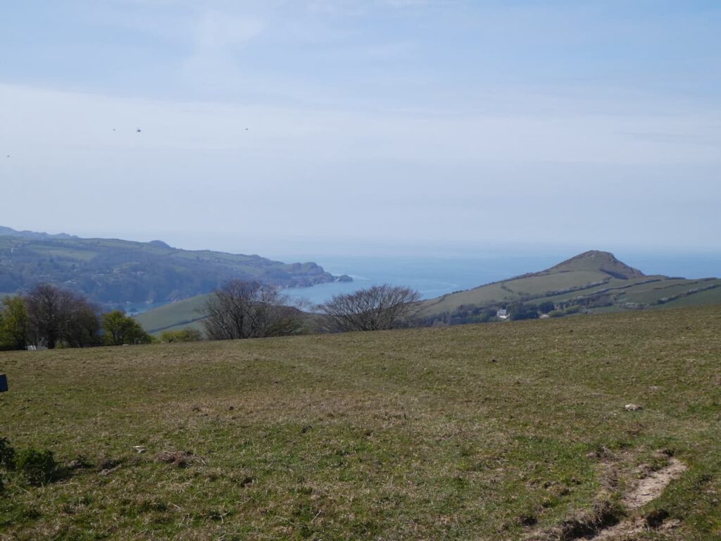
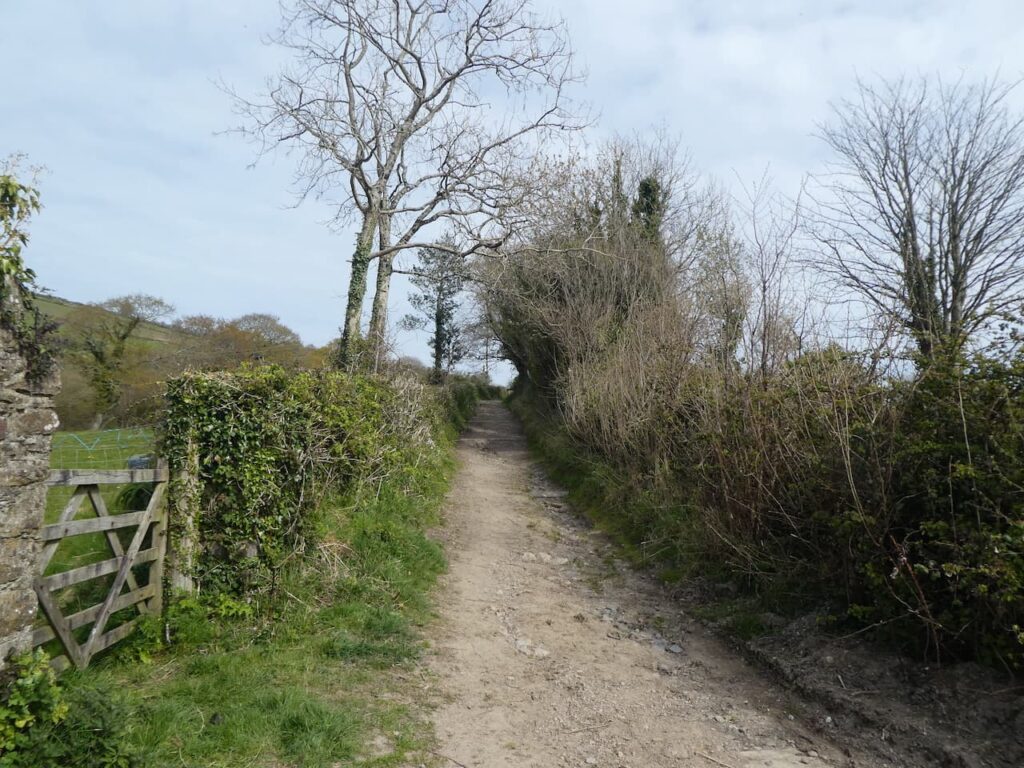
The track joins a minor road where we turn right and continue downhill. When the road bends sharp to the left we continue straight on along a track which descends steadily into the village.
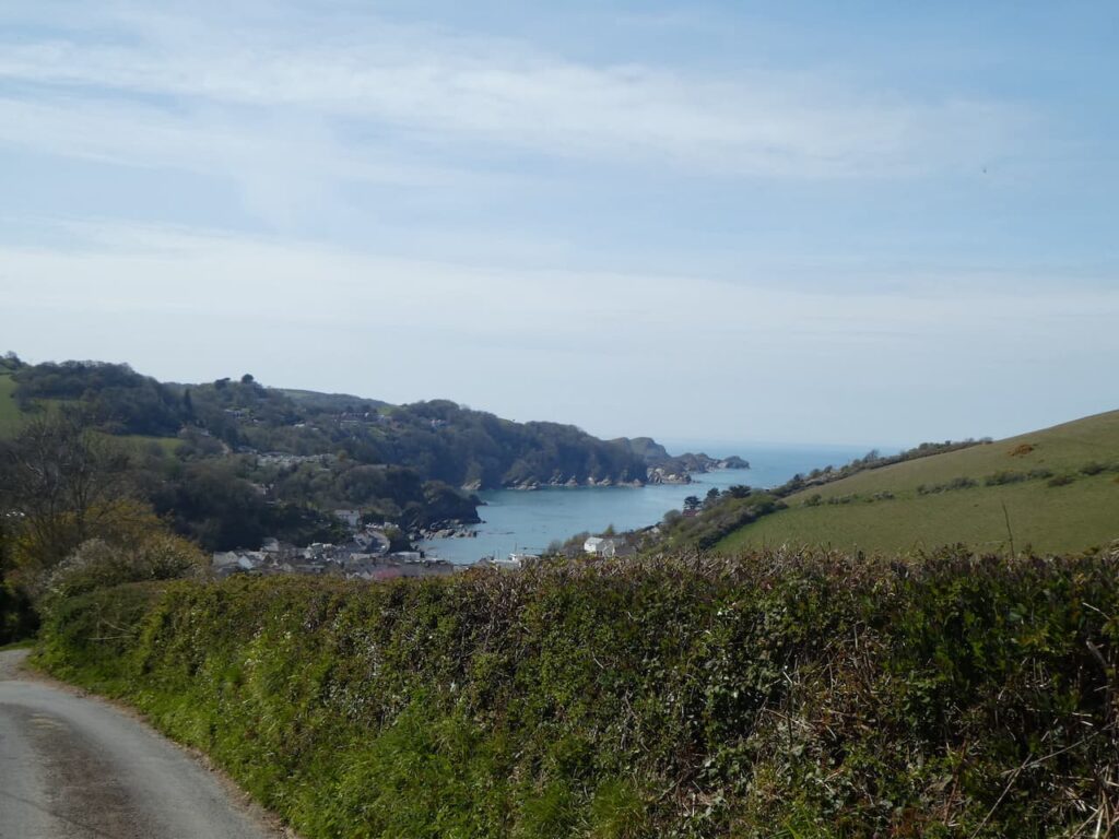
At a road in the village there are a number of options to reach the sea front. We go to the right to take a narrow path that leads across a stream. We then turn left to walk by a school and continue on to reach a car park overlooking the bay.
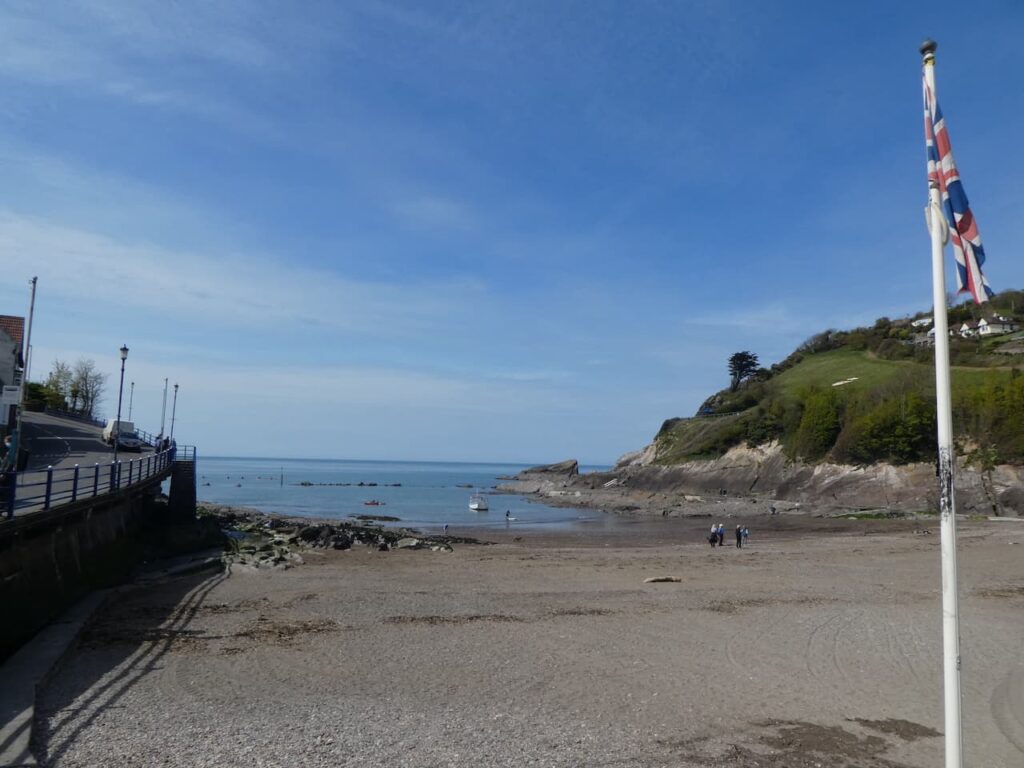
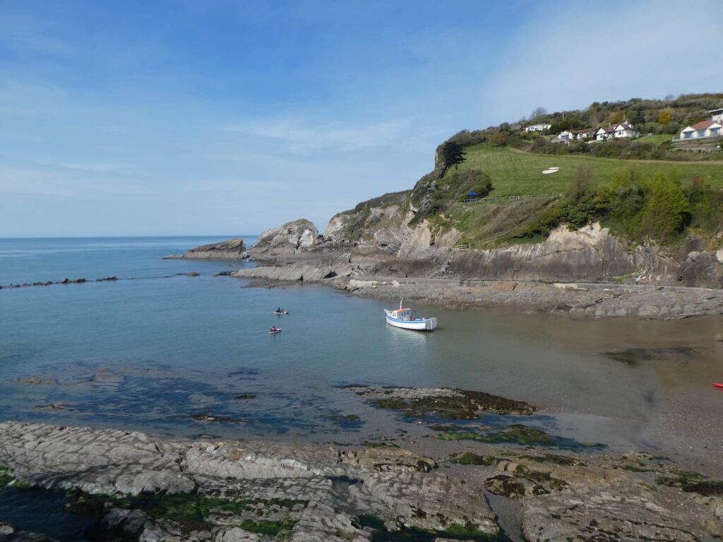
From the bay we join the A339 and walk south out of the village. There are cracking views over the bay which due to the pandemic seems a lot quieter than the last time we were here a couple of years ago.
We stay with the pavement until we reach a footpath on the left just before a bridge. Here we go left and follow the path downhill which soon joins a track initially heading south and then sweeping to the left to head east.
The path heads steadily uphill and then goes through gates to cross fields.
We reach a lane and descend towards the church of St Peter ad Vincula which means St Peter in Chains. Parts of the church date to the 13th century with most of it from the 15th and early 16th century. Restoration was undertaken in 1858 and 1881.

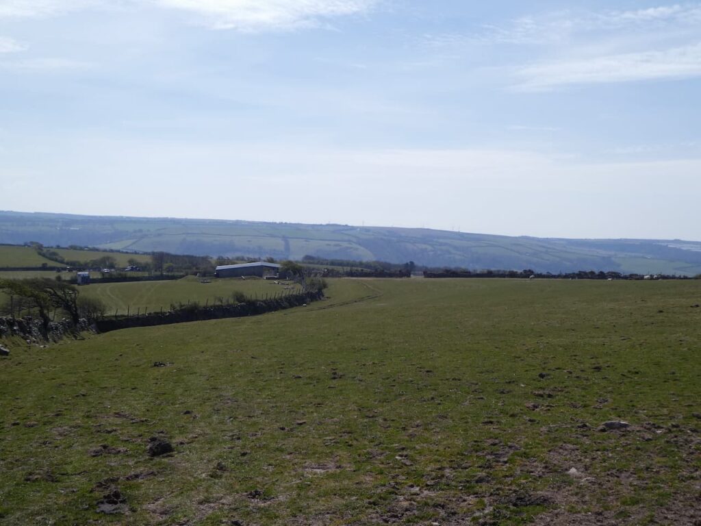
We are a fair distance from the sea, but still in Combe Martin. The village is strung out alongside a road and because of the local geography the housing has stretched out within the valley. We cross the A339 and join Corner Lane and continue on this as it becomes a concrete track going uphill. At a junction of tracks we go right and head east still going uphill towards Silver Mines Farm.
As we continue up there are some cracking views back across the village and out to sea.
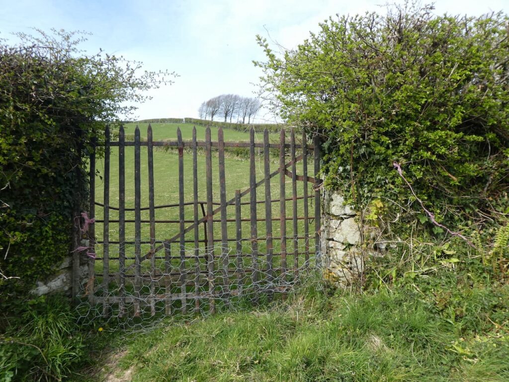
Besides the path are some interesting metal gates. They are definitely not the usual farm gates and it is unclear why they are built in this way.
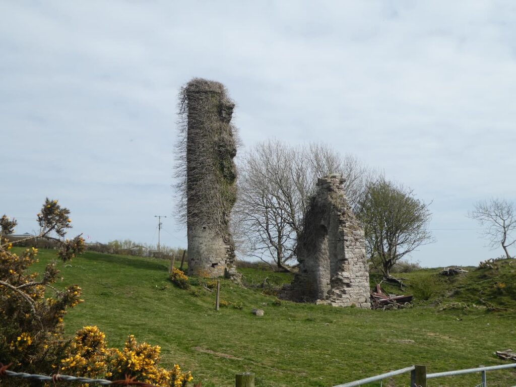
We pass Silver Mines Farm and then reach the disused Silver Mine on Knapp Down. This is one of the many silver mines in and around Combe Martin. The only aspect of this mine now visible is part of the engine house and chimney. It was built around 1859 as part of the workings to extract the lead silver.
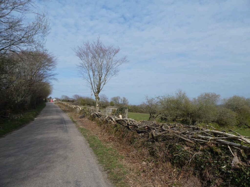
On reaching a junction of tracks we turn left and walk a few hundred yards to a junction with a minor road where we turn right and walk along Vellacot Lane towards Stoney Corner. The hedge on one side of the road has recently been laid and looks impressive. Earlier in the year I read a very interesting book “The Hedgerow” by John Wright in which hedges like this were mentioned.
At Stoney Corner we cross and take the lane signposted to Trentishoe and Hunters Inn. This road soon meets a junction. It had been my original intention to take a right here and go along Verwell Lane but this would add another three or four miles and a couple more steep ascents. However, after months of walking in Wiltshire we decide adding more ascent to our walks is not required today. So we take the left and follow the lane back to our starting point in the quarry car park.
Our walk has covered 8.5 miles and the Outdoor Active tracking app shows we have done 3 miles uphill walking with 1,798 feet of ascent. A good afternoons walking.
To follow this walk you will need Ordnance Survey Explorer Map OL9 Exmoor
You can view this 8.5 mile walk and download the GPX File on OS Maps (OS Maps subscription required)
20th April 2021
© Two Dogs and an Awning (2021)
All information on this site is provided free of charge and in good faith and no liability is accepted in respect of damage, loss or injury which might result from it. To the best of my knowledge the routes are entirely on public rights of way or within areas that are open for public access.
Walking can be hazardous and is done entirely at your own risk. It is your responsibility to check your route and navigate using a map and compass.