After almost four weeks at home I am away again in the caravan, this time it is for my annual fortnight trip to Cholsey Grange Farm CL. Lynnie is staying at home for the first week so Crosby and I will be on our own. The injury to my ankle is gradually improving and in the last week at home I managed a sixteen and fourteen mile walk in my walking boots so I am hoping I will be fully fit for our upcoming trip to the Yorkshire Dales.
The beauty of returning to the Chilterns is there are some good hills to test my ankle and build up some stamina in my legs. I intend walking the Yorkshire Three Peaks towards the end of September so I definitely need to build up the muscles following on from over two months of recuperation.
After pitching up yesterday I went for a short walk in the woods below the site but today I plan to get out for a couple of hours. There are many potential routes from the site but the one I choose will take me into Hanger Wood, this is a walk I have done a couple of times previously but I am particularly interested to see if the Dew Pond in the woods has any water in it after such a prolonged dry spell.
I leave the caravan site by going through the gate at the far end and turning left onto the footpath to head downhill into the woods.
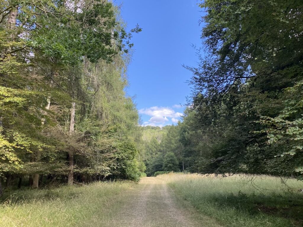
At a junction of paths I turn right to follow the clear waymarked route through Twigside Bottom.
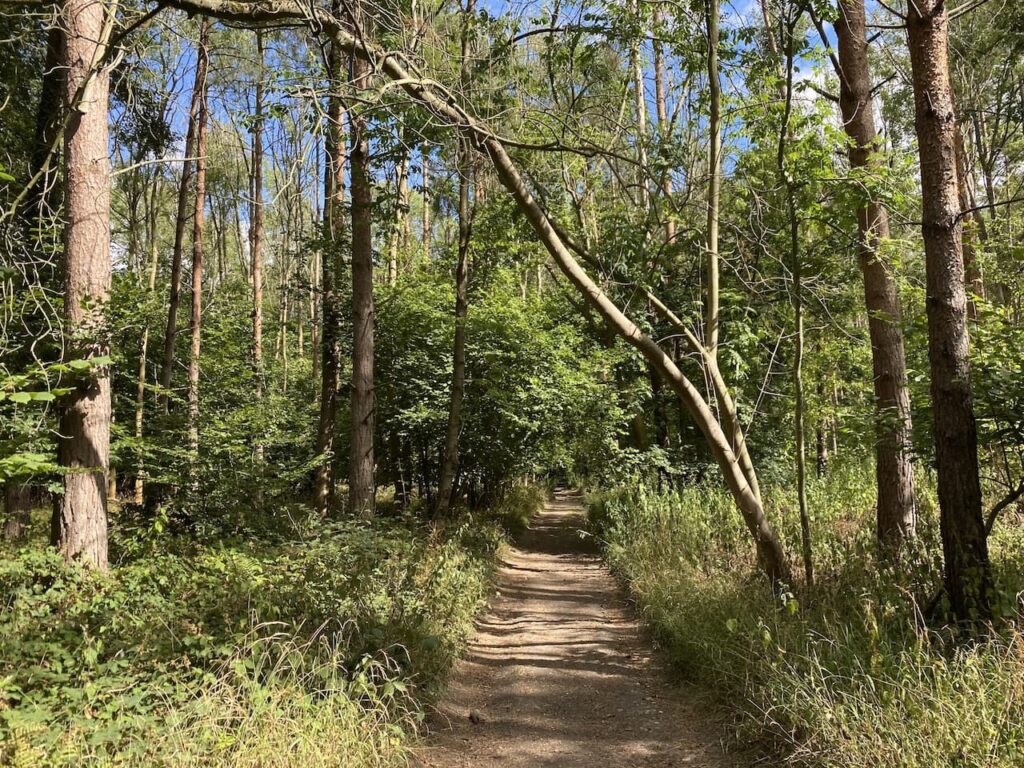
I keep with the path through the bottom of the valley ignoring footpaths that head to the left and right. It is a cracking afternoon, sunny but not too hot. I am not looking forward to next week when the temperatures look set to soar again.
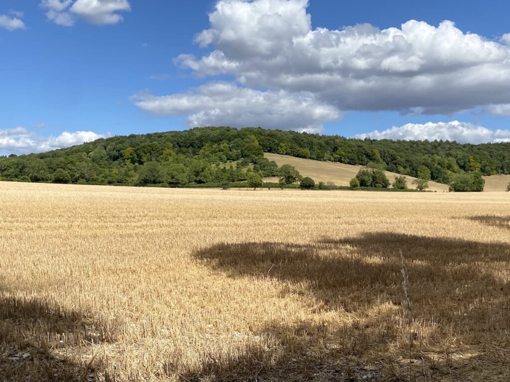
I stay on the path until I reach Chequers Lane, a minor road at Gravesend, here I turn right and then within a short distance take a footpath on the left which heads uphill towards Hanger Wood.
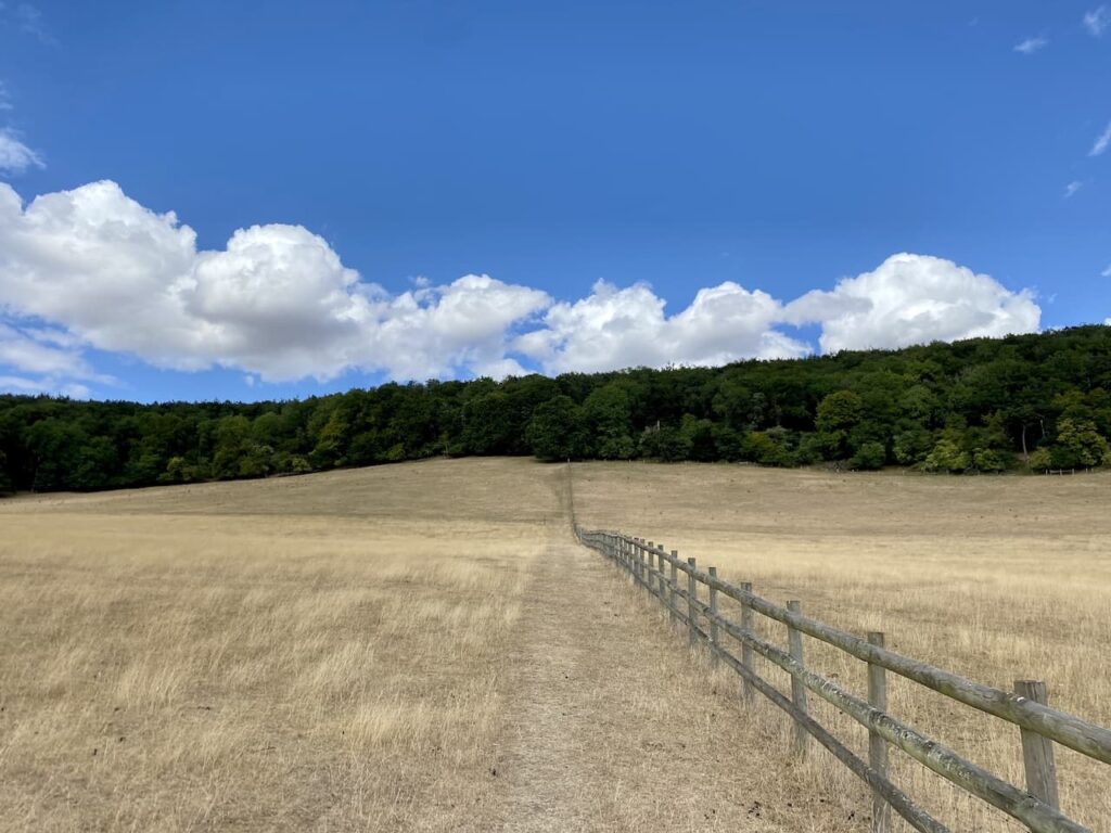
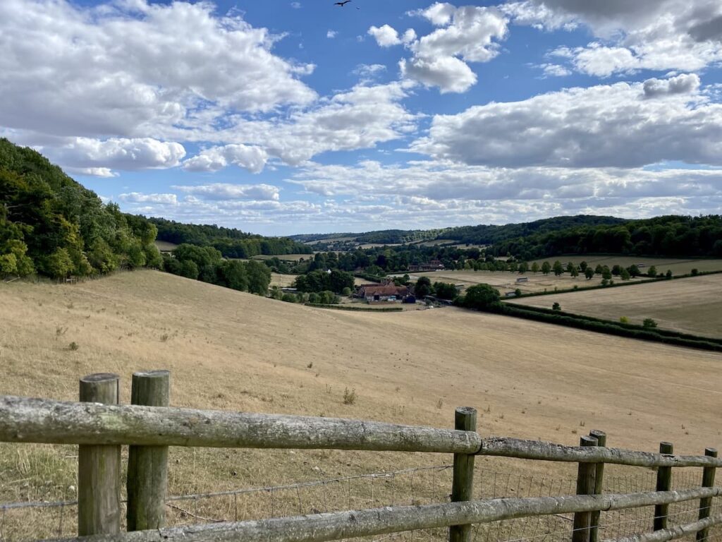
This ascent is a good test for my legs and I maintain a good pace as I head up the hill. As I near the woods there are fine views down the valley over Fingest.
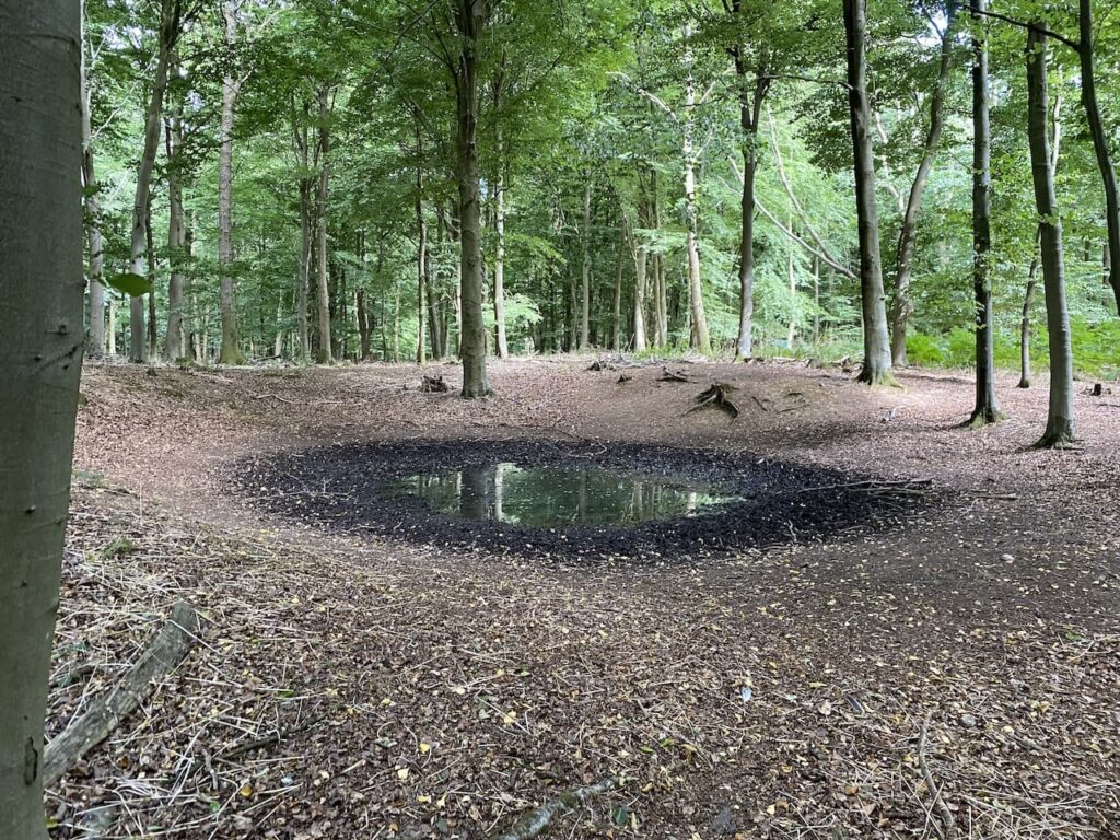
After going through a gate the path continues to ascend into the woods. Soon on my right is the Dew Pond that would have been dug into this woodland to provide water for livestock. A dew pond has no water running into it, so only gathers rainfall. After such a lengthy dry spell I fully expected to see it dry, however, remarkably there is water in it and evidence that it is being used by animals as a source of refreshment.
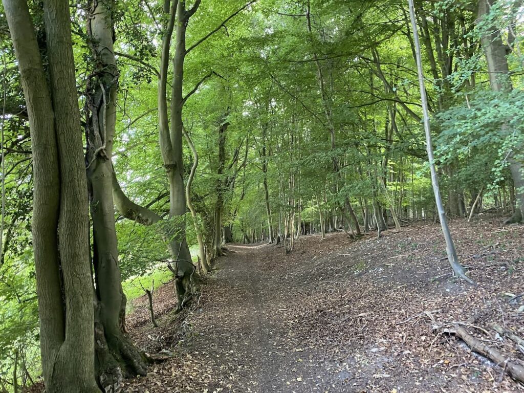
On reaching a junction of paths I turn left and then at the next junction almost double back on myself following a path to the right. This footpath follows the edge of the woodland.
Staying on the path I am soon above Hanger Farm, here the path sweeps to the right and descends steadily towards Fingest. I ignore a footpath on my left leading down a track and go through a gate to enter the edge of pastureland.
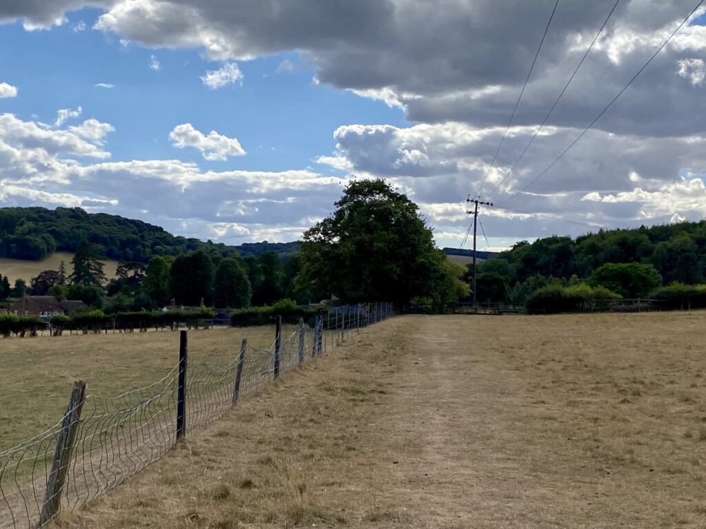
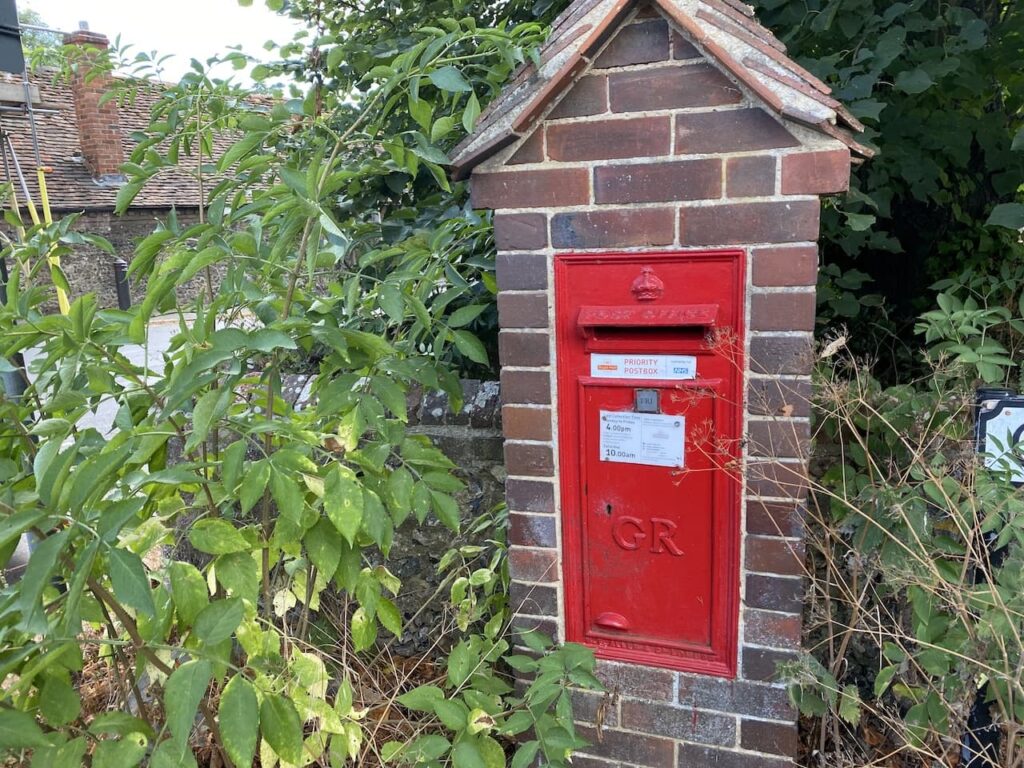
This leads to a fenced and then hedged path that emerges back onto Chequers Lane near to Fingest church. I turn left towards The Chequers Inn, in the church wall is a post box dating from the reign of King George V.
At the junction I meet two women who are walking along each carrying a pint of beer. I comment on how it is a novel way of keeping hydrated when out walking and they explain they are on a walking pub crawl. They started at the Stag and Huntsman in Hambledon, then visited the Frog at Skirmett and now in Fingest they are going to pop into the Chequers for another pint. Just to ensure they keep topped up they are leaving each pub with a pint to drink along the trail. They are American and are very enthusiastic about the countryside and the quaint pubs. Apparently they are going to end their walk at the Bull & Butcher in Turville and then get a cab back to Henley-on-Thames for a night out!
I enjoy a pint and like a walk, but I never mix the two. I am not sure what state these two are going to be in come 10.00 tonight.
I now turn right and head past St Bartholomew’s church. This Norman church has an unusual tower with a double gable, apparently it is the only one of its kind in the Country.

As the road sweeps to the left I take a footpath on the right leading besides a property to reach a junction of paths. Here I turn left and soon cross a minor road.
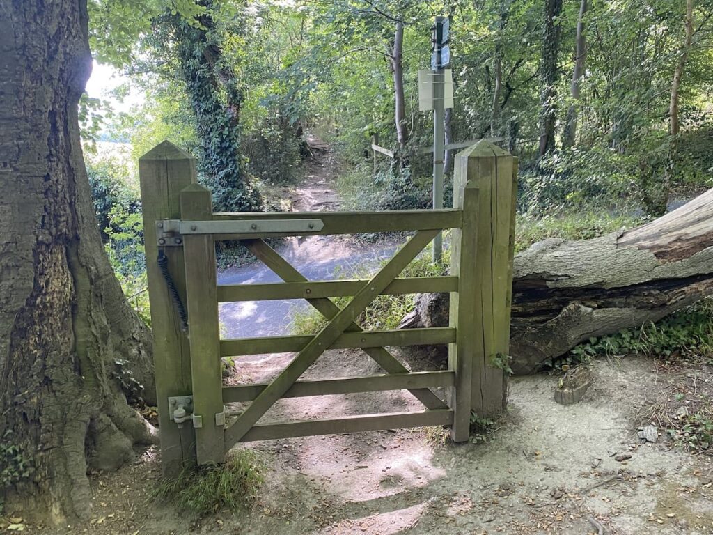
Now the path continues under Turville Hill. After going through a kissing gate I keep straight ahead across the Downs. On the hill to my right is Cobstone Mill which has featured in a number of films including Chitty-Chitty-Bang-Bang. The two Americans I met earlier were very excited at the prospect of seeing this windmill.

At a junction of paths I turn left into Turville and then turn right to walk by the church and then stay on this minor road as it heads out of the village. Shortly before reaching Turville Valley Farm I join a bridleway on the right that runs through woodland parallel to the road.

After crossing a minor road I continue through Turville Wood and when the path forks go right to head steadily uphill on a track.

This is another steady ascent and a good test of legs and lungs on a warm afternoon. The path bends to the right and continues through a fine avenue of beech trees.

Eventually as it starts to level out the path reaches a tarmac lane and I follow this back to Ibstone Common where the preparations are underway for the village fete tomorrow.

At a junction I cross the road and return to the caravan down the driveway of Cholsey Grange. It has been a cracking afternoon to be out, my walk has covered just over seven miles and my leg is showing no ill effects. So tomorrow I will venture a bit further.
You can view this 7 mile walk on OS Maps and download the GPX File Here
To follow my walk you will need Ordnance Survey Explorer Map 171 – Chiltern Hills West
5th August 2022
© Two Dogs and an Awning (2022)
All information on this site is provided free of charge and in good faith and no liability is accepted in respect of damage, loss or injury which might result from it. To the best of my knowledge the routes are entirely on public rights of way or within areas that are open for public access.
Walking can be hazardous and is done entirely at your own risk. It is your responsibility to check your route and navigate using a map and compass.
