

Despite being a regular visitor to the Yorkshire Dales I have not done a great deal of walking in the top end of Wharfedale. This is mainly because it involves a drive from wherever we are staying. However, every time I visit I am reminded what a cracking dale it is. Today we are heading to Kettlewell to walk up to Great Whernside so that I can bag another OS trig point.
We park in the Yorkshire Dales car park which is immediately on the left after crossing the River Wharfe as we enter Kettlewell from the south, OS Grid Ref: SDS967722 What3Words ///gravy.highly.negotiators. Leaving the car park we walk into Kettlewell on the B6160 and cross the bridge before turning right with the Blue Bell in front of us.
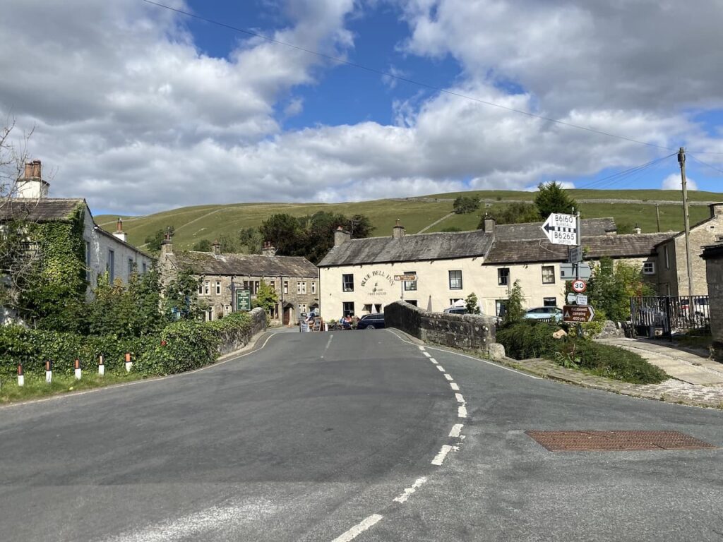
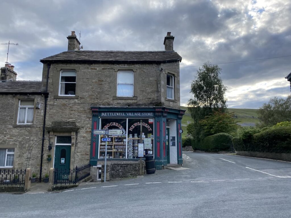
Continuing through the village along Middle Lane we pass the attractive village shop and continue straight on. At a junction with a turning on the left to Leyburn we continue straight ahead and follow the lane to cross a bridge and then turn left along Scabbate Gate.
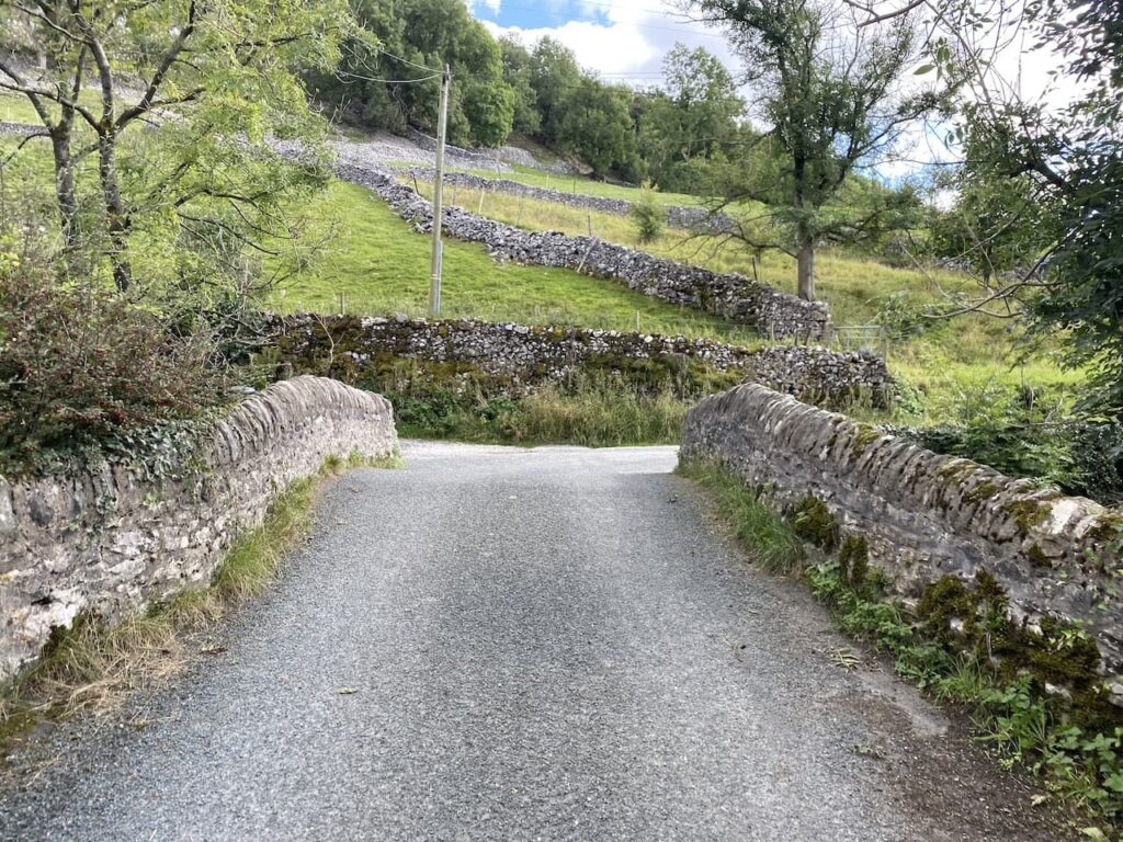
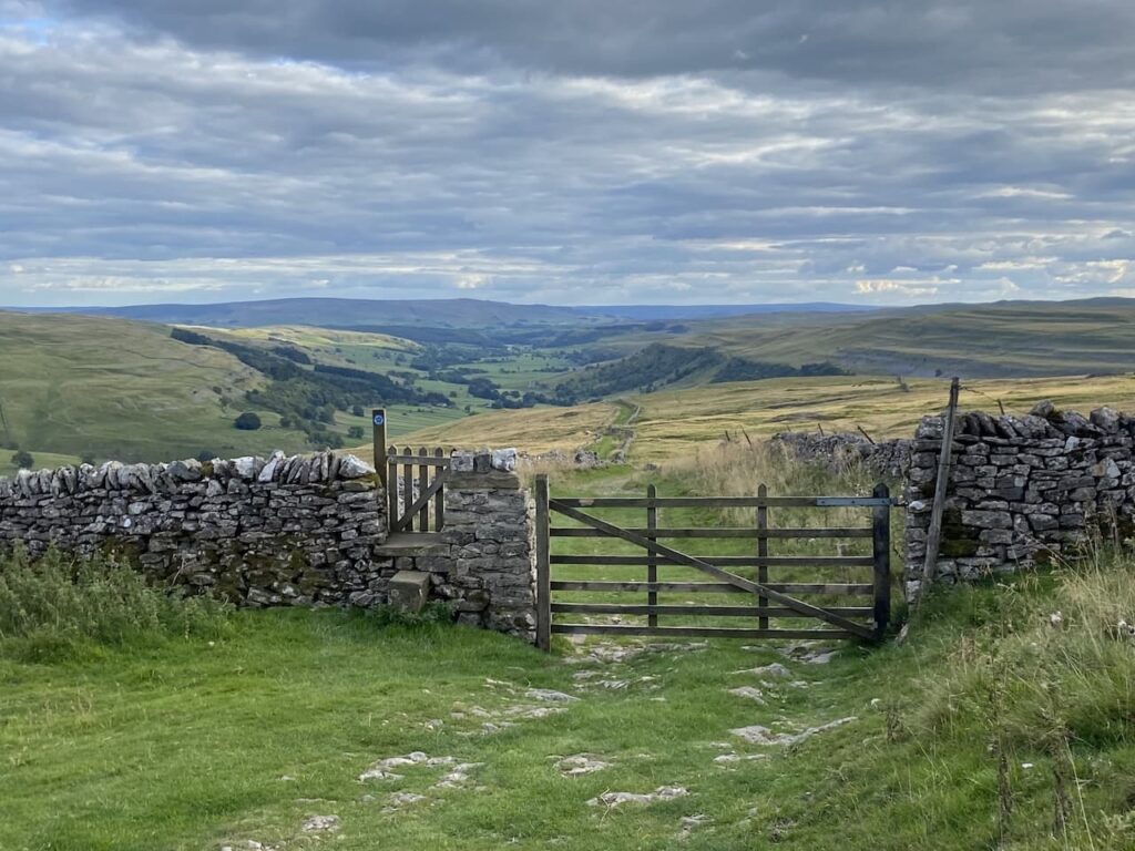
On our left there is a finger post marked towards Great Whernside via Hag Dyke. After 200 metres we cross another bridge and then immediately take a path besides Dowber Gill Beck and quickly reach another finger post on the left again pointing us towards Great Whernside via Hag Dyke, we follow the way marker into a field and head uphill.
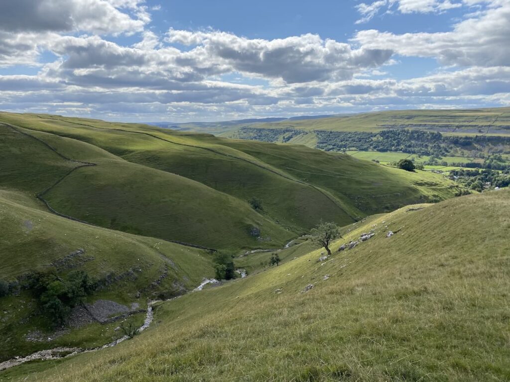
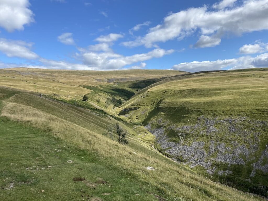
This is a long steady ascent but as we head up we get a cracking view down towards Dowber Gill Beck.
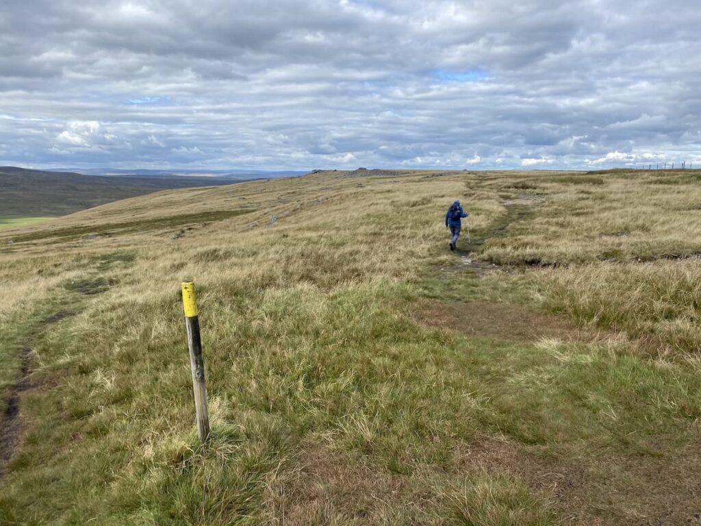
It is a stunning day and we get a clear view of Great Whernside in front of us.
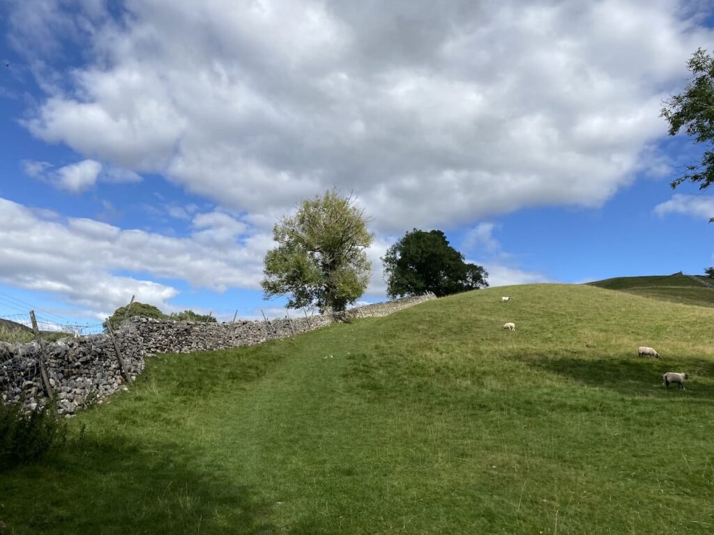
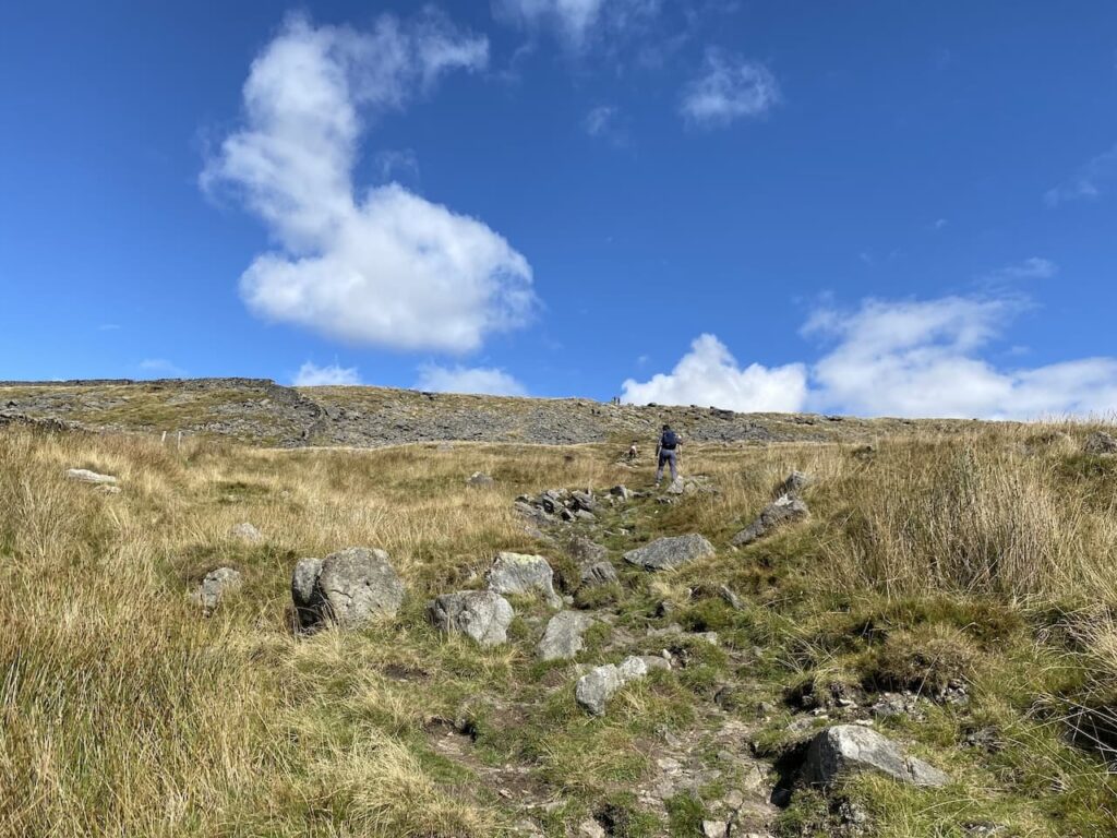
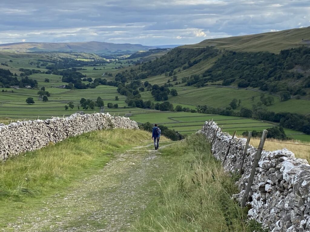
There is a clear well-worn path across the fields in front of us leading to Hag Dyke.
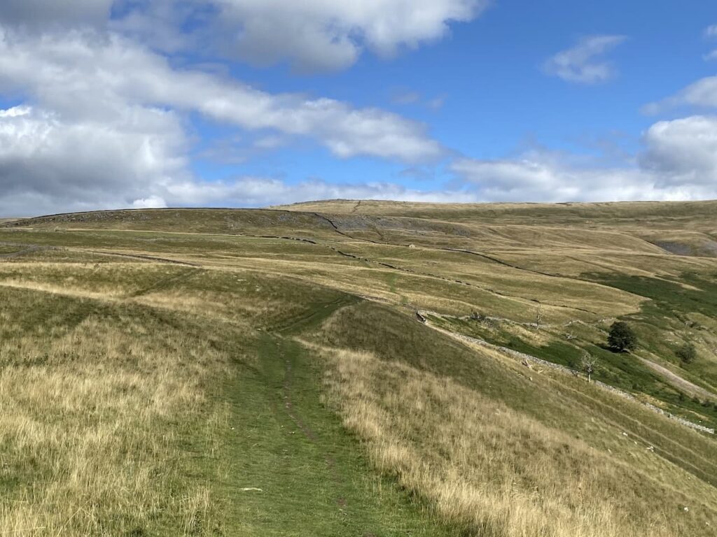
After 1.7km walking up through fields we reach the gate to Hag Dyke.
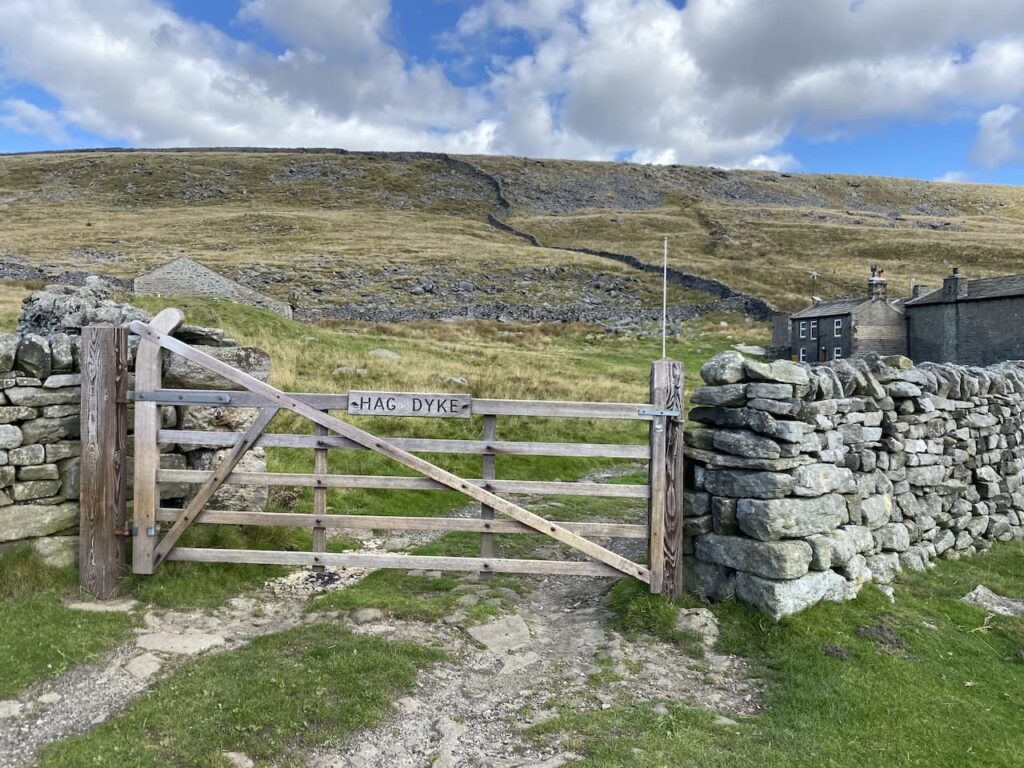
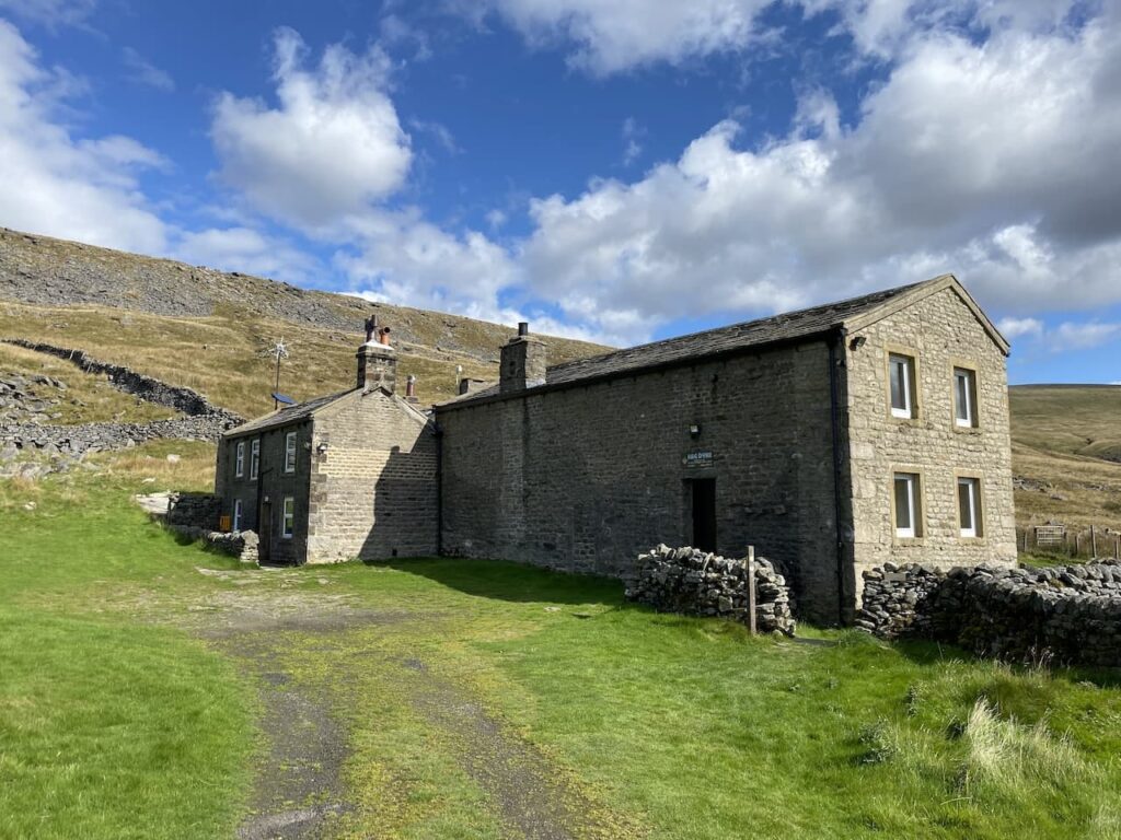
This former farmhouse can be traced back to the 1700’s. In 1947 it was in a derelict state and was bequeathed to 1st Ben Rhydding Scout Group and they converted it into accommodation for 36 people.
Also on the site is a small chapel which at 1533 feet is the highest chapel in England.
Our route follows way markers in front of the main building and then turns left to go through another gate to head uphill through a rocky outcrop.
Lynnie thinks when we get through this rocky section we will be at the top and is somewhat disappointed when she sees there is still some way to go.
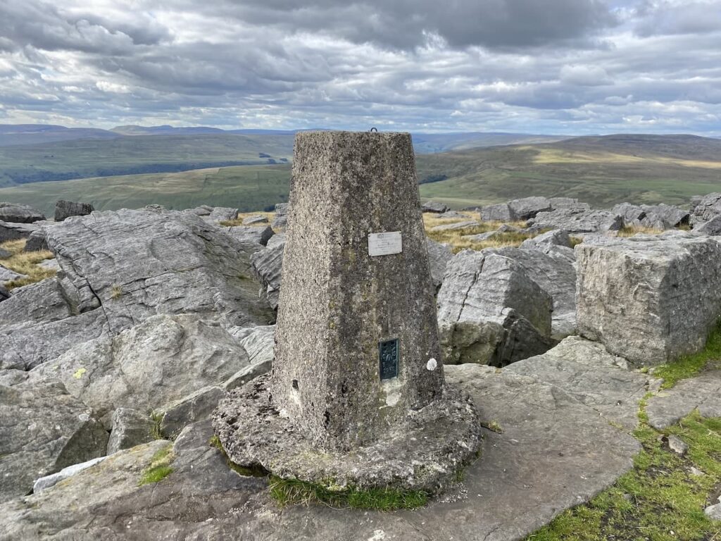
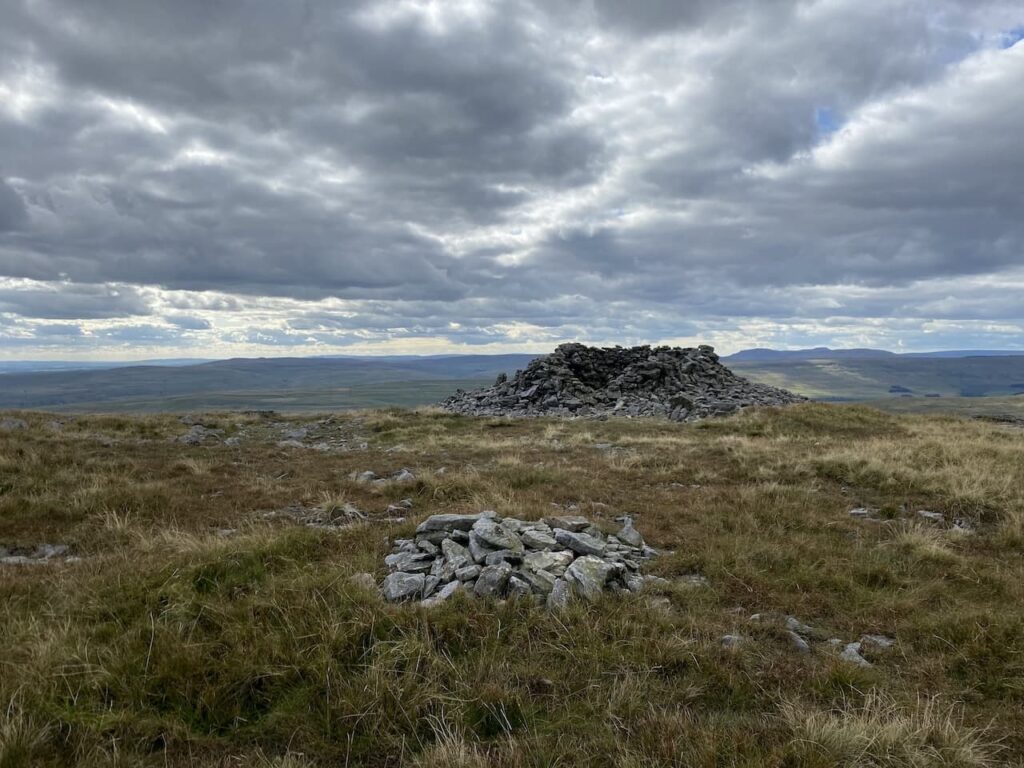
Eventually we reach the summit of Great Whernside and can see the OS trig point nestled amongst the rocks.
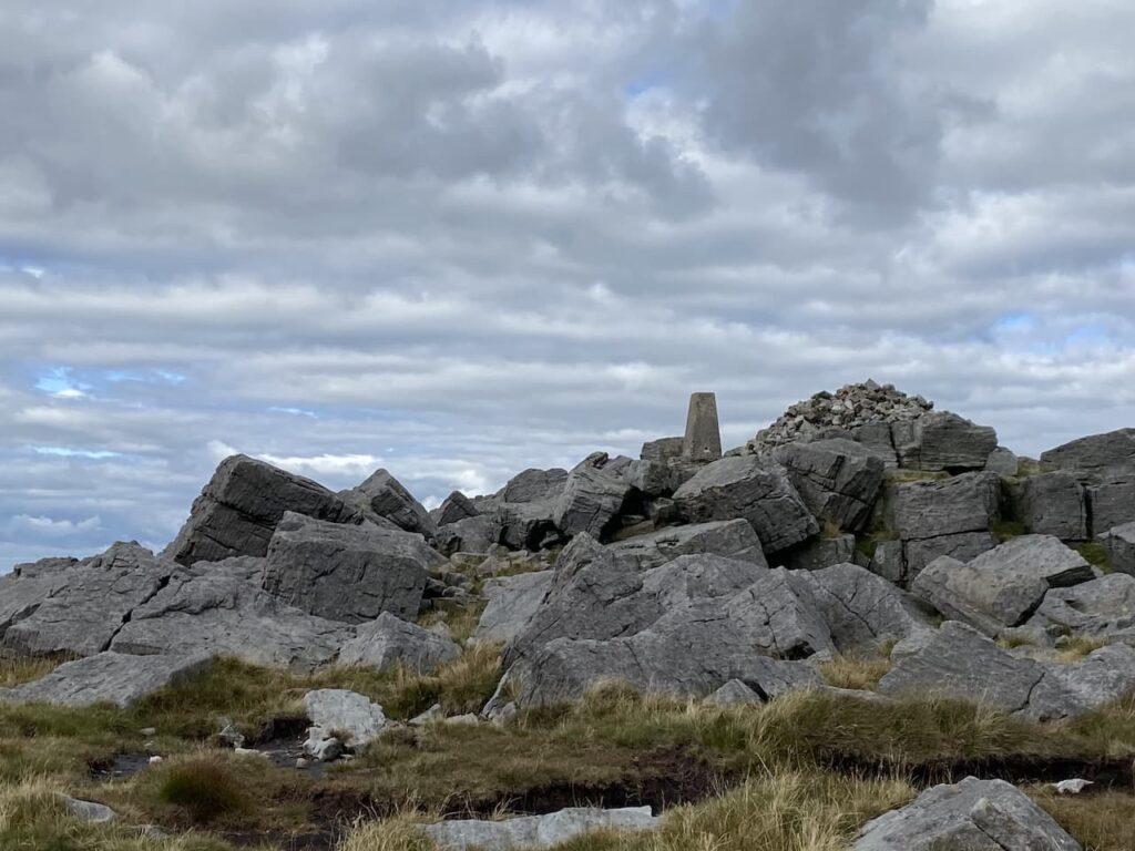
We head across to bag the trig and take in the stunning views. This is the 345th trig I have bagged.
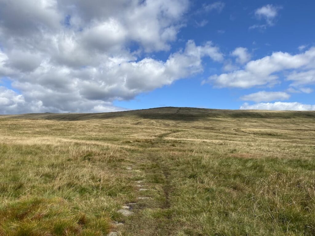
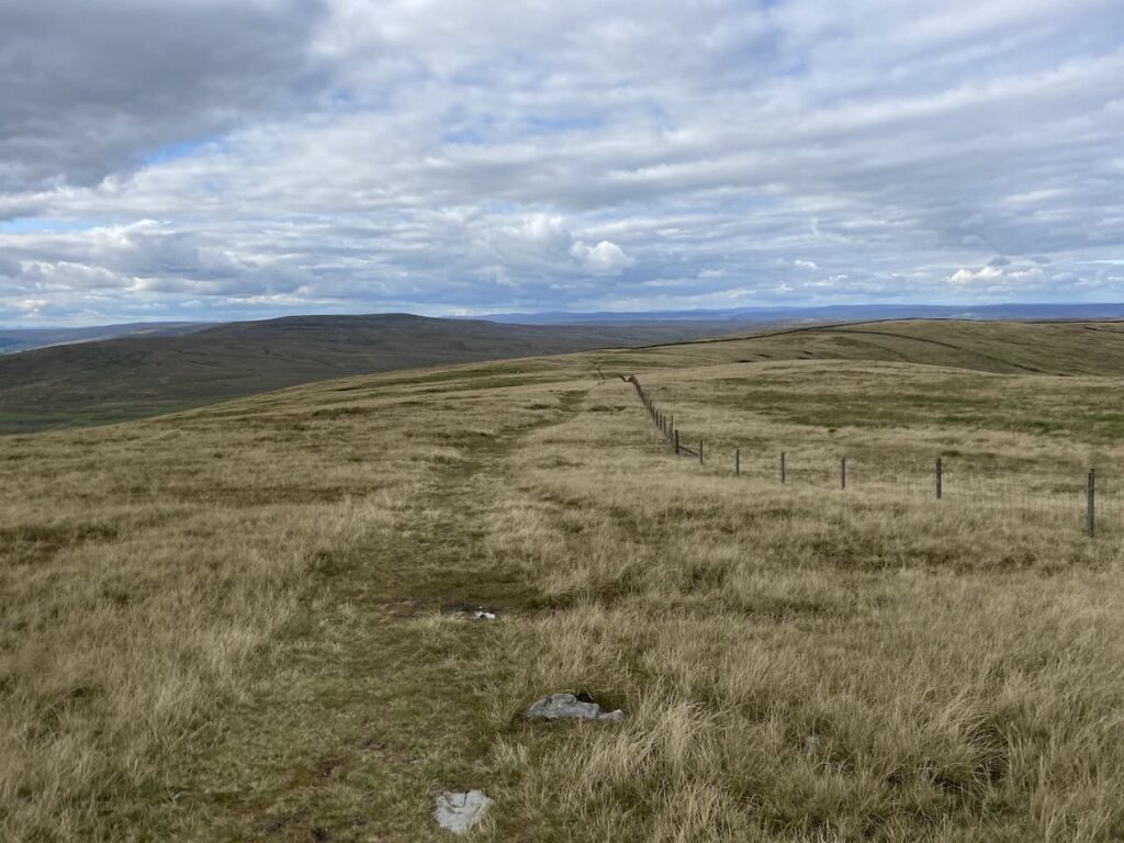
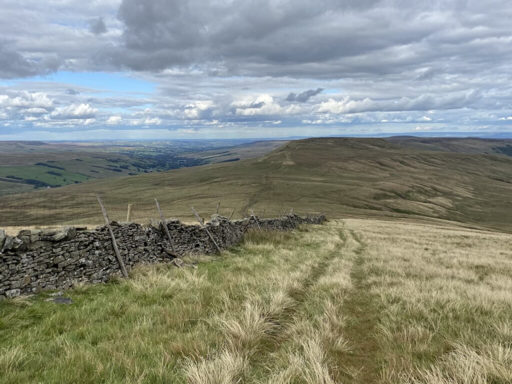
From the trig we follow a path leading north along the ridge of Great Whernside. To our right is a fence which acts as a guide for our route.
The route passes a stone shelter. It is a cracking day but there is still a chilly wind. This is a remote spot and I am sure the shelter is very welcome in the winter months.
The route starts to descend and we keep the fence line to our right. From here we can see for miles and it emphasises the remoteness of this spot.
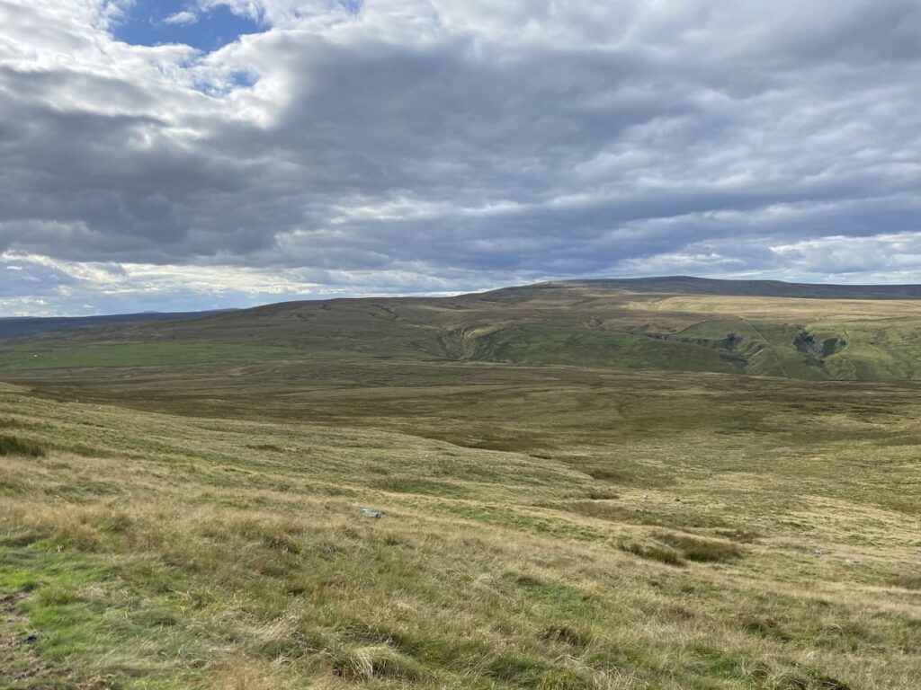
On reaching a dry stone wall at Black Dyke End we cross and continue heading north, but now the wall is on our left.
We pass through a gate in a dry stone wall in front of us and continue along with the wall on our left to pass a boundary stone which is embedded in the wall.

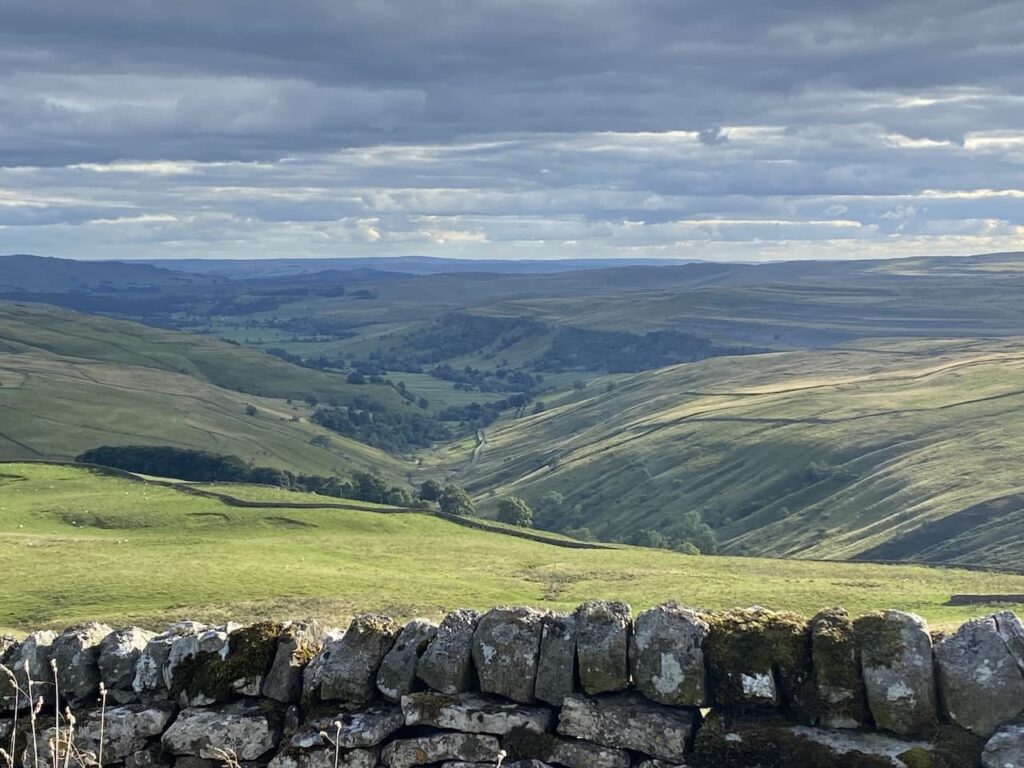
We are now at Nidd Head and we get stunning views into Nidderdale with the Angram and Scar House Reservoirs below us. A few years ago we did a cracking walk from Middlemoor which took us around Scar House Reservoir. It makes us think us we should stay near Ripon again before too long.

The path starts to descend with Little Whernside in front of us. That is one of the peaks in the Dales I have yet to visit.
At a gate in the wall we go through and then turn to the left to head diagonally downhill.

There is a clear path for us to follow, although at times the ground under foot is a bit boggy.
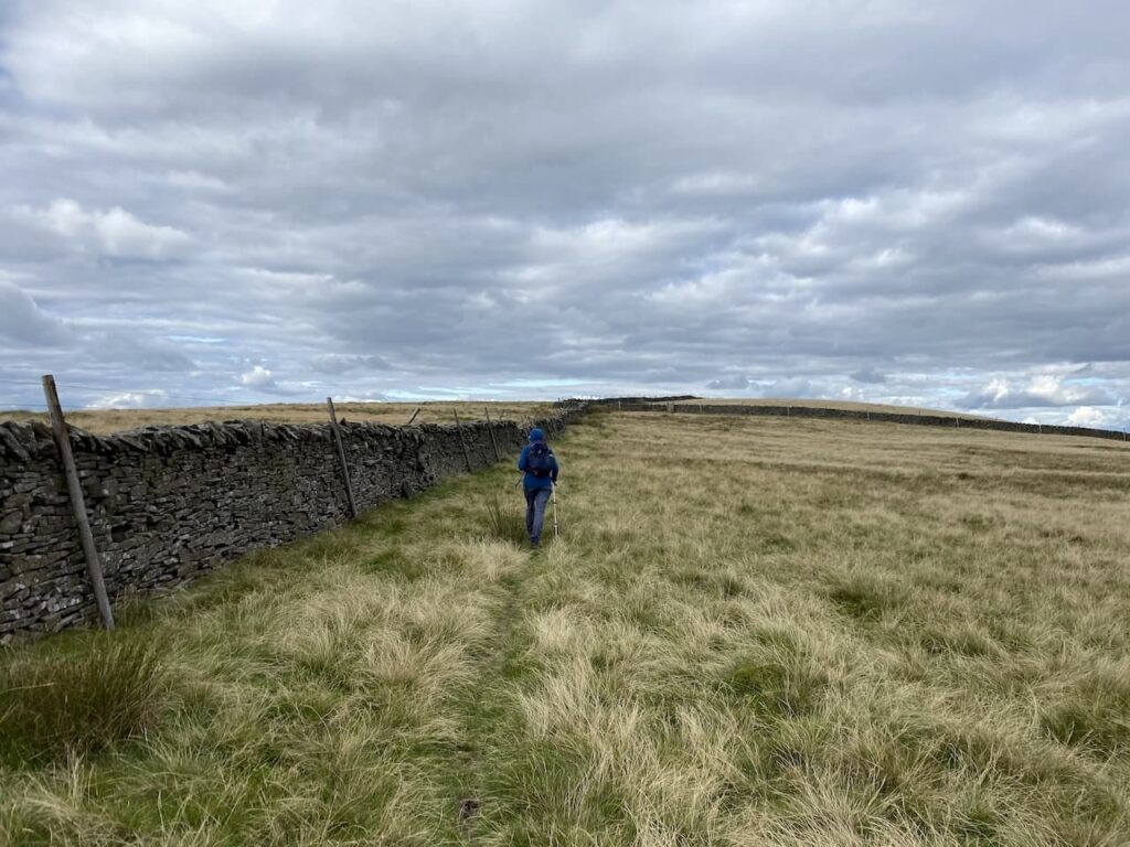
The path leads to a dry stone wall and we go through a gate with a notice warning of cows with calves and bulls in the field. We have Crosby with us so we are a bit wary of the cattle as we make our way across the access land on a way marked route with a dry stone wall to our left to reach a minor road.
After crossing the road we continue with the wall to our left over which there are some stunning views.
We go through a gate and follow a track with the wall on our left to reach another gate where we join Starbotton Road, which is in fact just a track. At a fingerpost we fork left to leave Starbotton Road and take a track waymarked to Kettlewell.
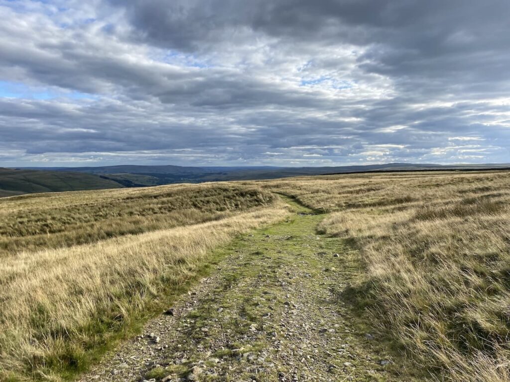
We are heading steadily downhill and after passing through a gate we descend more steeply.
After going through another gate we continue downhill on the wall-lined track, Top Mere Road.
As Kettlewell comes into view the final descent into the village becomes very steep.

As we enter the village the track joins a minor road and we continue straight on. At a junction we turn right and walk back into the village again passing the village shop.
From the shop we retrace our route back to the car park. It has been a stunning walk covering 9.5 miles. It is tempting to stop for a pint in Kettlewell, but the Settle Folk club are meeting this evening in the Golden Lion in Settle so we decide to head back and have a pint later whilst listening to some music.
To follow this walk you will need Ordnance Survey Outdoor Leisure – OL30 – Yorkshire Dales – Northern & Central
You can view this walk and download the GPX File on OS Maps (OS Maps subscription required)
15th September 2022
© Two Dogs and an Awning (2022)
All information on this site is provided free of charge and in good faith and no liability is accepted in respect of damage, loss or injury which might result from it. To the best of my knowledge the routes are entirely on public rights of way or within areas that are open for public access.
Walking can be hazardous and is done entirely at your own risk. It is your responsibility to check your route and navigate using a map and compass.