

After our cracking walk from Kettlewell to Great Whernside yesterday Lynnie is up for another trig bagging route. There are a few options but we agree that Gragareth is the peak we should tackle today. It sits to the west of Whernside and I have often looked towards it whilst on the highest peak in the Dales but have never wandered up it.
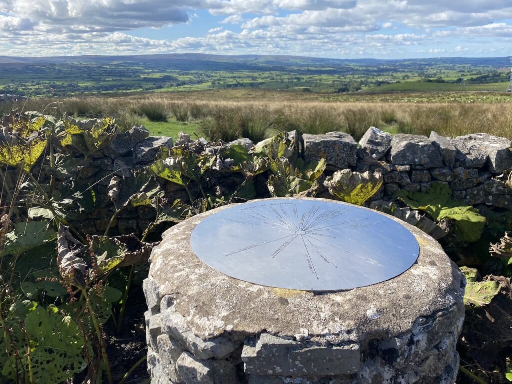
The starting point for our walk is a lay-by beside Thornton Lane, OS Grid Reference SD691756; What3Words ///chimp.craft.snowballs. Instead of going through the gate beside the lay-by we walk back down Thornton Road heading towards Thornton in Lonsdale. Fortunately Lynnie has not had sight of the map so is unaware that we are walking away from Gragareth at this point. However, there is method to my route as I want to visit the toposcope that sits at the junction with Thornton Road and Westgate Lane.
It is a cracking day and as we walk along the lane we get a stunning view of Ingleborough. It was only a few days ago that we were up there as part of the Three Peaks route.
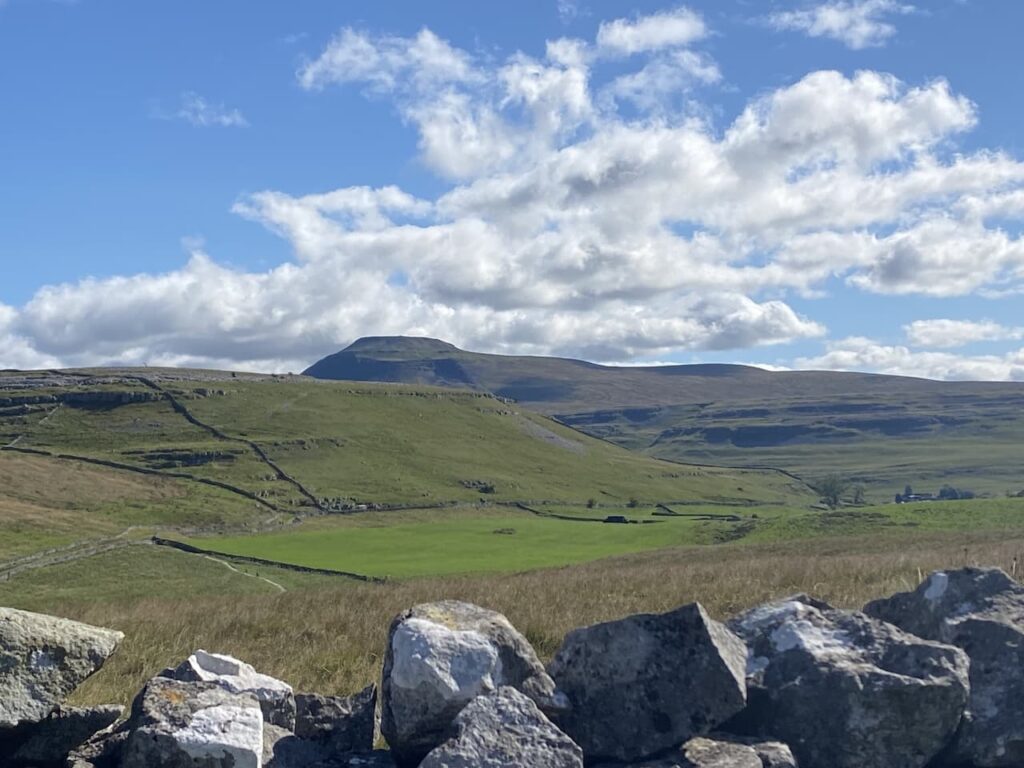
A bit further down the road we see the summit of Whernside, despite looking less intimidating it is higher than Ingleborough.
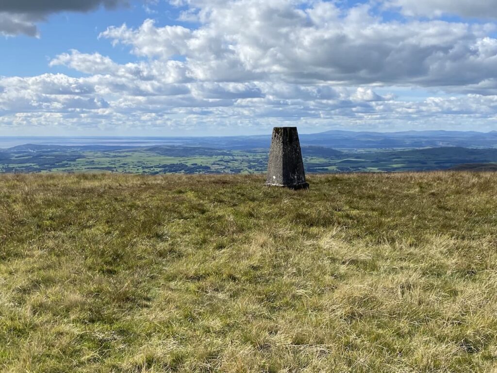
After 400 metres walking along the road we reach the toposcope. I’m always amazed by how close we are to Morecambe Bay, it is only 15 miles away and the Lakeland Fells are just 25 miles from here.
From the toposcope we take Westgate Road towards radio masts.
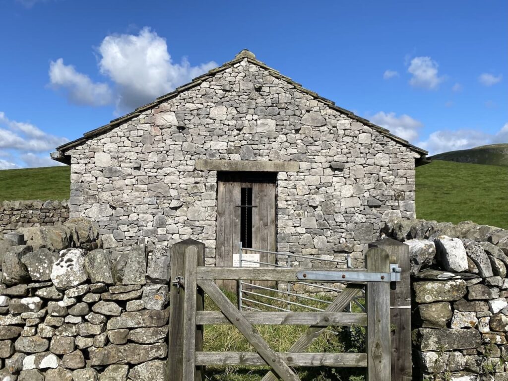
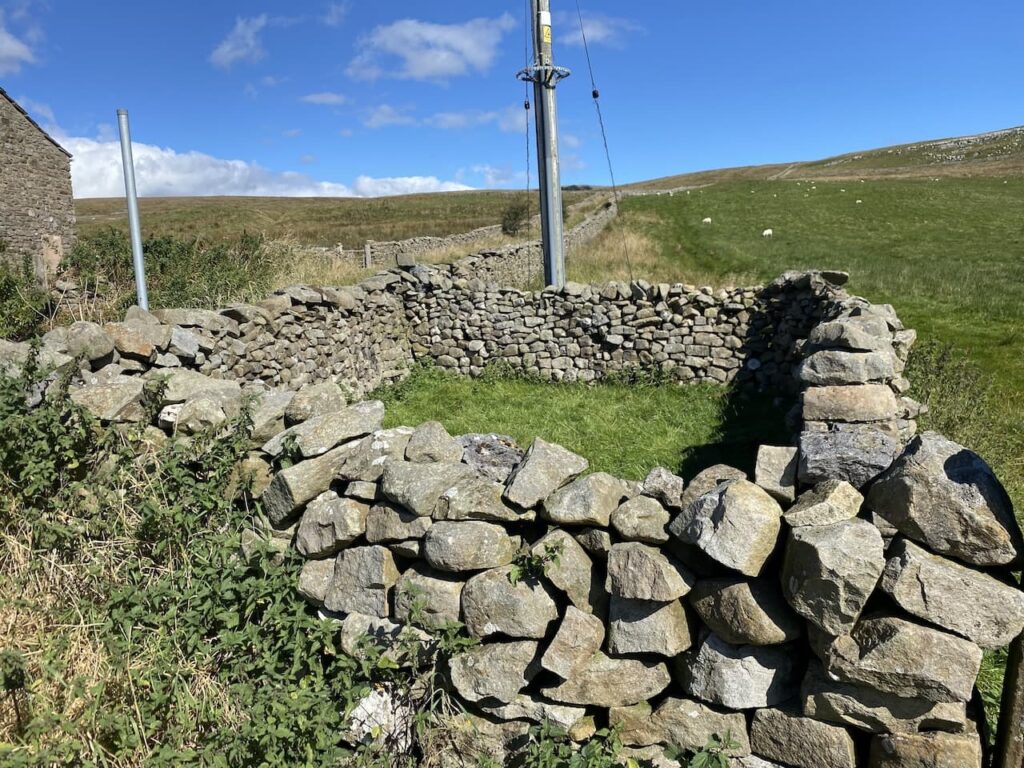
Further along the road we reach an old shepherd’s hut with a sheep fold alongside. The hut has been restored and is known as Toby’s Hut.
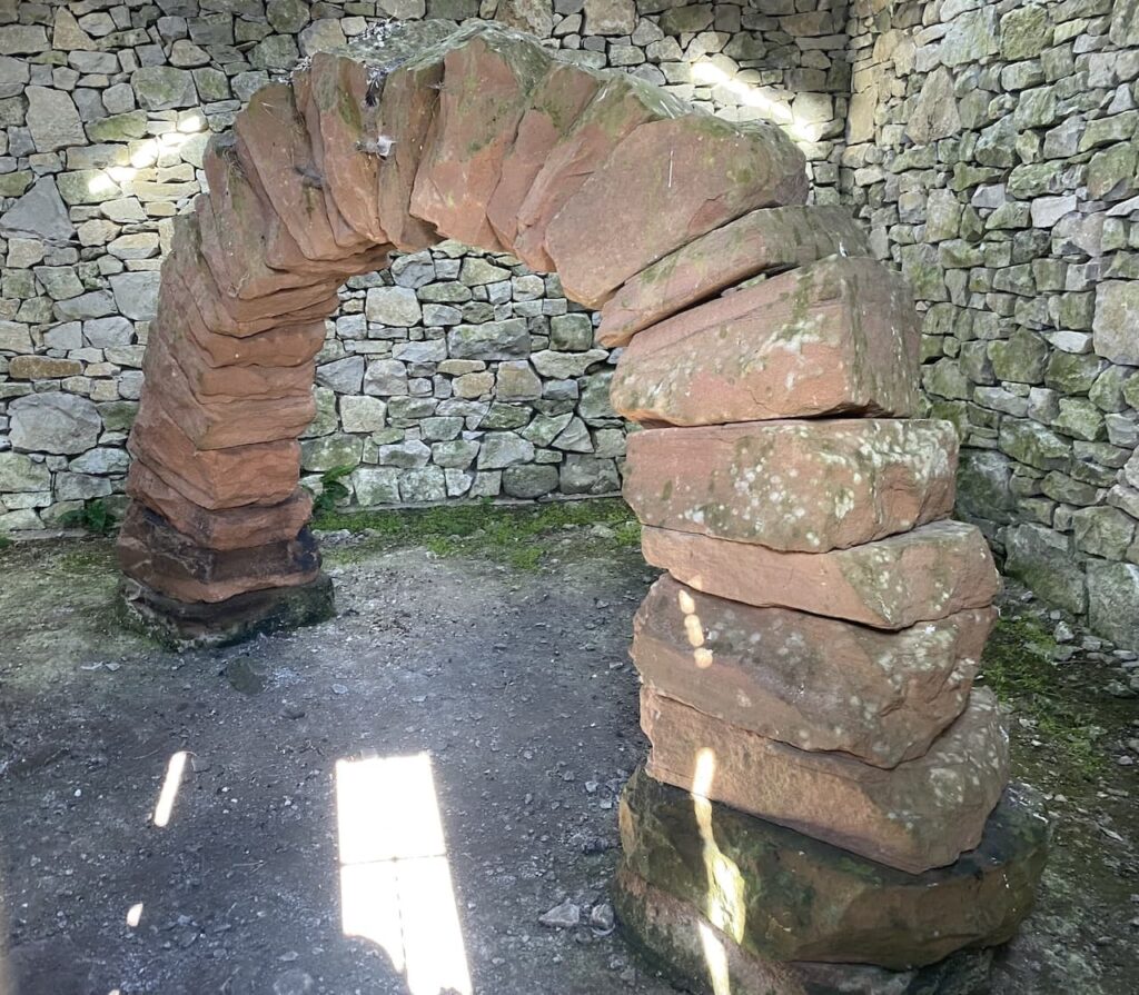
Inside is a sandstone arch which is permanently located here. This arch formed part of a Cumbrian Sheepfolds project, the artist Andy Goldsworthy erected and dismantled a red sandstone arch on 23 sheepfolds along the drove roads between Dumfriesshire and Lancashire. The arch was erected for the final time in 2002 and can now be seen through a viewing window.
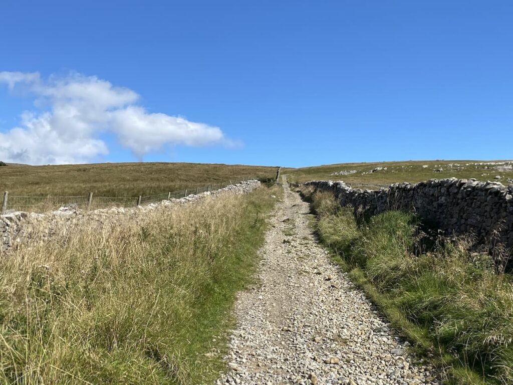
We continue along the road and at the point where it sweeps to the left we take a track on the right where a fingerpost directs us to Turbary Road.
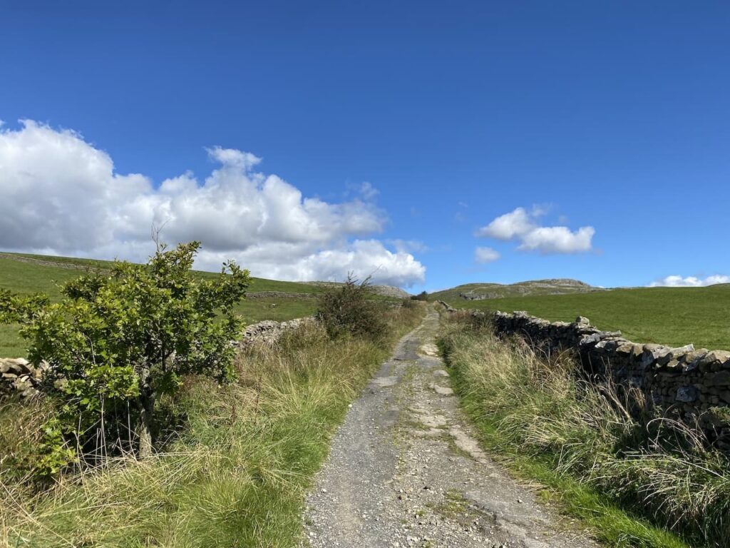
The track continues through gates into pasture fields.
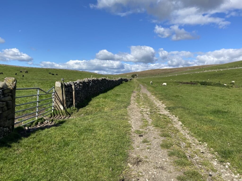
It becomes a wall-lined track again and leads to a junction with a minor road, here we turn right with a sheepfold just over the wall.
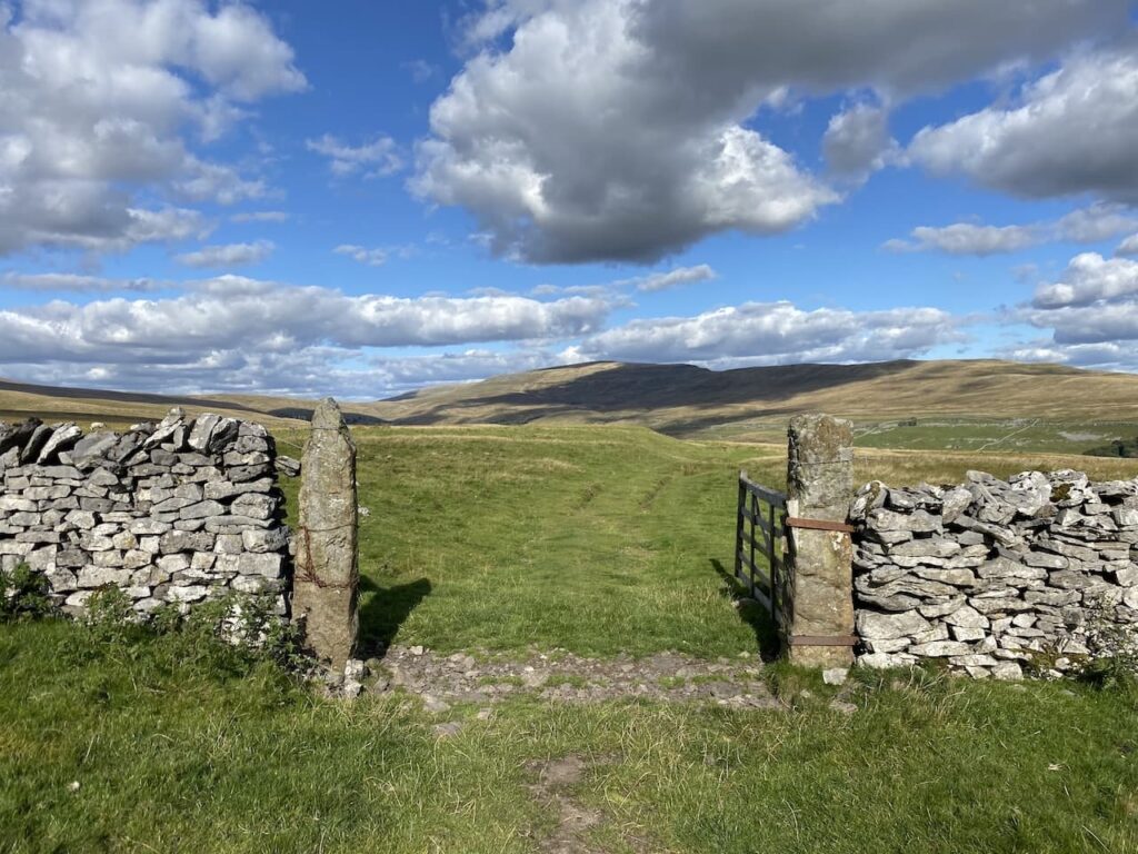
There is a finger post pointing towards Yordas and we follow this route along a wall lined track.
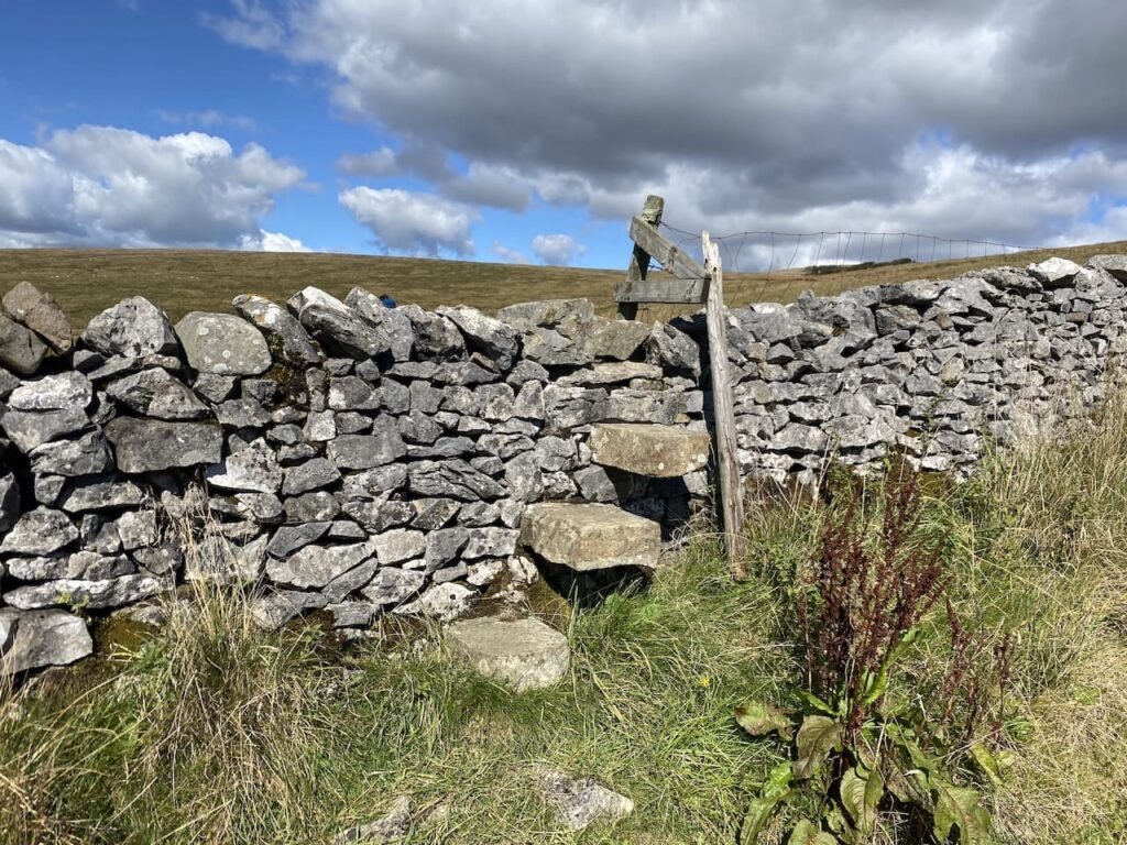
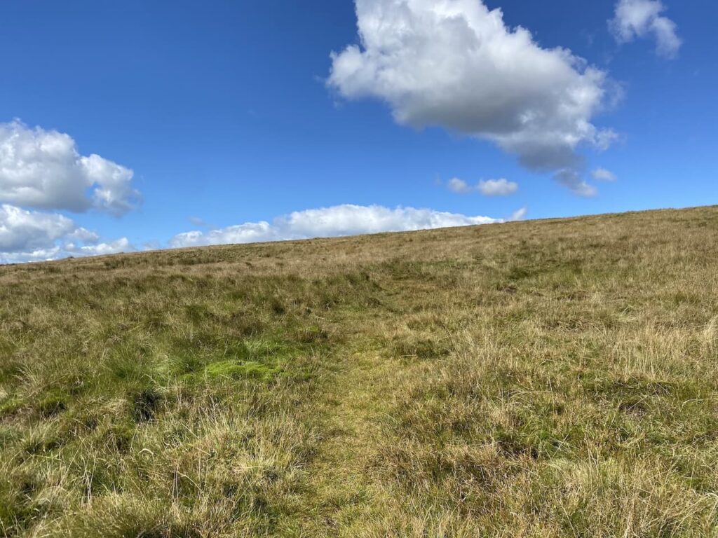
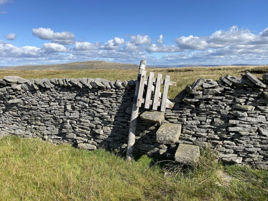
On reaching a wall stile on the left we leave the track and take the stile onto moorland.
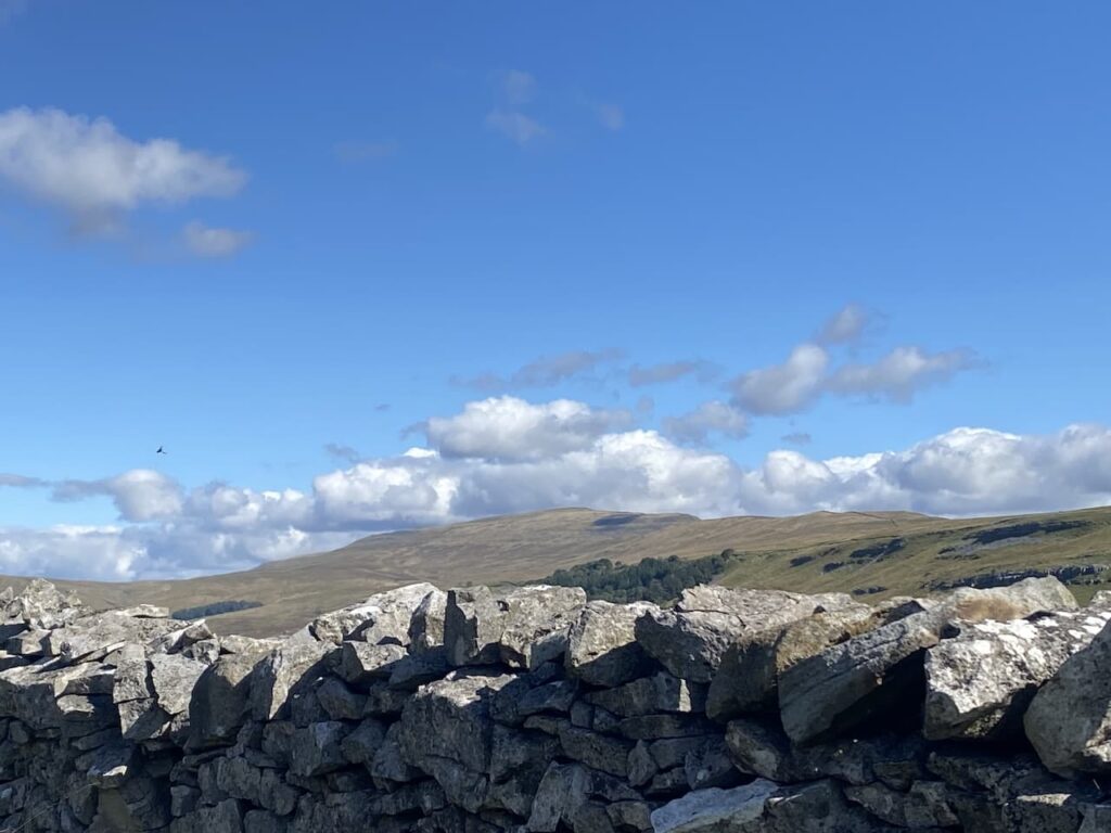
From here there are stunning views out toward Morecambe Bay.
Our route gradually ascends on a faint path in a north-westerly direction towards a dry stone wall.
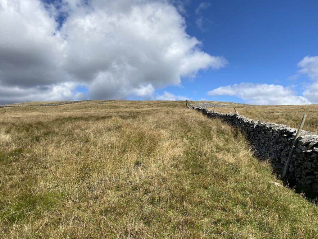
On reaching the wall we cross and then turn right and continue uphill keeping the wall on our right.
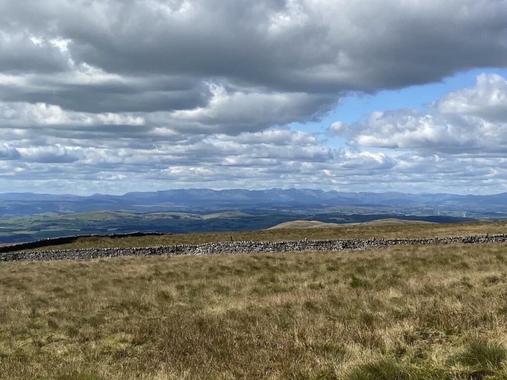
In the distance on our left we can see the Lakeland Fells.
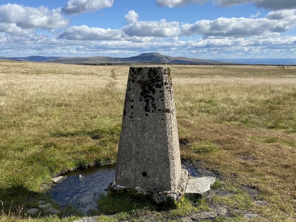
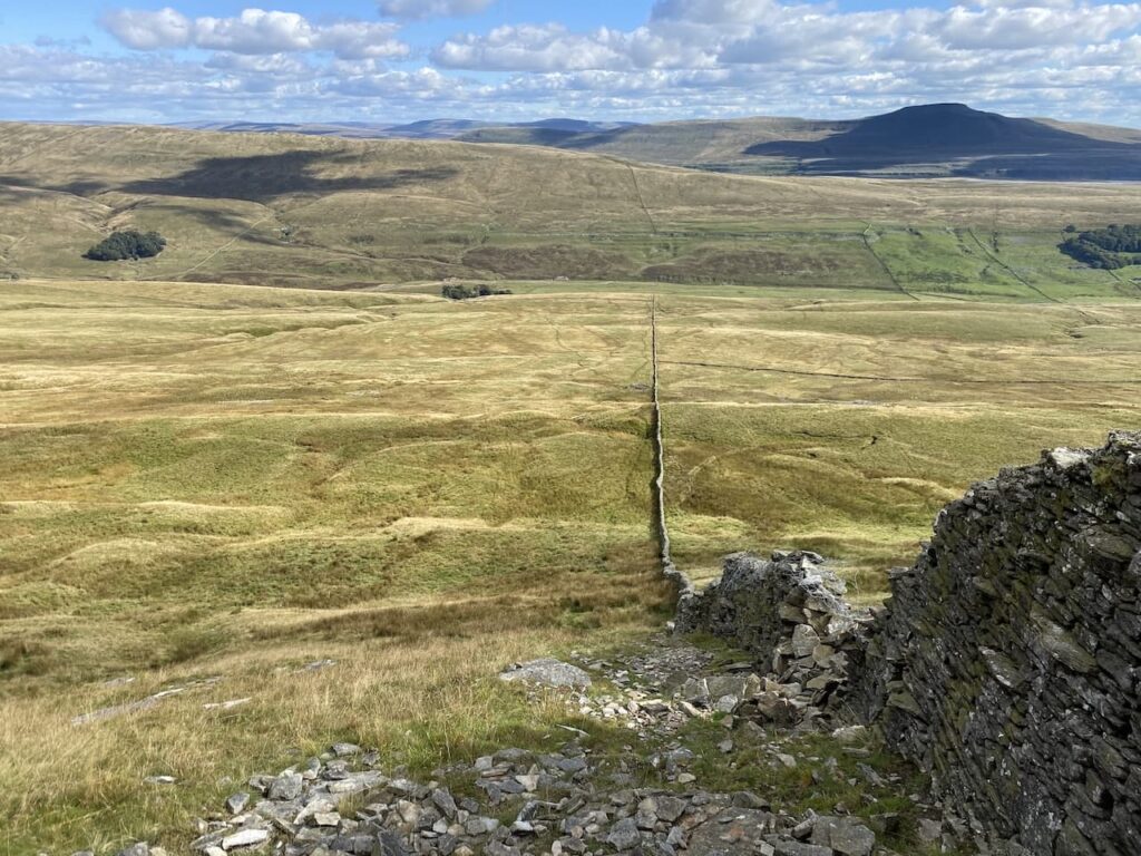
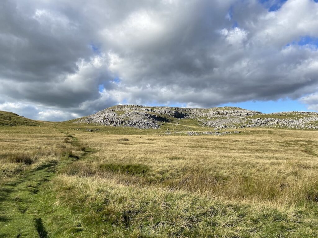
Keeping the wall to our right the route is easy to follow, though occasionally boggy we find away around without difficulty. After passing through a drystone wall we veer away from the wall on our right to head to the Gragareth OS Trig Point.
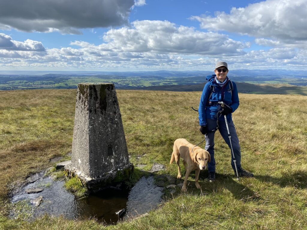
This is the 346th trig I have bagged, and benefits from some of the best views I’ve encountered whilst trig bagging. We are fortunate to have chosen such a stunning day to visit this spot. I imagine on a wet, windy day this would be a bleak spot.
We leave the trig in an easterly direction following a faint path heading back towards the dry stone wall. In the distance we can see Ingleborough.
It is clear that the summit of this fell has the potential to be very boggy. The conditions underfoot are not too bad today but we still ensure we follow well worn routes as we head to a junction of drystone walls where we go through and then turn immediatly right to cross another wall.
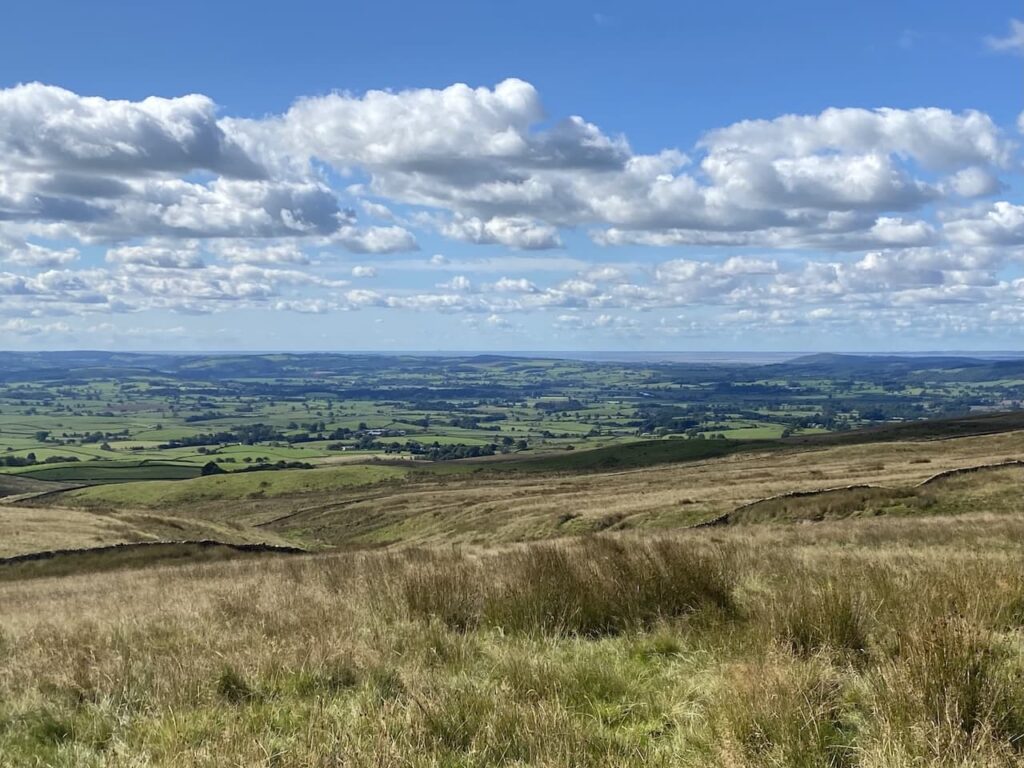
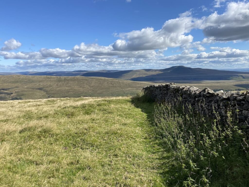
Initially we descend gradually with stunning views in front of us.
It then becomes a very steep descent and we pick our way carefully down through some rocks.
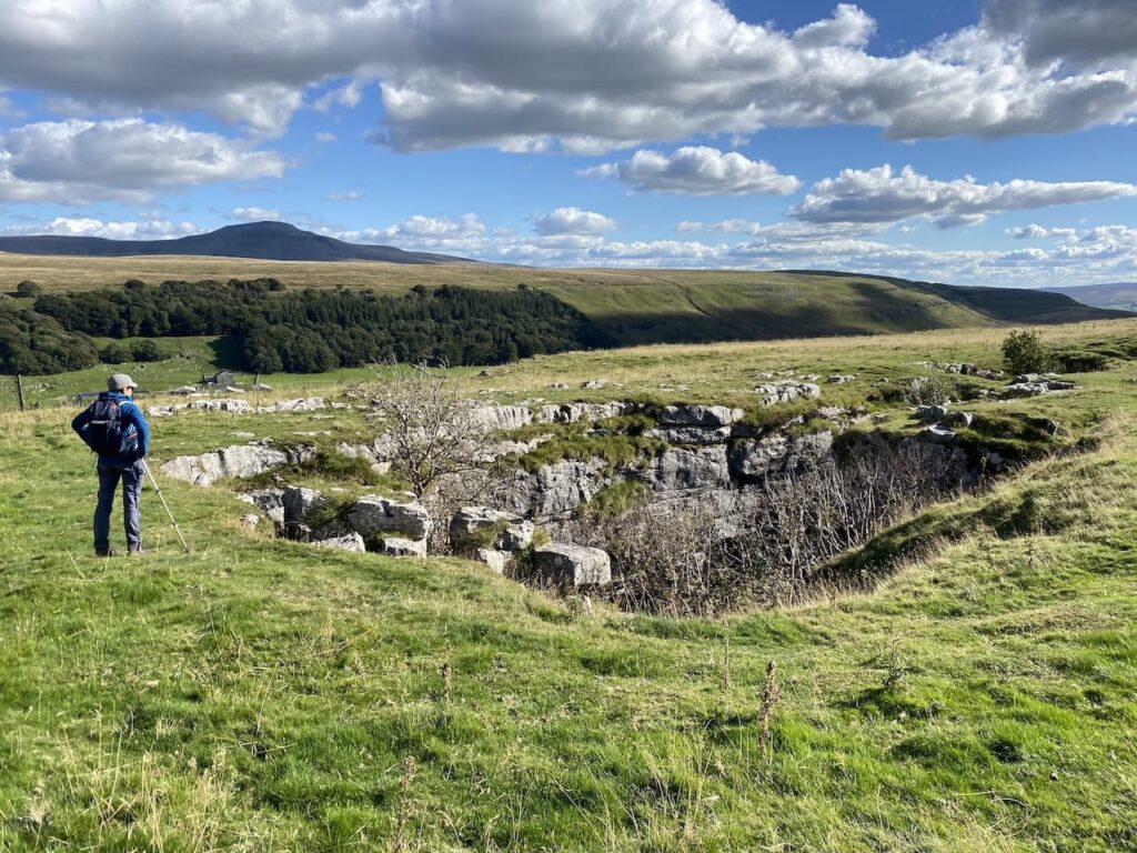
At Bullpot Bank we reach a track and turn right, following the track we quickly reach Rowten Pot. This is one of three entrances to Rowten pot which is 236 feet deep. It is one of several entrances into the 17 mile long cave system that drains Kingsdale.
The track we are following along the top of Green Laids Scar is known as Turbary Road. Later a search reveals that the word Turbary means the right to cut turf or peat for fuel from an area of common land or on another persons land. We are therefore walking along an ancient track that people once used as they collected their source of fuel.
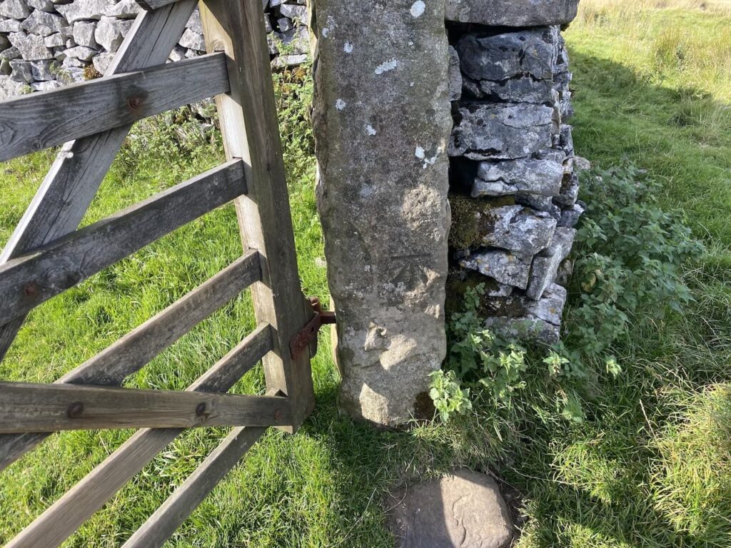
As we travel along we notice there are a large number of OS benchmarks carved into the gate posts. These were used prior to trig points to survey the land.
We stay with the Turbary Road as it heads to North End Scar and then just before it starts to descend we follow a path on the left which winds its way across the rough pasture moorland to join a track near Tow Scar.
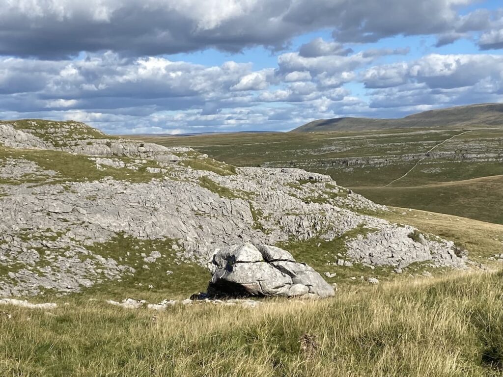
On sighting the OS Trig pillar on Tow Scar we veer off the path to visit the trig. I have previosly bagged this trig but it is well worth another visit.
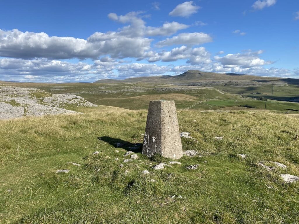
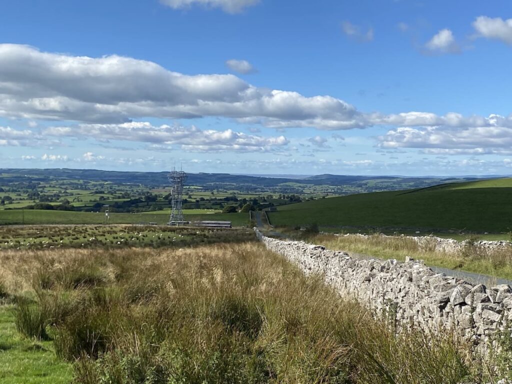
From the trig we head back downhill to return to the grass track and follow this back down to our start point at Thornton Lane, on the way we pause to look at the view behind us.
This has been a stunning walk, we have been fortunate with the weather and treated to some fantastic views.
To follow this walk you will need Ordnance Survey Outdoor Leisure – OL2 – Yorkshire Dales – South & West
You can view this 9.5 mile walk on OS Maps and download the GPX File Here (Subscription to OS Maps Required)
16th September 2022
© Two Dogs and an Awning (2022)
All information on this site is provided free of charge and in good faith and no liability is accepted in respect of damage, loss or injury which might result from it. To the best of my knowledge the routes are entirely on public rights of way or within areas that are open for public access.
Walking can be hazardous and is done entirely at your own risk. It is your responsibility to check your route and navigate using a map and compass.