

This is my last long walk of 2019 with my walking buddies Mandy, Glenda and Ged. We have decided to follow tracks across the eastern end of Cranborne Chase starting at Coombe Bissett. The four of us walk together on a regular basis usually trying to make a day of it so have covered a lot of ground together.
The starting point for our walk is the village hall car park at Coombe Bissett and we head off along the edge of the cricket field to join a track besides the pavilion.

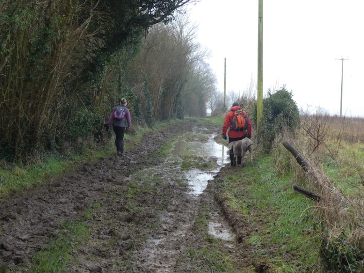
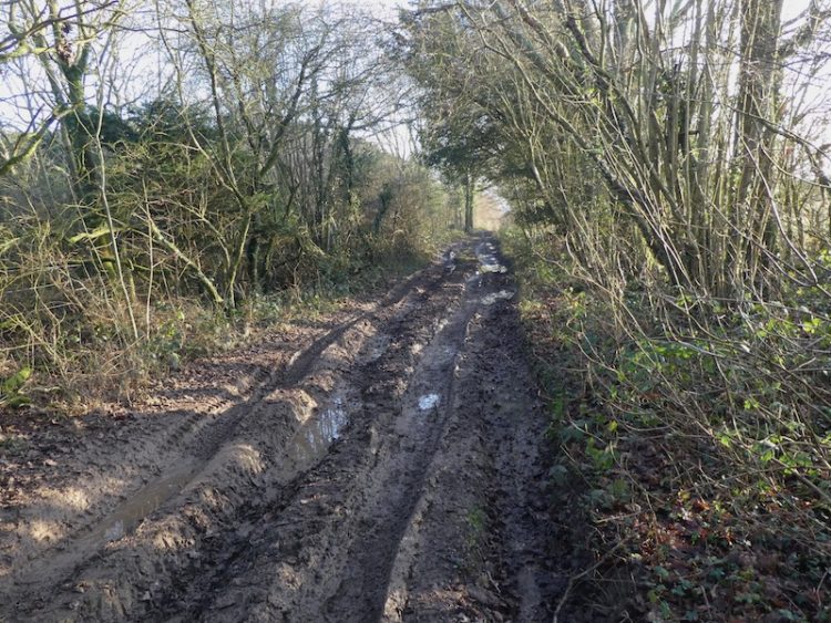
On the track we turn right?? and head steadily uphill to pass the entrance to Coombe Bissett Nature Reserve. We have a couple of dogs with us so decide not to enter the nature reserve but stay on the track to reach a tarmac lane and continue along this to a fork in the lane, we go right and follow the track by Pennings Farm. The route now becomes muddy and we navigate a route around some large puddles.
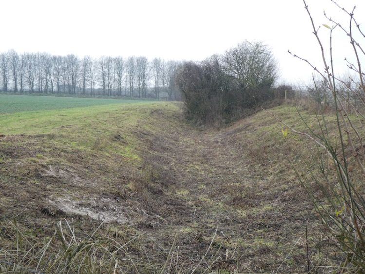
Soon on our left is a small caravan site at College Farm after which we reach a junction of tracks. We turn left and follow the way to a crossing of tracks where we turn right along a track that runs parallel to a Grim’s Ditch to our left.
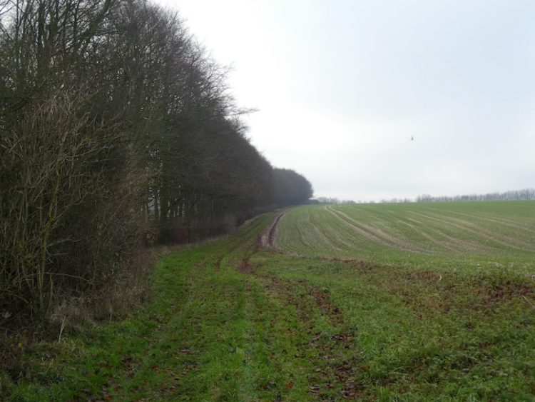
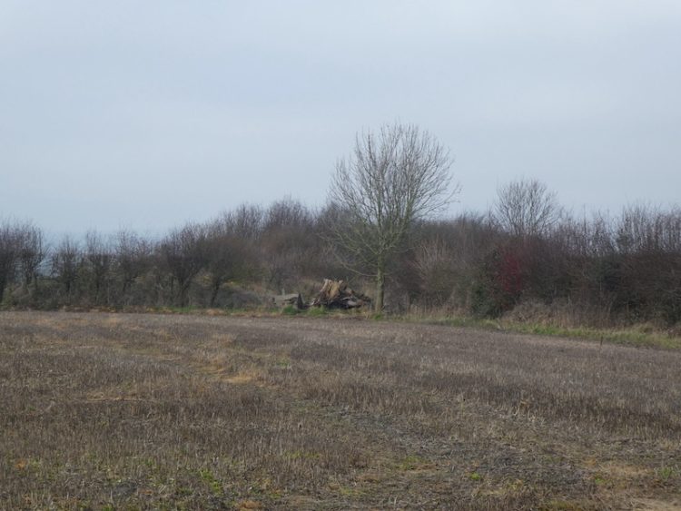
At a crossing of tracks we carry straight on and soon have a band of trees on our left.
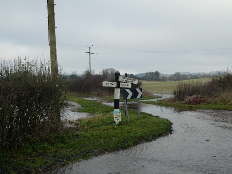
Staying with this path we continue heading in a southern direction to reach a minor road. We turn right and then almost immediately take a minor road on the left signposted to Toyd Down.
At a junction of tracks we turn left and follow a grassy track to reach the burial mound at Knapp Barrow where we turn left.
Very quickly we reach a footpath on the right, we go through a gate and pass the sizeable Long Barrow called Grans Barrow.
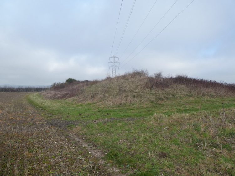
At a crossing of paths, we turn left and soon enter Bokerley Dyke Planation. The path runs through the edge of the plantation and through a hill fort before emerging into pasture.
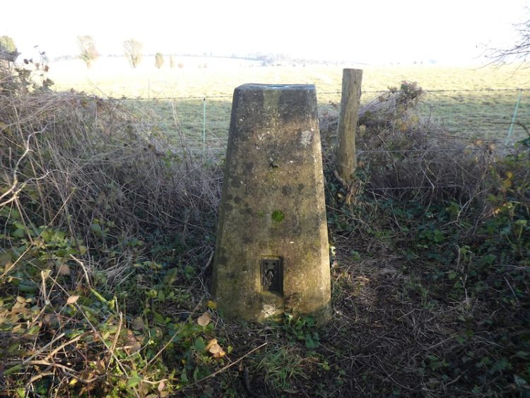
On reaching a hedge the path turns to the left and heads steadily uphill. Here we make a slight diversion to visit the Damerham Knoll trig point on the hill in front of us. This is my 190th trig pillar, my joy in reaching it is not universally celebrated by my walking companions. They tolerate my obsession of including a trig pillar on every walk we do!

Having bagged the trig, we return to the footpath and follow it over the hill and then head down to reach a minor road. We turn right and walk into Rockbourne with a stream running besides the road.
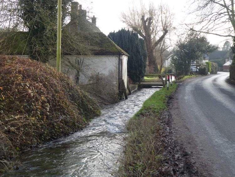
We pass the Rose and Thistle pub with its signage still bearing the name of Strong’s Brewery. In my youth there were still a number of local pubs under the Strong’s name, despite the brewery having been acquired by Whitbread in 1969. The brewery was founded in Romsey in 1858 when Thomas Strong purchased an existing brewery. Surprisingly, despite its good reputation, the Rose and Thistle is a pub I have never ventured into.

Soon after the pub we take a path on the left leading up to the 12th century St Andrew’s Church.
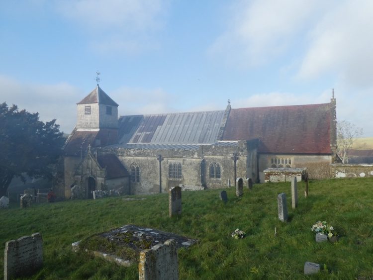
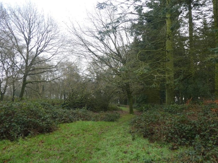
We follow the path around the churchyard and turn left to head uphill into the edge of woodland. On reaching a tarmac lane we turn left and follow this as it sweeps downhill through the trees. After emerging from the trees, we take a path on the right?? heading up through the valley towards woodland.
The path then follows a route through a band of beech trees.

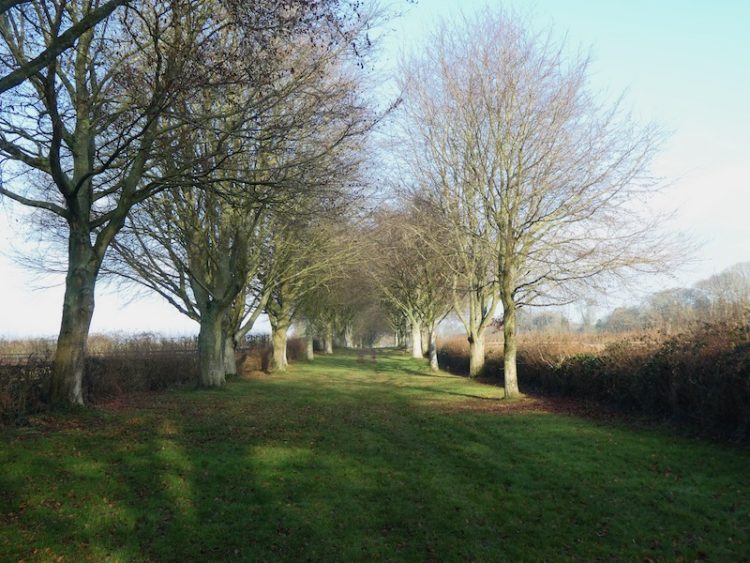
After passing small copses on the left and the right we reach a gate leading to an avenue of trees.
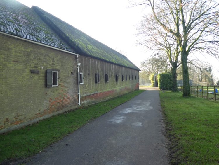
The route now takes us to Whitsbury Stud Farm where we join a road and turn right and then almost immediately turn left on a path through Manor Farm with it’s array of fine buildings.
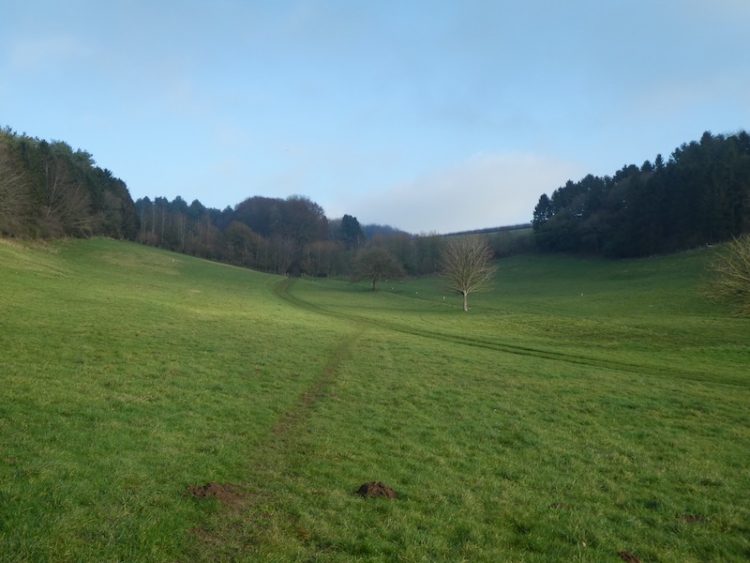
There are fine views as we follow a clear track steadily downhill.

After crossing Long Steeple Lane Track we head uphill onto Breamore Down and cross South Charford Drove and continue on with woods to our left. This path leads onto North Charford Drove where we turn left and continue along the northern side of woods. The path then continues between fields to reach Gallows Hill where I bag my 191st trig pillar on Wick Down.
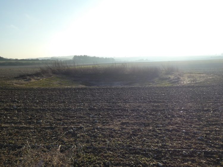
Heading north on the track we reach a junction of paths where we turn left on a drove and then as the drove forks we go right and soon cross another track. After a few hundred yards we spot a Dew Pond in the field to our left.
We stay on the drove towards the southern edge of Great Yews. At a four-way junction of tracks we turn right and follow a muddy track besides Great Yews.
Soon after emerging from the woods we ignore a path on the left but then very soon take a track on the right and head towards Down Barn.
At Down Barn the track becomes a tarmac lane and we follow this along the ridge and then down into Homington. In the village we go straight across a road and then join Lower Road which heads west through the village to pass the small attractive church of St Mary the Virgin.

With the light fading we follow the road from Homington to reach Coombe Bissett where we walk through the village until we reach the turning to head uphill back to the village hall car park.
Our wander around these droves has covered just over fifteen miles and despite one or two very muddy tracks has been thoroughly enjoyable. I am looking forward to walking the route again after a dry spell.
To follow my walk you will need Ordnance Survey Explorer Map OL130 – Salisbury & Stonehenge
You can view this 15.5 mile walk and download the GPX File on OS Maps (OS Maps subscription required)
Additional Information
For more information on this walk including car parking, amenities, refreshments and detailed walking directions visit my associated Walking Moonraker website.
30th December 2019
© Two Dogs and an Awning (2019)
All information on this site is provided free of charge and in good faith and no liability is accepted in respect of damage, loss or injury which might result from it. To the best of my knowledge the routes are entirely on public rights of way or within areas that are open for public access.
Walking can be hazardous and is done entirely at your own risk. It is your responsibility to check your route and navigate using a map and compass.