

Following my trip to Martin Down last week I have decided to explore more of the area. It is an ideal place to start a walk with a large car park providing immediate access to cracking countryside. Today my aim is to walk further east to Cranborne Common which is close to the edge of the New Forest.
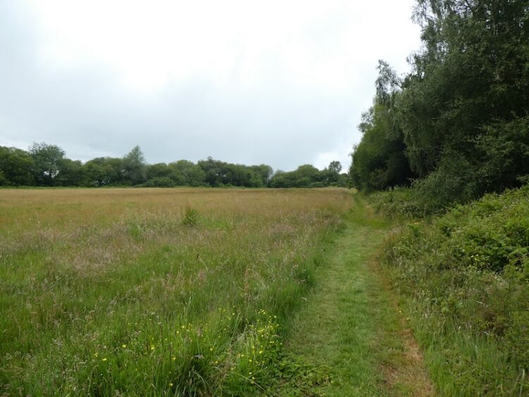
I start my walk from the southern end of the car park and head out passing a metal barrier besides some information boards. Initially the path heads through some shrub but soon reaches the vast expanse pf the 850 acre nature reserve.

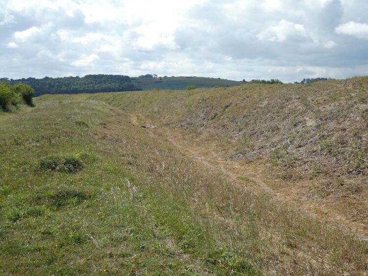
I continue down the track to reach the disused rifle range butt and here turn right on a path that heads a few hundred yards besides the butt to reach the Bokerley Ditch. This ditch is thought to have been built in the iron age and fortified in the 5th century. It runs for around 3.5 miles and is an impressive structure.
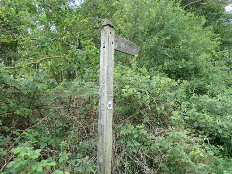
On reaching the ditch I turn left and follow it heading south westerly for almost a mile towards a belt of trees. I turn right on a footpath with a finger post for the Jubilee Trail and follow along besides the trees. The Jubilee Trail is an 88-mile route across Dorset from Forde Abbey to the Bokerley Ditch.
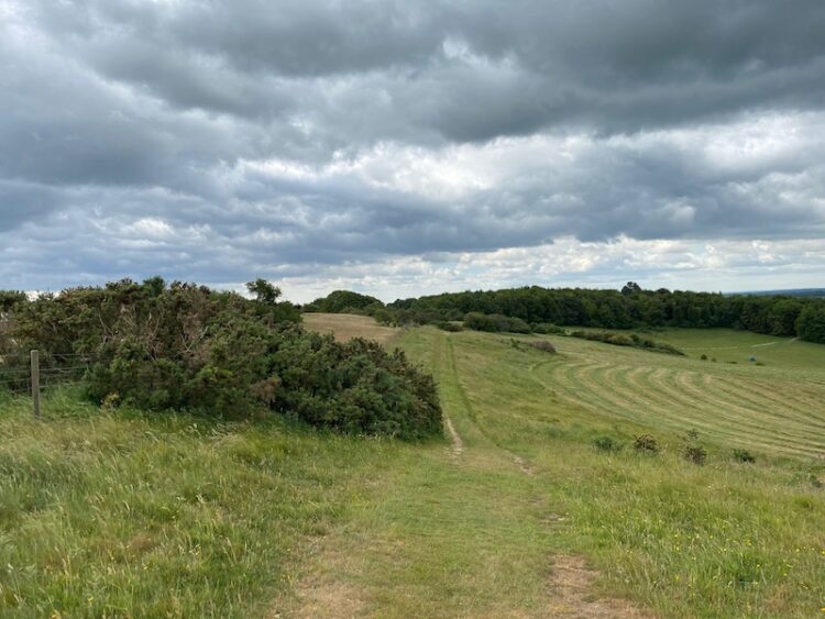
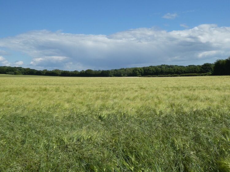
After passing through a metal gate I continue along the edge of an arable field to reach a stile onto access land on Pentridge Down. Now I follow a track that steadily ascends the downs. This is a cracking spot with stunning views.
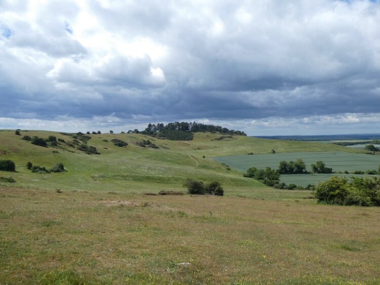
At a junction of paths I turn right towards Penbury Knoll at the summit of Pentridge Down.
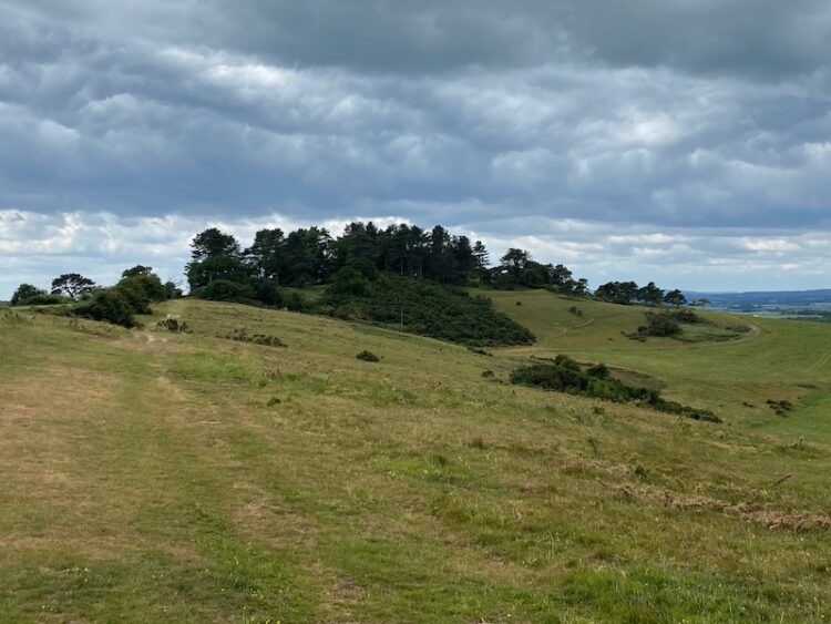
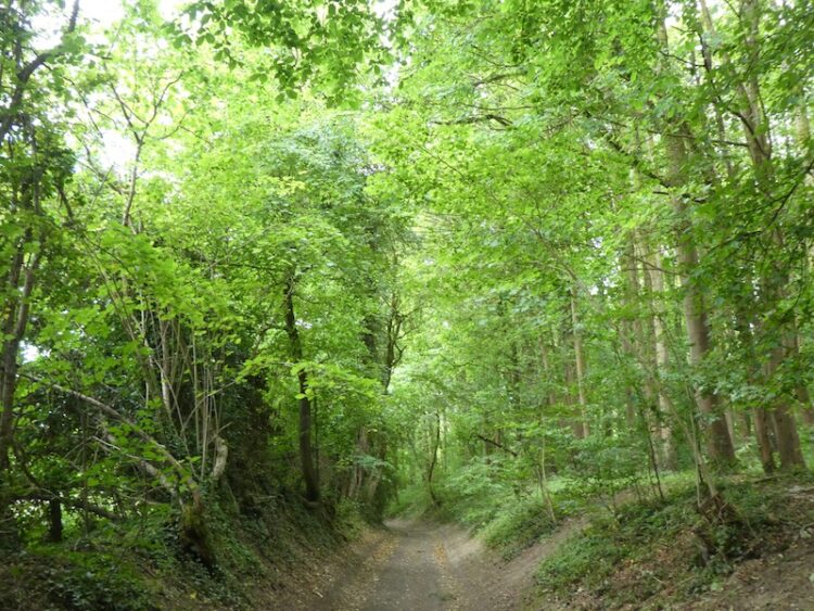
I pass though the trees and continue on a path to reach a gate, after going through I stay on the track as it runs along the top of the down. I have joined the Hardy Way which is a 220-mile route linking locations across Wessex associated with Thomas Hardy.
At a junction of paths close to a wooden gate I keep left still following the Hardy Way as it starts to descend around Blackbush Down.
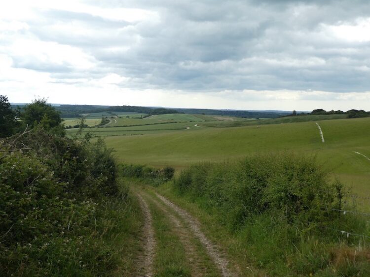
I walked up this track towards the end of my walk last week, it was a hot day and I had covered over fifteen miles when I reached this point and it was a long haul up. Today it is easy progress as I stride down the hill to reach Jack’s Hedge Corner.
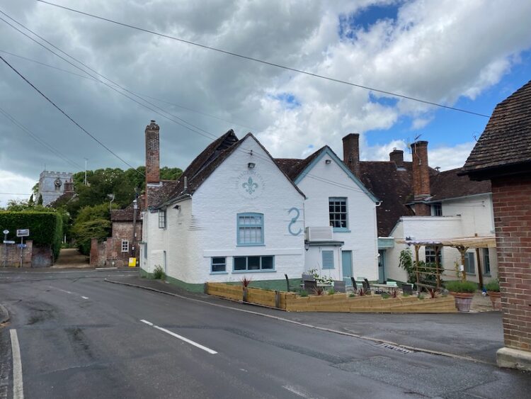
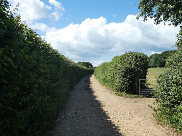
Here the Jubilee Trail goes to the right, but I stay with the Hardy Way and keep heading downhill on the track. After passing a metal gate the track becomes a tarmac lane and continues down to reach Salisbury Street on the edge of Cranborne. I follow this minor road into the village.

After passing the Sheaf of Arrows pub I continue to reach the village store and turn right into Wimborne Street and then turn left into Castle Street passing the Fleur de Lys pub.
Following Castle Street I walk through the village and as the road bends to the left I take a minor road on the right, Castle Hill Lane. After a quarter of a mile I take a bridleway on the left which heads below the Motte and Bailey castle, I will make a return visit here with Lynnie to explore the castle site.
Following the broad bridleway, Mill Lane, I am grateful for the tree covering as a shower sweeps through overhead.
I stay with Mill Lane ignoring a footpath on the right and then a track on the left to ford a stream to reach the site of an old mill. There is very little to see here apart from the foundations of a few buildings.

I ignore a lane on the left and continue south on Mill Lane, this is now heavily rutted and then I reach a section that is flooded. Given that it is June and we have experienced weeks of dry weather I hate to think what this is like in winter!
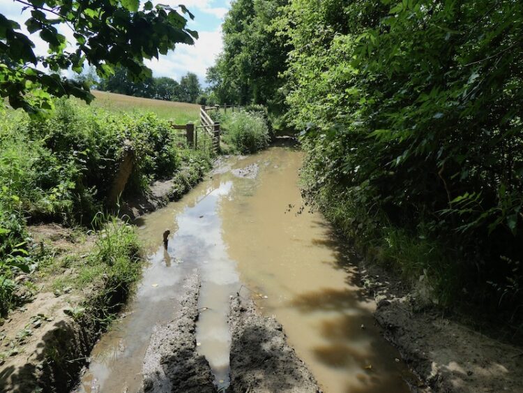
I manage to negotiate a route around without getting wet feet and then stay with the lane as it continues to the entrance driveway of the Dorset Heavy Horse Centre. I recall visiting a heavy horse centre in Devon with my children thirty years ago, it was an interesting day, but I am not into horses so once was enough for me.

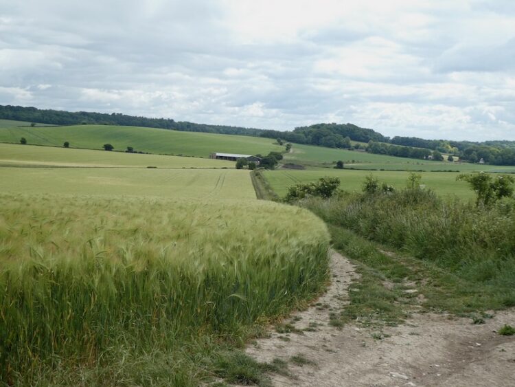
I follow the entrance drive to a junction with a road. I continue straight on heading east beside the road, initially with a wide verge, but it soon narrows so I have to take care in the traffic. It is with some relief when after a quarter of a mile the road bends to the left and I continue straight on along a track soon crossing a disused railway line.
This is the southern section of the disused Salisbury and Dorset Junction Railway. This 18 mile line spurred off the Salisbury Southampton line at a junction in Alderbury through Downton and Fordingbridge to West Moors where it connected with the main Southampton to Dorchester line. The line was completed in 1866 and operated until May 1964. In March I walked a few miles besides the northern section of the line near Alderbury.
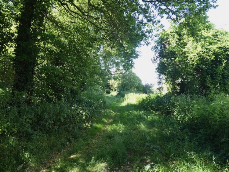
At a junction of tracks I ignore the track on the right and continue straight on soon entering woods. At the next junction of tracks I take the footpath heading through the trees up Pistle Hill.

The footpath soon joins a forestry track heading towards a telecommunications mast and then I turn left on a track towards Cranborne Common. Nearing the common I make a brief diversion to seek out an Ordnance Survey trig point tucked away amongst the bracken and brambles. The area around my 207th bagged trig is a bit clearer.

Back on the path I continue towards Cranborne Common. At a bench overlooking the common I stop for lunch. There are fine views from here.

I follow the path heading north easterly across the common.
On reaching a track I turn right and soon after left. At a fork in the path I go left and then through trees to reach a car park for anglers. The route now follows a track to reach the B3078 which I cross and take a track into Further Daggons Wood. After passing houses the track continues through the trees to reach Hart’s Farm.
I go over a stile and follow the footpath as it heads downhill to a junction of track. Here I go right passing farm buildings at Lower Daggons two reach a minor road. After crossing the road I join footpath on the opposite side that leads along the edge of Lopshill Common.
At a junction of paths I turn right heading towards Lopshill Farm. I stop to check the route on the map and two women come along the path. They enquire where I am heading and I explain I am going back to Martin Down. It appears they think I am hopelessly lost and despite my explaining that I know where I am and where I am going they decide to change their plans to guide me through the woods and then onto Ashley Park Farm.
I go through a gate and fork left to cross access land and then enter woodland and cross a stream. The path heads north through the trees to reach Hyde Cross where I ignore a track on the left. A few hundred yards later we take a path on the right which goes north east between arable fields.
It is obvious that the two women know these paths well and they chat about their local walks as we go along. It is unusual for me to join up with anyone whilst walking. But it is interesting to meet these two and after a couple of miles walking together we part company at Ashley Park Farm where I go left through the farm yard and join Stony Lane.
I cross a minor road at Four Corners and continue on a track heading north west, this briefly joins a minor road and then as the road goes to the left I continue on a track heading towards a pig farm. I smell it well before I reach it and the overflow from some yards has washed down the track making sections unpleasant to walk along.
After passing the pig units I continue along the track and thankfully the wind is blowing in the right direction to make the air more pleasant. I am used to the smell of pigs, as a nipper in the early 1970’s I worked on a pig farm, it had 300 sows which I fed at the weekends. It was tiny compared to the operation I have just passed. These days I much prefer to see pigs in fields rather than sheds.
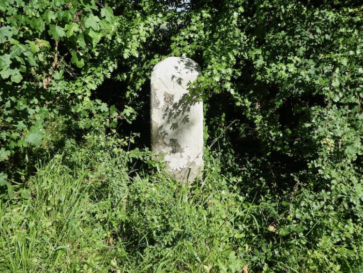
The track continues to a minor road where I stop to look at an old milestone on the right.
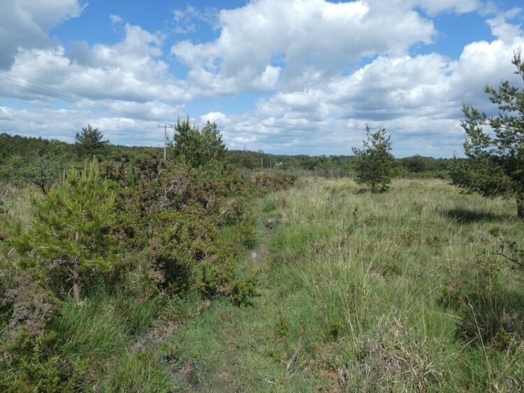
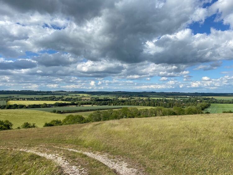
Crossing the road I take the track as it heads steadily uphill and then at a junction of paths go through a gate onto Tidpit Common Down. This is a cracking spot and a great place to be on a warm afternoon.

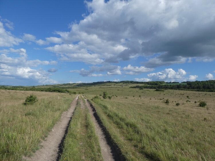
I stay with the footpath across the down as it ascends steadily to reach a gate onto Martin Down Nature Reserve close to a Grim’s Ditch. I now have a number of options to cross the downs to return to the car park. I choose the track that heads to the north and then goes left.
At a junction of paths I go right and continue on this track as it continues across the down to join a bridleway with a car park across the downs to my right.
There are a few folk walking onto the down from the car park so I choose the quietest route which is to stay with the bridleway to a junction of tracks besides a Grim’s Ditch. Here I take a track heading north east across the downs towards the Rifle Range.
From the Rifle Range Butt I stay with the track to return to my starting location in the car park.
To follow my walk, you will need Ordnance Survey Explorer Map 118 Shaftesbury & Cranborne Chase; and OL 22 New Forest
You can view this 19 mile walk and download the GPX File on OS Maps (OS Maps subscription required)
Additional Information
For more information on this walk including car parking, amenities, refreshments and detailed walking directions visit my associated Walking Moonraker website.
5th June 2020
© Two Dogs and an Awning (2020)
All information on this site is provided free of charge and in good faith and no liability is accepted in respect of damage, loss or injury which might result from it. To the best of my knowledge the routes are entirely on public rights of way or within areas that are open for public access.
Walking can be hazardous and is done entirely at your own risk. It is your responsibility to check your route and navigate using a map and compass.