It’s another fine sunny day with good visibility, so obviously it is time to walk up Cadair Idris. We can see the summit from our caravan site and I am reliably informed that two and a half hours good walking will get us to the top. Of course, there will be another two and a half hours to come back down. So a good days walking, especially as the peak is 2,930 feet and we are starting from close to sea level.
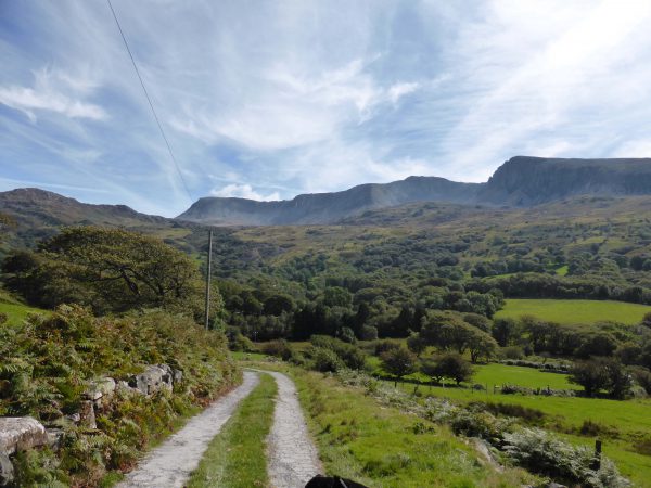
We walk up the drive of Abergwynant Farm alongside the River Gwynant and cross the A493 to join the minor road opposite that climbs steeply so we are quickly high above the river. We ignore the first footpath sign we come to, but soon after take the next footpath that takes us up a track. We follow the well-signed path taking us through gates, over stiles, through fields and across a stream all the while climbing gradually. Then another steep climb and we go around derelict farm buildings before another brief but steep climb.
After going through the farmyard of Tyddyn-Evan-fychan we continue on the farm track and eventually reach the car park for those starting their walk at the foot of Cadair Idris. Lynnie politely asks why we could not have reached this point by car and I remind her of the pleasure we have had walking for the last hour or so, she is hot and does not seem convinced.
We join the road for a few yards and then take the farm track, passing the footpath sign to Cadair Idris, there is a gradual incline but when this bit is completed it is all up! At a kissing gate there is a memorial stone to a chap called Will Ramsbotham and the inscription tells us that he completed the Cadair Idris Fell Race in a record time of one hour and twenty-five minutes on the 5th June 1993. The race starts and finishes in Dolgellau and is approximately 10.5 miles going all the way to the summit. Tragically the day after he set the record Will fell whilst climbing on Cadair Idris and died as a result of his injuries.
A quick read of the rules for race participants is a stark reminder of the hazards of fell running (and walking). Every entrant must carry full windproof body cover, a map and compass suitable for navigating the course, a whistle and appropriate gear for the weather including hat and gloves. Competitors should also be aware of the signs of hypothermia. The race is usually run in May or June so it goes to show how hazardous the weather can prove even in the summer.
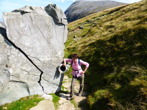
Today it is hot, we are well equipped but our greatest risk is sun stroke, or dehydration. We are following the old Pony Track route. This path to the summit is the longest and most popular, it gets its name because Georgian tourists would take a ride on a pony to get to the top. That’s what I would call cheating, whilst Lynnie would consider it to be the sensible choice.
There are various stories as to how this mountain got its name, one is that it is named after a huge giant (Idris) who would use the mountain as an armchair (Cadair) to sit and gaze at the stars. Another tale suggests that the chair is near the summit and that anyone who sleeps up there will become a poet, go mad or die.
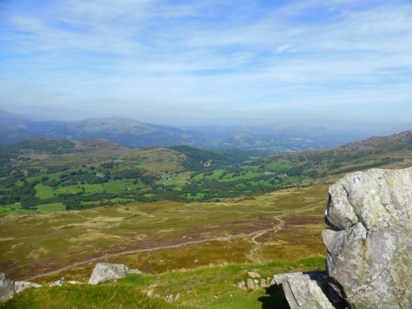
We stop for a picnic on some rocks before resuming our walk ever upwards. At a crossroads in the path we go straight across, it is relatively level, but this is short lived because we soon start to climb again as we traverse the escarpment. After this sharp climb the path is back to a gradual incline. At another junction we turn left to follow the well-defined path the views are stunning. The only disappointment is that it is slightly hazy so we get the views but cannot see a great distance.
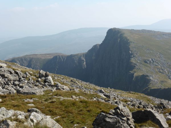
After the luxury of a well-defined path we are back to walking up a scree path, all the while getting closer to the edge and the summit. I have been trying to convince myself that there is not much of a drop. But as we climb it is clear that our path will take us close to the edge. I send Lynnie on to check and she confirms that the edge is precipitous and not a path that I am going to feel comfortable on. So I avoid the edge whilst Lynnie continues on alone.
I do find this fear of heights frustrating, but I see little point in subjecting myself to the distress it causes by forcing myself on for the last hundred feet or so. I am sure many will think having gone so far why not go to the top, but it would have spoilt a lovely walk for me. Lynnie has become more wary since her slip in the North York Moors when navigating narrow paths with steep drops. So she decides that discretion is called for and does not go the final few feet.
After a stop to admire the views we retrace our steps back down the Pony Path. I always enjoy going down because you get a chance to admire the views in front of you, on the way up I tend to focus on the climb and the lump of rock that needs to be conquered.
On reaching the road we turn left and follow it for about a mile. At a junction with another road we turn right. These roads are just lanes and appear to be rarely used, we do not see a car for miles. This is pleasant walking with some cracking views, our route descends gradually with the occasional steep downhill stretch.
We pass a cemetery, which is well tended, but the chapel that sits alongside it is derelict. A bit further along we meet a motorhome, the female driver explains they are planning to park somewhere overnight close to Cadair Idris and then climb the mountain in the morning. She asks about the suitability of the lane for a motorhome, I reply that I would not attempt it myself because it is narrow with steep drops. She tells us she comes from Bavaria so is used to such conditions, but might turn around anyway.
We pass Kings Youth Hostel at Islawr-dref and then continue alongside the River Gwynant for a while before crossing it. On this sunny day with so little recent rainfall the river looks very docile. However, the trees and other debris scattered above the waterline suggest that in a wet winter this must be a hairy bit of river.
Crossing a bridge we climb away from the river and soon pass an old school. A few days ago Mrs Jones told me that her sons were amongst the last intake of pupils at the school. It is hard to imagine that a school was ever viable in such a remote location.
Back at the Unicorn we get our feet up and enjoy the view of Cadair Idris. It is stunning and there is a real sense of achievement to think that just a few hours ago we were at the top (or almost at the top!). We plan tomorrows walk and agree we will try to avoid steeps cliffs.
(4th September 2014)
[To follow our walk you will need Ordnance Survey Outdoor Leisure Map OL 23 – Cadair Idris & Llyn Tegid]
© Two Dogs and an Awning (2014)


