Now that Dexter is getting older we have to manage the distances he walks, if it is not too hot he can still clock up a few miles, but his days of long distance walks are sadly over. I thoroughly enjoyed my morning walk with Crosby and Lynnie is keen to get out for a few miles this afternoon so we head off to Horton in Ribblesdale.
Our walk starts from the Yorkshire Dales National Park car park in Horton in Ribblesdale (Grid Reference: SD807725). Leaving the car park we turn right along the road soon passing the Pen-y-ghent Café, which appears to have closed down. We cross the road to take the track that leads past Horton Scar.

The skyline to our right is dominated by the Pen-y-ghent.

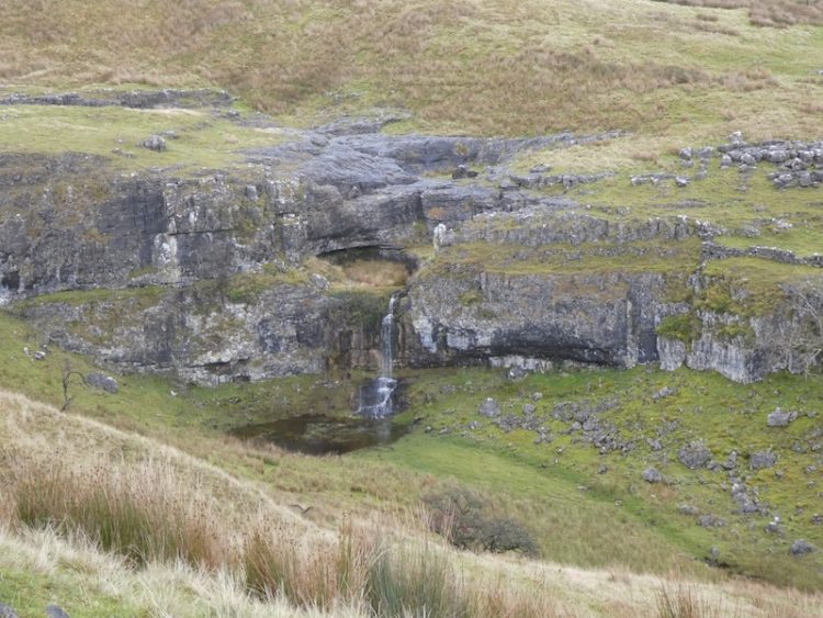
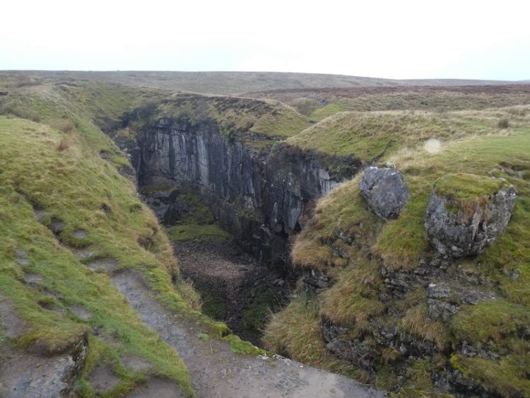
At the crossroads of footpaths we walk straight on towards Hull Pot. I have previously written about Hull Pot, it is a huge pothole that suddenly appears on the track.

We turn around and retrace our steps to the crossroads of paths and turn right to climb over Whitber Hill. It can be bleak up here, today there is a bit of mizzle but we have been here when the visibility has been very poor. We are grateful for the well-defined path (that forms part of the Three Peaks Walk).

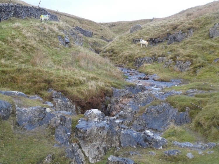
Crossing the Sell Gill Beck, we continue until we reach a junction of paths and turn left onto the Pennine Way signposted to Horton in Ribblesdale. Soon we meet Sell Gill Beck again. In the past we have seen people potholing here, not something I would ever fancy doing.

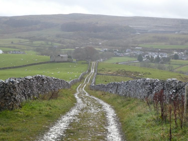
The route is now very straightforward we follow the track as it steadily descends towards Horton in Ribblesdale.

Back at the car park our walk has covered just over four and a half miles, which is just about right for Dexter at the moment. It is now time to head back to the caravan and start planning tomorrow’s walk.
[To follow our walk you will need Ordnance Survey Outdoor Leisure Map OL2 – Yorkshire Dales – Western Area]
You can view this 4.5 mile walk on OS Maps and download the GPX File Here (Subscription to OS Maps Required)
11th November 2019
© Two Dogs and an Awning (2019)
