

Today I have two walks planned. Later this afternoon I will be heading out to try and “bag” an Ordnance Survey trig point, it is a warm day and the walk will involve a couple of stretches on roads so I am going to leave Crosby with Lynnie and Dexter. So this morning we are all going on a short walk from Domo CL.
We leave the caravan and walk onto the Old Racecourse and turn left to join the Offa’s Dyke Path. It is a bright sunny day so the initial section through the thick copse of trees is less gloomy than usual.
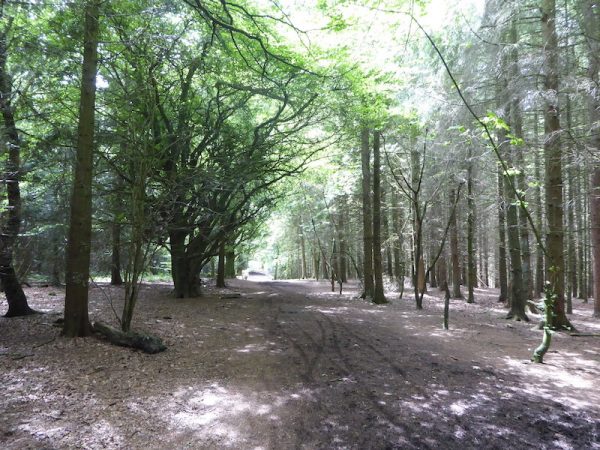
The path soon runs besides a field and then reaches a junction of paths at a clearing; here we stop to enjoy the stunning views to the west.
From the clearing we choose to take a right fork leaving the Offa’s Dyke Path and heading downhill.
We stay on this path descending steeply and ignoring other footpaths leading off to the left. At the foot of the hill the path runs close to a stream.
We take a footpath on the right to cross a bridge over the stream and join a tarmac lane.
At a junction with a road we turn left and follow the lane as it heads through the Candy valley. It is pleasantly warm as we wander along.
At a junction we turn left and continue along to cross the stream again before turning left and following a footpath signposted to Candy Wood. This route follows a driveway to a cottage and we are now back on the Offa’s Dyke Path.
As we reach the cottage I notice a plaque commemorating the life of Private Richard Davies of the 5th Bn Kings Shropshire Light Infantry who died aged nineteen on 25th January 1916 and is buried in Boulogne Eastern Cemetery. I later search the Internet trying to find the significance of the plaque’s location, but sadly do not find any information.
Our route is now back uphill following the way-markers for the Offa’s Dyke Path, ignoring all the footpaths leading off to the left and right.
Staying on the Offa’s Dyke Path takes us all the way back to the Old Racecourse and then the short stroll back to Domo CL. Our route has covered just over three miles, which seems to be the ideal distance for Dexter. Now it is time for lunch before I head off for my afternoon walk.
To view this 3.5 mile walk on OS maps Click Here
To follow our walk you will need Ordnance Survey Explorer Map 240 – Oswestry
30th June 2019
© Two Dogs and an Awning (2019)