

One of the things I like about being away in the caravan is that first thing in the morning I have to head out with Crosby for a walk. This is usually around 7.00am. before many other folk are about.
Depending on where we are staying our walk normally covers between one and a half to three miles. I always try to do a circular walk, I have an aversion to walking out and back on the same route.
My morning walk from Charlton Manor CL has been a two mile loop. I leave the CL and turn left to join the track which is also the route of the White Horse Trail and I follow this for half a mile to a junction of tracks where I turn left leaving the White Horse Trail.
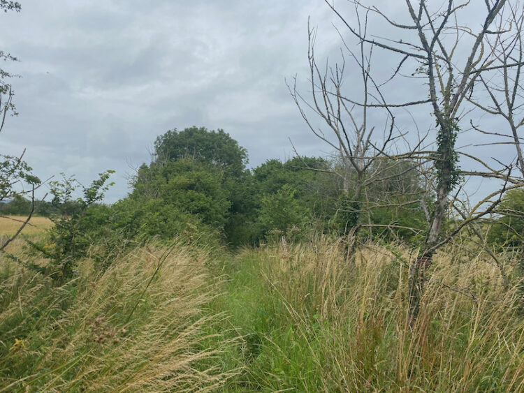
I go along this track, with views of the Alton Barnes White Horse to the right, for three quarters of a mile to reach a junction of paths where I turn left. The path heads through a field to cross a stream and then head along the edge of another field.
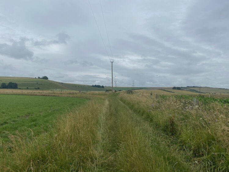
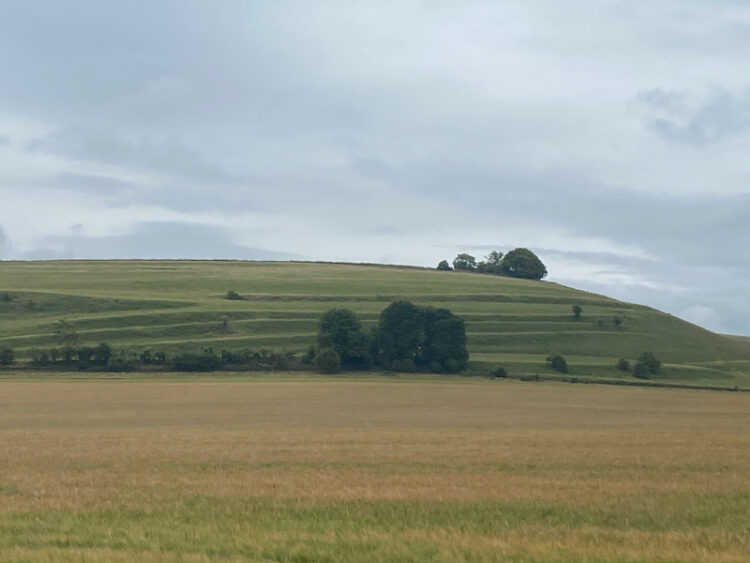
At the next crossing of paths I turn left and follow this path eastward. To my right on the opposite side of the road is a fine example of Strip Lynchets. This is an ancient field system created on downland to maximise the use of the land for agriculture.
Now I follow the path along the edge of the field with the Charlton Cat cafe visible in front to the right.

Leaving the field I turn left down a track to reach the edge of Charlton St Peter, where I turn left and follow the lane back to the caravan site. This walk is just over two miles, just about right for both Crosby and I before breakfast. Now it is time to start preparing for our main walk of the day!
To follow this walk you will need Ordnance Survey Explorer Map OL130 Salisbury and Stonehenge
You can view this 2.3 mile walk and download the GPX File on OS Maps (OS Maps subscription required)
15th July 2020
© Two Dogs and an Awning (2020)
All information on this site is provided free of charge and in good faith and no liability is accepted in respect of damage, loss or injury which might result from it. To the best of my knowledge the routes are entirely on public rights of way or within areas that are open for public access.
Walking can be hazardous and is done entirely at your own risk. It is your responsibility to check your route and navigate using a map and compass.