

A new walking year starts and once again I am undertaking a “walk the year” challenge. This is the sixth year I have undertaken this quest, so this year I will be aiming to walk at least 2,023 “boots on” miles. Since starting this challenge in 2018 I have walked over 12,500 miles which is equivalent to half way around the world. On today’s walk I am joined by my walking buddies Mandy, Gary and Nigel. We are going to explore a part of Hampshire I have not previously walked and hopefully bag a couple of new trig pillars.
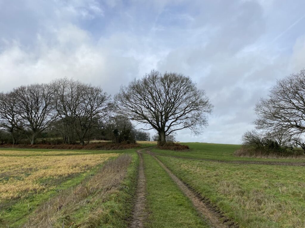
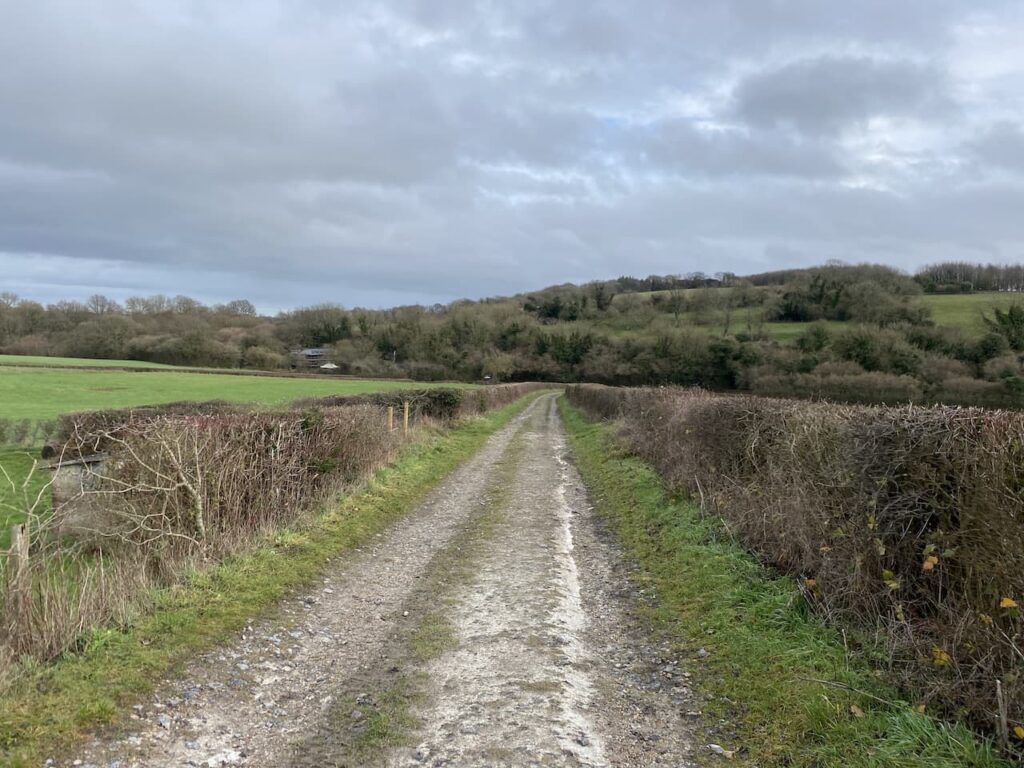
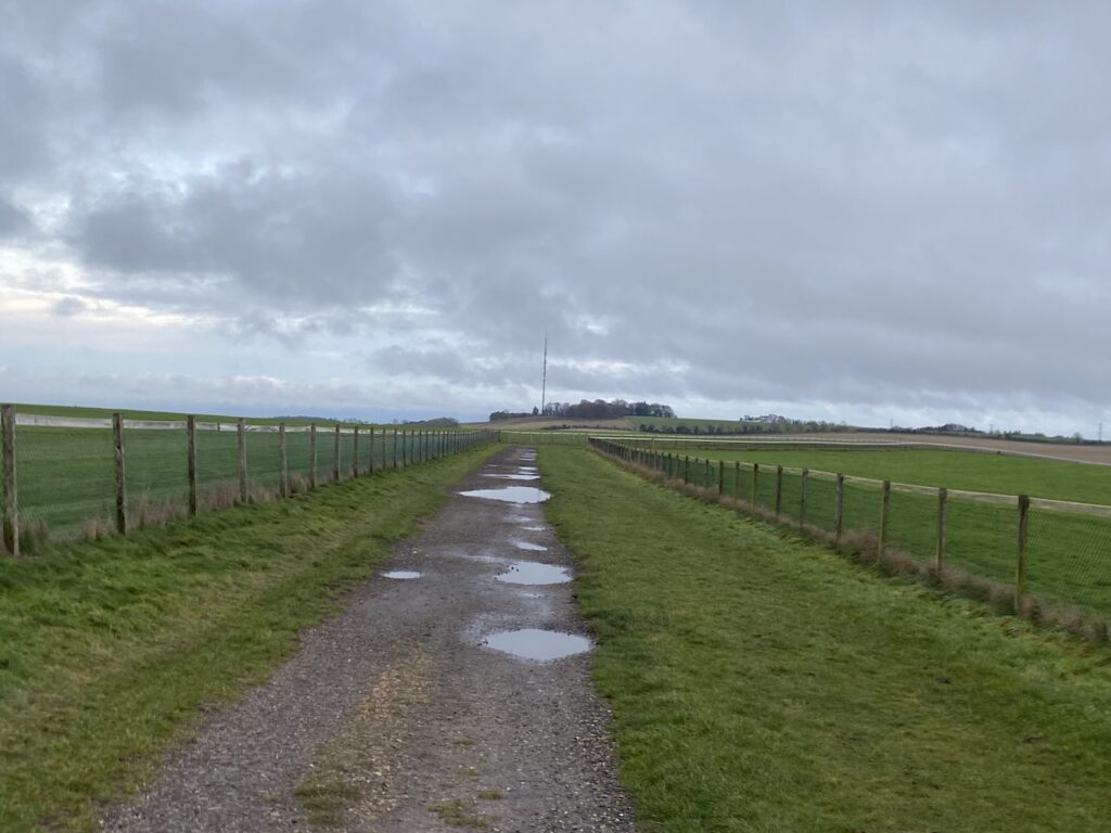
The starting point for our walk is the car park at the top of White Hill on the B3051 south of Kingsclere (Grid Ref. SU 516565). It is a chilly morning so we don’t hang around and are soon heading off to leave the car park to the north and after going through a gate follow a track along the top of access land on Stubbington Down.
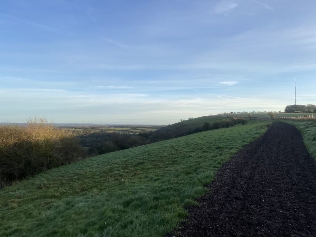
This area is home to horse racing stables and it is clear the track has been laid for the benefit of horses rather than walkers. At a junction of footpaths we turn right and head south to another path junction where we turn left and continue along the edge of a field heading towards the Hannington wireless tower on Cottington’s Hill.
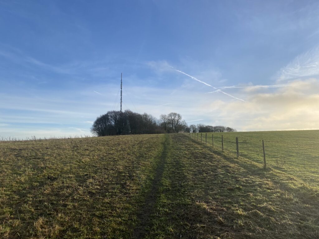
This tower broadcasts television signals. Apparently for a six minute period on 26th November 1977 the broadcasts from the tower were hijacked and instead of Southern TV news a broadcast purporting to be from Vrillon an alien from the Ashtar Galactic Command. Extensive investigations failed to identify the individuals responsible for this prank.
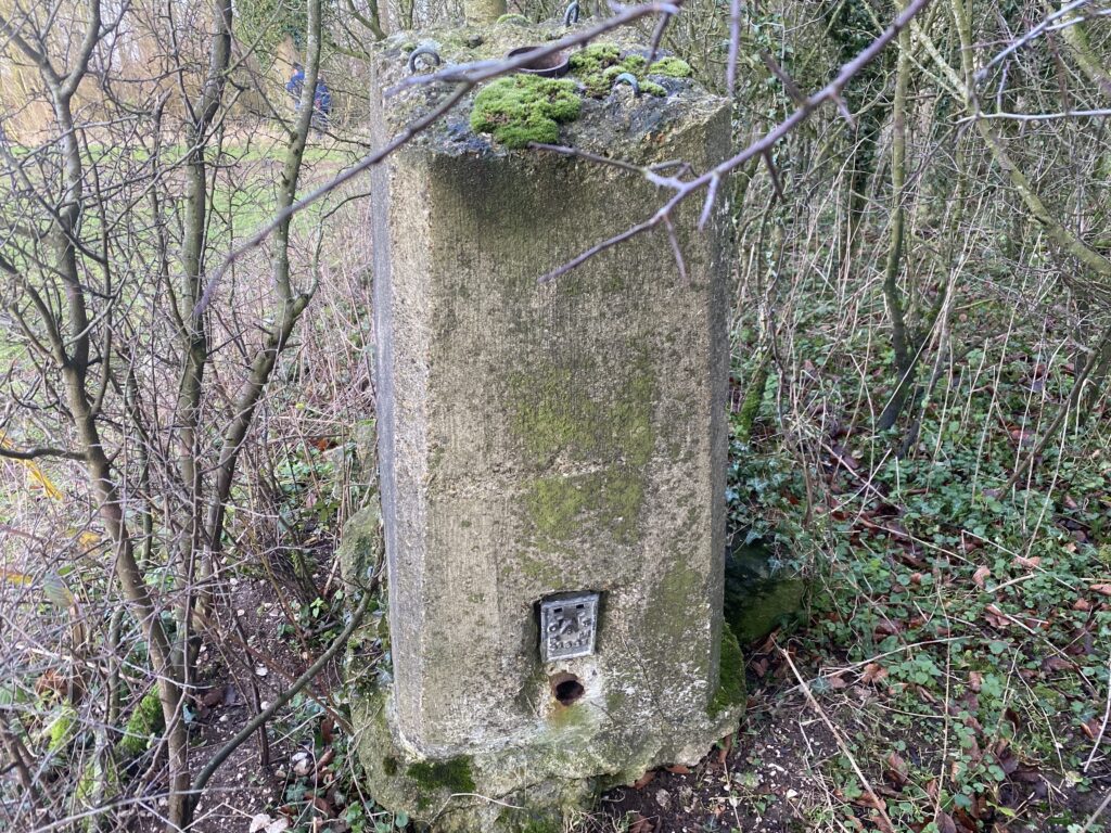
On reaching a gate in the corner of the field our route goes to the left, but first we make a short diversion so I can bag a trig. To do this we go through the gate and follow the path for 100 metres and the trig is at the edge of woodland to the right. This trig has been moved from its original location which was further into the field.
It’s never good to find a trig has been moved, but at least it has not been destroyed. This is my 357th trig.
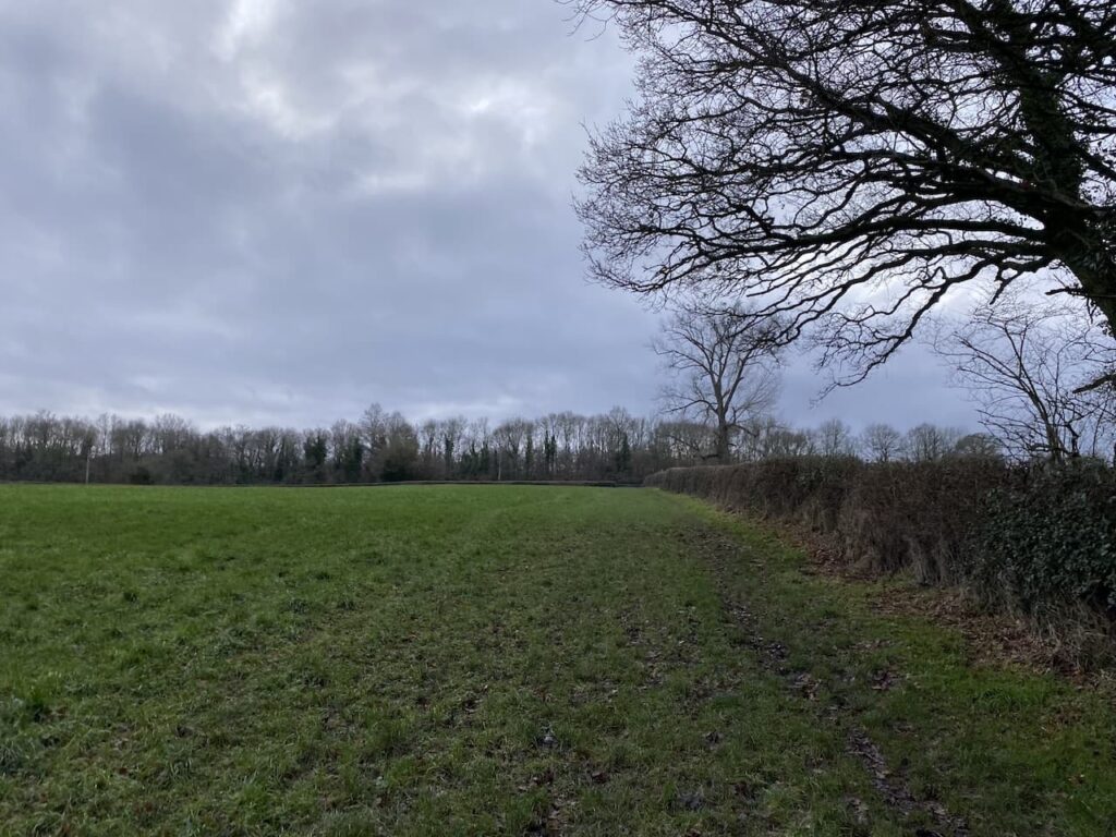
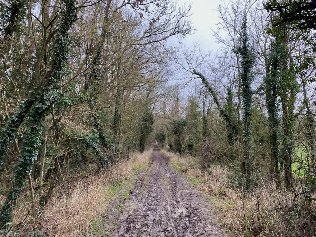
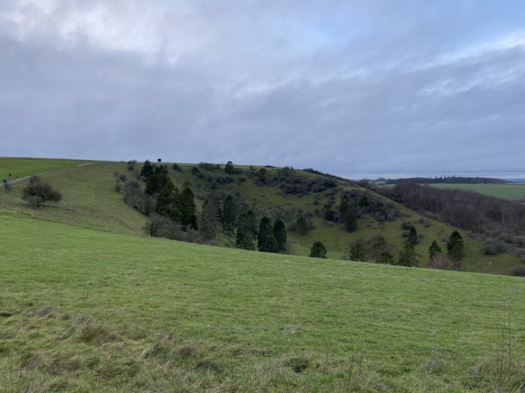
From the trig we return to the gate and now turn right to head downhill to woodland on Freemantle Park Down. Entering the trees we turn right and follow a footpath that heads east.
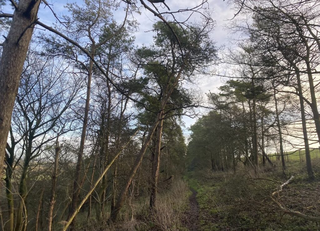
It is a cracking morning and as we emerge from the trees we get wide ranging views.
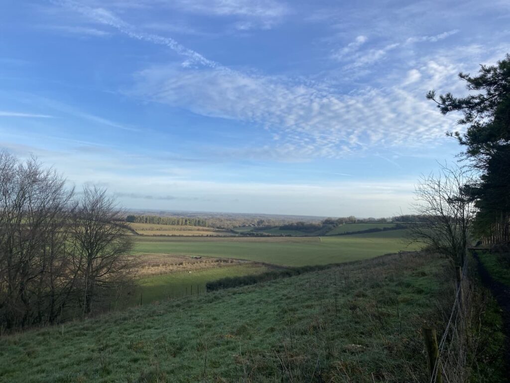
We stay with the path until we reach a track where we turn left to head north downhill.
The path soon levels out and continues between arable fields.
At a junction of paths we take the second path on the left and head towards Kingsclere.
On reaching a fork in the track we go left and follow this track until we reach a playing field where we follow the footpath as it goes diagonally downhill to the north west corner of the playing field. On reaching a road we cross and follow a residential lane to the centre of Kingsclere where we stop for our elevenses on a bench in the churchyard of St Mary’s.
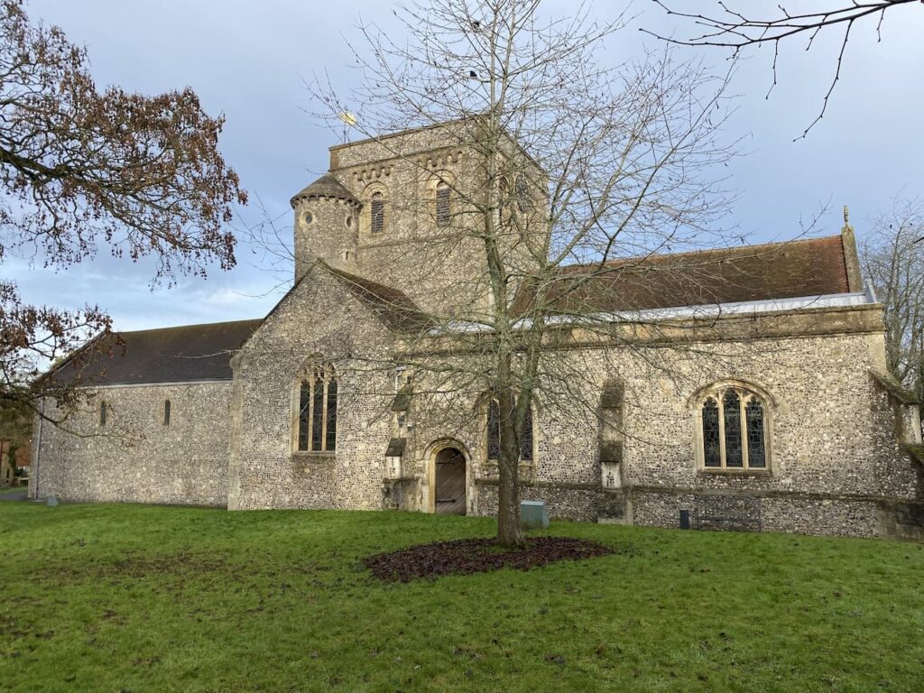
Parts of this church date to the 12th century but most of the current church dates from a rebuild in the 19th century. I take a tour around the churchyard to see if there are any interesting gravestones.
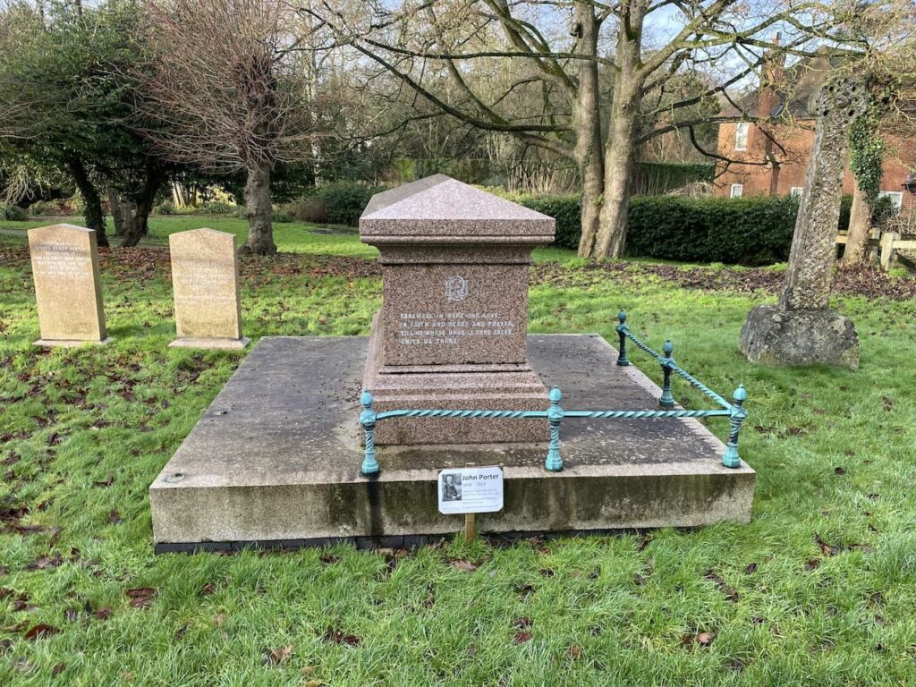
One grave in particular stands out, this is the resting place of John Porter (1838-1922), he was considered the greatest racehorse trainer of the Victorian era. Porter also lobbied the Jockey Club for a racecourse at Newbury. Apparently they declined until Porter gained the support of King Edward VII after which there was a swift change of mind and the now famous Newbury racecourse was approved.
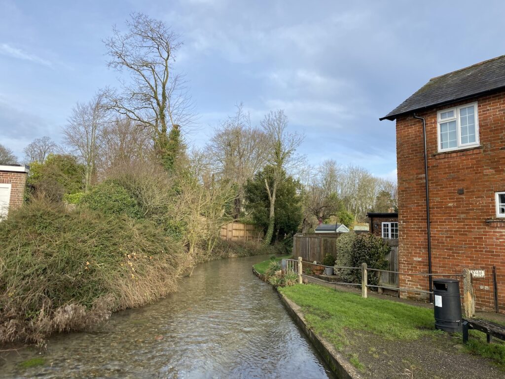
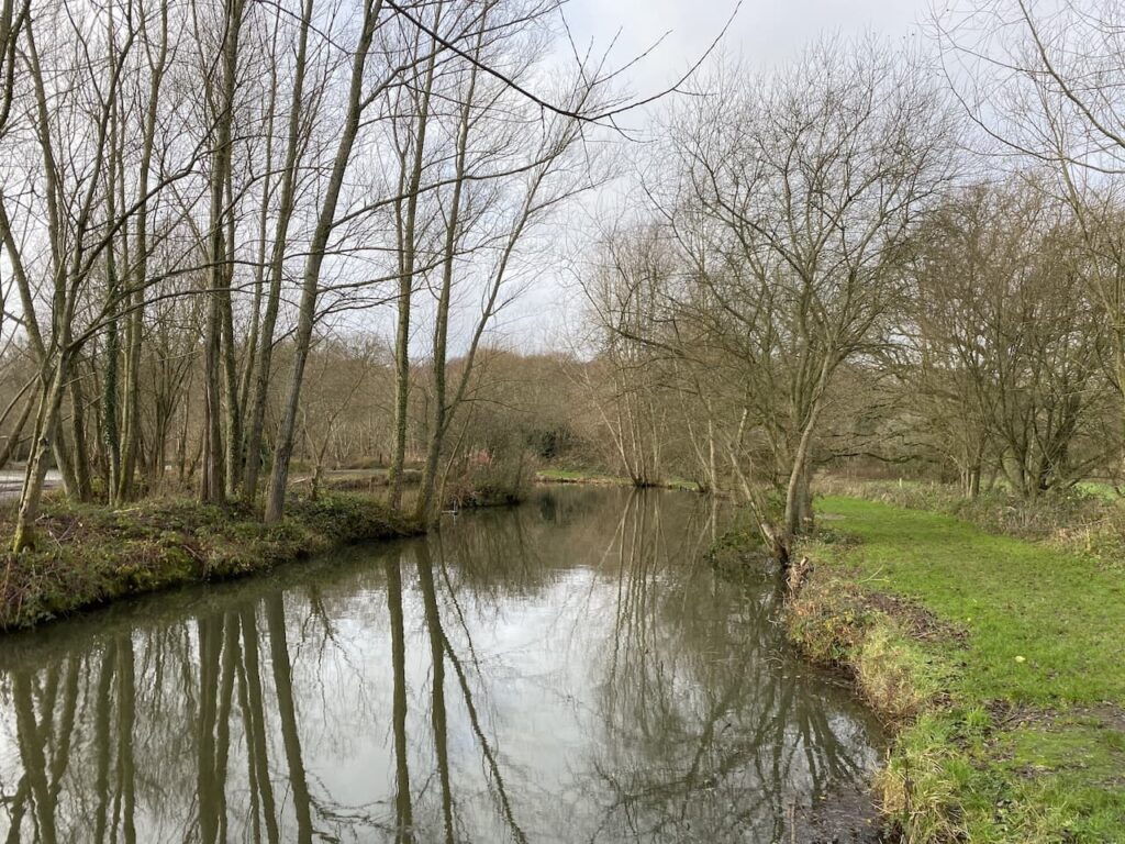
From the church we head south west through the village along Swan Street. At a junction we turn right into Bear Hill and soon cross a stream.
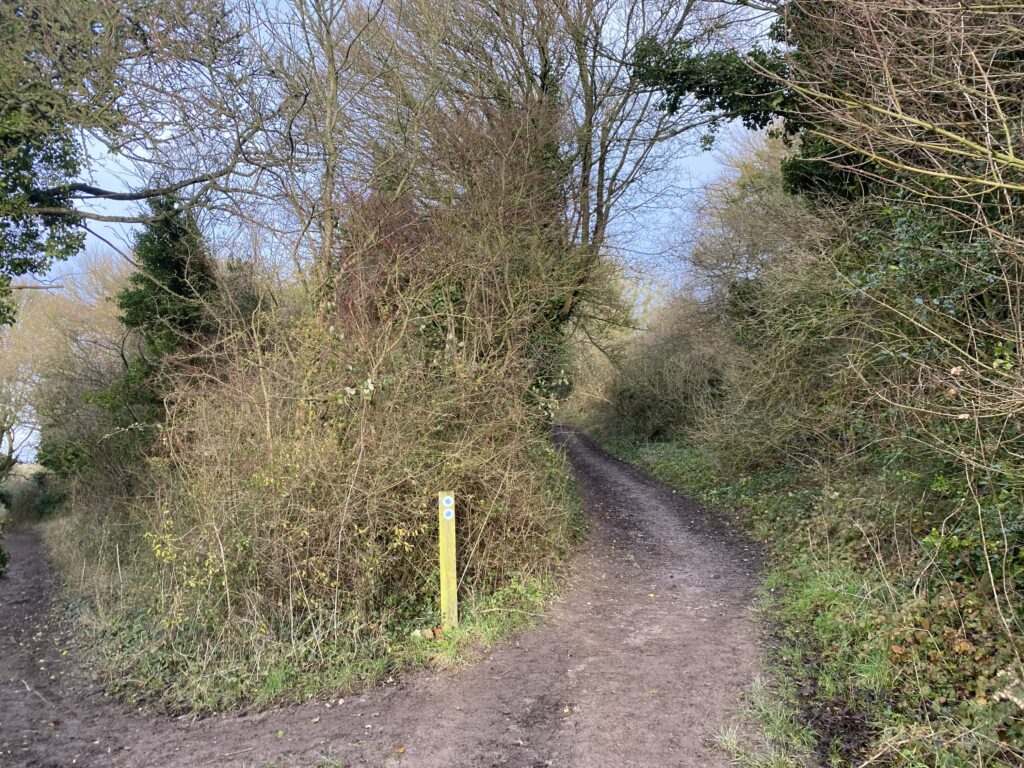
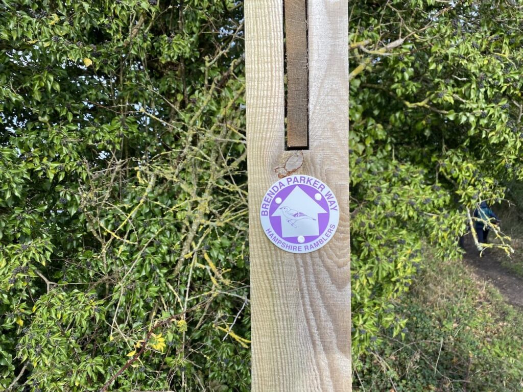
At the top of Bear Lane we turn briefly right into Fox Lane, clearly there is an animal theme to the naming of streets in this village. We are only in Fox Lane for a few yards before taking a footpath on the left. This path is part of the Brenda Parker Way, a 78-mile route across Hampshire from Aldershot to Andover.
This path goes along the edge of a field and skirts Bishop’s Hill.
At a junction of paths by a barn we turn right and head north to a minor road where we turn right and then almost immediately take a path on the left.
We stay with the Brenda Parker Way heading north and keep with it around Frobury Farm passing fishing lakes.
The path skirts the edge of Frobury Park Copse and then goes through Southwood Copse to a crossing of paths. We turn right keeping with the Brenda Parker Way in a northerly direction towards Kisby’s Farm.
We are keeping to the Brenda Parker Way all the way to Burghclere. Near Kisby’s Farm we turn left and continue along a track towards a road which we cross and continue on a track towards Birch Copse and Waterleas Copse. On reaching a minor road we turn right and after a couple of hundred yards turn left along a track.
The track heads between fields towards Pembroke House.
We pass the house going through the grounds, then the path continues along the driveway of the property to reach a minor road which we cross and continue through woodland with a school to our left. At the next road we turn left into Well Lane and walk into Burghclere.
Soon we reach a fork in the road where we go to the right to join Harts Lane and follow this to reach the Church of Ascension where we turn left and pass the village hall and then take a left to enter a park with picnic benches. An ideal lunch spot.
Refreshed we retrace our footsteps towards the church but take a footpath on the left just before reaching it. We are now heading south across fields.
On reaching a minor road we turn right and then very quickly take a footpath on the left and rejoin the Brenda Parker Way.
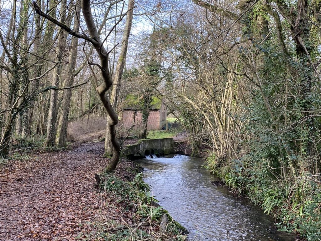
In the field to our left is an old signal box which was part of the former Didcot, Newbury and Southampton railway.
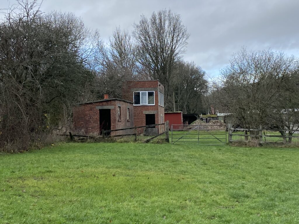
We now turn left to walk along the route of the old railway line which fully opened in 1885. During World War II it was a significant route in moving troops and supplies to Southampton. However after the war the number of trains on the line declined and by 1964 all trains had ceased.
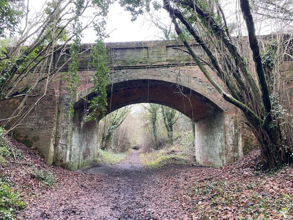
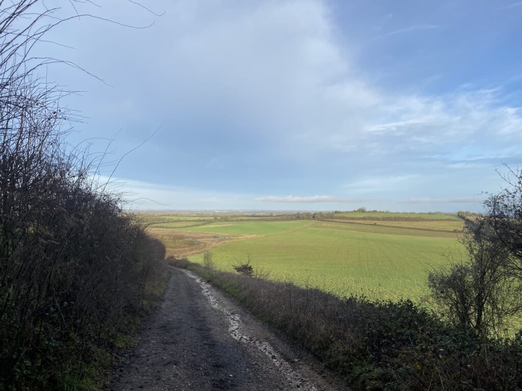
After going under a railway bridge the path goes to the right to rise up to a track which uses the bridge to cross the old railway. Here the Brenda Parker Way goes left, but our route is to the right along a broad track leading towards a minor road.
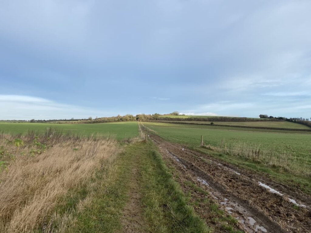
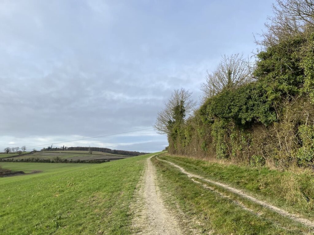
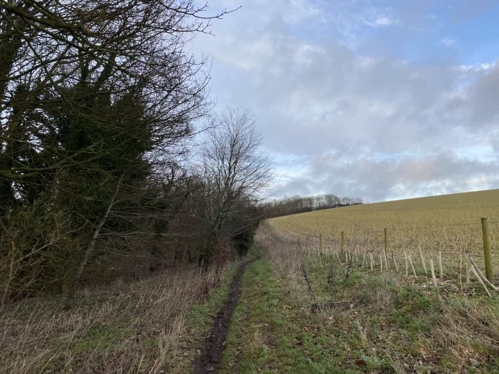
At the road we turn right and head south passing Wergs Farm to reach a road junction. Here we cross the road and continue along a track which soon starts to ascend Ladle Hill.
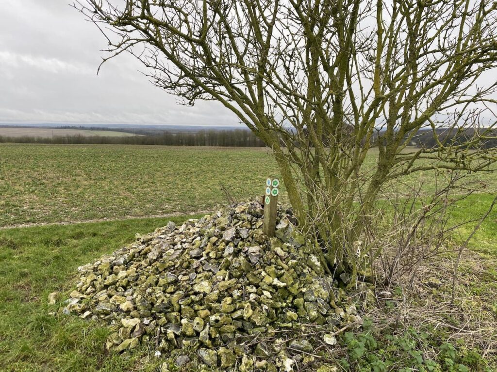
As the path levels out it goes between fields to reach a junction of paths at a flint cairn. Here we turn left to join the Wayfarer’s Way. This is a seventy-one mile long distance path from Walbury Hill near Inkpen in Berkshire to Emsworth on the Hampshire coast.
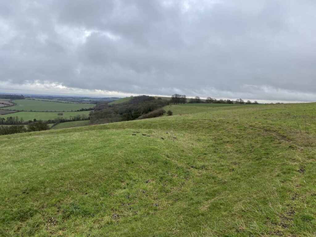
Our route now follows along the Wayfarer’s Way back to the car park. This soon takes us besides the open access land on Ladle Hill where we take a slight diversion through a gate towards the site of the Iron Age Hill Fort. Apparently despite being occupied for hundreds of years this is considered an unfinished fort.
To the north of the ramparts is an interesting disc barrow. On my walks I have visited numerous barrows and tumuli but I can’t recall seeing a burial mound like this one.
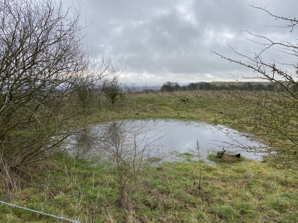
We head back to the gate and pass a dew pond, these ponds are regular features on chalk downs. They are man-made being excavated and then lined with clay so rain water is captured to provide drinking water for livestock.
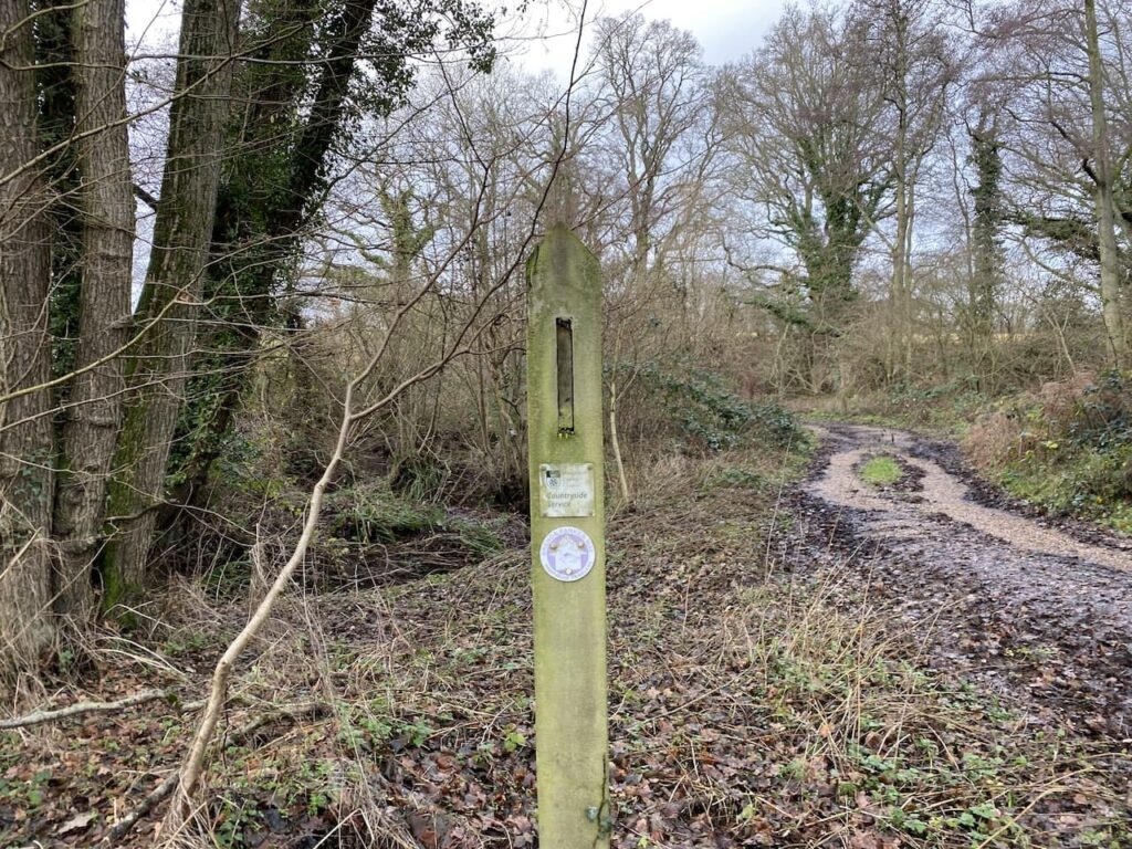
Heading east we reach a junction of paths and turn left and then right through a gate with a collection of way-markers showing that along with the Wayfarer’s Way we are now also on the Three Shires Link and the Watership Down Trail.
Watership Down Trail is a twenty-four mile circular walk from Whitchurch, so something to do later in the year when the days are longer.

We now head through a field and descend to join a track where we turn left and then reach a minor road. Crossing the road we join a footpath on the opposite side heading steadily uphill to Watership Down.
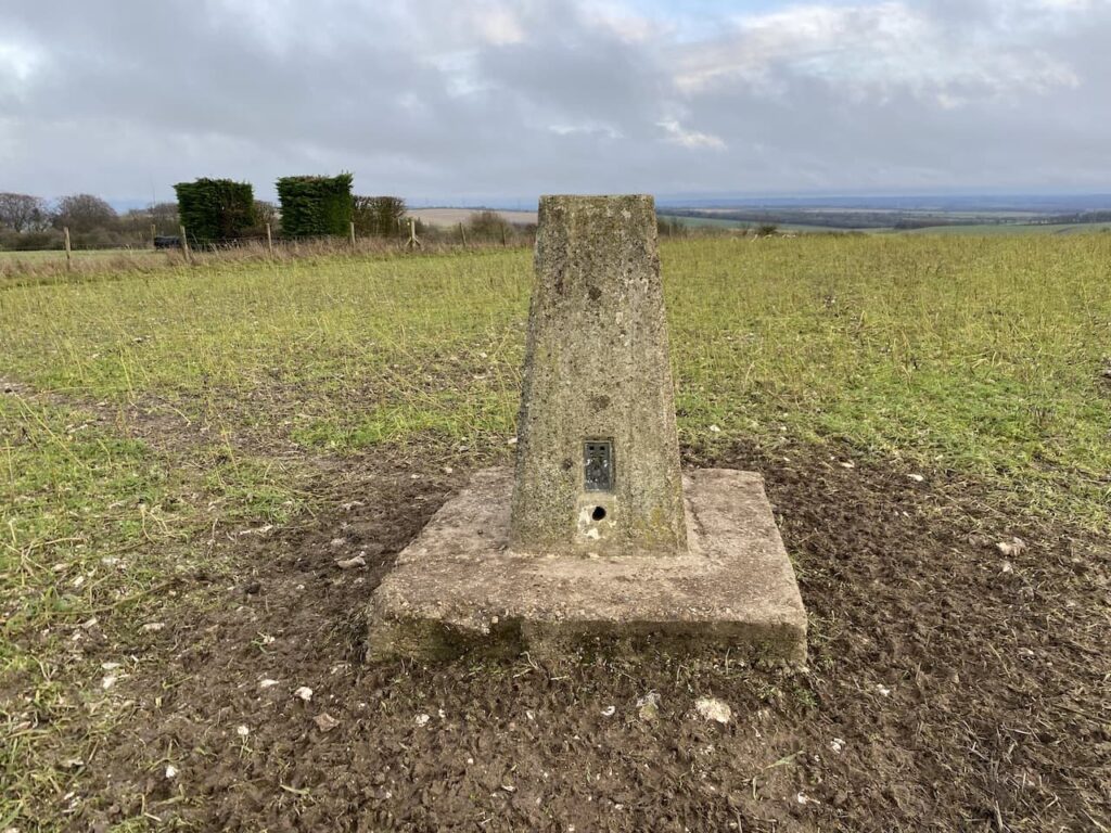
After going through a gate we follow the fence line and then I hop over and walk across the stubble to bag the Watership Down trig pillar that sits just inside the field.
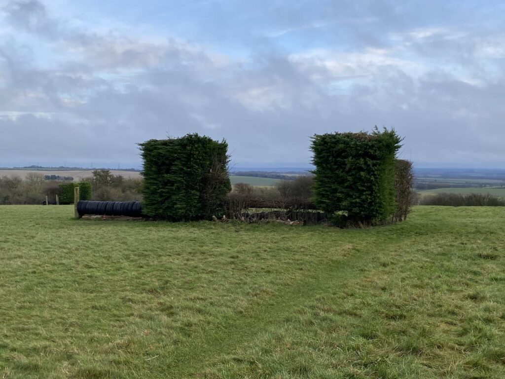
Back on the footpath we pass jumps on the gallops and then join a track heading east.
Watership Down was of course made famous by Richard Adams’ book of the same name. It was Adams’ first book and apparently was rejected by all the major publishers before being accepted by Rex Collings who published it in 1972.
In 1978 it was adapted into a feature film and the story of the rabbits on the Down became very well known. Strangely despite rabbits being the focus of the book we have not seen a single one today.
The track we are on goes between gallops and continues all the way back to our starting point in the White Hill car park.
Back at the car we have completed a sixteen mile circuit. It has been a cracking walk in unfamiliar countryside, I am sure we will revisit this area before too long.
To follow my walk, you will need Ordnance Survey Explorer Map – 144 – Basingstoke, Alton & Whitchurch, Odiham, Overton & Hook; and OS Explorer – 158 Newbury & Hungerford
You can view this 16.3 mile walk and download the GPX File on OS Maps (OS Maps subscription required)
6th January 2023
© Two Dogs and an Awning (2023)
All information on this site is provided free of charge and in good faith and no liability is accepted in respect of damage, loss or injury which might result from it. To the best of my knowledge the routes are entirely on public rights of way or within areas that are open for public access.
Walking can be hazardous and is done entirely at your own risk. It is your responsibility to check your route and navigate using a map and compass.