

After bagging Withypool Common trig point yesterday at Brightworthy Barrow I plan to add two more to my list today and have the trigs at Shoulsbury Castle and Five Barrows in my sights. The starting point for my walk is a parking area besides the B3358 just a few hundred yards to the south east of Goat Hill Bridge (Grid Ref: SS724403).
It is another of those days when I know I will get wet at some point, but leaving the car the sky is clear and there looks to be no imminent threat of rain. I start along the road to cross Goat Hill Bridge and then continue uphill to reach the Edgerley Stone.
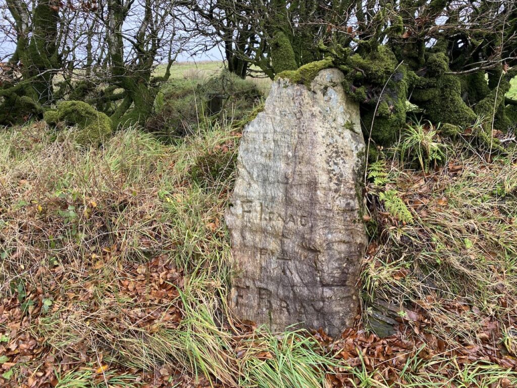
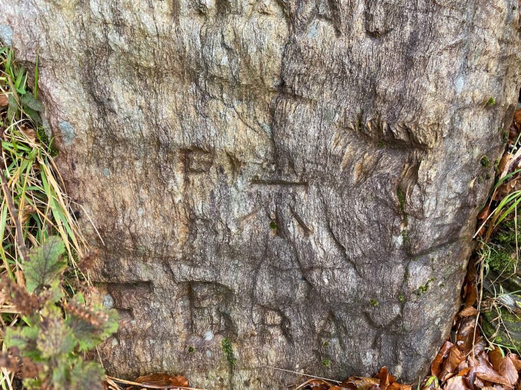
This is an ancient boundary stone marking the border of Somerset and Devon. According to the Historic England website it is recorded on maps of Exmoor as far back as 1207 but remains in good condition. On the stone is a clear Ordnance Survey benchmark and the names F Issac and F Bray are carved on the stone.
After passing the stone I continue along the road, now in Devon, and after a hundred yards take a bridleway on the left signposted to Mole’s Chamber.
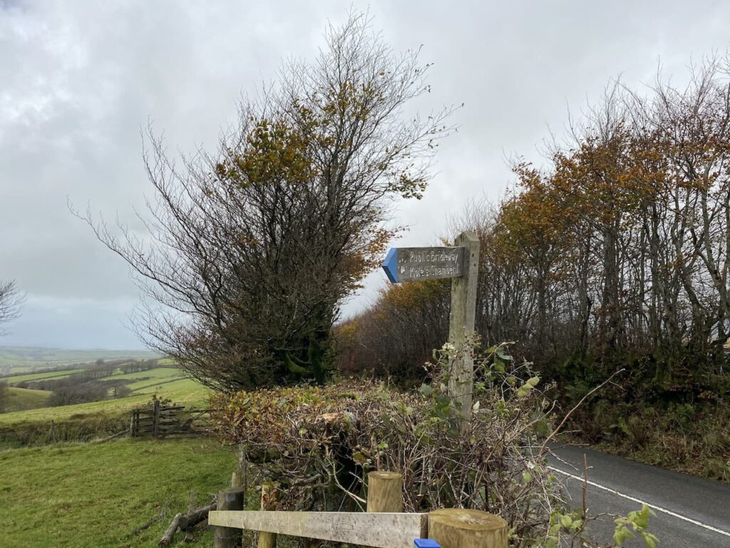
I have joined the Tarka Trail, a long distance path covering 180 miles in Somerset and Devon, it is a circular route and I have previously walked long sections of it around Bideford and Great Torrington.
As I start heading uphill the wind that has been battering me for a while is suddenly accompanied by horizontal rain. So after a quick rummage in the rucksack my full waterproof gear is put on. The path is easy to follow and continues through a gate and heads down towards Lew Combe.
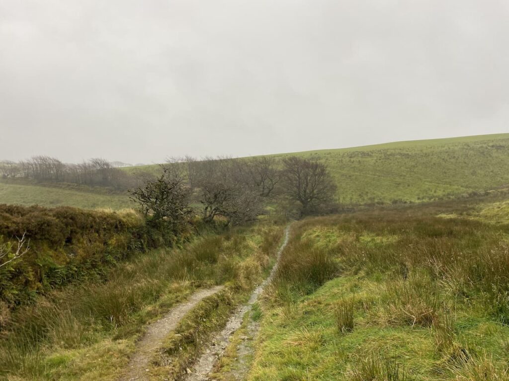
It was my intention to take a turning on the right and follow the hedge line up along the edge of the access land to reach Shoulsbury Castle and the OS trig pillar. However, the ground is very boggy and the route goes west straight into the wind and rain, which is now interspersed with hail. It is not often that I abandon a route to a trig, but I decide there is no enjoyment in walking straight into a hail storm. The trig has been there for many years and should still be there when I visit again in 2021 so I stay with the track and start to head uphill.
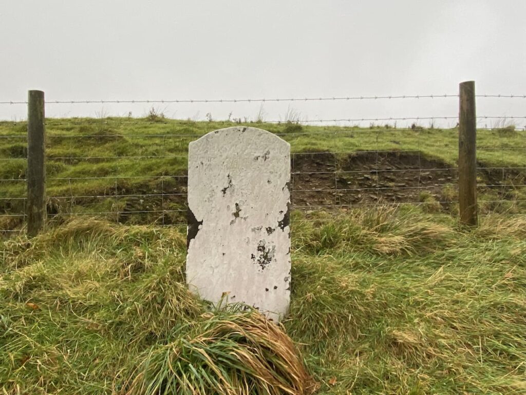
I reach the Sloley Stone, another boundary stone marking the border between Devon and Somerset and it also once marked the western edge of the Forest of Exmoor. There are records of this stone dating back to 1678.
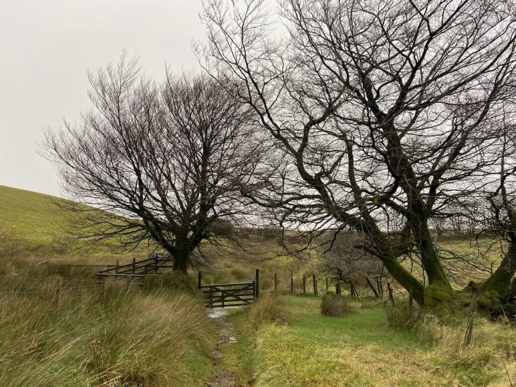
There is a footpath on the left towards Mole’s Chamber, but instead I stay with the Tarka Trail to pass a barn and then reach a minor road where I turn left.
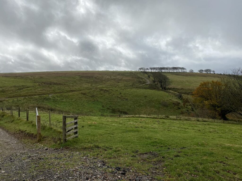
Following the road, still on the route of the Tarka Trail, I gradually ascend gaining panoramic views across the moor which are impressive even in the poor visibility.
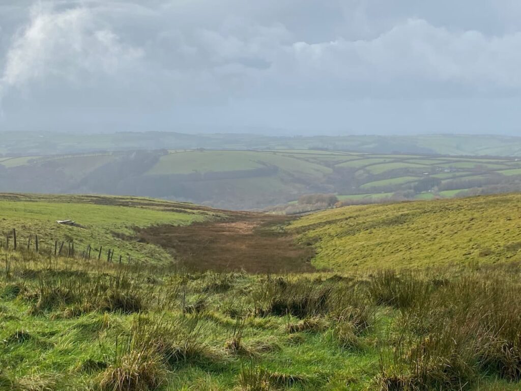
I stay with the road to reach a gateway to Five Barrows ancient monument.

Going through the gate I follow a boggy path with a fence to my right, as I head up I spot cattle. Usually if cattle are some way off I am not too bothered, but these take what looks like an unhealthy interest in us. So I decide not to risk an encounter with a frisky herd whilst I have Crosby with me and instead turn around and retrace my steps back downhill to the road. In doing so I abandon any hope of bagging Five Barrows Trig Pillar today. At the road I turn right and head towards Kinsford Gate.

On reaching Kinsford Gate I turn left at the crossroads and follow the road downhill to cross a stream. The road then rises and I stay with it to pass the entrances to Kinsford and Emmett’s Grange. At a Restricted By-Way signed to Cornham Farm on the left I leave the road and head onto the moor.

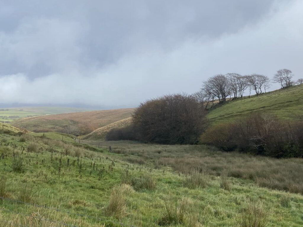
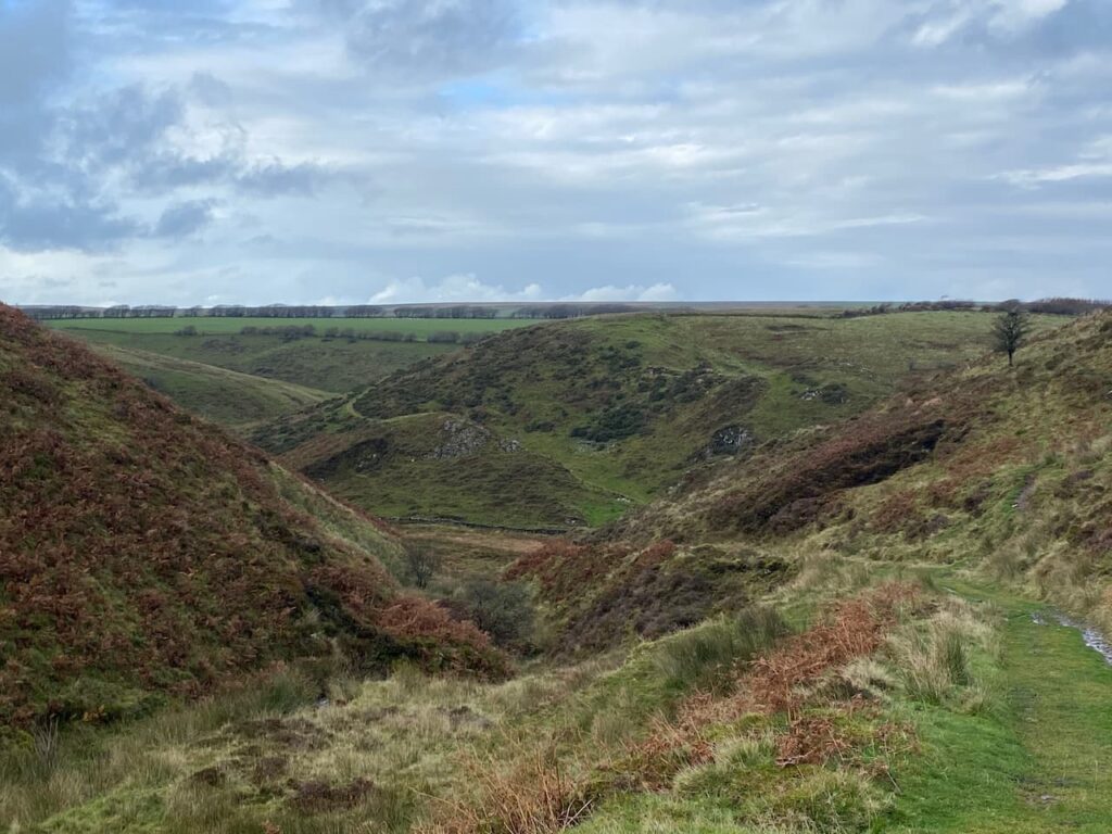
This is an easy path and it is also an attractive route as it descends into Burcombe heading towards a river.
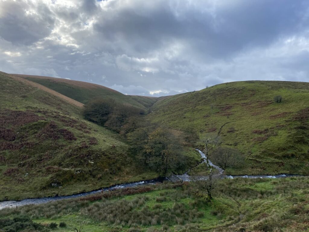
I cross the river via a footbridge. This is a very tranquil spot and fully makes up for the disappointment of missing out on two trigs today.

After crossing the footbridge I follow a path to a gate and go through to follow an uphill farm track giving fine views of the river below.
At a gate I follow the way-markers to the west side of Cornham Farm and then go through a couple of gates to reach the farm driveway where I turn left and walk towards the B3358.

On reaching the road I have two choices, either to follow my original plan and head straight across to walk a route around the moor and back to Goat Hill Bridge, or turn left and walk along the road. My preferred option would be to avoid the road, but the walk has taken longer than I anticipated and I am not confident I will get around the moorland route before the light fails. So reluctantly I turn left and walk besides the road for a mile and a half to get back to my starting point. Fortunately there is very little traffic so it is not too bad.
I arrive back at the car just as another band of rain is coming in, so hastily Crosby and I are in the car and heading back to Minehead to plan tomorrow’s trip out. My walk has covered 8.5 miles and has been enjoyable despite not reaching the planned trig points and walking further on roads than originally planned.
To follow our walk you will need Ordnance Survey Outdoor Explorer Map OS9 Exmoor
You can view this 8.5 mile walk and download the GPX File on OS Maps (OS Maps subscription required)
28th October 2020
© Two Dogs and an Awning (2020)
All information on this site is provided free of charge and in good faith and no liability is accepted in respect of damage, loss or injury which might result from it. To the best of my knowledge the routes are entirely on public rights of way or within areas that are open for public access.
Walking can be hazardous and is done entirely at your own risk. It is your responsibility to check your route and navigate using a map and compass.