Over the last couple of years my walking buddy Mandy and I have been brushing up our navigation skills by attending the National Navigation Award Scheme courses run by Nigel from New Forest Navigation. So far we have achieved the Bronze and Silver awards and will soon be heading off to the Brecon Beacons for the Gold course.
I quickly realised that the skills learnt on the courses needed to be frequently used to ensure they embedded. So today Mandy and I are heading out into the New Forest with map and compass whilst leaving our electronic navigation devices in our rucksacks.
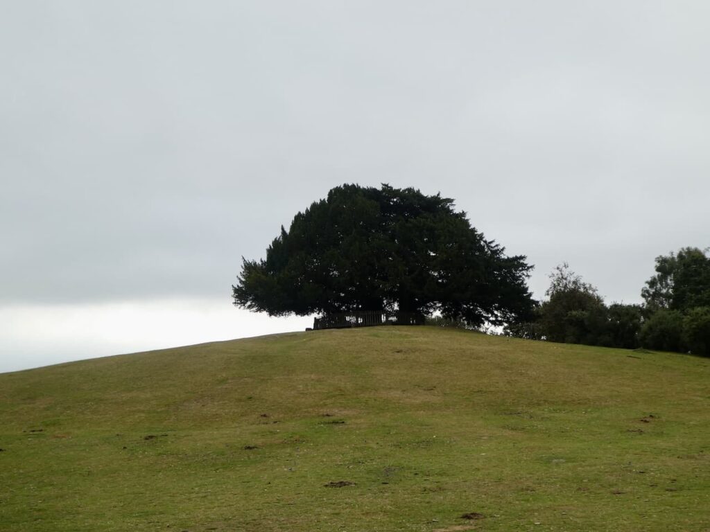
The starting point for our walk is the Bolton’s Bench car park, this is just off the A35 near the centre of Lyndhurst (Grid Ref: SU 303081). From the car park we head across the grazing land gradually ascending to Bolton’s Bench. This circular bench around Yew Trees on top of a natural hillock dates back to the 18th century and commemorates the Duke Of Bolton, whose family were apparently Master Keepers of the Burley Bailiwick.
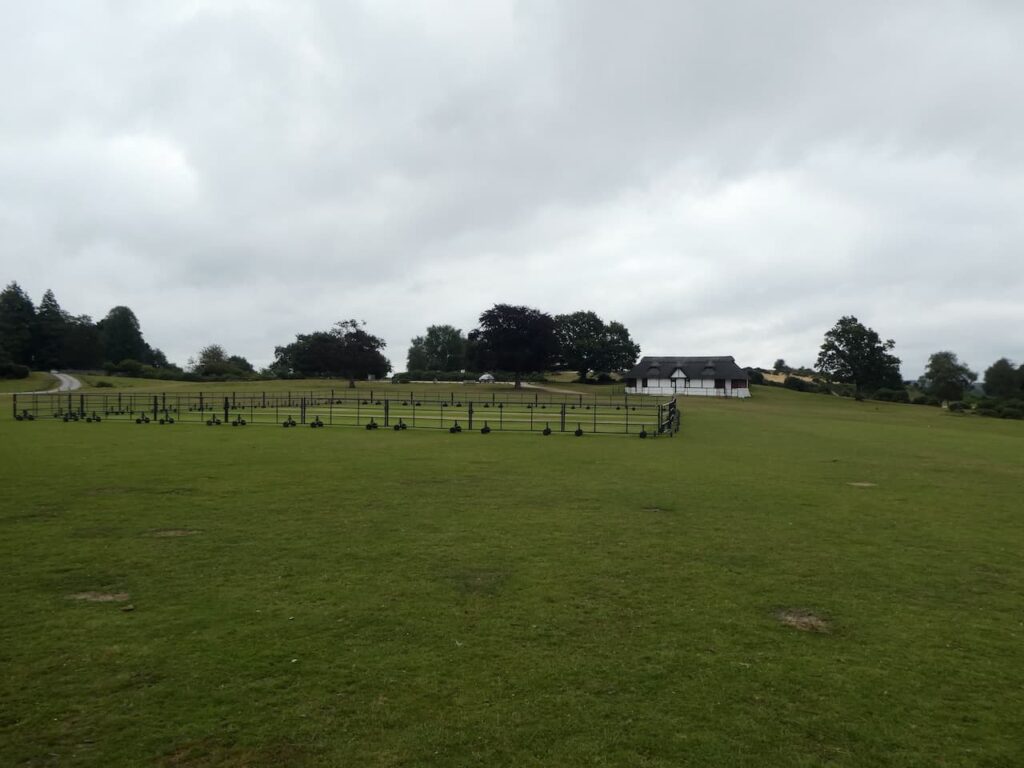
To our left is the Lyndhurst and Ashurst Cricket Ground, in the past I played cricket on a number of Forest pitches but this is one I never visited. It is a cracking location and has a stunning old thatched pavilion.
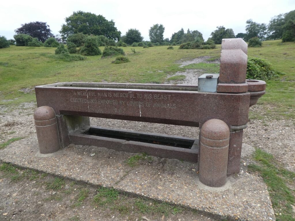
After passing the pavilion we soon reach a sandy area and head uphill to reach a fine water trough with and inscription indicating it was installed in 1902.
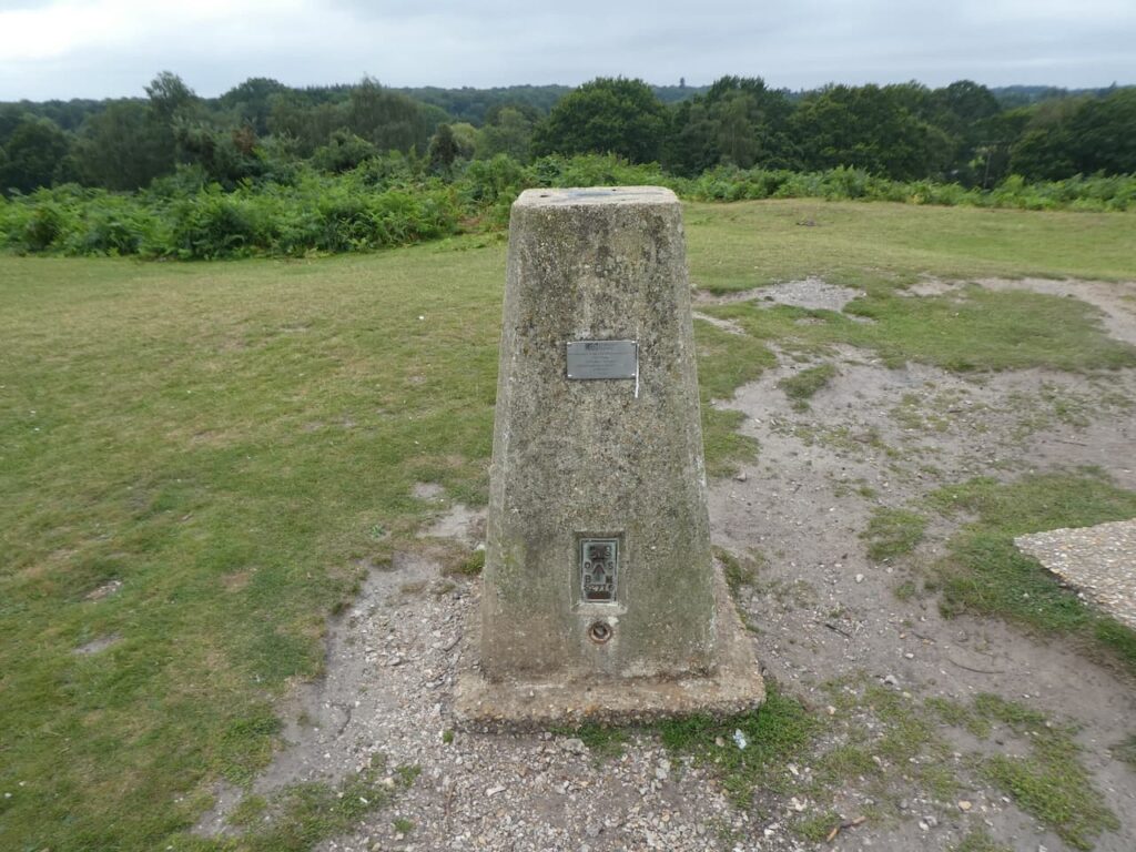
Close to the water trough is the Lyndhurst Trig Pillar, this was my 236th trig when I bagged it last December.
We are now heading in an easterly direction along a broad ridge, marked on the map as Park Pale. Apparently this bank was the edge of a medieval deer park which is recorded as far back as 1291, on top of the ridge stood a paling fence which enclosed deer in the Lyndhurst Old Park. This is one of the benefits of following a map, you spot references that could easily be missed if just following a line on an electronic device.
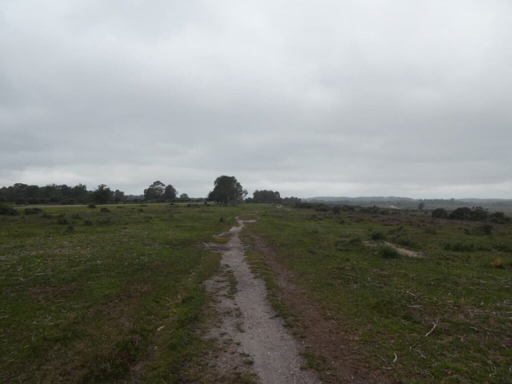
As the path nears a minor road we keep to the left of it and then follow a path around Matley Wood.
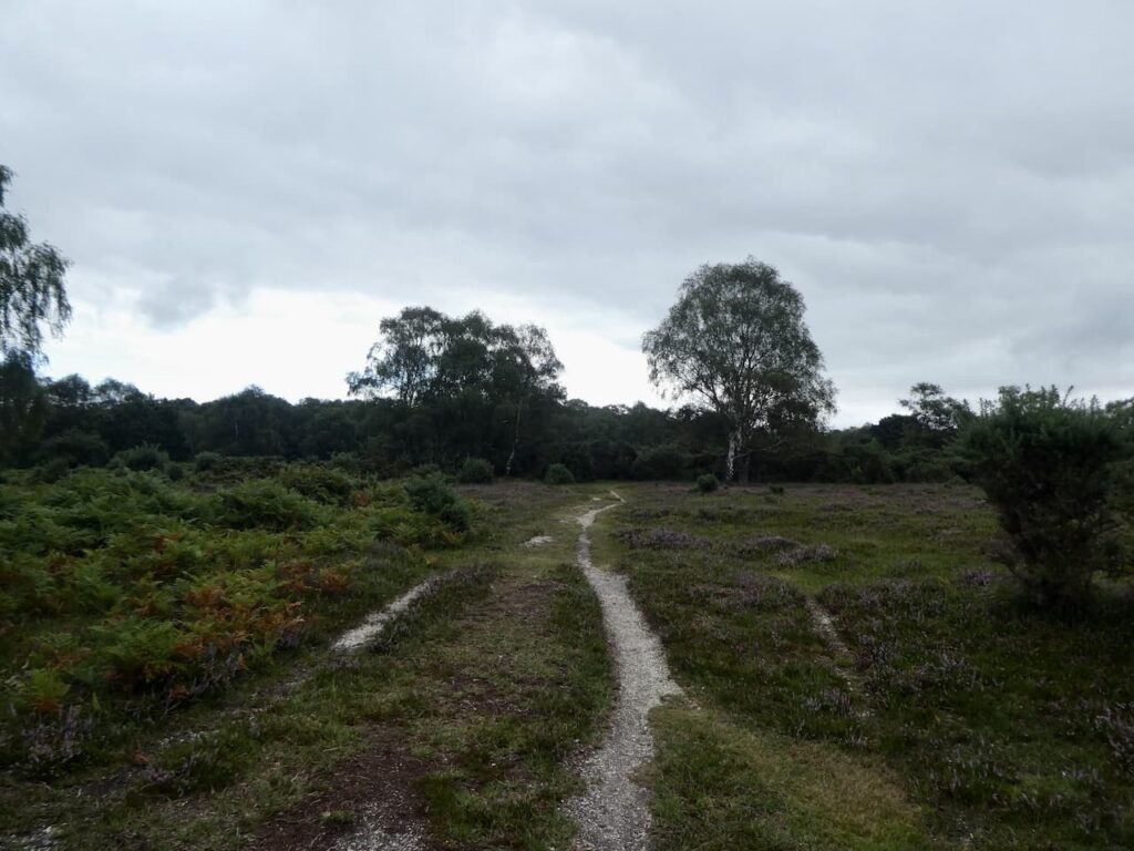
After passing around the side of the woods we cross a footbridge on King’s Passage and soon turn left to cross open land towards the railway line at Fulliford Passage.
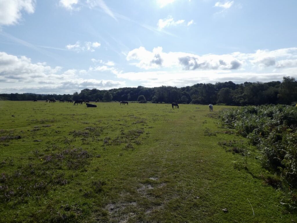
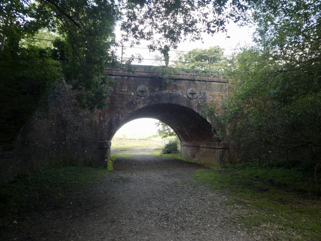
We don’t go through the railway bridge but instead turn to the right and walk parallel to the line and then on reaching another bridge go under the railway line.
We now head east towards Decoy Pond Farm and then at a junction of paths fork to the right and follow a broad path towards the OS trig pillar on Yew Tree Heath.
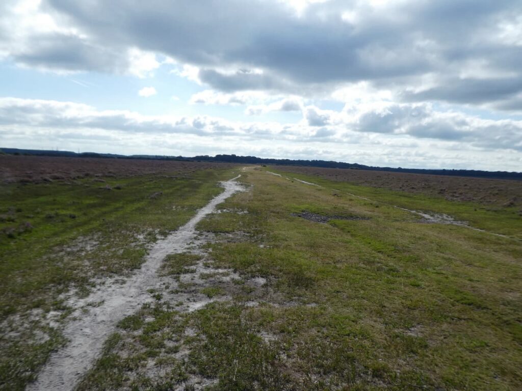
The trig is close to the track so easily located.
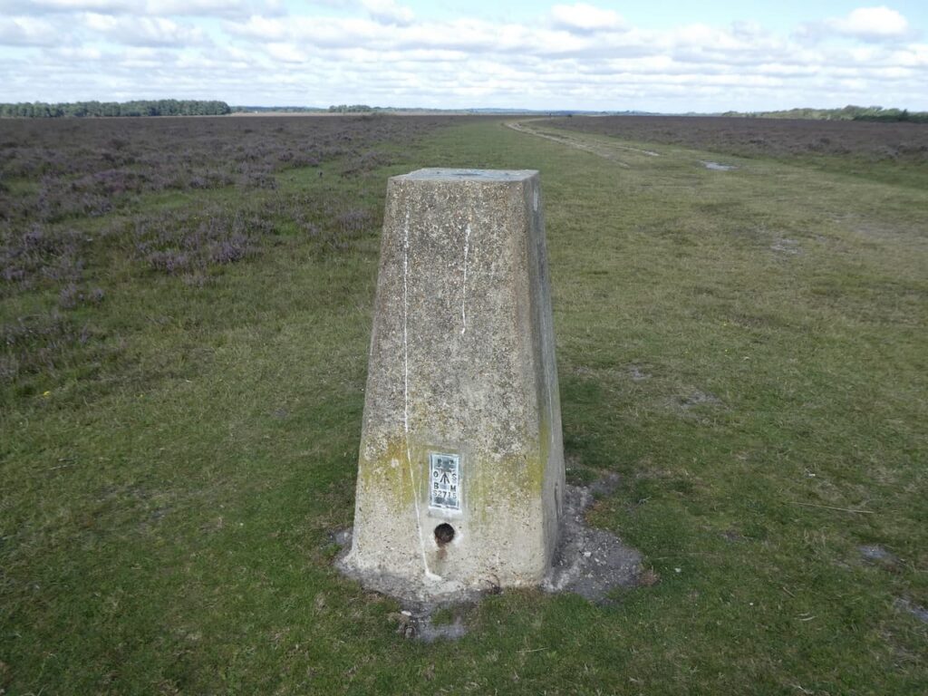
Soon after passing the trig we reach a driveway to a parking area and turn right to reach a road which we cross and then continue heading south to go through a copse at the edge of Ferny Crofts.
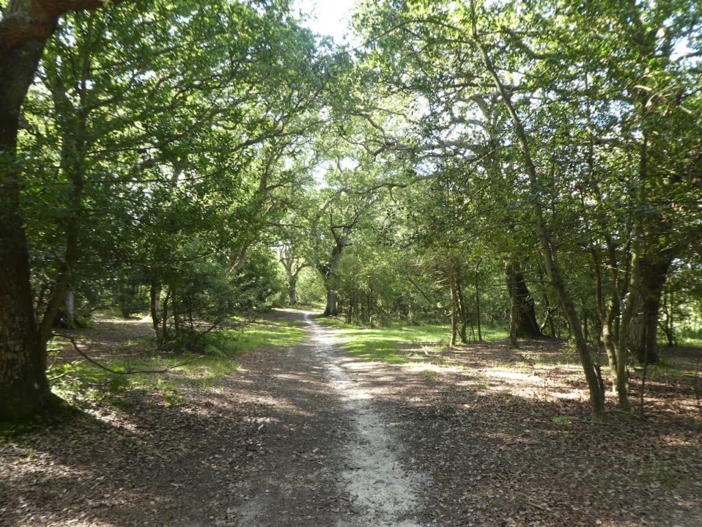
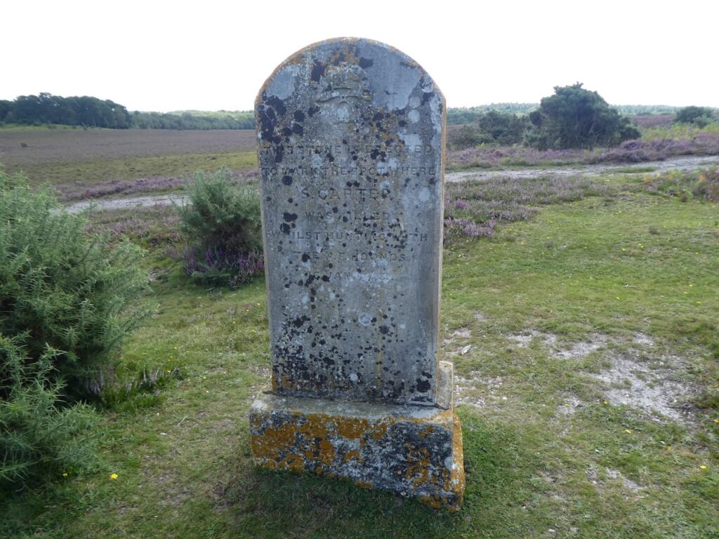
At a boundary we turn left and follow a path through trees and out onto open heathland which is marked on the map as Gurnetfields Furzebrake. Along this ridge the map shows the location of a monument so we divert from our route to explore. “This stone is erected to mark the spot where S Carter was killed whilst hunting with the N F hounds 16 Jan 1883” This is historically interesting, but I have never been a supporter of hunting with hounds and welcome the fact it is no longer legal.
Returning to the main path we continue along the ridge and follow the path as it veers south and then heads east again to cross North Lane. Our route continues heading east along an attractive forest path.
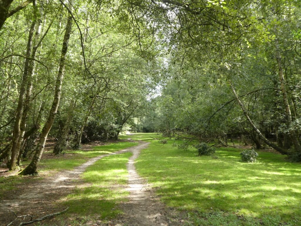
We stay with this track as it heads onto Beaulieu Heath going towards Beaulieu Road, just before reaching the road we head south to bag the Ordnance Survey Trig point at Hill Top. This is a slightly odd name because it sits on a large plateau and is only 40 metres above sea level. A more accurate name would be “Little Hill Top” trig pillar. When I first bagged this trig last December it was my 238th.
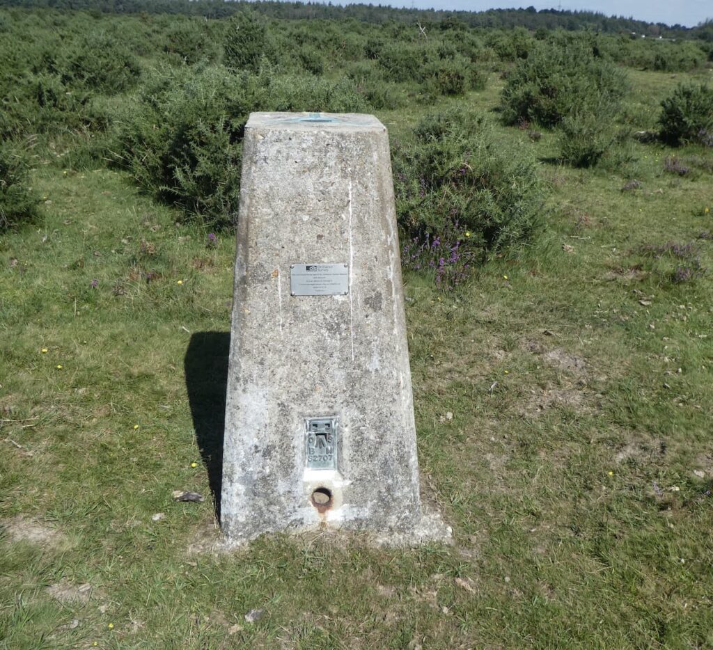
From the trig we retrace our steps rejoining the main track and following it for a couple of hundred metres before turning to the right and heading north towards Dibden Inclosure.
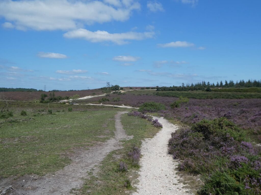
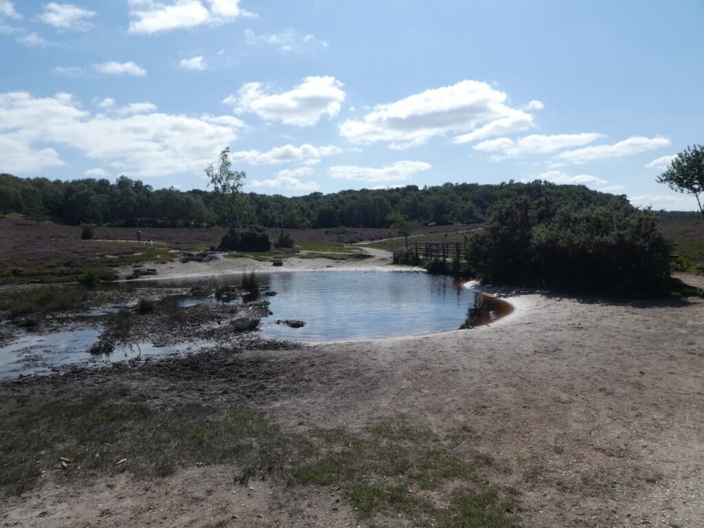
The track heads down to cross a footbridge beside a pond and then at a junction of paths we turn right and head north.
We are now following a broad track with expansive views away to the west.
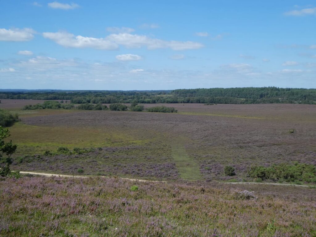
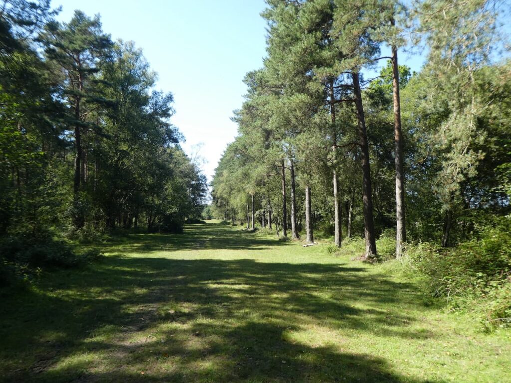
The route skirts the edge of woodland and then drops to cross a minor road before heading into Marchwood Inclosure through Sleepy Hollow. We now follow a path along a wide avenue of trees as we head to the northern edge of the inclosure.
We stay along the edge of the inclosure to reach a minor road which we cross and continue along the edge of the woods towards Foxhill Farm. Today the ground is firm underfoot but when I walked this route in the winter it was very boggy.
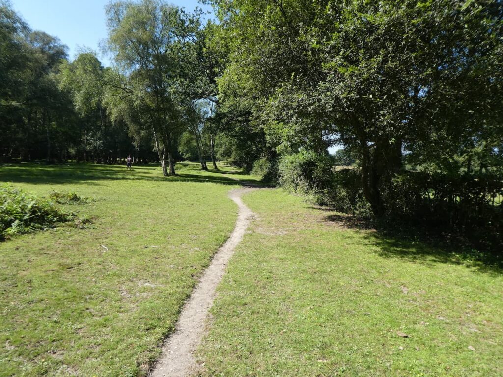
After passing Foxhiil Farm we stay close to the fence line until we reach a minor road near the edge of Longdown Inclosure. Turning left and then very quickly right we follow a path around the northern edge of the inclosure, this leads to a car park where we turn left on a broad track besides the woods.
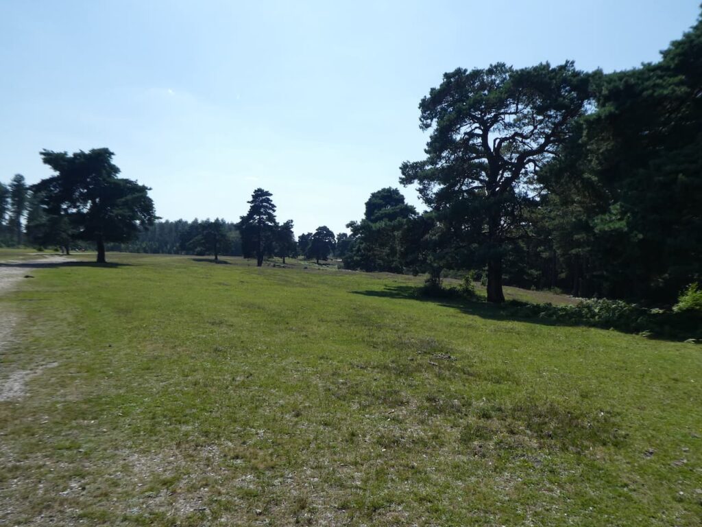
At a junction of tracks, close to the railway line we turn right and head in a northwestern direction through Deerleap Inclosure.
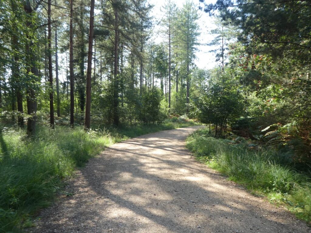
At a fork in the track we go left and soon turn left again to cross the railway line and continue towards Ashurst Lodge. On reaching the tarmac driveway to the Lodge we turn right and walk beside the single track driveway towards the A35. Shortly before reaching the road we turn left to follow a grassy path beside trees to head south towards Beaulieu River on Longwater Lawn.
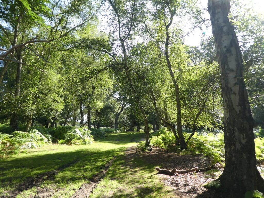
We cross the river on a footbridge and then turn right and follow a clear path through Foxhill Moor. This path enters trees and then turns to the left to head south towards Lyndhurst cemetery.
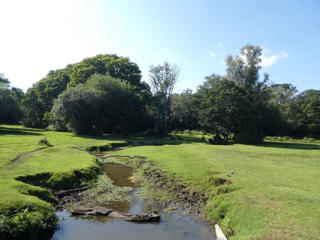
We skirt around the cemetery and follow the driveway back to the car park. Our nineteen mile route has been interesting and we have only used the map and compass. Like many walks in the New Forest this one is difficult to describe because there are multiple options of paths which appear on the ground but are not shown on the map. I therefore suggest that if you plan to follow this route you download the GPX file or make sure you mark up your paper map before setting off.
To follow my walk, you will need Ordnance Survey Explorer Map OL22 – New Forest
You can view this 19 mile walk on OS Maps and download the GPX File Here
26th August 2021
© Two Dogs and an Awning (2021)
All information on this site is provided free of charge and in good faith and no liability is accepted in respect of damage, loss or injury which might result from it. To the best of my knowledge the routes are entirely on public rights of way or within areas that are open for public access.
Walking can be hazardous and is done entirely at your own risk. It is your responsibility to check your route and navigate using a map and compass.
