

Over recent years I have walked extensively on Cranborne Chase. It is a wonderful landscape to trek around, with far reaching views from the ridges and interesting villages in the valleys. I feel I know the area reasonably well, but there are still paths I have not trod. So today I am going to include some of these in my wander around.
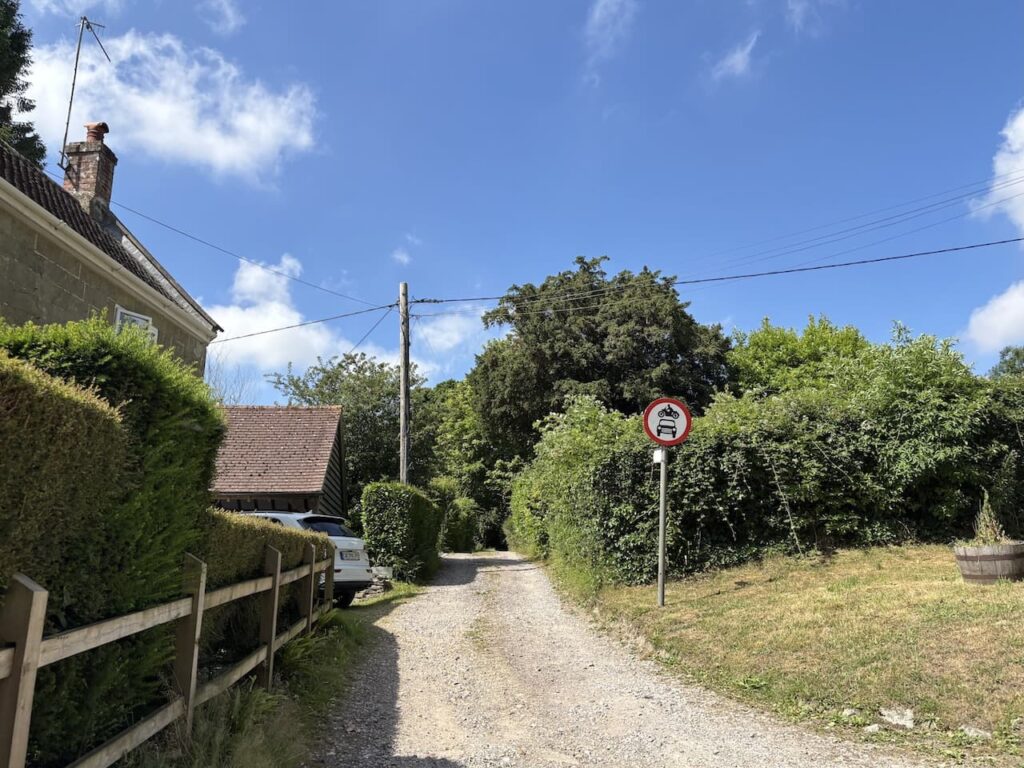
The starting point for my walk is a small parking area beside the Old Shaftesbury Drove, OS Grid Ref SU003267, What3Words ///foiled.stale.contrived. The drove is used by farm machinery and other vehicles so I ensure I leave plenty of room for vehicles to pass. From the car I head off along the drove walking away from the road.
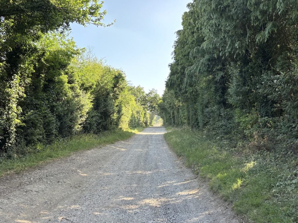
I soon pass the first of three sets of no longer used poultry houses.
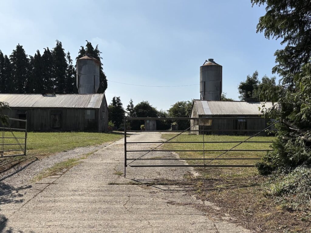
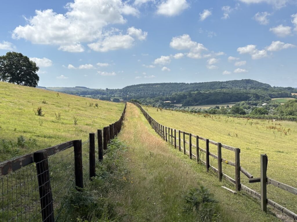
Dating from medieval times the Old Shaftesbury Drove was the main route between Salisbury and Shaftesbury and drovers would lead cattle and livestock along this route. These days it is a popular route for people who gain pleasure from driving their 4X4 vehicles along country tracks. Fortunately today I don’t encounter any vehicles as I continue along to pass all three sets of poultry houses and then reach a metal gate on the left where I leave the drove and join a byway.
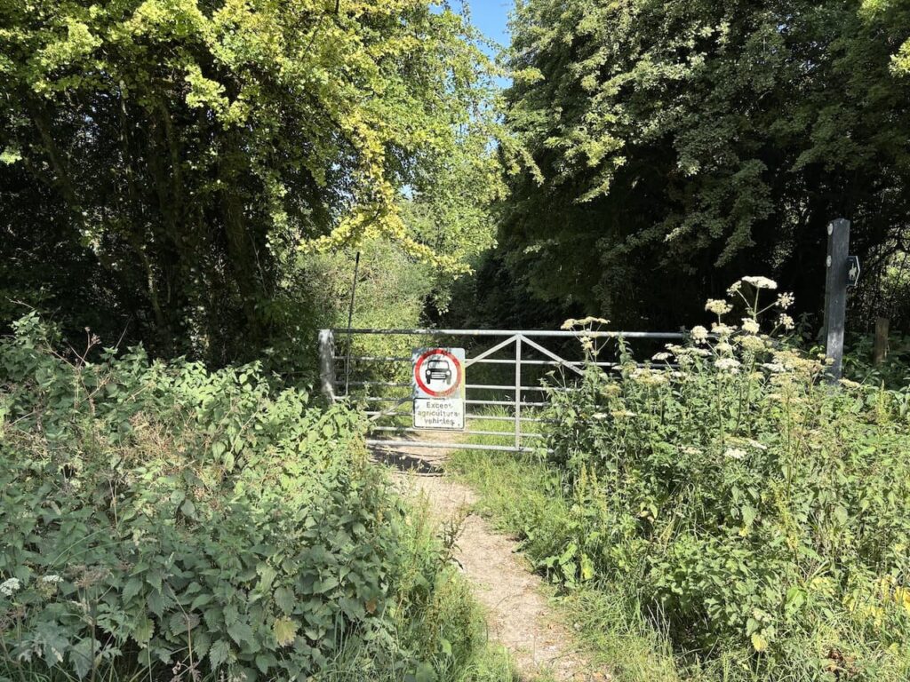
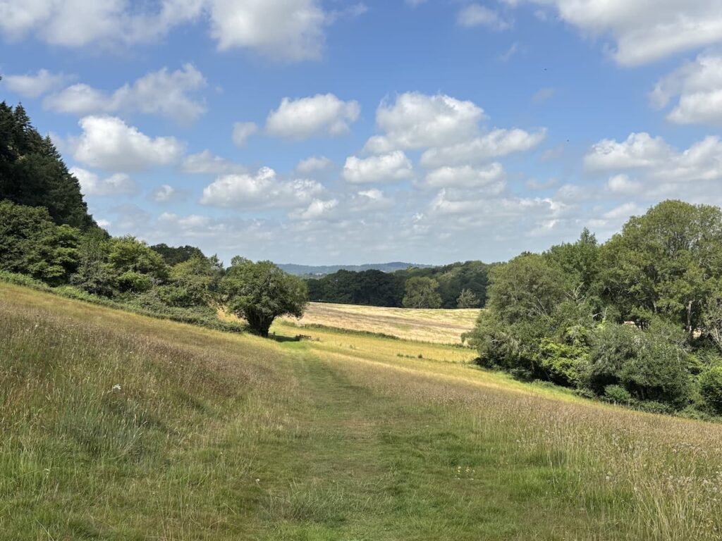
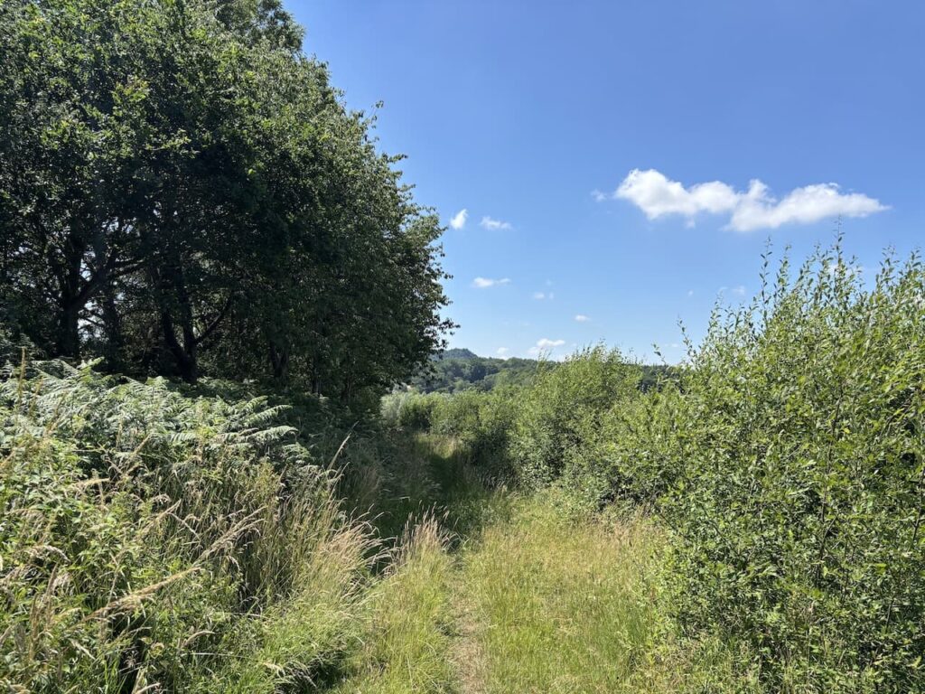
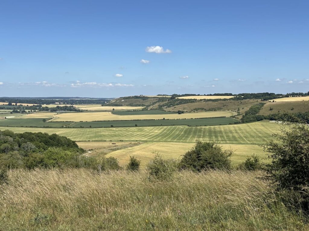
The path initially goes through bushes and then opens out onto stunning views across the Vale of Wardour.
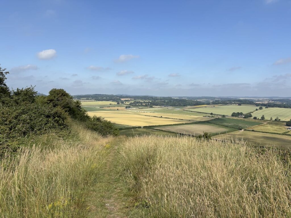
At a junction of paths, just as the route starts to descend more steeply I go right and follow a well worn track descending across Fovant Down with glimpses of the Fovant Badges in front.
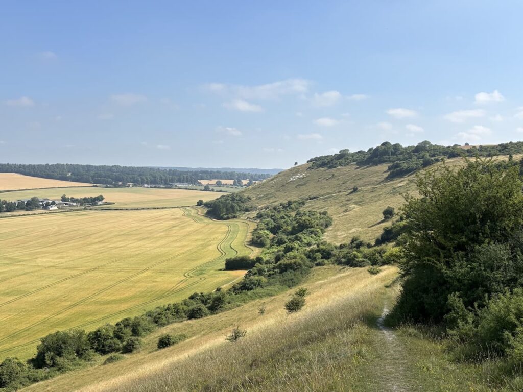
At the Bottom of the hill I go through a gate and follow a path across a field towards Fovant. The fields in this valley were used during World War I as training camps for British and Australian serviceman before they were taken to France to fight the German army.
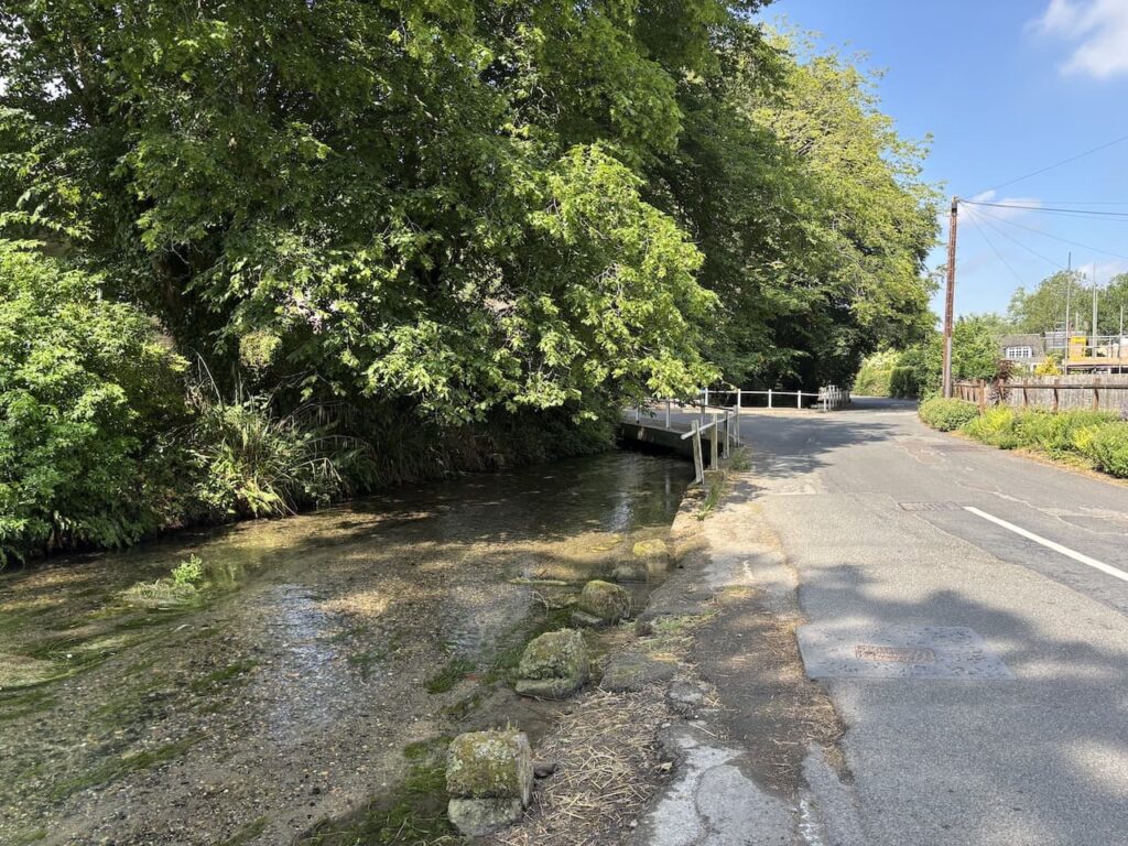
After going through two more gates I reach a lane and turn left and walk into Fovant and reach the A30. After crossing with care I pass the village pub, The Greater Good, and village shop. Continuing through the village I fork left at the village hall to join Tisbury Road and walk beside a stream.
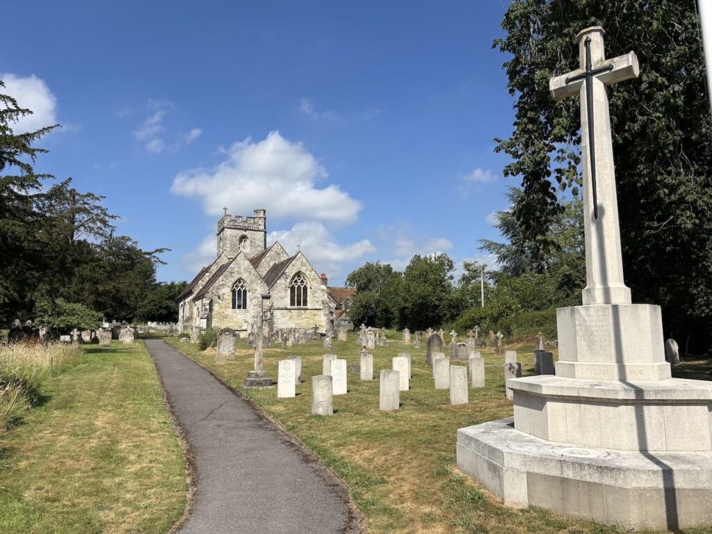
I stay with the road through the village until I reach a crossroads where I go right into Church Lane and wander along to St Georges church. This church was extensively altered in 1863 but retains some of the original Norman church. The churchyard contains the graves of sixty-three Commonwealth servicemen.
Leaving the church I retrace my steps to the crossroads and turn right to walk along Moor Hill until I reach a byway on the left.
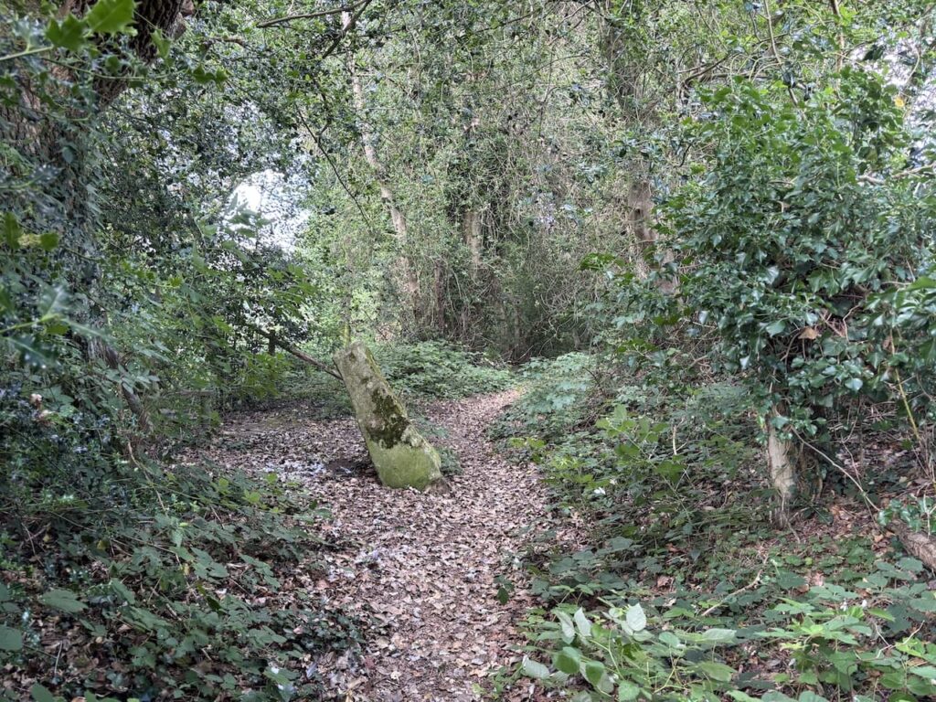
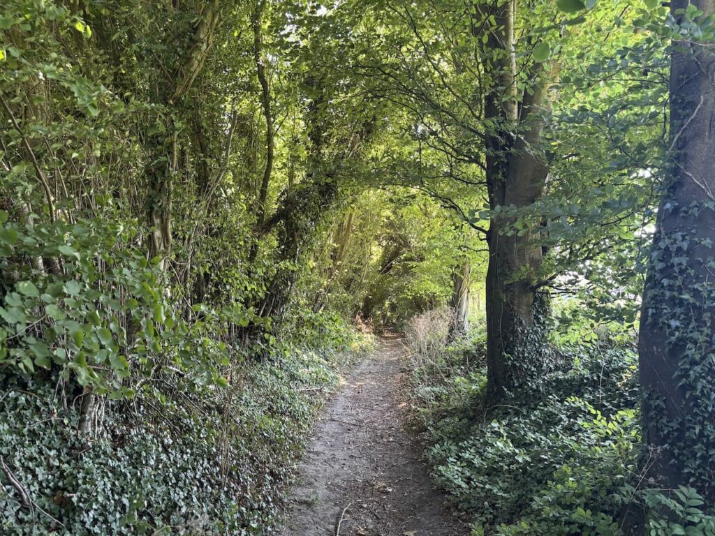
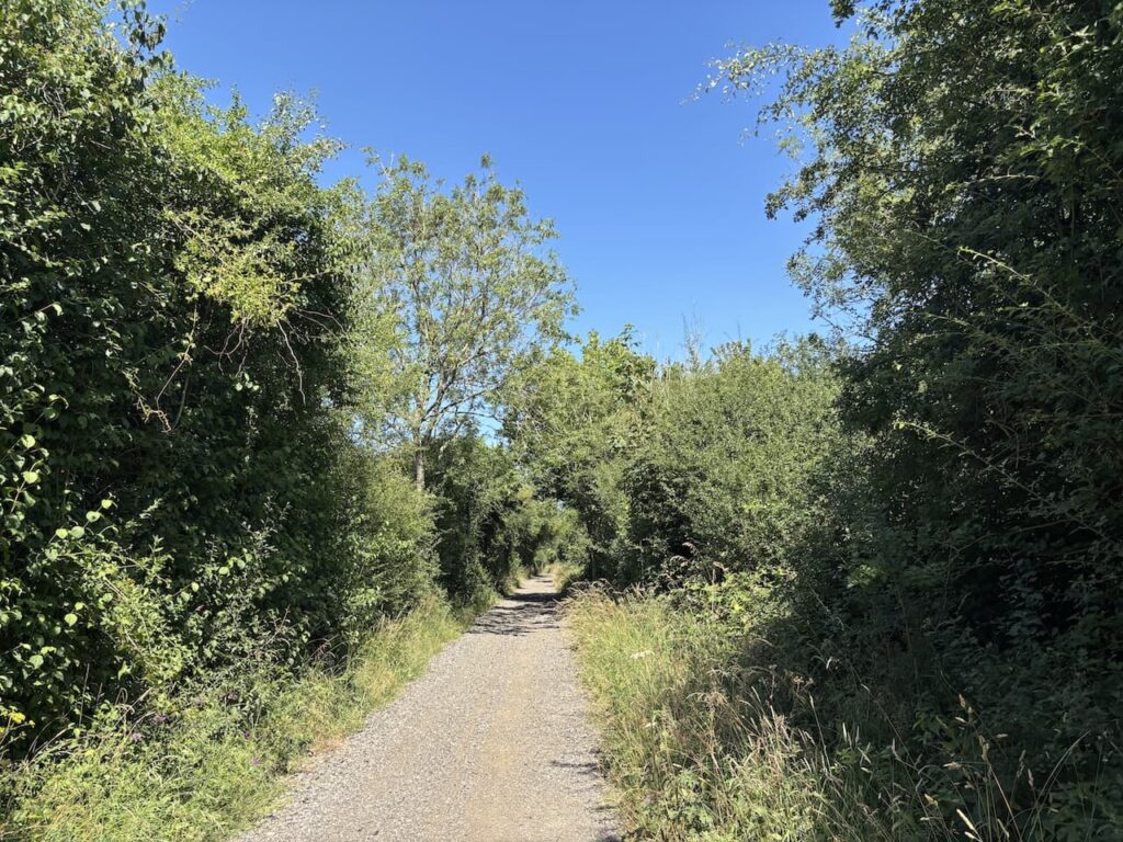
This tree-lined path links Fovant with Sutton Mandeville and along the way I cross the Parish boundary.
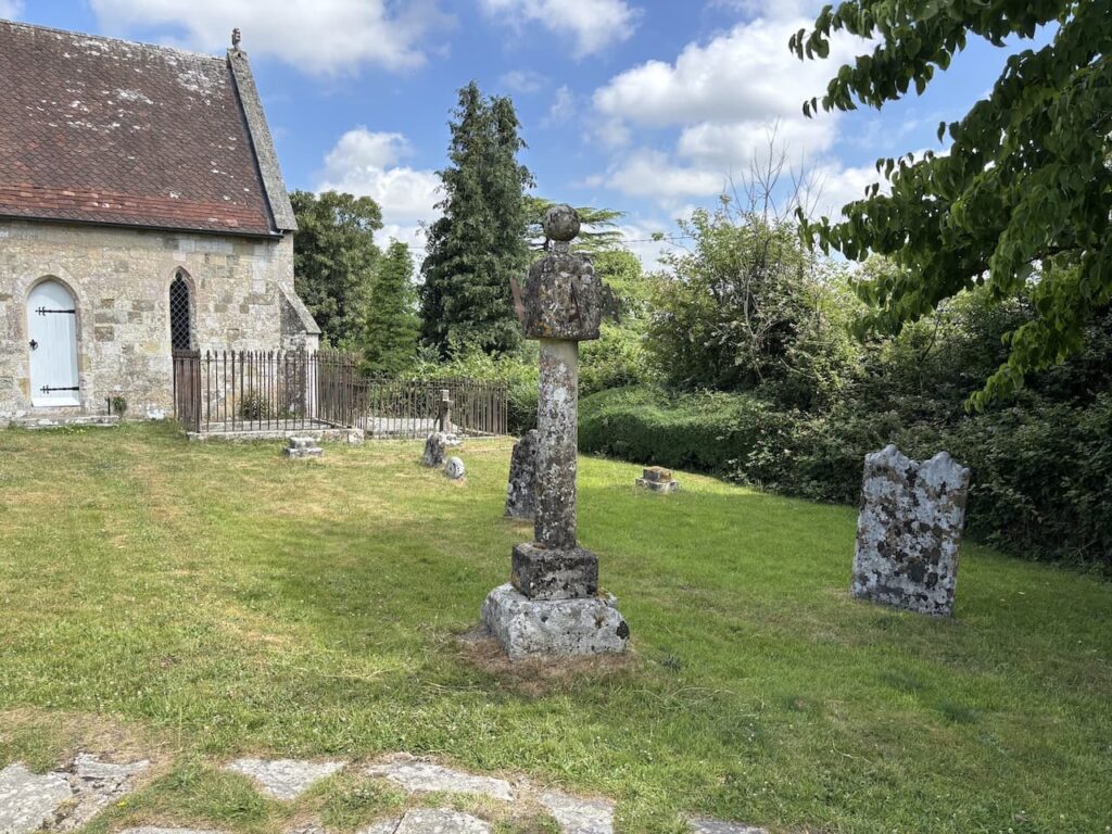
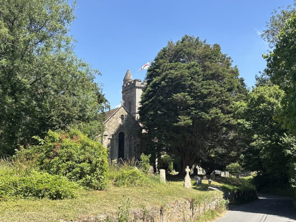
On reaching a road junction I turn right towards the village along a lane, Sutton Hill. At a sign to the church I turn right to follow a path to the 13th century church of All Saints. The tower was added in the 15th century and restoration work carried out in 1862. In the churchyard there is an unusual sundial with three faces,. It stand about 2 metres tall and the date 1685 is engraved just below the ball finial.
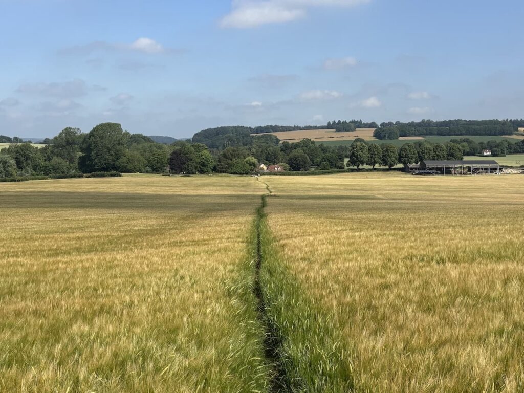
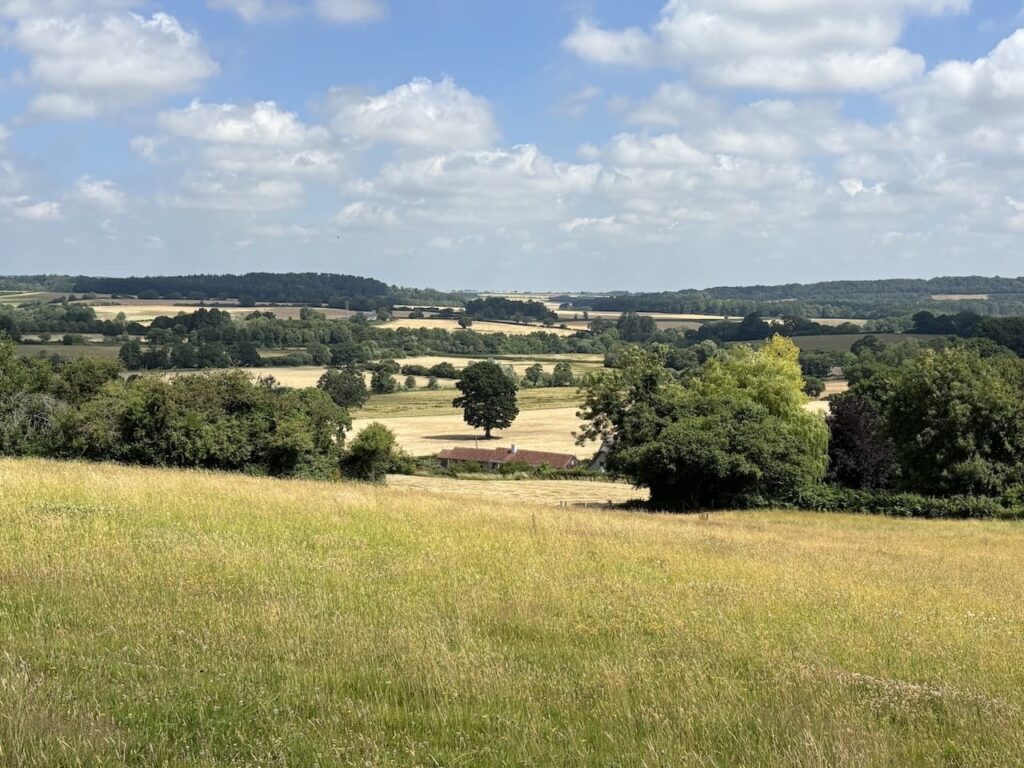
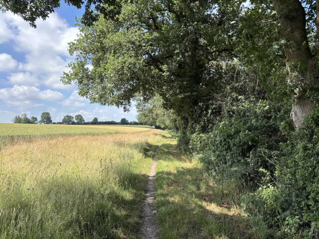
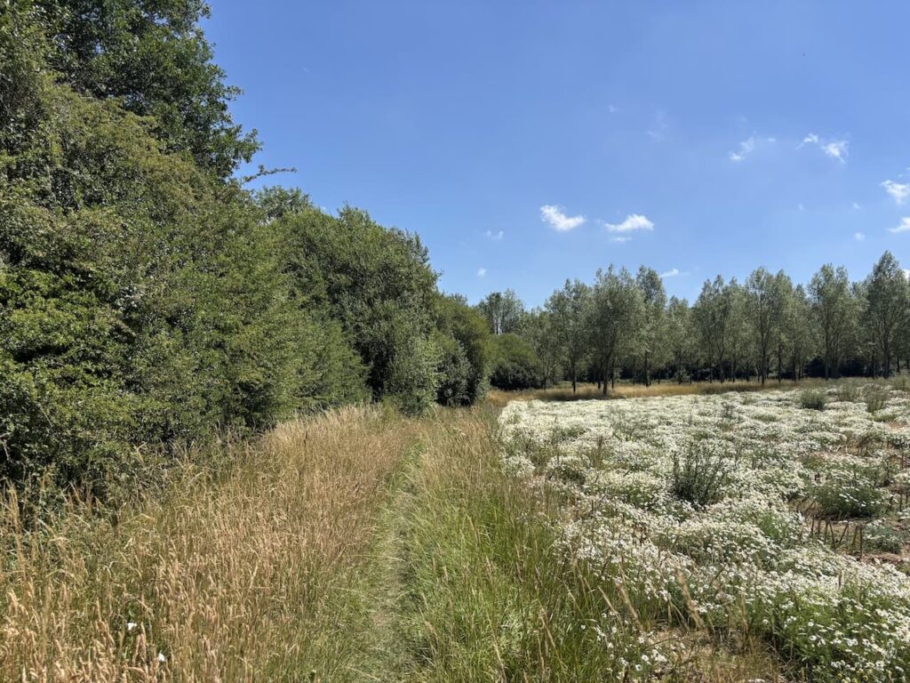
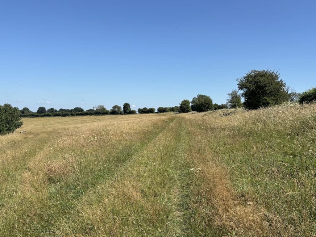
I leave the church by a gate on the west side the churchyard and head across pasture fields on a well used path with fine views.
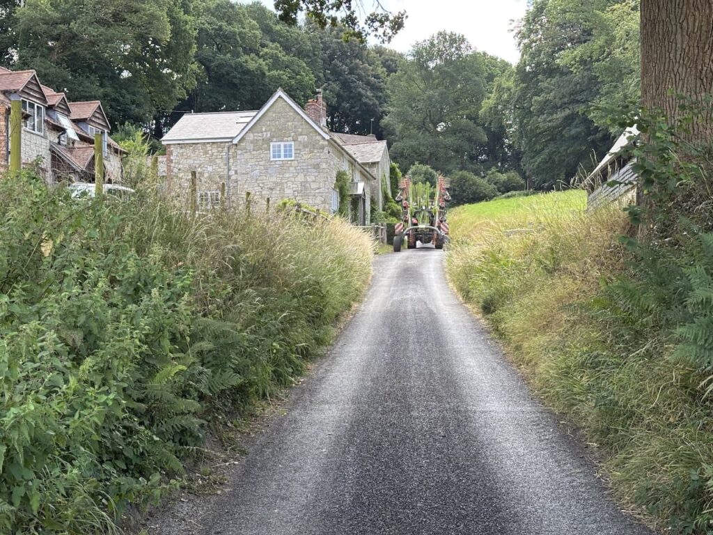
At a junction of paths, I ignore a path on the right through a gate and instead stay on the path that soon leads along the edge of woodland heading towards Sutton Row. After going through a few gates I reach Sutton Row and turn left to walk uphill following a tractor.
I stay with the road until it turns sharply to the left, here I ignore a track in front of me and take a footpath on the right that goes around the edge of a field and soon Swell Hill Wood is on my right.
On reaching a metal gate on the right I leave the field and go through the gate and turn left to follow a path which soon descends through the woods to a junction of paths where I turn left and head west.
This path takes me below the Iron Age hill fort of Castle Ditches, on a previous walk I have visited the fort and it is an impressive sight. After going through a couple of gates I join a fenced bridleway leading towards Withyslade Farm.
After passing through a gate I turn left following a track which goes above the farm and then the footpath goes right through a metal gate and then at a junction of paths I turn right and walk along the edge of Swallowcliffe Wood.
I ignore two paths off to the left and then walk through a field to a gate on to a track between cottages. At the road I turn left and then soon reach a junction and turn left. Within twenty metres, just as the road bends to the right, I take a footpath on the left beside a metal gate. This path goes through an area of woodland to reach a field where I turn left and go around the edge of the field.
After another area of woodland I go through a meadow and then continue on to pass a mill. Here the path crosses the driveway and goes beside a wood shelter to reach a field.
The path goes diagonally across the field and then goes down steps to reach a road where I turn left into Swallowcliffe. I soon reach St Peter’s Church and use the opportunity to sit on a bench in the churchyard to have lunch.
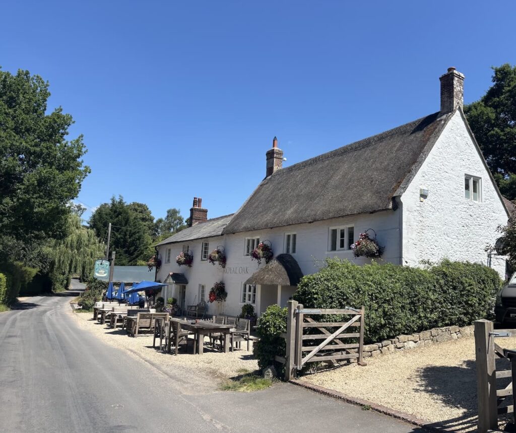
The church was built in 1842-43 to replace a Norman church which stood near the Royal Oak pub. This pub was originally the village tannery but converted to an ale house in the 1850’s. For many years it was a central part of the community but sadly closed in 2007. There then followed a spell when the pub became derelict whilst the owners sought to use the site for building houses. There was strong opposition from within the community and eventually the pub was purchased by three local residents and the pub re-opened in 2015. In 2020 James May the ex Top Gear presenter became a co-owner of the pub.
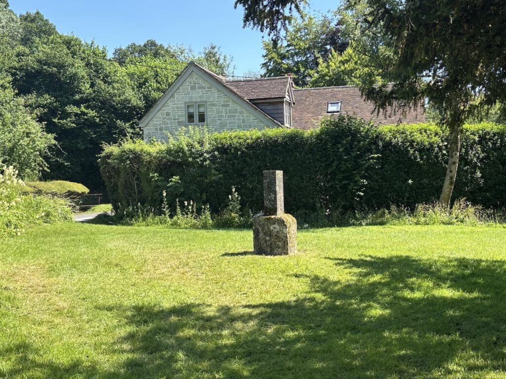
I pass the site of the original village church which is marked by a stone. This area is water meadows and flooded regularly so the church was demolished.
Staying with the road I head out of the village and pass the Manor House I stay with the road until it bends to the right, here I take a bridleway along a track. After 150 metres I take a footpath on the right which goes through a steel gate. After passing through a path between hedges I reach a field and head across towards the Cribbage Hut and the A30.
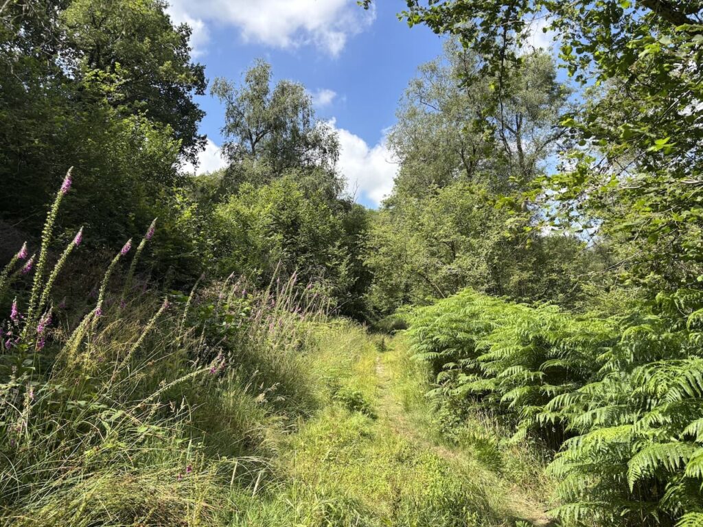
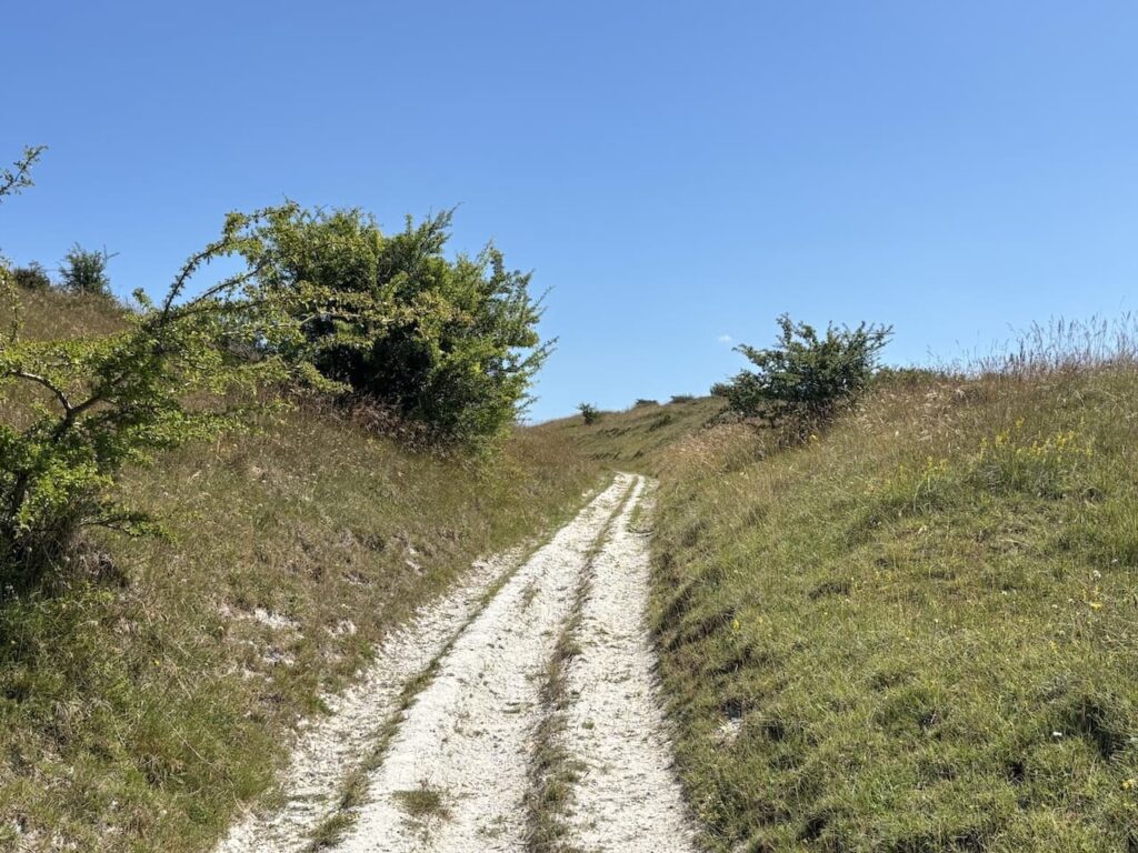
After crossing the A30 I follow a track, Buxbury Hollow.
This bridleway starts to head steadily uphill and at a junction of tracks I continue uphill and then fork left to go through a metal gate and stay on a chalk track.
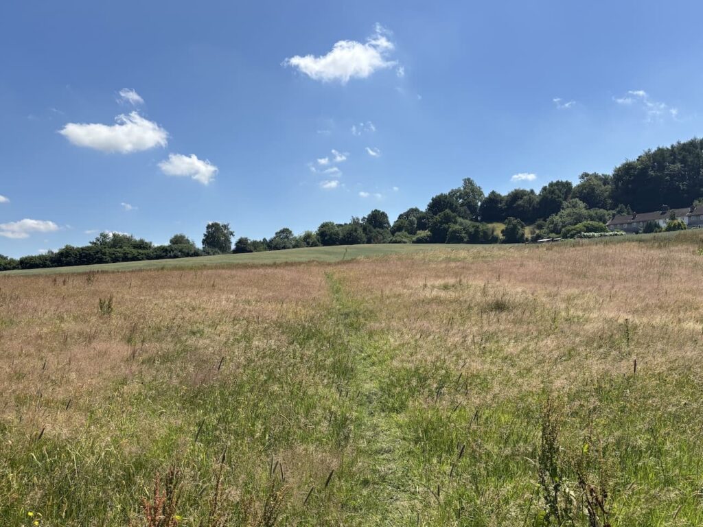
As the path starts to level I fork left towards Sutton Down and pause to enjoy the fine views along the escarpment.
It has been a hot day and I am grateful for the slight breeze as I head across Sutton Down towards the Old Shaftesbury Drove.
After going through a gate I turn left along the drove.
After just over a kilometre I pass the Fovant Hut. Now a private home this was once the location of an Inn on the drover’s route. According to the local history group this inn dates from around 1757 when the landlord was a chap called William Kennell. Apparently there is no record of when it ceased to be a pub, its demise was brought on by the turnpiking of the Lower Road (now the A30) in 1787.
From here it is a short walk along the drove to my starting point. It has been an interesting walk which has covered 11 miles, there has been a little bit too much road walking for my liking but I have been compensated with some stunning views.
To follow my walk you will need Ordnance Survey Explorer 118 – Shaftesbury & Cranborne Chase
You can view this 11 mile walk on OS Maps and download the GPX File Here
30th June 2025
© Two Dogs and an Awning (2025)
ll information on this site is provided free of charge and in good faith and no liability is accepted in respect of damage, loss or injury which might result from it. To the best of my knowledge the routes are entirely on public rights of way or within areas that are open for public access.
Walking can be hazardous and is done entirely at your own risk. It is your responsibility to check your route and navigate using a map and compass.