

For much of our walk, on the first section of the St Edward’s Way, yesterday the weather was overcast and a bit muggy but today’s forecast promises clearing skies and plenty of sunshine. So before heading out I apply lots of suncream and pack more in my rucksack.
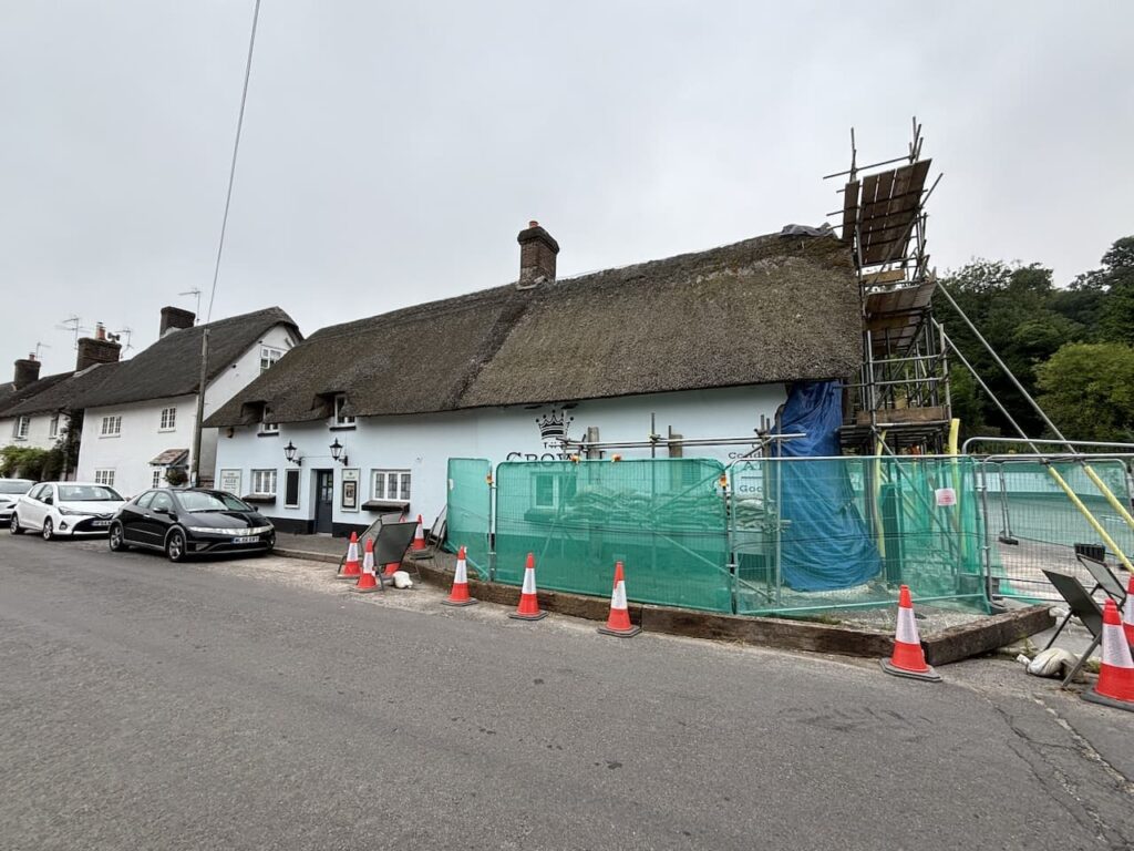
Once again I am accompanied by my walking buddy Mandy and we are picking up the St Edward’s Way in Winterborne Stickland outside The Crown pub. This had been our intended end point yesterday but due to the pub being closed we detoured over the hill to Milton Abbas to have a post walk pint at the Hambro Arms.
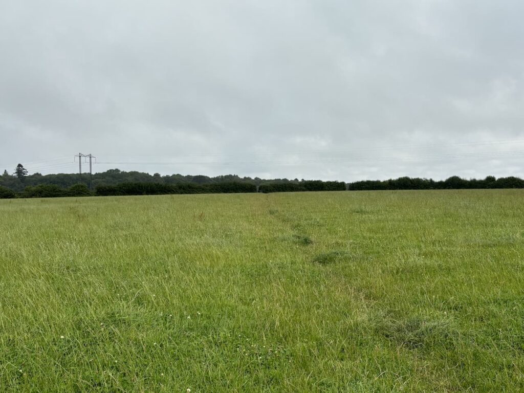
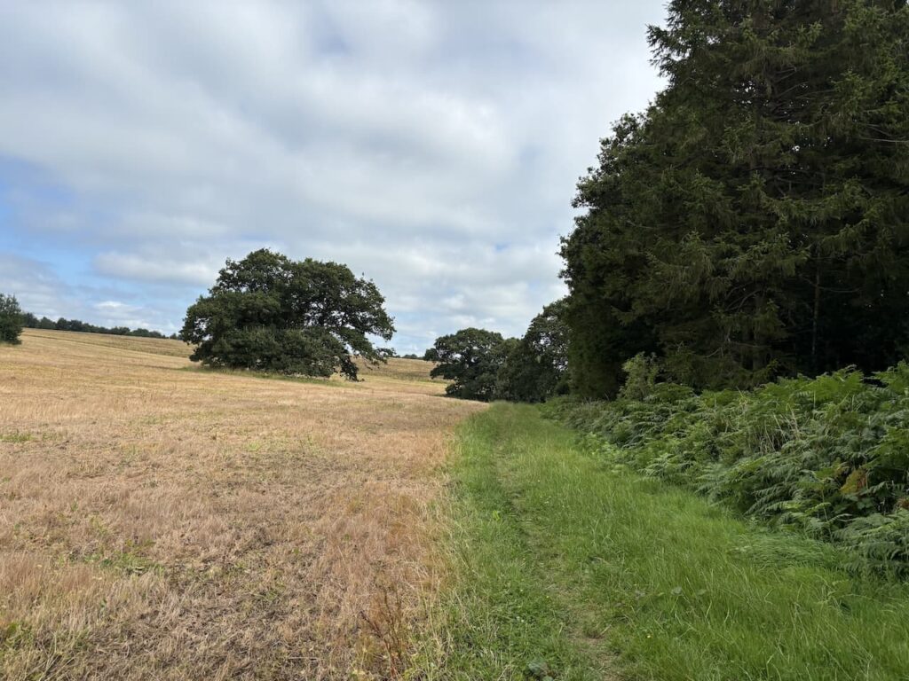
After bidding farewell to Mandy’s husband Stuart who is our driver for this walk we set off out of the village on North Street and at a junction of roads go left and then take a footpath on our right. Going through a gate we head uphill across fields heading towards the woodland of Field Grove.
Reaching the edge of the woods we turn right along a path.
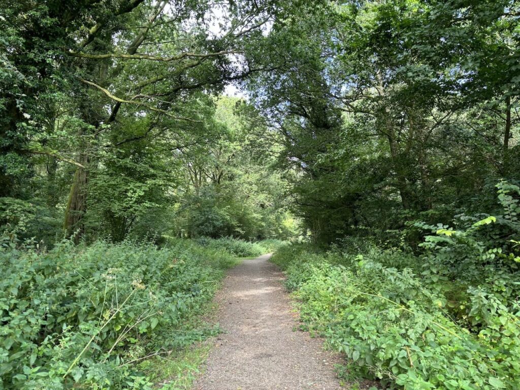
At the end of the path we reach a parking area and here we turn left to follow a way marked track into Field Grove.
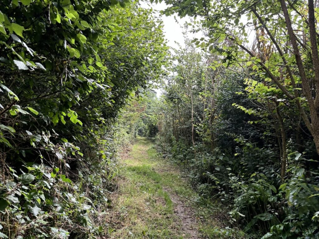
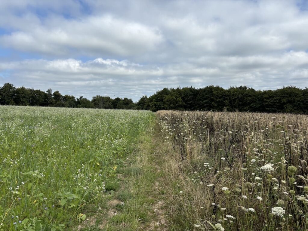
After 1.5km walking along the track through the woodland we reach fields and continue straight on towards the woods on Bonsley Common. On reaching the woods we follow a track along the southern side of the trees to reach a junction of paths on the south west corner of the woods. Here we go right and take a path which runs along the edge of the woods with the trees on our right.
At the north west corner of the woodland we keep straight on to follow a path across a couple of fields towards more woodland.
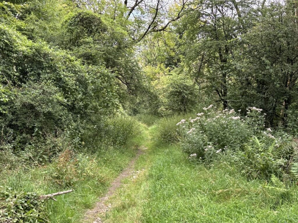
At the edge is a junction of paths, we go straight on and start descending through the trees towards Shillingstone.
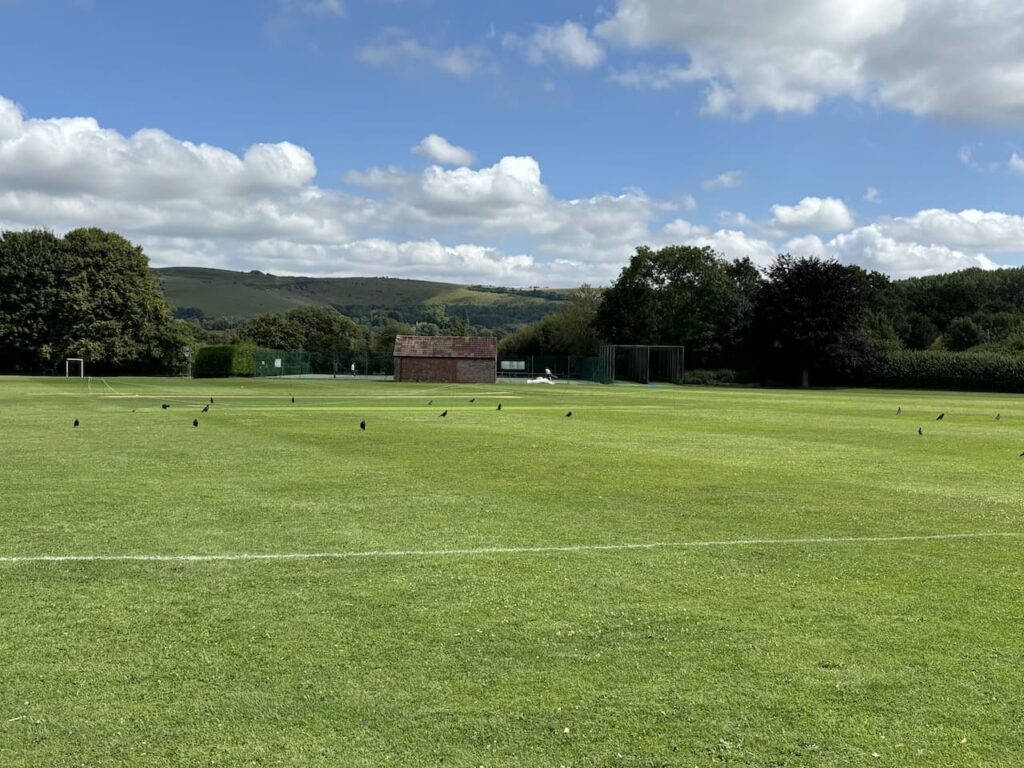
Emerging from the woodland we join a track and then turn right at a road junction and pass a couple of cottages before taking a footpath ion the left which heads across a field to reach the A357. At the road we turn left and walk beside the road through the village until we reach Hine Town Lane which leads to a playing field with a suitable bench for our elevenses.
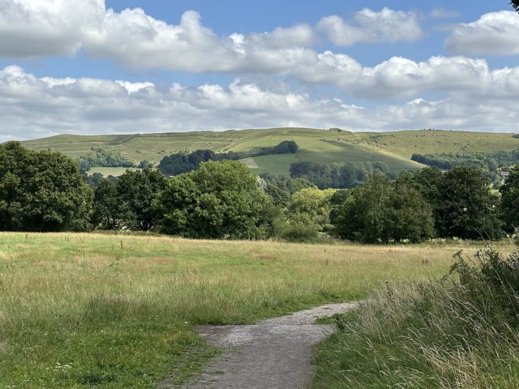
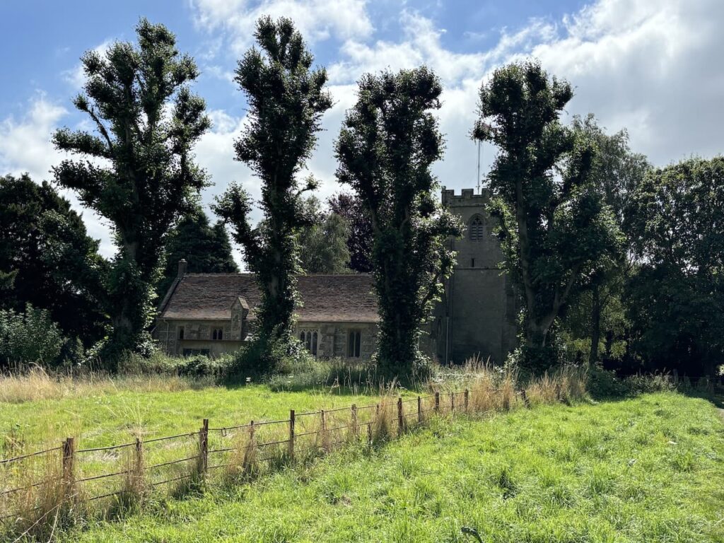
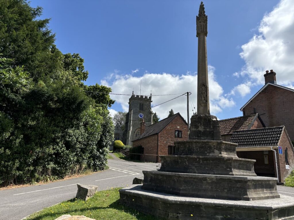
Refreshed we continue along Hine Town Lane until we reach a junction with Church Road, here turn right and follow this road round towards Holy Rood Church. On our way we get a fine view of Hambledon Hill.
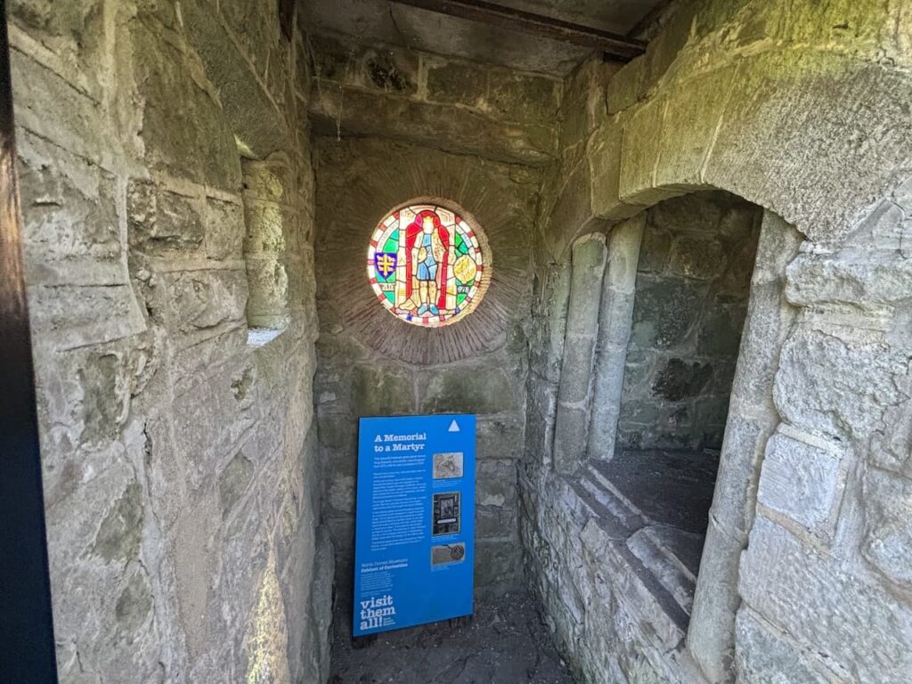
We take a quick look inside the church before continuing through the churchyard. Parts of this church date from the 12th century with the tower added in the late 15th century and the porch in the 16th century. There was a major restoration in 1858.
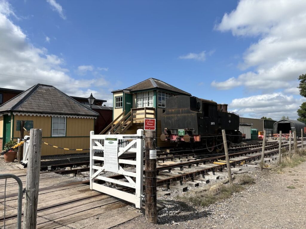
From the churchyard we follow a footpath down to the the North Dorset Trailway where we turn left. This is a 14 mile route from Sturminster Newton to Spetisbury. It predominately follows the old track bed of the disused Somerset and Bristol Railway. This line once linked Bath to Bournemouth and opened in 1863 to connect the English Channel to the Bristol Channel, it operated until falling victim to the Beeching Cuts in 1966.
Leaving the trailway we cross the road and start going along the driveway to Bere Marsh Farm and then almost immediately take a footpath on the right which heads across a field towards the River Stour.
We cross a stream and then continue to the river and go over a wooden footbridge, pausing to enjoy this tranquil spot.
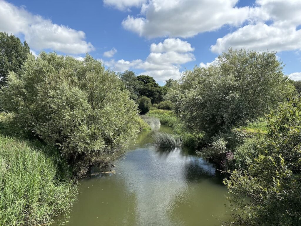
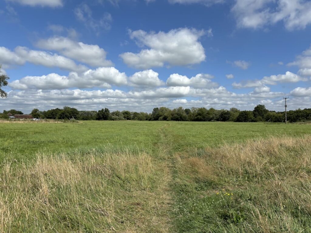
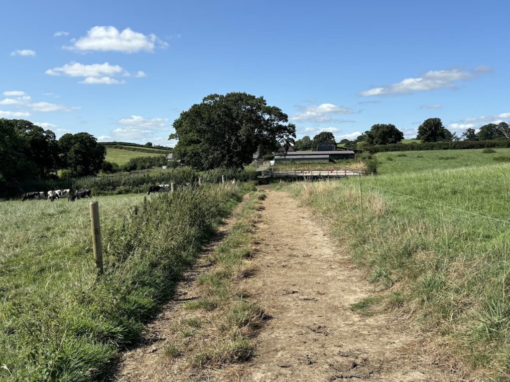
As well as being on the St Edward’s Way we are now also following the route of the Stour Valley Way, this takes us across an open access field and then through a couple of fields of pasture on the way to Child Okeford. In the village we join Haywards Lane and turn left which takes us into the centre of the village.
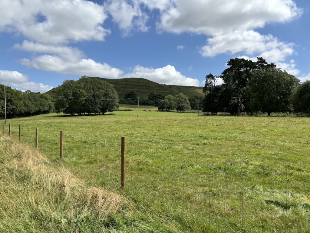
After passing the The Bakers Arms we turn right into Upper Shaftesbury Road and soon take a footpath on the right that runs parallel to the road. We are now walking at the foot of the western end of Hambledon Hill.
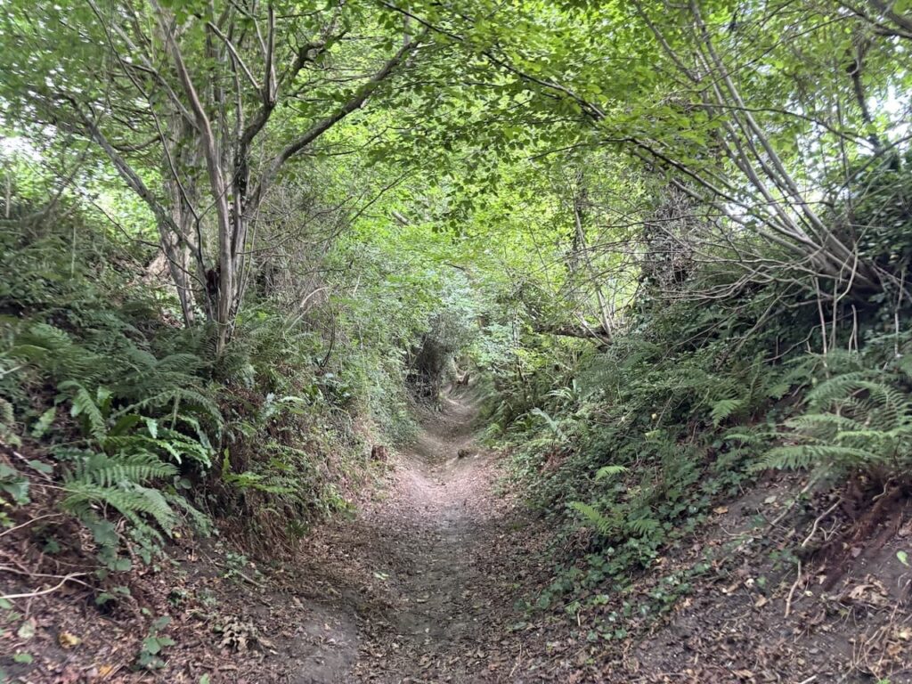
We rejoin the Upper Shaftesbury Road and very quickly fork right along a bridleway. After passing farm buildings the bridleway becomes a sunken track. I always enjoy walking along tracks like this, it signifies an ancient route which will have been worn away by cart wheels and the hooves of livestock.
On reaching the top of the hill we spot a stone circle in a field to our left, it would be easy to mistake this for a bronze age structure, however, it was erected in 2003 with the aim of bringing people together and invoking universal love across the world. Sadly I think any magic intended has failed to have any impact on world events.
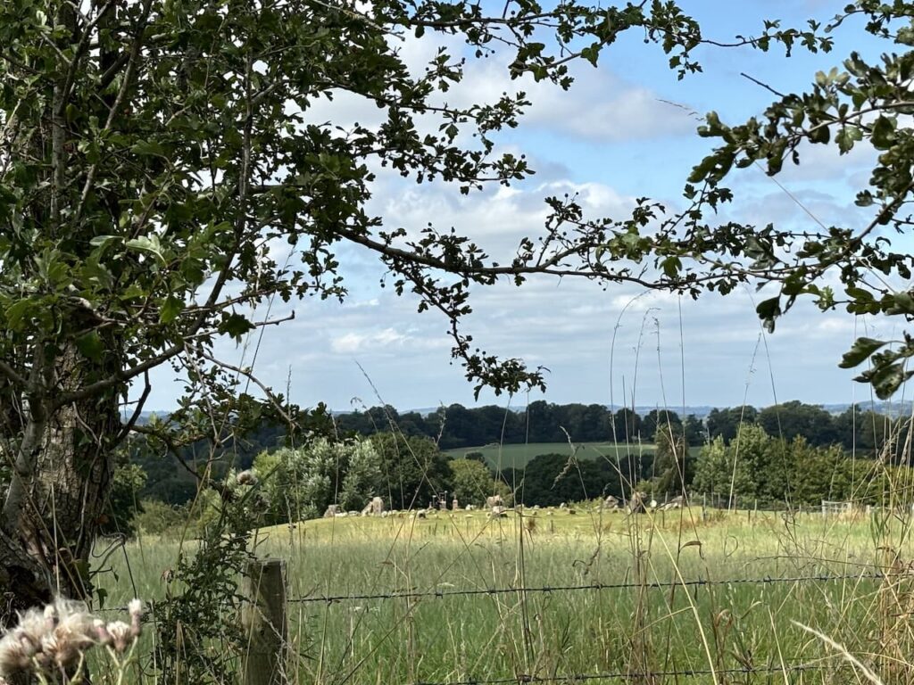
As we gradually descend through fields towards a minor road, keeping left at a fork in the path, we get a stunning view of what lays ahead of us later in the day.
On reaching the lane we turn right and then almost immediately take a bridleway on the left which heads along the side of a field with the hedge to our right.
At a junction of paths we go left and continue around the edge of fields to reach a minor road which we cross and then follow the St Edwards Way markers through a wooden gate to join a path by a copse.
Leaving the trees we head through a couple of fields to reach an attractive row of cottages at the edge of Farrington.
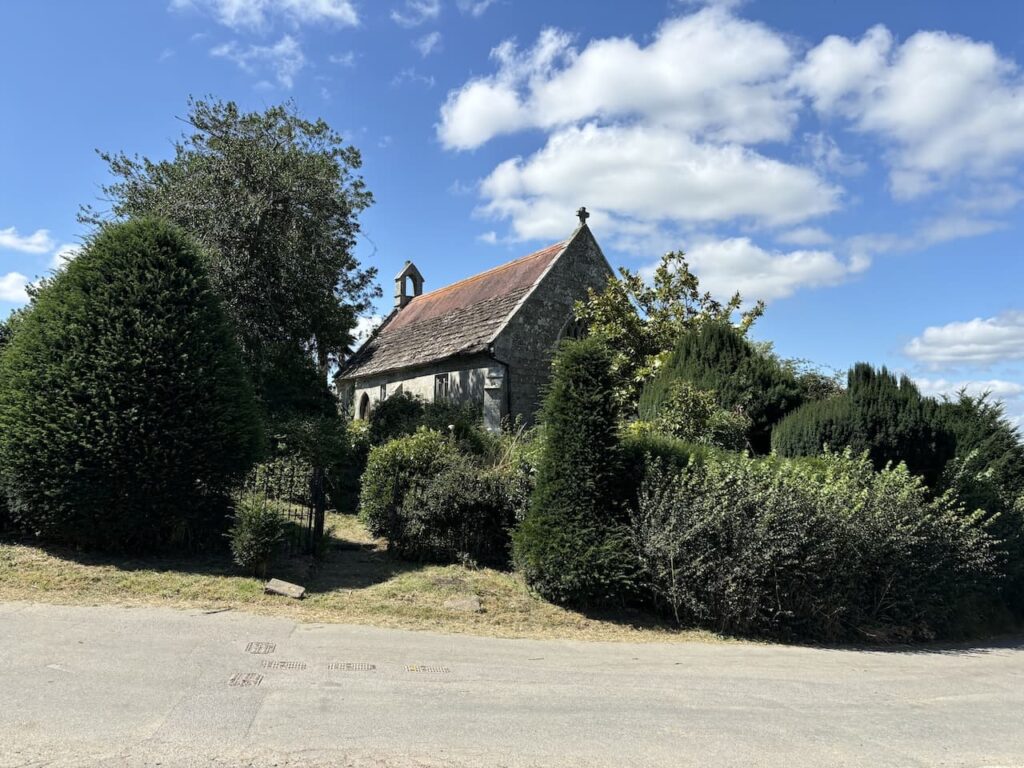
Passing the cottages we reach a junction with a minor road and the now deconsecrated village chapel. This chapel is believed to have medieval origins but it was extensively rebuilt in 1856 with further restoration in 1899. It served as a chapel of ease and did not have a graveyard, villagers were buried at the parish church in East Orchard. It wasn’t used for a number of years and an application was approved in 2022 to convert the Grade II listed building into a one bedroom home.
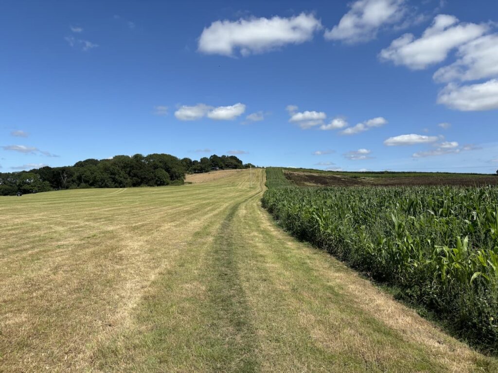
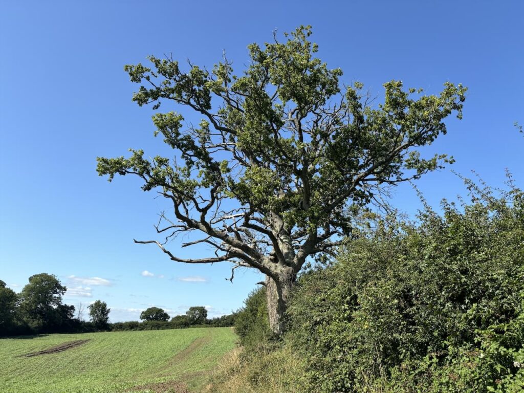
We turn right at the junction and follow the road through Farrington, passing Applin’s Farm, Godmans Farm and West Farm and then about 1km from the chapel we take a gravel track leading past farm buildings and then out into open countryside with the route passing Pen Hill Copse and continuing on to a minor road.
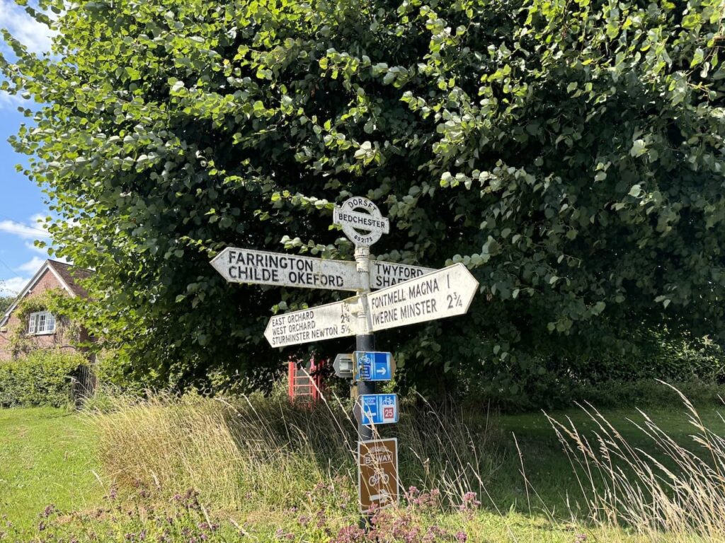
At the minor road we turn left and walk uphill into the hamlet of Bedchester. At the cross roads stands a finger post with the village name and OS Grid reference, this feature can often be seen on old Dorset fingerposts.
We head straight over at the crossroads following the road signposted to Twyford and Shaftesbury. After 900 metres we reach Hawkcombe Lane on our right and turn to join it, 500 metres along this lane we turn left into Drones Lane and follow this to pass Drones Farm.
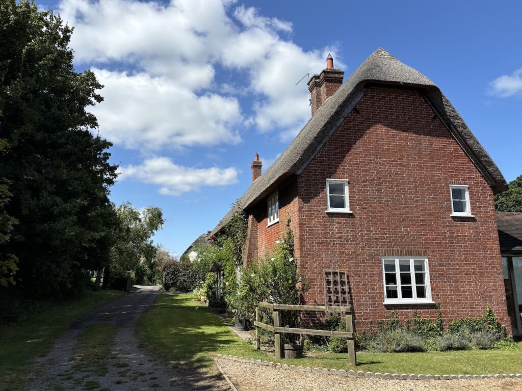
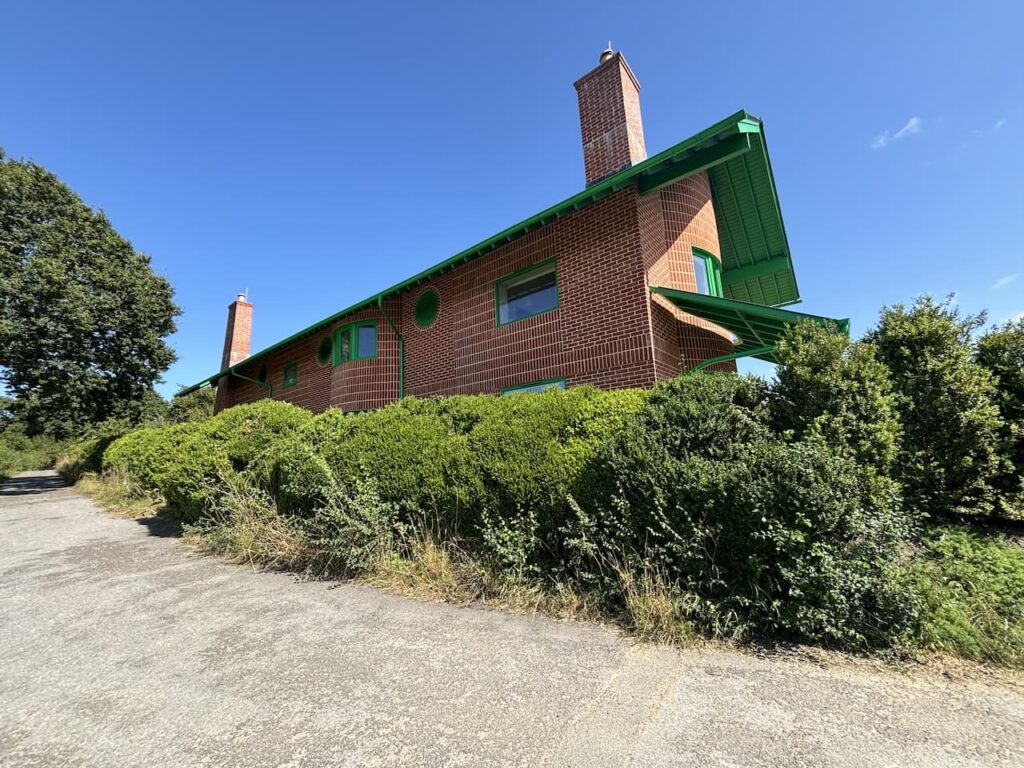
This single track lane heads steadily uphill to reach a distinctive looking house. Here we take a footpath on the left which goes into a field just before reaching the house.
From the gate the footpath splits into three directions, we take the right hand path that descends to a footbridge over Twyford Brook and then heads to Budden’s Farm.
After passing the farm buildings we reach a minor road and turn right for 200 metres before taking a path on the left which leads to Allan’s Farm.
At the farm we join the driveway and follow this to a minor road where we turn right and head along the narrow lane for 650 metres to reach a crossroads where we turn left into French Mill Lane and follow it past the former watermill which is thought to have been built in the late 1820’s on the site of previous buildings. It has now been converted into a house which a couple of years ago was on the market for well over £2m.
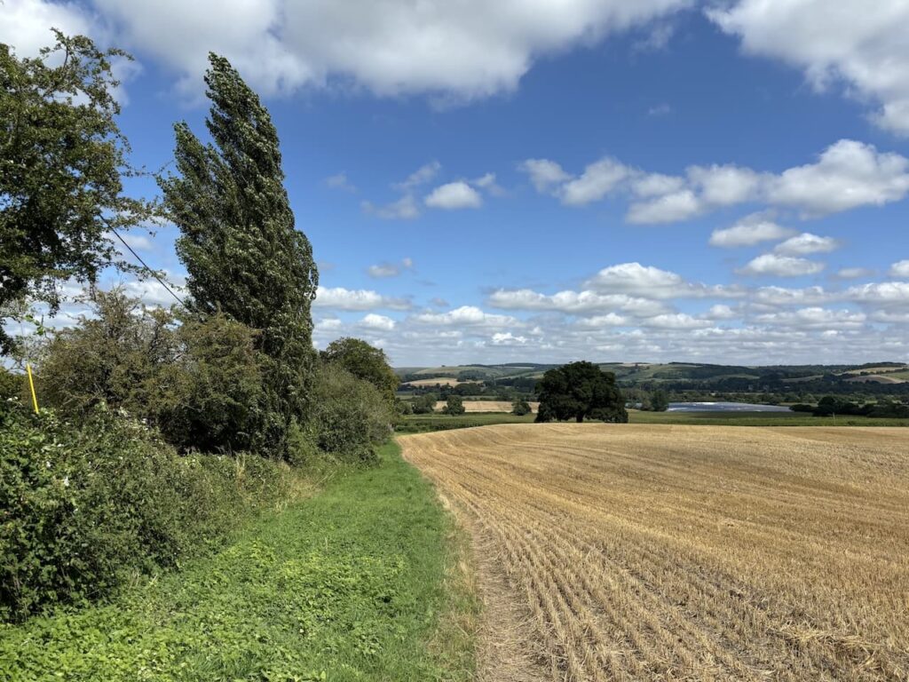
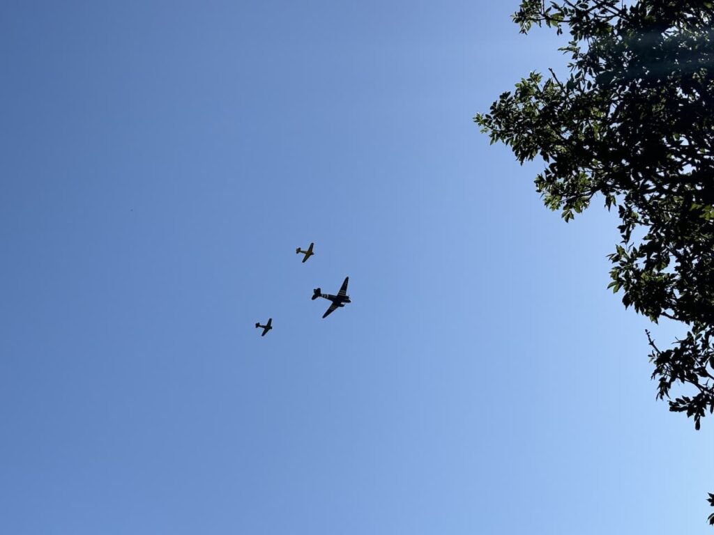
It has turned into a cracking day with a clear blue sky and for the past hour we have been treated to regular fly pasts by planes from Compton Abbas airfield.
Continuing along the lane we climb steadily to reach a cottage beside a junction. We keep straight ahead, we are now on Gascoigne’s Lane and we stay with this towards Holyrood Farm. At the farm we leave the road and go down a track and then follow a path to the right of an old stone barn.
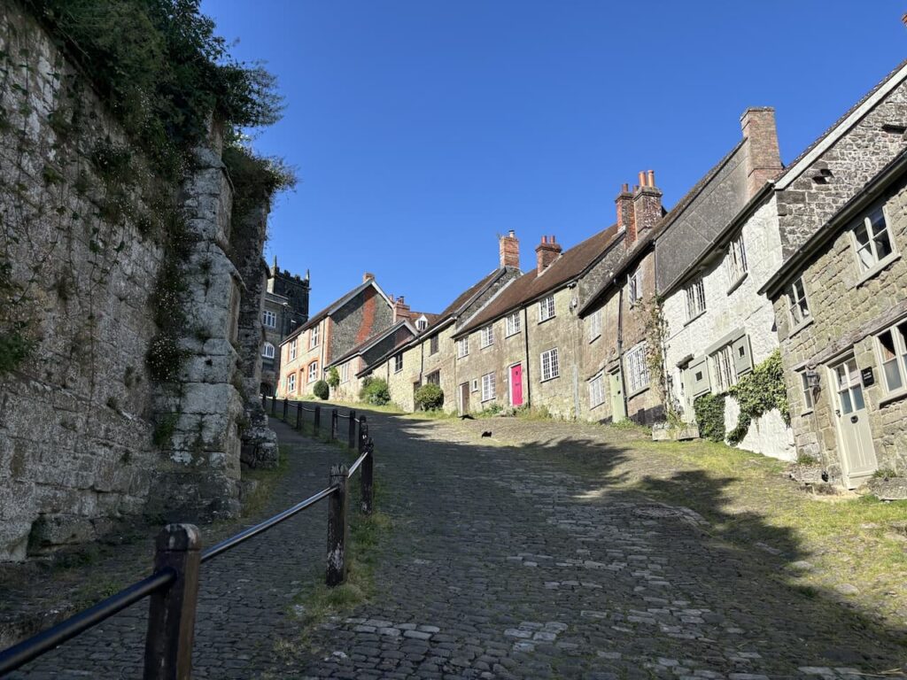
This leads to a tarmac lane, Kingsman Lane, where we turn left and follow this to St Jame’s Street where we turn right and walk the short distance to the foot of the famous Gold Hill.
This cobbled hill has been photographed millions of times and featured in a number of films and TV shows. It was used in scenes in the 1967 film version of Thomas Hardy’s “Far From The Madding Crowd” and came to prominence when used for the 1973 “Boy on a Bike” television advert for Hovis bread. Amazingly on this stunning afternoon we are the only ones heading up it. Perhaps it is too hot for folk to tackle.
At the top of the hill we turn to the left and head along to the ruins of Shaftesbury Abbey which is the end point of the St Edwards Way.
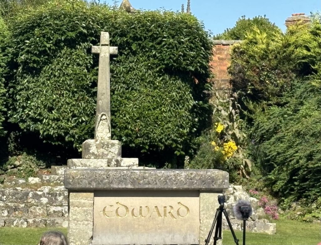
The abbey was built around AD888 by King Alfred and was the first religious house solely for women and Alfred installed his daughter Aethelgifu as its first Abbess. When the remains of King Edward were located here in 978 it became a shrine and people visited in large numbers because it was thought his remains performed miracles.
After 651 year of continuous worship on the site it was closed by order of Henry VIII in 1539 as part of the reformation with the creation of the Church of England and the break from the authority of the Pope and Bishops over the King. It all arose because he was miffed because the church would not grant him a divorce from his first wife Catherine of Aragon.
There is an event just about to start in the abbey grounds but the guides, impressed that we have walked the route from Wareham on two such hot days kindly allow us in for a quick wander around the site.
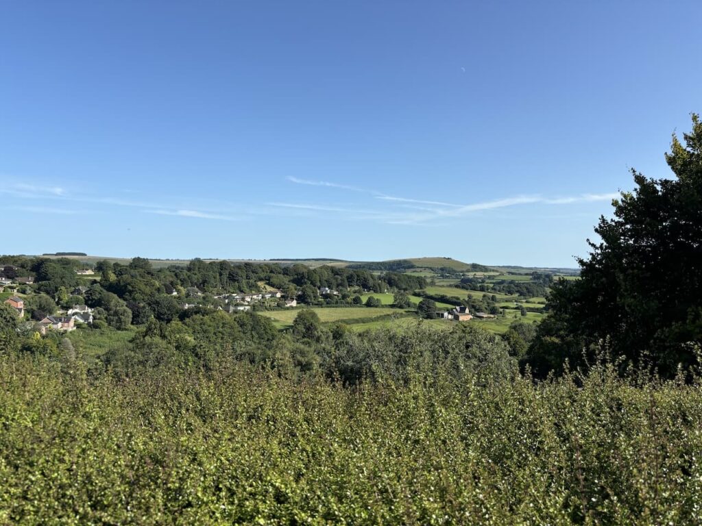
Leaving the site we wander across to the grounds by the wall of the abbey and look back over the view at the route we have taken.
Today’s section of the walk has covered just over 16 miles, it has been an extremely hot day and we have done over 1,600 fete of ascent. We are both in need of some rehydration and head to the Mitre to enjoy a couple of pints and reflect on what has been two days of cracking walking.
You can view this 16 mile walk on OS Maps and download the GPX File Here
To follow my walk you will need Ordnance Survey ExplorerOS Explorer – 118 – Shaftesbury & Cranborne; and OS Explorer – 117 – Cerne Abbas & Bere Regis
11th August 2024
© Two Dogs and an Awning (2024)
All information on this site is provided free of charge and in good faith and no liability is accepted in respect of damage, loss or injury which might result from it. To the best of my knowledge the routes are entirely on public rights of way or within areas that are open for public access.
Walking can be hazardous and is done entirely at your own risk. It is your responsibility to check your route and navigate using a map and compass.