Like so many people I find the winter months a gradual drain on my mood. In years gone by when I commuted to London for work we headed to Lanzarote for a couple of weeks winter sunshine to lift my spirits. It is over ten year since we did that and increasingly the lack of daylight and dull skies wear me down and I lose my bounce.
Spending time out walking helps lift my spirits, but during the winter there is always a spell when each walk is a trudge through the mud, or I am heading into driving rain. My mood is not helped by having Raynaud’s disease meaning that in colder weather my fingers and toes turn numb making even simple tasks very difficult.
Most of my winter walking is a solitary pastime. Lynnie is occasionally tempted to join me but apart from that and the odd day out with walking buddies I am on my own with Crosby. I like walking on my own, but there are times when the company of others perks up a walk.
Today I am out with my walking buddies Mandy, Nigel and Gary. We are going to have a jamabout around Grovely Wood and as luck would have it we are forecast a bright day once the morning mist has lifted.
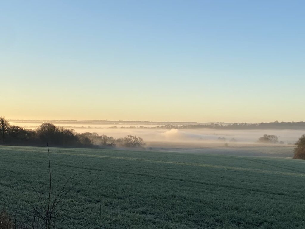
Our starting point is a parking area besides a drove at the west end of the woods (Grid Ref: SU007347). We set off along the drove heading in a south-easterly direction. It is a chilly start to the day but the sky is clear and we have a good view across the valley with the fog hanging below us.
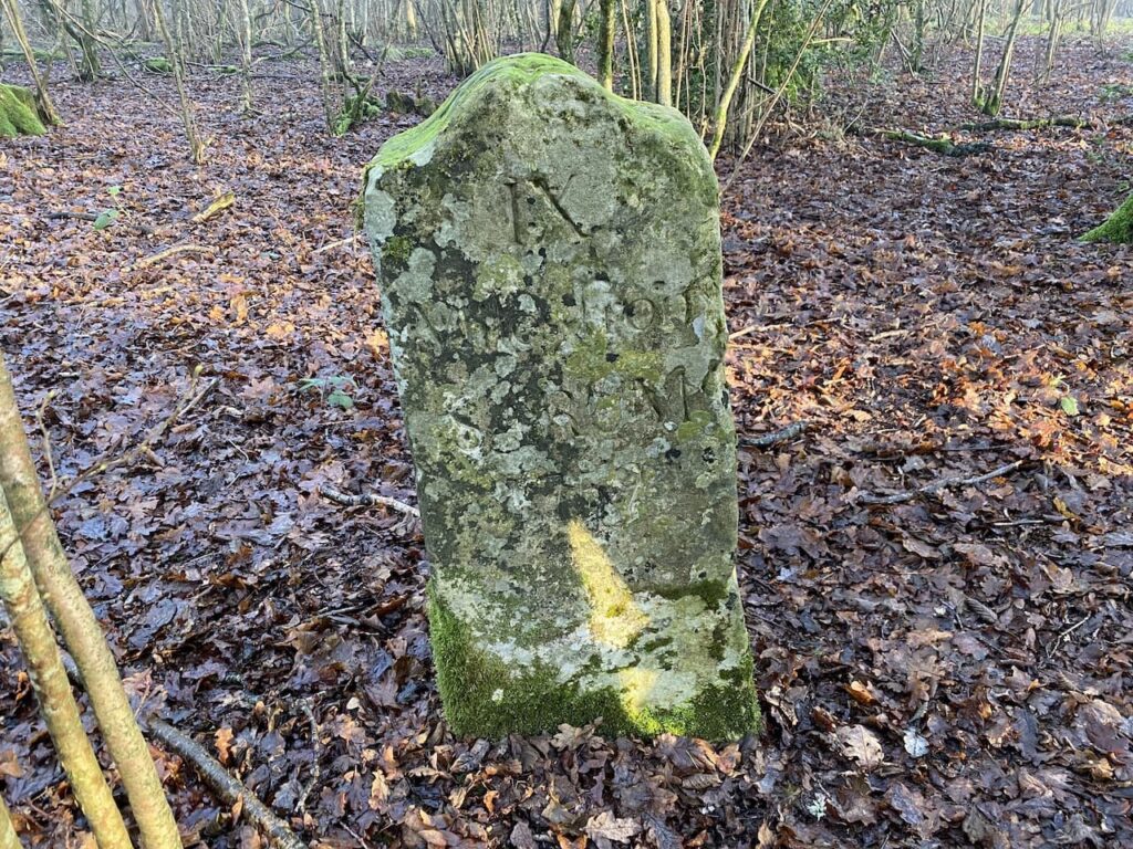
This track is an ancient drove known as Ox Drove, a common term in this area for a track which was used to drive cattle to market. This particular route linked Chicklade and Wilton and we soon encounter an old milestone sitting to the left of the track. It is dated 1759 and indicates that we are 9 miles from Sarum, the old name for Salisbury.
It is a cracking morning and the frost still lies on the ground as we head along the drove.
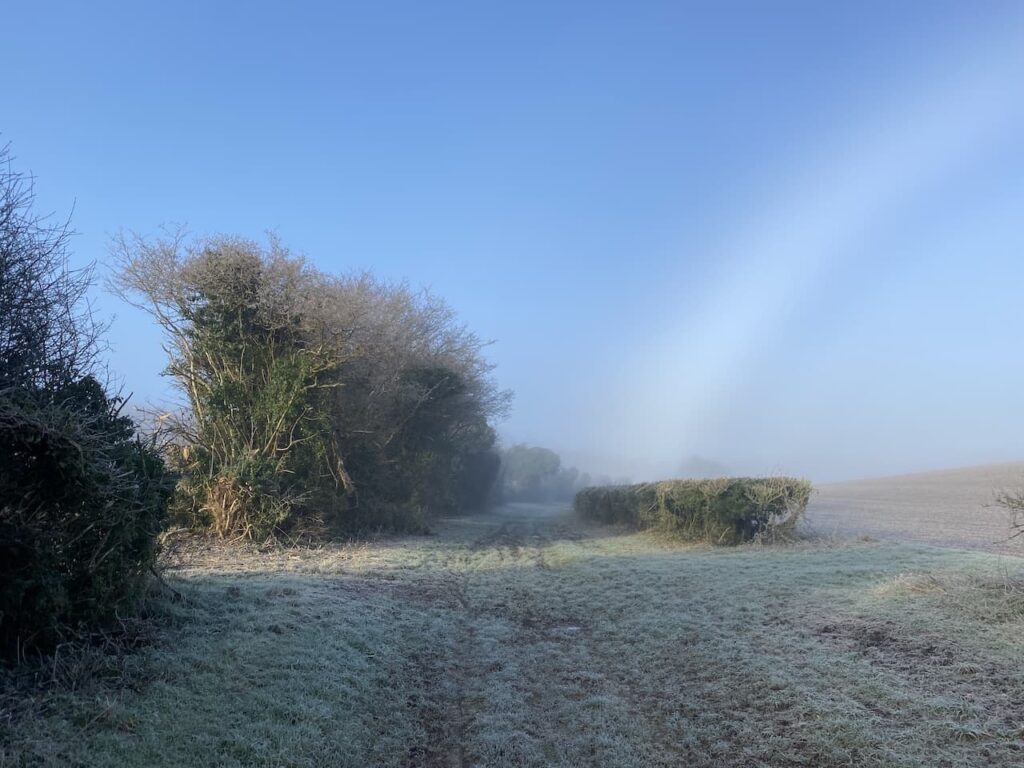
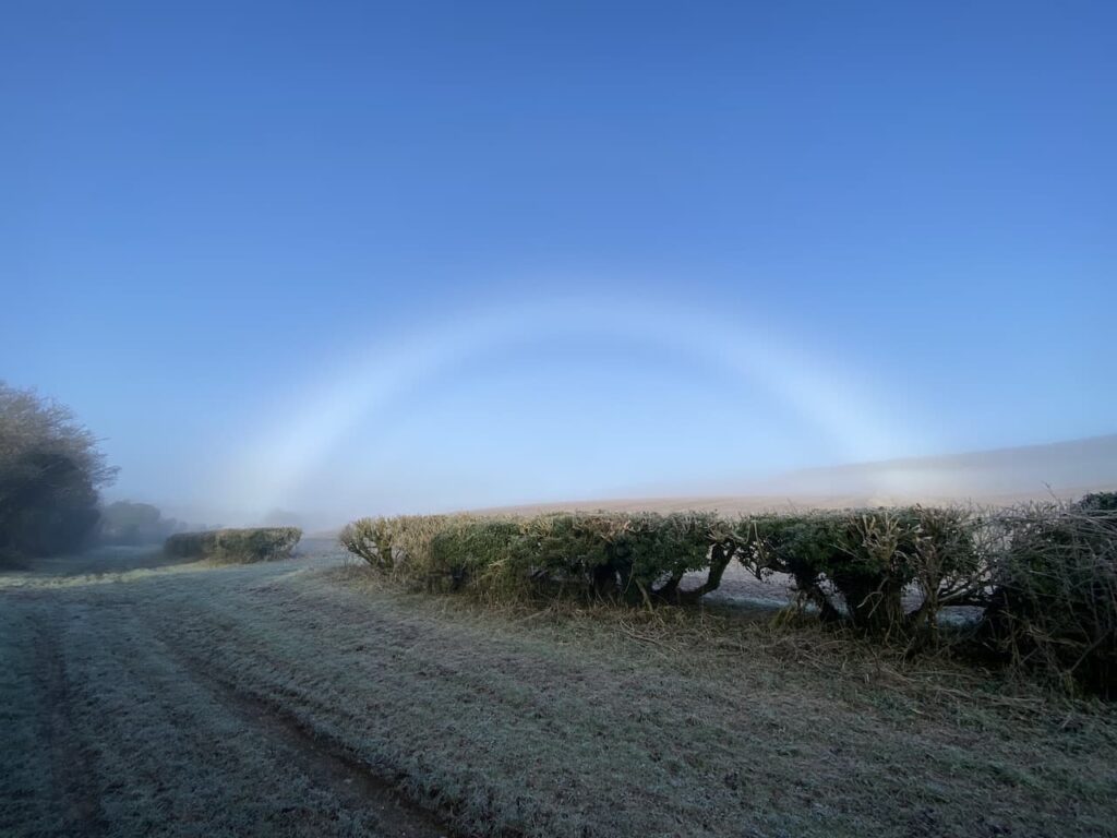
Stopping to take in the view behind us I spot a stunning fog bow. This is similar to a rainbow, but is created by the sun interacting with water droplets in the fog. I cannot recall seeing one before.
The Ox Drove we are following is also part of the Monarch’s Way, a long distance walking route retracing the journey made by Charles II after the battle of Worcester. The 615-mile way starts from Worcester and after a convoluted route reaches the Dorset coast and then heads east to finally end at Shoreham-on-Sea.
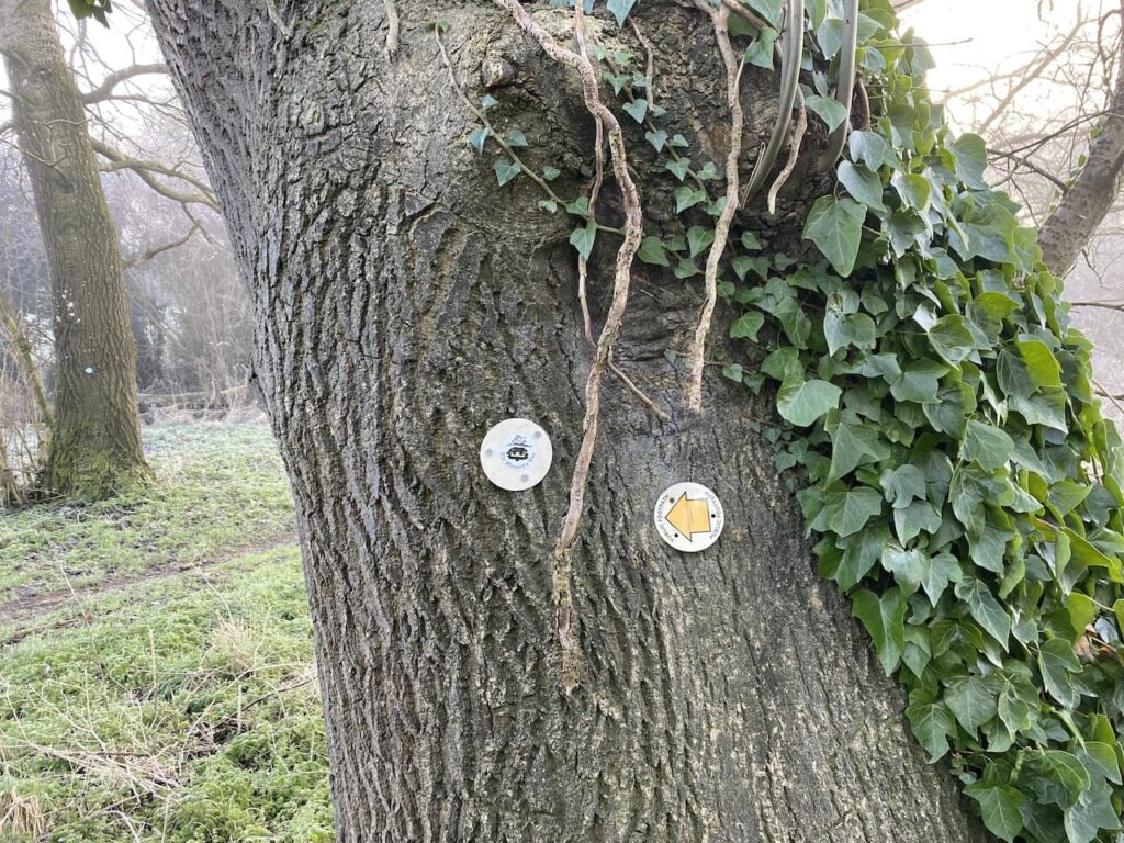
At a junction with Fir Drove we stay with the Ox Drove and Monarch’s Way to head uphill in an easterly direction.
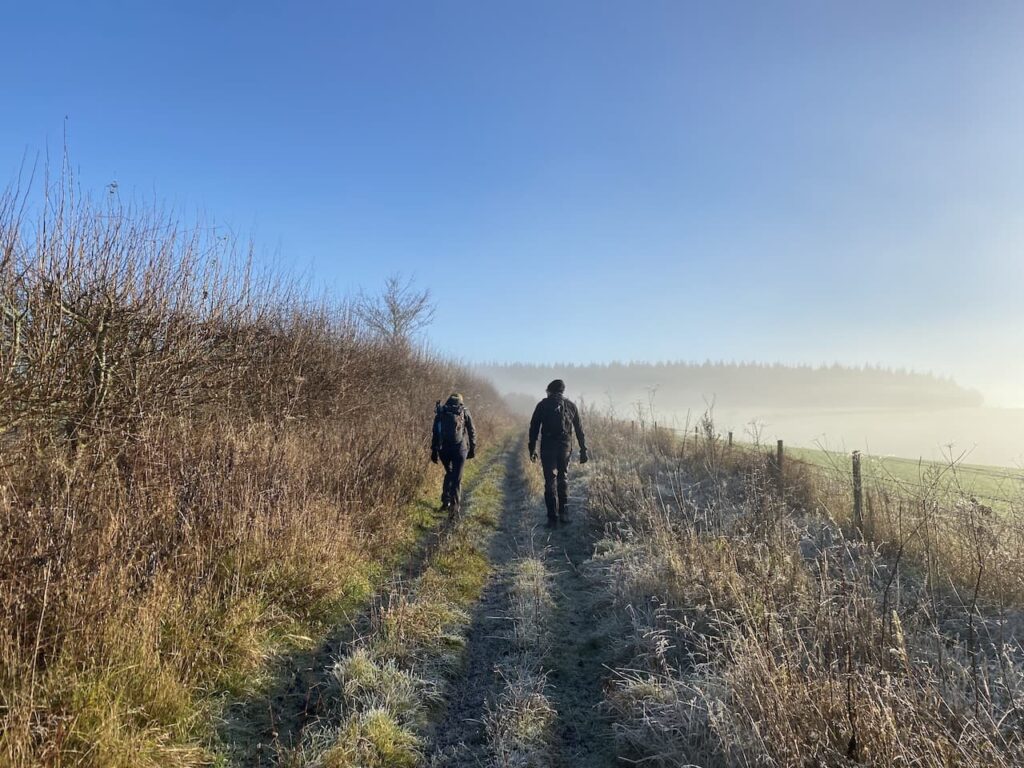
At a junction of tracks just before West Thornhills copse we leave the Monarch’s Way, which forks to the left. We stay on Ox Drove forking right to pass the copse and carry on to reach East Thornhills.
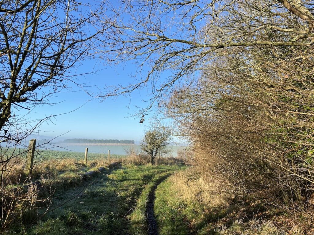
The track now descends to a junction of paths and a minor road. There is a small parking area here and another milestone beside the path bears the inscription “VI Miles from Sarum 1750” .

We continue east on the Ox Drove, ascending again we get fine views across to Cranborne Chase with the fog still lingering in the valley to the south.
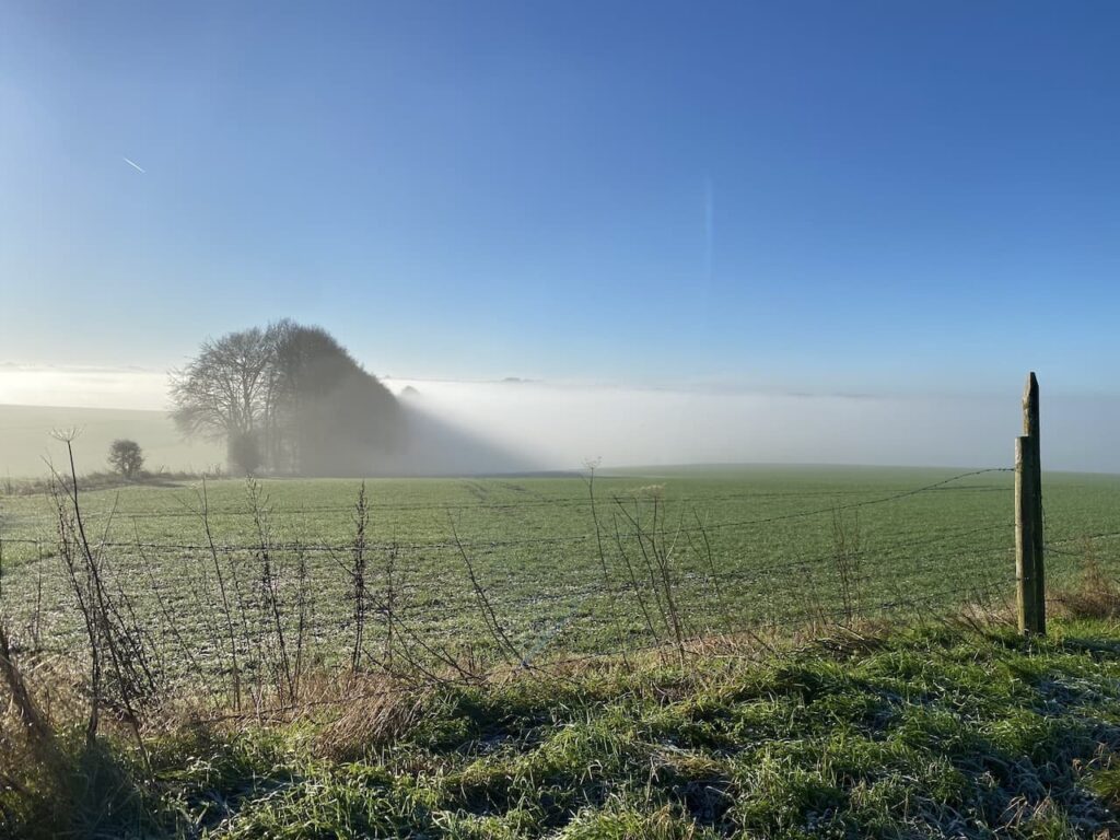
Just before reaching a junction of paths we pass another milestone. The inscription on this stone is difficult to make out, apparently it said “V Miles to Sarum 1750”.

At the junction of paths we continue straight on towards Ugford Red Buildings.

At a junction of paths by the farm buildings we turn left and keep left as the path forks, this takes us along a line of attractive beech trees.

At a junction of paths we turn right and then after a couple of hundred yards take a left along the wide track called First Broad Drive.
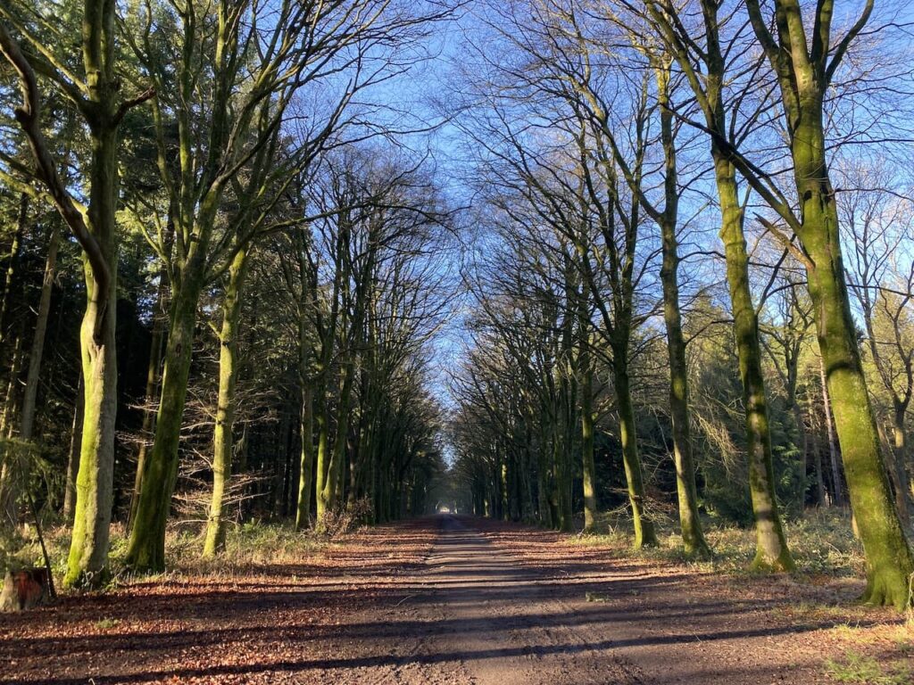
After 500 yards, shortly before the Grim’s Ditch joins the drove, we turn left into the trees to visit the Handsel Sisters. These are ancient beech trees within this section of pine woodland.

The Handsel sisters were born in Denmark in the 1700’s and moved to the Wilton area. Soon after they arrived an outbreak of smallpox claimed 136 lives. Locals were convinced the sisters were responsible for the deaths and they were accused of witchcraft and an alliance with the devil. Without an official hearing they were taken to Grovely Woods and bludgeoned to death. They were then buried some distance apart to stop them conspiring against their murderers.
There are conflicting tales about the origins of the beech trees, one is that they were planted to mark the graves as a warning to others who might consider practicing witchcraft. The other that the trees grew on top of the unmarked graves as a reminder to locals of their murders.
Of the four original trees three remain. The largest of the trees is strewn with offerings to the sisters. There are reported sightings of the ghosts of the sisters in this area of woodland and pages on the internet dedicated to the spooky goings on here. I am not sure what to believe, but the trees have grown in a very strange way and there is certainly a feel about this area that makes me slightly uneasy.
Having visited the trees we make our way back to First Broad Drive and follow this heading west. Shafts of sunlight are shining through the trees giving a dramatic effect.

It is very pleasant walking along the wide track feeling the warmth of the sun. This is just the sort of thing to lift the spirits, walking with friends in cracking woodland in the sunshine!
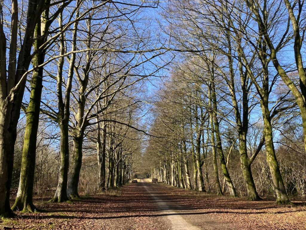
At a crossing of tracks close to Grovely Lodge we continue straight on to join Second Broad Drive. We decide to take advantage of the sunshine and stop besides the track for some lunch.
We don’t hang about too long because despite the sun it soon feels chilly when you are inactive. Continuing along Second Broad Drive we pass Four Sisters Copse and then leave the main track turning right to follow a path through the trees heading northwest towards the Little Langford Down Nature Reserve. Like much of Grovely Wood this is open access land so there are no way-markers and we take care to ensure we skirt the top of a valley before turning north through Langford Woods.

This is a stunning section of woodland maintained as a nature reserve by the Wiltshire Wildlife Trust. We stay with a broad ride through the trees to reach the northern end of Langford Woods where there is a barbed wire fence. This marks the edge of the access land. Here we make a brief excursion into the field to visit the Ordnance Survey trig pillar on the ramparts of Grovely Castle Iron Age hill fort.

Back in the woods we retrace our steps through the nature reserve, this time when we reach the top of the valley we fork right on a ride passing an area marked on the map as Powten Stone. Despite searches over many years by many people the actual location of the stone is unknown but it still justifies being recorded on the map.
We rejoin the Second Broad Drive and turn right to head west. During the Second World War these woods played an important role as a storage location for ordnance. As a result the old Roman Road which we are now walking along was paved to allow easy access for military vehicles.
Apparently bombs were stored in the woods and fuses and other volatile munitions were stored in hundreds of bunkers. A couple of these bunkers still remain and one is located by the track, it is easy to identify because someone has sprayed ‘Bunker” by the entrance.

We stop to have a peek inside, I am not sure I would have wanted to be in such a confined space with volatile ordnance.

Our route continues along Second Broad Drive, it is getting late in the afternoon and the sun has lost its warmth and there is a definite chill to the air.

We keep our eyes peeled for a second bunker besides the track, this one is not so easy to find because it is overgrown. This one has been bricked up presumably to prevent it from being damaged.

We stay with Second Broad Drive until we reach the edge of the woods, here we turn left besides a barn and follow a track along the northern edge of the wood to reach a minor road. We turn left to walk through Dinton Beeches and return to our starting point.
We have covered over thirteen and half miles and it has been a cracking walk. The sunshine and company of friends has gone a long way to lifting my spirits. Roll on spring!
To follow this walk you will need Ordnance Survey Outdoor Explorer Map OS 130 Salisbury & Stonehenge
You can view this 13.5 mile walk and download the GPX File on OS Maps (OS Maps subscription required)
13th January 2022
© Two Dogs and an Awning (2022)
All information on this site is provided free of charge and in good faith and no liability is accepted in respect of damage, loss or injury which might result from it. To the best of my knowledge the routes are entirely on public rights of way or within areas that are open for public access.
Walking can be hazardous and is done entirely at your own risk. It is your responsibility to check your route and navigate using a map and compass.
