I plan to walk the Yorkshire Three Peaks tomorrow and have put in plenty of time ensuring my legs are ready for the twenty-four miles and the ascent of the three stunning peaks. I have decided to walk without the dogs, as I am concerned that on a warm day such a challenging walk will be too much for Crosby. It is definitely further and tougher than ten-year-old Dexter now likes to walk.
Before doing the walk I want to do a rapid ascent of Ingleborough from the Hill Inn, on the Ingleton to Hawes Road. To do this quickly I am leaving the dogs with Lynnie this morning, we will all go for a walk later. Starting from the small parking area a few hundred yards from the Hill Inn I cross the road and go through a gate to follow a path towards Keld Bank, on the way I pass a cracking Lime Kiln.
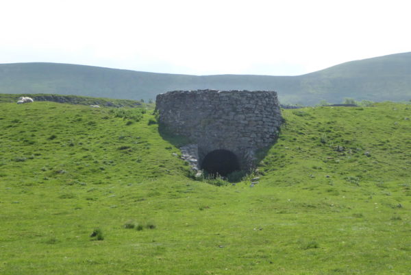
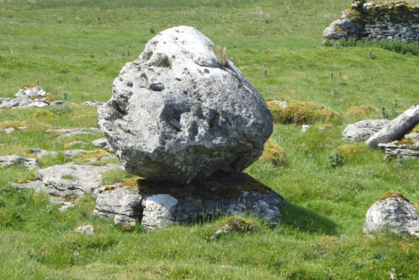
The path soon reaches the limestone pavement of Southerscales Scars and then passes the impressive Braithwaite Wife Hole before going through a gate. From here I stop and look at the traffic on the path in front of me. There appears to be a constant stream of people walking off Ingleborough and I can also see a group ahead of me going towards Humphrey Bottom. I judge that this group are likely to hold me up and stop a rapid ascent, so turn left to walk besides the wall.
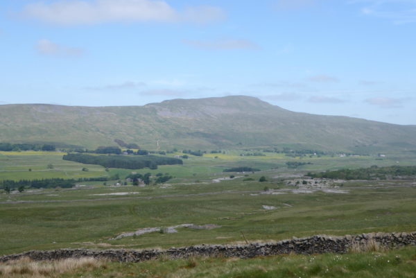
On reaching a wall I turn right to follow a pathway uphill. I have walked this path a number of times previously. It is obviously becoming a popular ascent of Ingleborough, because it is now clear and easy to follow. It is my preferred route up Ingleborough from this side; I rarely meet anyone, as it is far less congested than the traditional three peaks route.
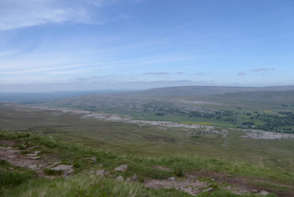
This is a stiff climb, in the past I have needed to stop a couple of times to catch my breath, but today partly because the route is easier to follow and partly due to my fitness I make it to the top of the ridge without stopping. At the top I stop to admire the view and get my breath back.
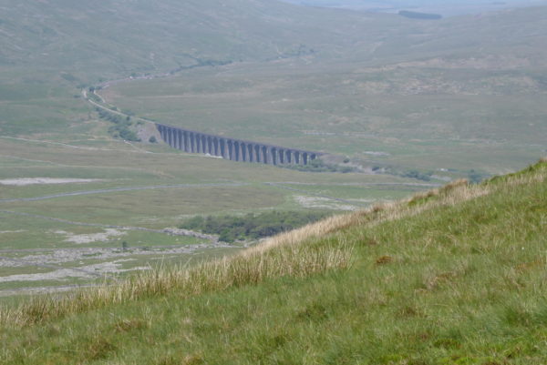
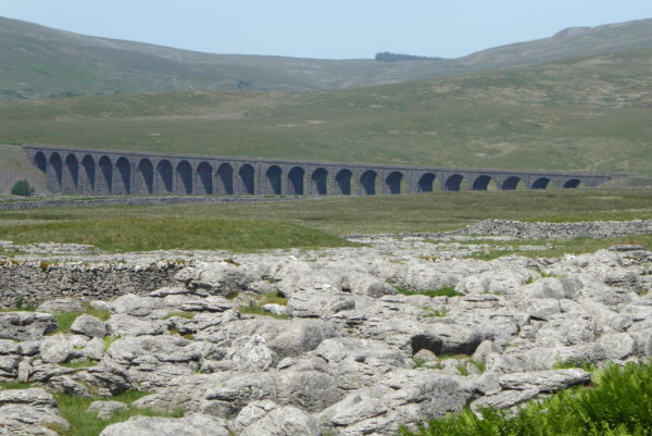
I turn away from Ingleborough here and take the path that follows the ridge above Souther Scales Fell. I have not walked this before and soon get a cracking view of the Ribblehead Viaduct.
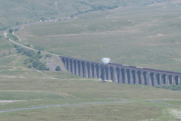
As I continue along the path I hear a steam train on the Settle to Carlisle line, so stop to watch the train pass over the viaduct. I have seen a number of trains travel over the viaduct, but cannot recall watching a stream train. It is real treat.
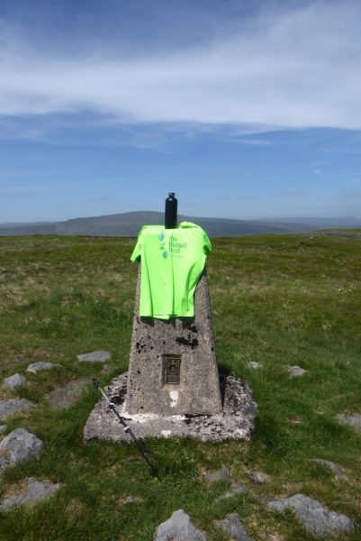
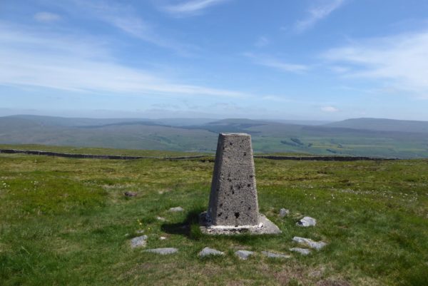
I resume my walk keeping besides a wall, until I reach a junction of paths on Park Fell. Here I take a slight diversion from my route to locate the Ordnance Survey trig point.
This is the sixty-second trig I have bagged. It has cracking views in all directions.
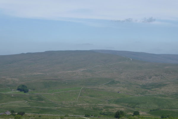
I retrace my steps to the path. The route goes steeply downhill, a real test for the knees. Ahead of me in the distance I can see the Cam High Road, this old Roman Road is now the route of the Pennine Way. Lynnie and I walked that section a few years ago on a hot afternoon.
At the foot of the hill I follow a pathway to the left that merges with a footpath from Colt Park. Crossing the wall I continue through a field of pasture. The path is clearly marked and easy to follow across fields. Soon I reach a section of limestone pavement with another stunning view of Ribblehead Viaduct.
In the next field are a herd of cows and a bull. They are just off the path and I decide to give them a wide berth, I am always wary of cattle after some scary experiences in the past so breath a sigh of relief when I am through the field and a wall separates us.
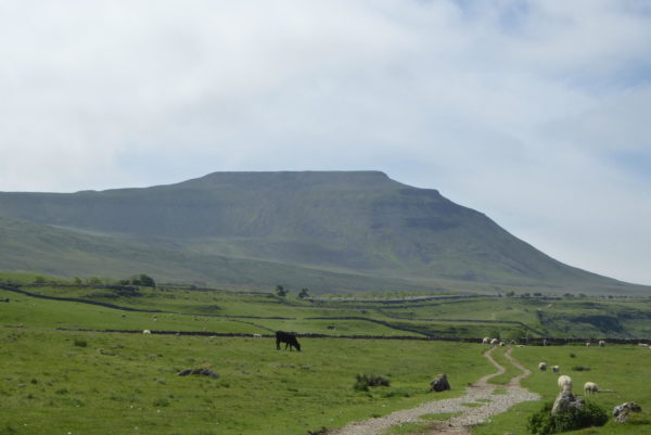
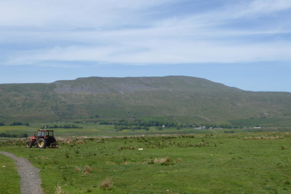
After another field of pasture, this one containing sheep, I join a track leading to the road. In front of me there is good view of Whernside.
On reaching the road I turn left and walk beside it, taking care with the oncoming traffic. The vast majority of drivers are courteous and give me space. Unfortunately there are a few that do not reduce their speed and only make a slight concession in the space they allow. I struggle to understand the mentality of such drivers.
Arriving back at the car I have covered close to six miles. It has been a cracking ramble and now it is time to head back to Brigholme Farm CL for a spot of lunch before lacing up the boots again and going for a walk with Lynnie and the dogs.
To view this 6 mile walk on OS Maps Click Here
To follow our walk you will need Ordnance Survey Outdoor Leisure Map 2 ; Yorkshire Dales – Southern & Western Area
5thJune 2018
© Two Dogs and an Awning (2018)

