We are nearing the end of our current trip to Brigholme Farm CL, but still have time to fit in another of our favourite walks from the site.
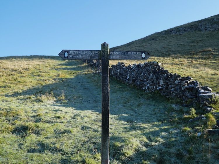
Leaving Brigholme Farm CL we turn right and head into Settle and leave the centre of town by Constitution Hill soon joining the walled footpath as it heads steadily uphill on the route of the Pennine Bridleway.
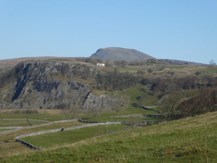
Passing through a gate we stay on the bridleway as it continues below Blua Crags. After passing through another gate we enjoy a stunning view of Langcliffe Quarry with Pen-y-ghent behind it.
As the main path veers uphill to the right we take a path heading downhill to go through a gate and then continue to descend into Langcliffe. We enter the village besides the old school, which is now being converted into a private dwelling, and turn right to take a path heading north. From the village we join a drystone walled track towards Langcliffe Quarry.

We ignore footpaths to our left and stay on the track with the disused quarry becoming evermore prominent in front of us. At a gate we enter a field of pasture and follow the path as it runs close to the wall and then starts to climb besides the quarry.
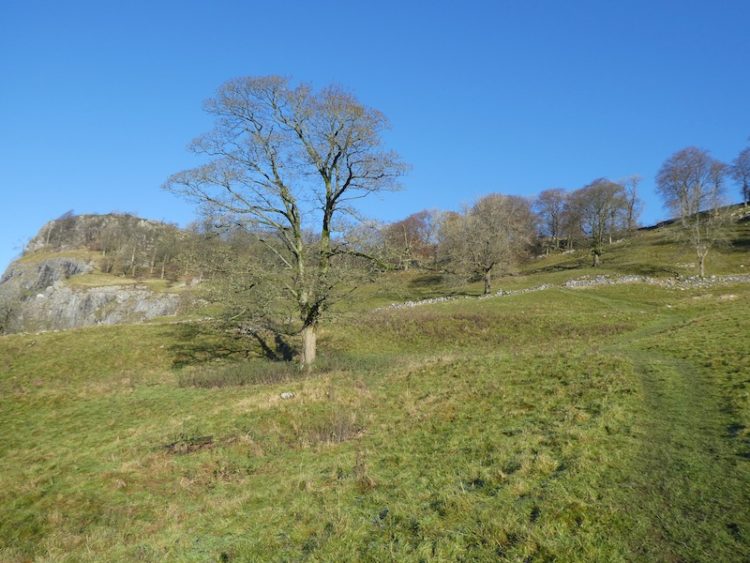
It is a short steep ascent to reach pasture land. When we have visited here in the Spring it is an abundance of wild flowers.

After going through a wall gate we turn right on the track and head up to Upper Winskill after going through a gate besides a cattle grid we turn right on the farm driveway and follow this back towards a minor road.

We join the road and turn right, soon passing a cattle grid and within a hundred yards take a grassy track on the left leading across access land to a gate in the wall.
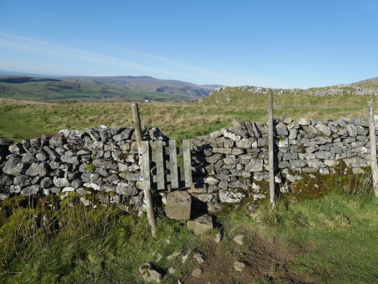
After crossing the wall we continue to a junction of paths where we turn left and head up to a ladder stile. On the far side we join a track close to Jubilee Cave and turn right.
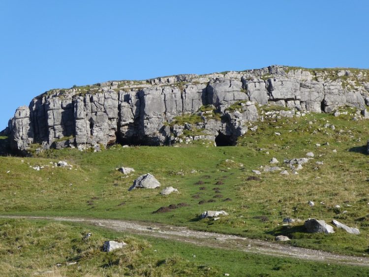
As we near a farm gate we fork left to go through a kissing gate and follow the path besides a drystone wall. To our left is Brent Scar and we soon pass Victoria Cave and continue along to another kissing gate. The path now goes below Attermire Scar towards a gate in the wall.
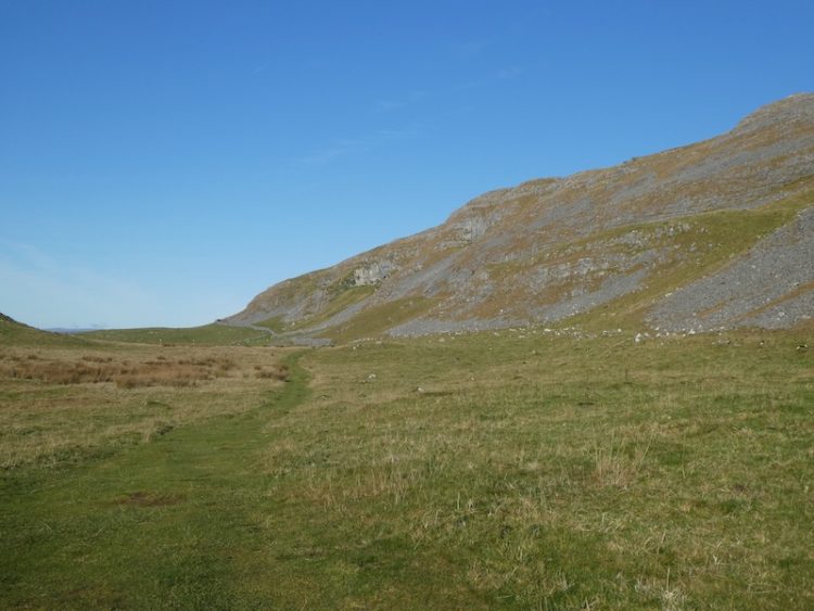
After going through the gate we descend and cross a couple of ladder stiles and then head south to walk besides Sugar Loaf hill. The path descends to reach a ladder stile. After crossing we join a track, Stockdale Lane and head down to a minor road, High Hill Lane. We turn right along the road and after a few hundred yards take a track on the left, Lambert Lane.

I have walked this lane a lot during this stay, but this is the first time in this direction.
At the end of the lane we join Mitchell Lane and follow this as it heads steeply downhill towards Settle. Our walk has covered just over eight miles; it has been a cracking afternoon to be outside. Now it is time to start the preparations for our journey back home tomorrow.
To follow my walk you will need Ordnance Survey Explorer Map OL2 – Yorkshire Dales [Western Area]
You can view this 8 mile walk on OS Maps and download the GPX File Here (Subscription to OS Maps Required)
18th November 2019
© Two Dogs and an Awning (2019)
