

After yesterday’s walk from the caravan site we are venturing a bit further afield today to walk close to Malham Tarn. Despite coming to the Dales for most of my life it is an area I have rarely walked. A few years ago Lynnie and I did a circuit of the Tarn with the dogs but apart from that we have not explored this area.
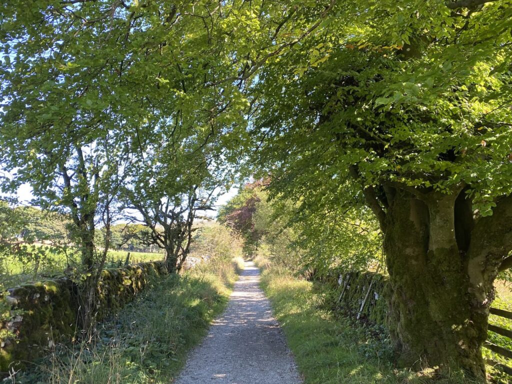
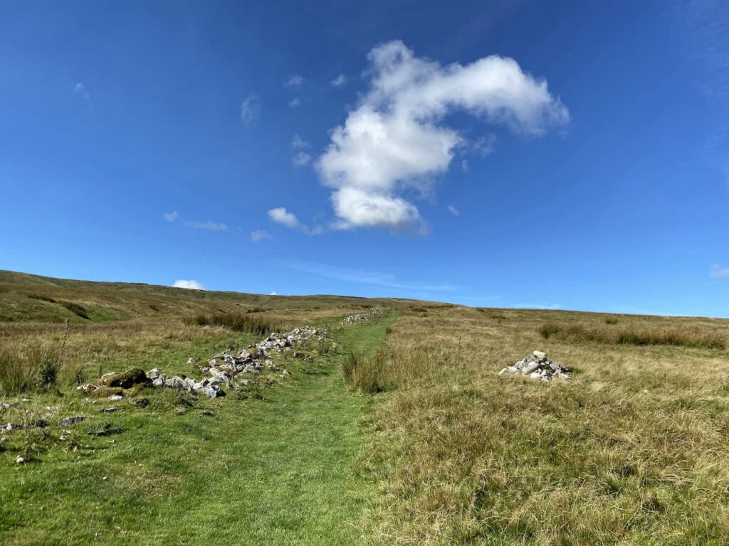
Our starting point for today’s walk is a car park in a disused quarry (Grid Reference SD883672). Leaving the parking area we turn right down the road and then very soon take a turning on the left. The footpath goes through a gate and continues along a wall-lined track.
We stay with this track until the end where we turn right and soon pass some cottages and then reach a footpath on the left which is the route of the Pennine Way. We take this path as it enters fields heading north away from the Tarn. Being part of the National Trail this path is obviously well used and is easy to follow as we continue through pasture land.
It is a corking day, there is a bit of a chill to the wind but the sky is clear with only the odd wispy cloud. Perfect conditions for walking.
I have often considered walking the Pennine Way, if I had a “bucket list” it would definitely be on it. But so far managing to organise the time is difficult, but now in my early sixties I probably need to get it done before the challenge is too much for me. Perhaps when things become a bit more settled with the Covid pandemic I will arrange it.

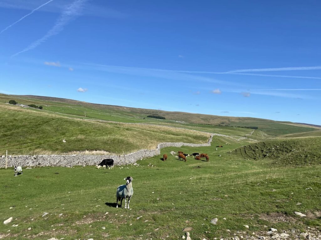
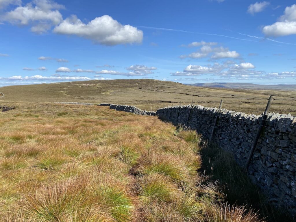
We stay with the Pennine Way markers heading towards Tennant Gill. This keeps us close to a dry stone wall and then through a field of cattle who are not interested in us or the dog. We assume they must see a lot of walkers and as long as they are left alone are not bothered by dogs.
We cross a tall wall stile and then continue on to reach a minor road where we turn right and continue along for a short distance to reach the entrance driveway to Tennant Gill. We are still on the route of the Pennine Way which goes through a gate besides a cattle grid and continues towards Tennant Gill. The route turns left just before reaching farm buildings and skirts the farm it then heads onto Middle Fell where we keep with the Pennine Way and start to ascend through rough pasture.
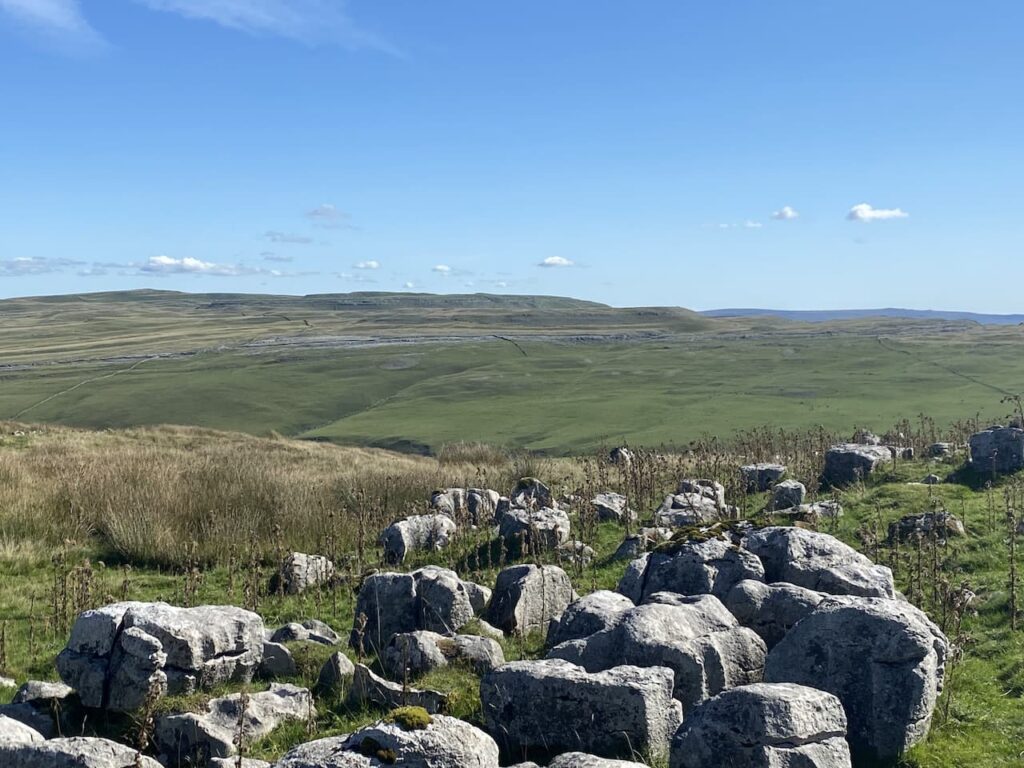
It is time for lunch so we sit on an area of limestone outcrop and admire the view. It is a constant discussion on our walks as to when I will find somewhere with a decent view for our lunch stop. I keep trying but one day I am bound to succeed!
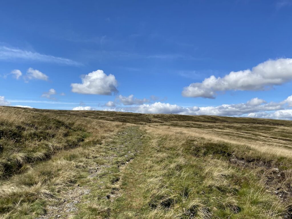
Refreshed we resume our walk along the route of the Pennine Way. It is a steady slog uphill as we head across Fountains Fell. A couple of years ago Lynnie and I were walking down from Pen-y-Ghent when we met two young chaps walking the Pennine Way. One of them had clearly had enough. At the time I wondered why the section between Malham and Horton-in-Ribblesdale would break someone. I can see now that if you were feeling low walking up this fell with Peny-Ghent rising before you and standing between a beer and bed you might be tempted to throw in the towel.
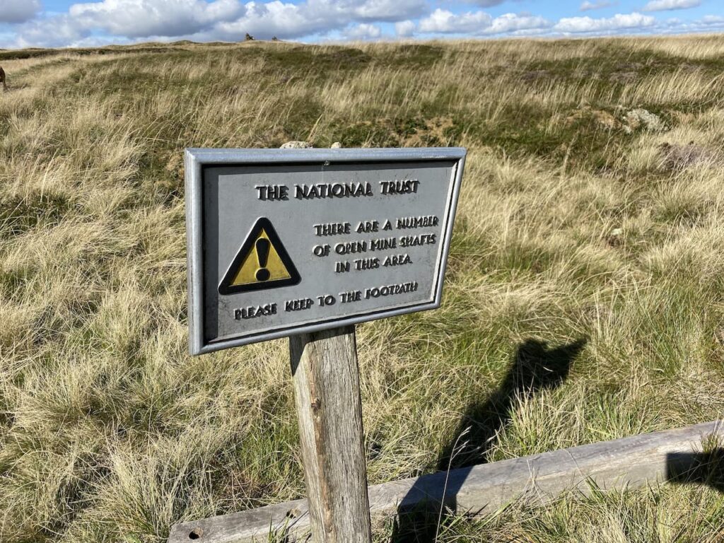
We continue along the Pennine Way and reach a notice warning us of mine shafts. This is a remote spot and mining up here must have been hard work. According to the informative Northern Mine Research Society, the seam of coal here was 30 inches thick and a survey identified more that 192 shafts. The depth of these shafts varied but some seams were as deep as 50 metres. We will be cautious and keep to well walked paths!
We continue up the footpath towards the top of the ridge and look towards Pen-y-ghent. For those folk walking the Pennine Way this point marks about eighty-five miles from the start at Edale and the ascent of Peny-ghent would look daunting for tired legs.

To get a view of Peny-ghent we have walked past the path we need, so wander back and turn onto the path going in a north easterly direction below the ridge heading towards Darnbrook Fell. To our left is the large cairn on the ridge of Fountains Fell.

Following the path we reach a wall and turn right and walk besides the wall until a gateway. Here we cross and continue across the fell with a wall on our right.

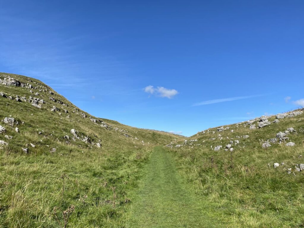
This is a remote fell and fortunately the recent dry spell means that the ground is firm under foot. We pass through slightly boggy sections which I would not feel comfortable about in the depths of winter.
We continue walking besides the wall as it initially goes downhill and then rises onto Darnbrook Fell. At a junction with another wall we turn right and follow this wall and then fence line heading east. We reach a point where it is clear that others frequently cross the fence and go over and continue across the peat exposed summit of Darnbrook Fell to reach the Ordnance Survey trig pillar. This is the 271st trig I have bagged.

It is scary how much the area around the trig pillar has been eroded. I have come across a couple of examples of this whilst trig bagging, but cannot recall another where it is so dramatic.

From the trig we return to the point where we crossed the fence and go over and then continue to follow the fence line that rejoins a wall.

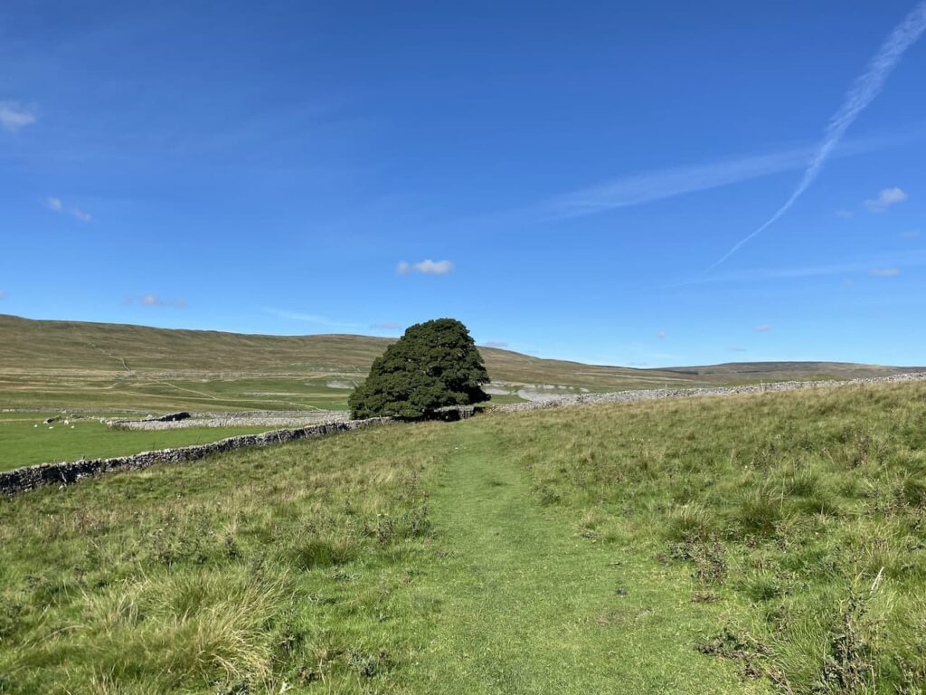
The wall line turns to the right with stunning view. On our left is Littondale, it is years since we last walked in that attractive dale. I must plan another walk there soon.
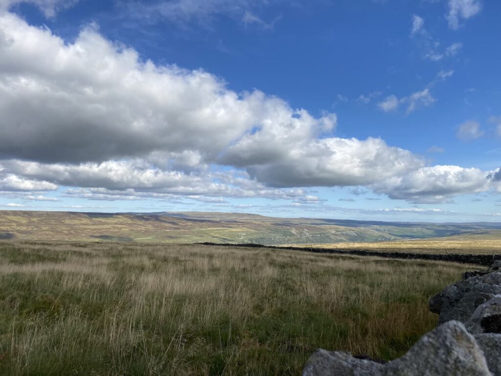
When the wall turns to the left we head across the fell on a faint path heading towards a dry stone wall and then follow the wall line to reach a gate which we go through and continue descending the fell with the wall to our left. At the wall junction we turn right and head south with cracking views in front of us.

We are now walking besides a brook as it heads downhill to Darnbrook Beck. The fell we are on is open access land and it is not clear how we exit it. There is a farm gate on our left, but no footpath. My prior research had shown that many people walk off the fell at this point, I am always reluctant to walk on land without a footpath but there appears to be no other option so we enter the field and cross above a farm.
As we go we are greeted with a cheery wave from someone at the farm so it is obvious they have no issue with walkers going through their field. We leave the field via a gate and then turn right to follow the road as it passes the farm at Darnbrook House. My original intention was to take a footpath on the left to head up unto the fell. However this would extend our walk significantly and Lynnie is in a bit of pain caused by walking across the uneven ground on the fell. Instead we follow the road back towards Tennant Gill. After walking on the exposed fell it is pleasant walking along this lane.

We cross Thoragill Beck and then soon go through a gate besides a cattle grid. This is a single track lane with passing places, the remote location means there is very little traffic. After going besides another cattle grid we continue on to pass a cracking barn.

After passing the entrance to Tennant Gill we have the option of retracing our route across fields, but this would mean crossing a wall stile and Lynnie thinks walking on the lane is better for her leg so we carry on. After going through a gate besides a cattle grid the lane goes through a field and then on our right is the disused quarry workings on Chapel Fell.
From here it is just a short walk to reach our starting point. We have covered eleven miles on a cracking day and have had some outstanding views.
To follow this walk you will need Ordnance Survey Outdoor Leisure Map OL2 – Yorkshire Dales – Western Area
You can view this 11 mile walk and download the GPX File on OS Maps (OS Maps subscription required)
20th September 2021
© Two Dogs and an Awning (2021)
All information on this site is provided free of charge and in good faith and no liability is accepted in respect of damage, loss or injury which might result from it. To the best of my knowledge the routes are entirely on public rights of way or within areas that are open for public access.
Walking can be hazardous and is done entirely at your own risk. It is your responsibility to check your route and navigate using a map and compass.