

When we sit down to plan our caravan travel for a year we like to ensure we visit some new sites and explore different areas. However, there are two sites that always feature in our travel plans: Brigholme Farm in Giggleswick and Cholsey Grange. It is August so that means it is time for our annual trip to Cholsey Grange CL.
As usual we are here for a couple of weeks, but I am on my own for the first week and then Lynnie is joining me for the second, so on arrival I set up solo and then wander out for a few miles.
Today I am heading off with no set route planned. I like walking in this way, when I reach a junction of paths I make a choice . I often just choose a path because I have never walked it. But over the years I have walked most of the paths around this part of the Chilterns.
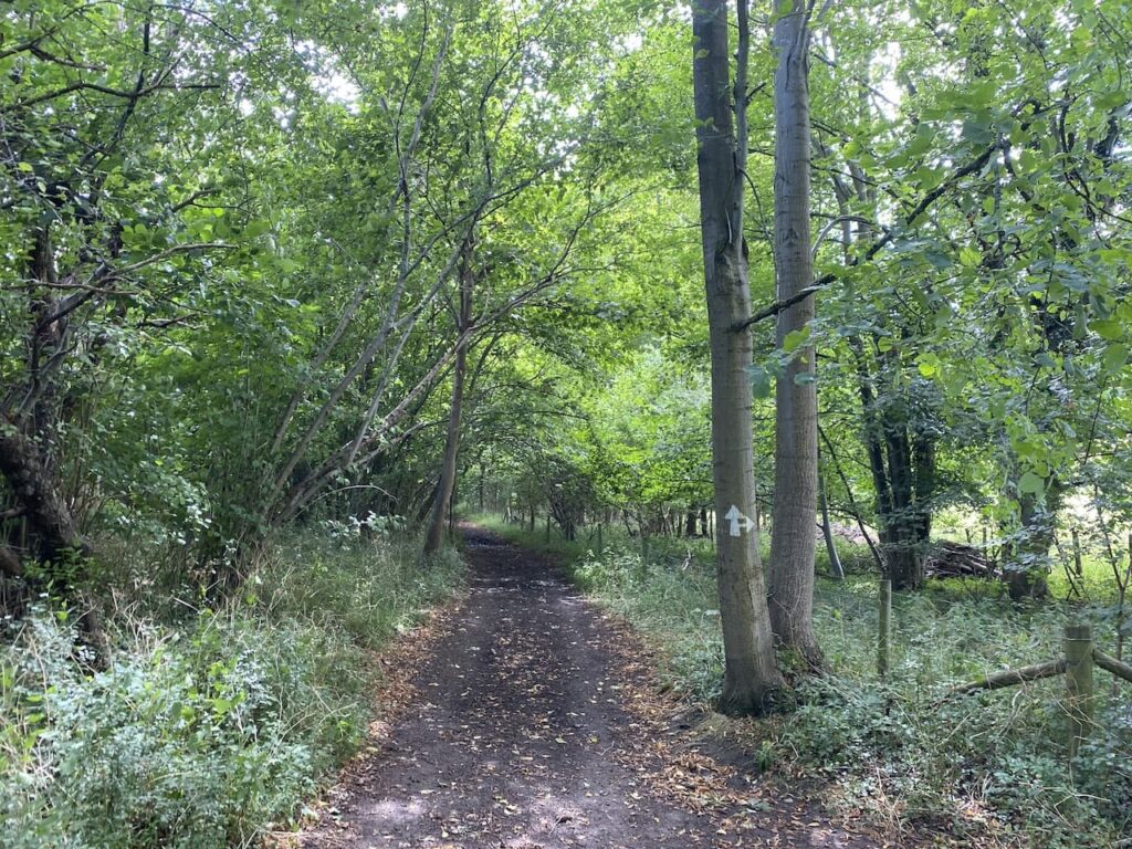
I leave through the gate at the far end of the caravan site. Joining the footpath I turn left and walk downhill into the bottom of the valley and then turn right to walk through Twigside Bottom.
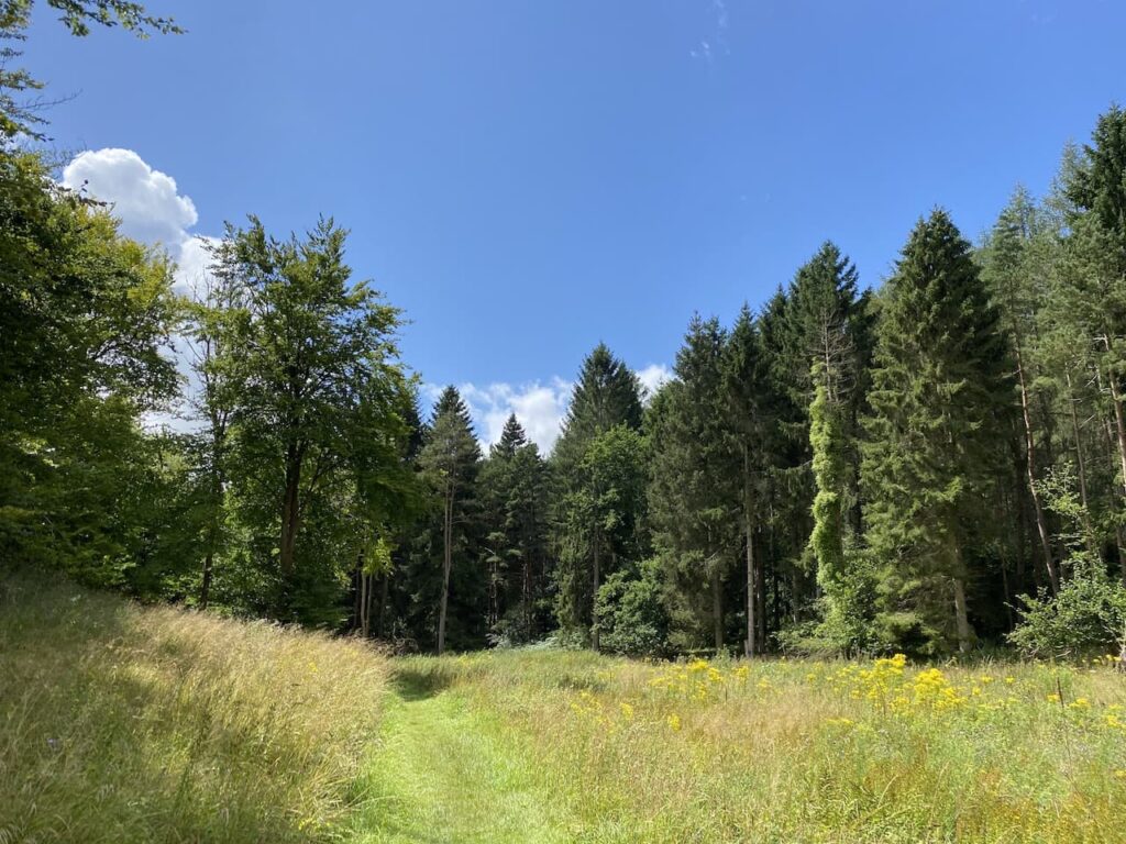
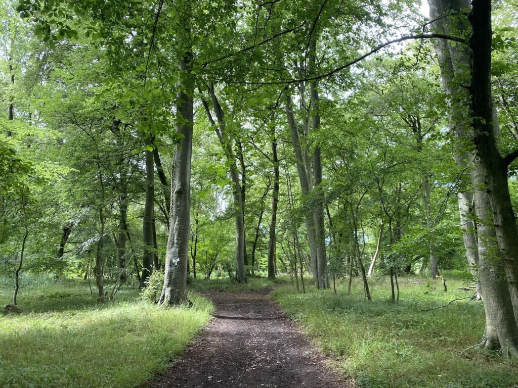
I follow the footpath through the bottom of the valley which is clearly marked with white arrows on trees.
Then just before reaching a road at Gravesend I turn right on a footpath to head uphill. Within fifty yards at a fork in the path I go left to follow the path through the bottom of Mill Hanging Wood. At a junction of paths I continue straight on to reach a minor road.
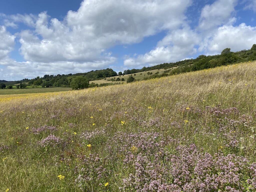
After crossing the road I follow a footpath which leads to a kissing gate onto the downland of Turville Hill.
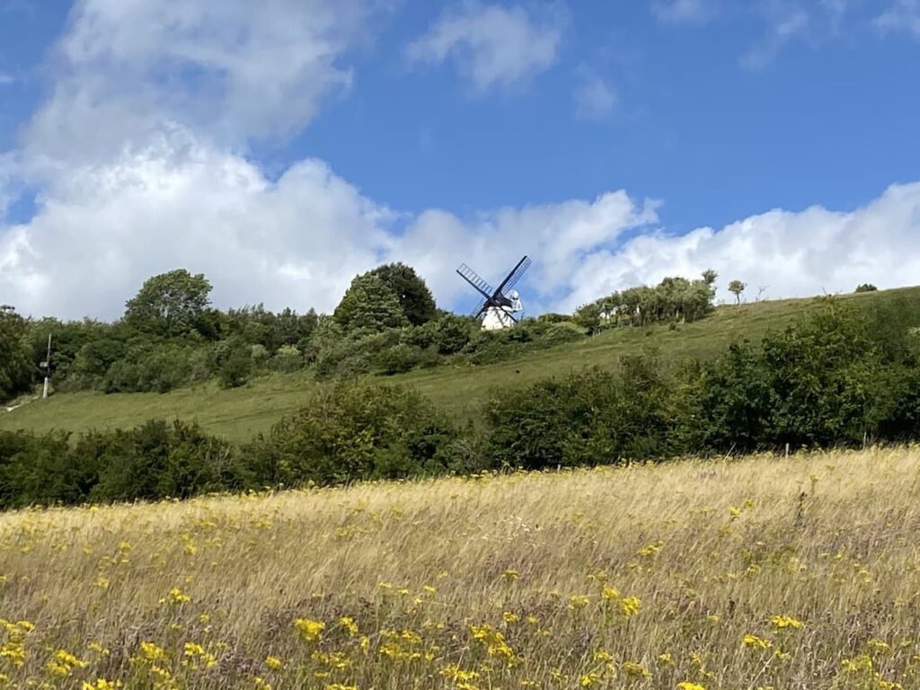
Soon to my right I can see Cobstone Mill, built around 1816 the mill was used for grinding cereal until 1873. It then fell into disrepair before being cosmetically restored in 1967 for the filming of Chitty Chitty Bang Bang. Apparently in 1971 the actress Hayley Mills and her husband Ray Boulting purchased it and restored it. The mill is a popular venue for filming and has featured in a number of films and TV programmes.
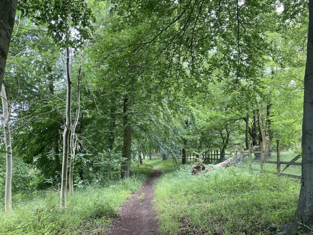
The path across the downs leads to a kissing gate which I go through and then immediately turn left through a metal gate and walk into Turville where I turn right and follow the road out of the village. I soon reach a belt of beech trees on the right and follow a well-used footpath to pass Turville Valley Farm and then cross a minor road. When I reach a fork in the path I go left.
The footpath now ascends besides Holloway Lane and then as it starts to level out the route continues along a minor road to reach Northend where I turn right on a track close to the village pond.

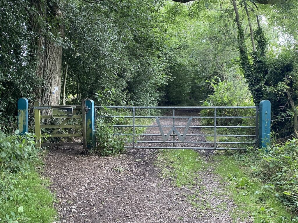
This track leads to a gate into Wormsely Park. This estate was acquired by Paul Getty in 1985 and has remained in his family ever since.
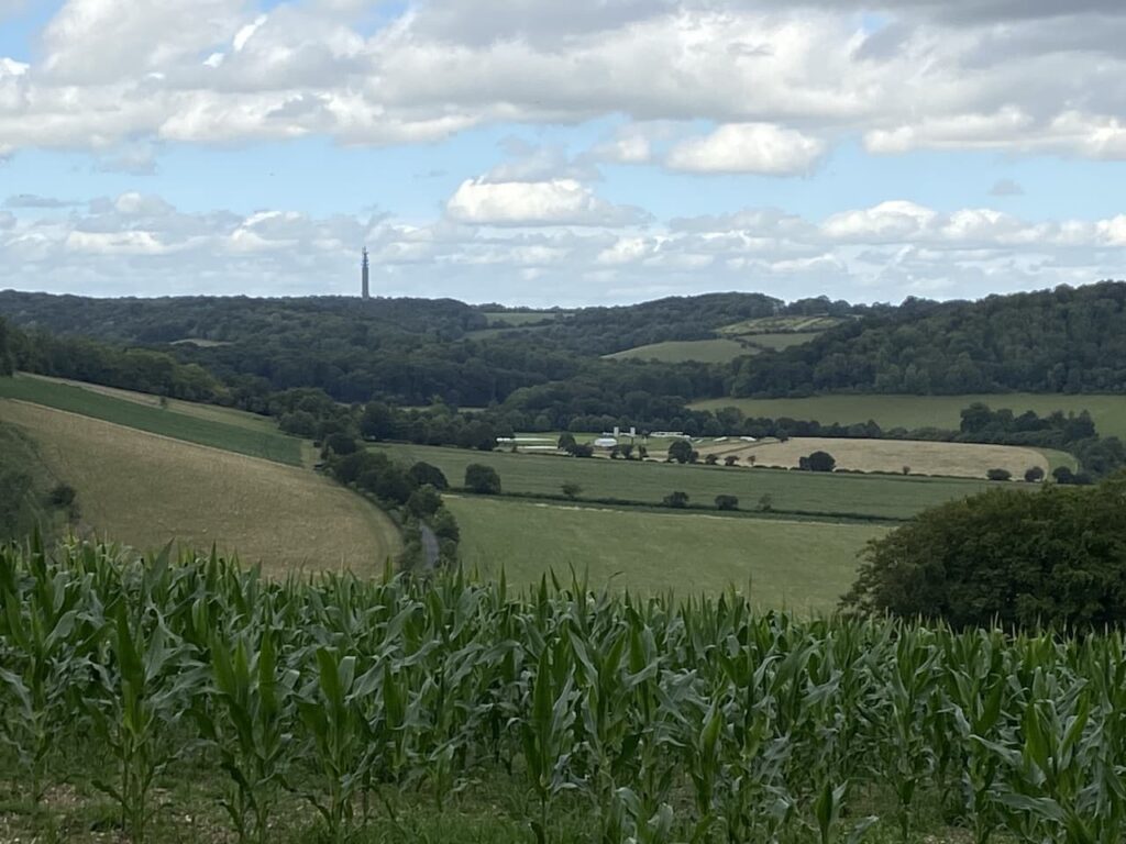
From this track there are fine views over parts of the estate, in 1992 Paul Getty constructed a cricket ground on the estate which has attracted celebrity matches and has been used by overseas touring teams. In 2013 it hosted a women’s test match between England and Australia.
The track soon leads downhill to an estate road which I cross and continue along a track.

At a crossing of tracks I ignore the option of turning right to return to Ibstone on the Chiltern Way, instead I keep with the track to reach a junction of paths near a clearing and turn right heading uphill.

This is a long steady ascent through woodland but eventually the path levels out and reaches a gate which I go through and turn right to reach Ibstone Common. I now cross the common, passing the large standing stone which was erected to mark the Millennium year in 2000.

I continue across the common and then the village cricket pitch to reach the entrance driveway to Cholsey Grange.
To follow my walk you will need Ordnance Survey Explorer Map 171 – Chiltern Hills West
You can view this 8 mile walk and download the GPX File on OS Maps (OS Maps subscription required)
6th August 2021
© Two Dogs and an Awning (2021)
All information on this site is provided free of charge and in good faith and no liability is accepted in respect of damage, loss or injury which might result from it. To the best of my knowledge the routes are entirely on public rights of way or within areas that are open for public access.
Walking can be hazardous and is done entirely at your own risk. It is your responsibility to check your route and navigate using a map and compass.