

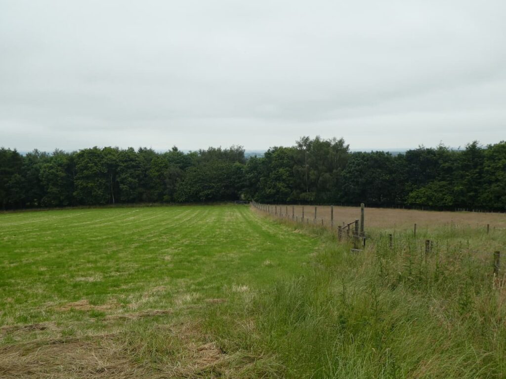
One of the things I always look for before booking a new caravan site is how easy it is to walk a dog without encountering a busy road. Having a safe morning walk is essential to a relaxing stay. Here at the Old Orchard CL worrying about a safe walk is not an issue at all. Very thoughtfully the margins of the fields have been left so that those staying can go for an extensive wander on the farm without encountering any traffic or livestock.
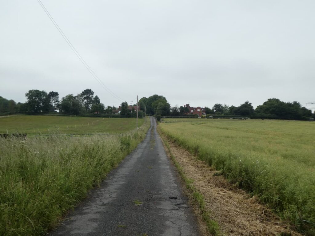
After my early morning walk with Crosby it is time to settle down and plan today’s main walk. As usual I am keen to do a few walks from the site. Today we head off from the site through the main entrance and turn right and walk down the lane and then as the road sweeps to the right in front of Yew Tree Cottage we take a footpath on the left and head into fields.
We now head downhill on the path, going straight on at a crossing of footpaths and continue besides edge of the field towards Sytchampton Farm.
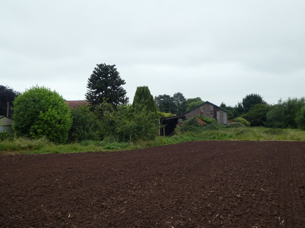
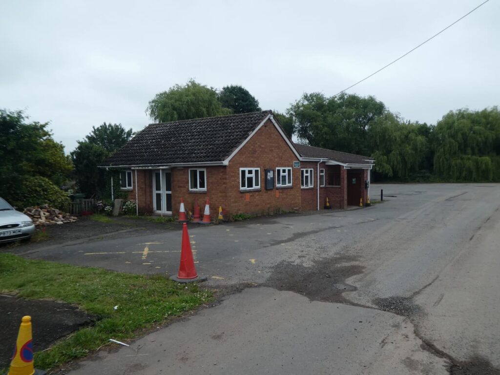
We follow the footpath past properties to reach Dark Lane and turn right on this minor road and head down to a junction with the busy A449. Fortunately there is a large central reservation on this dual carriageway and we are able to cross safely to reach the far side and then continue along a track that passes Sytchampton village hall.
The track now continues heading east with a stream to our left.
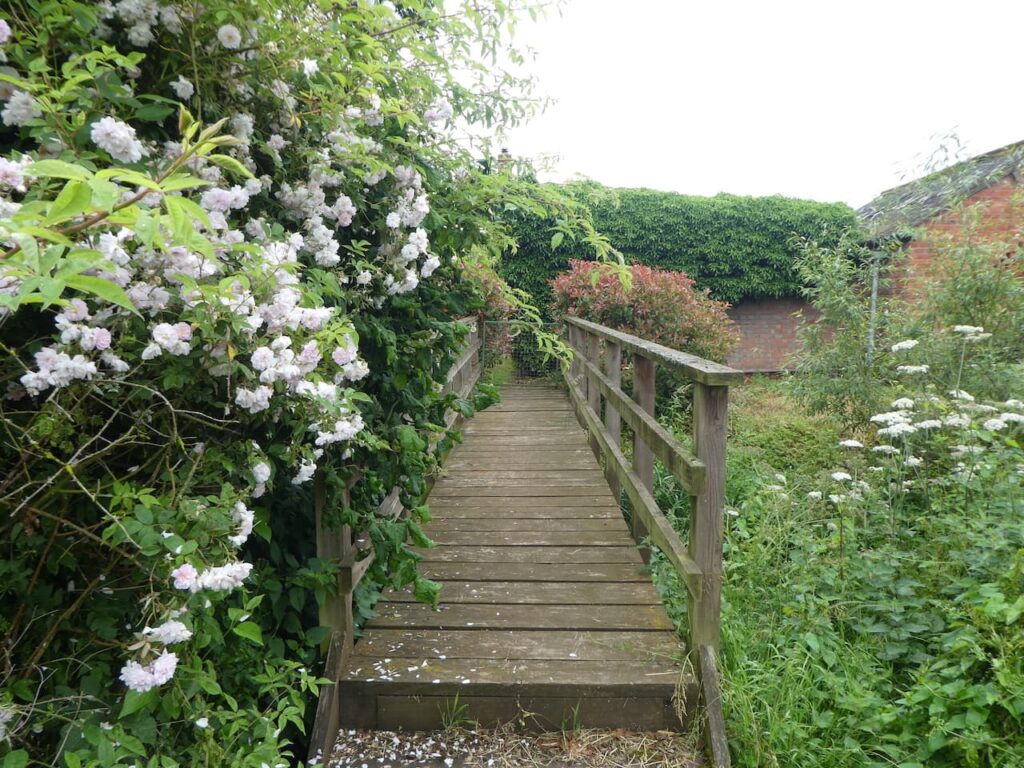
At a junction of paths we turn left and cross the stream and then head north for a few hundred yards and then at a junction of paths go right to head across the field towards Doverdale Mill. We leave the field via a footbridge and then follow the waymarkers to pass around the mill which is now a residential property.
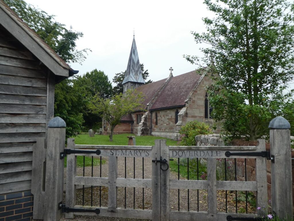
We follow the footpath along the driveway of the mill and then at a junction of lanes turn left towards Doverdale and soon reach St Mary’s Church. This small attractive church was originally built in the 14th century and remodeled in 17th century before being restored in 1860.
From the church we continue along the lane to reach a minor road where we turn left and stay with this road to reach a junction besides the Honey Bee pub. Here we turn right on the lane signposted to Snead’s Green and Elmley Lovett and stay on it until the lane bends to the right, at this point we go straight on through a gate to join a footpath across a field.
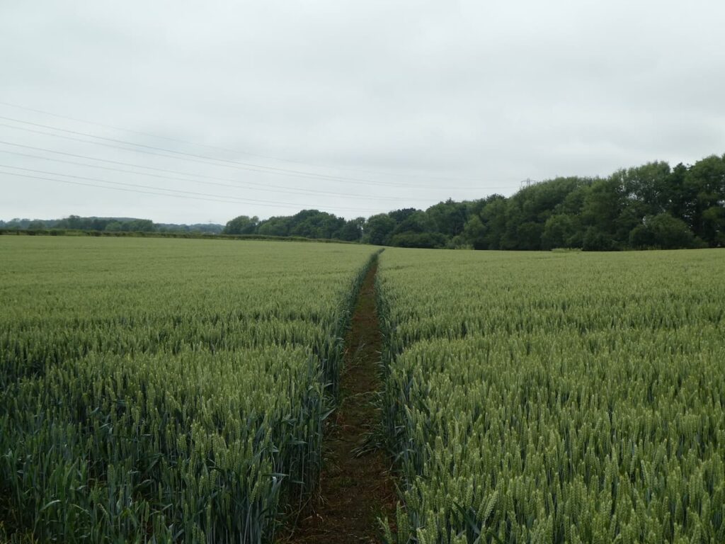
The path reaches a belt of trees and we continue along besides the field and then go through the trees to enter another field where we head in a north westerly direction across fields in the direction of Acton Manor.
As we near the Manor the paths marked on the map are not clear on the ground, we therefore, head through a gate and continue besides a paddock next to Acton Hall and then join a driveway and turn left towards the A449.
I find it difficult to understand why when footpaths cross land close to a property the owners don’t ensure the route is clearly marked. I assume it is to make it more difficult for walkers and discourage them, however the result is that folk are likely to end up inadvertently walking across private land.
On reaching the A449 we turn right and walk besides the dual carriageway on a wide grass verge and then cross via the central reservation and head east along Mount Pleasant Lane.
After passing a permanent caravan park Mount Pleasant Lane becomes Dog Lane and continues steadily uphill with a golf course on the opposite side of the hedge to our right.
At the end of the lane we take a footpath on the right that goes through the hedge line besides a large electricity pylon and follow the footpath across Ombersley Golf Club. This course is relatively new, built in 1990 by the farming family that owned the land, the eighteen holes are made up of two nine holes either side of a road.
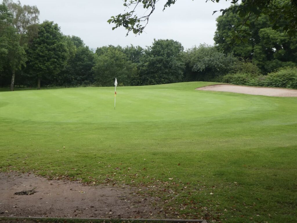
We continue across the Course to reach a junction of paths at Bishops Wood Lane. Our original plan was to take a path here leading down towards the River Severn, however, we decide to take a quicker way back and turn left to walk along the road soon passing the entrance to the golf course club house.
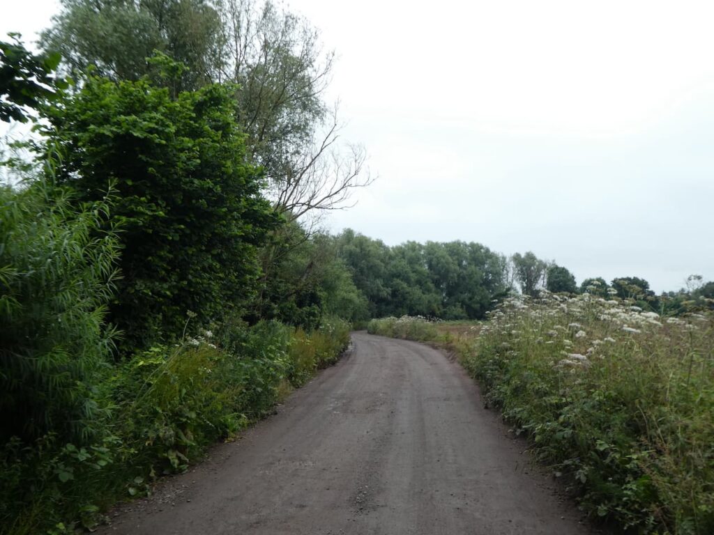
At the end of the lane we take a left turn into Owlhill Lane towards Dunhampton and then within fifity yards turn right into Lineholt Lane at Battenton Farm. We now stay on this narrow lane passing a turn for Dark Lane and then at a T-junction turn left into Woodfield Lane. From here it is only a short walk up a slight hill to return to the caravan site entrance.
Our walk has covered seven miles. There has been more road walking than we would like, but they have been quiet lanes and we have encountered very little traffic so it has not been much of an issue.
To follow my walk, you will need Ordnance Survey Explorer Map – 204 – Worcester & Droitwich Spa
You can view this 7 mile walk and download the GPX File on OS Maps (OS Maps subscription required)
28th June 2021
© Two Dogs and an Awning (2021)
All information on this site is provided free of charge and in good faith and no liability is accepted in respect of damage, loss or injury which might result from it. To the best of my knowledge the routes are entirely on public rights of way or within areas that are open for public access.
Walking can be hazardous and is done entirely at your own risk. It is your responsibility to check your route and navigate using a map and compass.