

Yesterday evening I spent some time studying the Ordnance Survey maps for the local area around Old Orchard CL. As far as Lynnie is concerned my studying maps is ominous, she knows I will be planning a route to bag a couple of trig points. In times past I would roughly work out the distance of a route with a method I learnt at school fifty years ago. It was not wholly accurate, but gave a rough approximation. Strangely, and to Lynnie’s dismay, the walk was always further than I calculated. These days after studying the paper map I plot the route on OS Maps giving a pretty accurate distance, so there should be no unwelcome surprises.
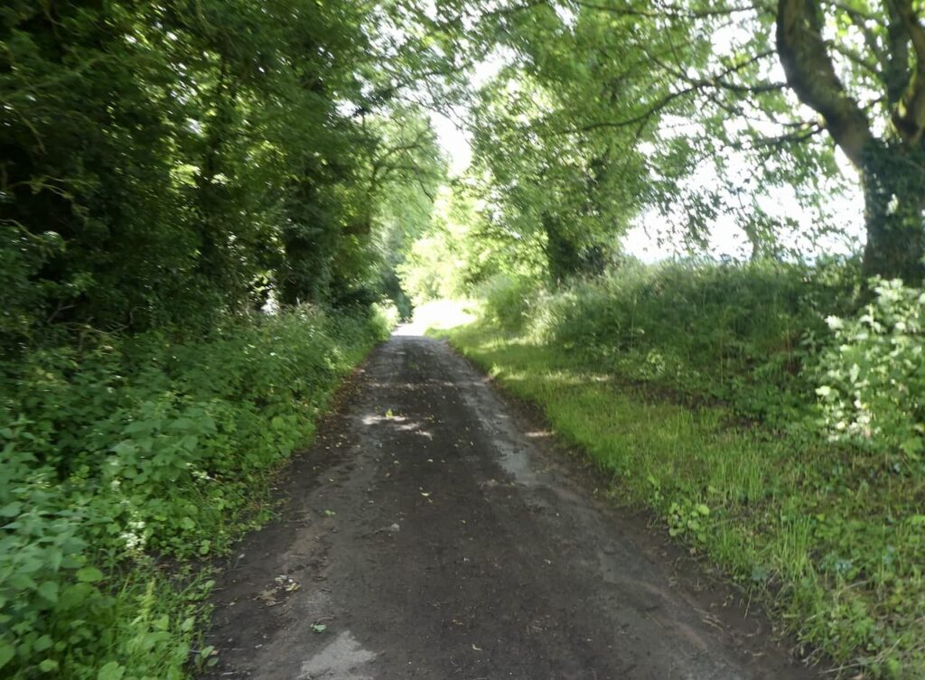
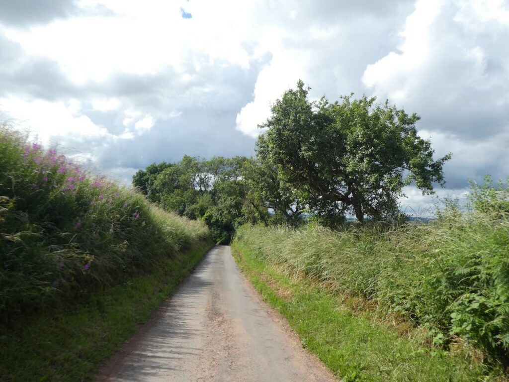
Heading out today we know our planned route is about 12 miles, I say about because there is always scope for deviation if we see something interesting along the way. The first section of our walk is on local lanes, we have walked a few of these since our arrival and know they are relatively free of traffic.
Leaving the site by the main entrance we turn left and follow the road steadily downhill to pass a junction on the right and then fifty yards further on fork right on to a single track lane, Little Battenton.
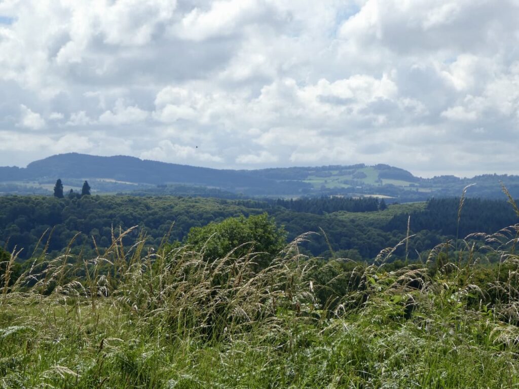
We stay with this lane for just over 500 metres and then turn left into another narrow lane, Tattle Street. This leads to a road, Blacksmith’s Bank where we turn right. There are fine views from this road across the River Severn to Abberley Hill where we were walking a few days ago.
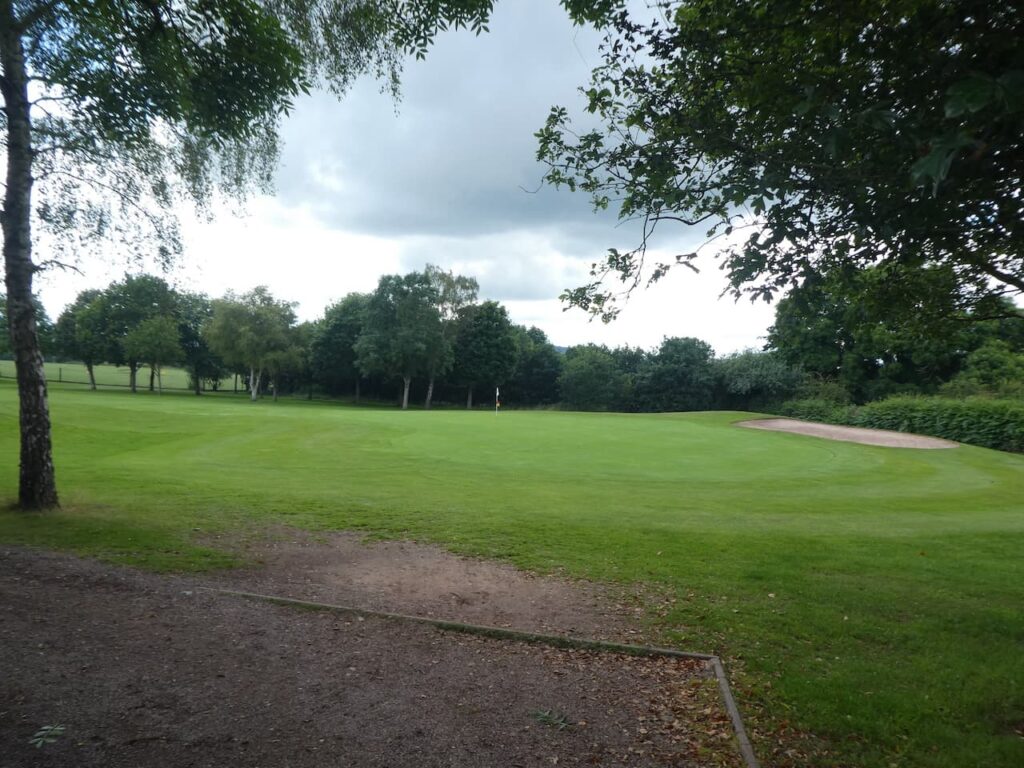
We continue along this road for 250 metres to reach a grass triangle at a junction. Here we turn left onto the road sign-posted towards Hartlebury and Stourport. We walked this lane in the opposite direction a few days ago and soon pass Ombersley Golf Club.
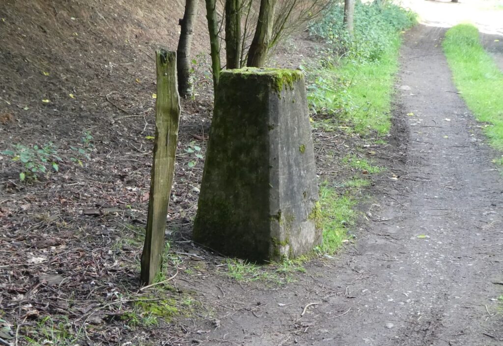
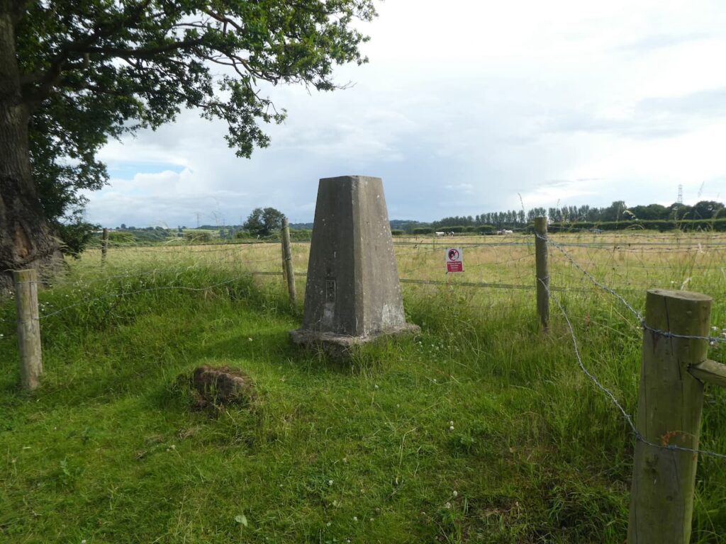
We stay on this lane for 500 metres, ignoring footpaths leading off of on both sides and a junction on the left, to reach a driveway to Bishops Wood Nursery. We follow this towards the car park for the nursery and then spot the Ordnance Survey Trig Pillar that is located on land to the right. This is the 261st trig I have bagged.
After bagging the trig we walk back to the road and then turn left, at which point Lynnie realises we have detoured from the route to bag a trig. She has become resigned to this and sighs exasperatedly whilst mentally chalking up that it is worth an ice cream. After 500 metres we turn right into Lincomb Bank and follow this road downhill.
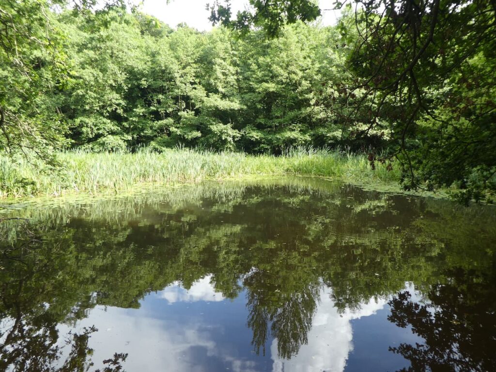
On reaching houses in Lincomb we turn right to pass Lincomb Farm and continue along Lincomb Lane to reach the A4025 which we cross to continue along a narrow lane. After 750 metres we turn left into Titton Lane and follow this downhill to Hillditch Pool. Just after crossing a stream we turn right onto a footpath that leads to Hillditch Coppice.
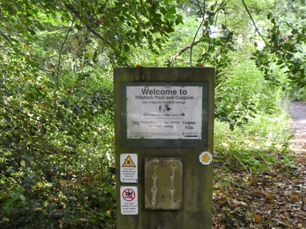
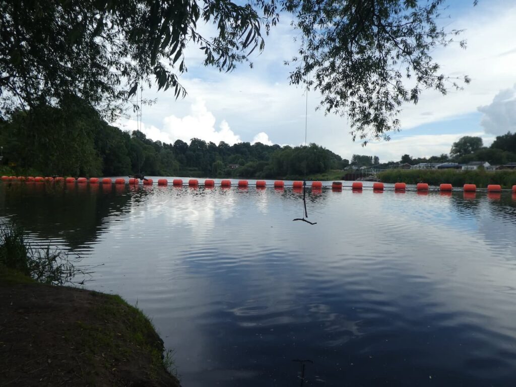
Apparently this pool and surrounding bog area is a rare habitat, it is an acid bog and attracts a variety of wildlife. There are signs advising people not to swim in the pool, strangely it had not crossed my mind that anyone would want to venture into the murky water.
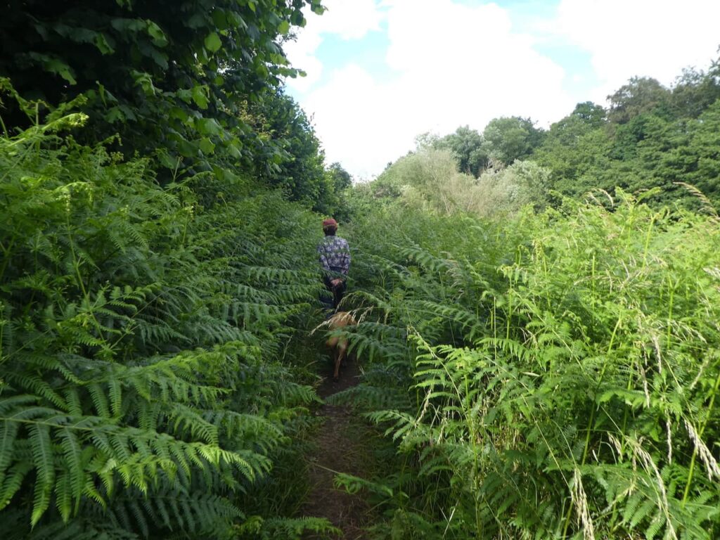
Our route heads north, the footpath is surrounded by bracken, which is tall at this time of year.
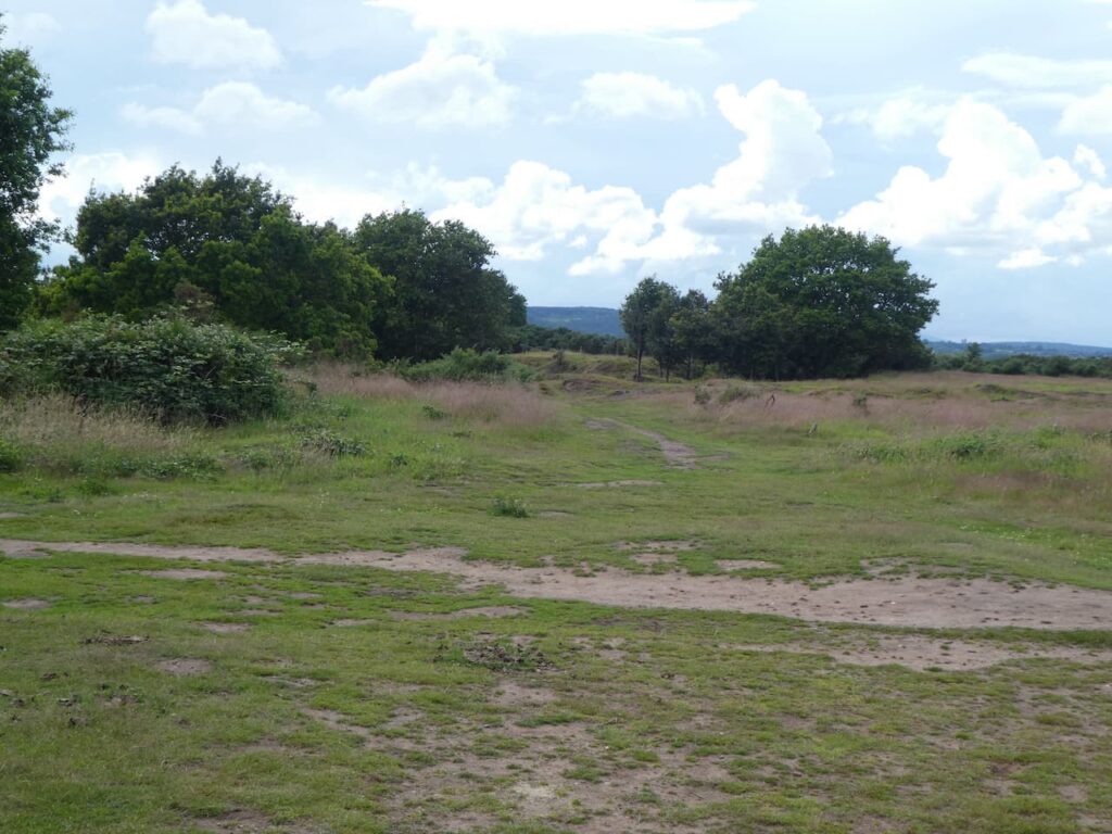
Soon the path becomes clearer and runs besides paddocks to reach a junction of paths, we turn left and head uphill towards Upper Poollands Farm and the Stourport Riding Centre. After passing the riding centre barns the footpath continues along a track to reach Hartlebury Common where we stay close to the fence line to reach the Hartlebury Common Ordnance Survey trig pillar, my 262nd.
We now head across Hartlebury Common in a westerly direction. There are a network of paths on this common, which according to Worcestershire County Council is the largest and most important area of heathland remaining in Worcestershire.
We are nattering away and taking in the views so I am not fully concentrating on our route, it does not matter because we soon find a path that will take us across the common to reach the A4025 at a car park opposite Cook’s Garden Centre. Here we turn right and walk along the pavement for 200 metres and then take a lane on the left which we follow to reach Power Station Road where we turn left and then follow the way-markers to reach the River Severn.

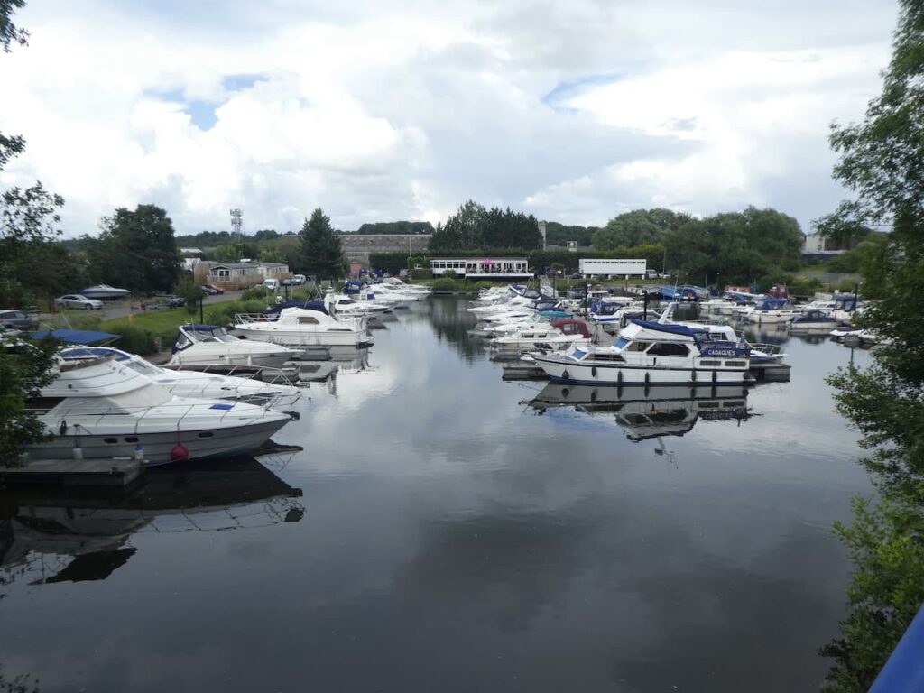
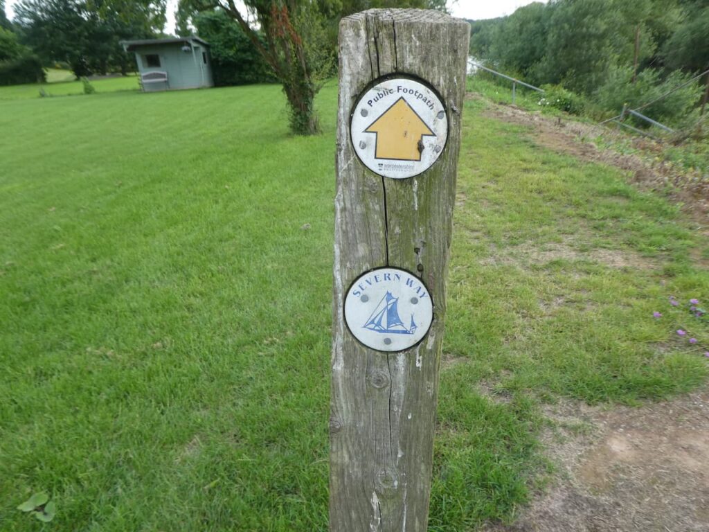
On the riverbank we turn left and stay with the easy to follow Severn Way to pass Stourport Marina.
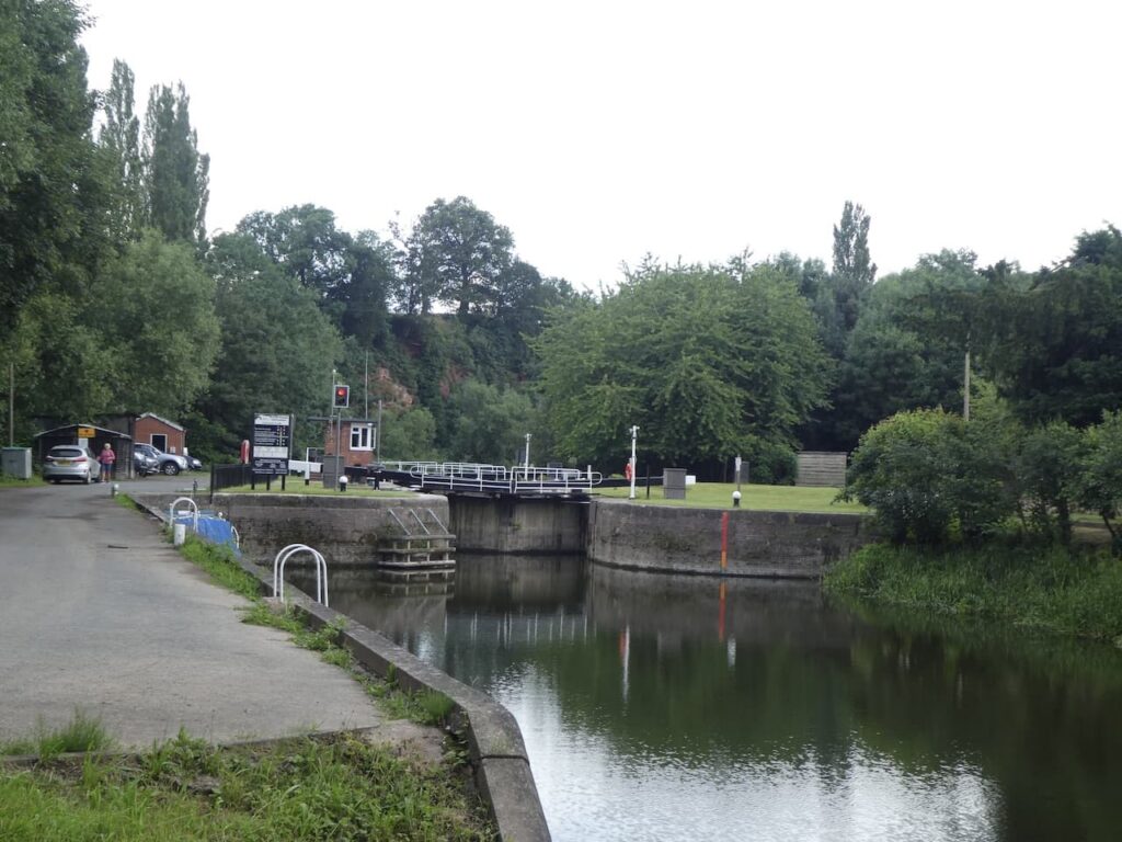
A few hundred metres further on down the river we reach a barrier across part of the river which diverts boats away from a weir and into Lincomb Lock.
We quickly reach the lock. This is one of a series of locks built in the 1830’s to enable the River Severn to be navigable up to Stourport.
Walking on a route besides a river or canal is very straightforward and this one is no exception. The path is clearly way-marked as we continue to head south through woodland and then into fields.
We pass a campsite and continue along the river bank until we reach a footpath on the left which takes us across a field towards Lyth Farm.
From the field we join a track and pass the farm, staying on the track to reach a minor road at a junction. We turn right and follow this lane to another junction where we turn left and then at the next junction go right. In around 100 metres we take a footpath just before a 16th century timber framed property, Tytchney Gables.
From here we follow the footpath back across the fields to return to our caravan at Old Orchard. The walk has covered just over 11.5 miles which was just about what I promised Lynnie before we set off!
To follow our walk you will need Ordnance Survey Outdoor Explorer – 204 – Worcester & Droitwich Spa, and OS Explorer – 218 – Kidderminster & Wyre Forest
You can view this 11.5 mile walk and download the GPX File on OS Maps (OS Maps subscription required)
3rd July 2021
© Two Dogs and an Awning (2021)
All information on this site is provided free of charge and in good faith and no liability is accepted in respect of damage, loss or injury which might result from it. To the best of my knowledge the routes are entirely on public rights of way or within areas that are open for public access.
Walking can be hazardous and is done entirely at your own risk. It is your responsibility to check your route and navigate using a map and compass.